Webcam nella Regione di Kawungan, Australia
La lista delle webcam vicino a Kawungan, Australia:

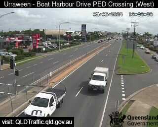
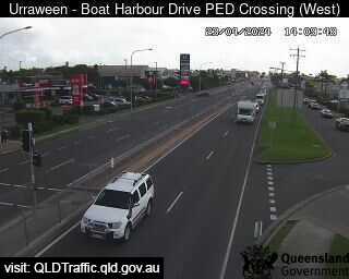
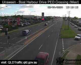
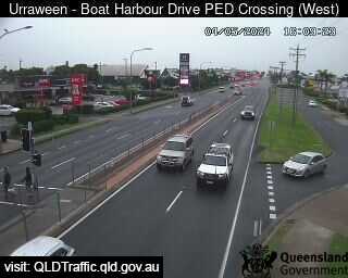
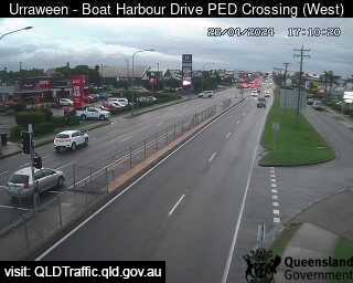
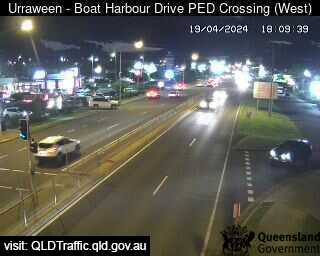
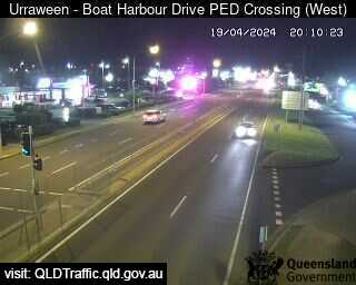
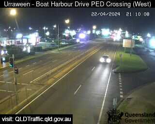
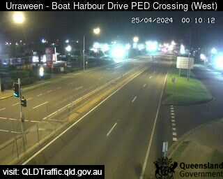
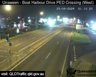
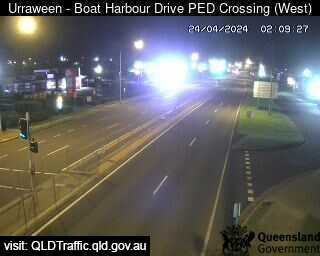
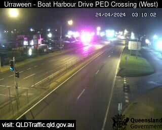
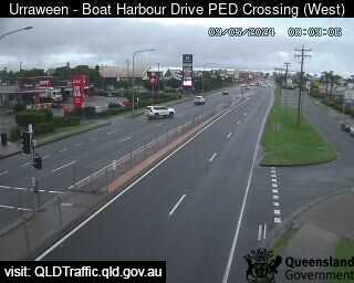
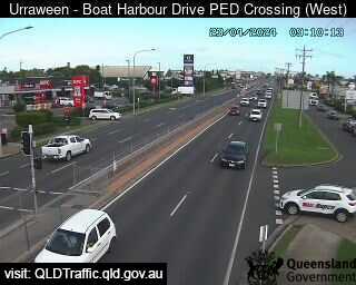
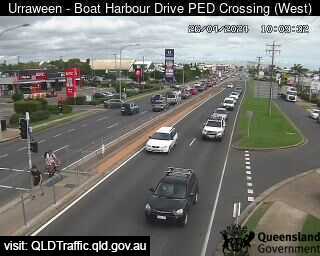
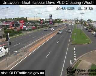
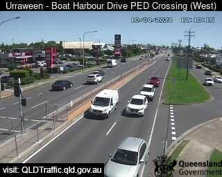
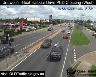
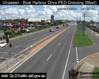
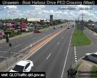
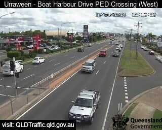
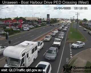
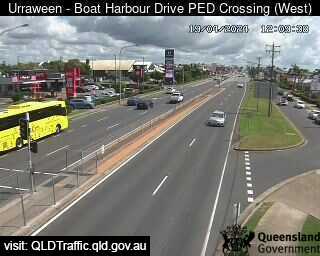
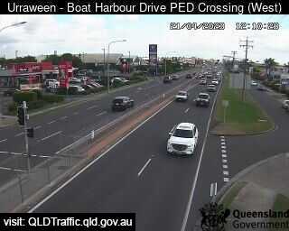
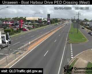
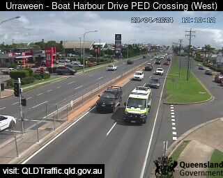
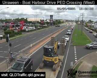
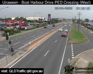
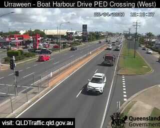
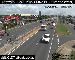
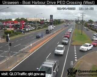
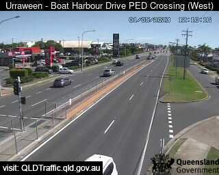
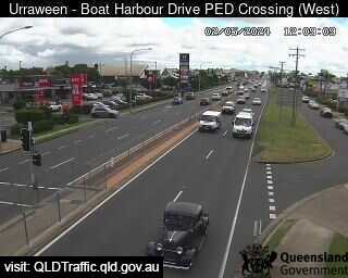
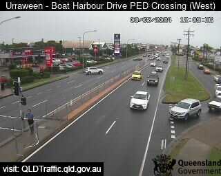
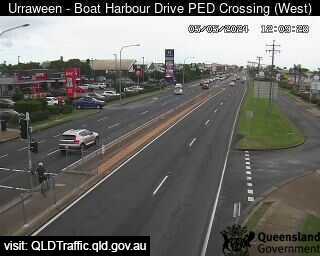
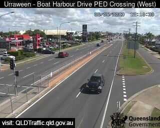
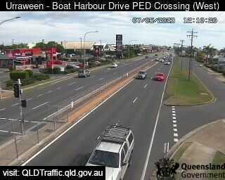
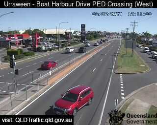
Urraween, Australien - 1.4 km da Kawungan: Boat harbour Drive Pedestrian Crossing (looking west) - Una vista sul traffico.
Operatore: Queensland Government - Department of Transport and Main Roads

Mer. 13:09
Mer. 14:09
Mer. 15:09
Mer. 16:09
Mer. 17:09
Mer. 18:09
Mer. 19:09
Mer. 20:09
Mer. 21:09
Mer. 22:09
Mer. 23:09
Gio. 00:09
Gio. 01:09
Gio. 02:09
Gio. 03:09
Gio. 04:09
Gio. 05:09
Gio. 06:09
Gio. 07:09
Gio. 08:09
Gio. 09:09
Gio. 10:09
Gio. 11:09
Gio. 12:09
Mer. 10.4.
Gio. 11.4.
Ven. 12.4.
Sab. 13.4.
Dom. 14.4.
Lun. 15.4.
Mar. 16.4.
Mer. 17.4.
Gio. 18.4.
Ven. 19.4.
Sab. 20.4.
Dom. 21.4.
Lun. 22.4.
Mar. 23.4.
Mer. 24.4.
Gio. 25.4.
Ven. 26.4.
Sab. 27.4.
Dom. 28.4.
Lun. 29.4.
Mar. 30.4.
Mer. 1.5.
Gio. 2.5.
Ven. 3.5.
Sab. 4.5.
Dom. 5.5.
Lun. 6.5.
Mar. 7.5.
Mer. 8.5.
Gio. 9.5.
Operatore: Queensland Government - Department of Transport and Main Roads
Mer. 13:09
Mer. 14:09
Mer. 15:09
Mer. 16:09
Mer. 17:09
Mer. 18:09

Mer. 19:09
Mer. 20:09
Mer. 21:09

Mer. 22:09

Mer. 23:09
Gio. 00:09
Gio. 01:09
Gio. 02:09
Gio. 03:09
Gio. 04:09
Gio. 05:09
Gio. 06:09
Gio. 07:09
Gio. 08:09
Gio. 09:09
Gio. 10:09
Gio. 11:09

Gio. 12:09
Mer. 10.4.

Gio. 11.4.
Ven. 12.4.
Sab. 13.4.
Dom. 14.4.

Lun. 15.4.

Mar. 16.4.
Mer. 17.4.
Gio. 18.4.
Ven. 19.4.

Sab. 20.4.
Dom. 21.4.
Lun. 22.4.
Mar. 23.4.
Mer. 24.4.
Gio. 25.4.
Ven. 26.4.
Sab. 27.4.
Dom. 28.4.

Lun. 29.4.

Mar. 30.4.
Mer. 1.5.
Gio. 2.5.
Ven. 3.5.

Sab. 4.5.
Dom. 5.5.
Lun. 6.5.
Mar. 7.5.

Mer. 8.5.
Gio. 9.5.

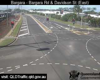
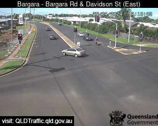
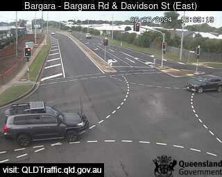
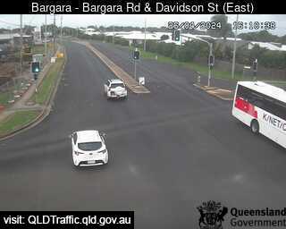
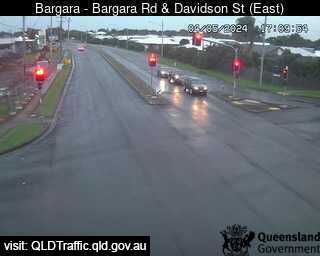
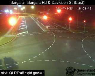
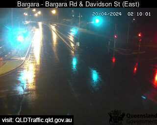
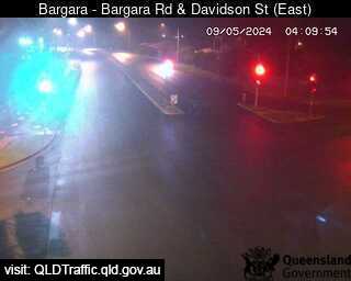
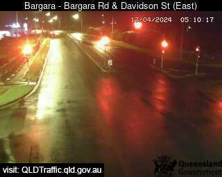
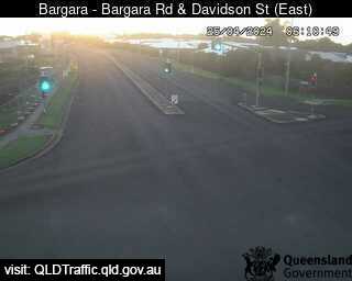
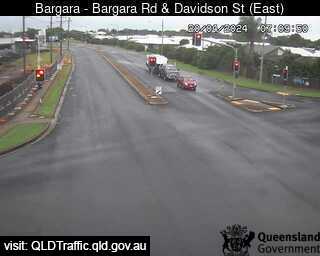
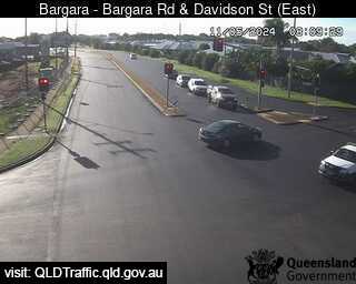
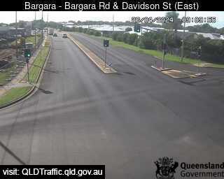
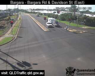
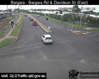
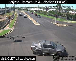
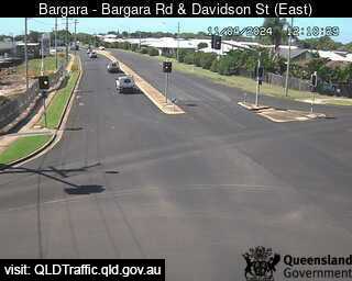
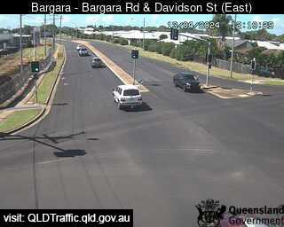
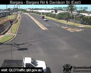
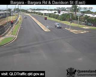
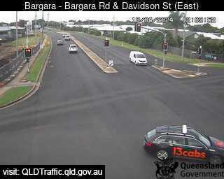
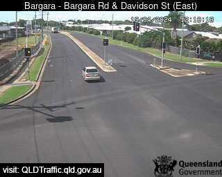
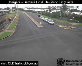
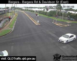
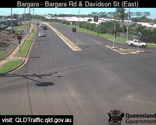
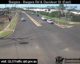
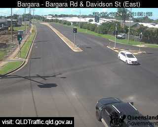
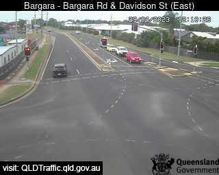
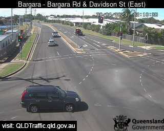
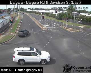
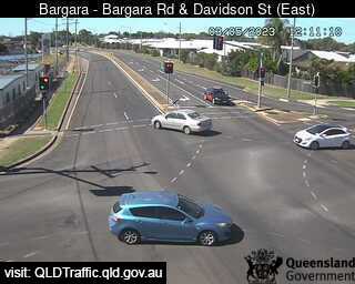
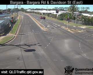
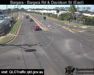
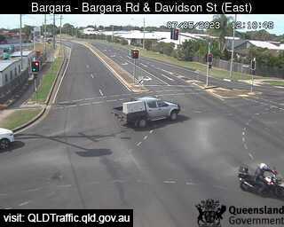
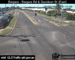
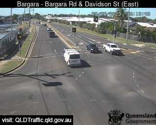
Bargara, Australien - 65.6 km da Kawungan: Bargara Road and Davidson Street (East) - Una vista sul traffico.
Operatore: Queensland Government - Department of Transport and Main Roads
Mer. 13:10
Mer. 14:10
Mer. 15:10
Mer. 16:10
Mer. 17:10
Mer. 18:10
Mer. 19:10
Mer. 20:10
Mer. 21:10
Mer. 22:10
Mer. 23:10
Gio. 00:10
Gio. 01:10
Gio. 02:10
Gio. 03:10
Gio. 04:10
Gio. 05:10
Gio. 06:10
Gio. 07:10
Gio. 08:10
Gio. 09:10
Gio. 10:10
Gio. 11:10
Gio. 12:10
Mer. 10.4.
Gio. 11.4.
Ven. 12.4.
Sab. 13.4.
Dom. 14.4.
Lun. 15.4.
Mar. 16.4.
Mer. 17.4.
Gio. 18.4.
Ven. 19.4.
Sab. 20.4.
Dom. 21.4.
Lun. 22.4.
Mar. 23.4.
Mer. 24.4.
Gio. 25.4.
Ven. 26.4.
Sab. 27.4.
Dom. 28.4.
Lun. 29.4.
Mar. 30.4.
Mer. 1.5.
Gio. 2.5.
Ven. 3.5.
Sab. 4.5.
Dom. 5.5.
Lun. 6.5.
Mar. 7.5.
Mer. 8.5.
Gio. 9.5.
Operatore: Queensland Government - Department of Transport and Main Roads
Mer. 13:10
Mer. 14:10
Mer. 15:10
Mer. 16:10
Mer. 17:10
Mer. 18:10
Mer. 19:10

Mer. 20:10
Mer. 21:10

Mer. 22:10
Mer. 23:10

Gio. 00:10
Gio. 01:10
Gio. 02:10

Gio. 03:10
Gio. 04:10
Gio. 05:10
Gio. 06:10
Gio. 07:10
Gio. 08:10
Gio. 09:10
Gio. 10:10
Gio. 11:10

Gio. 12:10
Mer. 10.4.
Gio. 11.4.

Ven. 12.4.
Sab. 13.4.
Dom. 14.4.

Lun. 15.4.
Mar. 16.4.

Mer. 17.4.
Gio. 18.4.
Ven. 19.4.
Sab. 20.4.
Dom. 21.4.

Lun. 22.4.

Mar. 23.4.
Mer. 24.4.

Gio. 25.4.

Ven. 26.4.
Sab. 27.4.
Dom. 28.4.
Lun. 29.4.
Mar. 30.4.

Mer. 1.5.
Gio. 2.5.
Ven. 3.5.
Sab. 4.5.
Dom. 5.5.

Lun. 6.5.
Mar. 7.5.
Mer. 8.5.
Gio. 9.5.

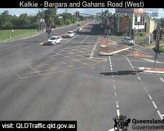
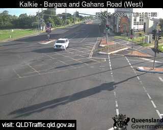
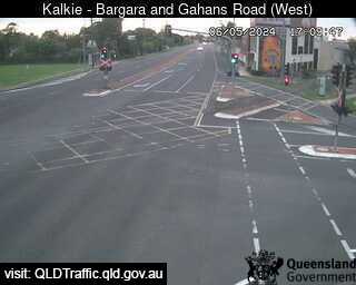
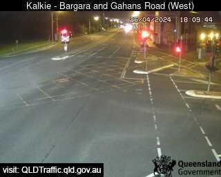
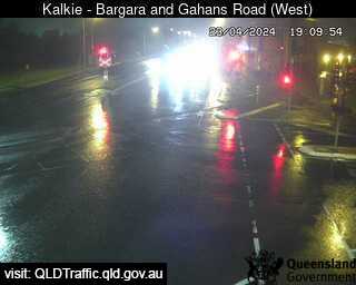
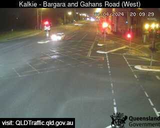
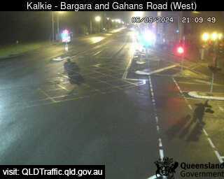
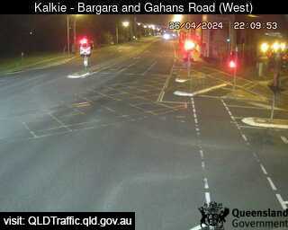
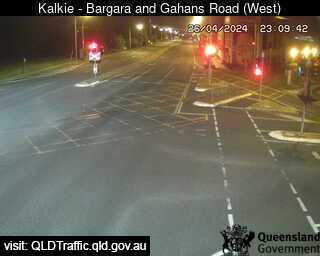
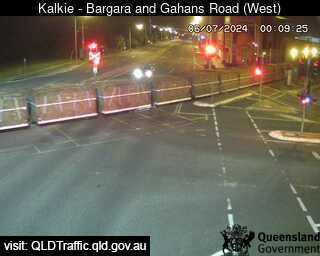
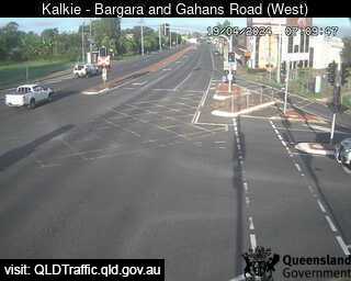
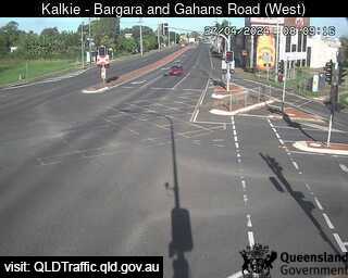
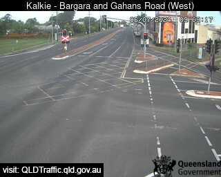
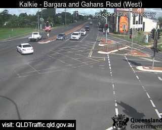
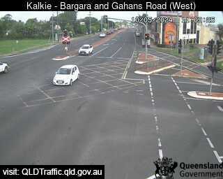
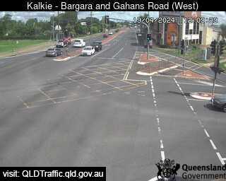
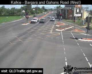
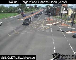
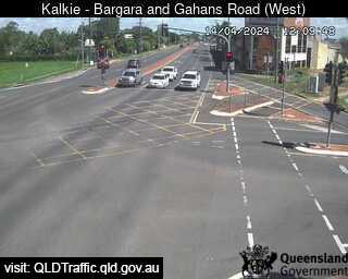
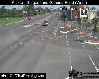
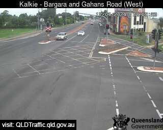
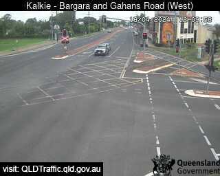
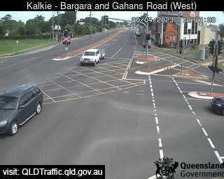
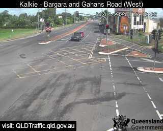
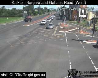
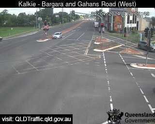
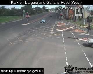
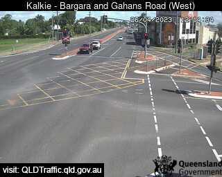
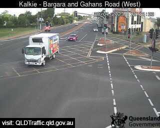
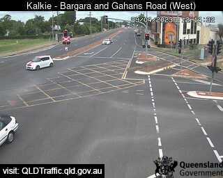
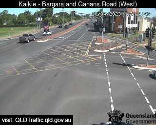
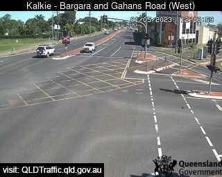
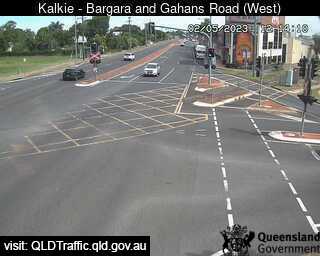
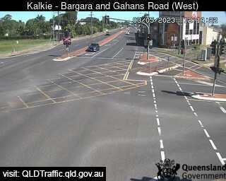
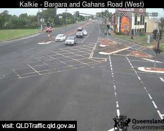
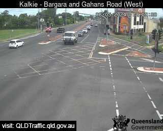
Kalkie, Australien - 67.2 km da Kawungan: Bargara Road and Gahans Road (looking west) - Una vista sul traffico.
Operatore: Queensland Government - Department of Transport and Main Roads
Mer. 13:10
Mer. 14:09
Mer. 15:09
Mer. 16:09
Mer. 17:09
Mer. 18:09
Mer. 19:09
Mer. 20:09
Mer. 21:09
Mer. 22:09
Mer. 23:09
Gio. 00:09
Gio. 01:09
Gio. 02:09
Gio. 03:09
Gio. 04:09
Gio. 05:09
Gio. 06:09
Gio. 07:09
Gio. 08:09
Gio. 09:09
Gio. 10:09
Gio. 11:09
Gio. 12:09
Mer. 10.4.
Gio. 11.4.
Ven. 12.4.
Sab. 13.4.
Dom. 14.4.
Lun. 15.4.
Mar. 16.4.
Mer. 17.4.
Gio. 18.4.
Ven. 19.4.
Sab. 20.4.
Dom. 21.4.
Lun. 22.4.
Mar. 23.4.
Mer. 24.4.
Gio. 25.4.
Ven. 26.4.
Sab. 27.4.
Dom. 28.4.
Lun. 29.4.
Mar. 30.4.
Mer. 1.5.
Gio. 2.5.
Ven. 3.5.
Sab. 4.5.
Dom. 5.5.
Lun. 6.5.
Mar. 7.5.
Mer. 8.5.
Gio. 9.5.
Operatore: Queensland Government - Department of Transport and Main Roads

Mer. 13:10
Mer. 14:09

Mer. 15:09
Mer. 16:09
Mer. 17:09
Mer. 18:09
Mer. 19:09
Mer. 20:09
Mer. 21:09
Mer. 22:09
Mer. 23:09
Gio. 00:09
Gio. 01:09

Gio. 02:09

Gio. 03:09
Gio. 04:09
Gio. 05:09
Gio. 06:09
Gio. 07:09
Gio. 08:09
Gio. 09:09
Gio. 10:09
Gio. 11:09
Gio. 12:09

Mer. 10.4.
Gio. 11.4.

Ven. 12.4.
Sab. 13.4.
Dom. 14.4.
Lun. 15.4.

Mar. 16.4.
Mer. 17.4.
Gio. 18.4.

Ven. 19.4.
Sab. 20.4.
Dom. 21.4.

Lun. 22.4.
Mar. 23.4.
Mer. 24.4.
Gio. 25.4.
Ven. 26.4.

Sab. 27.4.
Dom. 28.4.
Lun. 29.4.
Mar. 30.4.
Mer. 1.5.
Gio. 2.5.
Ven. 3.5.

Sab. 4.5.
Dom. 5.5.
Lun. 6.5.

Mar. 7.5.

Mer. 8.5.

Gio. 9.5.

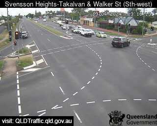
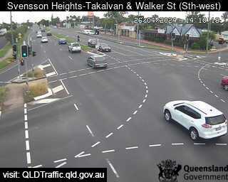
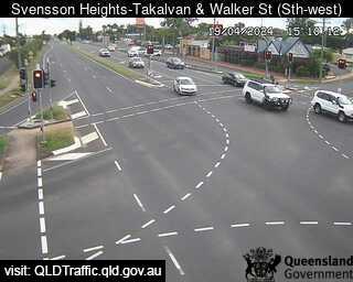
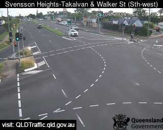
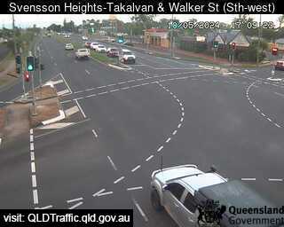
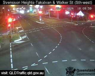
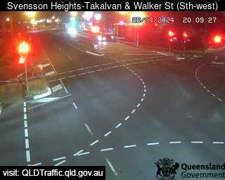
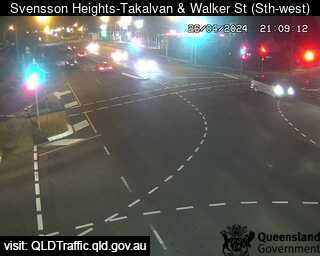
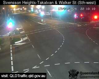
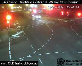
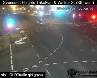
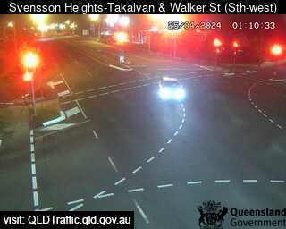
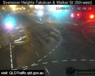
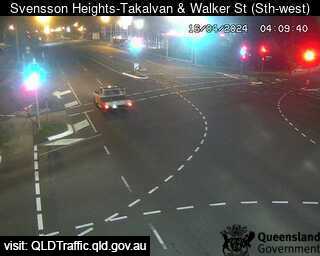
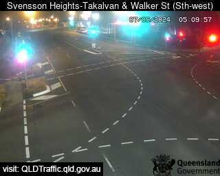
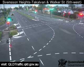
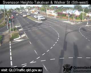
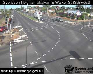
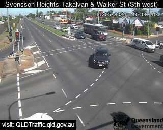
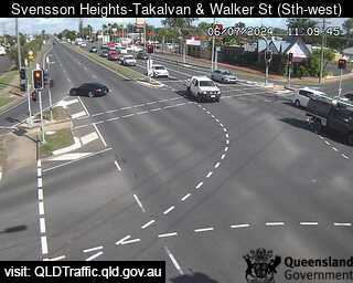
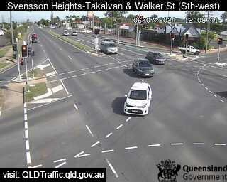
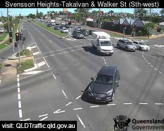
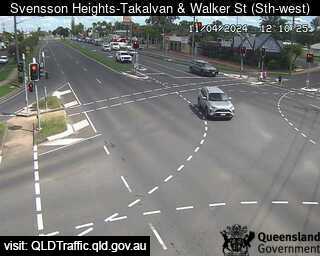
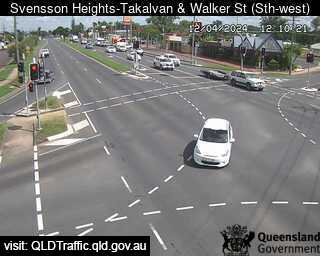
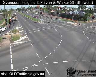
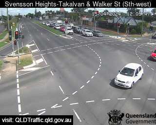
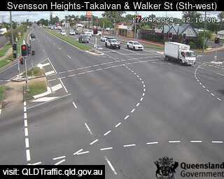
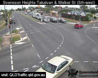
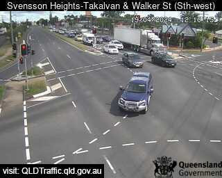
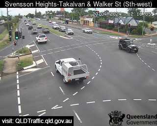
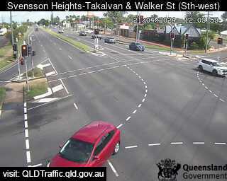
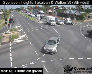
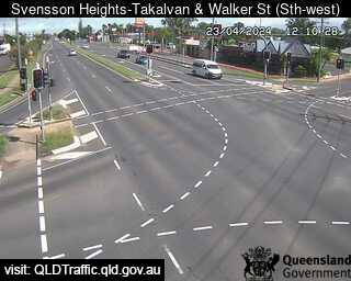
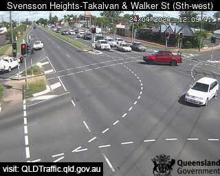
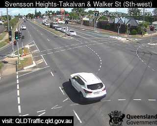
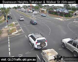
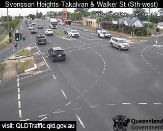
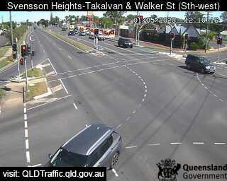
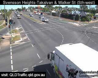
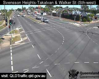
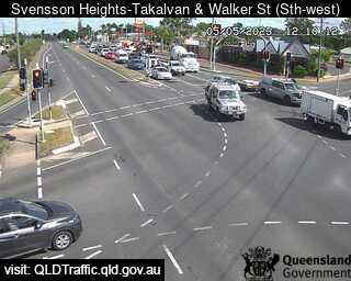
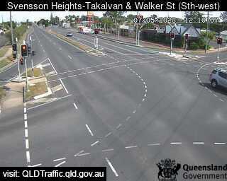
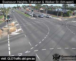
Bundaberg, Australien - 68.7 km da Kawungan: Takalvan Street and Walker Street (looking south-east) - Una vista sul traffico.
Operatore: Queensland Government - Department of Transport and Main Roads
Mer. 13:10
Mer. 14:09
Mer. 15:09
Mer. 16:09
Mer. 17:09
Mer. 18:09
Mer. 19:09
Mer. 20:09
Mer. 21:09
Mer. 22:09
Mer. 23:09
Gio. 00:09
Gio. 01:09
Gio. 02:09
Gio. 03:09
Gio. 04:09
Gio. 05:09
Gio. 06:09
Gio. 07:09
Gio. 08:09
Gio. 09:09
Gio. 10:09
Gio. 11:09
Gio. 12:09
Mer. 10.4.
Gio. 11.4.
Ven. 12.4.
Sab. 13.4.
Dom. 14.4.
Lun. 15.4.
Mar. 16.4.
Mer. 17.4.
Gio. 18.4.
Ven. 19.4.
Sab. 20.4.
Dom. 21.4.
Lun. 22.4.
Mar. 23.4.
Mer. 24.4.
Gio. 25.4.
Ven. 26.4.
Sab. 27.4.
Dom. 28.4.
Lun. 29.4.
Mar. 30.4.
Mer. 1.5.
Gio. 2.5.
Ven. 3.5.
Sab. 4.5.
Dom. 5.5.
Lun. 6.5.
Mar. 7.5.
Mer. 8.5.
Gio. 9.5.
Operatore: Queensland Government - Department of Transport and Main Roads
Mer. 13:10
Mer. 14:09
Mer. 15:09
Mer. 16:09
Mer. 17:09
Mer. 18:09

Mer. 19:09
Mer. 20:09
Mer. 21:09
Mer. 22:09
Mer. 23:09
Gio. 00:09
Gio. 01:09
Gio. 02:09

Gio. 03:09
Gio. 04:09
Gio. 05:09
Gio. 06:09
Gio. 07:09

Gio. 08:09
Gio. 09:09
Gio. 10:09
Gio. 11:09
Gio. 12:09
Mer. 10.4.
Gio. 11.4.
Ven. 12.4.
Sab. 13.4.

Dom. 14.4.
Lun. 15.4.

Mar. 16.4.
Mer. 17.4.
Gio. 18.4.
Ven. 19.4.
Sab. 20.4.
Dom. 21.4.
Lun. 22.4.
Mar. 23.4.
Mer. 24.4.

Gio. 25.4.

Ven. 26.4.
Sab. 27.4.
Dom. 28.4.
Lun. 29.4.

Mar. 30.4.
Mer. 1.5.

Gio. 2.5.
Ven. 3.5.
Sab. 4.5.
Dom. 5.5.

Lun. 6.5.
Mar. 7.5.
Mer. 8.5.

Gio. 9.5.

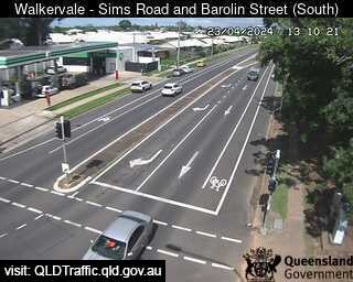
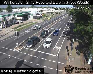
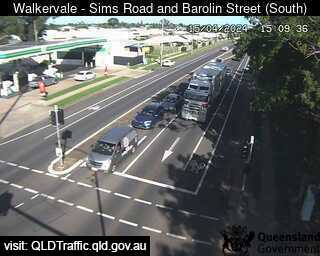
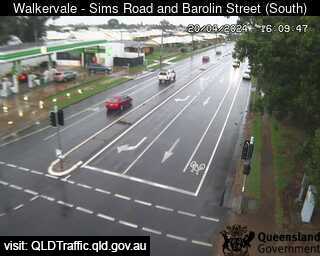
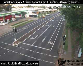
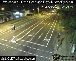
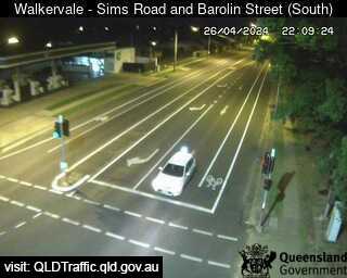
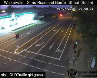
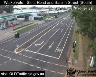
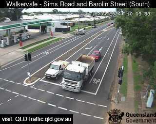
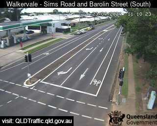
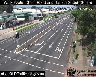
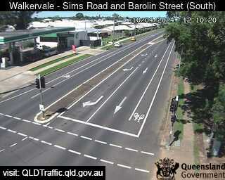
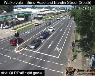
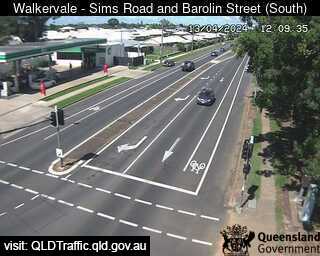
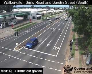
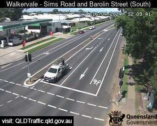
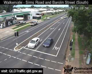
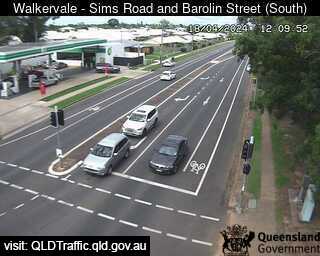
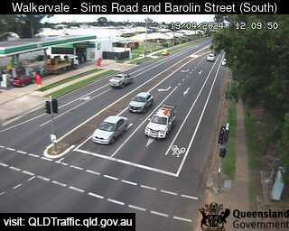
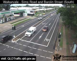
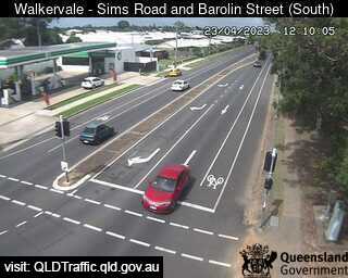
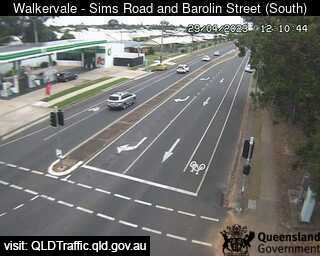
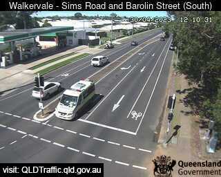
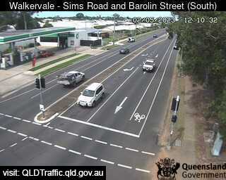
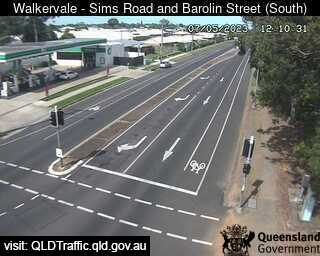
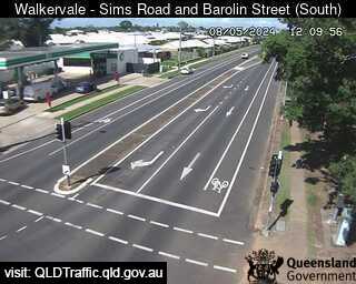
Bundaberg, Australien - 68.7 km da Kawungan: Sims Road and Barolin Street - Walkervale (looking south) - Una vista sul traffico.
Operatore: Queensland Government - Department of Transport and Main Roads
Mer. 13:10
Mer. 14:10
Mer. 15:09
Mer. 16:10
Mer. 17:10
Mer. 18:10
Mer. 19:10
Mer. 20:10
Mer. 21:09
Mer. 22:10
Mer. 23:10
Gio. 00:09
Gio. 01:10
Gio. 02:10
Gio. 03:10
Gio. 04:10
Gio. 05:10
Gio. 06:10
Gio. 07:10
Gio. 08:10
Gio. 09:10
Gio. 10:10
Gio. 11:10
Gio. 12:10
Mer. 10.4.
Gio. 11.4.
Ven. 12.4.
Sab. 13.4.
Dom. 14.4.
Lun. 15.4.
Mar. 16.4.
Mer. 17.4.
Gio. 18.4.
Ven. 19.4.
Sab. 20.4.
Dom. 21.4.
Lun. 22.4.
Mar. 23.4.
Mer. 24.4.
Gio. 25.4.
Ven. 26.4.
Sab. 27.4.
Dom. 28.4.
Lun. 29.4.
Mar. 30.4.
Mer. 1.5.
Gio. 2.5.
Ven. 3.5.
Sab. 4.5.
Dom. 5.5.
Lun. 6.5.
Mar. 7.5.
Mer. 8.5.
Gio. 9.5.
Operatore: Queensland Government - Department of Transport and Main Roads
Mer. 13:10
Mer. 14:10
Mer. 15:09
Mer. 16:10
Mer. 17:10

Mer. 18:10

Mer. 19:10
Mer. 20:10

Mer. 21:09
Mer. 22:10

Mer. 23:10
Gio. 00:09
Gio. 01:10

Gio. 02:10
Gio. 03:10

Gio. 04:10
Gio. 05:10
Gio. 06:10
Gio. 07:10

Gio. 08:10

Gio. 09:10
Gio. 10:10
Gio. 11:10
Gio. 12:10
Mer. 10.4.
Gio. 11.4.

Ven. 12.4.
Sab. 13.4.

Dom. 14.4.
Lun. 15.4.
Mar. 16.4.
Mer. 17.4.
Gio. 18.4.
Ven. 19.4.

Sab. 20.4.

Dom. 21.4.
Lun. 22.4.
Mar. 23.4.

Mer. 24.4.

Gio. 25.4.

Ven. 26.4.

Sab. 27.4.

Dom. 28.4.
Lun. 29.4.
Mar. 30.4.

Mer. 1.5.
Gio. 2.5.

Ven. 3.5.

Sab. 4.5.

Dom. 5.5.

Lun. 6.5.
Mar. 7.5.
Mer. 8.5.

Gio. 9.5.

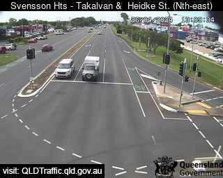
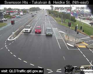
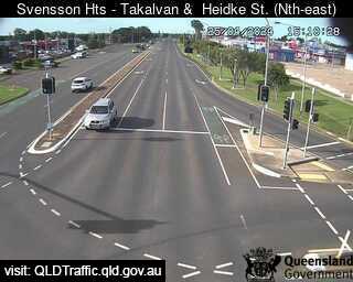
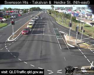
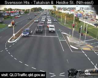
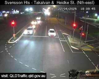
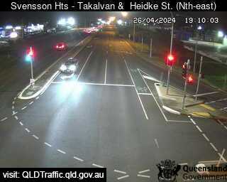
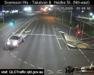
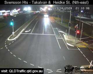
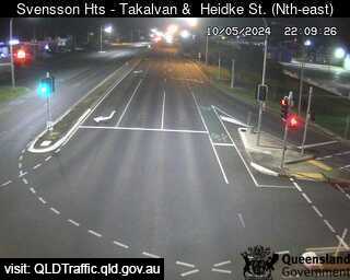
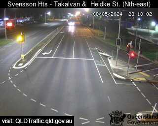
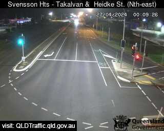
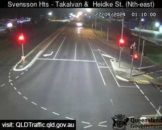
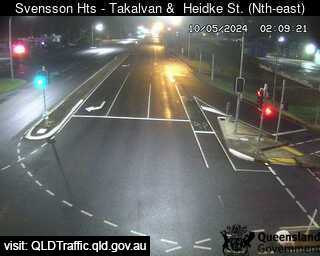
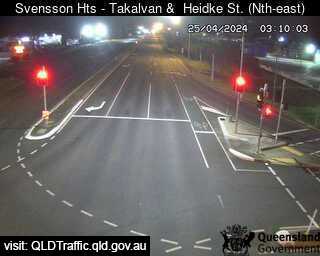
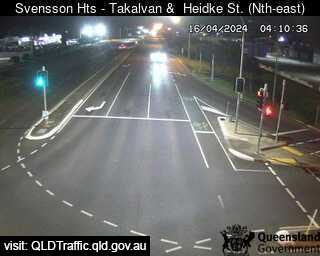
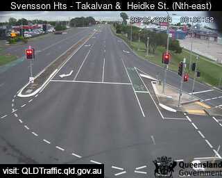
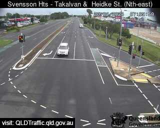
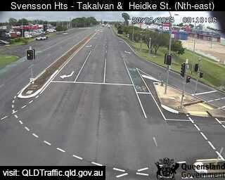
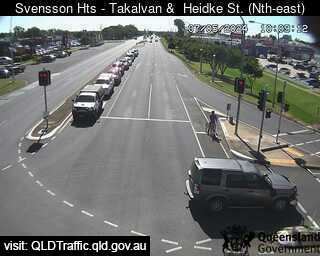
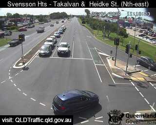
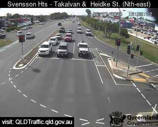
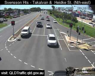
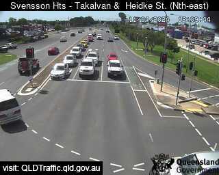
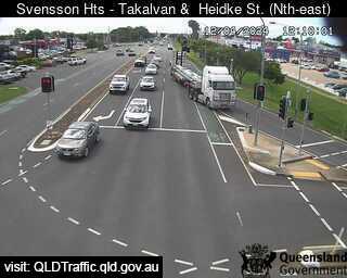
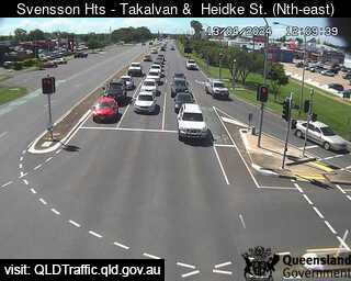
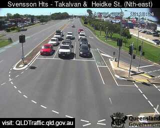
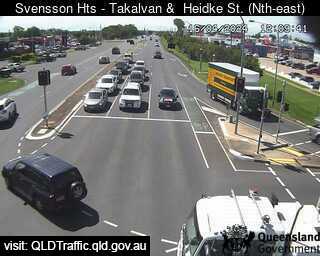
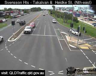
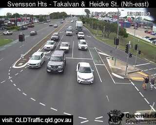
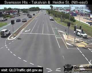
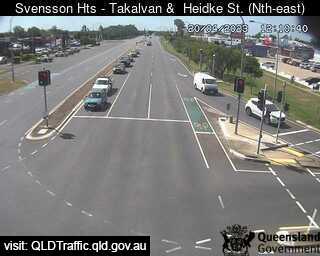
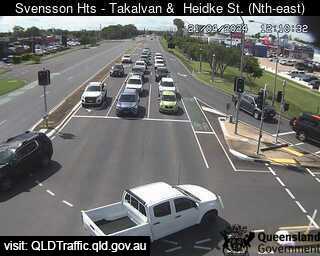
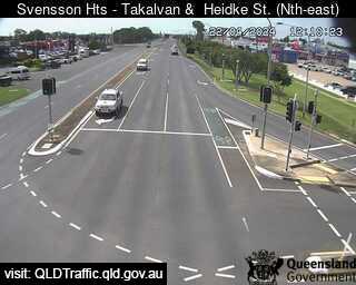
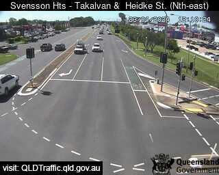
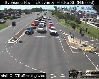
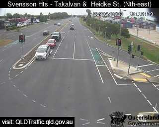
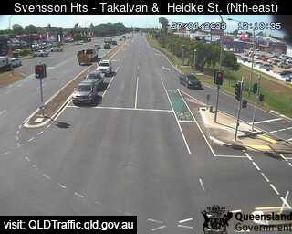
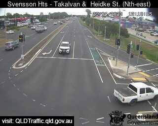
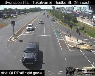
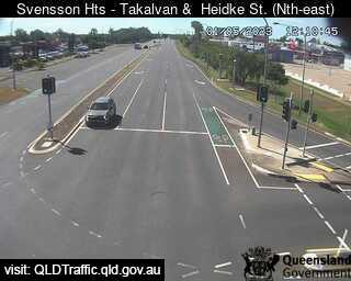
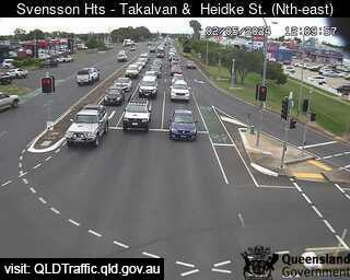
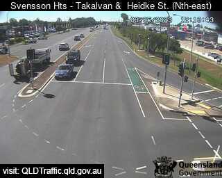
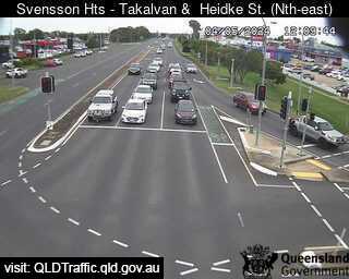
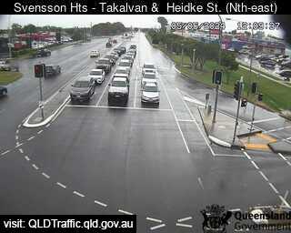
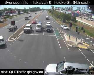
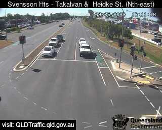
Bundaberg, Australien - 68.7 km da Kawungan: Takalvan Street and Heidke Street - Una vista sul traffico.
Operatore: Queensland Government - Department of Transport and Main Roads
Mer. 13:10
Mer. 14:10
Mer. 15:10
Mer. 16:10
Mer. 17:10
Mer. 18:10
Mer. 19:10
Mer. 20:10
Mer. 21:10
Mer. 22:10
Mer. 23:10
Gio. 00:10
Gio. 01:10
Gio. 02:10
Gio. 03:10
Gio. 04:10
Gio. 05:10
Gio. 06:10
Gio. 07:10
Gio. 08:10
Gio. 09:10
Gio. 10:10
Gio. 11:10
Gio. 12:10
Mer. 10.4.
Gio. 11.4.
Ven. 12.4.
Sab. 13.4.
Dom. 14.4.
Lun. 15.4.
Mar. 16.4.
Mer. 17.4.
Gio. 18.4.
Ven. 19.4.
Sab. 20.4.
Dom. 21.4.
Lun. 22.4.
Mar. 23.4.
Mer. 24.4.
Gio. 25.4.
Ven. 26.4.
Sab. 27.4.
Dom. 28.4.
Lun. 29.4.
Mar. 30.4.
Mer. 1.5.
Gio. 2.5.
Ven. 3.5.
Sab. 4.5.
Dom. 5.5.
Lun. 6.5.
Mar. 7.5.
Mer. 8.5.
Gio. 9.5.
Operatore: Queensland Government - Department of Transport and Main Roads
Mer. 13:10
Mer. 14:10
Mer. 15:10
Mer. 16:10
Mer. 17:10
Mer. 18:10
Mer. 19:10
Mer. 20:10
Mer. 21:10
Mer. 22:10
Mer. 23:10
Gio. 00:10
Gio. 01:10
Gio. 02:10
Gio. 03:10
Gio. 04:10

Gio. 05:10
Gio. 06:10
Gio. 07:10
Gio. 08:10

Gio. 09:10
Gio. 10:10
Gio. 11:10
Gio. 12:10
Mer. 10.4.
Gio. 11.4.
Ven. 12.4.
Sab. 13.4.
Dom. 14.4.

Lun. 15.4.
Mar. 16.4.
Mer. 17.4.
Gio. 18.4.
Ven. 19.4.
Sab. 20.4.
Dom. 21.4.
Lun. 22.4.
Mar. 23.4.
Mer. 24.4.
Gio. 25.4.

Ven. 26.4.
Sab. 27.4.

Dom. 28.4.
Lun. 29.4.
Mar. 30.4.
Mer. 1.5.
Gio. 2.5.
Ven. 3.5.
Sab. 4.5.
Dom. 5.5.
Lun. 6.5.

Mar. 7.5.

Mer. 8.5.
Gio. 9.5.

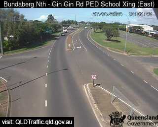
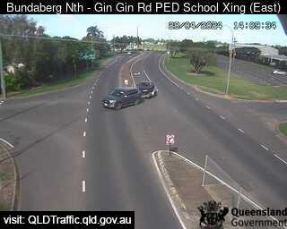
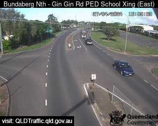
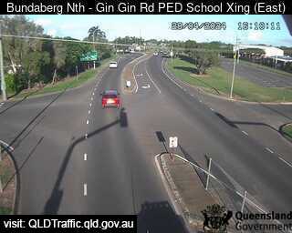
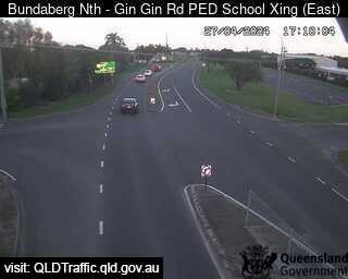
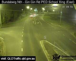
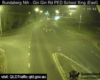
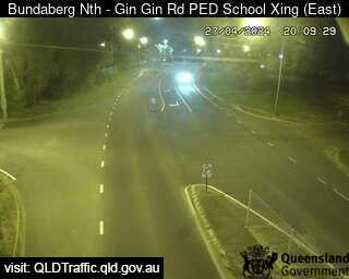
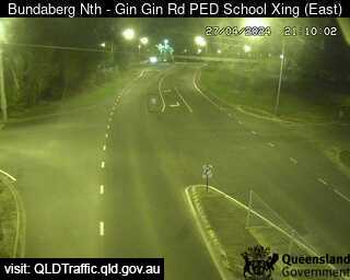
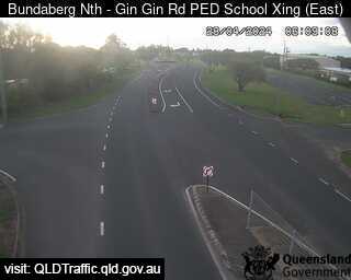
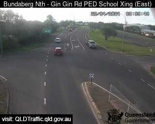
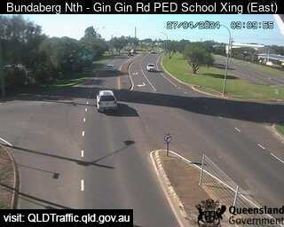
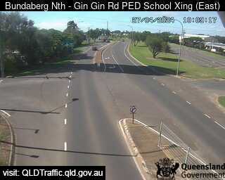
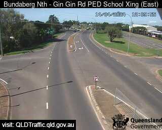
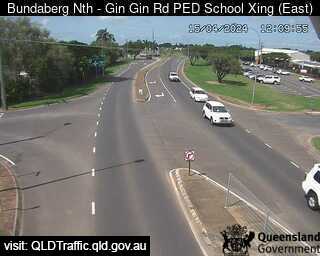
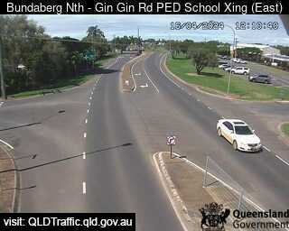
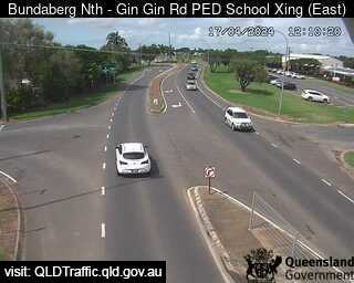
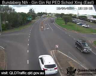
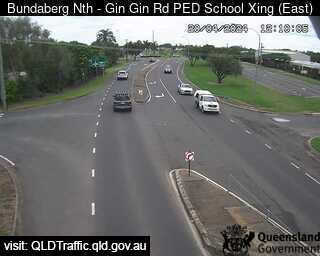
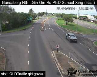
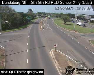
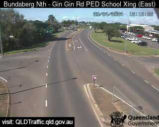
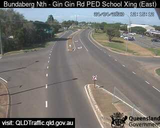
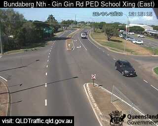
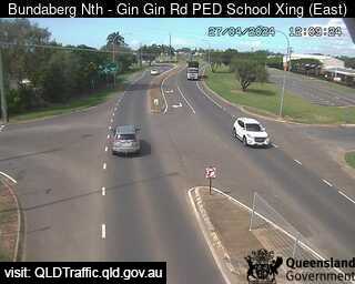
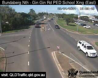
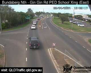
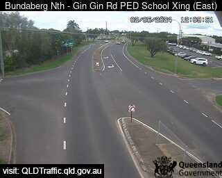
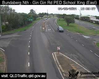
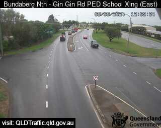
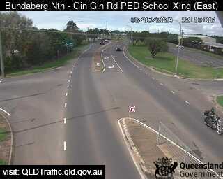
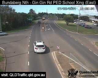
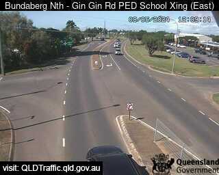
Bundaberg North, Australien - 69.6 km da Kawungan: North School Pedestrian Crossing (looking east) - Una vista sul traffico.
Operatore: Queensland Government - Department of Transport and Main Roads
Mer. 13:10
Mer. 14:10
Mer. 15:10
Mer. 16:10
Mer. 17:10
Mer. 18:10
Mer. 19:10
Mer. 20:10
Mer. 21:10
Mer. 22:10
Mer. 23:10
Gio. 00:10
Gio. 01:10
Gio. 02:10
Gio. 03:10
Gio. 04:10
Gio. 05:10
Gio. 06:10
Gio. 07:10
Gio. 08:10
Gio. 09:10
Gio. 10:10
Gio. 11:10
Gio. 12:10
Mer. 10.4.
Gio. 11.4.
Ven. 12.4.
Sab. 13.4.
Dom. 14.4.
Lun. 15.4.
Mar. 16.4.
Mer. 17.4.
Gio. 18.4.
Ven. 19.4.
Sab. 20.4.
Dom. 21.4.
Lun. 22.4.
Mar. 23.4.
Mer. 24.4.
Gio. 25.4.
Ven. 26.4.
Sab. 27.4.
Dom. 28.4.
Lun. 29.4.
Mar. 30.4.
Mer. 1.5.
Gio. 2.5.
Ven. 3.5.
Sab. 4.5.
Dom. 5.5.
Lun. 6.5.
Mar. 7.5.
Mer. 8.5.
Gio. 9.5.
Operatore: Queensland Government - Department of Transport and Main Roads
Mer. 13:10
Mer. 14:10
Mer. 15:10
Mer. 16:10
Mer. 17:10
Mer. 18:10
Mer. 19:10
Mer. 20:10
Mer. 21:10
Mer. 22:10
Mer. 23:10
Gio. 00:10
Gio. 01:10
Gio. 02:10
Gio. 03:10
Gio. 04:10
Gio. 05:10
Gio. 06:10

Gio. 07:10
Gio. 08:10
Gio. 09:10
Gio. 10:10
Gio. 11:10
Gio. 12:10
Mer. 10.4.
Gio. 11.4.

Ven. 12.4.

Sab. 13.4.
Dom. 14.4.
Lun. 15.4.
Mar. 16.4.
Mer. 17.4.

Gio. 18.4.
Ven. 19.4.
Sab. 20.4.
Dom. 21.4.
Lun. 22.4.
Mar. 23.4.
Mer. 24.4.

Gio. 25.4.
Ven. 26.4.
Sab. 27.4.

Dom. 28.4.
Lun. 29.4.
Mar. 30.4.

Mer. 1.5.
Gio. 2.5.

Ven. 3.5.
Sab. 4.5.
Dom. 5.5.
Lun. 6.5.
Mar. 7.5.
Mer. 8.5.
Gio. 9.5.

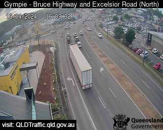
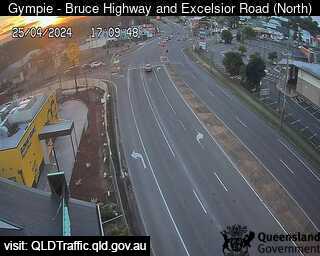
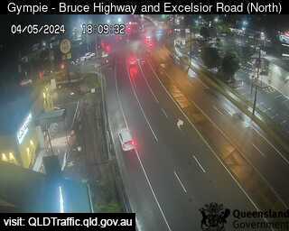
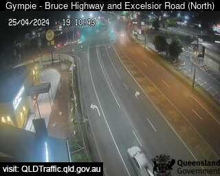
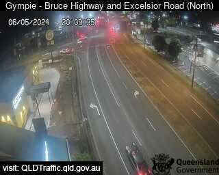
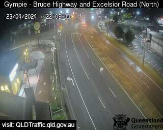
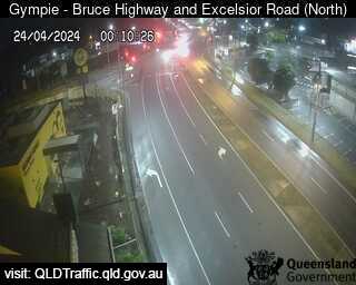
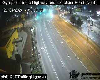
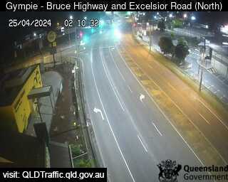
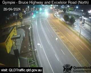
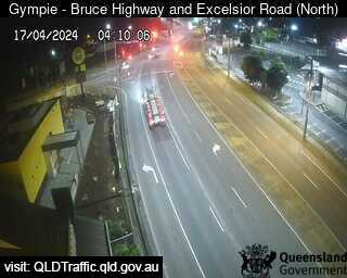
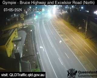
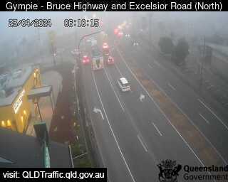
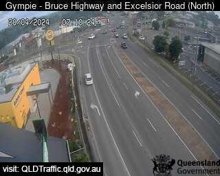
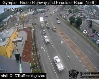
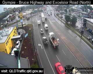
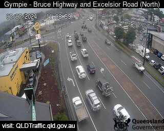
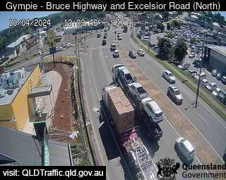
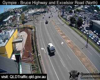
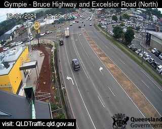
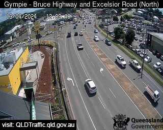
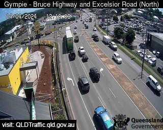
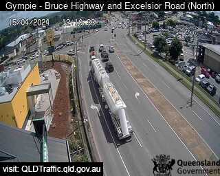
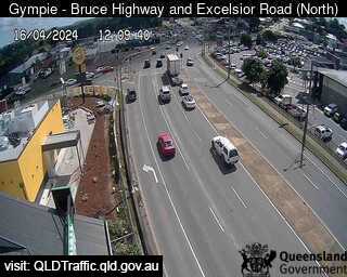
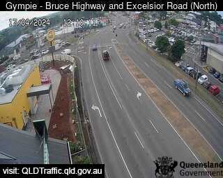
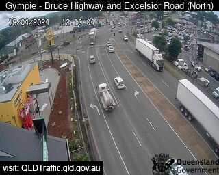
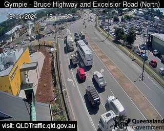
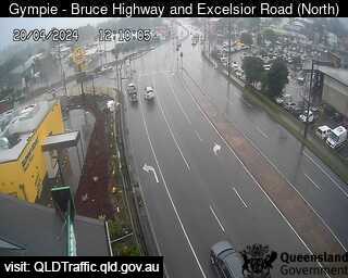
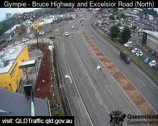
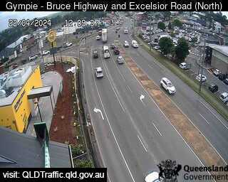
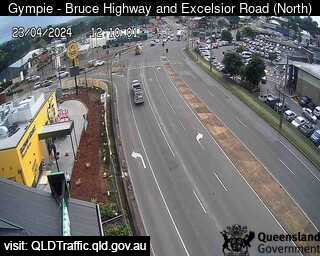
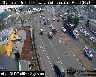
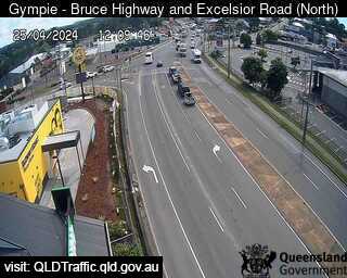
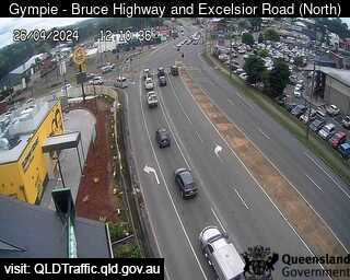
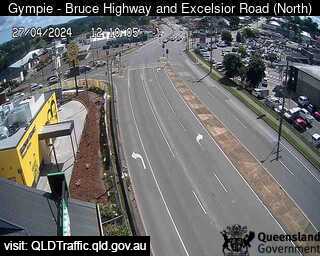
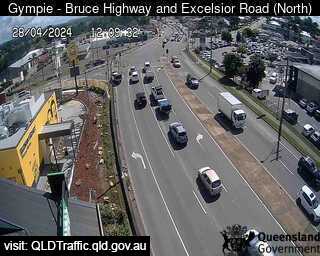
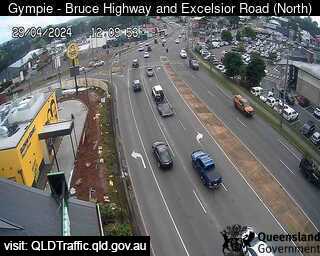
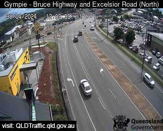
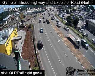
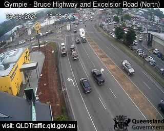
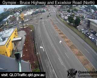
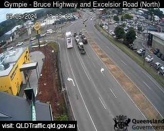
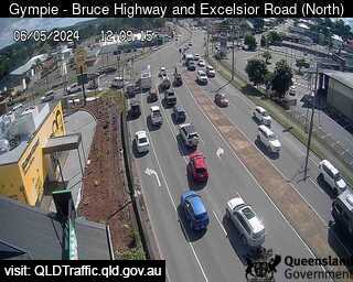
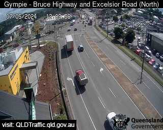
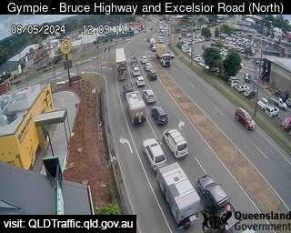
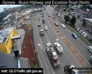
Gympie, Australien - 100.4 km da Kawungan: Bruce Highway, Excelsior Road Intersection (looking North) - Una vista sul traffico.
Operatore: Queensland Government - Department of Transport and Main Roads
Mer. 13:10
Mer. 14:10
Mer. 15:10
Mer. 16:10
Mer. 17:10
Mer. 18:10
Mer. 19:10
Mer. 20:10
Mer. 21:10
Mer. 22:10
Mer. 23:10
Gio. 00:10
Gio. 01:10
Gio. 02:10
Gio. 03:10
Gio. 04:10
Gio. 05:10
Gio. 06:10
Gio. 07:10
Gio. 08:10
Gio. 09:10
Gio. 10:10
Gio. 11:10
Gio. 12:10
Mer. 10.4.
Gio. 11.4.
Ven. 12.4.
Sab. 13.4.
Dom. 14.4.
Lun. 15.4.
Mar. 16.4.
Mer. 17.4.
Gio. 18.4.
Ven. 19.4.
Sab. 20.4.
Dom. 21.4.
Lun. 22.4.
Mar. 23.4.
Mer. 24.4.
Gio. 25.4.
Ven. 26.4.
Sab. 27.4.
Dom. 28.4.
Lun. 29.4.
Mar. 30.4.
Mer. 1.5.
Gio. 2.5.
Ven. 3.5.
Sab. 4.5.
Dom. 5.5.
Lun. 6.5.
Mar. 7.5.
Mer. 8.5.
Gio. 9.5.
Operatore: Queensland Government - Department of Transport and Main Roads
Mer. 13:10
Mer. 14:10
Mer. 15:10
Mer. 16:10
Mer. 17:10
Mer. 18:10
Mer. 19:10
Mer. 20:10

Mer. 21:10
Mer. 22:10

Mer. 23:10
Gio. 00:10
Gio. 01:10
Gio. 02:10
Gio. 03:10
Gio. 04:10
Gio. 05:10
Gio. 06:10
Gio. 07:10

Gio. 08:10
Gio. 09:10
Gio. 10:10
Gio. 11:10

Gio. 12:10
Mer. 10.4.
Gio. 11.4.
Ven. 12.4.
Sab. 13.4.
Dom. 14.4.
Lun. 15.4.
Mar. 16.4.
Mer. 17.4.
Gio. 18.4.
Ven. 19.4.
Sab. 20.4.
Dom. 21.4.
Lun. 22.4.
Mar. 23.4.
Mer. 24.4.
Gio. 25.4.
Ven. 26.4.
Sab. 27.4.
Dom. 28.4.
Lun. 29.4.
Mar. 30.4.
Mer. 1.5.
Gio. 2.5.

Ven. 3.5.
Sab. 4.5.
Dom. 5.5.
Lun. 6.5.
Mar. 7.5.
Mer. 8.5.
Gio. 9.5.

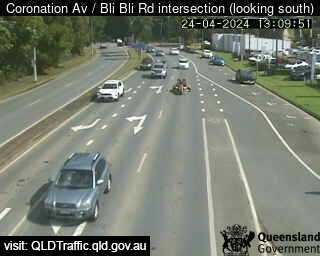
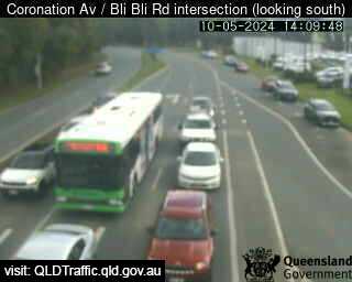
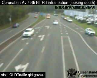
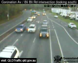
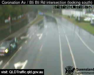
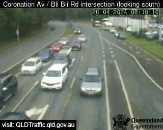
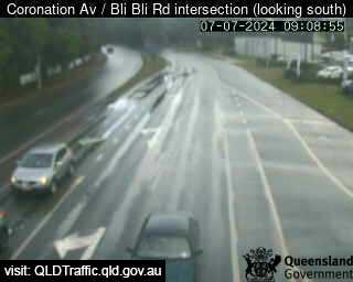
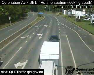
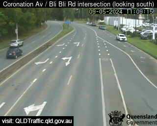
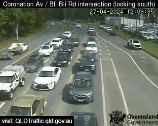
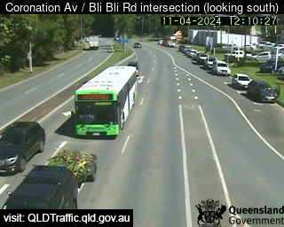
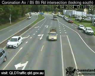
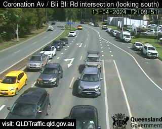
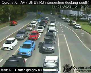
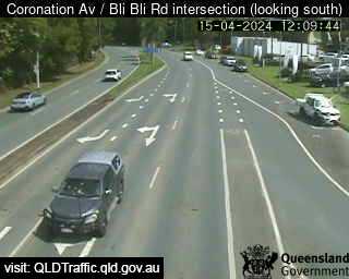
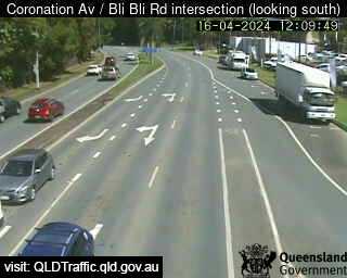
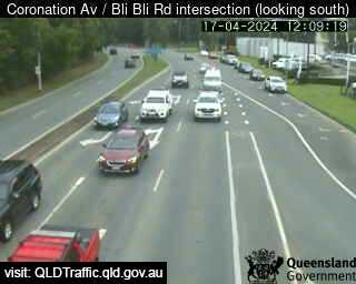
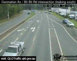
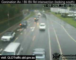
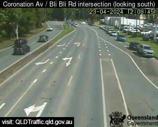
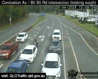
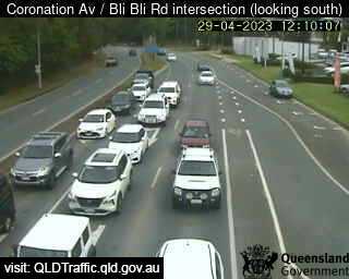
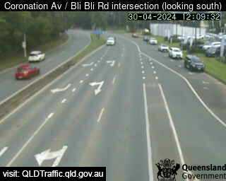
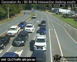
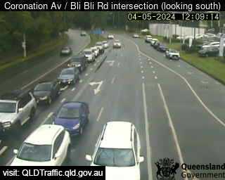
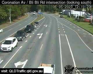
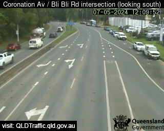
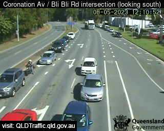
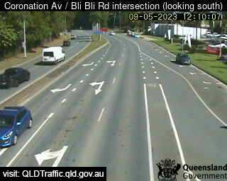
Nambour, Australien - 148 km da Kawungan: Coronation Avenue / Bli Bli Road intersection (South) - Una vista sul traffico.
Operatore: Queensland Government - Department of Transport and Main Roads
Mer. 13:09
Mer. 14:09
Mer. 15:09
Mer. 16:09
Mer. 17:09
Mer. 18:09
Mer. 19:09
Mer. 20:09
Mer. 21:09
Mer. 22:09
Mer. 23:09
Gio. 00:09
Gio. 01:09
Gio. 02:09
Gio. 03:09
Gio. 04:09
Gio. 05:09
Gio. 06:09
Gio. 07:09
Gio. 08:09
Gio. 09:09
Gio. 10:09
Gio. 11:09
Gio. 12:09
Mer. 10.4.
Gio. 11.4.
Ven. 12.4.
Sab. 13.4.
Dom. 14.4.
Lun. 15.4.
Mar. 16.4.
Mer. 17.4.
Gio. 18.4.
Ven. 19.4.
Sab. 20.4.
Dom. 21.4.
Lun. 22.4.
Mar. 23.4.
Mer. 24.4.
Gio. 25.4.
Ven. 26.4.
Sab. 27.4.
Dom. 28.4.
Lun. 29.4.
Mar. 30.4.
Mer. 1.5.
Gio. 2.5.
Ven. 3.5.
Sab. 4.5.
Dom. 5.5.
Lun. 6.5.
Mar. 7.5.
Mer. 8.5.
Gio. 9.5.
Operatore: Queensland Government - Department of Transport and Main Roads
Mer. 13:09
Mer. 14:09

Mer. 15:09
Mer. 16:09
Mer. 17:09

Mer. 18:09
Mer. 19:09
Mer. 20:09
Mer. 21:09
Mer. 22:09
Mer. 23:09
Gio. 00:09
Gio. 01:09

Gio. 02:09
Gio. 03:09

Gio. 04:09
Gio. 05:09
Gio. 06:09
Gio. 07:09
Gio. 08:09
Gio. 09:09
Gio. 10:09
Gio. 11:09
Gio. 12:09

Mer. 10.4.
Gio. 11.4.
Ven. 12.4.
Sab. 13.4.
Dom. 14.4.
Lun. 15.4.
Mar. 16.4.
Mer. 17.4.
Gio. 18.4.

Ven. 19.4.

Sab. 20.4.
Dom. 21.4.

Lun. 22.4.
Mar. 23.4.
Mer. 24.4.
Gio. 25.4.
Ven. 26.4.
Sab. 27.4.
Dom. 28.4.
Lun. 29.4.
Mar. 30.4.
Mer. 1.5.

Gio. 2.5.

Ven. 3.5.
Sab. 4.5.

Dom. 5.5.
Lun. 6.5.
Mar. 7.5.
Mer. 8.5.
Gio. 9.5.

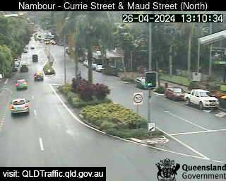
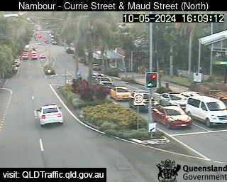
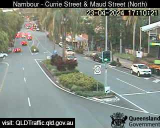
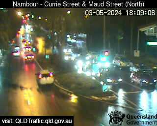
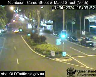
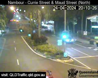
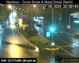
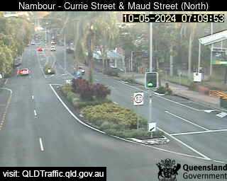
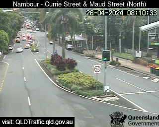
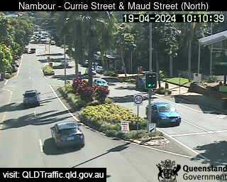
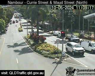
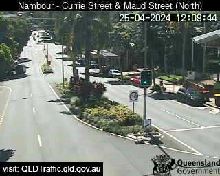
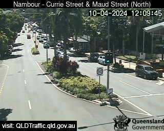
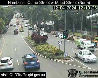
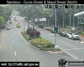
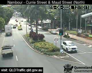
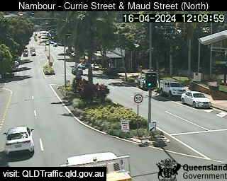
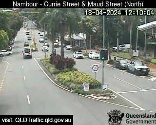
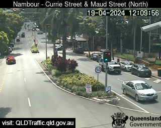
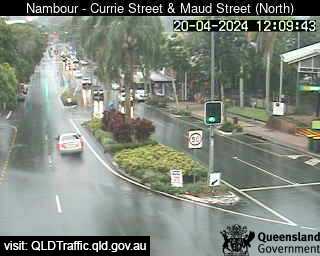
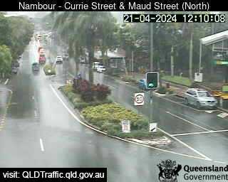
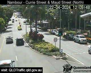
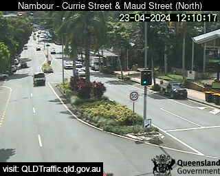
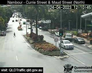
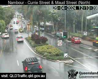
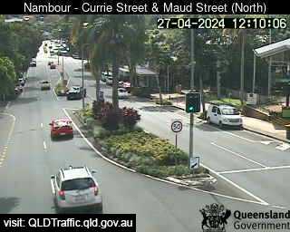
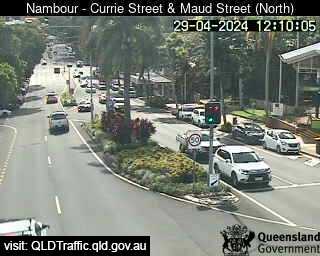
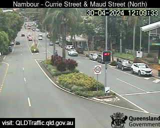
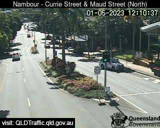
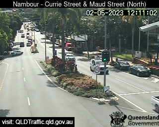
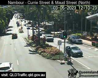
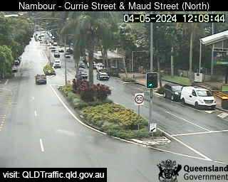
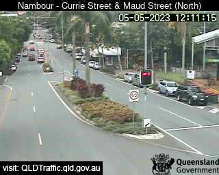
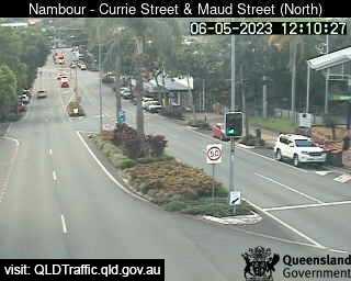
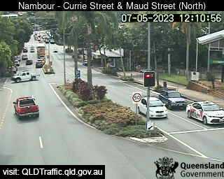
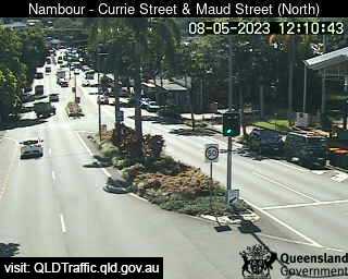
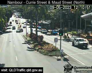
Nambour, Australien - 148 km da Kawungan: Currie Street and Maud Street (looking north) - Una vista sul traffico.
Operatore: Queensland Government - Department of Transport and Main Roads
Mer. 13:10
Mer. 14:10
Mer. 15:10
Mer. 16:10
Mer. 17:10
Mer. 18:10
Mer. 19:10
Mer. 20:10
Mer. 21:10
Mer. 22:10
Mer. 23:10
Gio. 00:10
Gio. 01:10
Gio. 02:10
Gio. 03:10
Gio. 04:10
Gio. 05:10
Gio. 06:10
Gio. 07:10
Gio. 08:10
Gio. 09:10
Gio. 10:10
Gio. 11:10
Gio. 12:10
Mer. 10.4.
Gio. 11.4.
Ven. 12.4.
Sab. 13.4.
Dom. 14.4.
Lun. 15.4.
Mar. 16.4.
Mer. 17.4.
Gio. 18.4.
Ven. 19.4.
Sab. 20.4.
Dom. 21.4.
Lun. 22.4.
Mar. 23.4.
Mer. 24.4.
Gio. 25.4.
Ven. 26.4.
Sab. 27.4.
Dom. 28.4.
Lun. 29.4.
Mar. 30.4.
Mer. 1.5.
Gio. 2.5.
Ven. 3.5.
Sab. 4.5.
Dom. 5.5.
Lun. 6.5.
Mar. 7.5.
Mer. 8.5.
Gio. 9.5.
Operatore: Queensland Government - Department of Transport and Main Roads
Mer. 13:10

Mer. 14:10

Mer. 15:10
Mer. 16:10
Mer. 17:10
Mer. 18:10
Mer. 19:10
Mer. 20:10

Mer. 21:10
Mer. 22:10

Mer. 23:10

Gio. 00:10
Gio. 01:10
Gio. 02:10
Gio. 03:10
Gio. 04:10

Gio. 05:10

Gio. 06:10
Gio. 07:10
Gio. 08:10

Gio. 09:10
Gio. 10:10
Gio. 11:10
Gio. 12:10
Mer. 10.4.

Gio. 11.4.
Ven. 12.4.

Sab. 13.4.
Dom. 14.4.
Lun. 15.4.
Mar. 16.4.

Mer. 17.4.
Gio. 18.4.
Ven. 19.4.
Sab. 20.4.
Dom. 21.4.
Lun. 22.4.
Mar. 23.4.
Mer. 24.4.

Gio. 25.4.
Ven. 26.4.
Sab. 27.4.

Dom. 28.4.
Lun. 29.4.
Mar. 30.4.
Mer. 1.5.
Gio. 2.5.
Ven. 3.5.
Sab. 4.5.
Dom. 5.5.
Lun. 6.5.
Mar. 7.5.
Mer. 8.5.
Gio. 9.5.
Alcuni altri luoghi in questo paese: Kauthi - Keebah - Keerong - Keilor - Keiraville - Keith Hall - Kellevie - Kellys Creek - Kelmscott - Kelsey Creek