Webcam nella Regione di Peacebourne, Australia
La lista delle webcam vicino a Peacebourne, Australia:

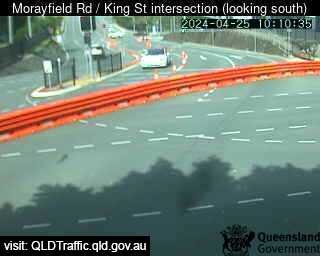
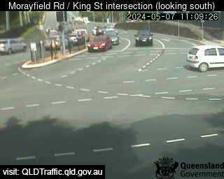
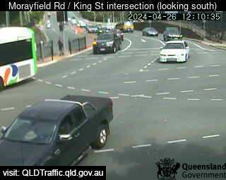
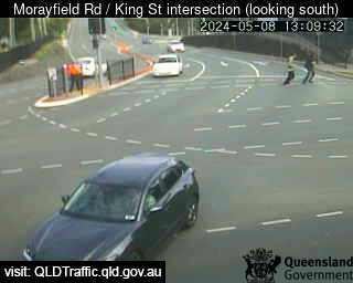
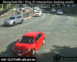
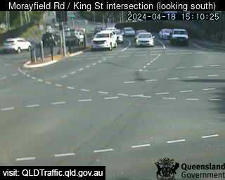
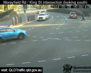
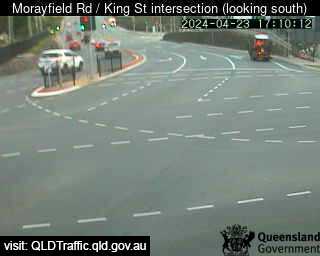
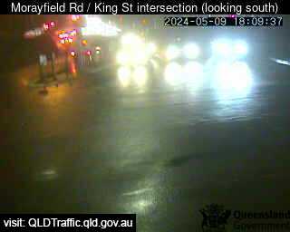
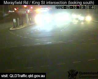
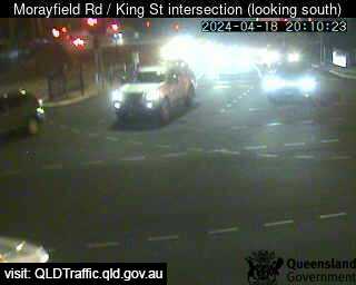
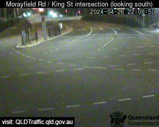
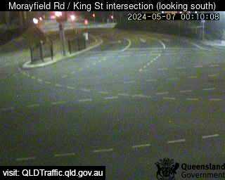
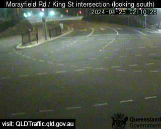
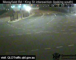
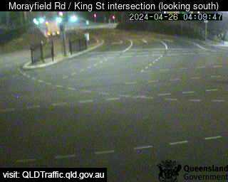
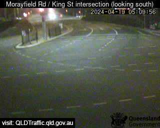
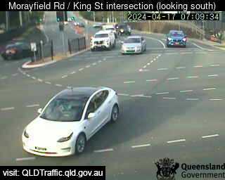
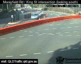
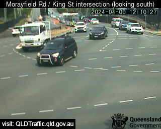
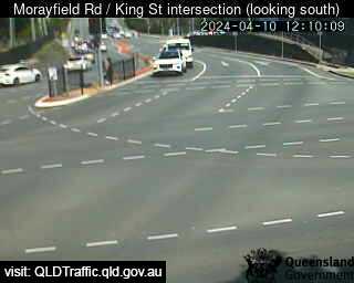
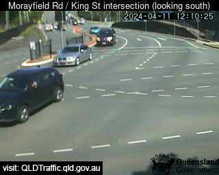
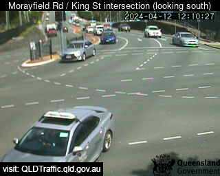
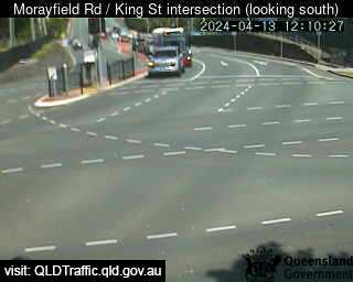
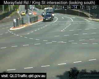
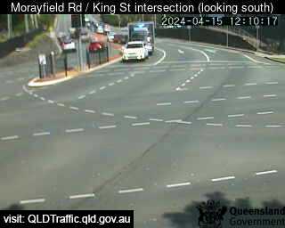
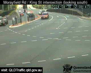
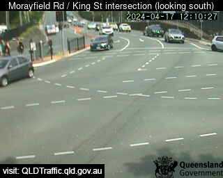
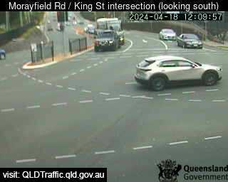
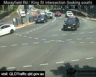
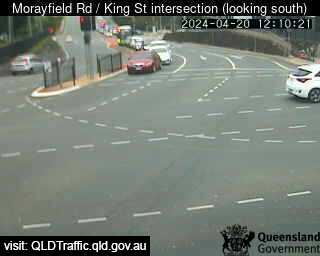
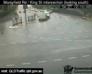
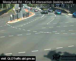
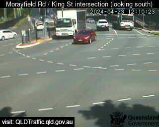
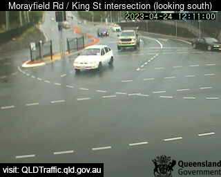
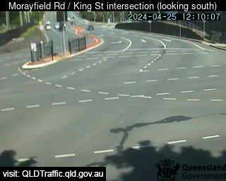
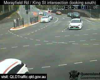
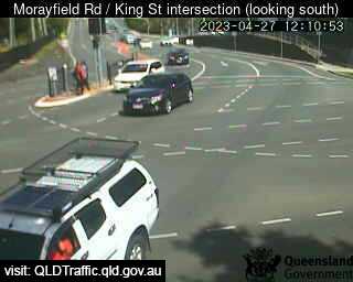
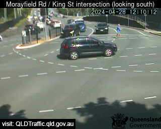
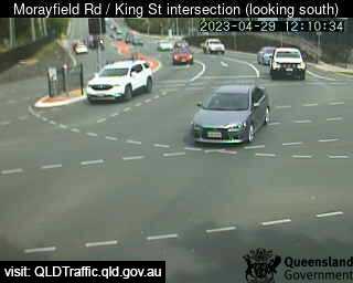
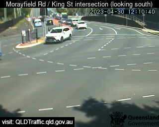
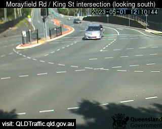
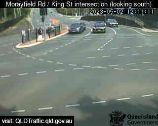
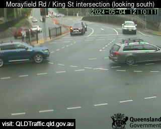
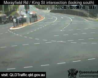
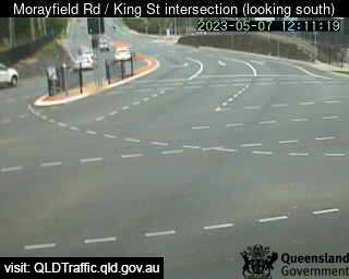
Caboolture, Australien - 26.2 km da Peacebourne: Morayfield Road / King Street intersection (East) - Una vista sul traffico.
Operatore: Queensland Government - Department of Transport and Main Roads

Mer. 10:10
Mer. 11:10
Mer. 12:10
Mer. 13:10
Mer. 14:10
Mer. 15:10
Mer. 16:10
Mer. 17:10
Mer. 18:10
Mer. 19:10
Mer. 20:10
Mer. 21:10
Mer. 22:10
Mer. 23:10
Gio. 00:10
Gio. 01:10
Gio. 02:10
Gio. 03:10
Gio. 04:10
Gio. 05:10
Gio. 06:10
Gio. 07:10
Gio. 08:10
Gio. 09:10
Mar. 9.4.
Mer. 10.4.
Gio. 11.4.
Ven. 12.4.
Sab. 13.4.
Dom. 14.4.
Lun. 15.4.
Mar. 16.4.
Mer. 17.4.
Gio. 18.4.
Ven. 19.4.
Sab. 20.4.
Dom. 21.4.
Lun. 22.4.
Mar. 23.4.
Mer. 24.4.
Gio. 25.4.
Ven. 26.4.
Sab. 27.4.
Dom. 28.4.
Lun. 29.4.
Mar. 30.4.
Mer. 1.5.
Gio. 2.5.
Ven. 3.5.
Sab. 4.5.
Dom. 5.5.
Lun. 6.5.
Mar. 7.5.
Mer. 8.5.
Operatore: Queensland Government - Department of Transport and Main Roads
Mer. 10:10
Mer. 11:10
Mer. 12:10
Mer. 13:10
Mer. 14:10
Mer. 15:10
Mer. 16:10
Mer. 17:10
Mer. 18:10
Mer. 19:10
Mer. 20:10

Mer. 21:10
Mer. 22:10

Mer. 23:10
Gio. 00:10

Gio. 01:10
Gio. 02:10
Gio. 03:10
Gio. 04:10
Gio. 05:10

Gio. 06:10
Gio. 07:10
Gio. 08:10

Gio. 09:10
Mar. 9.4.
Mer. 10.4.
Gio. 11.4.
Ven. 12.4.
Sab. 13.4.
Dom. 14.4.
Lun. 15.4.
Mar. 16.4.
Mer. 17.4.
Gio. 18.4.
Ven. 19.4.
Sab. 20.4.
Dom. 21.4.
Lun. 22.4.
Mar. 23.4.
Mer. 24.4.
Gio. 25.4.
Ven. 26.4.
Sab. 27.4.
Dom. 28.4.
Lun. 29.4.
Mar. 30.4.
Mer. 1.5.
Gio. 2.5.

Ven. 3.5.
Sab. 4.5.
Dom. 5.5.

Lun. 6.5.
Mar. 7.5.

Mer. 8.5.

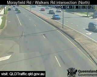
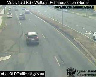
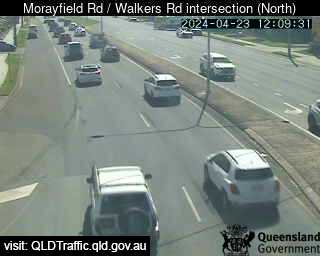
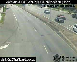
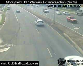
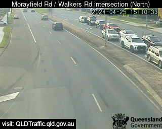
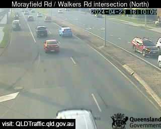
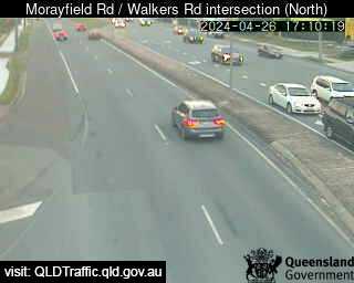
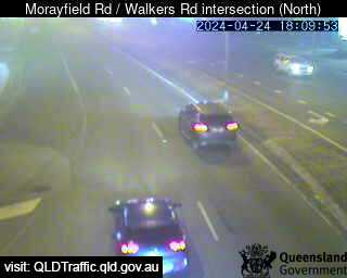
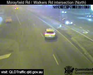
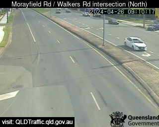
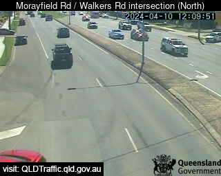
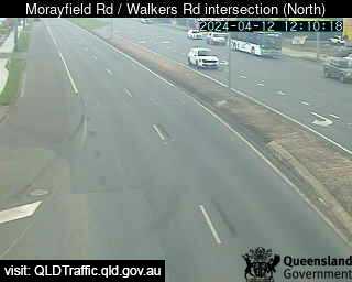
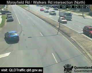
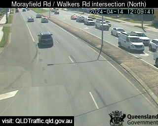
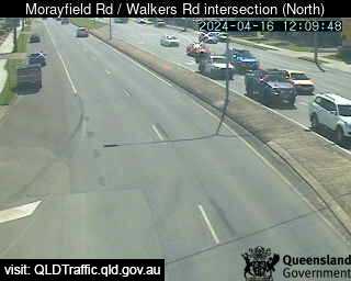
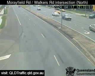
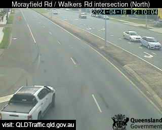
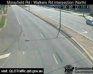
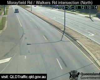
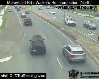
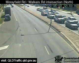
Morayfield, Australien - 28.4 km da Peacebourne: Morayfield Road / Walkers Road intersection (South) - Una vista sul traffico.
Operatore: Queensland Government - Department of Transport and Main Roads
Mer. 10:09
Mer. 11:09
Mer. 12:09
Mer. 13:10
Mer. 14:09
Mer. 15:09
Mer. 16:09
Mer. 17:09
Mer. 18:09
Mer. 19:09
Mer. 20:09
Mer. 21:09
Mer. 22:09
Mer. 23:09
Gio. 00:09
Gio. 01:09
Gio. 02:09
Gio. 03:09
Gio. 04:09
Gio. 05:09
Gio. 06:09
Gio. 07:09
Gio. 08:09
Gio. 09:09
Mar. 9.4.
Mer. 10.4.
Gio. 11.4.
Ven. 12.4.
Sab. 13.4.
Dom. 14.4.
Lun. 15.4.
Mar. 16.4.
Mer. 17.4.
Gio. 18.4.
Ven. 19.4.
Sab. 20.4.
Dom. 21.4.
Lun. 22.4.
Mar. 23.4.
Mer. 24.4.
Gio. 25.4.
Ven. 26.4.
Sab. 27.4.
Dom. 28.4.
Lun. 29.4.
Mar. 30.4.
Mer. 1.5.
Gio. 2.5.
Ven. 3.5.
Sab. 4.5.
Dom. 5.5.
Lun. 6.5.
Mar. 7.5.
Mer. 8.5.
Operatore: Queensland Government - Department of Transport and Main Roads
Mer. 10:09
Mer. 11:09
Mer. 12:09
Mer. 13:10
Mer. 14:09
Mer. 15:09
Mer. 16:09
Mer. 17:09
Mer. 18:09
Mer. 19:09
Mer. 20:09
Mer. 21:09
Mer. 22:09

Mer. 23:09
Gio. 00:09
Gio. 01:09
Gio. 02:09
Gio. 03:09
Gio. 04:09
Gio. 05:09
Gio. 06:09
Gio. 07:09
Gio. 08:09
Gio. 09:09

Mar. 9.4.
Mer. 10.4.

Gio. 11.4.
Ven. 12.4.
Sab. 13.4.
Dom. 14.4.

Lun. 15.4.
Mar. 16.4.
Mer. 17.4.
Gio. 18.4.

Ven. 19.4.

Sab. 20.4.
Dom. 21.4.
Lun. 22.4.
Mar. 23.4.

Mer. 24.4.
Gio. 25.4.
Ven. 26.4.
Sab. 27.4.
Dom. 28.4.
Lun. 29.4.
Mar. 30.4.
Mer. 1.5.
Gio. 2.5.
Ven. 3.5.
Sab. 4.5.
Dom. 5.5.
Lun. 6.5.

Mar. 7.5.

Mer. 8.5.

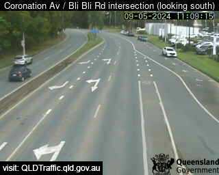
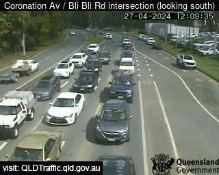
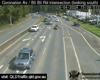
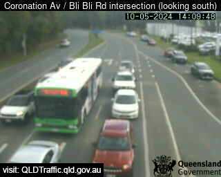
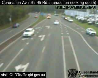
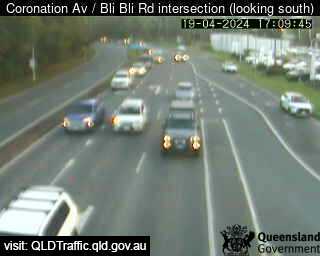
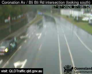
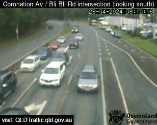
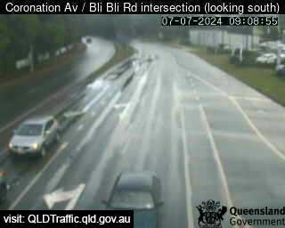
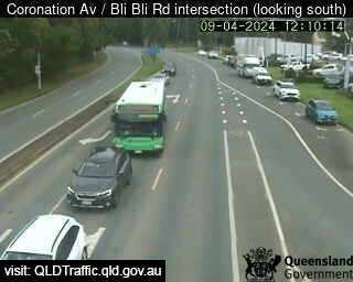
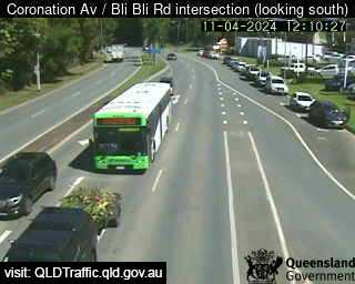
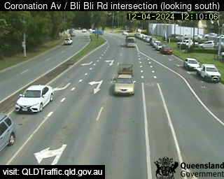
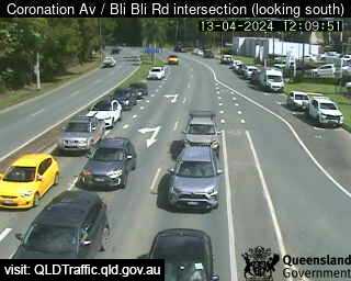
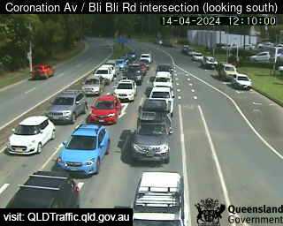
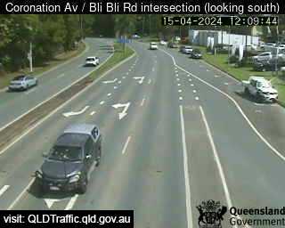
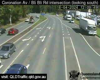
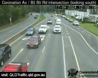
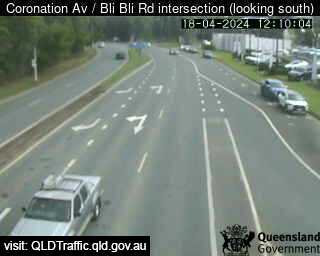
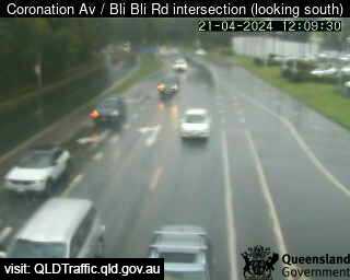
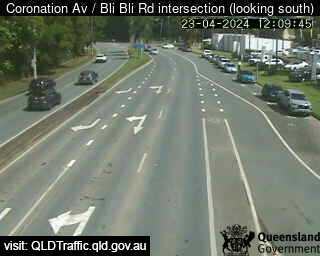
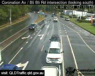
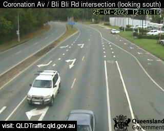
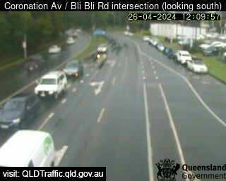
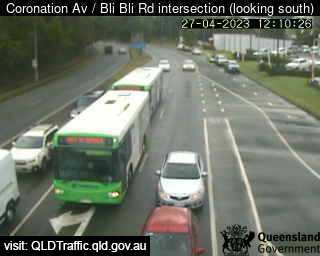
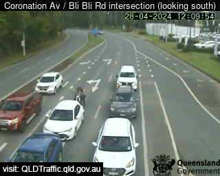
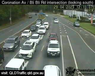
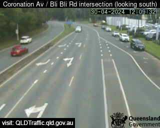
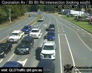
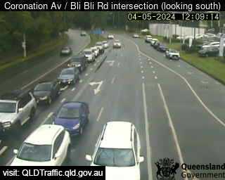
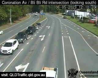
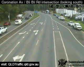
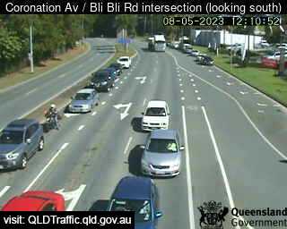
Nambour, Australien - 35.1 km da Peacebourne: Coronation Avenue / Bli Bli Road intersection (South) - Una vista sul traffico.
Operatore: Queensland Government - Department of Transport and Main Roads
Mer. 10:09
Mer. 11:09
Mer. 12:09
Mer. 13:09
Mer. 14:09
Mer. 15:09
Mer. 16:09
Mer. 17:09
Mer. 18:09
Mer. 19:09
Mer. 20:09
Mer. 21:09
Mer. 22:09
Mer. 23:09
Gio. 00:09
Gio. 01:09
Gio. 02:09
Gio. 03:09
Gio. 04:09
Gio. 05:09
Gio. 06:09
Gio. 07:09
Gio. 08:09
Gio. 09:09
Mar. 9.4.
Mer. 10.4.
Gio. 11.4.
Ven. 12.4.
Sab. 13.4.
Dom. 14.4.
Lun. 15.4.
Mar. 16.4.
Mer. 17.4.
Gio. 18.4.
Ven. 19.4.
Sab. 20.4.
Dom. 21.4.
Lun. 22.4.
Mar. 23.4.
Mer. 24.4.
Gio. 25.4.
Ven. 26.4.
Sab. 27.4.
Dom. 28.4.
Lun. 29.4.
Mar. 30.4.
Mer. 1.5.
Gio. 2.5.
Ven. 3.5.
Sab. 4.5.
Dom. 5.5.
Lun. 6.5.
Mar. 7.5.
Mer. 8.5.
Operatore: Queensland Government - Department of Transport and Main Roads
Mer. 10:09
Mer. 11:09
Mer. 12:09
Mer. 13:09
Mer. 14:09

Mer. 15:09
Mer. 16:09
Mer. 17:09

Mer. 18:09
Mer. 19:09
Mer. 20:09
Mer. 21:09
Mer. 22:09
Mer. 23:09
Gio. 00:09
Gio. 01:09

Gio. 02:09
Gio. 03:09

Gio. 04:09
Gio. 05:09
Gio. 06:09
Gio. 07:09
Gio. 08:09
Gio. 09:09
Mar. 9.4.

Mer. 10.4.
Gio. 11.4.
Ven. 12.4.
Sab. 13.4.
Dom. 14.4.
Lun. 15.4.
Mar. 16.4.
Mer. 17.4.
Gio. 18.4.

Ven. 19.4.

Sab. 20.4.
Dom. 21.4.

Lun. 22.4.
Mar. 23.4.
Mer. 24.4.
Gio. 25.4.
Ven. 26.4.
Sab. 27.4.
Dom. 28.4.
Lun. 29.4.
Mar. 30.4.
Mer. 1.5.

Gio. 2.5.

Ven. 3.5.
Sab. 4.5.

Dom. 5.5.
Lun. 6.5.
Mar. 7.5.
Mer. 8.5.

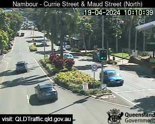
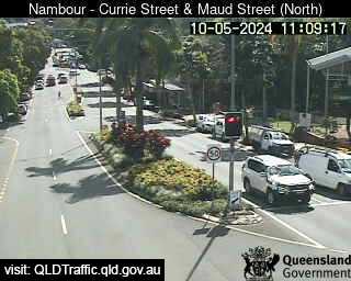
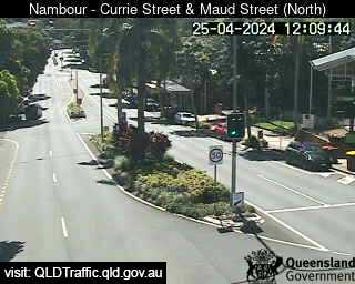
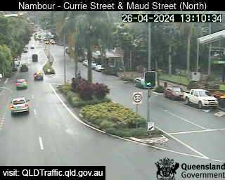
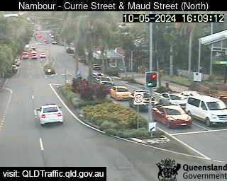
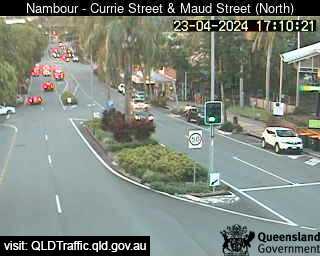
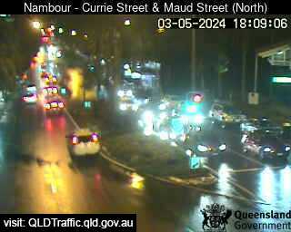
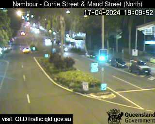
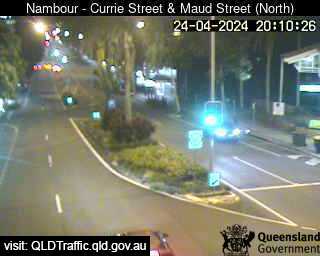
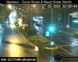
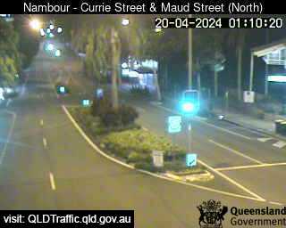
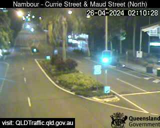
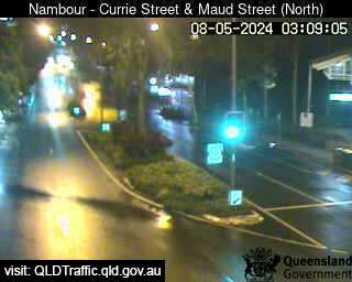
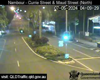
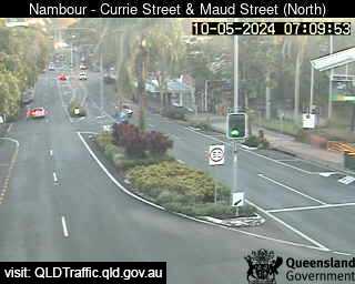
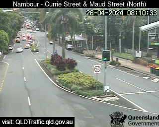
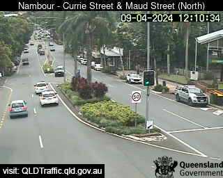
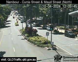
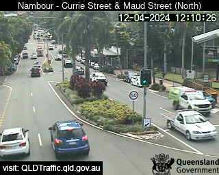
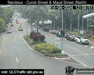
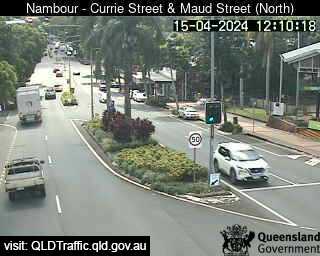
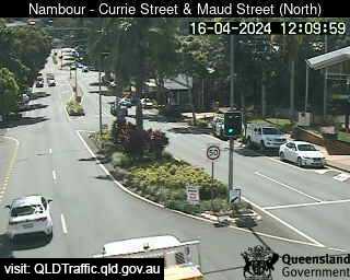
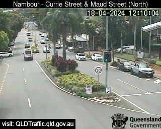
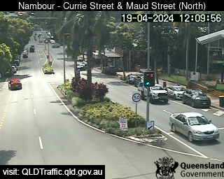
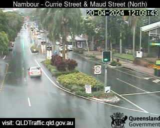
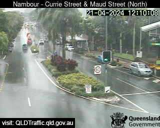
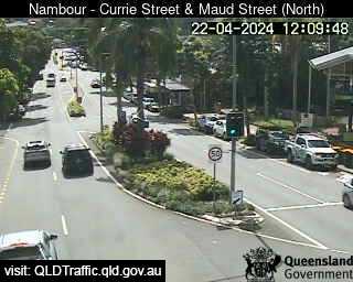
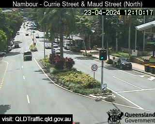
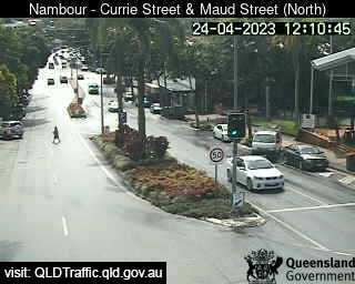
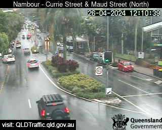
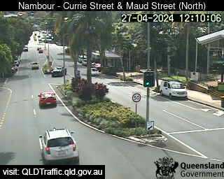
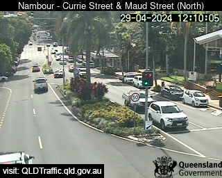
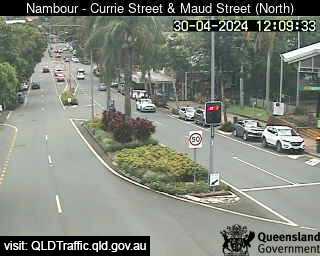
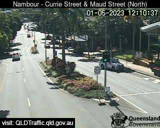
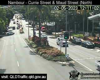
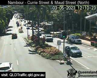
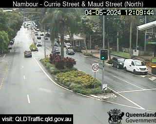
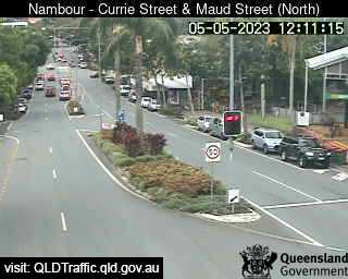
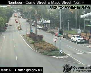
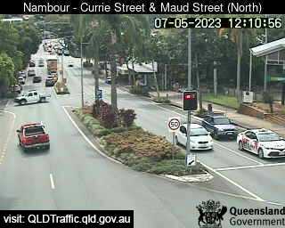
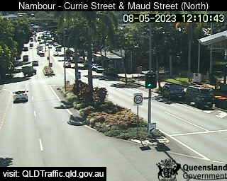
Nambour, Australien - 35.1 km da Peacebourne: Currie Street and Maud Street (looking north) - Una vista sul traffico.
Operatore: Queensland Government - Department of Transport and Main Roads
Mer. 10:10
Mer. 11:10
Mer. 12:10
Mer. 13:10
Mer. 14:10
Mer. 15:10
Mer. 16:10
Mer. 17:10
Mer. 18:10
Mer. 19:10
Mer. 20:10
Mer. 21:10
Mer. 22:10
Mer. 23:10
Gio. 00:10
Gio. 01:10
Gio. 02:10
Gio. 03:10
Gio. 04:10
Gio. 05:10
Gio. 06:10
Gio. 07:10
Gio. 08:10
Gio. 09:10
Mar. 9.4.
Mer. 10.4.
Gio. 11.4.
Ven. 12.4.
Sab. 13.4.
Dom. 14.4.
Lun. 15.4.
Mar. 16.4.
Mer. 17.4.
Gio. 18.4.
Ven. 19.4.
Sab. 20.4.
Dom. 21.4.
Lun. 22.4.
Mar. 23.4.
Mer. 24.4.
Gio. 25.4.
Ven. 26.4.
Sab. 27.4.
Dom. 28.4.
Lun. 29.4.
Mar. 30.4.
Mer. 1.5.
Gio. 2.5.
Ven. 3.5.
Sab. 4.5.
Dom. 5.5.
Lun. 6.5.
Mar. 7.5.
Mer. 8.5.
Operatore: Queensland Government - Department of Transport and Main Roads
Mer. 10:10
Mer. 11:10
Mer. 12:10
Mer. 13:10

Mer. 14:10

Mer. 15:10
Mer. 16:10
Mer. 17:10
Mer. 18:10
Mer. 19:10
Mer. 20:10

Mer. 21:10
Mer. 22:10

Mer. 23:10

Gio. 00:10
Gio. 01:10
Gio. 02:10
Gio. 03:10
Gio. 04:10

Gio. 05:10

Gio. 06:10
Gio. 07:10
Gio. 08:10

Gio. 09:10
Mar. 9.4.
Mer. 10.4.

Gio. 11.4.
Ven. 12.4.

Sab. 13.4.
Dom. 14.4.
Lun. 15.4.
Mar. 16.4.

Mer. 17.4.
Gio. 18.4.
Ven. 19.4.
Sab. 20.4.
Dom. 21.4.
Lun. 22.4.
Mar. 23.4.
Mer. 24.4.

Gio. 25.4.
Ven. 26.4.
Sab. 27.4.

Dom. 28.4.
Lun. 29.4.
Mar. 30.4.
Mer. 1.5.
Gio. 2.5.
Ven. 3.5.
Sab. 4.5.
Dom. 5.5.
Lun. 6.5.
Mar. 7.5.
Mer. 8.5.

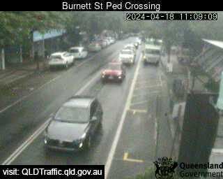
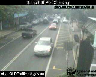
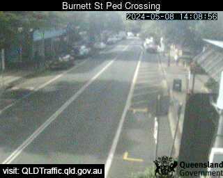
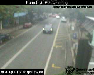
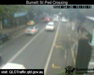
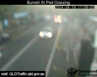
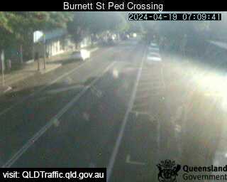
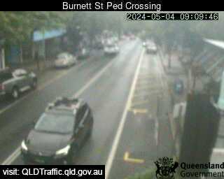
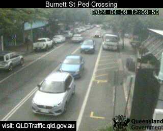
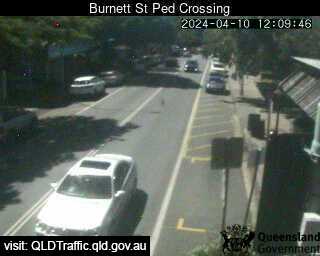
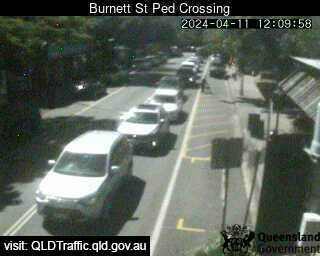
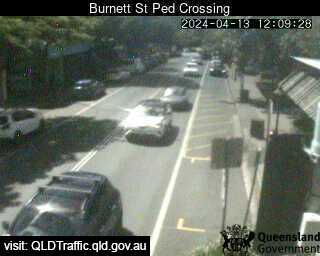
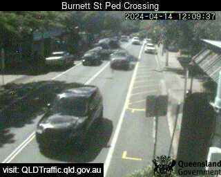
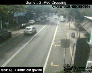
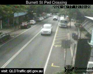
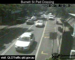
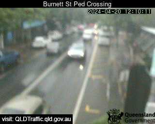
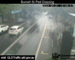
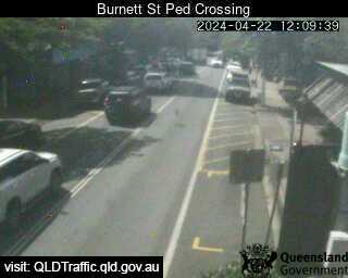
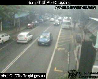
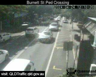
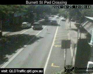
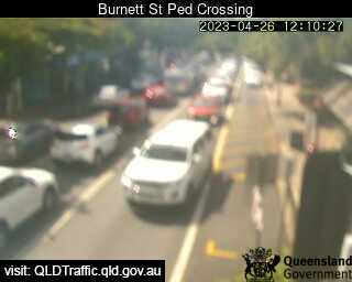
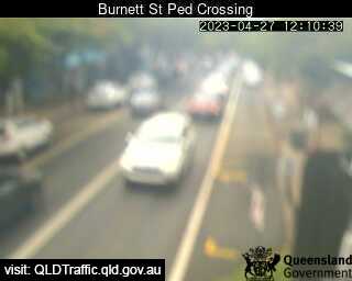
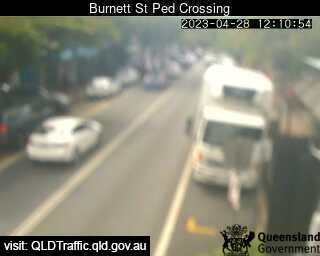
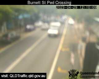
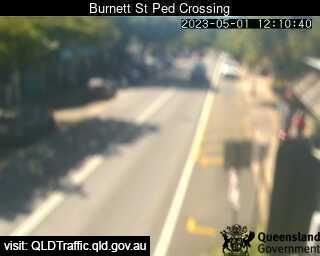
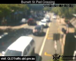
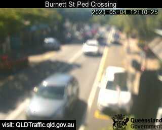
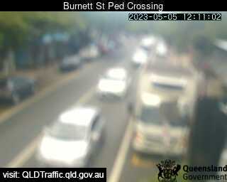
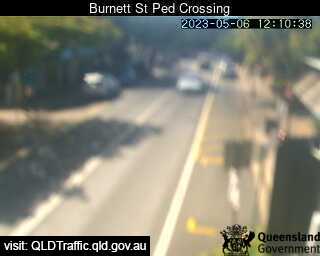
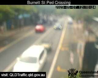
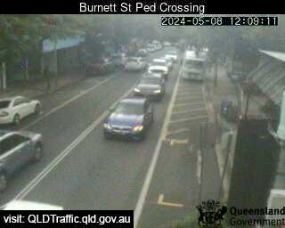
Buderim, Australien - 35.9 km da Peacebourne: Burnett Street Pedestrian Crossing (West) - Una vista sul traffico.
Operatore: Queensland Government - Department of Transport and Main Roads
Mer. 10:09
Mer. 11:09
Mer. 12:09
Mer. 13:09
Mer. 14:09
Mer. 15:09
Mer. 16:09
Mer. 17:09
Mer. 18:09
Mer. 19:09
Mer. 20:09
Mer. 21:09
Mer. 22:09
Mer. 23:09
Gio. 00:09
Gio. 01:09
Gio. 02:09
Gio. 03:09
Gio. 04:09
Gio. 05:09
Gio. 06:09
Gio. 07:09
Gio. 08:09
Gio. 09:09
Mar. 9.4.
Mer. 10.4.
Gio. 11.4.
Ven. 12.4.
Sab. 13.4.
Dom. 14.4.
Lun. 15.4.
Mar. 16.4.
Mer. 17.4.
Gio. 18.4.
Ven. 19.4.
Sab. 20.4.
Dom. 21.4.
Lun. 22.4.
Mar. 23.4.
Mer. 24.4.
Gio. 25.4.
Ven. 26.4.
Sab. 27.4.
Dom. 28.4.
Lun. 29.4.
Mar. 30.4.
Mer. 1.5.
Gio. 2.5.
Ven. 3.5.
Sab. 4.5.
Dom. 5.5.
Lun. 6.5.
Mar. 7.5.
Mer. 8.5.
Operatore: Queensland Government - Department of Transport and Main Roads

Mer. 10:09
Mer. 11:09

Mer. 12:09
Mer. 13:09
Mer. 14:09
Mer. 15:09
Mer. 16:09
Mer. 17:09
Mer. 18:09

Mer. 19:09
Mer. 20:09
Mer. 21:09
Mer. 22:09
Mer. 23:09
Gio. 00:09
Gio. 01:09
Gio. 02:09
Gio. 03:09
Gio. 04:09
Gio. 05:09

Gio. 06:09
Gio. 07:09

Gio. 08:09
Gio. 09:09
Mar. 9.4.
Mer. 10.4.
Gio. 11.4.

Ven. 12.4.
Sab. 13.4.
Dom. 14.4.
Lun. 15.4.

Mar. 16.4.
Mer. 17.4.

Gio. 18.4.
Ven. 19.4.
Sab. 20.4.
Dom. 21.4.
Lun. 22.4.
Mar. 23.4.
Mer. 24.4.
Gio. 25.4.
Ven. 26.4.
Sab. 27.4.
Dom. 28.4.
Lun. 29.4.

Mar. 30.4.
Mer. 1.5.

Gio. 2.5.
Ven. 3.5.
Sab. 4.5.
Dom. 5.5.
Lun. 6.5.
Mar. 7.5.
Mer. 8.5.

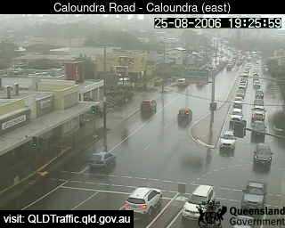
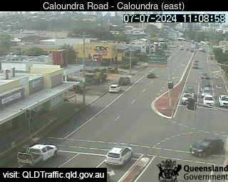
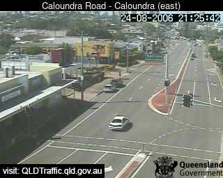
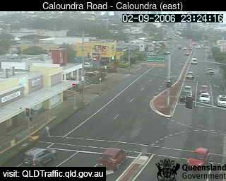
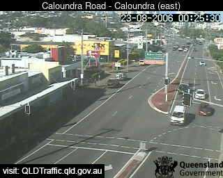
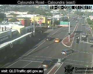
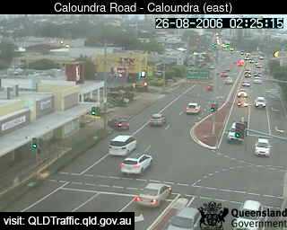
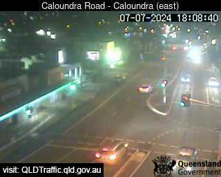
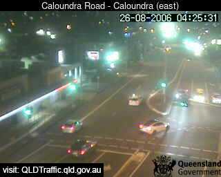
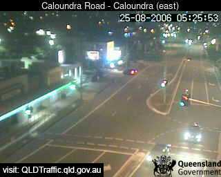
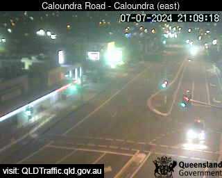
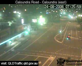
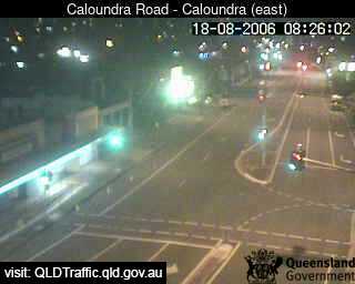
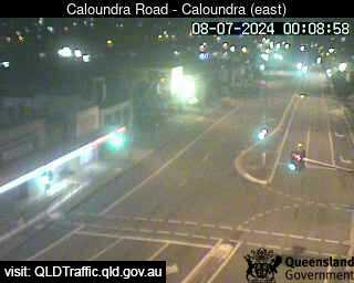
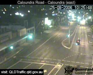
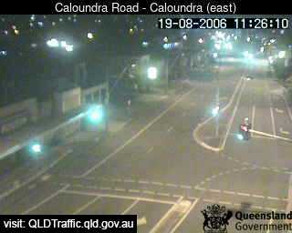
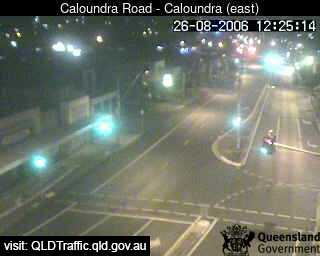
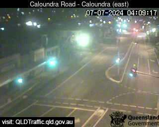
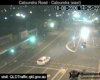
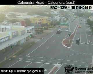
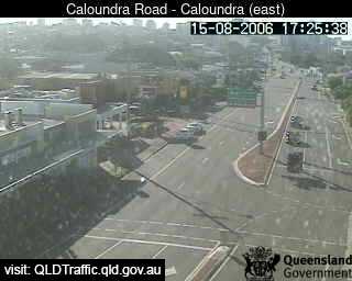
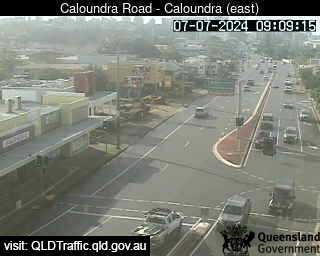
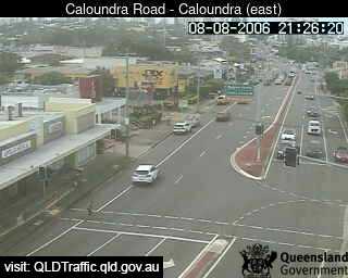
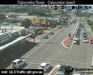
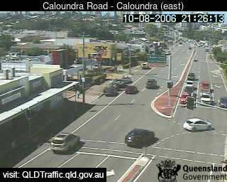
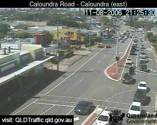
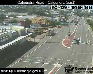
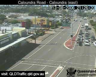
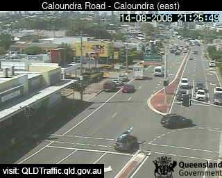
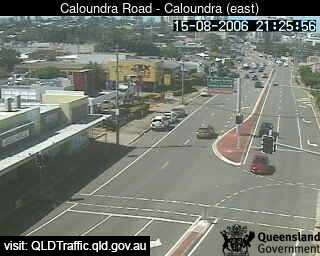
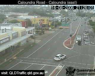
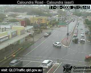
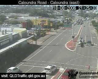
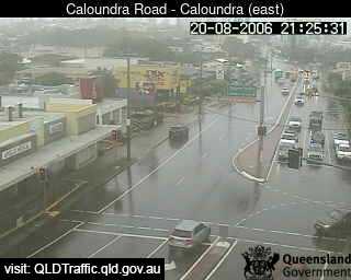
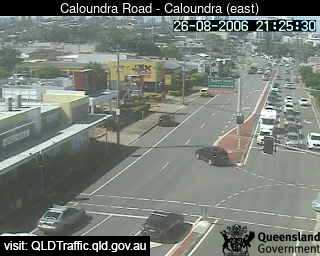
Caloundra, Australien - 36.2 km da Peacebourne: Forth Avenue intersection (looking East) - Una vista sul traffico.
Operatore: Queensland Government - Department of Transport and Main Roads
Mer. 10:09
Mer. 11:09
Mer. 12:09
Mer. 13:10
Mer. 14:09
Mer. 15:09
Mer. 16:09
Mer. 17:09
Mer. 18:09
Mer. 19:09
Mer. 20:09
Mer. 21:09
Mer. 22:09
Mer. 23:09
Gio. 00:09
Gio. 01:09
Gio. 02:09
Gio. 03:09
Gio. 04:09
Gio. 05:09
Gio. 06:09
Gio. 07:09
Gio. 08:09
Gio. 09:09
Mar. 9.4.
Mer. 10.4.
Gio. 11.4.
Ven. 12.4.
Sab. 13.4.
Dom. 14.4.
Lun. 15.4.
Mar. 16.4.
Mer. 17.4.
Gio. 18.4.
Ven. 19.4.
Sab. 20.4.
Dom. 21.4.
Lun. 22.4.
Mar. 23.4.
Mer. 24.4.
Gio. 25.4.
Ven. 26.4.
Sab. 27.4.
Dom. 28.4.
Lun. 29.4.
Mar. 30.4.
Mer. 1.5.
Gio. 2.5.
Ven. 3.5.
Sab. 4.5.
Dom. 5.5.
Lun. 6.5.
Mar. 7.5.
Mer. 8.5.
Operatore: Queensland Government - Department of Transport and Main Roads
Mer. 10:09
Mer. 11:09
Mer. 12:09

Mer. 13:10
Mer. 14:09
Mer. 15:09
Mer. 16:09
Mer. 17:09
Mer. 18:09
Mer. 19:09
Mer. 20:09
Mer. 21:09
Mer. 22:09
Mer. 23:09
Gio. 00:09
Gio. 01:09
Gio. 02:09
Gio. 03:09
Gio. 04:09
Gio. 05:09

Gio. 06:09
Gio. 07:09
Gio. 08:09
Gio. 09:09
Mar. 9.4.
Mer. 10.4.
Gio. 11.4.
Ven. 12.4.
Sab. 13.4.
Dom. 14.4.
Lun. 15.4.
Mar. 16.4.
Mer. 17.4.
Gio. 18.4.
Ven. 19.4.

Sab. 20.4.
Dom. 21.4.

Lun. 22.4.

Mar. 23.4.

Mer. 24.4.

Gio. 25.4.

Ven. 26.4.
Sab. 27.4.

Dom. 28.4.

Lun. 29.4.

Mar. 30.4.

Mer. 1.5.

Gio. 2.5.

Ven. 3.5.

Sab. 4.5.

Dom. 5.5.

Lun. 6.5.

Mar. 7.5.

Mer. 8.5.

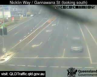
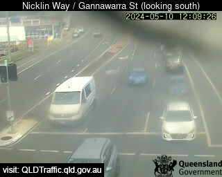
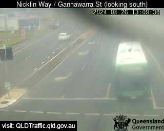
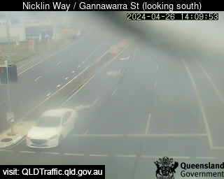
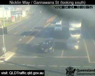
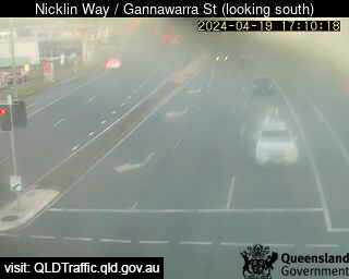
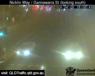
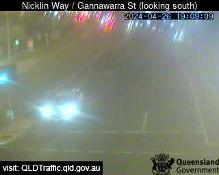
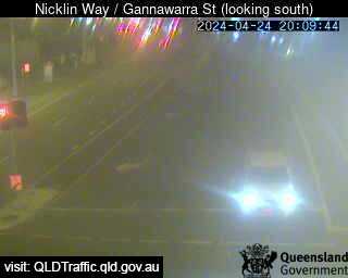
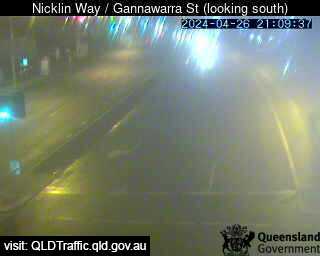
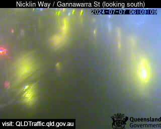
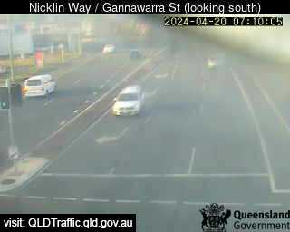
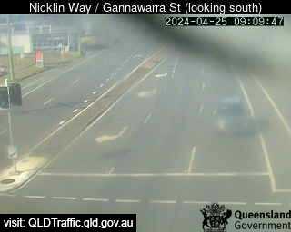
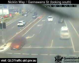
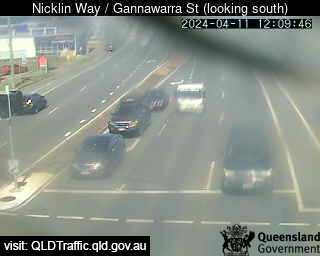
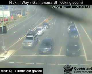
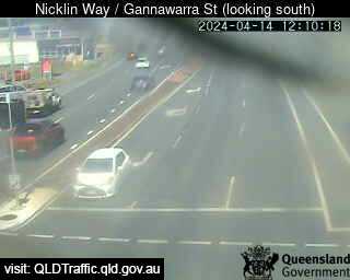
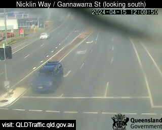
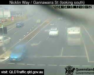
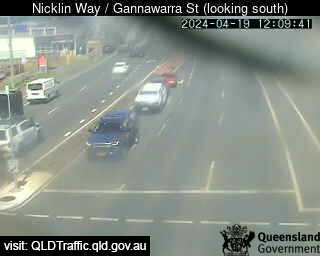
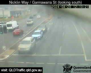
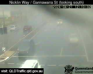
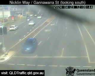
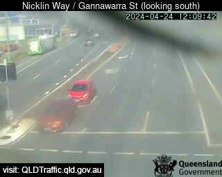
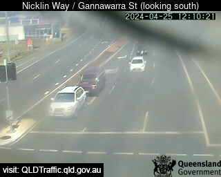
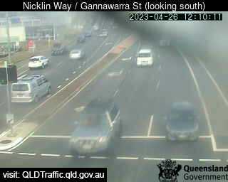
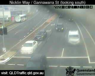
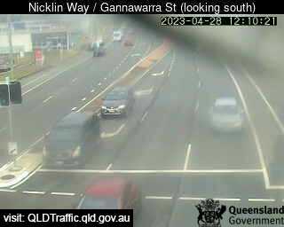
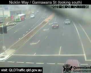
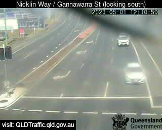
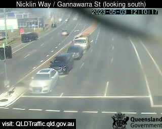
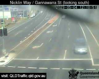
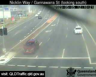
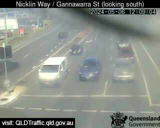
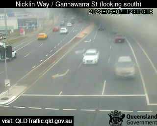
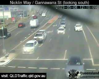
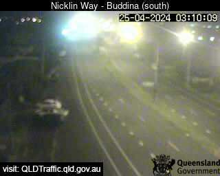
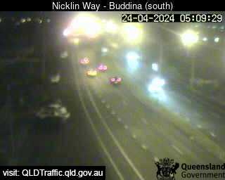
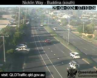
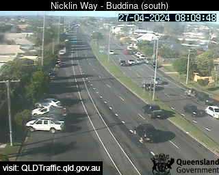
Currimundi, Australien - 36.7 km da Peacebourne: Nicklin Way / Gannawarra Street (looking south) ( South) - Una vista sul traffico.
Operatore: Queensland Government - Department of Transport and Main Roads
Mer. 10:09
Mer. 11:09
Mer. 12:09
Mer. 13:10
Mer. 14:09
Mer. 15:09
Mer. 16:09
Mer. 17:09
Mer. 18:09
Mer. 19:09
Mer. 20:09
Mer. 21:09
Mer. 22:09
Mer. 23:09
Gio. 00:09
Gio. 01:09
Gio. 02:09
Gio. 03:09
Gio. 04:09
Gio. 05:09
Gio. 06:09
Gio. 07:09
Gio. 08:09
Gio. 09:09
Mar. 9.4.
Mer. 10.4.
Gio. 11.4.
Ven. 12.4.
Sab. 13.4.
Dom. 14.4.
Lun. 15.4.
Mar. 16.4.
Mer. 17.4.
Gio. 18.4.
Ven. 19.4.
Sab. 20.4.
Dom. 21.4.
Lun. 22.4.
Mar. 23.4.
Mer. 24.4.
Gio. 25.4.
Ven. 26.4.
Sab. 27.4.
Dom. 28.4.
Lun. 29.4.
Mar. 30.4.
Mer. 1.5.
Gio. 2.5.
Ven. 3.5.
Sab. 4.5.
Dom. 5.5.
Lun. 6.5.
Mar. 7.5.
Mer. 8.5.
Operatore: Queensland Government - Department of Transport and Main Roads

Mer. 10:09
Mer. 11:09
Mer. 12:09
Mer. 13:10
Mer. 14:09

Mer. 15:09
Mer. 16:09
Mer. 17:09
Mer. 18:09
Mer. 19:09
Mer. 20:09
Mer. 21:09
Mer. 22:09
Mer. 23:09
Gio. 00:09
Gio. 01:09
Gio. 02:09
Gio. 03:09
Gio. 04:09
Gio. 05:09
Gio. 06:09
Gio. 07:09

Gio. 08:09
Gio. 09:09

Mar. 9.4.
Mer. 10.4.
Gio. 11.4.

Ven. 12.4.
Sab. 13.4.
Dom. 14.4.
Lun. 15.4.

Mar. 16.4.

Mer. 17.4.
Gio. 18.4.
Ven. 19.4.
Sab. 20.4.
Dom. 21.4.

Lun. 22.4.
Mar. 23.4.
Mer. 24.4.
Gio. 25.4.
Ven. 26.4.
Sab. 27.4.
Dom. 28.4.
Lun. 29.4.

Mar. 30.4.
Mer. 1.5.

Gio. 2.5.
Ven. 3.5.
Sab. 4.5.
Dom. 5.5.
Lun. 6.5.
Mar. 7.5.
Mer. 8.5.

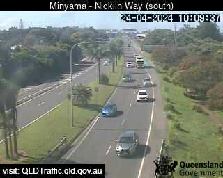
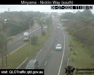
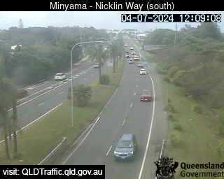
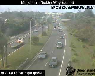
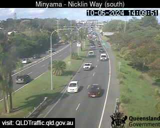
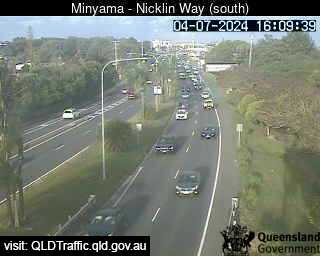
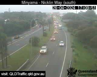
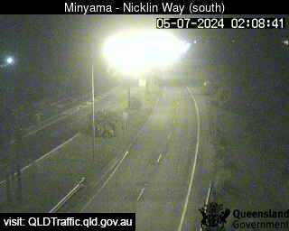
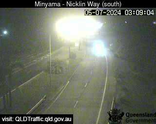
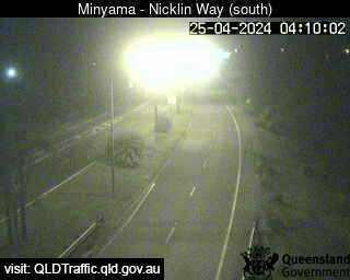
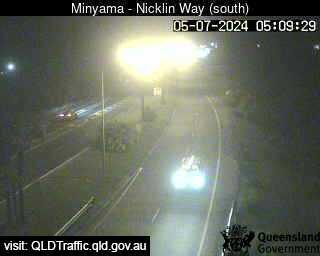
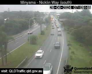
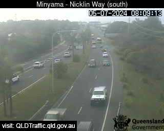
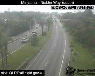
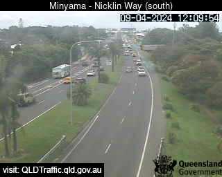
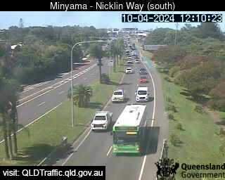
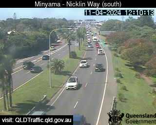
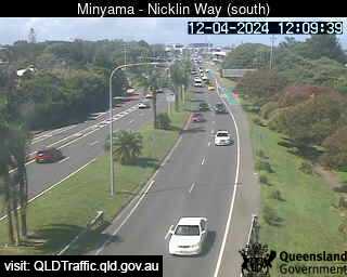
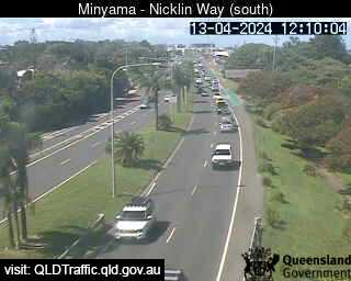
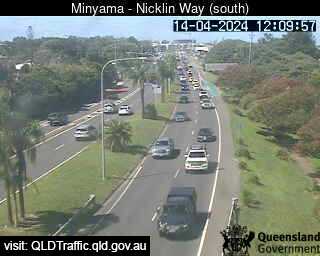
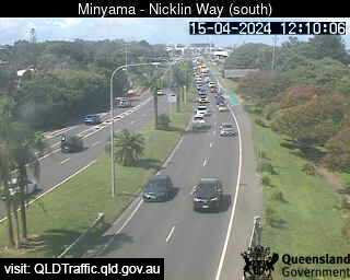
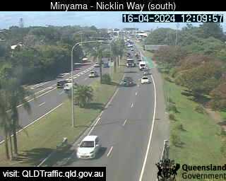
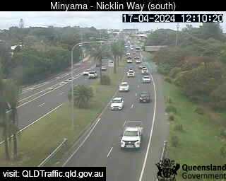
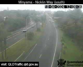
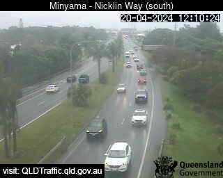
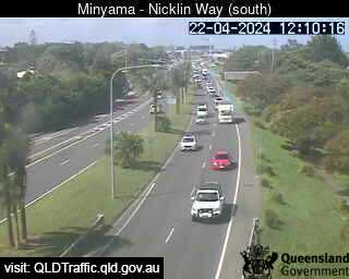
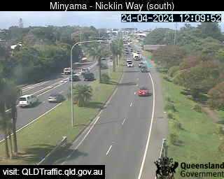
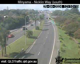
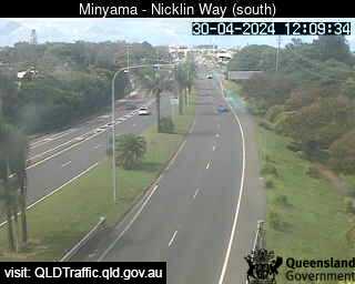
Minyama, Australien - 40.4 km da Peacebourne: Nicklin Way, looking south towards Jessica Boulevard - Una vista sul traffico.
Operatore: Queensland Government - Department of Transport and Main Roads
Mer. 10:09
Mer. 11:09
Mer. 12:09
Mer. 13:10
Mer. 14:09
Mer. 15:09
Mer. 16:09
Mer. 17:09
Mer. 18:09
Mer. 19:09
Mer. 20:09
Mer. 21:09
Mer. 22:09
Mer. 23:09
Gio. 00:09
Gio. 01:09
Gio. 02:09
Gio. 03:09
Gio. 04:09
Gio. 05:09
Gio. 06:09
Gio. 07:09
Gio. 08:09
Gio. 09:09
Mar. 9.4.
Mer. 10.4.
Gio. 11.4.
Ven. 12.4.
Sab. 13.4.
Dom. 14.4.
Lun. 15.4.
Mar. 16.4.
Mer. 17.4.
Gio. 18.4.
Ven. 19.4.
Sab. 20.4.
Dom. 21.4.
Lun. 22.4.
Mar. 23.4.
Mer. 24.4.
Gio. 25.4.
Ven. 26.4.
Sab. 27.4.
Dom. 28.4.
Lun. 29.4.
Mar. 30.4.
Mer. 1.5.
Gio. 2.5.
Ven. 3.5.
Sab. 4.5.
Dom. 5.5.
Lun. 6.5.
Mar. 7.5.
Mer. 8.5.
Operatore: Queensland Government - Department of Transport and Main Roads
Mer. 10:09
Mer. 11:09
Mer. 12:09
Mer. 13:10
Mer. 14:09

Mer. 15:09
Mer. 16:09
Mer. 17:09
Mer. 18:09
Mer. 19:09

Mer. 20:09
Mer. 21:09
Mer. 22:09
Mer. 23:09
Gio. 00:09
Gio. 01:09
Gio. 02:09
Gio. 03:09
Gio. 04:09
Gio. 05:09

Gio. 06:09
Gio. 07:09
Gio. 08:09
Gio. 09:09
Mar. 9.4.
Mer. 10.4.
Gio. 11.4.
Ven. 12.4.
Sab. 13.4.
Dom. 14.4.
Lun. 15.4.
Mar. 16.4.
Mer. 17.4.
Gio. 18.4.

Ven. 19.4.
Sab. 20.4.

Dom. 21.4.
Lun. 22.4.

Mar. 23.4.
Mer. 24.4.
Gio. 25.4.

Ven. 26.4.

Sab. 27.4.

Dom. 28.4.

Lun. 29.4.
Mar. 30.4.

Mer. 1.5.

Gio. 2.5.

Ven. 3.5.

Sab. 4.5.

Dom. 5.5.

Lun. 6.5.

Mar. 7.5.

Mer. 8.5.

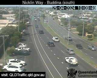
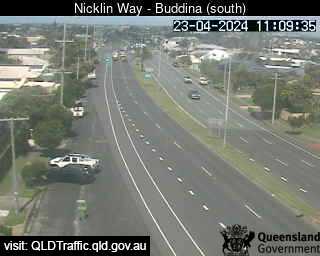
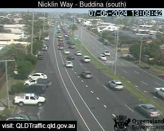
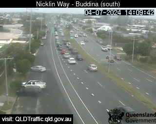
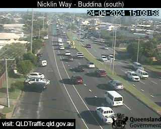
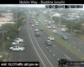
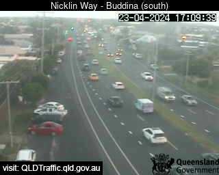
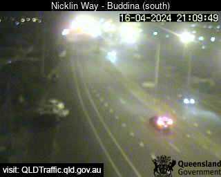
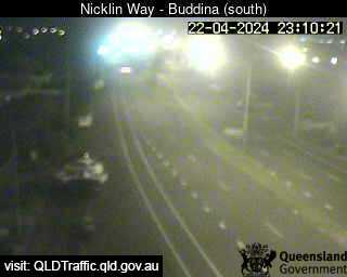
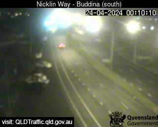
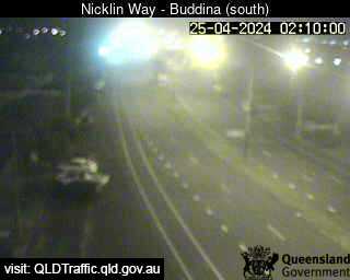
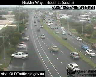
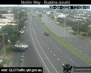
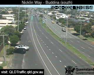
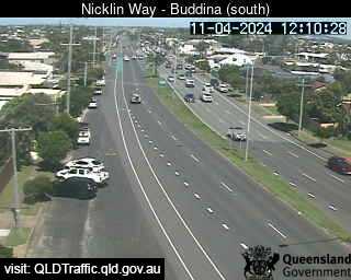
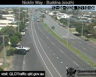
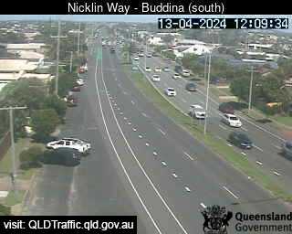
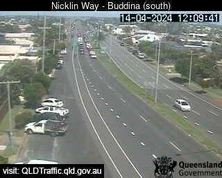
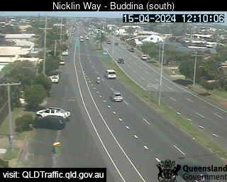
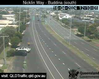
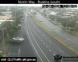
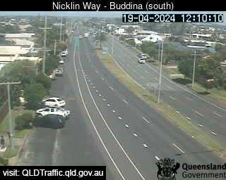
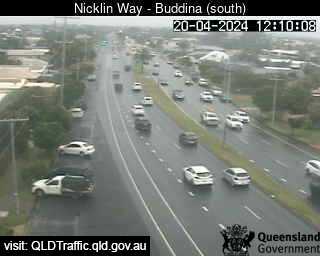
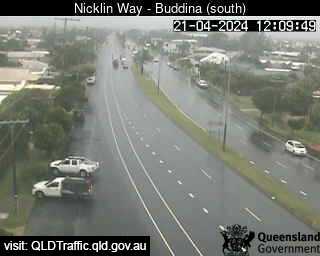
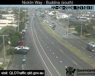
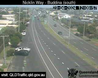
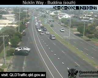
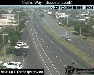
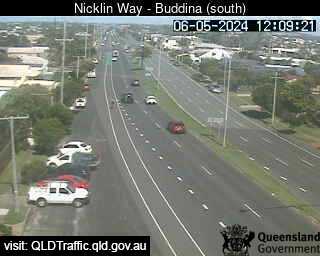
Buddina, Australien - 40.8 km da Peacebourne: Nicklin Way, Lutana Street intersection (looking north) - Una vista sul traffico.
Operatore: Queensland Government - Department of Transport and Main Roads
Mer. 10:10
Mer. 11:10
Mer. 12:10
Mer. 13:10
Mer. 14:10
Mer. 15:10
Mer. 16:10
Mer. 17:10
Mer. 18:10
Mer. 19:10
Mer. 20:10
Mer. 21:10
Mer. 22:10
Mer. 23:10
Gio. 00:10
Gio. 01:10
Gio. 02:10
Gio. 03:10
Gio. 04:10
Gio. 05:10
Gio. 06:10
Gio. 07:10
Gio. 08:10
Gio. 09:10
Mar. 9.4.
Mer. 10.4.
Gio. 11.4.
Ven. 12.4.
Sab. 13.4.
Dom. 14.4.
Lun. 15.4.
Mar. 16.4.
Mer. 17.4.
Gio. 18.4.
Ven. 19.4.
Sab. 20.4.
Dom. 21.4.
Lun. 22.4.
Mar. 23.4.
Mer. 24.4.
Gio. 25.4.
Ven. 26.4.
Sab. 27.4.
Dom. 28.4.
Lun. 29.4.
Mar. 30.4.
Mer. 1.5.
Gio. 2.5.
Ven. 3.5.
Sab. 4.5.
Dom. 5.5.
Lun. 6.5.
Mar. 7.5.
Mer. 8.5.
Operatore: Queensland Government - Department of Transport and Main Roads
Mer. 10:10
Mer. 11:10

Mer. 12:10
Mer. 13:10
Mer. 14:10
Mer. 15:10
Mer. 16:10
Mer. 17:10
Mer. 18:10
Mer. 19:10
Mer. 20:10
Mer. 21:10

Mer. 22:10
Mer. 23:10
Gio. 00:10

Gio. 01:10
Gio. 02:10
Gio. 03:10

Gio. 04:10
Gio. 05:10

Gio. 06:10
Gio. 07:10
Gio. 08:10
Gio. 09:10
Mar. 9.4.
Mer. 10.4.
Gio. 11.4.
Ven. 12.4.
Sab. 13.4.
Dom. 14.4.
Lun. 15.4.
Mar. 16.4.

Mer. 17.4.
Gio. 18.4.
Ven. 19.4.
Sab. 20.4.
Dom. 21.4.
Lun. 22.4.
Mar. 23.4.
Mer. 24.4.
Gio. 25.4.

Ven. 26.4.

Sab. 27.4.

Dom. 28.4.

Lun. 29.4.

Mar. 30.4.

Mer. 1.5.

Gio. 2.5.

Ven. 3.5.

Sab. 4.5.

Dom. 5.5.
Lun. 6.5.

Mar. 7.5.

Mer. 8.5.

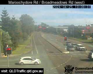
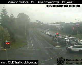
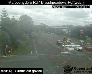
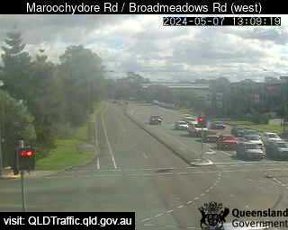
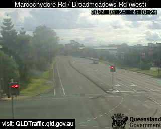
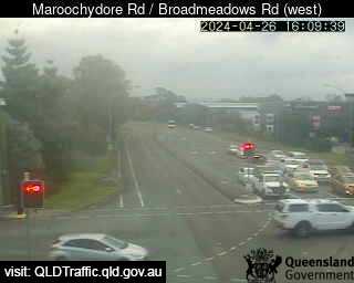
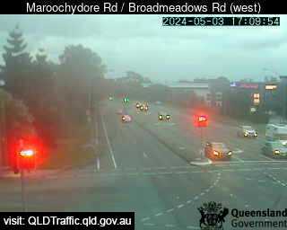
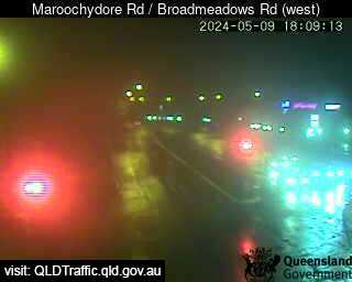
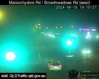
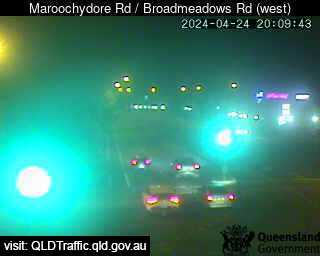
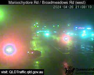
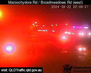
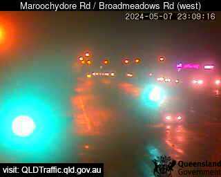
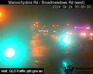
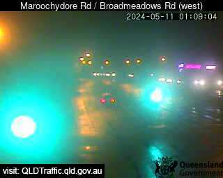
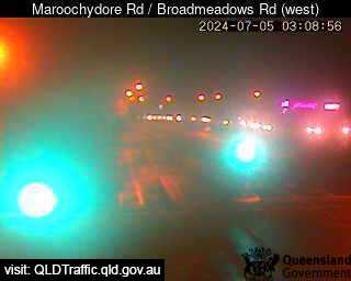
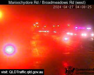
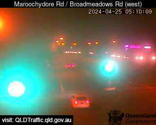
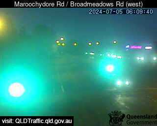
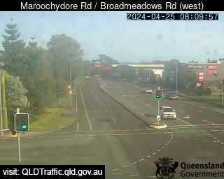
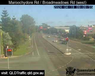
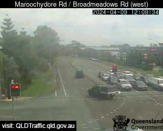
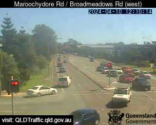
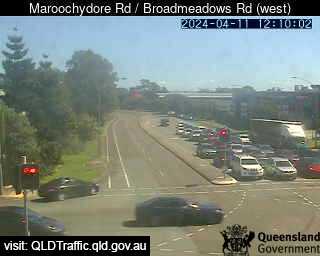
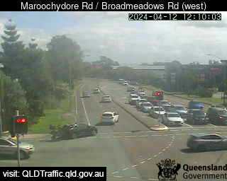
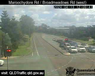
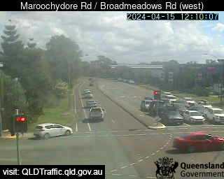
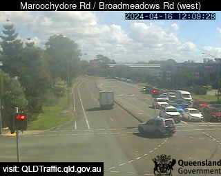
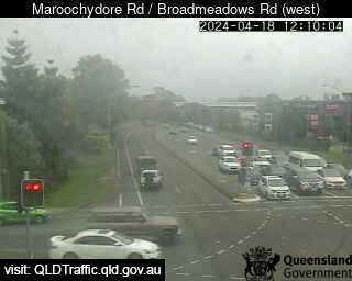
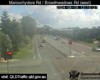
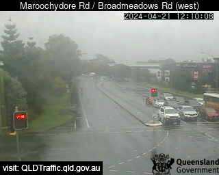
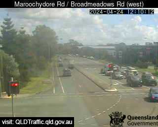
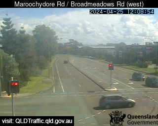
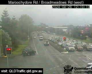
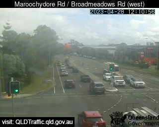
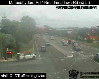
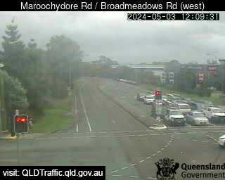
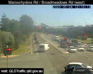
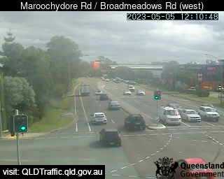
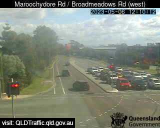
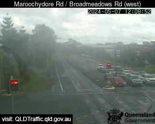
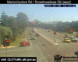
Maroochydore, Australien - 41.1 km da Peacebourne: Maroochydore Road / Broadmeadows Road (West) - Una vista sul traffico.
Operatore: Queensland Government - Department of Transport and Main Roads
Mer. 10:09
Mer. 11:09
Mer. 12:09
Mer. 13:09
Mer. 14:09
Mer. 15:09
Mer. 16:09
Mer. 17:09
Mer. 18:09
Mer. 19:09
Mer. 20:09
Mer. 21:09
Mer. 22:09
Mer. 23:09
Gio. 00:09
Gio. 01:09
Gio. 02:09
Gio. 03:09
Gio. 04:09
Gio. 05:09
Gio. 06:09
Gio. 07:09
Gio. 08:09
Gio. 09:09
Mar. 9.4.
Mer. 10.4.
Gio. 11.4.
Ven. 12.4.
Sab. 13.4.
Dom. 14.4.
Lun. 15.4.
Mar. 16.4.
Mer. 17.4.
Gio. 18.4.
Ven. 19.4.
Sab. 20.4.
Dom. 21.4.
Lun. 22.4.
Mar. 23.4.
Mer. 24.4.
Gio. 25.4.
Ven. 26.4.
Sab. 27.4.
Dom. 28.4.
Lun. 29.4.
Mar. 30.4.
Mer. 1.5.
Gio. 2.5.
Ven. 3.5.
Sab. 4.5.
Dom. 5.5.
Lun. 6.5.
Mar. 7.5.
Mer. 8.5.
Operatore: Queensland Government - Department of Transport and Main Roads
Mer. 10:09
Mer. 11:09
Mer. 12:09
Mer. 13:09
Mer. 14:09

Mer. 15:09
Mer. 16:09
Mer. 17:09
Mer. 18:09
Mer. 19:09
Mer. 20:09
Mer. 21:09
Mer. 22:09
Mer. 23:09
Gio. 00:09
Gio. 01:09

Gio. 02:09
Gio. 03:09
Gio. 04:09
Gio. 05:09
Gio. 06:09

Gio. 07:09
Gio. 08:09
Gio. 09:09
Mar. 9.4.
Mer. 10.4.
Gio. 11.4.
Ven. 12.4.
Sab. 13.4.

Dom. 14.4.
Lun. 15.4.
Mar. 16.4.

Mer. 17.4.
Gio. 18.4.
Ven. 19.4.

Sab. 20.4.
Dom. 21.4.

Lun. 22.4.

Mar. 23.4.
Mer. 24.4.
Gio. 25.4.
Ven. 26.4.

Sab. 27.4.
Dom. 28.4.
Lun. 29.4.

Mar. 30.4.

Mer. 1.5.

Gio. 2.5.
Ven. 3.5.
Sab. 4.5.
Dom. 5.5.
Lun. 6.5.
Mar. 7.5.
Mer. 8.5.
Alcuni altri luoghi in questo paese: Pawtella - Paxton - Peachester - Peacock Siding - Peak Crossing - Peak Hill - Peakhurst - Peakview - Pearce - Pearcedale