Webcam nella Regione di Civil Bend (historical), Oregon, USA
La lista delle webcam vicino a Civil Bend (historical), Oregon, USA:

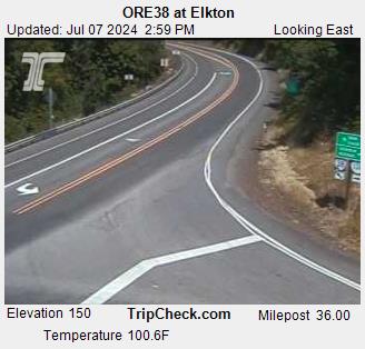
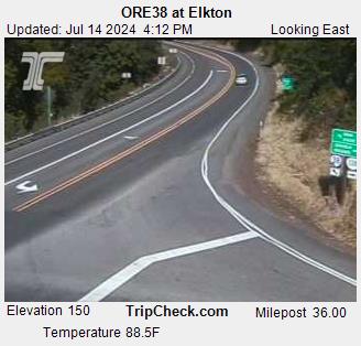
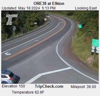
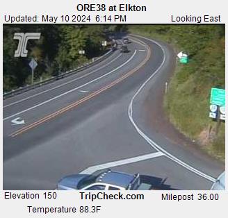
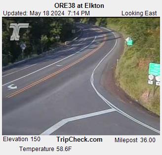
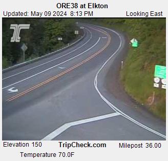
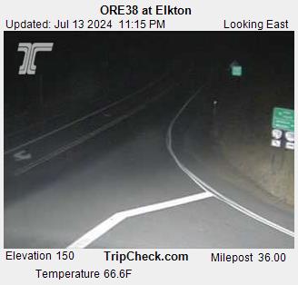
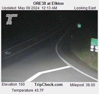
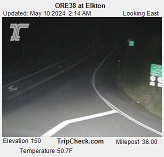
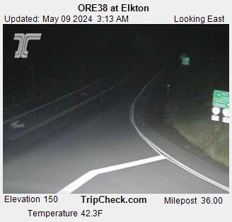
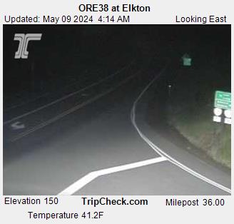
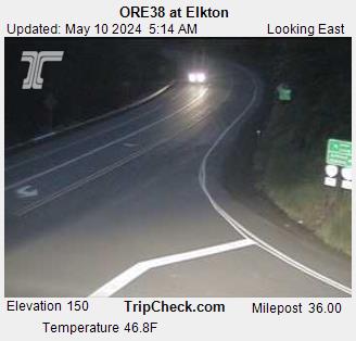
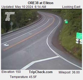
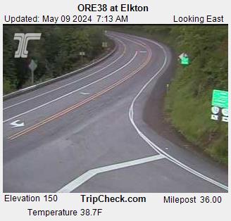
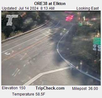
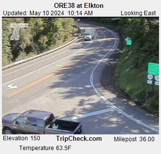
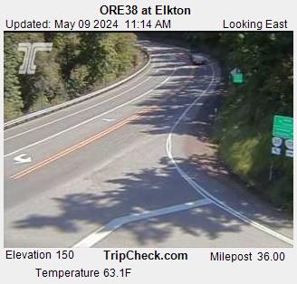
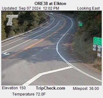
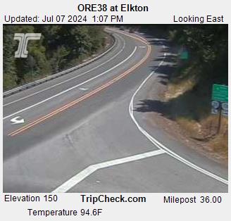
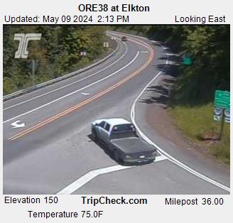
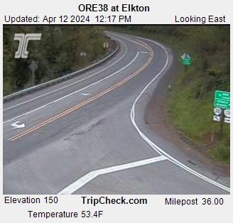
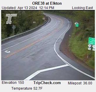
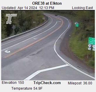
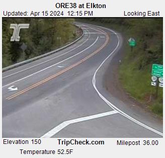
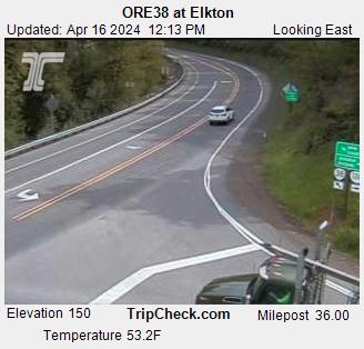
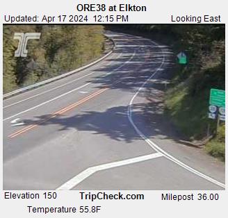
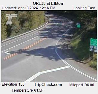
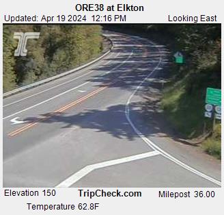
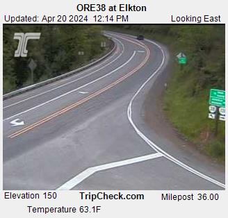
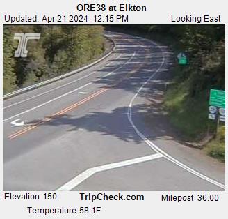
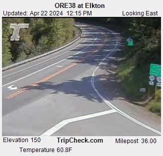
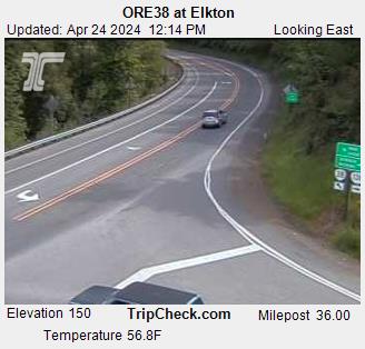
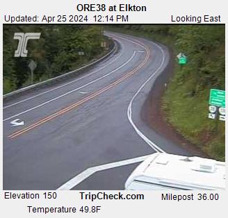
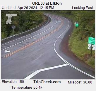
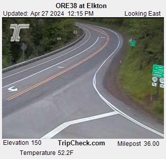
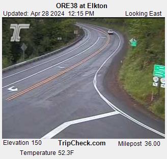
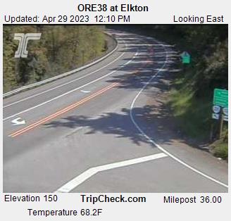
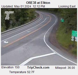
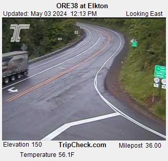
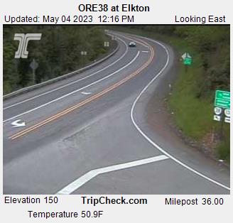
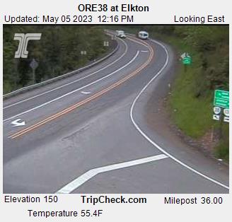
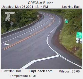
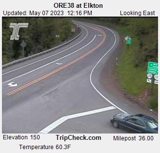
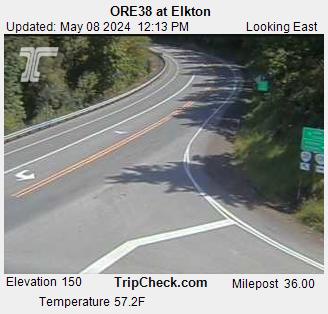
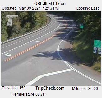
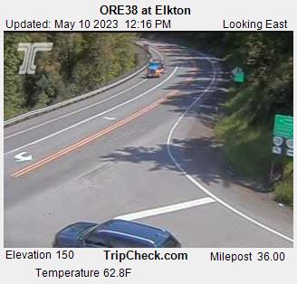
Elkton, Oregon, USA - 60.1 km da Civil Bend (historical): ORE38 at Elkton - Una vista sul traffico sul ORE38.
Operatore: Oregon Department of Transportation

Gio. 15:17
Gio. 16:17
Gio. 17:17
Gio. 18:17
Gio. 19:17
Gio. 20:17
Gio. 21:17
Gio. 22:17
Gio. 23:17
Ven. 00:17
Ven. 01:17
Ven. 02:17
Ven. 03:17
Ven. 04:17
Ven. 05:17
Ven. 06:17
Ven. 07:17
Ven. 08:17
Ven. 09:17
Ven. 10:17
Ven. 11:17
Ven. 12:17
Ven. 13:17
Ven. 14:17
Gio. 11.4.
Ven. 12.4.
Sab. 13.4.
Dom. 14.4.
Lun. 15.4.
Mar. 16.4.
Mer. 17.4.
Gio. 18.4.
Ven. 19.4.
Sab. 20.4.
Dom. 21.4.
Lun. 22.4.
Mar. 23.4.
Mer. 24.4.
Gio. 25.4.
Ven. 26.4.
Sab. 27.4.
Dom. 28.4.
Lun. 29.4.
Mar. 30.4.
Mer. 1.5.
Gio. 2.5.
Ven. 3.5.
Sab. 4.5.
Dom. 5.5.
Lun. 6.5.
Mar. 7.5.
Mer. 8.5.
Gio. 9.5.
Ven. 10.5.
Operatore: Oregon Department of Transportation
Gio. 15:17
Gio. 16:17
Gio. 17:17
Gio. 18:17
Gio. 19:17
Gio. 20:17
Gio. 21:17
Gio. 22:17
Gio. 23:17
Ven. 00:17

Ven. 01:17
Ven. 02:17
Ven. 03:17
Ven. 04:17
Ven. 05:17
Ven. 06:17
Ven. 07:17
Ven. 08:17

Ven. 09:17
Ven. 10:17
Ven. 11:17
Ven. 12:17
Ven. 13:17
Ven. 14:17

Gio. 11.4.
Ven. 12.4.
Sab. 13.4.
Dom. 14.4.
Lun. 15.4.
Mar. 16.4.
Mer. 17.4.
Gio. 18.4.
Ven. 19.4.
Sab. 20.4.
Dom. 21.4.
Lun. 22.4.

Mar. 23.4.
Mer. 24.4.
Gio. 25.4.
Ven. 26.4.
Sab. 27.4.
Dom. 28.4.
Lun. 29.4.

Mar. 30.4.
Mer. 1.5.

Gio. 2.5.
Ven. 3.5.
Sab. 4.5.
Dom. 5.5.
Lun. 6.5.
Mar. 7.5.
Mer. 8.5.
Gio. 9.5.
Ven. 10.5.

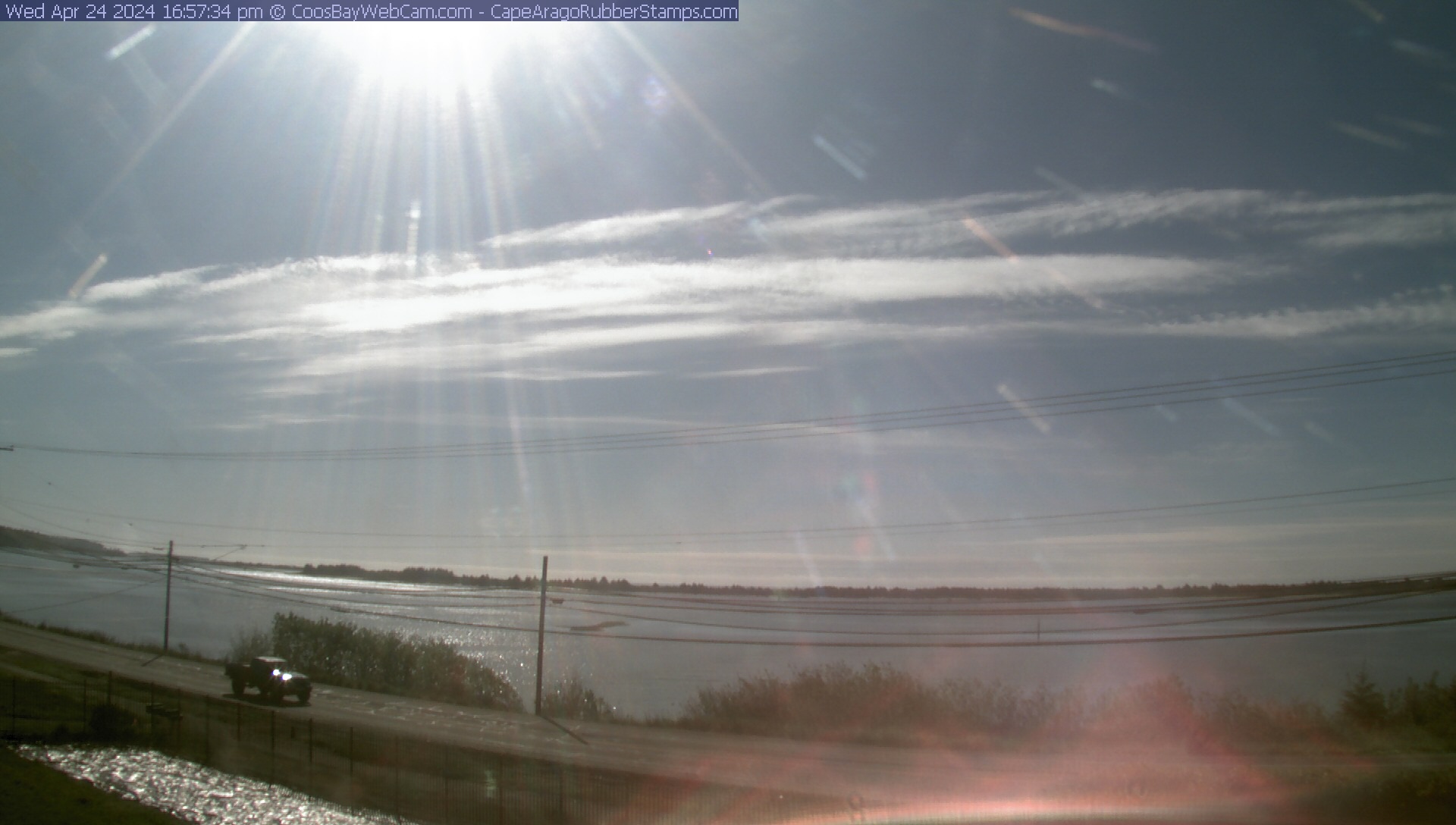
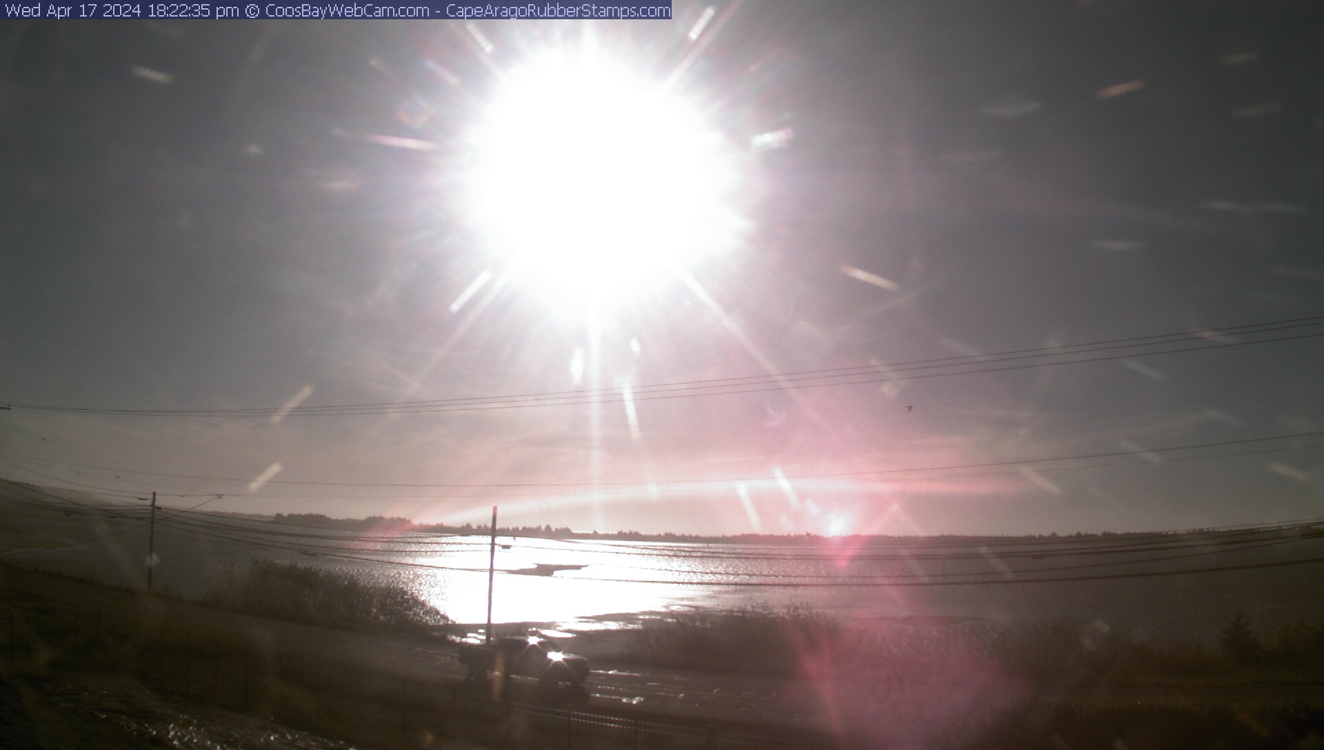
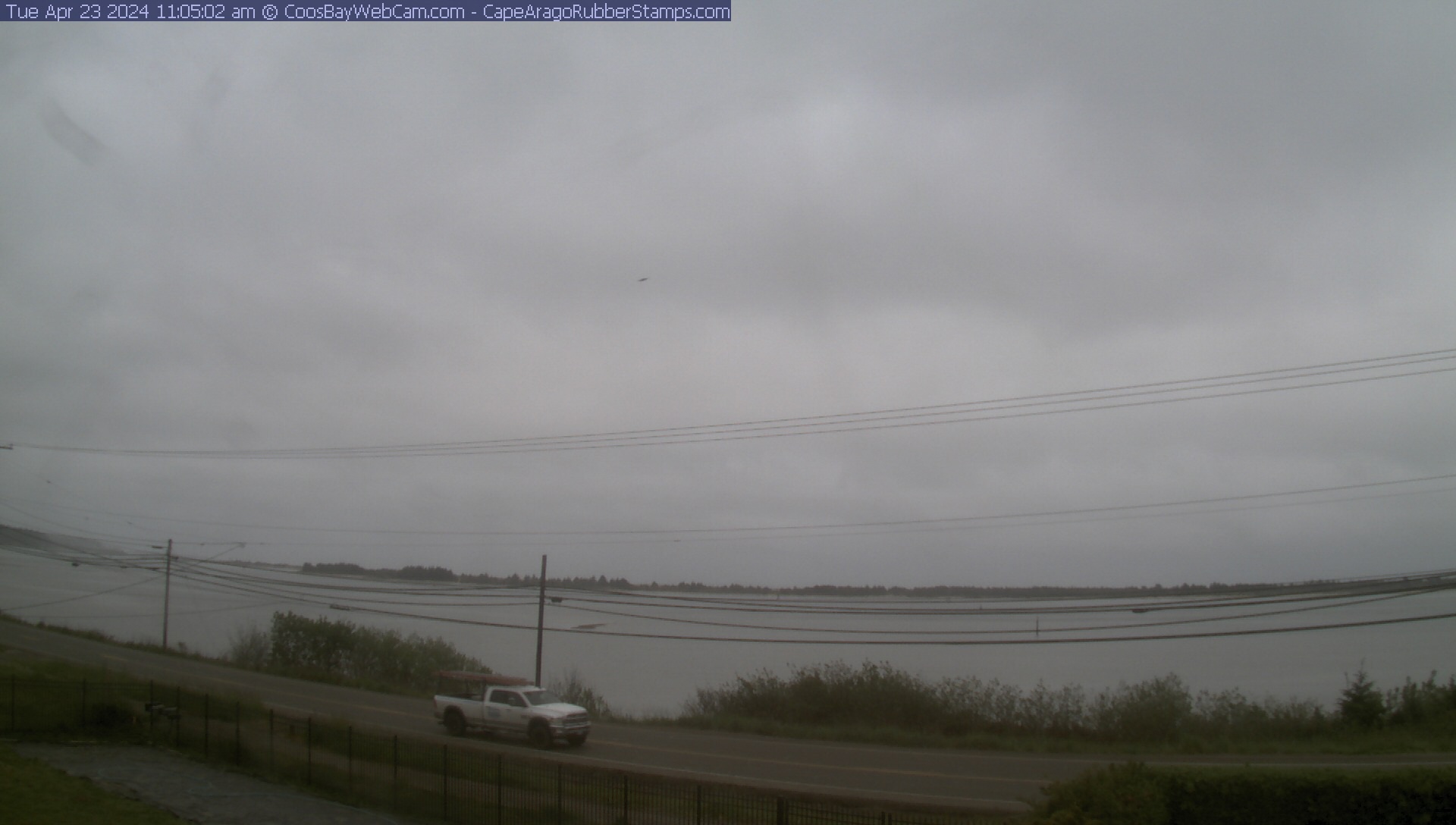
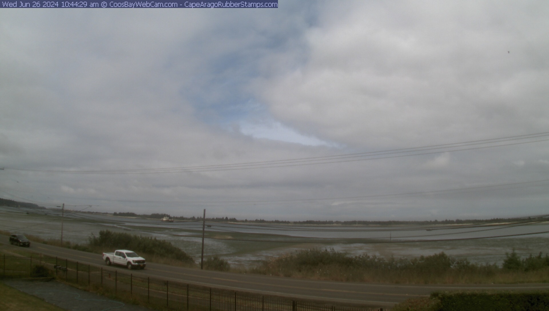
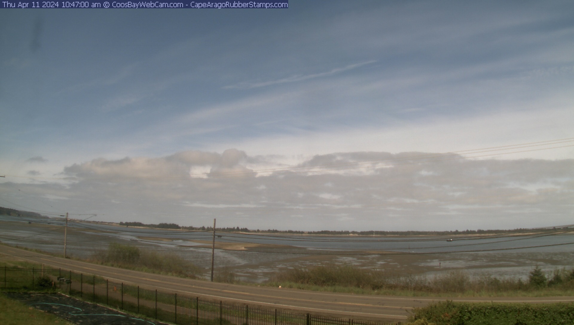
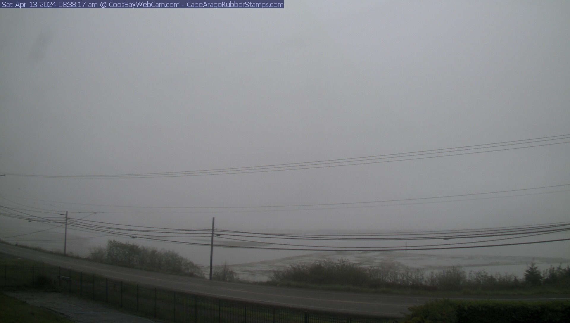
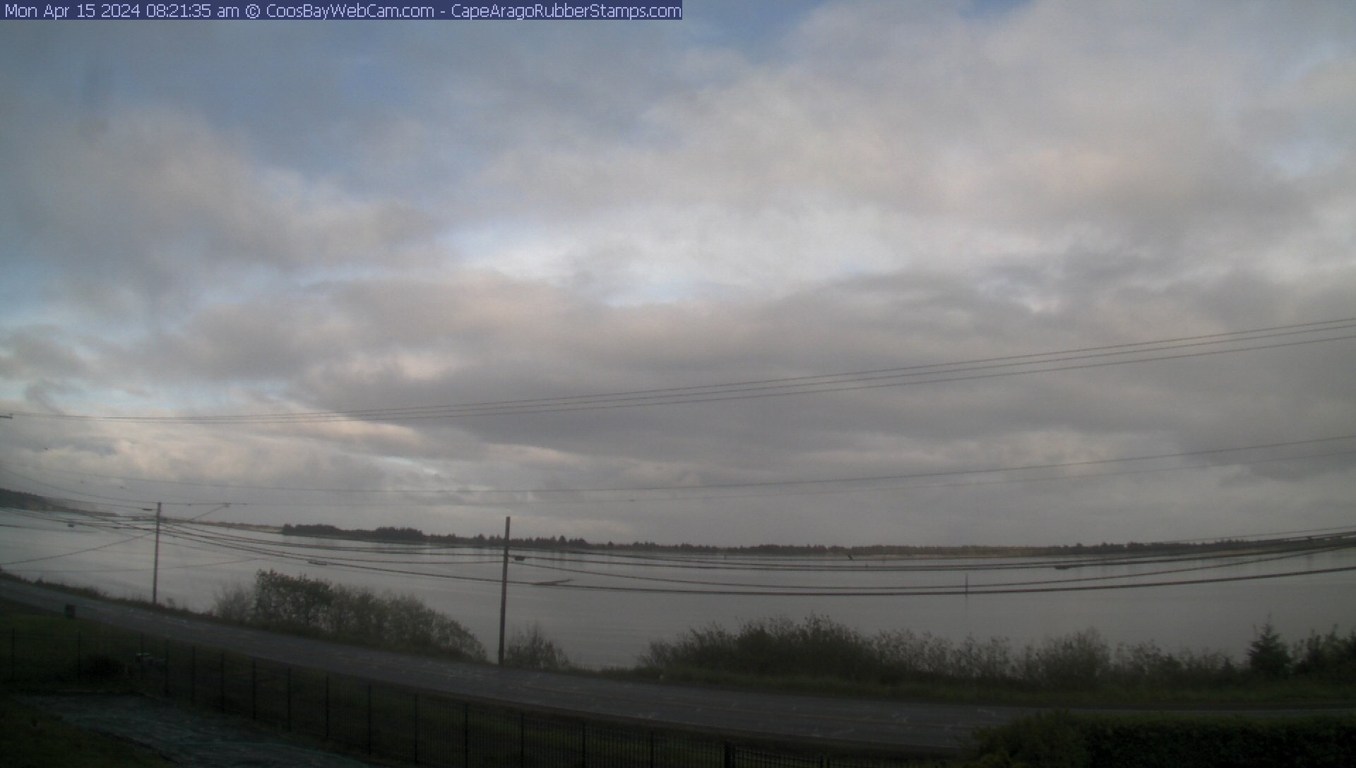
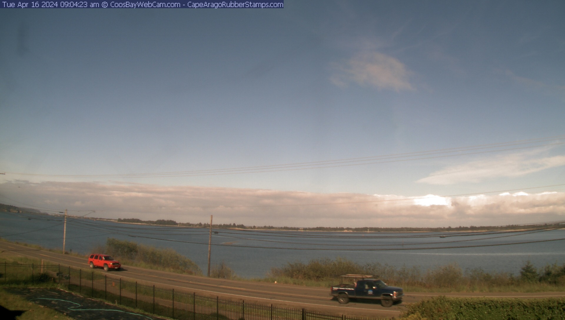
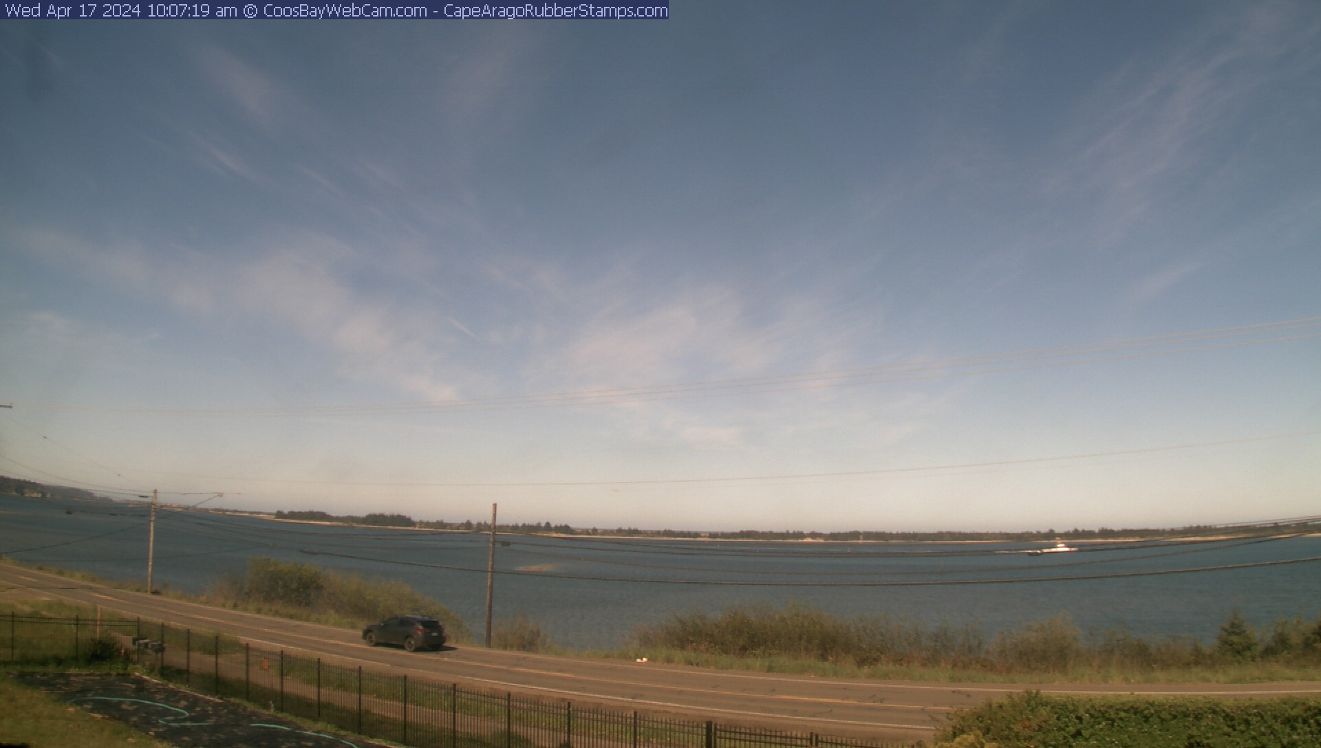
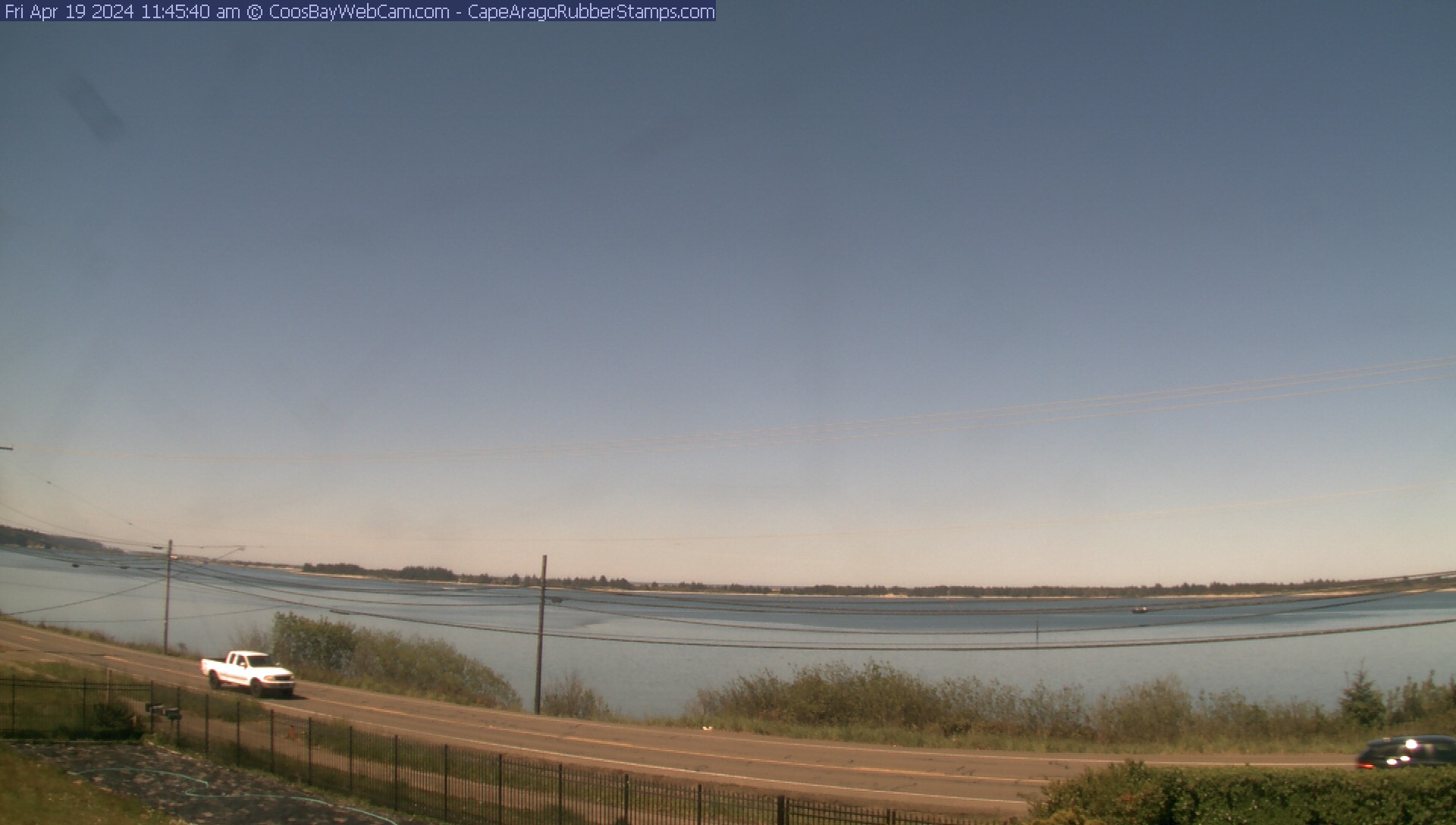
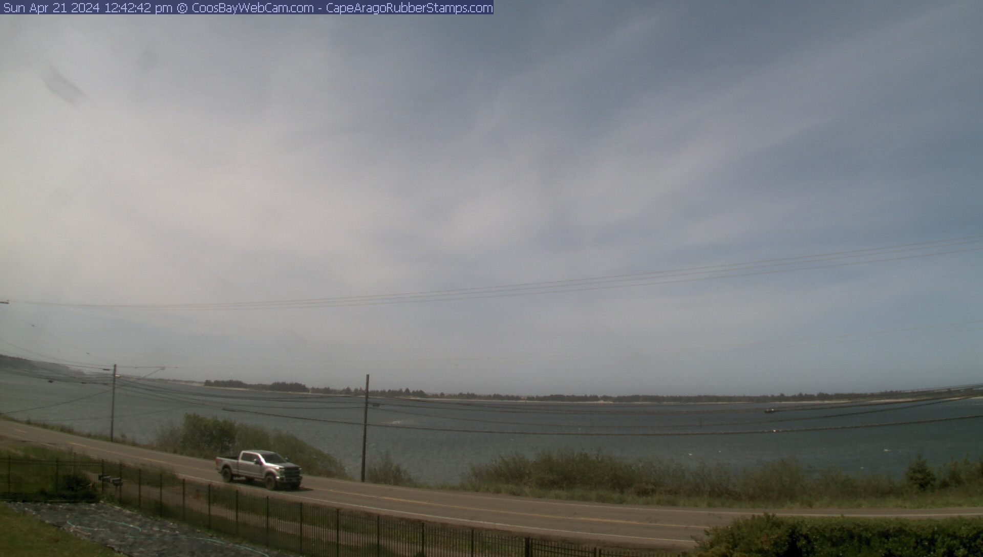
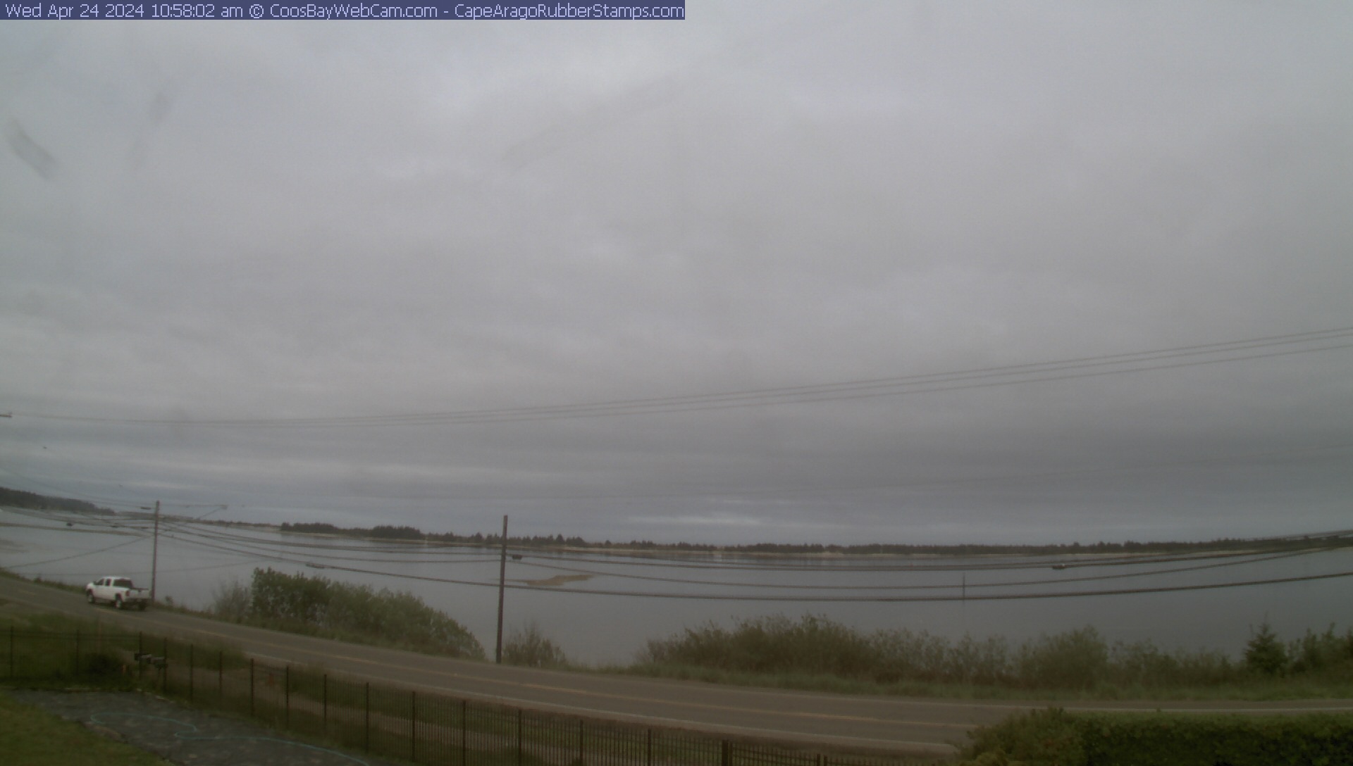
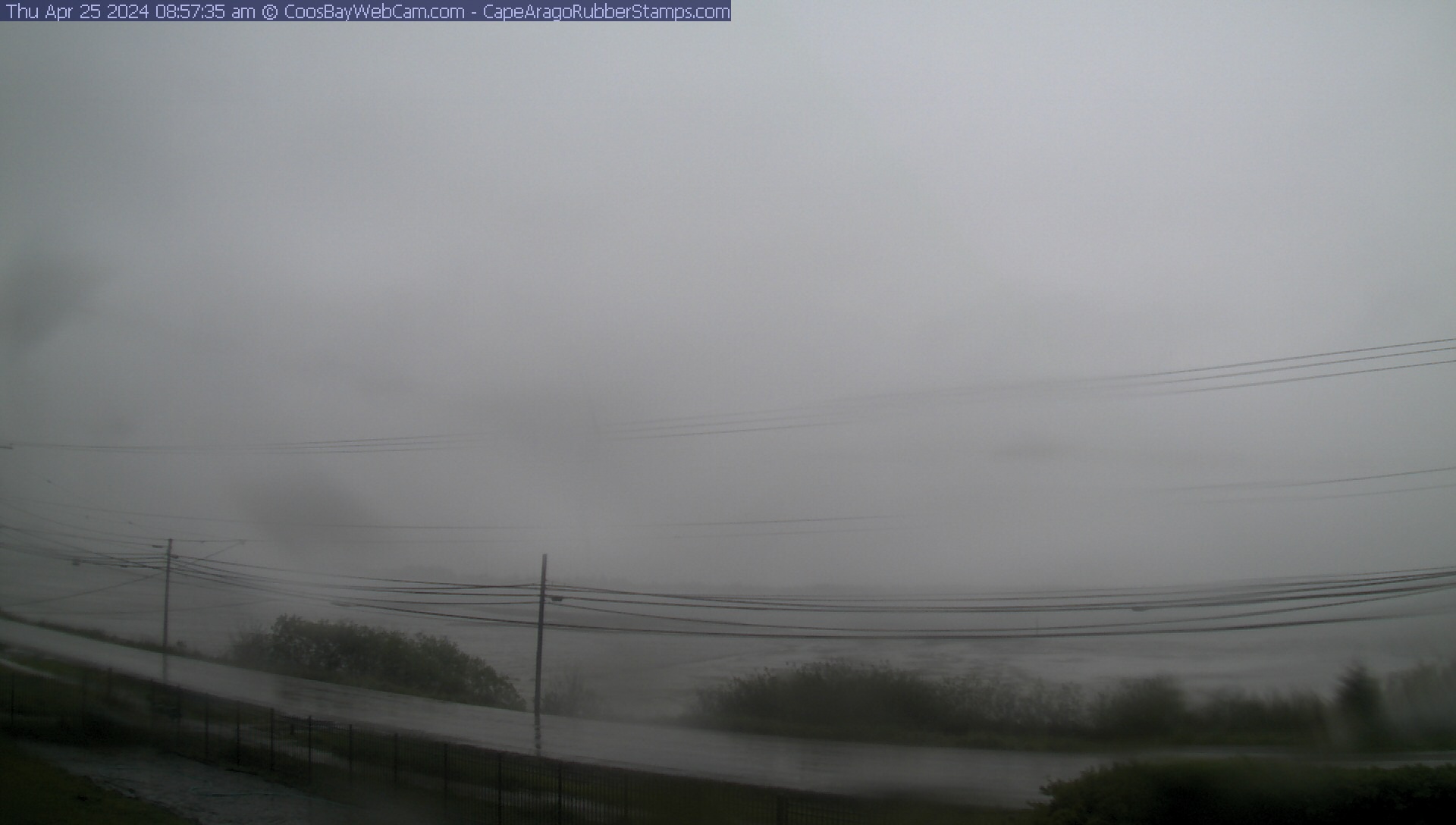
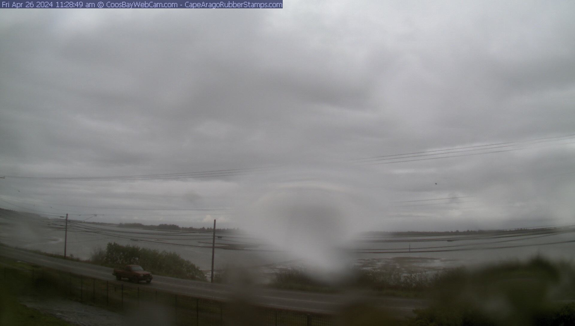
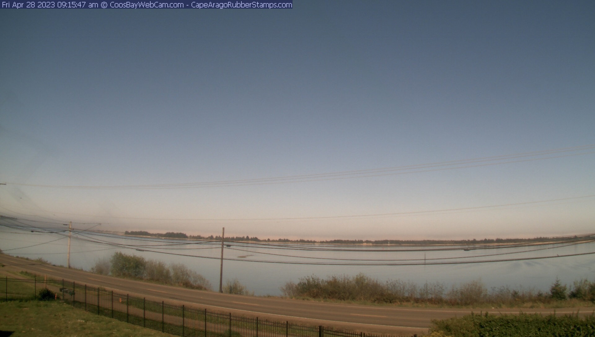
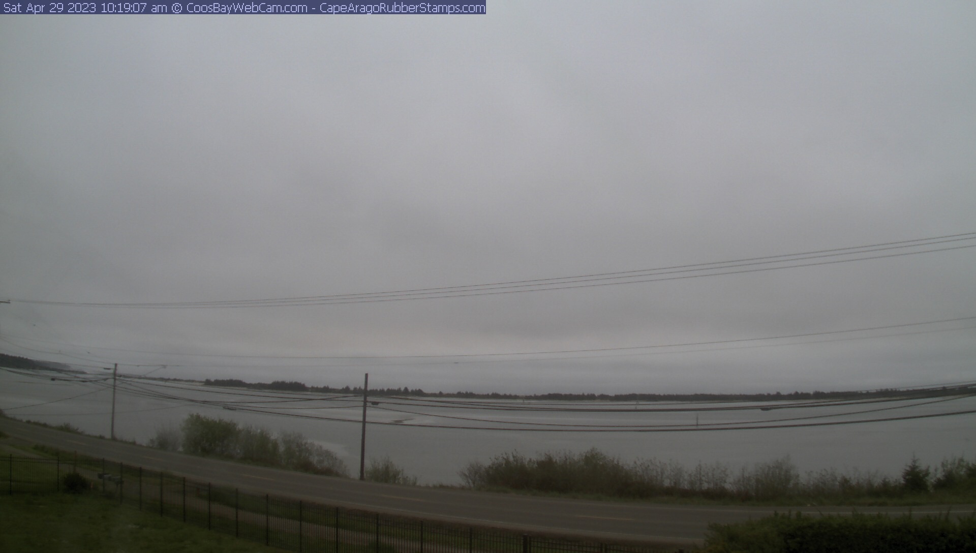
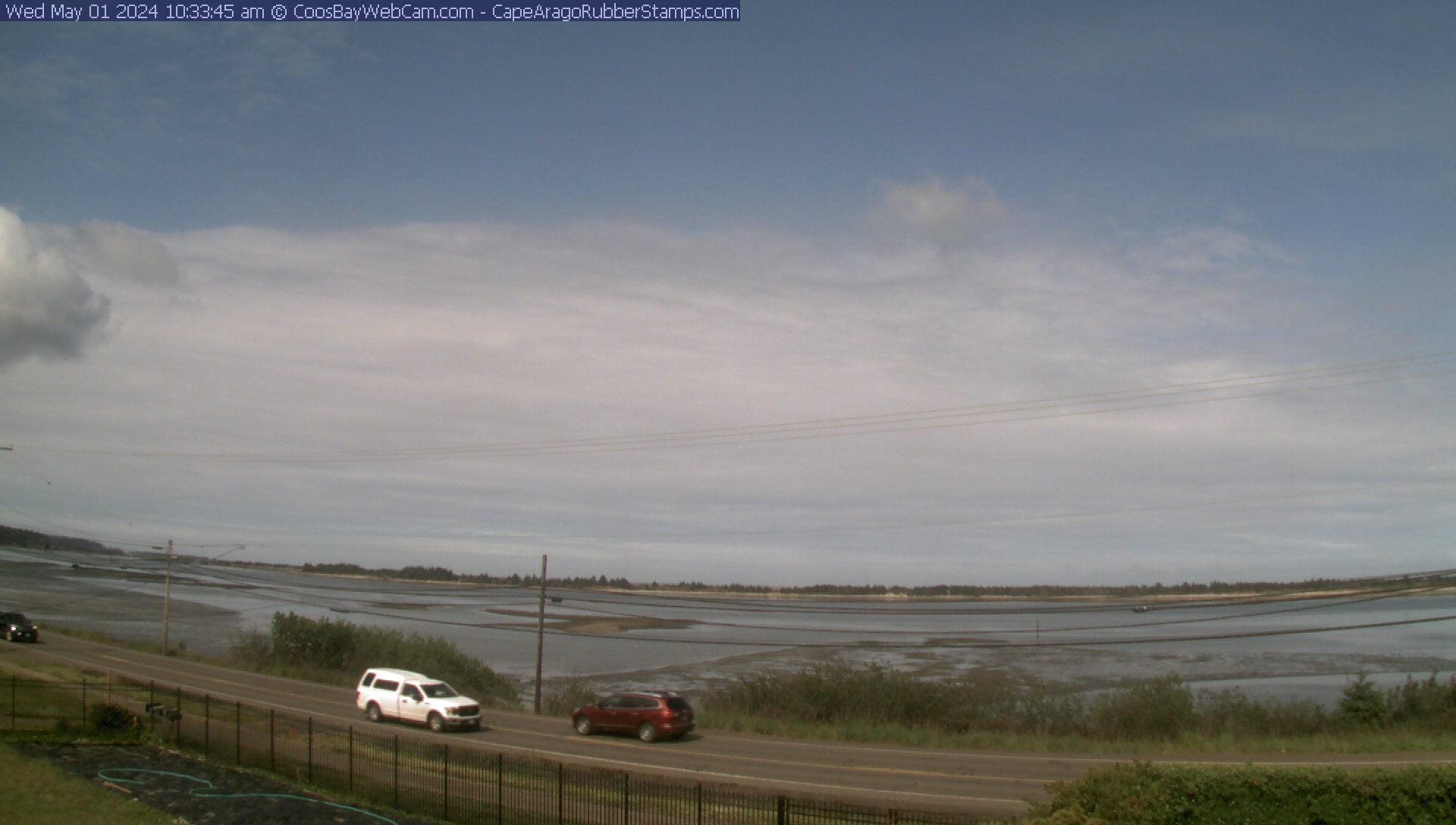
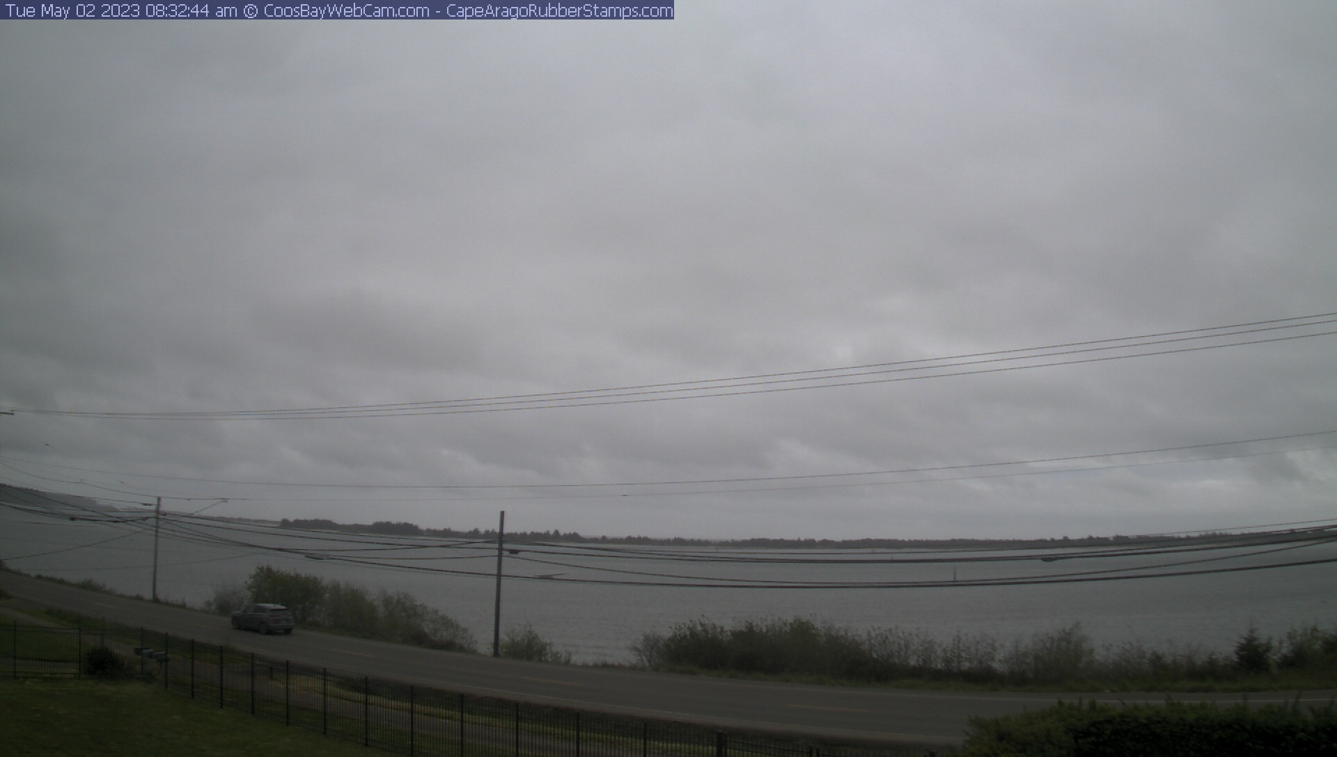
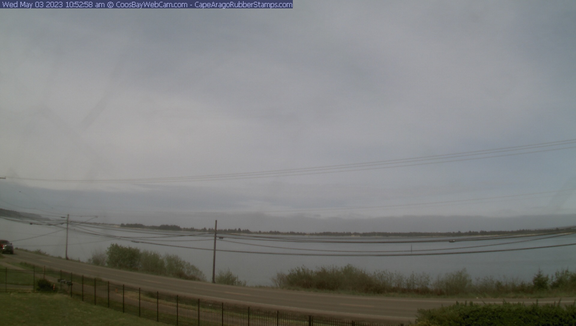
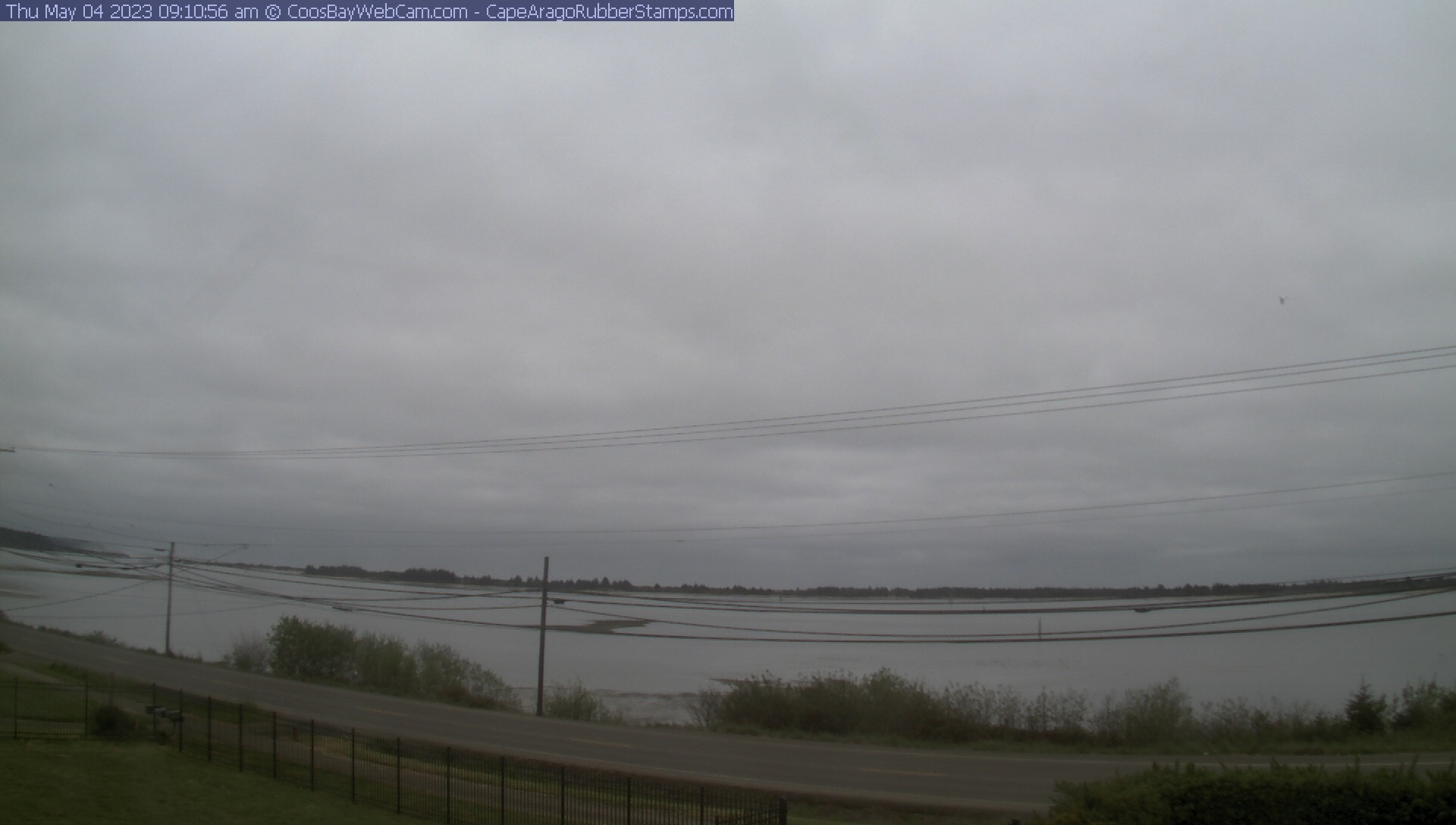
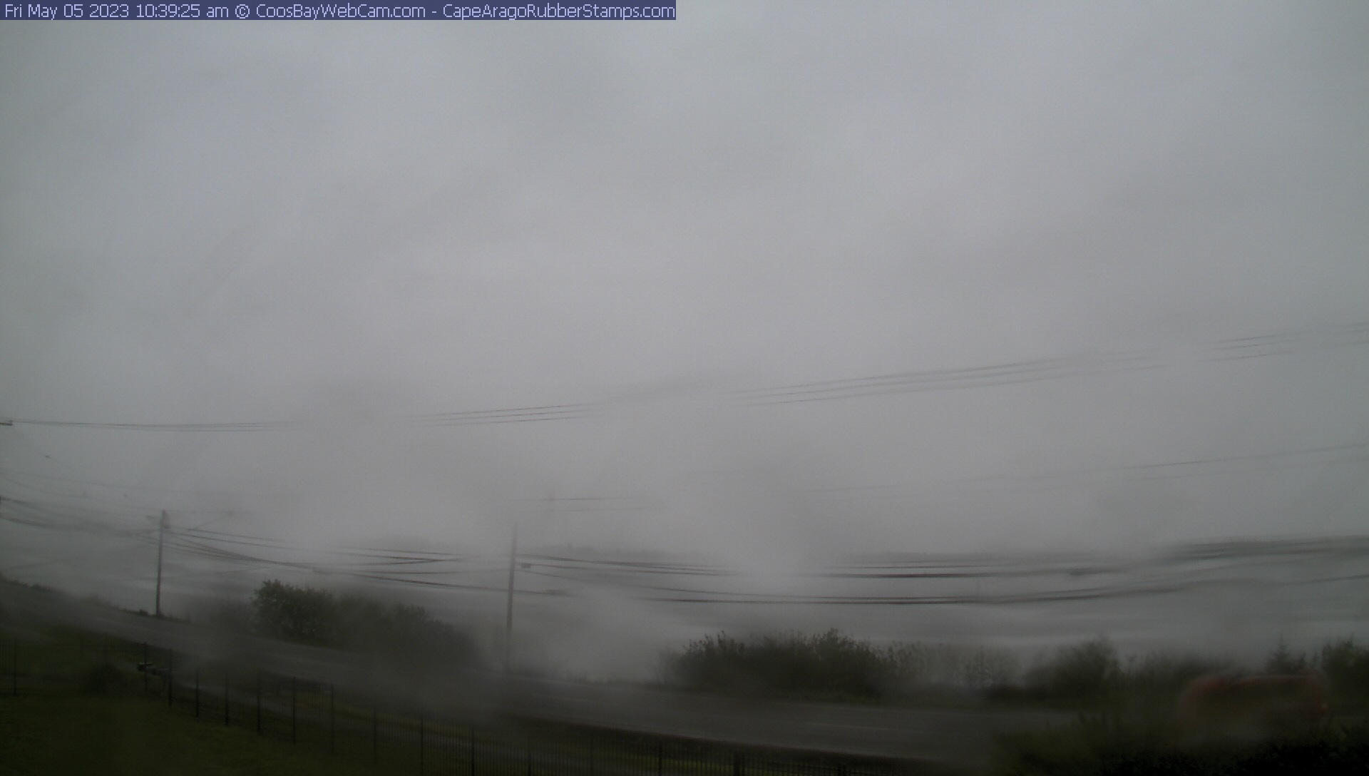
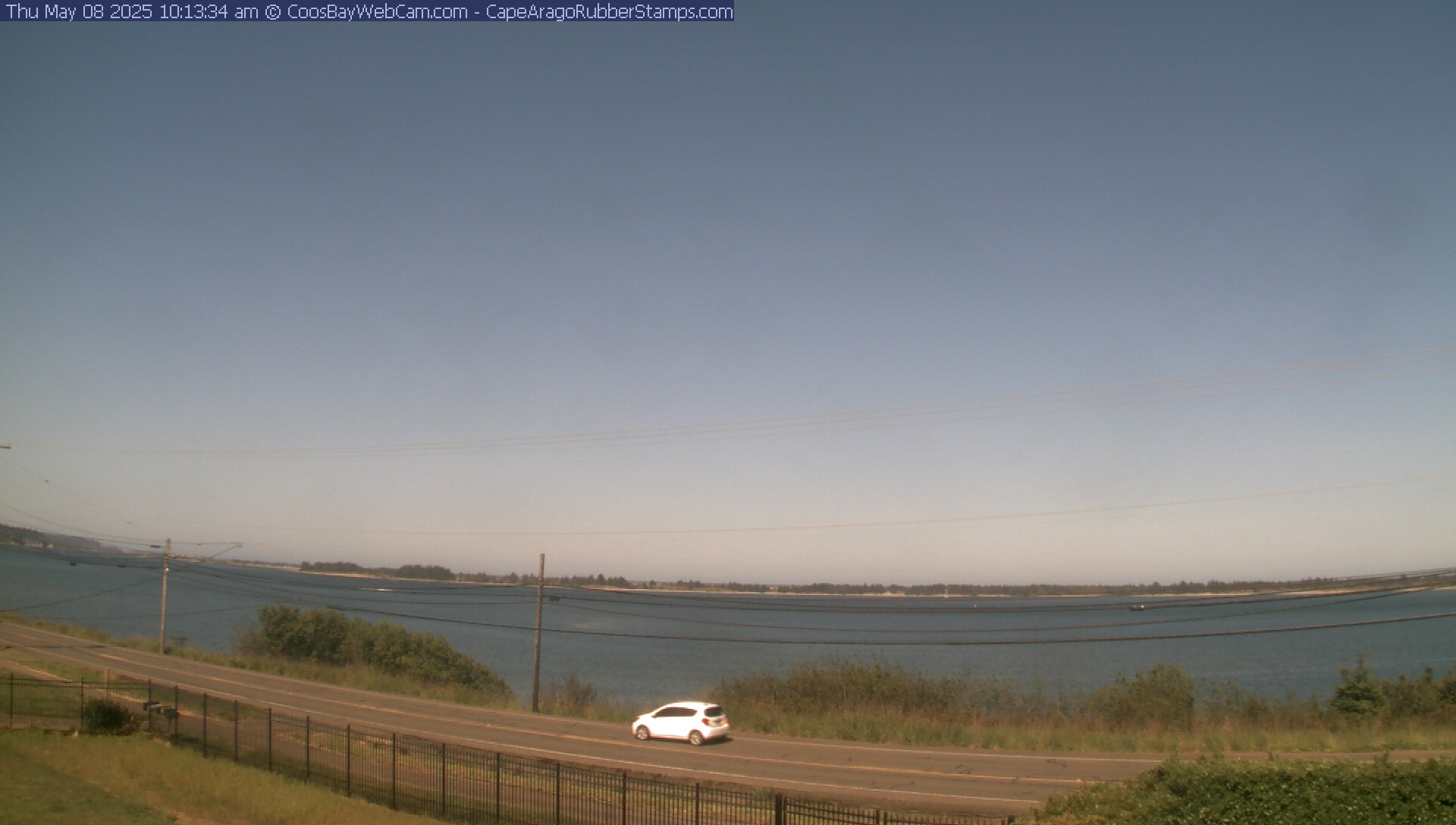
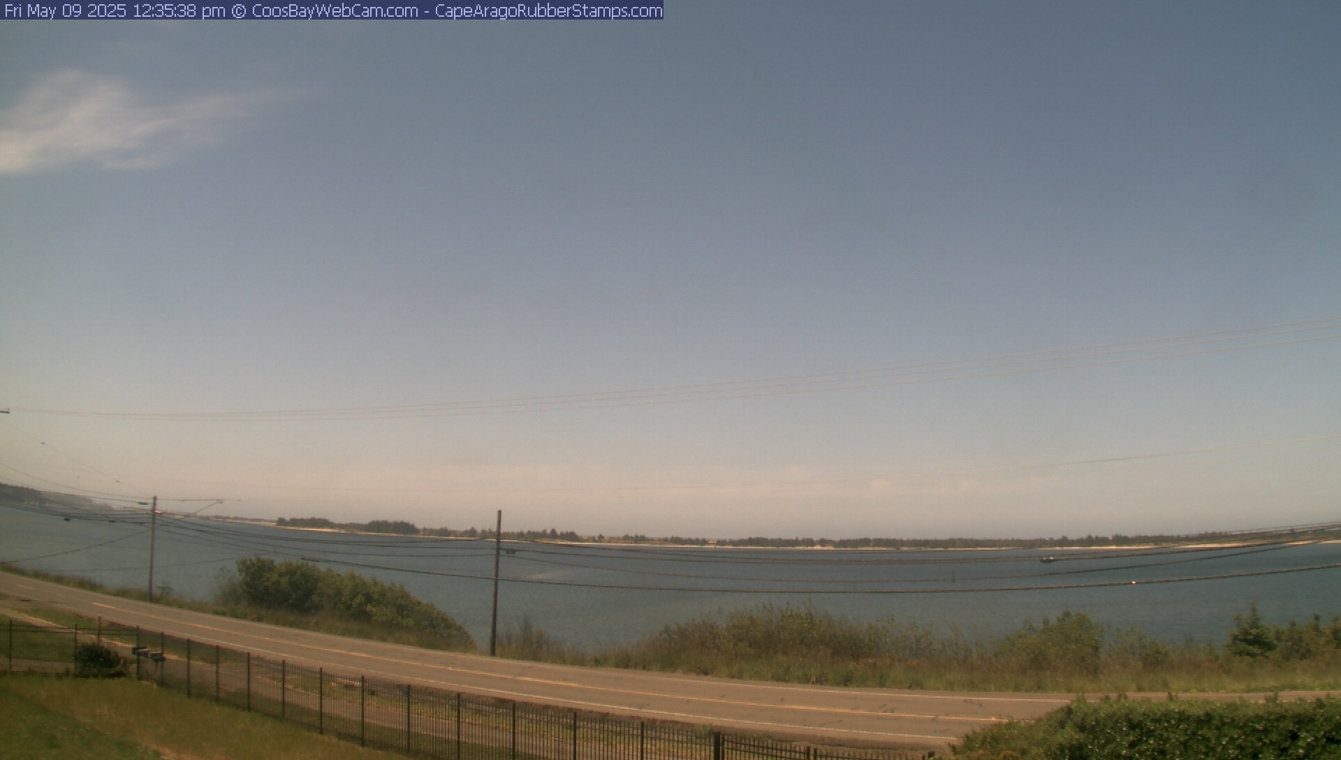
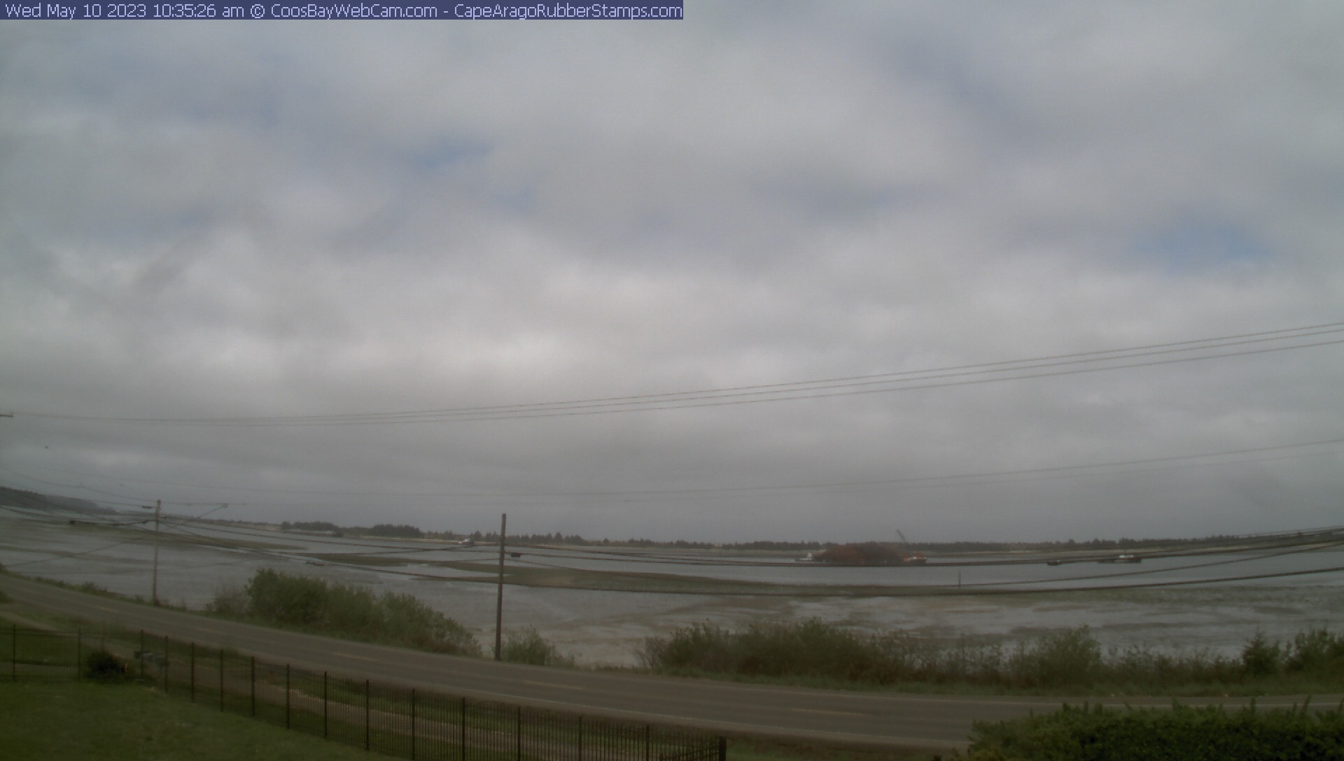
Coos Bay, Oregon, USA - 70.4 km da Civil Bend (historical): Vista della Coos Bay - Una bella vista panoramica sopra la Coos Bay.
Operatore: CoosBayWebcam.com
Gio. 15:01
Gio. 17:01
Gio. 19:01
Gio. 21:01
Gio. 23:01
Ven. 01:01
Ven. 02:01
Ven. 03:01
Ven. 05:01
Ven. 07:01
Ven. 10:01
Ven. 11:01
Ven. 12:01
Ven. 13:01
Ven. 14:01
Gio. 11.4.
Ven. 12.4.
Sab. 13.4.
Dom. 14.4.
Lun. 15.4.
Mar. 16.4.
Mer. 17.4.
Gio. 18.4.
Ven. 19.4.
Sab. 20.4.
Dom. 21.4.
Lun. 22.4.
Mar. 23.4.
Mer. 24.4.
Gio. 25.4.
Ven. 26.4.
Sab. 27.4.
Dom. 28.4.
Lun. 29.4.
Mar. 30.4.
Mer. 1.5.
Gio. 2.5.
Ven. 3.5.
Sab. 4.5.
Dom. 5.5.
Lun. 6.5.
Mar. 7.5.
Mer. 8.5.
Gio. 9.5.
Ven. 10.5.
Operatore: CoosBayWebcam.com

Gio. 15:01
Gio. 17:01
Gio. 19:01
Gio. 21:01
Gio. 23:01

Ven. 01:01

Ven. 02:01

Ven. 03:01
Ven. 05:01

Ven. 07:01

Ven. 10:01
Ven. 11:01
Ven. 12:01
Ven. 13:01

Ven. 14:01
Gio. 11.4.

Ven. 12.4.
Sab. 13.4.

Dom. 14.4.
Lun. 15.4.
Mar. 16.4.
Mer. 17.4.

Gio. 18.4.
Ven. 19.4.

Sab. 20.4.

Dom. 21.4.
Lun. 22.4.

Mar. 23.4.
Mer. 24.4.
Gio. 25.4.
Ven. 26.4.

Sab. 27.4.
Dom. 28.4.
Lun. 29.4.

Mar. 30.4.
Mer. 1.5.
Gio. 2.5.
Ven. 3.5.
Sab. 4.5.
Dom. 5.5.

Lun. 6.5.

Mar. 7.5.
Mer. 8.5.
Gio. 9.5.
Ven. 10.5.

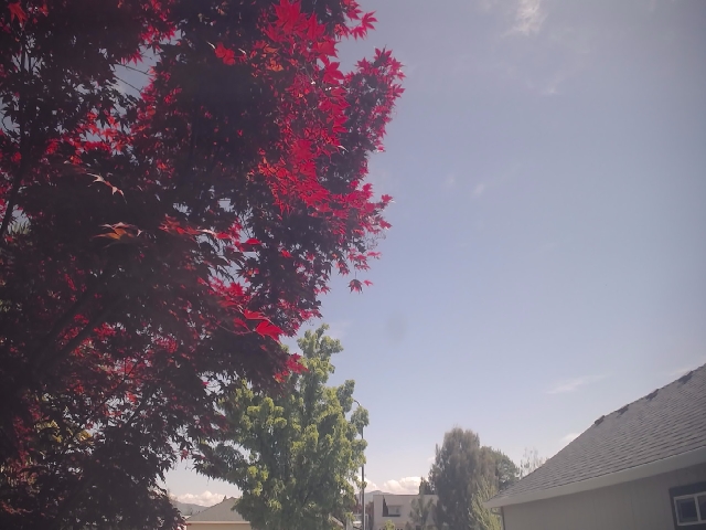
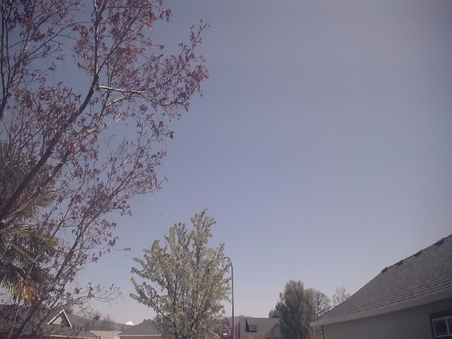
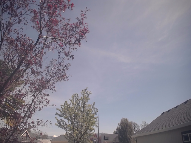
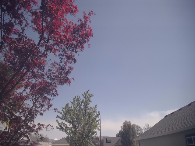
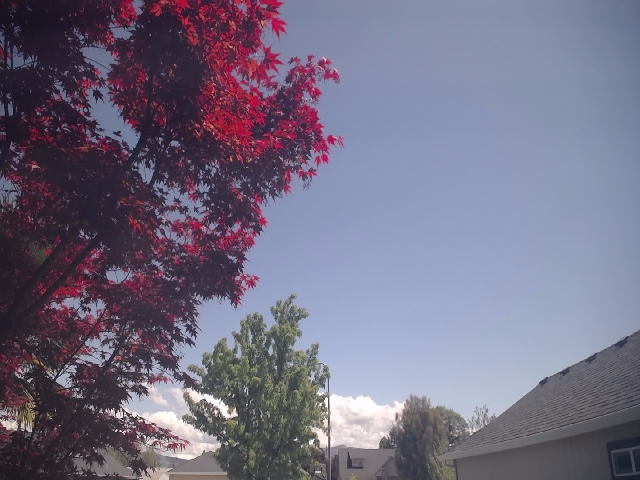
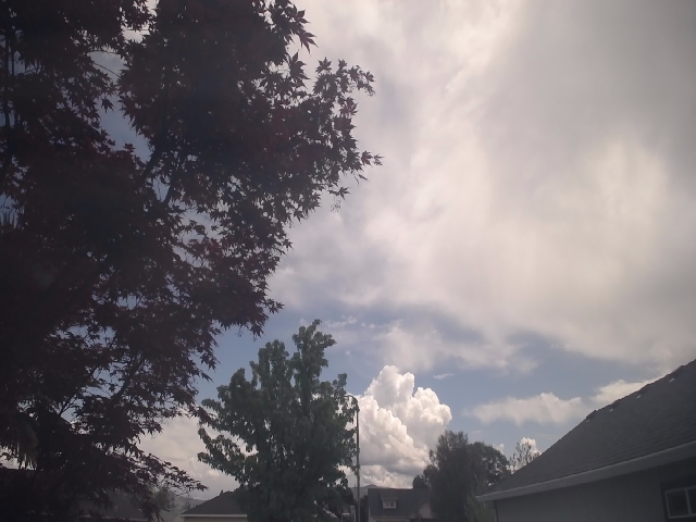
Medford, Oregon, USA - 97.7 km da Civil Bend (historical): Meteo Medford - Una webcam a Medford, Oregon, con dati meteo aggiornati.
Operatore: Ryan's Weather Website - Medford, Oregon
Gio. 14:57
Gio. 15:57
Gio. 16:57
Gio. 17:57
Gio. 18:57
Gio. 19:57
Gio. 20:57
Gio. 21:57
Gio. 22:57
Gio. 23:57
Ven. 00:57
Ven. 01:57
Ven. 02:57
Ven. 03:57
Ven. 04:57
Ven. 05:57
Ven. 06:57
Ven. 07:57
Ven. 08:57
Ven. 09:57
Ven. 10:57
Ven. 11:57
Ven. 12:57
Ven. 13:57
Gio. 11.4.
Ven. 12.4.
Sab. 13.4.
Dom. 14.4.
Lun. 15.4.
Mar. 16.4.
Mer. 17.4.
Gio. 18.4.
Ven. 19.4.
Sab. 20.4.
Dom. 21.4.
Lun. 22.4.
Mar. 23.4.
Mer. 24.4.
Gio. 25.4.
Ven. 26.4.
Sab. 27.4.
Dom. 28.4.
Lun. 29.4.
Mar. 30.4.
Mer. 1.5.
Gio. 2.5.
Ven. 3.5.
Sab. 4.5.
Dom. 5.5.
Lun. 6.5.
Mar. 7.5.
Mer. 8.5.
Gio. 9.5.
Ven. 10.5.
Operatore: Ryan's Weather Website - Medford, Oregon
Gio. 14:57
Gio. 15:57
Gio. 16:57
Gio. 17:57
Gio. 18:57
Gio. 19:57

Gio. 20:57

Gio. 21:57

Gio. 22:57

Gio. 23:57

Ven. 00:57

Ven. 01:57

Ven. 02:57

Ven. 03:57

Ven. 04:57

Ven. 05:57
Ven. 06:57
Ven. 07:57
Ven. 08:57
Ven. 09:57
Ven. 10:57
Ven. 11:57
Ven. 12:57
Ven. 13:57

Gio. 11.4.
Ven. 12.4.
Sab. 13.4.
Dom. 14.4.
Lun. 15.4.

Mar. 16.4.
Mer. 17.4.
Gio. 18.4.

Ven. 19.4.
Sab. 20.4.
Dom. 21.4.
Lun. 22.4.
Mar. 23.4.
Mer. 24.4.
Gio. 25.4.
Ven. 26.4.

Sab. 27.4.
Dom. 28.4.
Lun. 29.4.
Mar. 30.4.
Mer. 1.5.
Gio. 2.5.

Ven. 3.5.
Sab. 4.5.
Dom. 5.5.

Lun. 6.5.
Mar. 7.5.
Mer. 8.5.
Gio. 9.5.
Ven. 10.5.

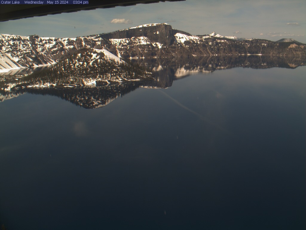
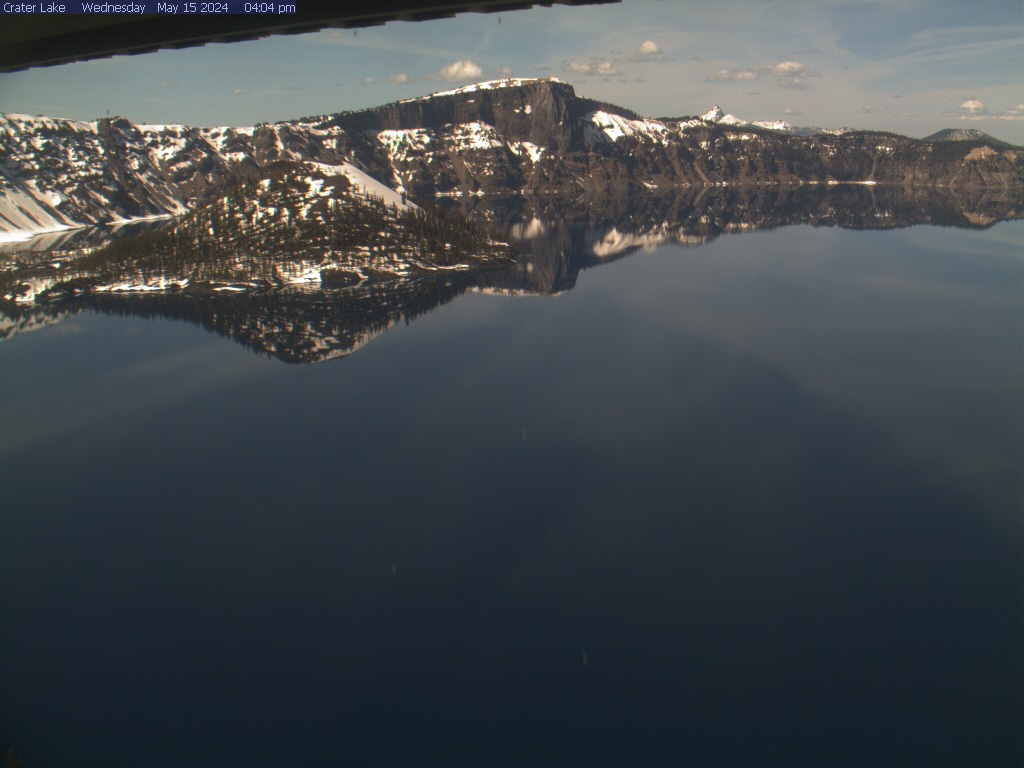
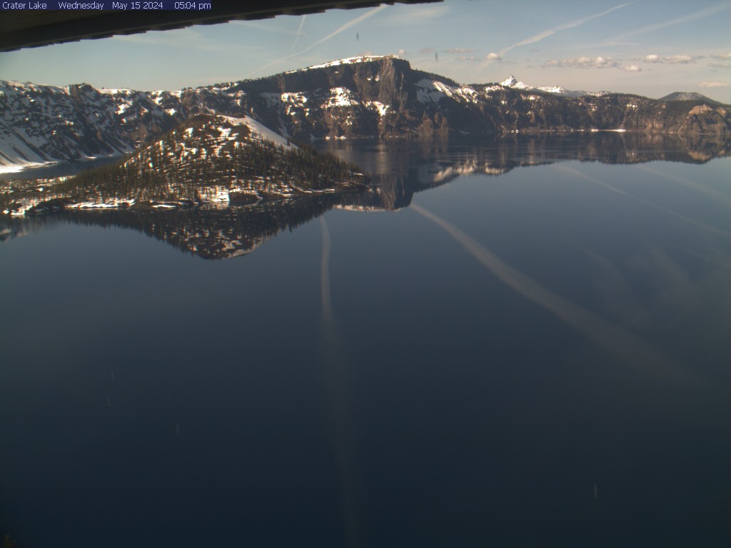
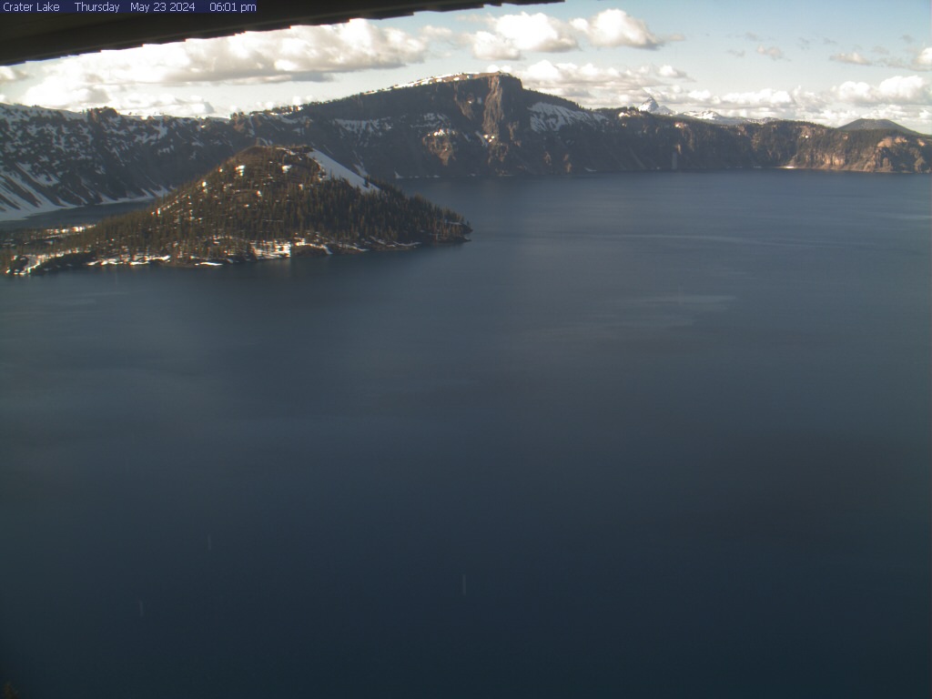
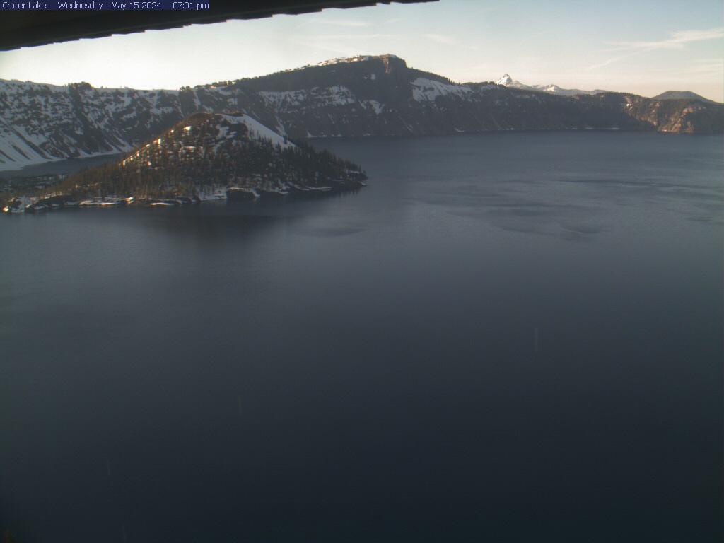
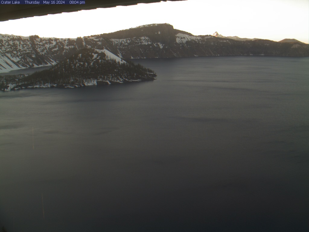
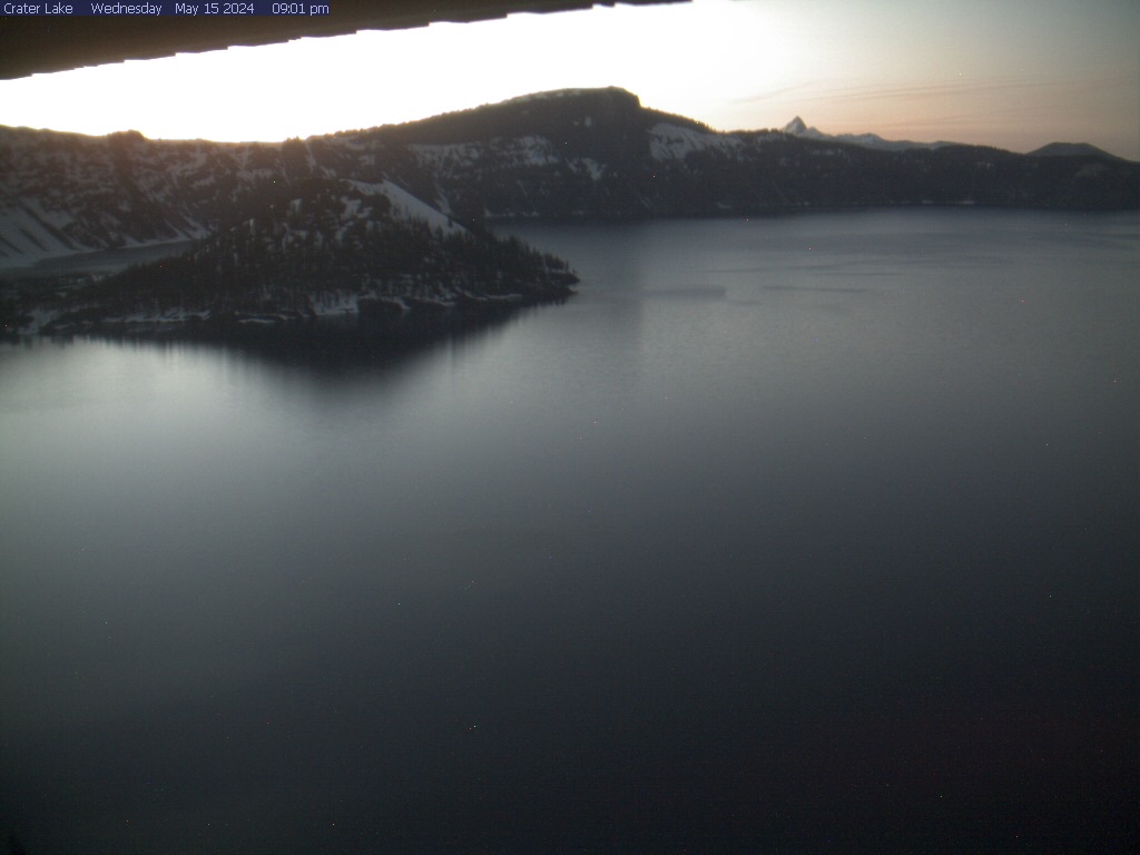
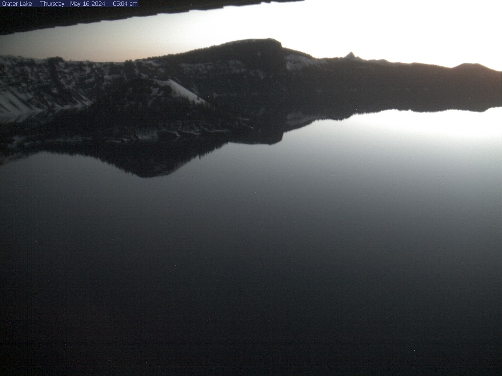
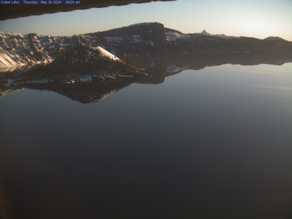
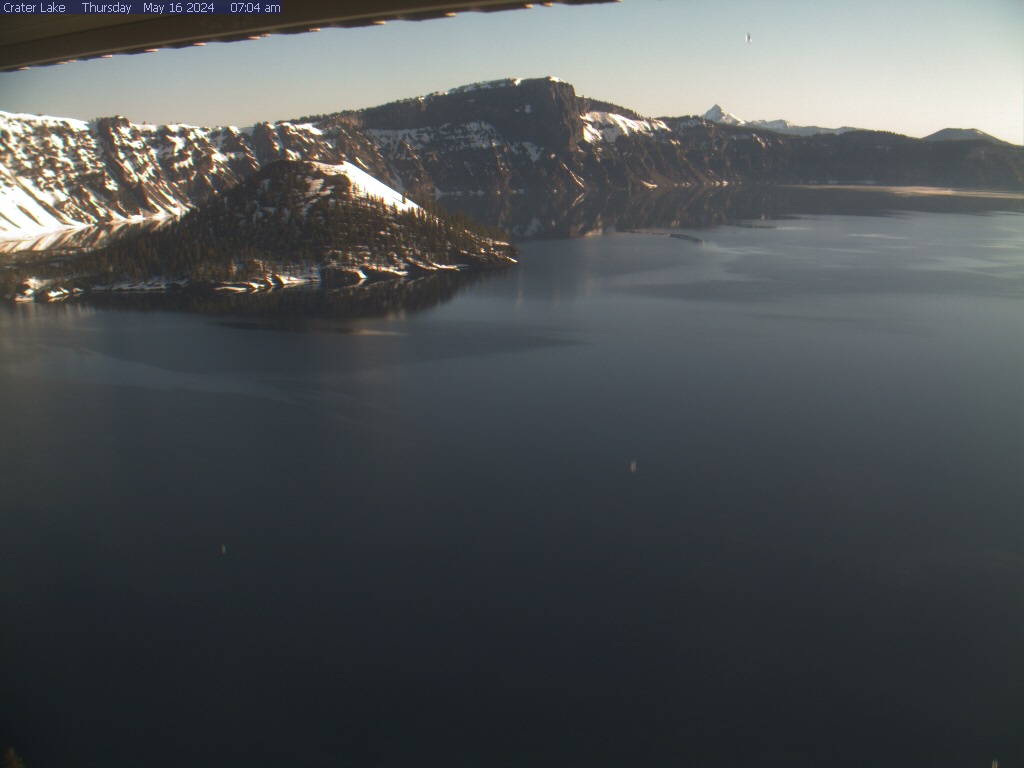
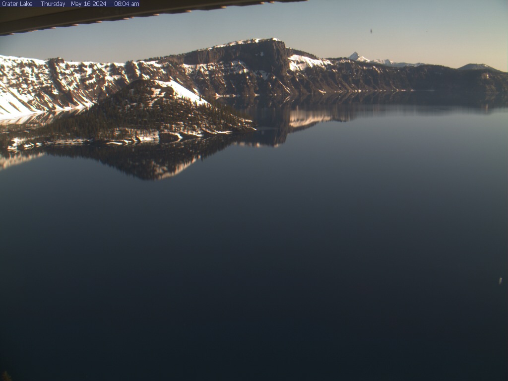
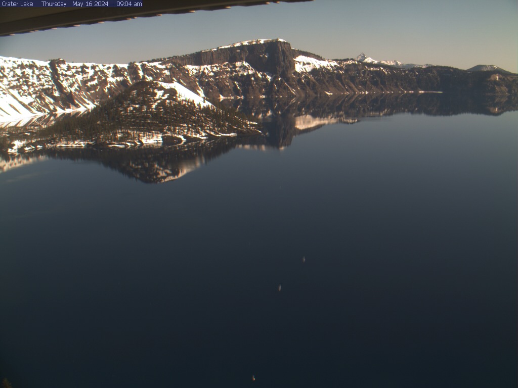
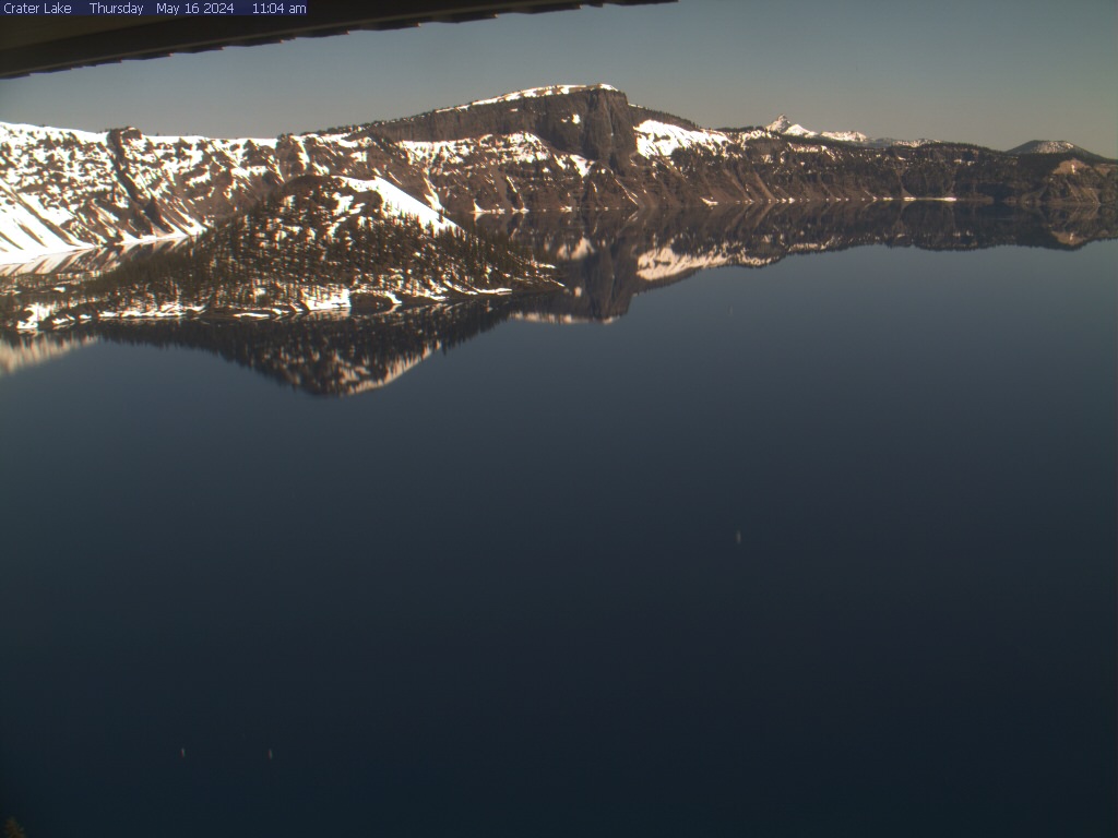
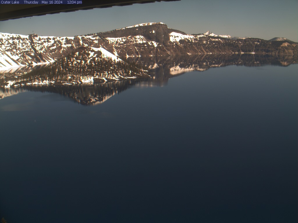
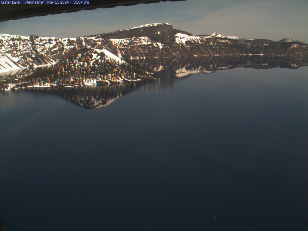
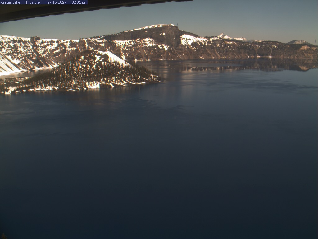
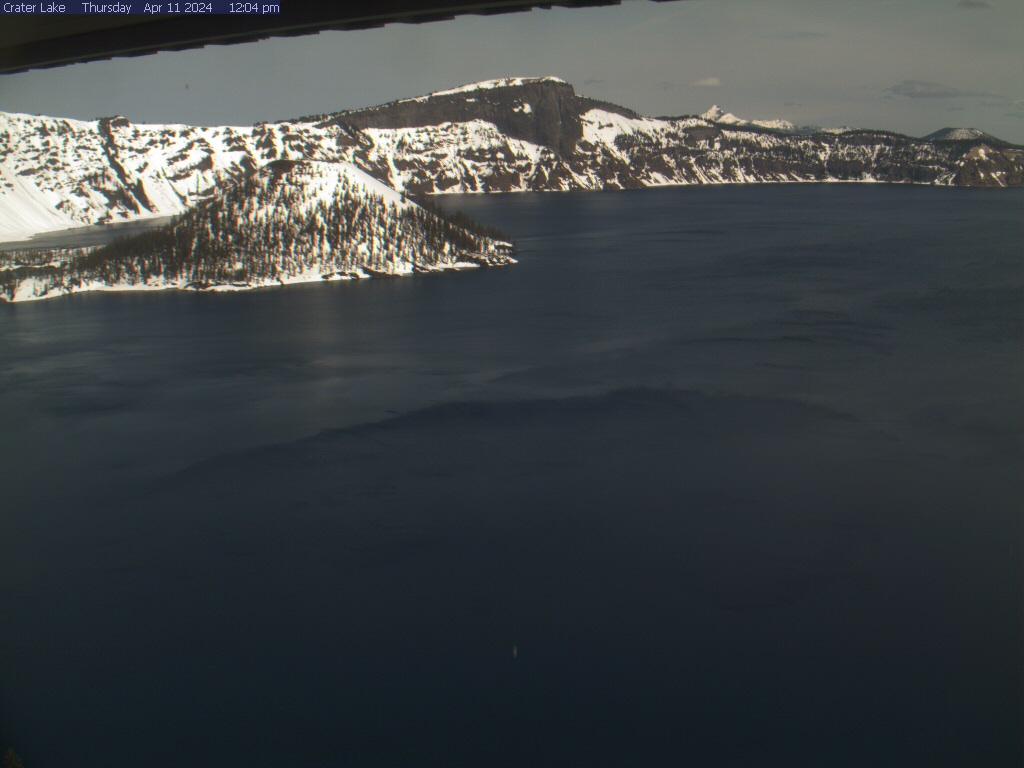
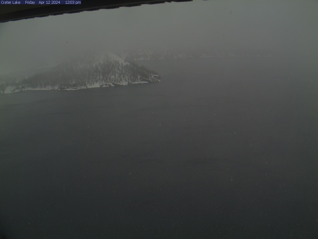
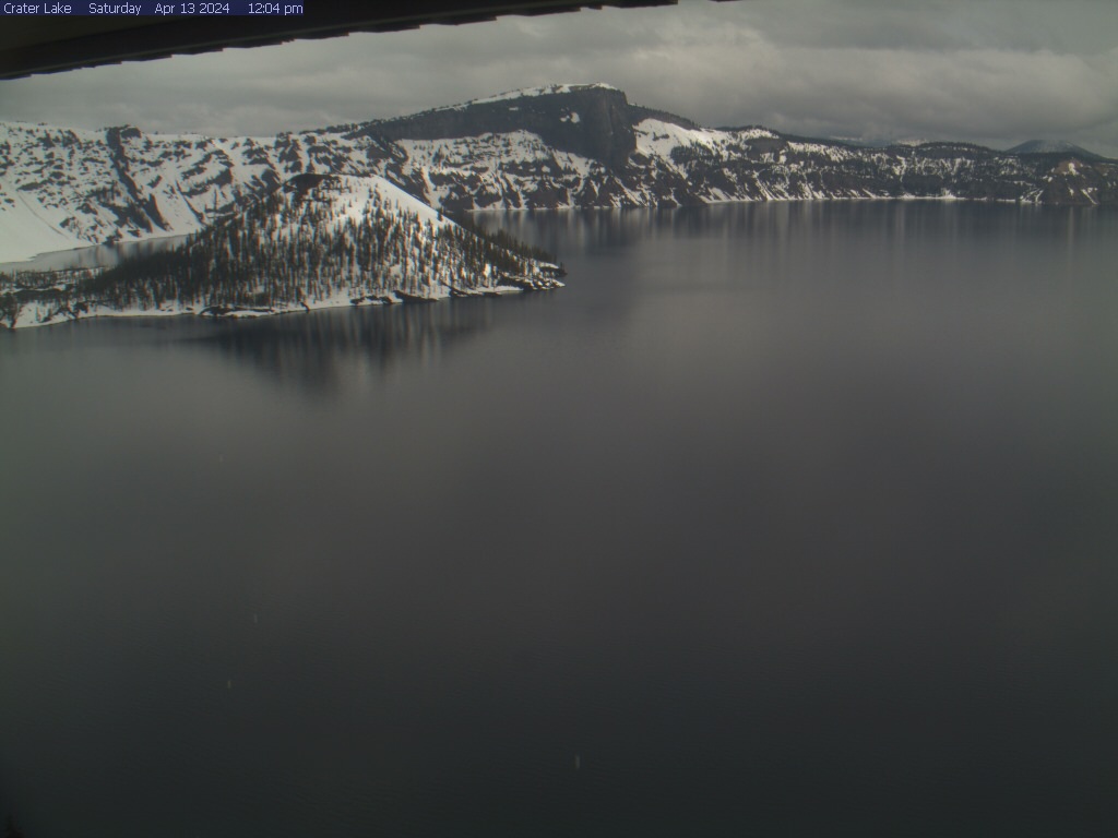
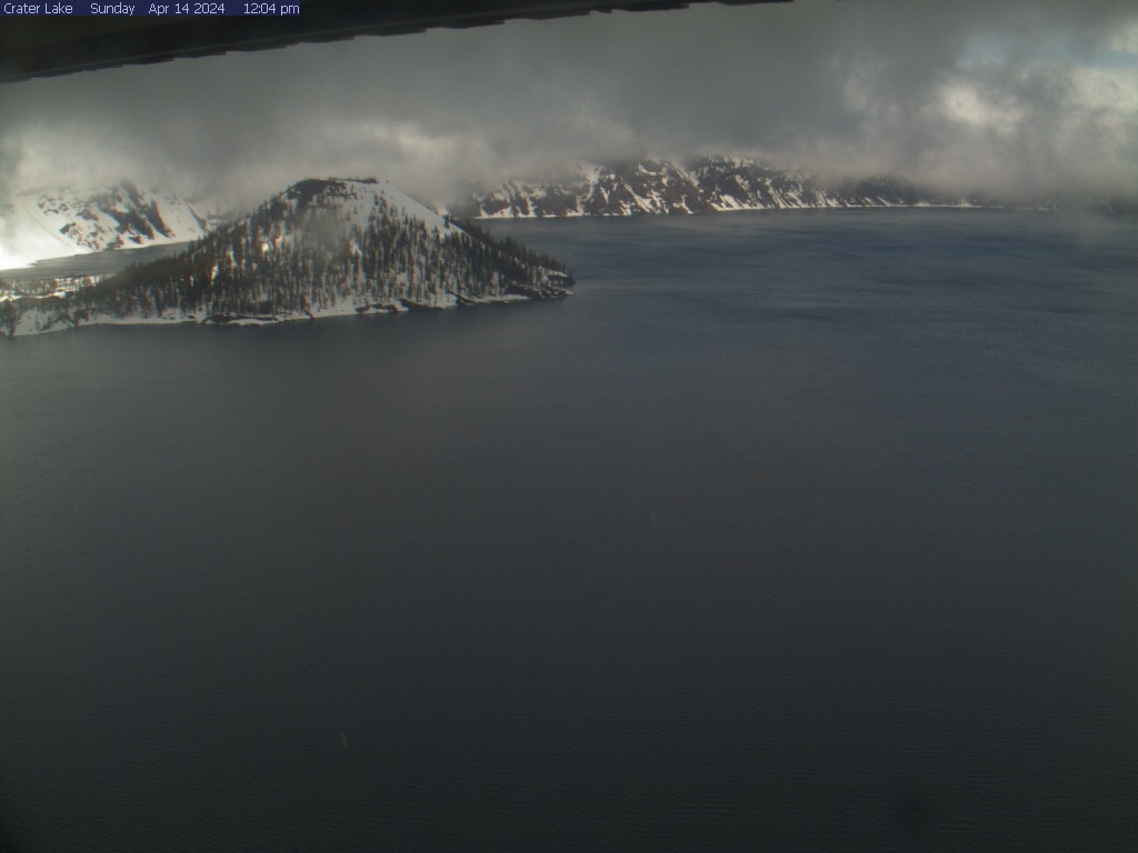
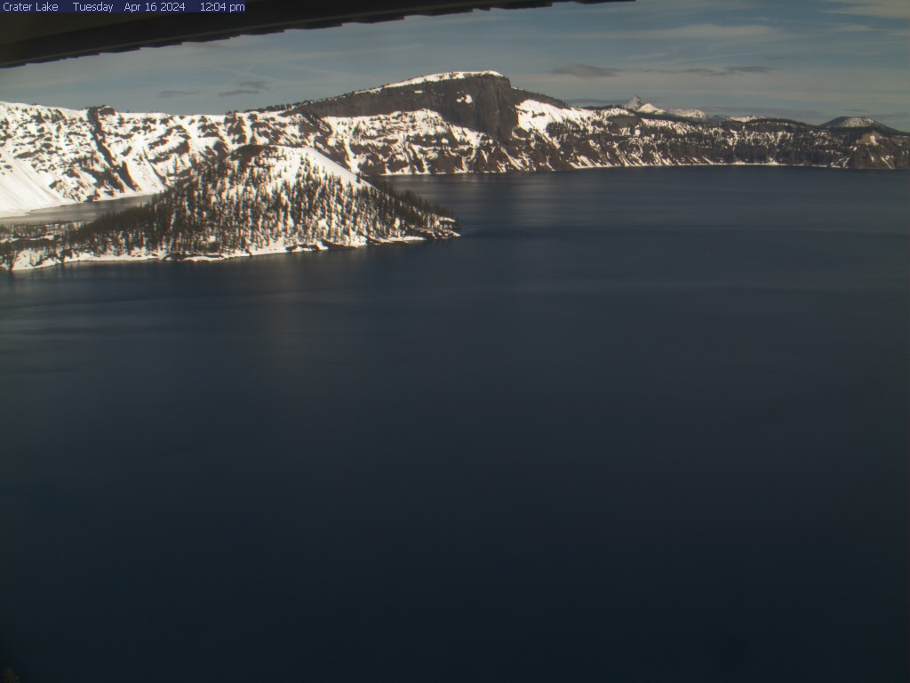
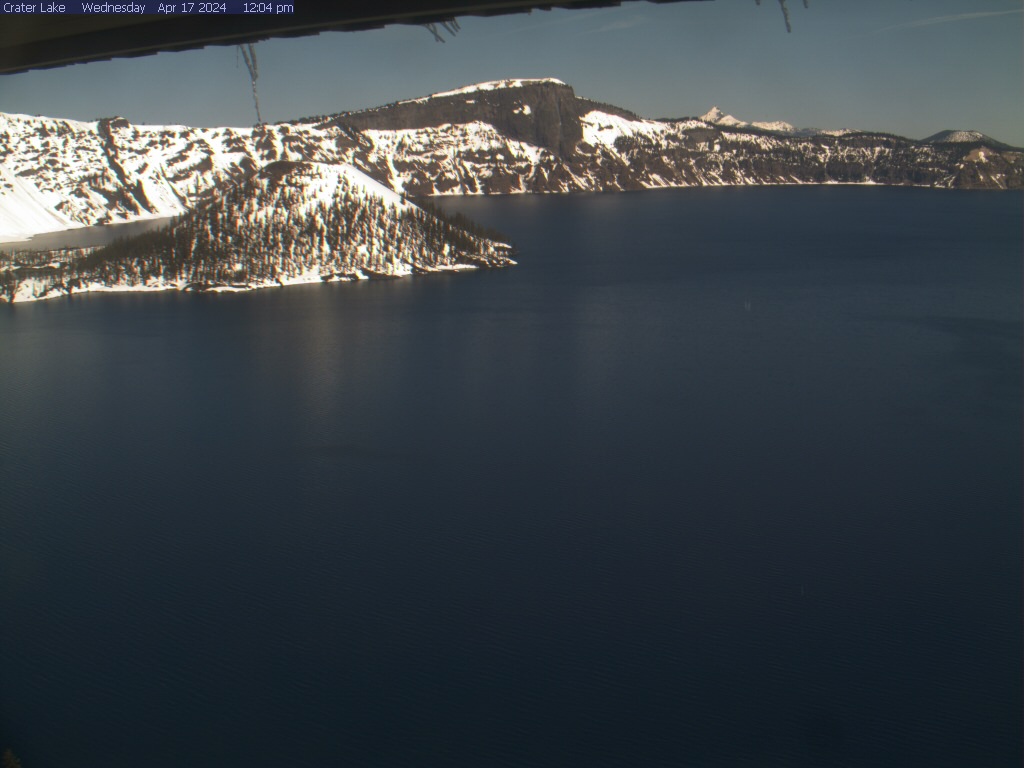
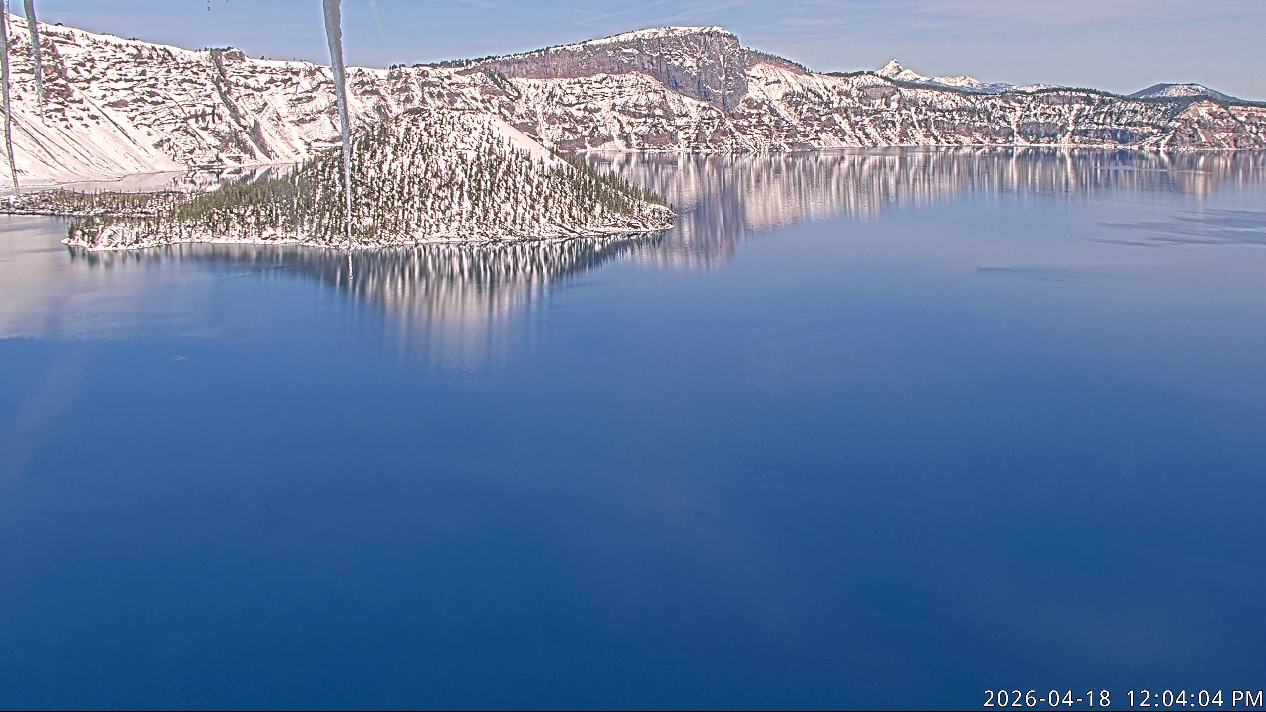
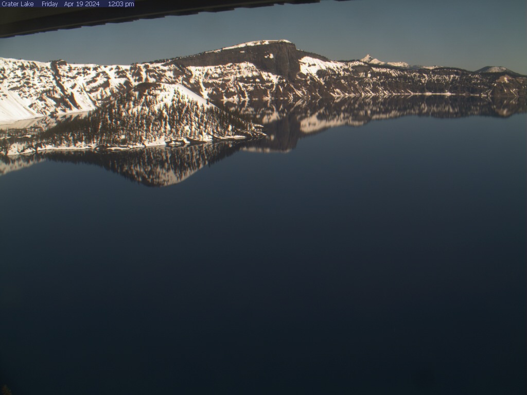
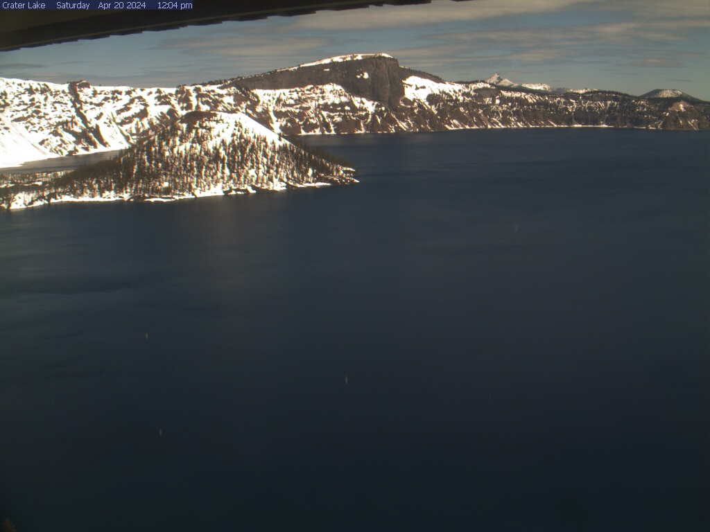
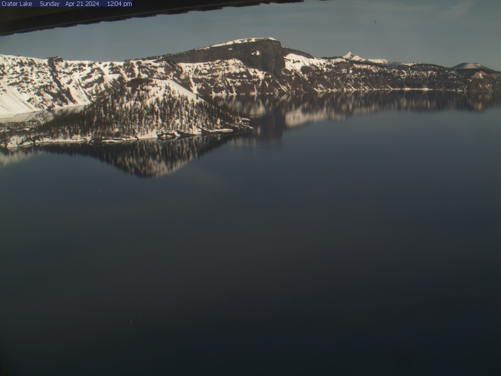
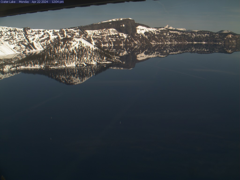
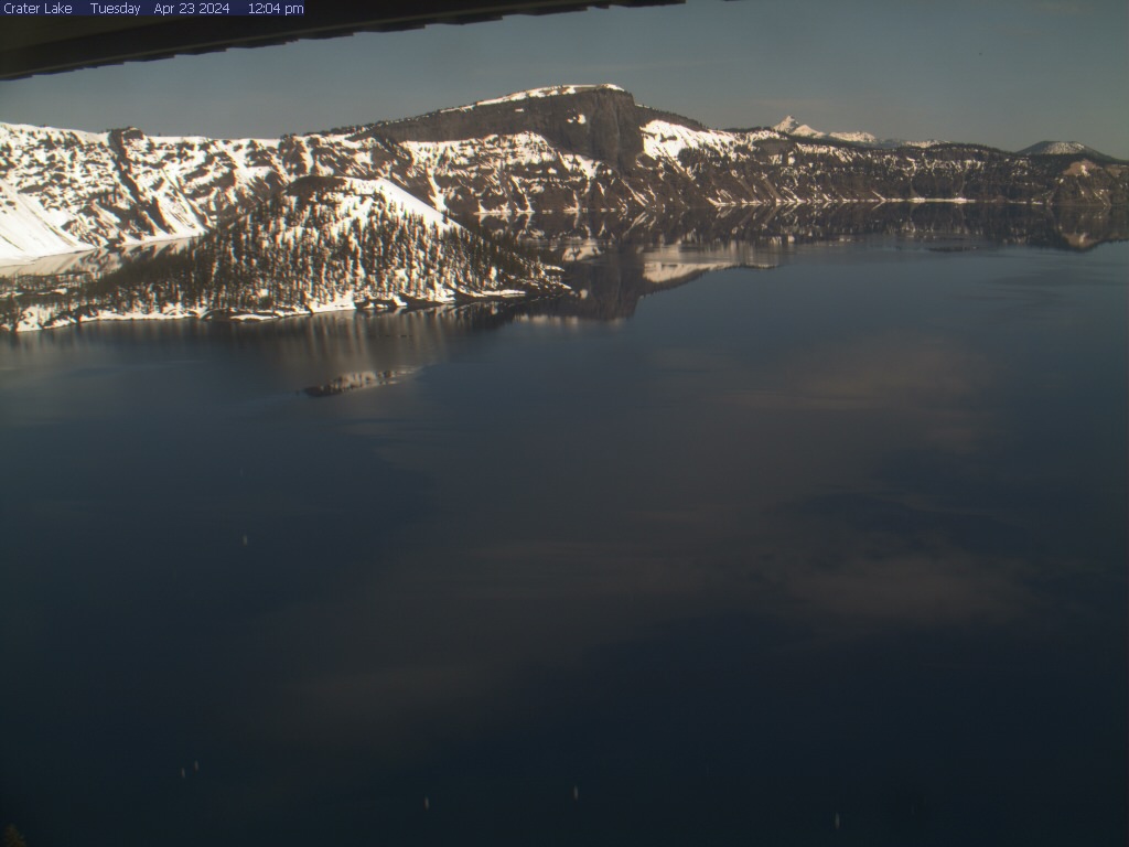
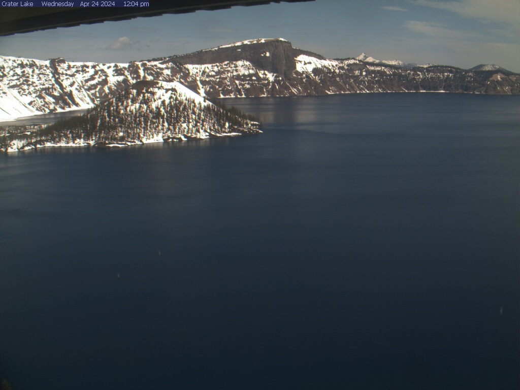
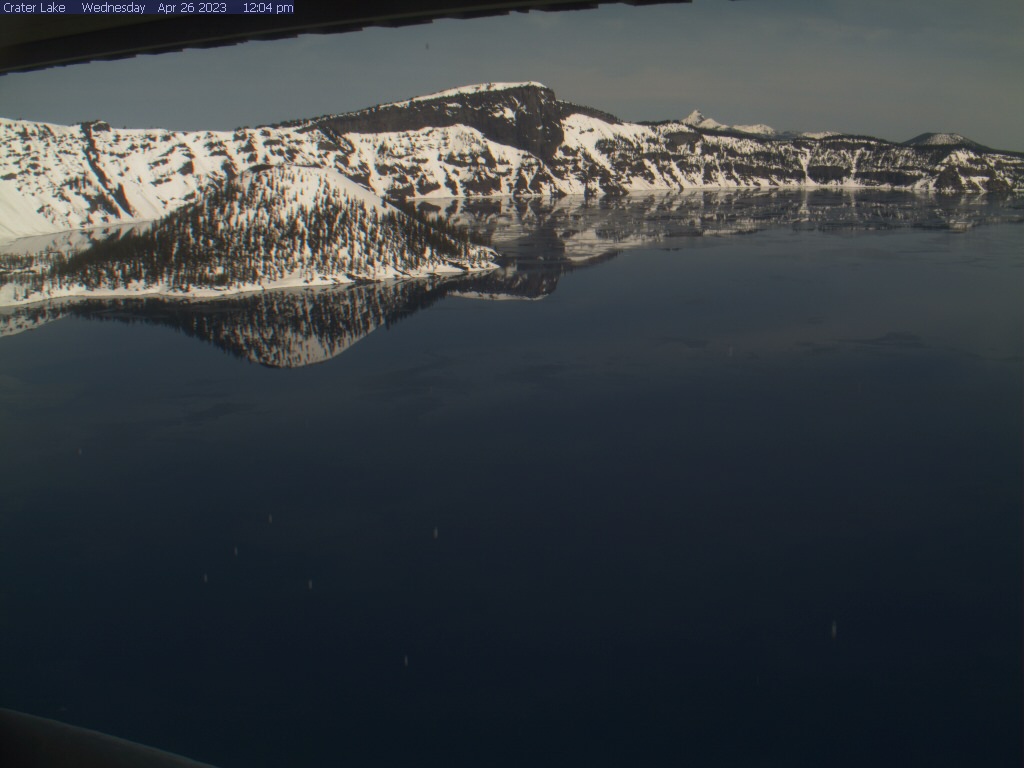
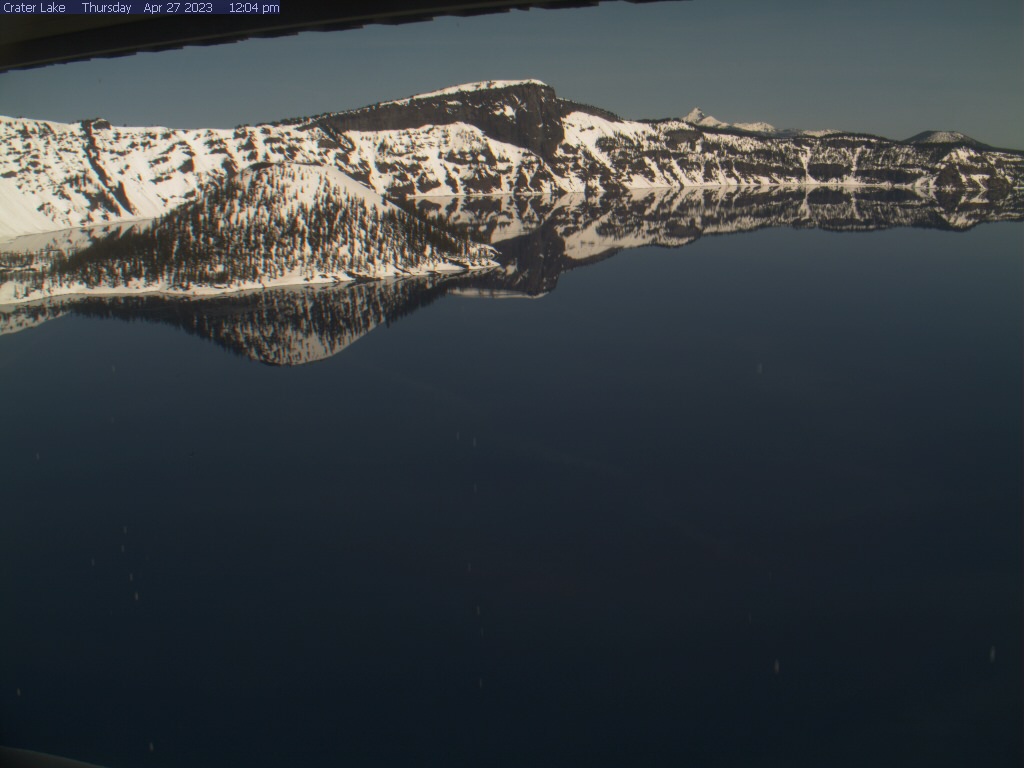
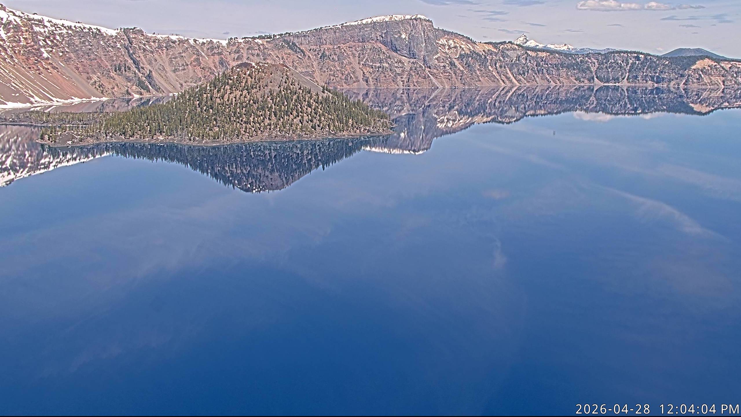
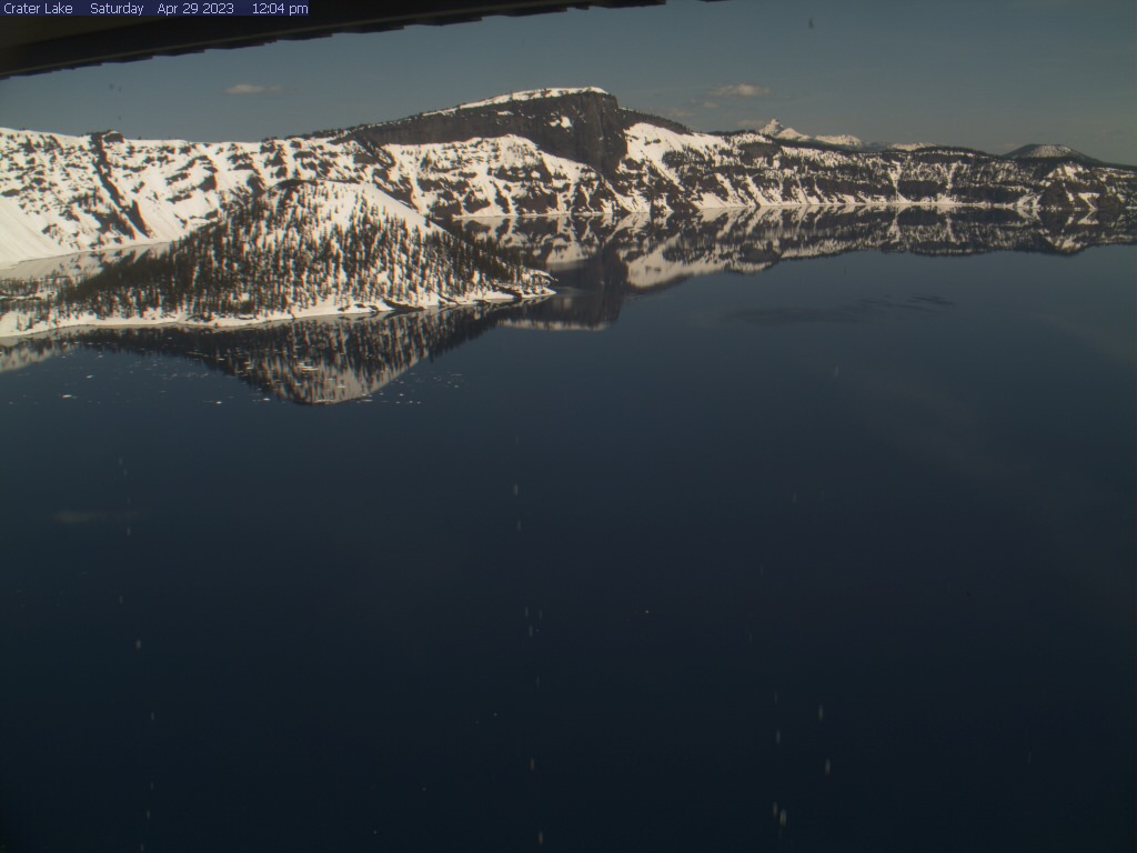
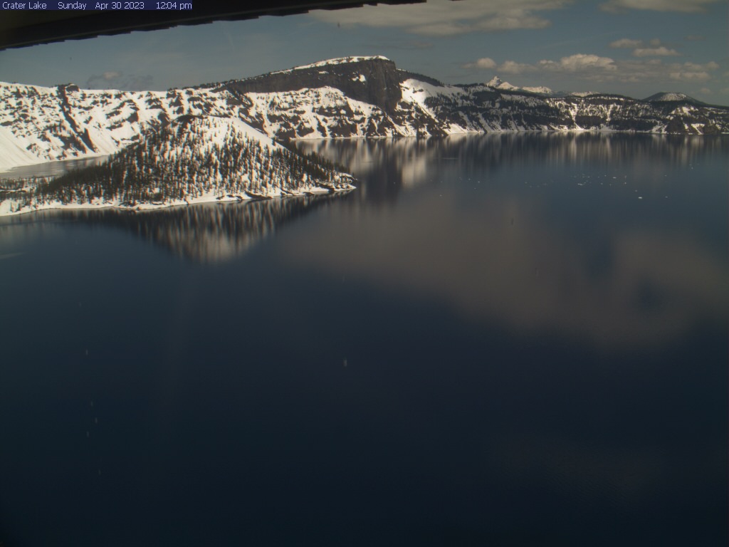
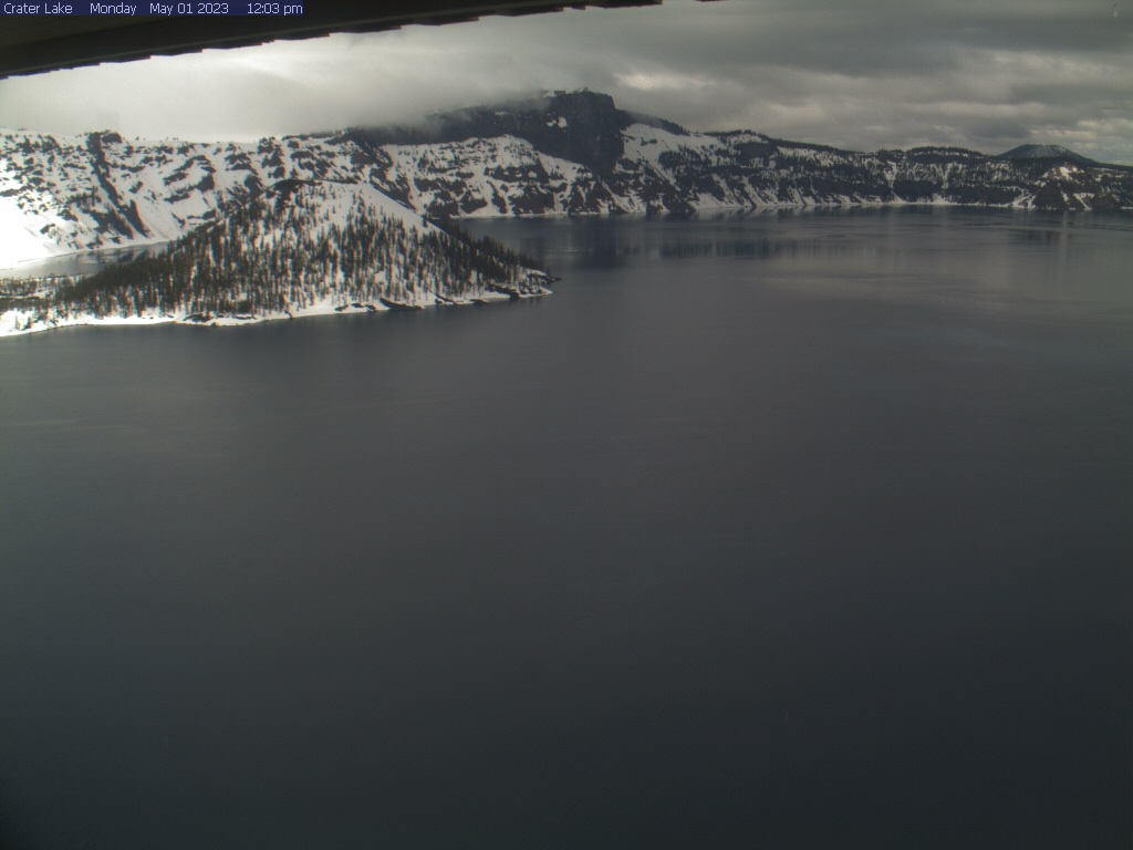
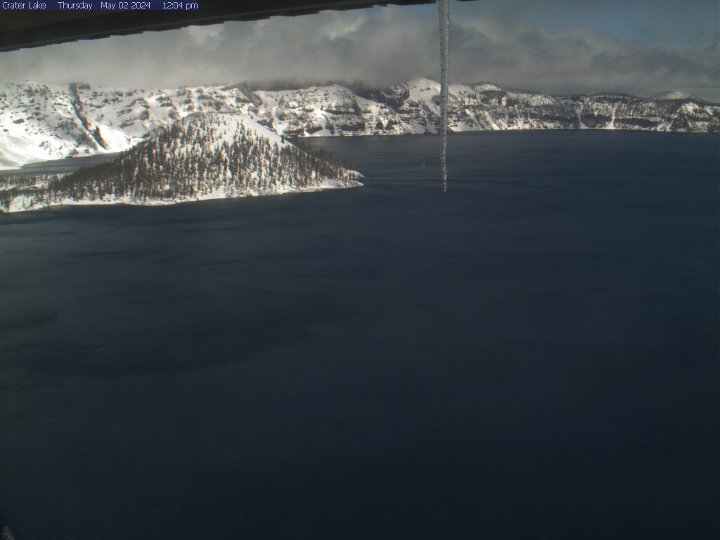
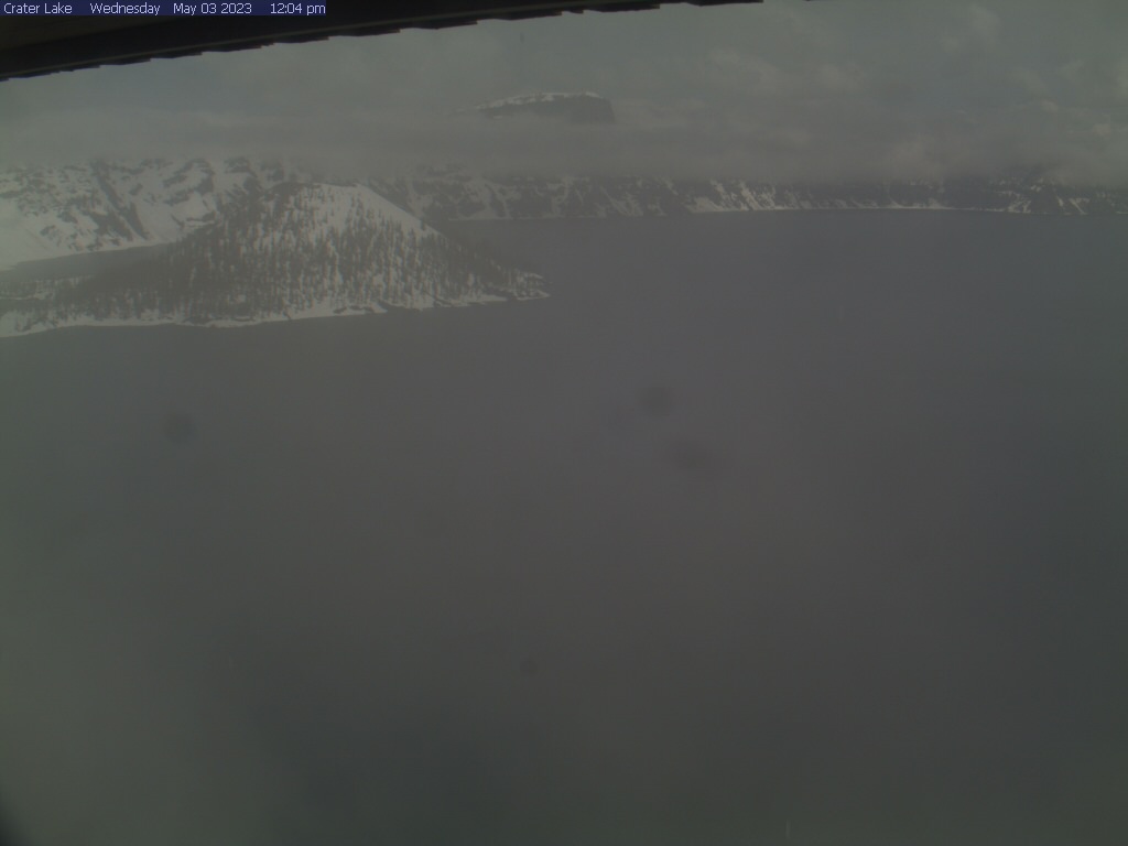
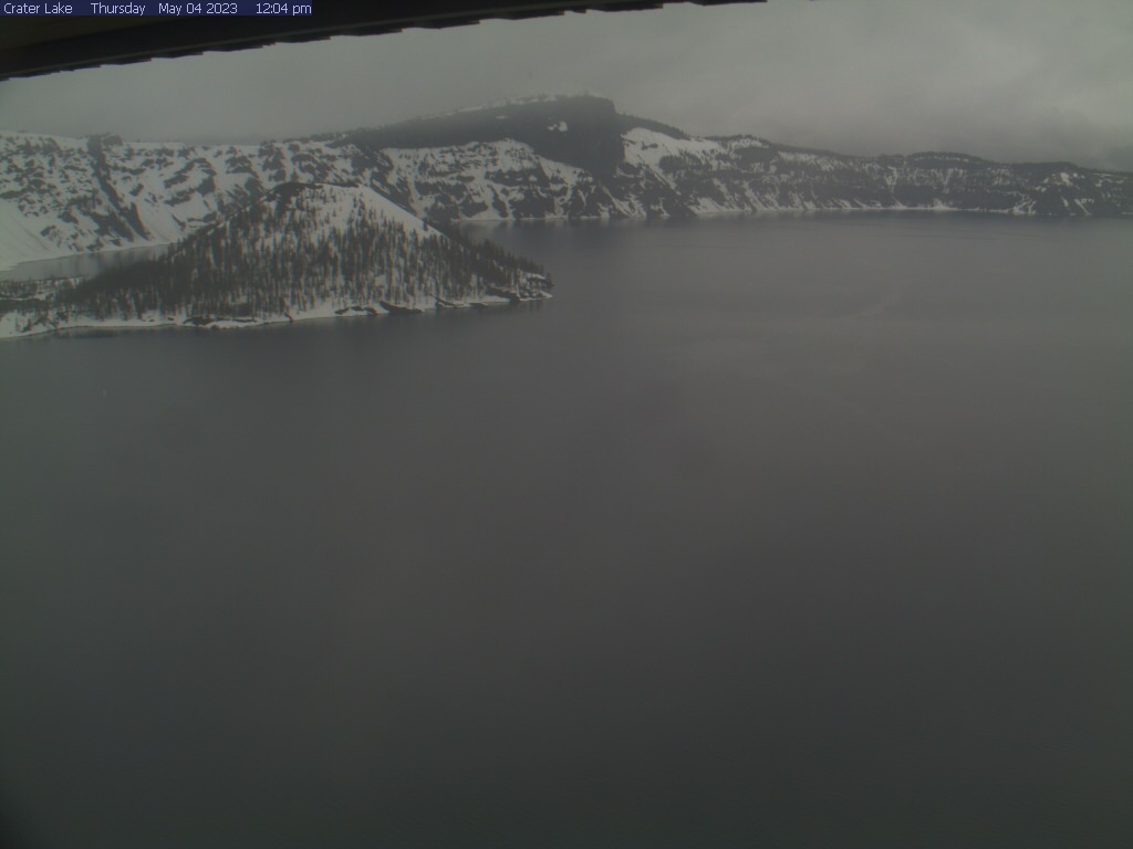
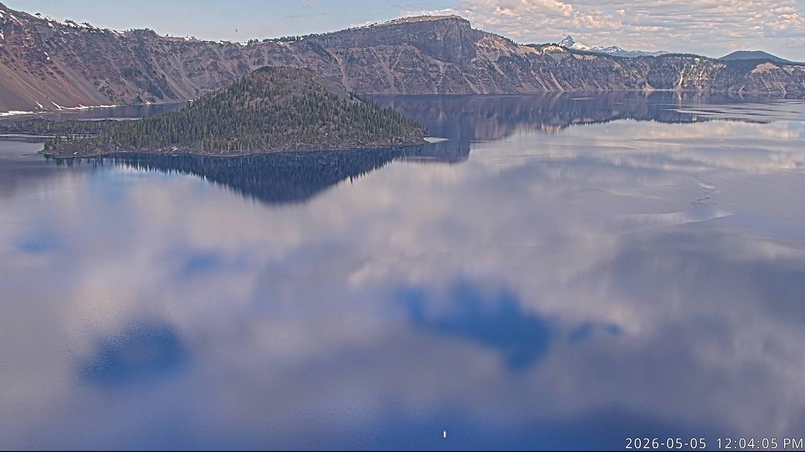
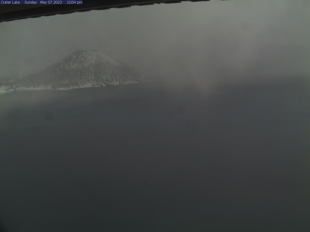
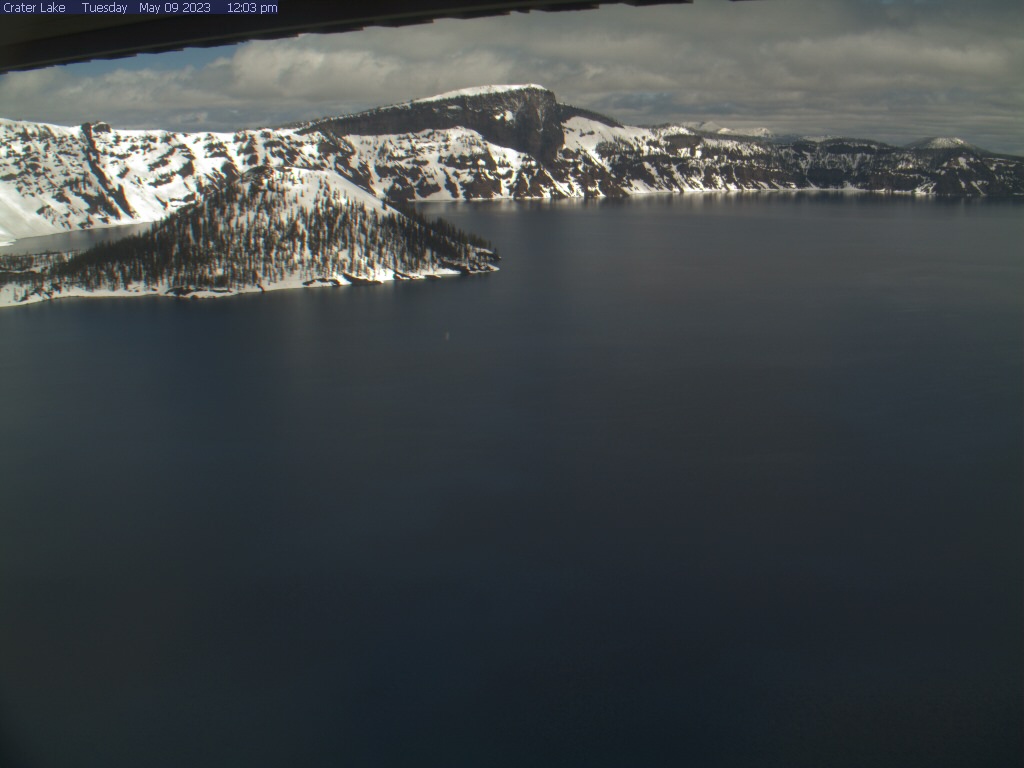
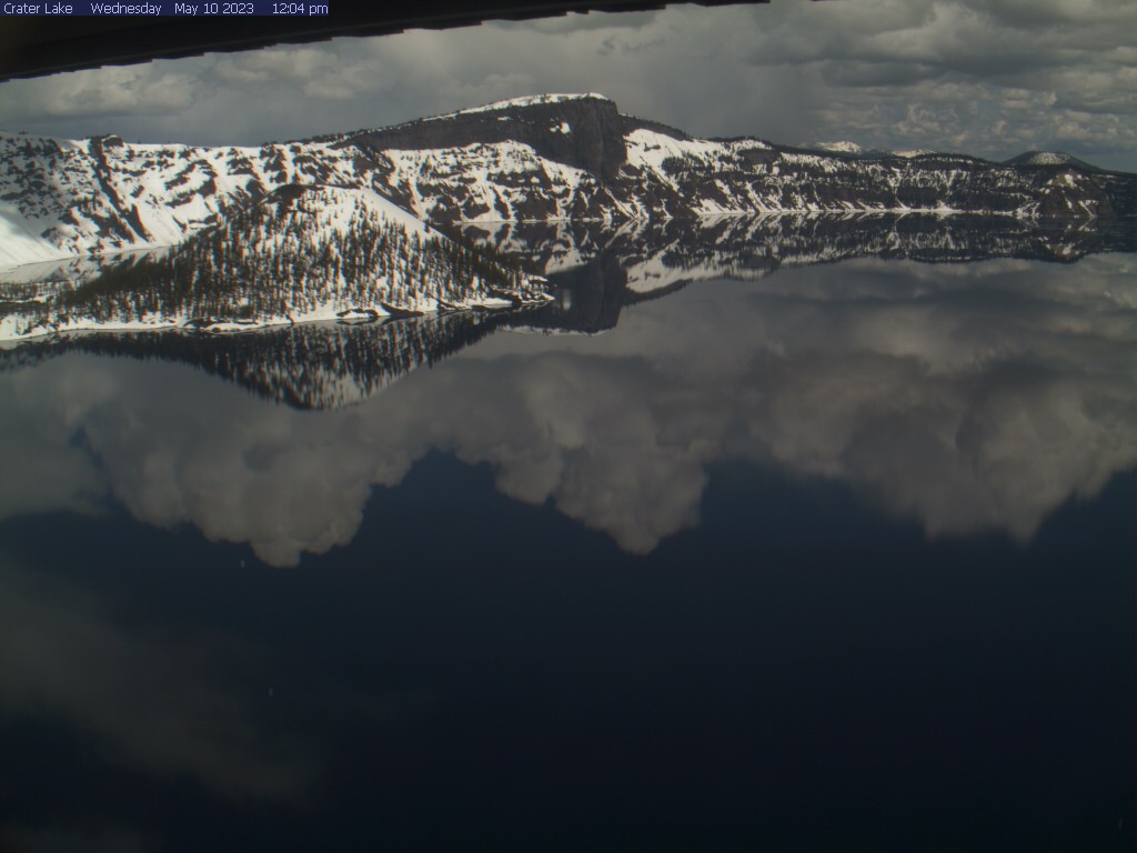
Crater Lake National Park, Oregon, USA - 105 km da Civil Bend (historical): Crater Lake - Vista del Crater Lake con Wizard Island e Llao Rock dal Sinnott Memorial Overlook, Crater Lake National Park.
Operatore: U.S. National Park Service
Gio. 15:05
Gio. 16:05
Gio. 17:05
Gio. 18:05
Gio. 19:05
Gio. 20:05
Gio. 21:05
Gio. 22:05
Gio. 23:05
Ven. 00:05
Ven. 01:05
Ven. 02:05
Ven. 03:05
Ven. 04:05
Ven. 05:05
Ven. 06:05
Ven. 07:05
Ven. 08:05
Ven. 09:05
Ven. 10:05
Ven. 11:05
Ven. 12:05
Ven. 13:05
Ven. 14:05
Gio. 11.4.
Ven. 12.4.
Sab. 13.4.
Dom. 14.4.
Lun. 15.4.
Mar. 16.4.
Mer. 17.4.
Gio. 18.4.
Ven. 19.4.
Sab. 20.4.
Dom. 21.4.
Lun. 22.4.
Mar. 23.4.
Mer. 24.4.
Gio. 25.4.
Ven. 26.4.
Sab. 27.4.
Dom. 28.4.
Lun. 29.4.
Mar. 30.4.
Mer. 1.5.
Gio. 2.5.
Ven. 3.5.
Sab. 4.5.
Dom. 5.5.
Lun. 6.5.
Mar. 7.5.
Mer. 8.5.
Gio. 9.5.
Ven. 10.5.
Operatore: U.S. National Park Service
Gio. 15:05
Gio. 16:05
Gio. 17:05
Gio. 18:05
Gio. 19:05
Gio. 20:05
Gio. 21:05

Gio. 22:05

Gio. 23:05

Ven. 00:05

Ven. 01:05

Ven. 02:05

Ven. 03:05

Ven. 04:05
Ven. 05:05
Ven. 06:05
Ven. 07:05
Ven. 08:05
Ven. 09:05

Ven. 10:05
Ven. 11:05
Ven. 12:05
Ven. 13:05
Ven. 14:05
Gio. 11.4.
Ven. 12.4.
Sab. 13.4.
Dom. 14.4.

Lun. 15.4.
Mar. 16.4.
Mer. 17.4.
Gio. 18.4.
Ven. 19.4.
Sab. 20.4.
Dom. 21.4.
Lun. 22.4.
Mar. 23.4.
Mer. 24.4.

Gio. 25.4.
Ven. 26.4.
Sab. 27.4.
Dom. 28.4.
Lun. 29.4.
Mar. 30.4.
Mer. 1.5.
Gio. 2.5.
Ven. 3.5.
Sab. 4.5.
Dom. 5.5.

Lun. 6.5.
Mar. 7.5.

Mer. 8.5.
Gio. 9.5.
Ven. 10.5.

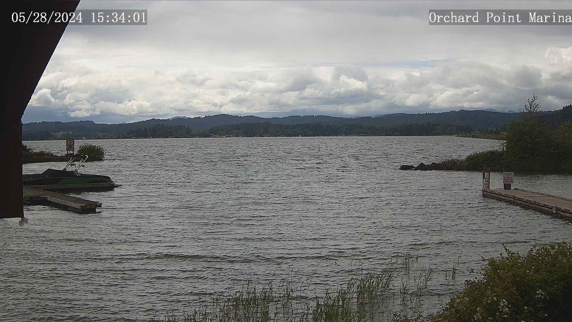
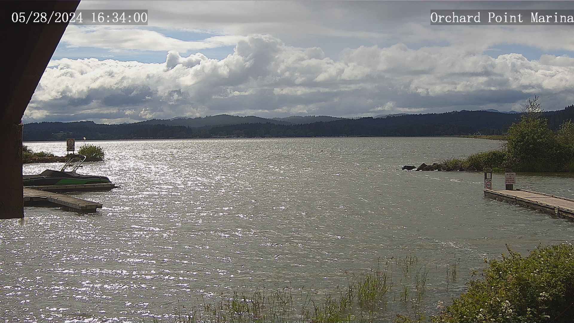
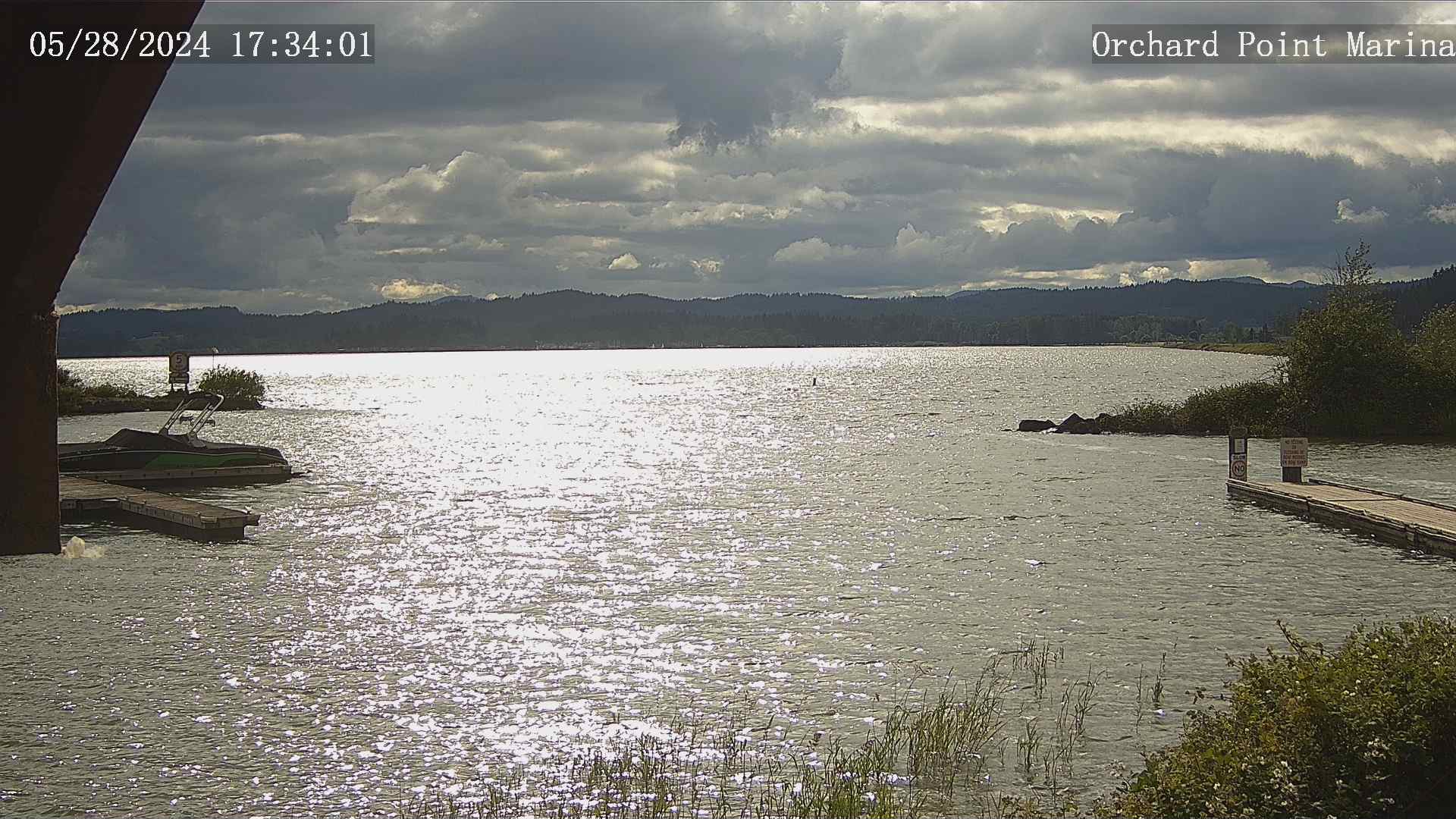
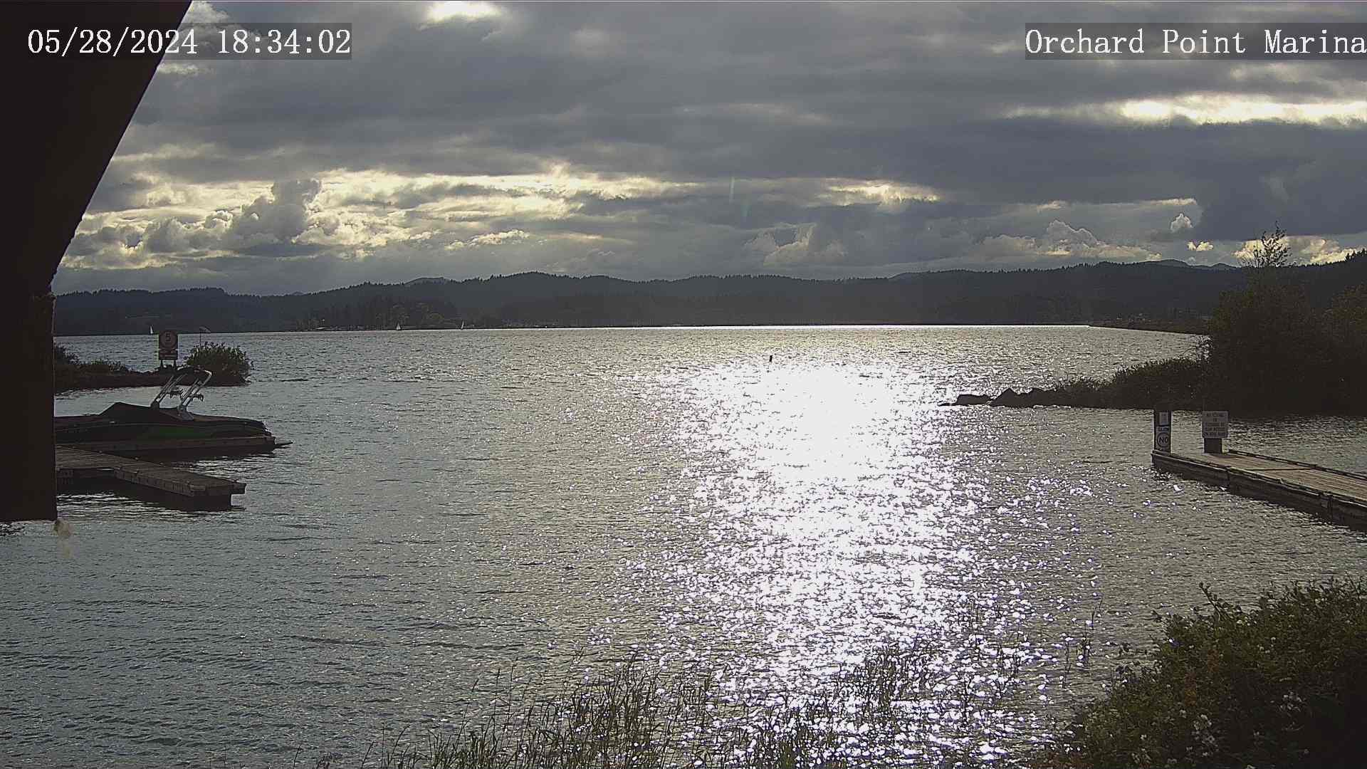
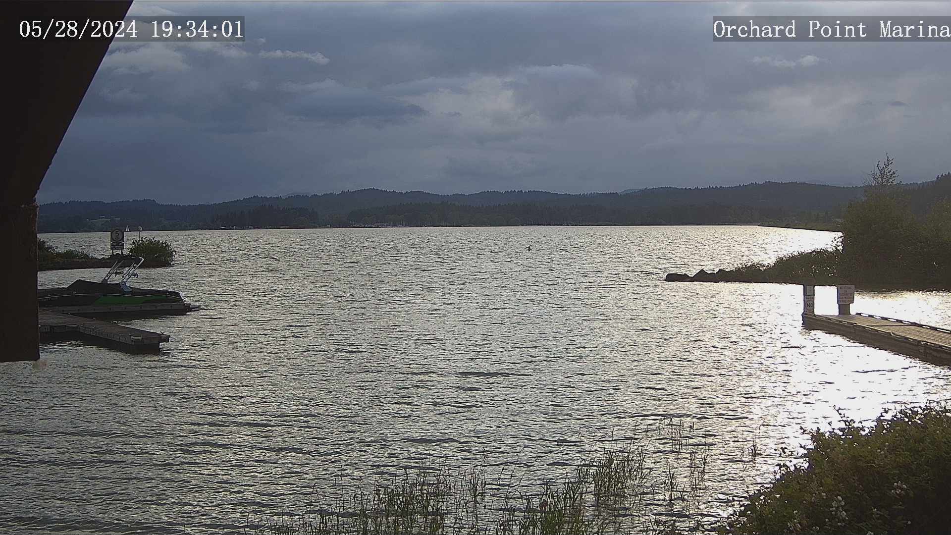
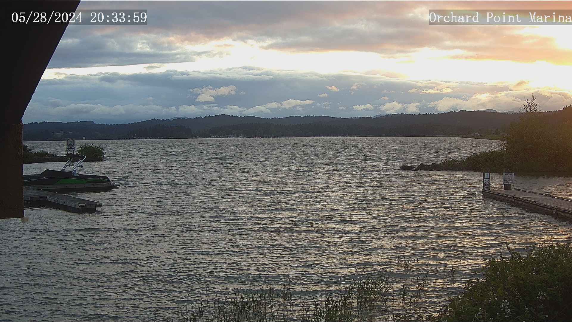
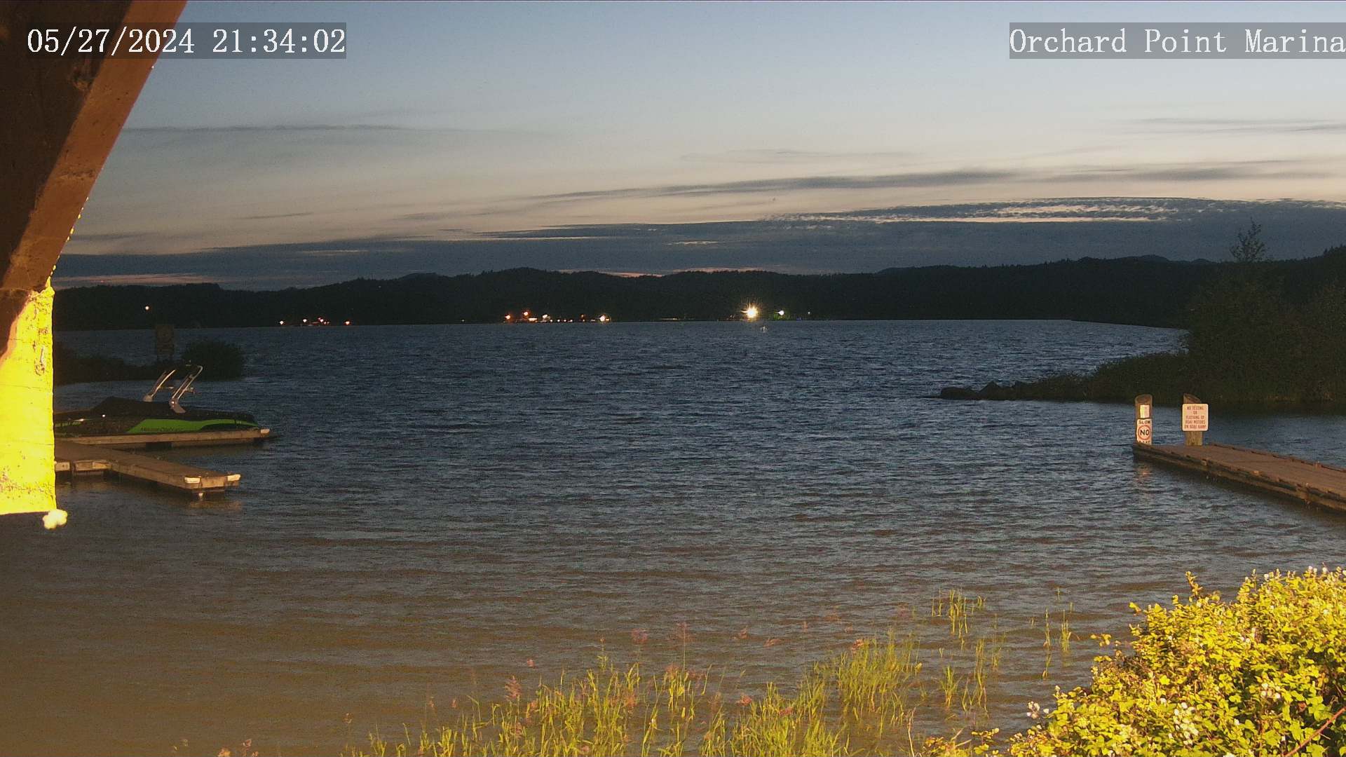
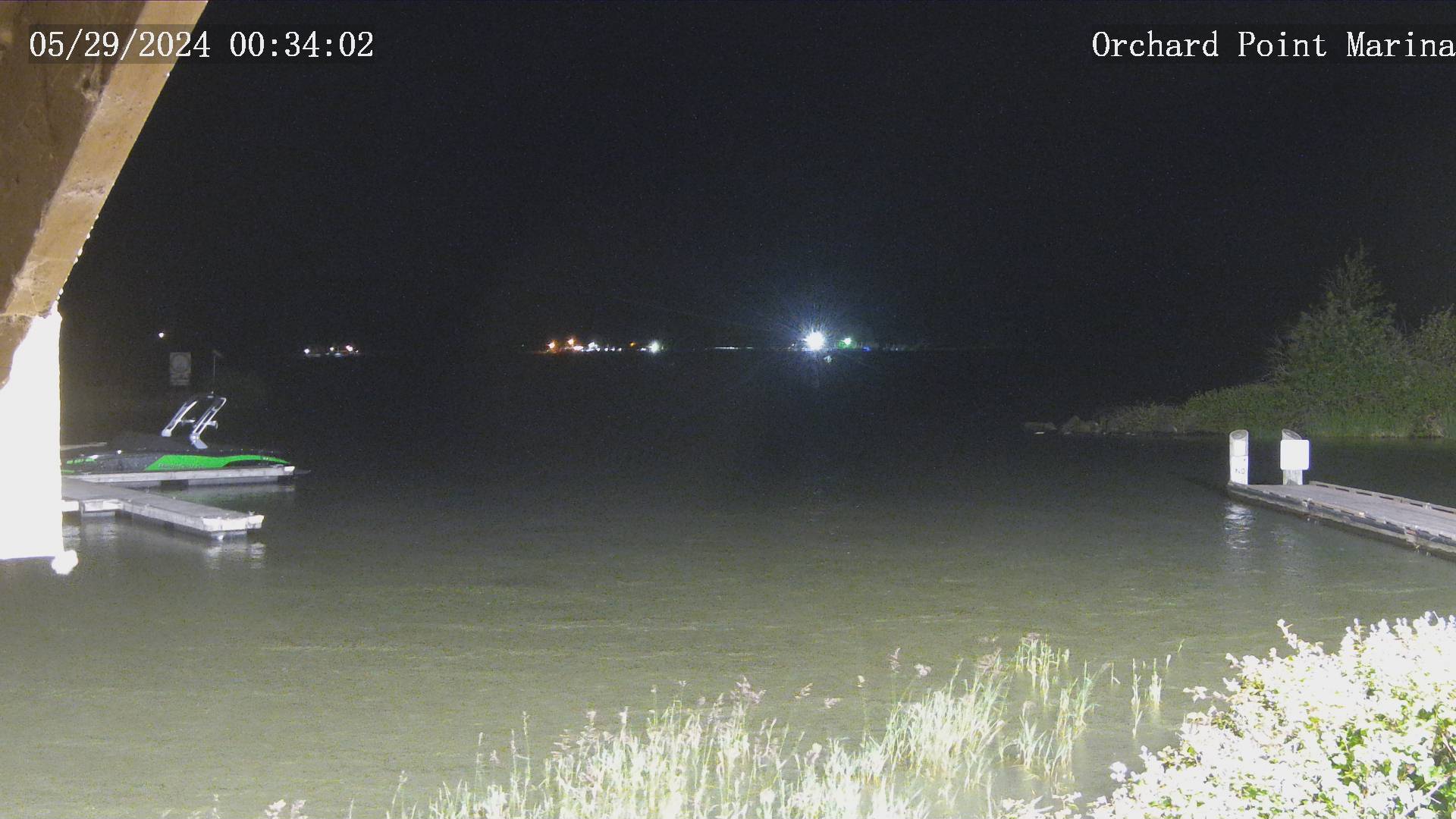
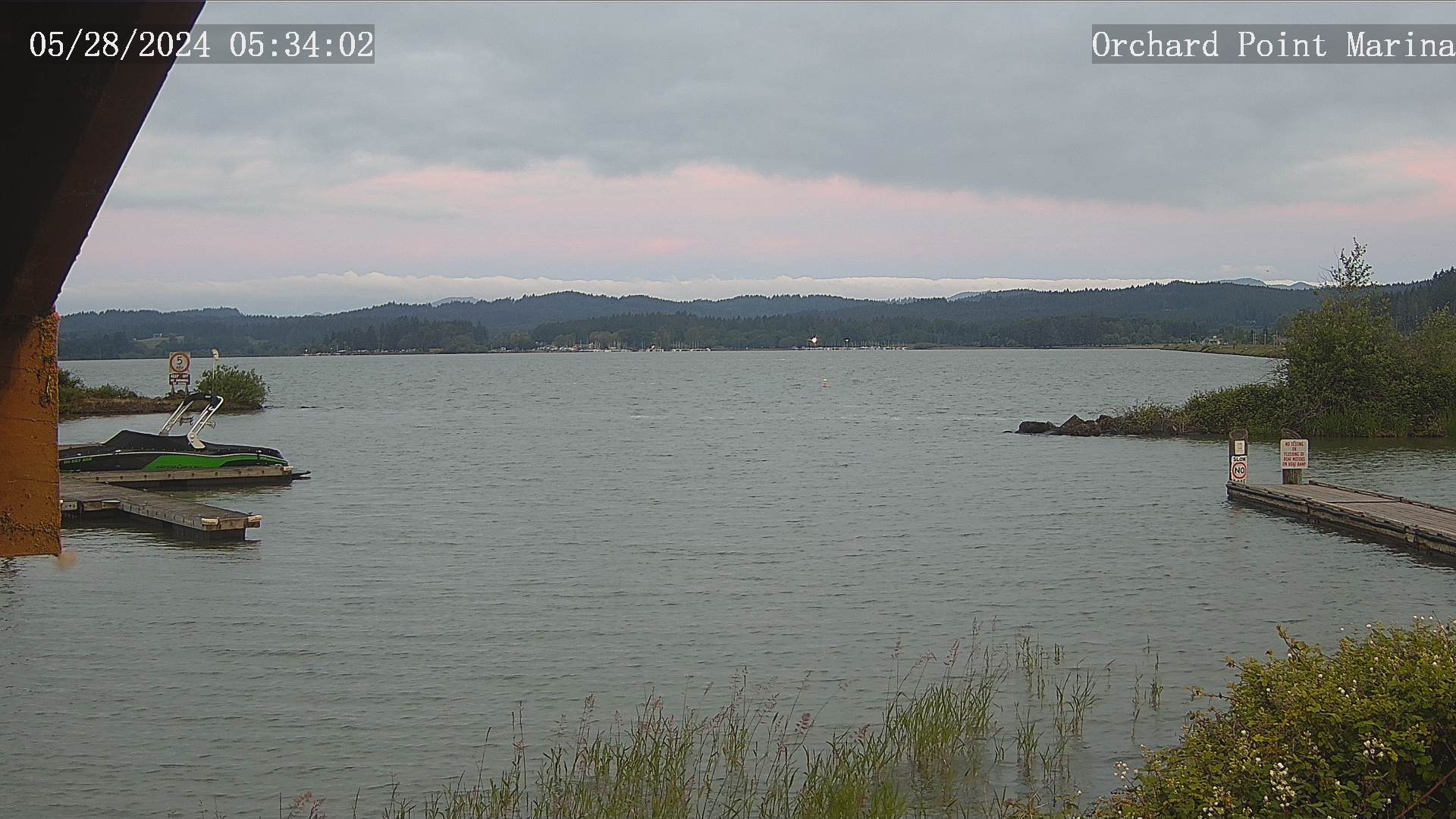
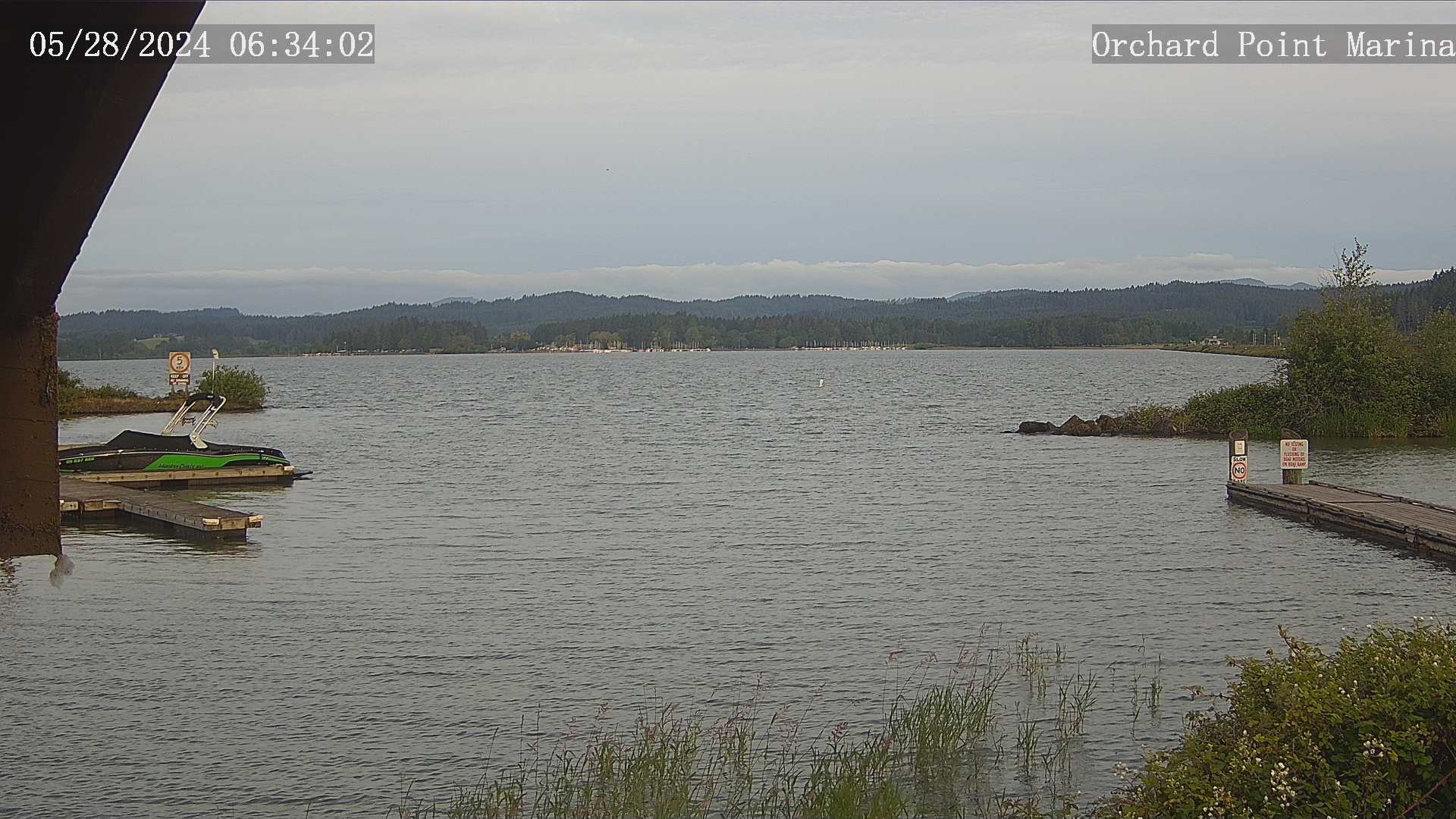
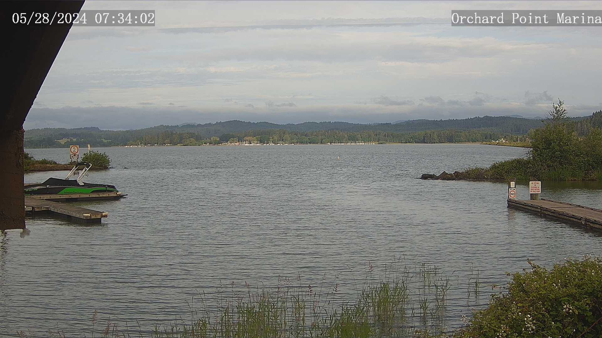
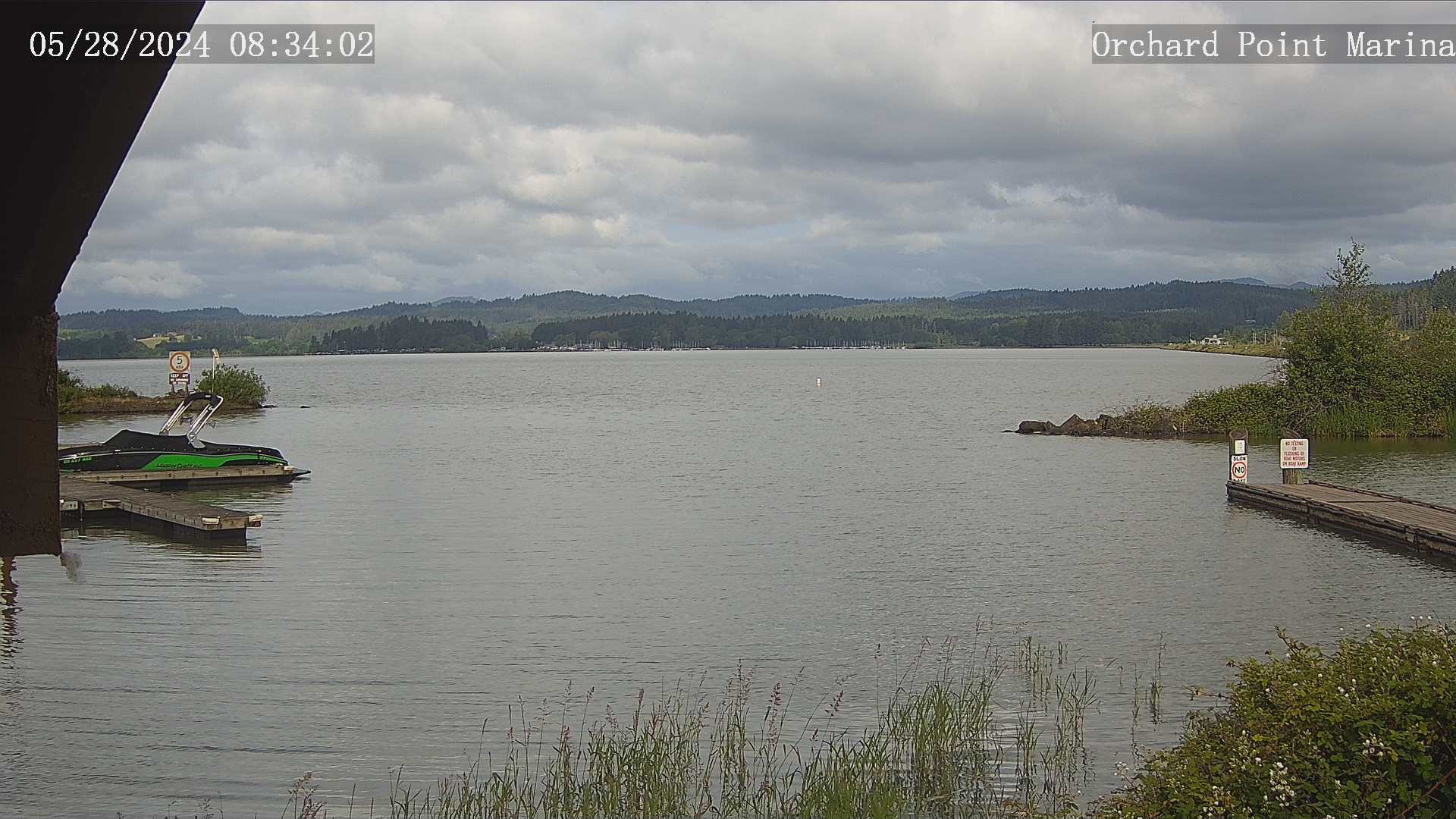
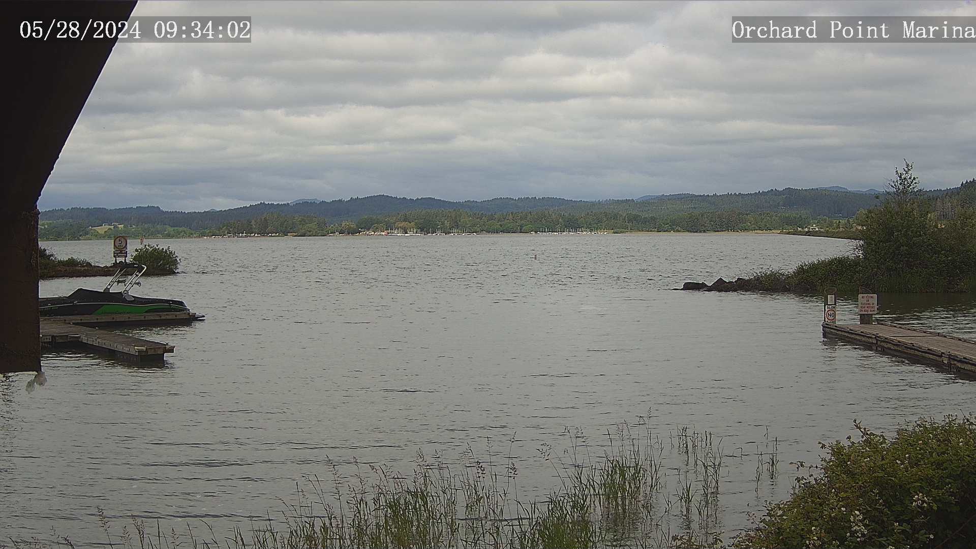
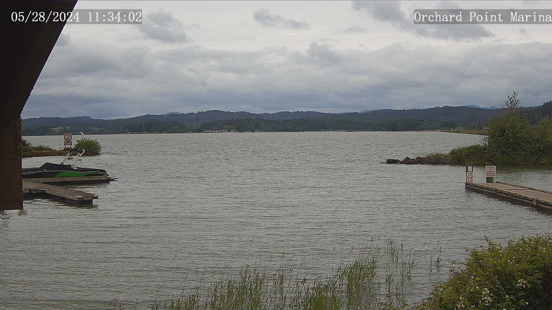
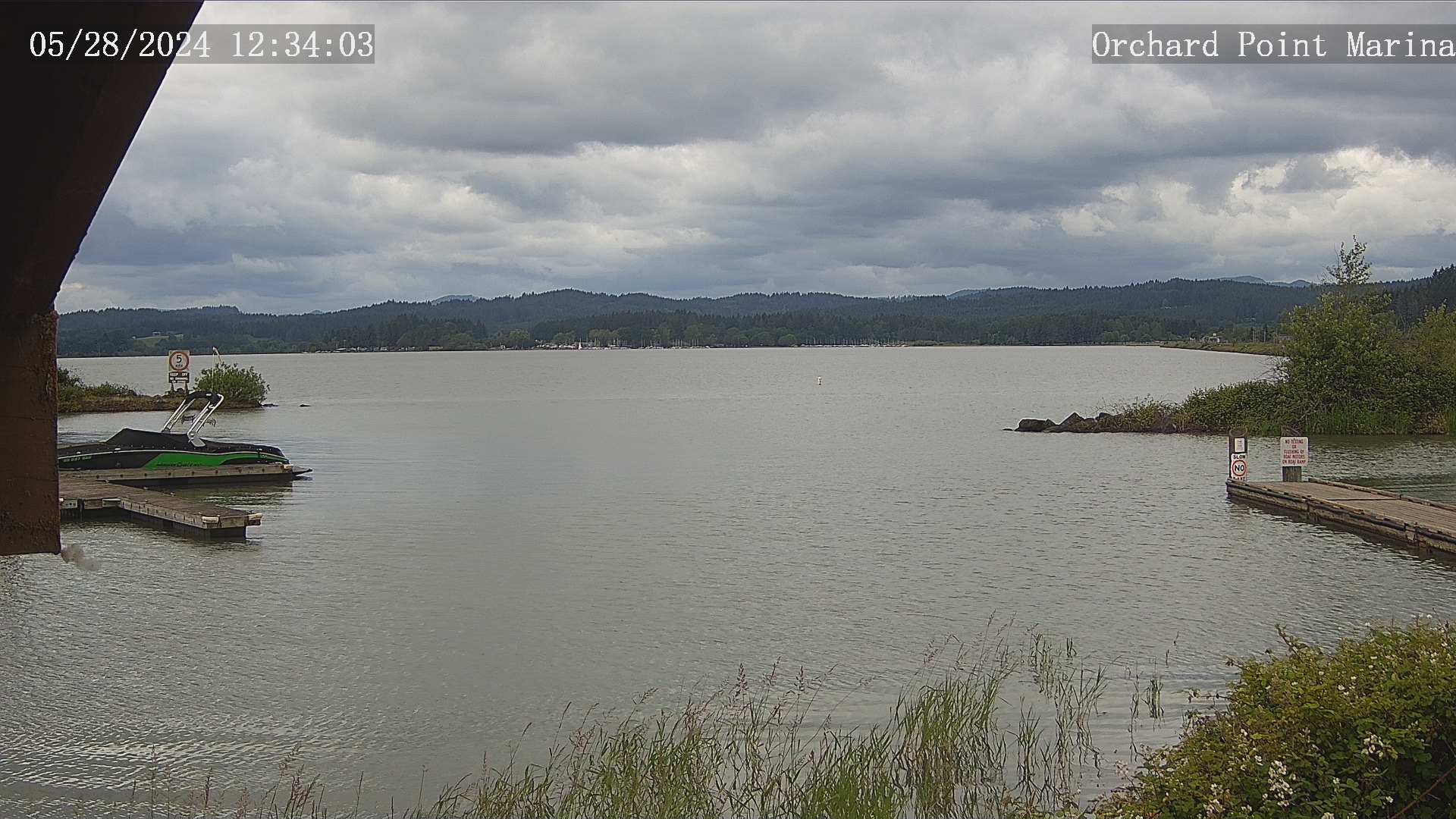
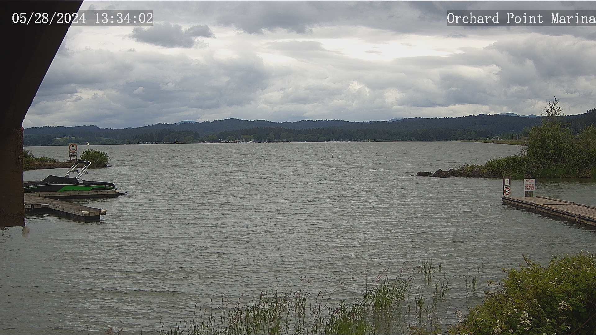
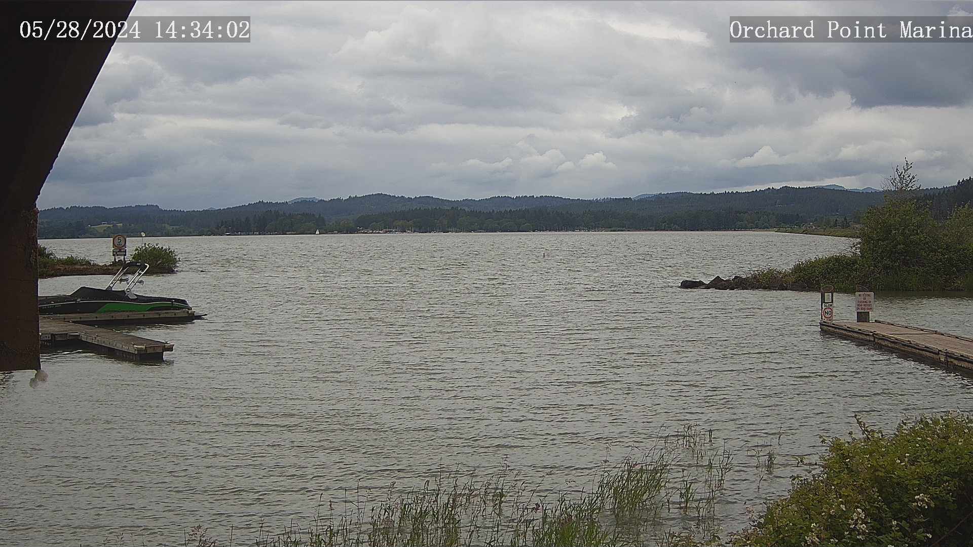
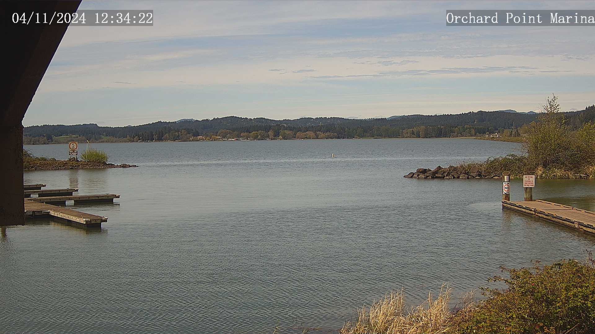
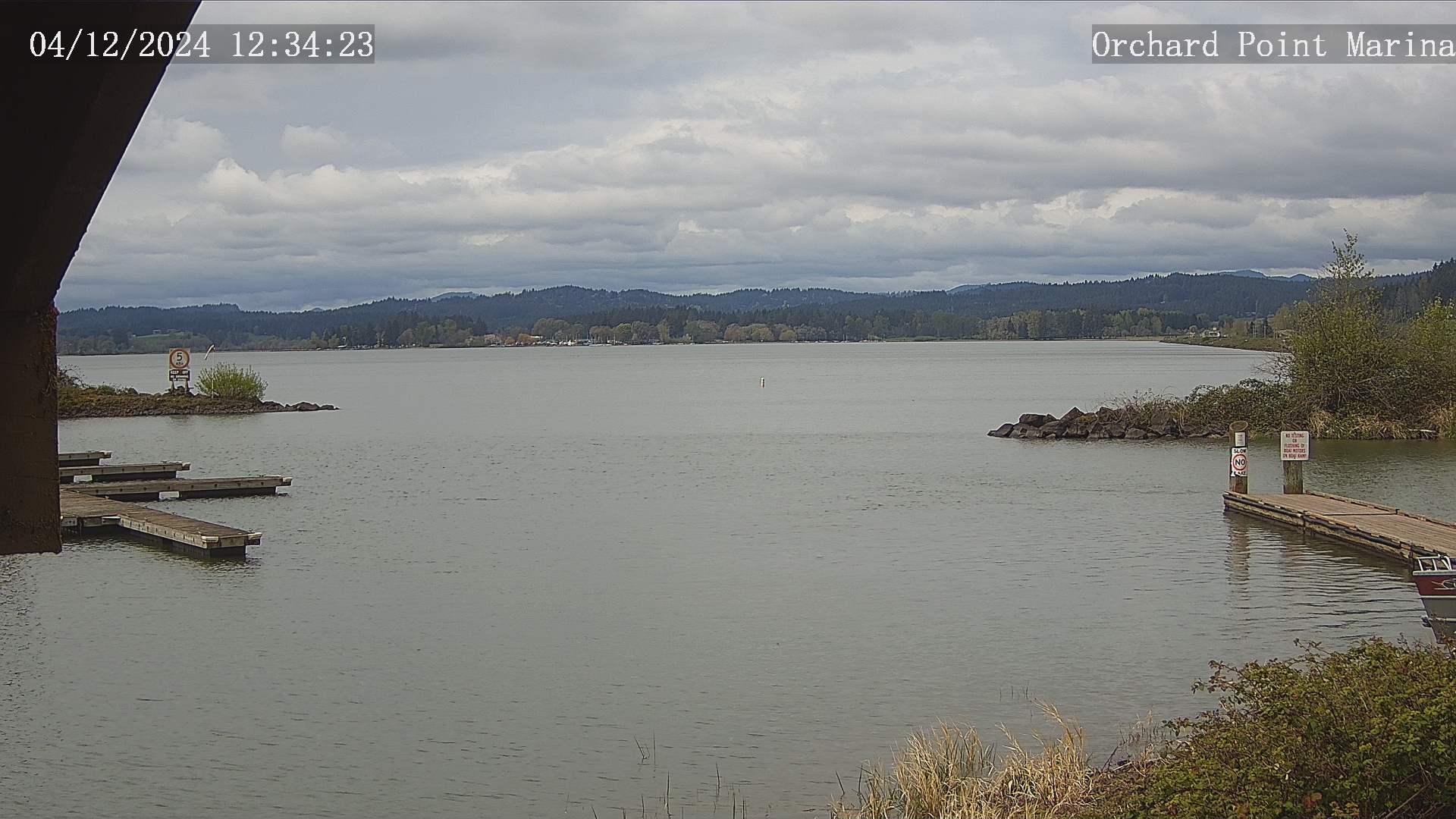
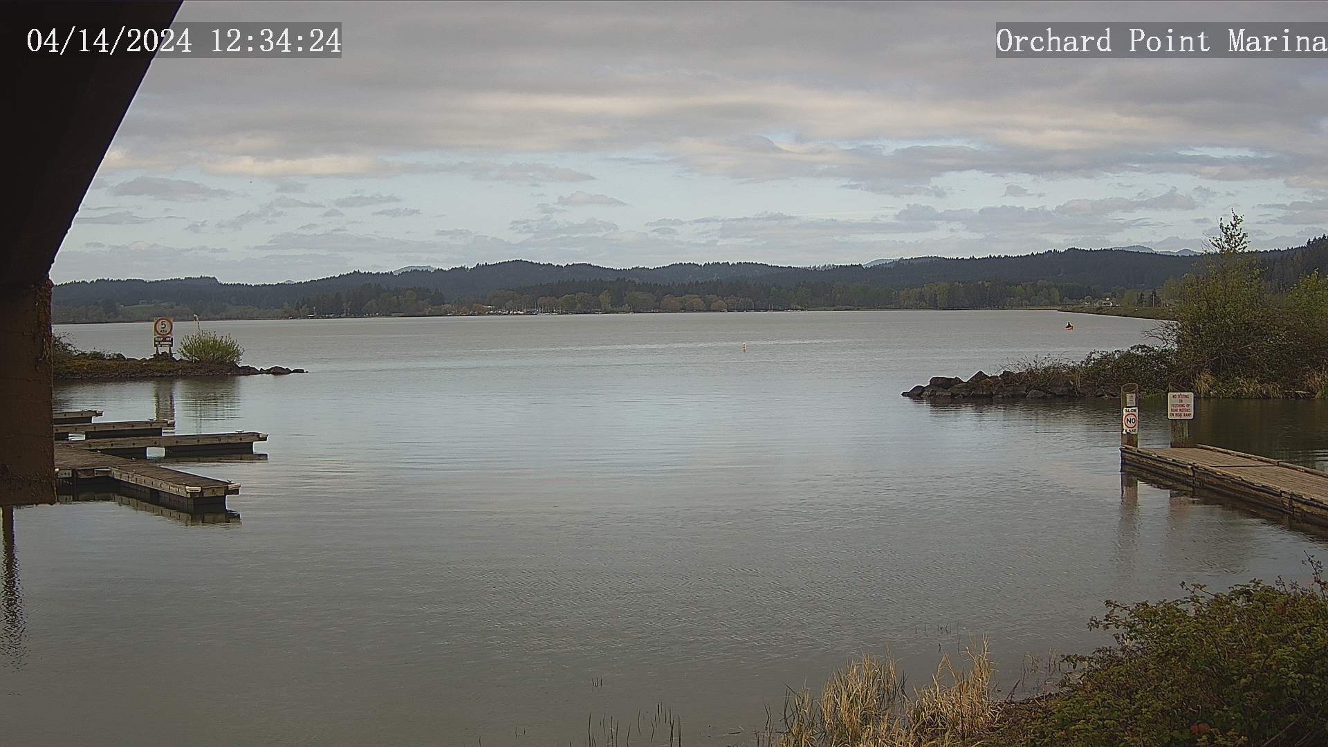
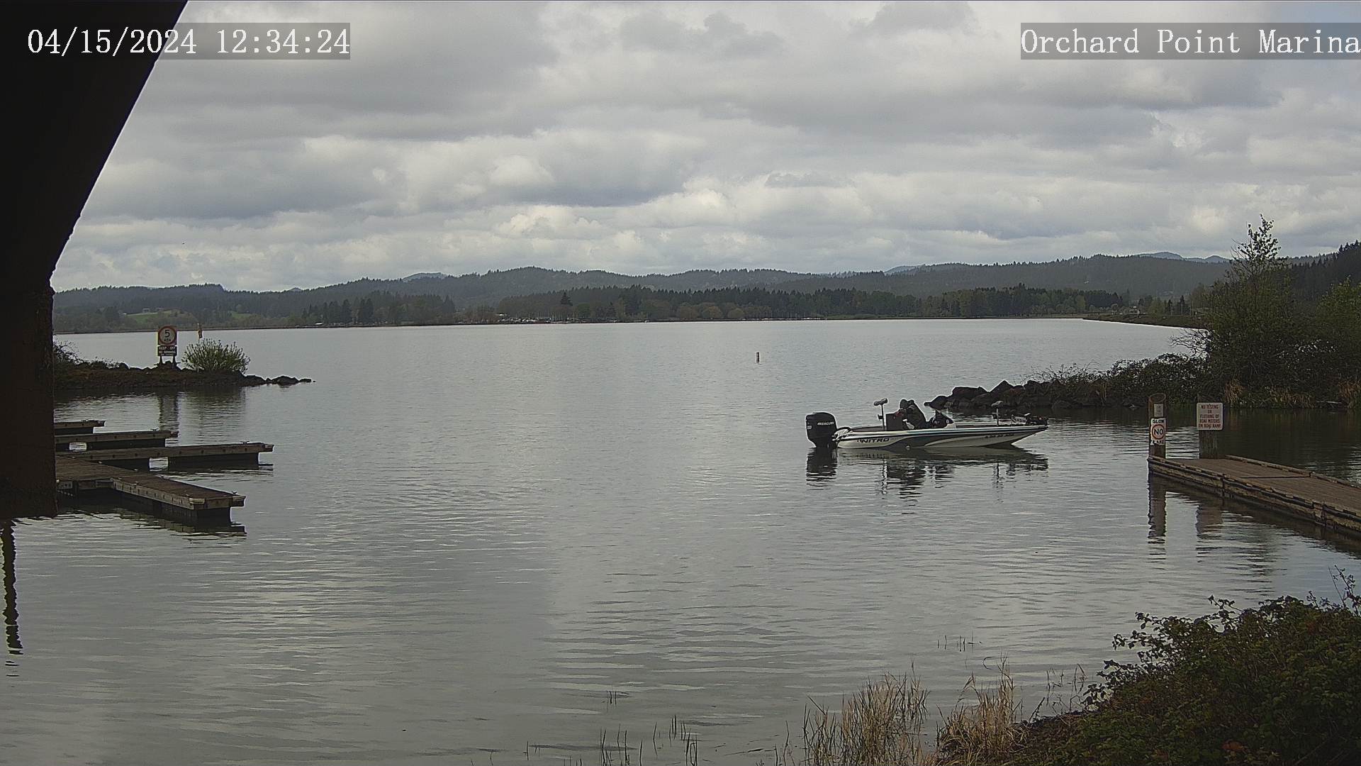
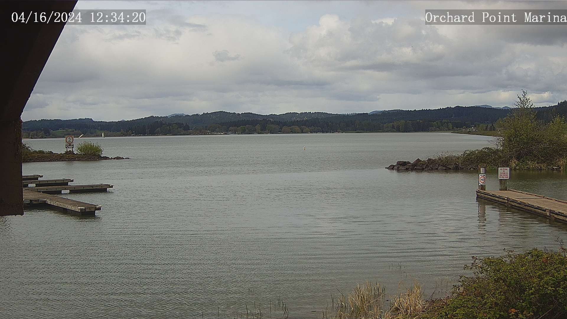
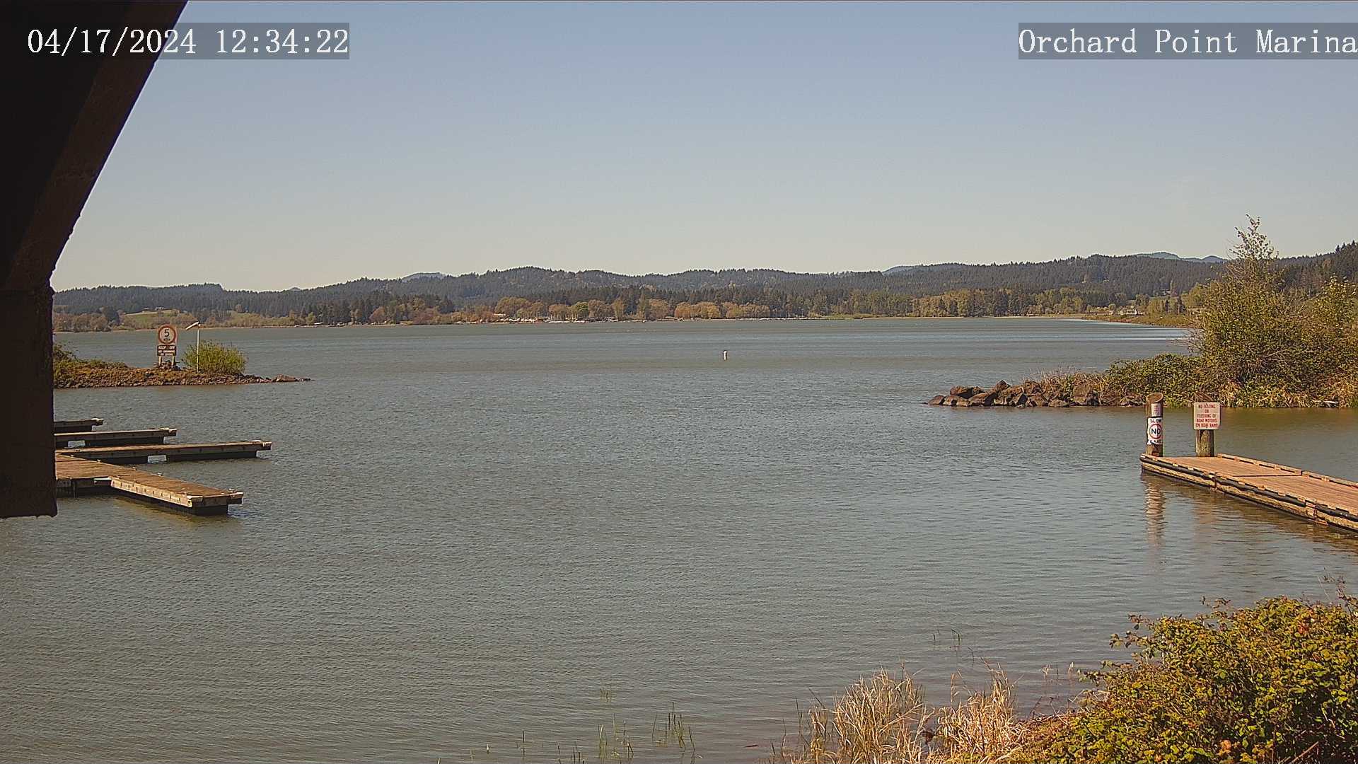
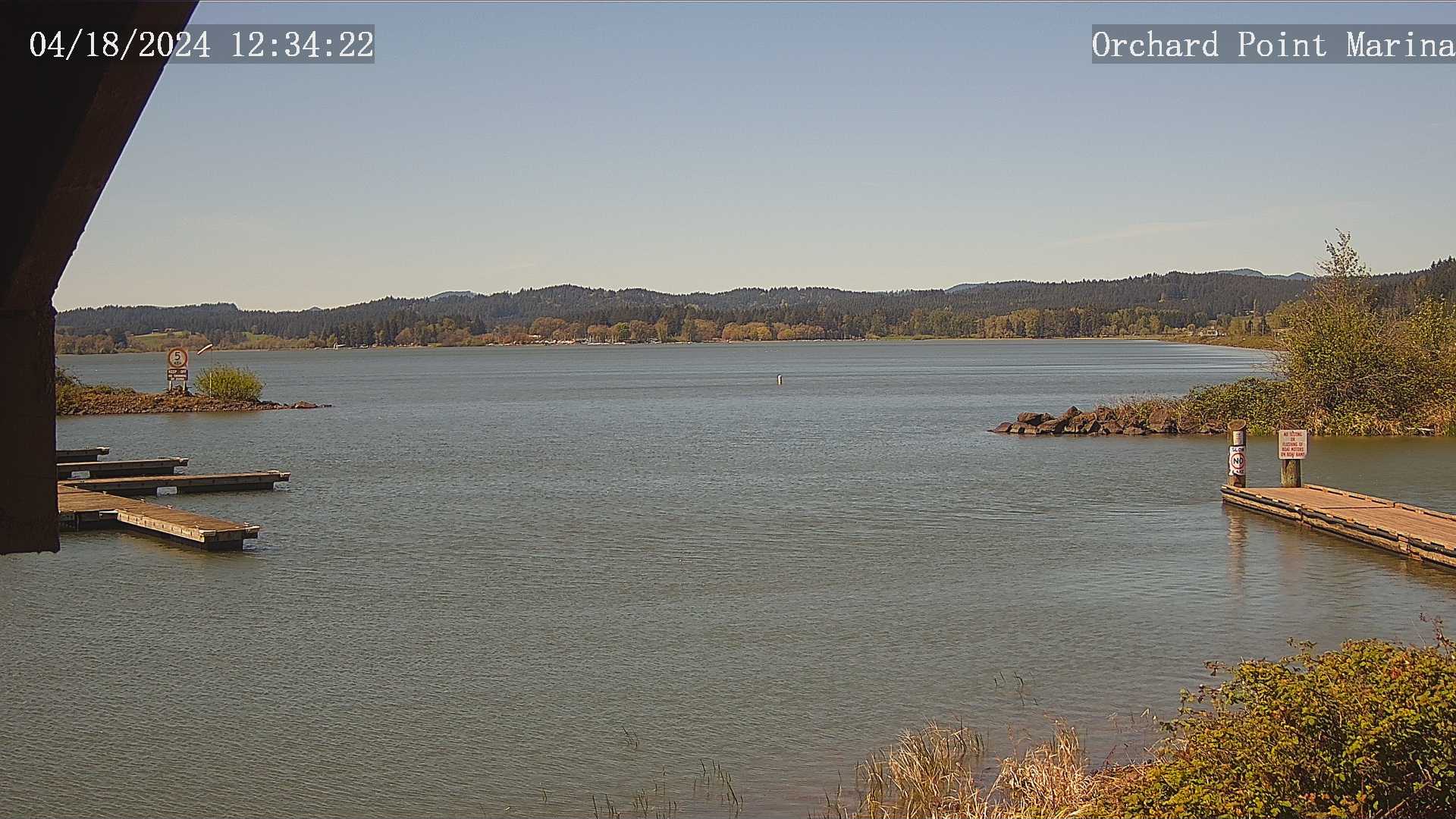
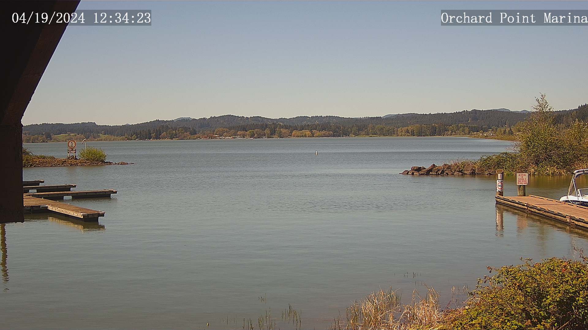
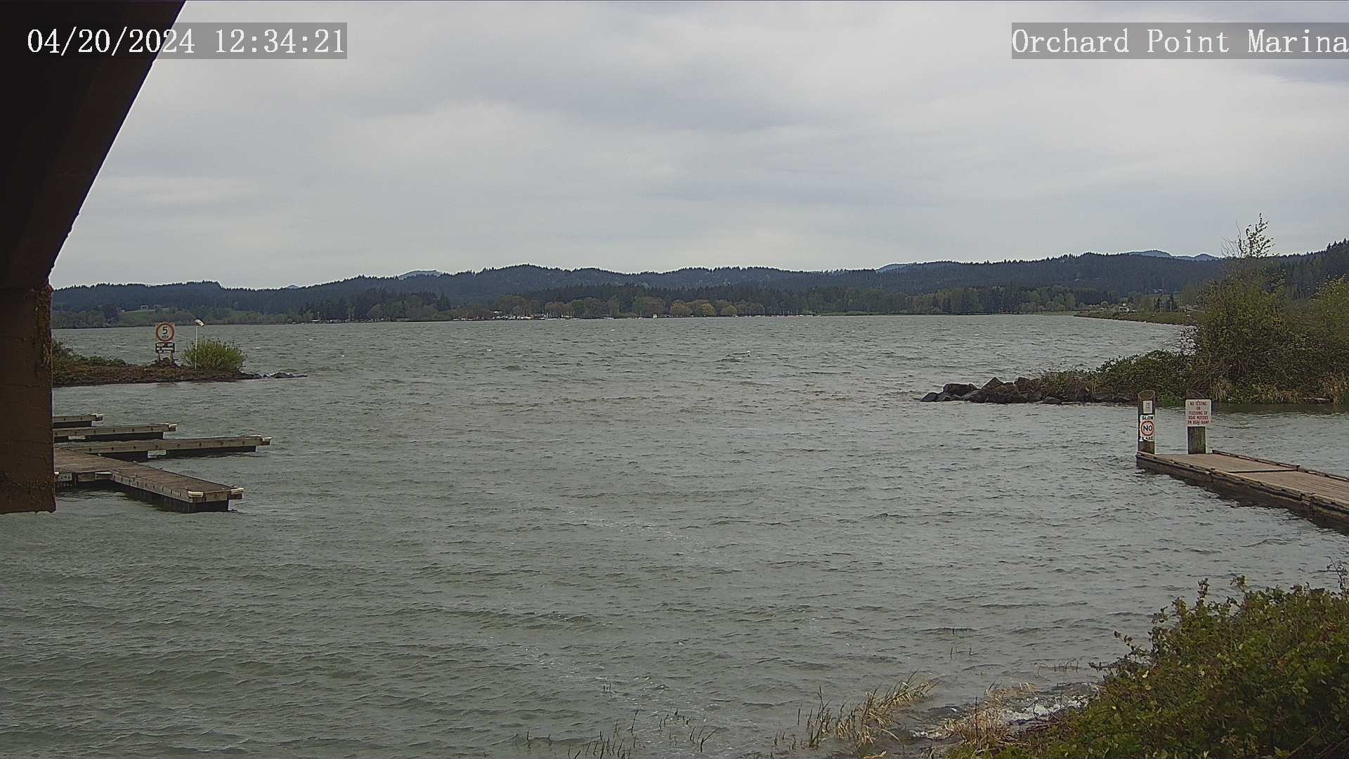
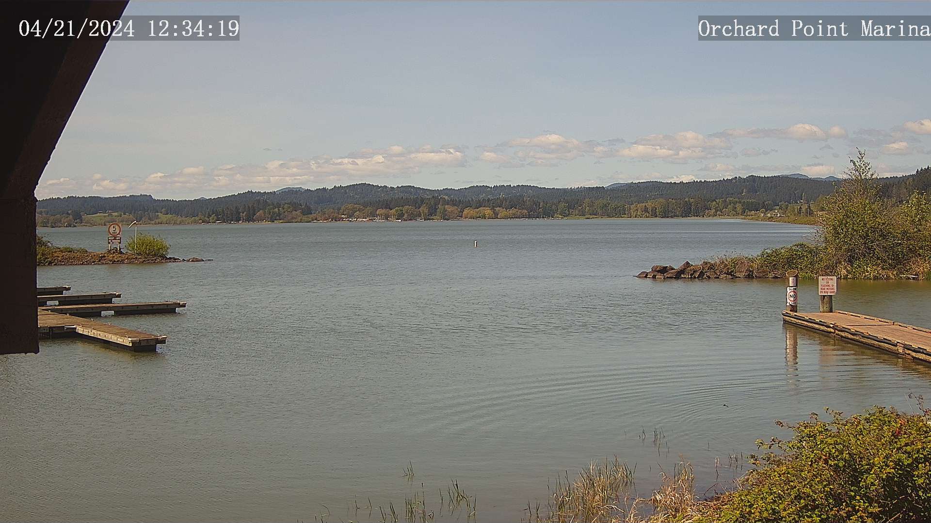
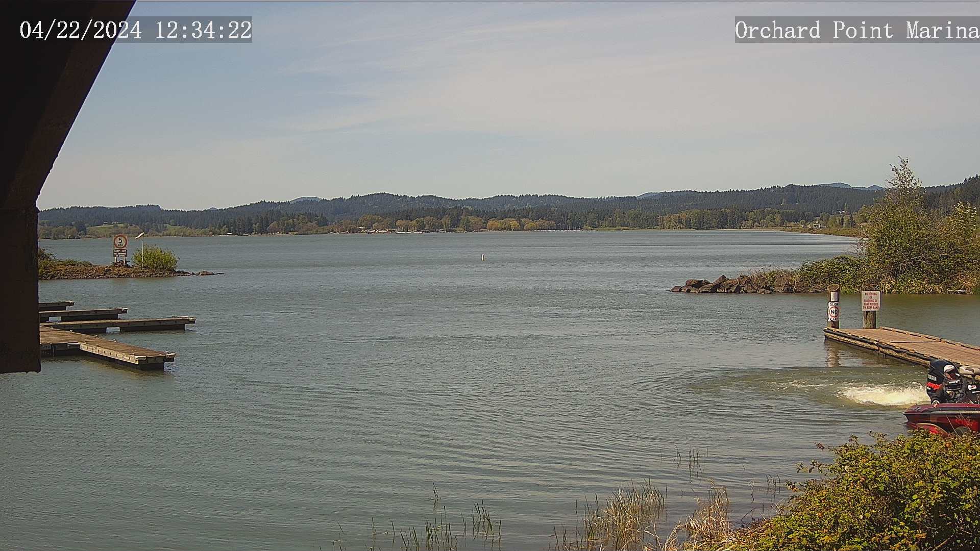
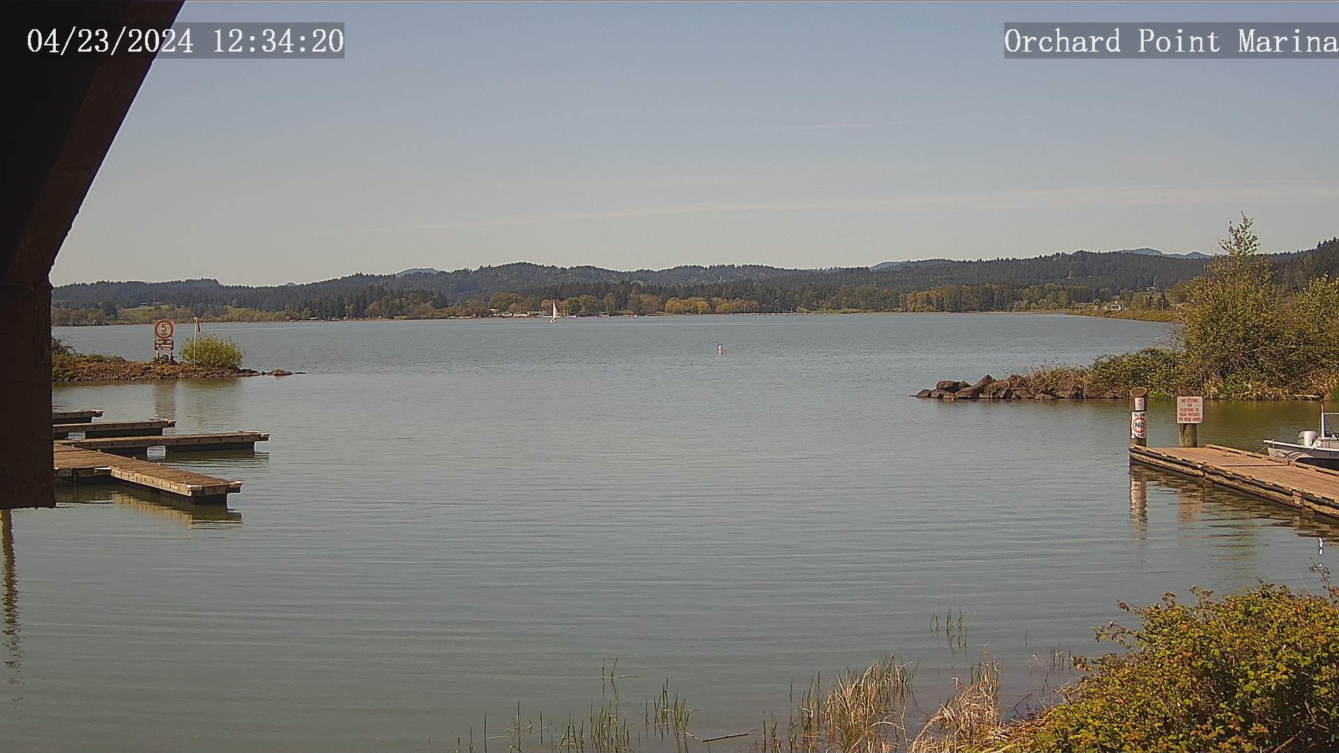
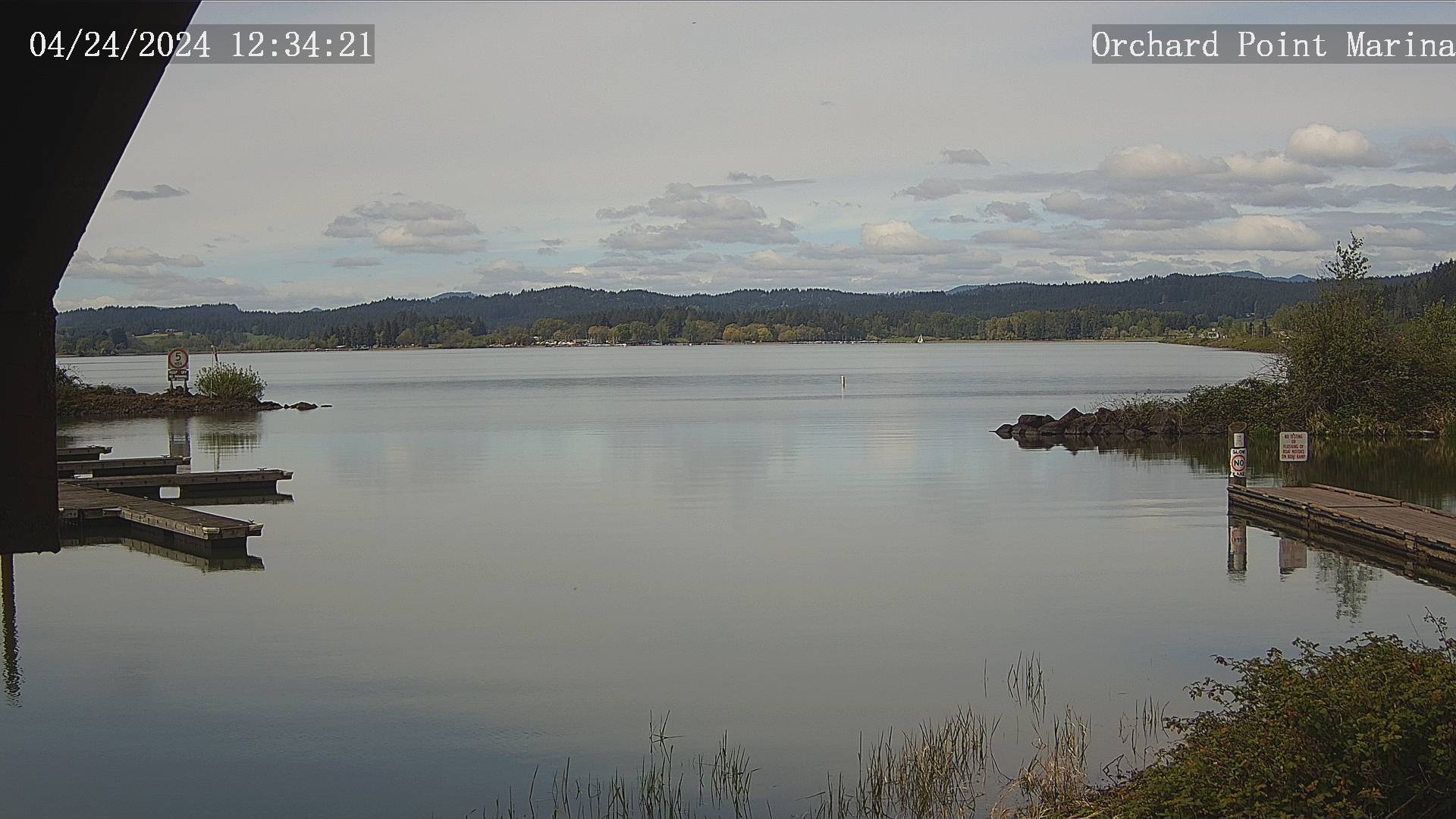
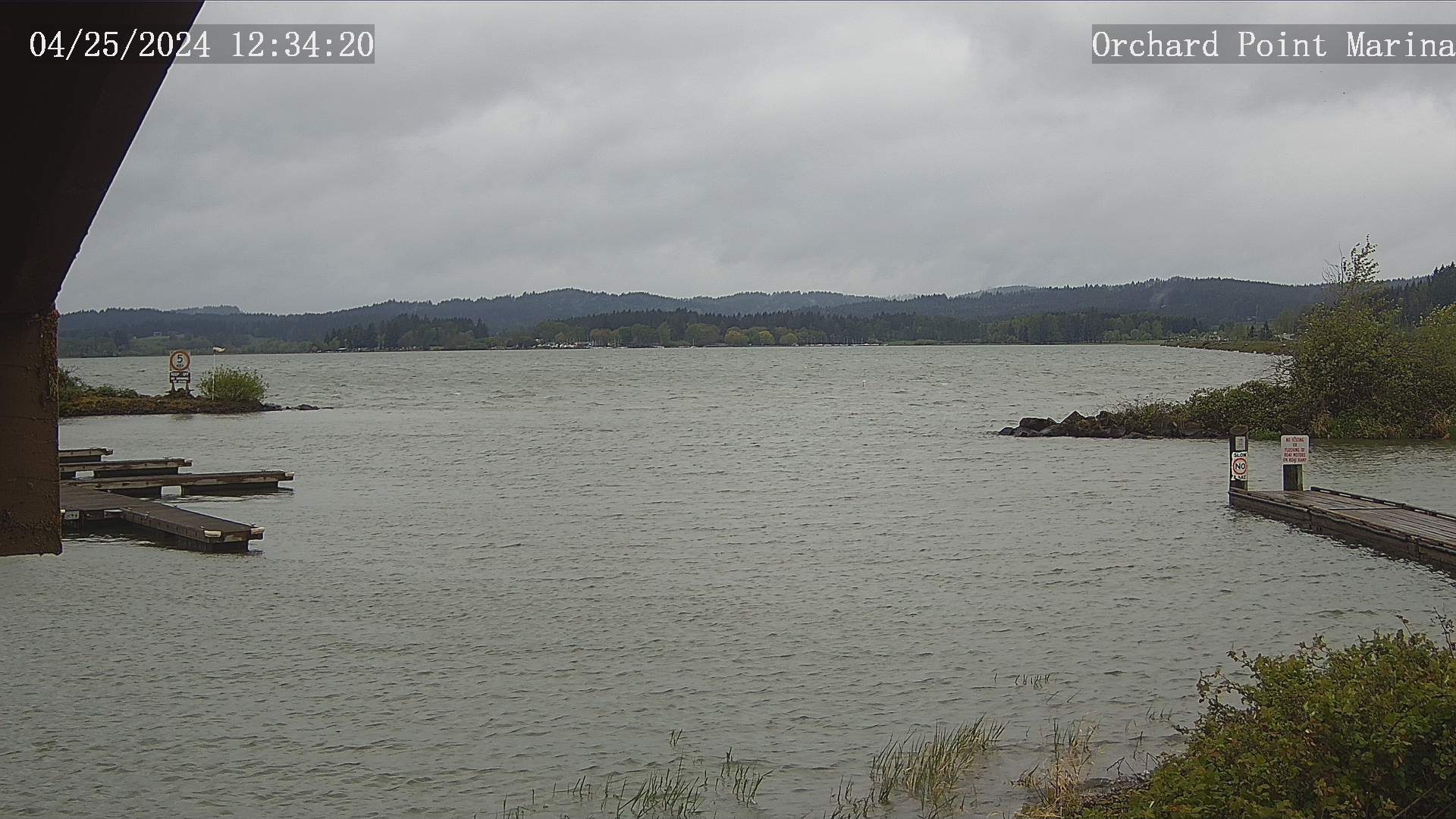
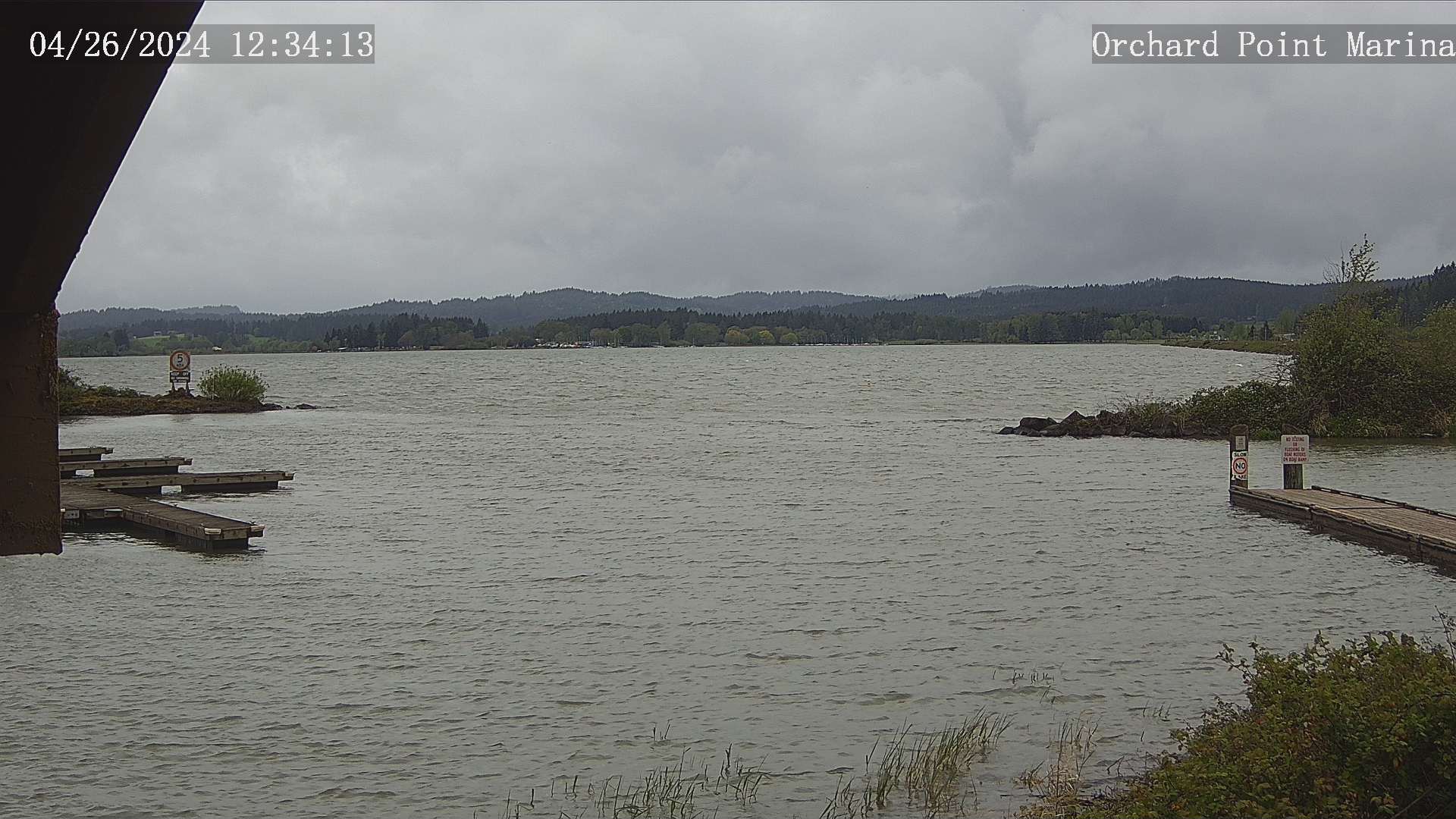
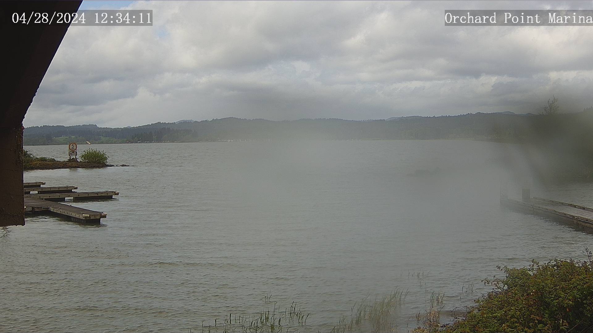
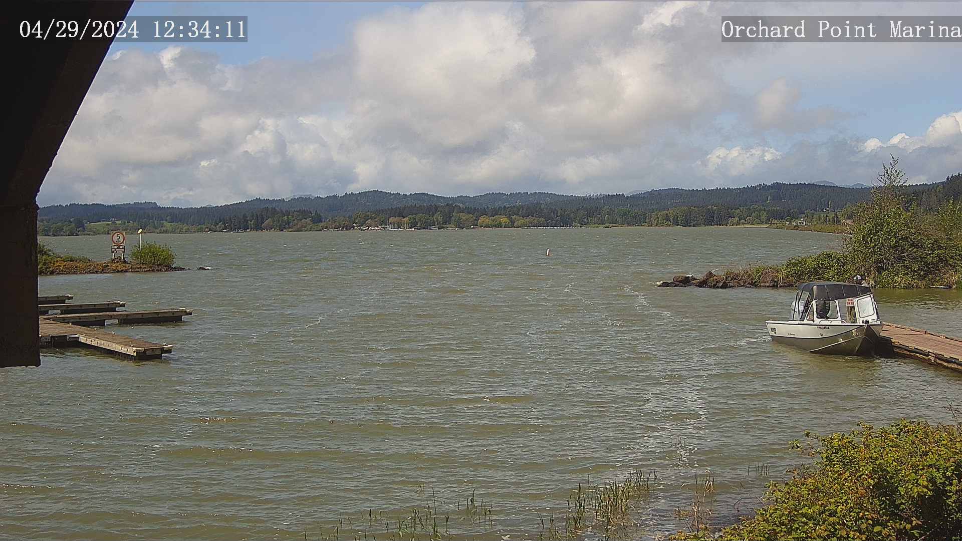
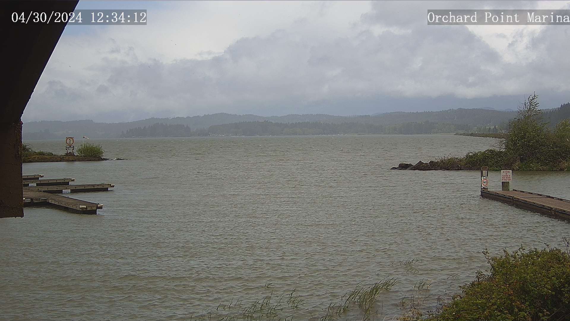
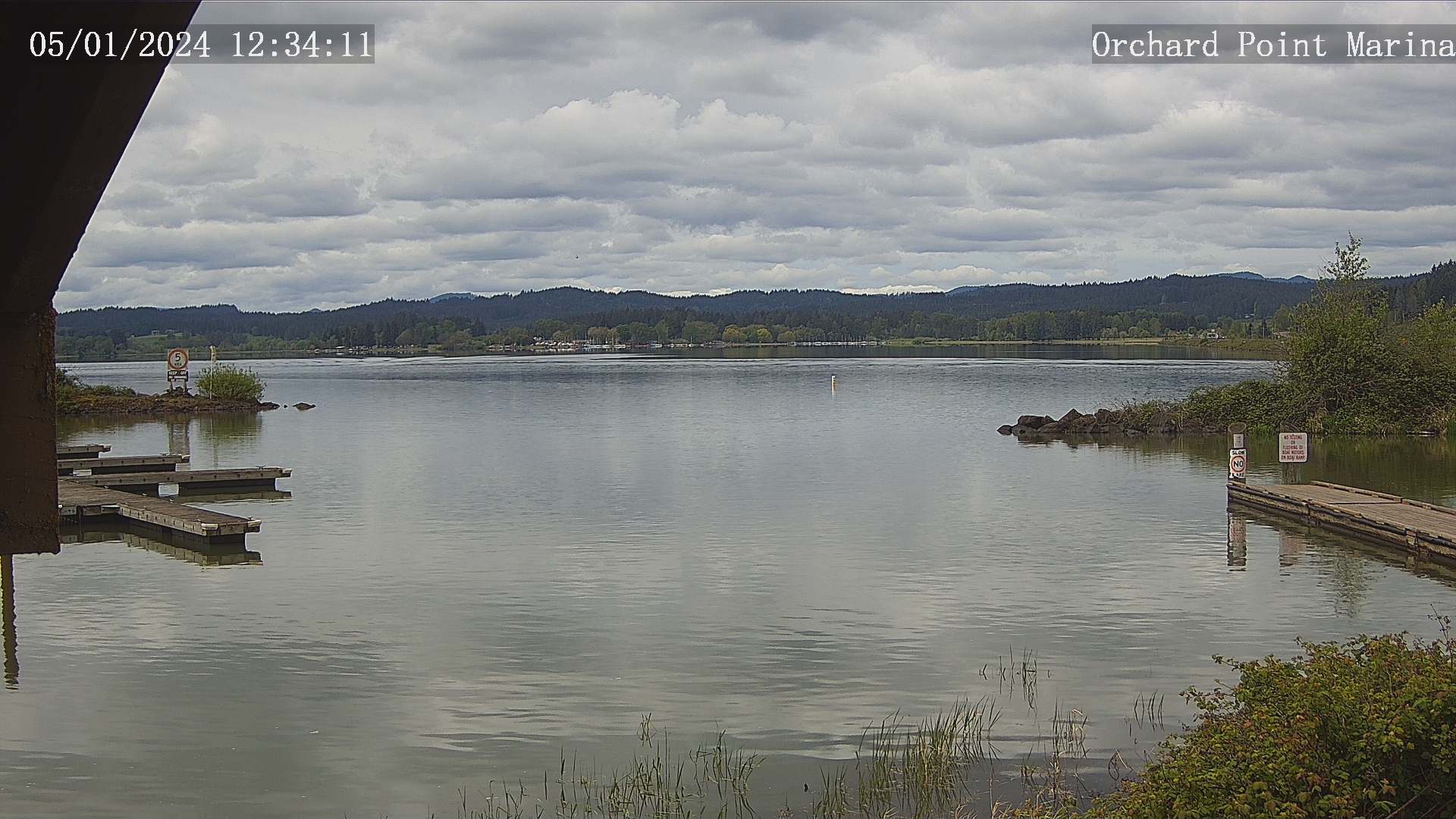
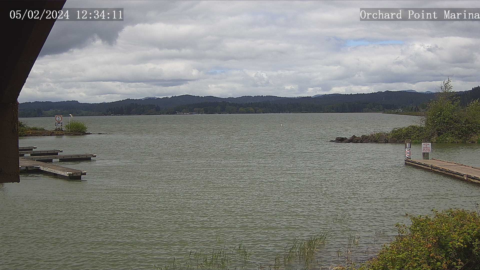
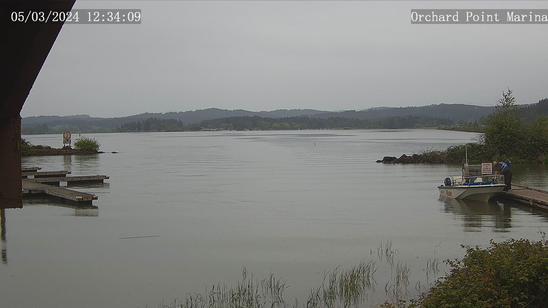
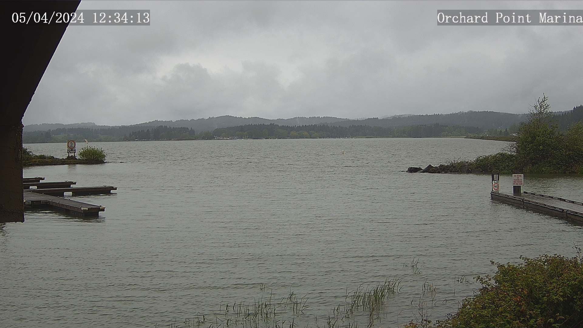
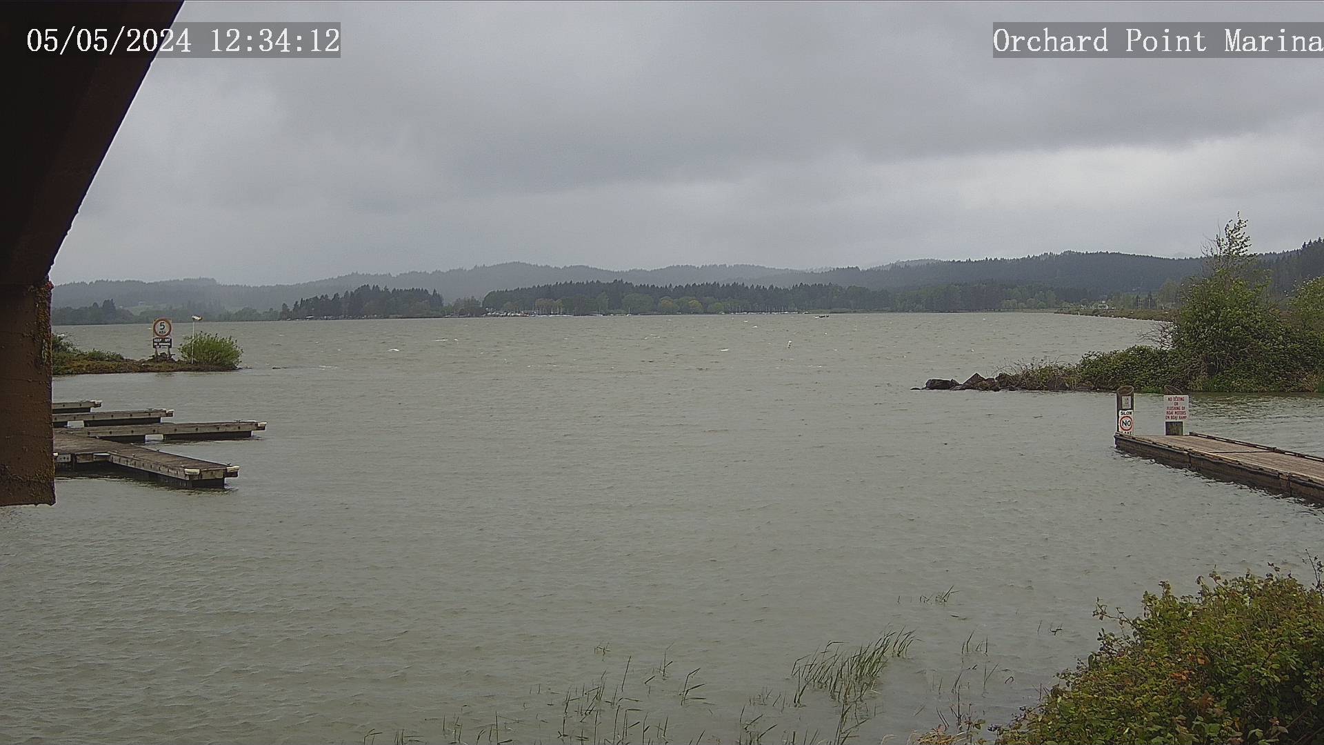
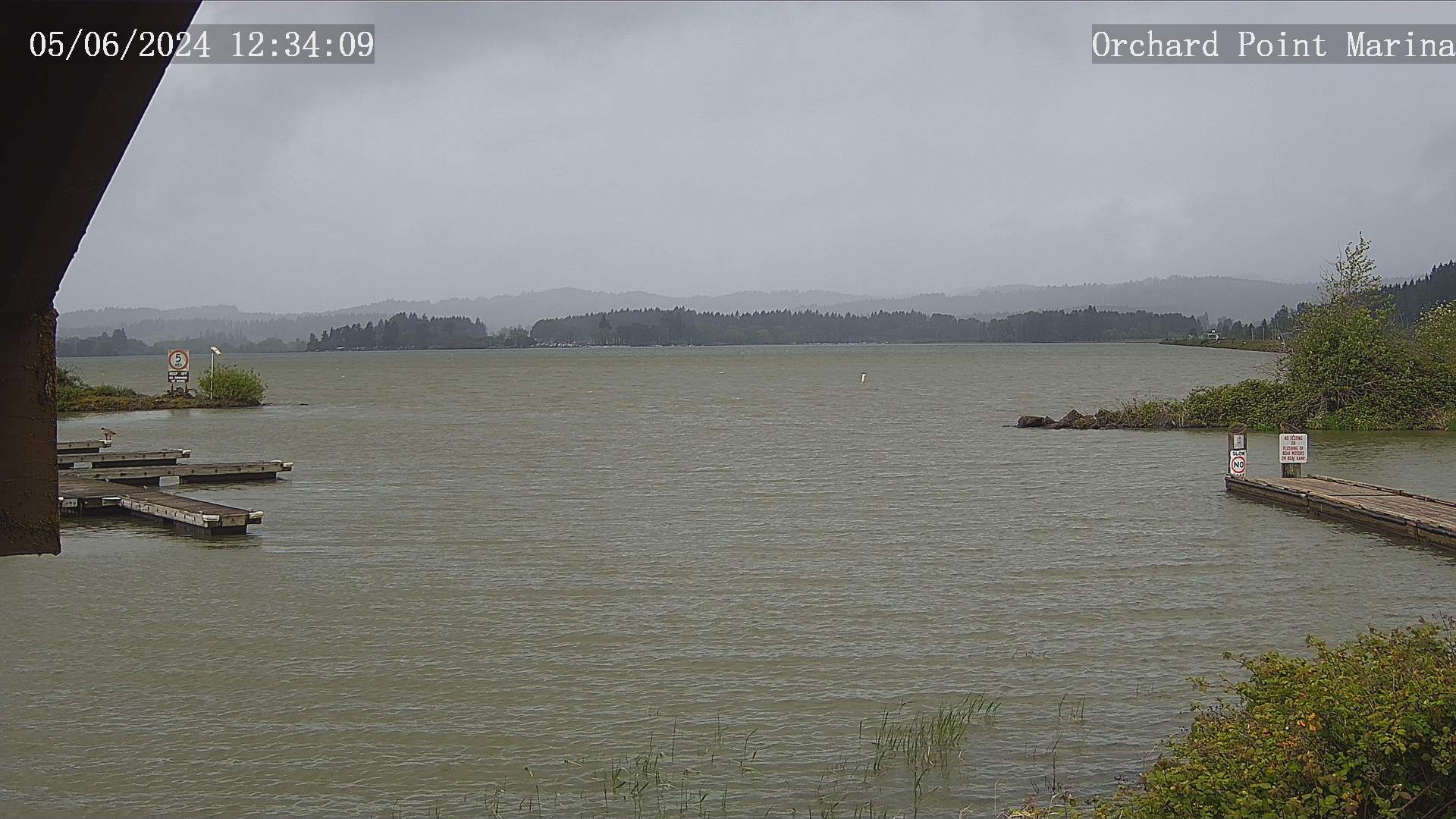
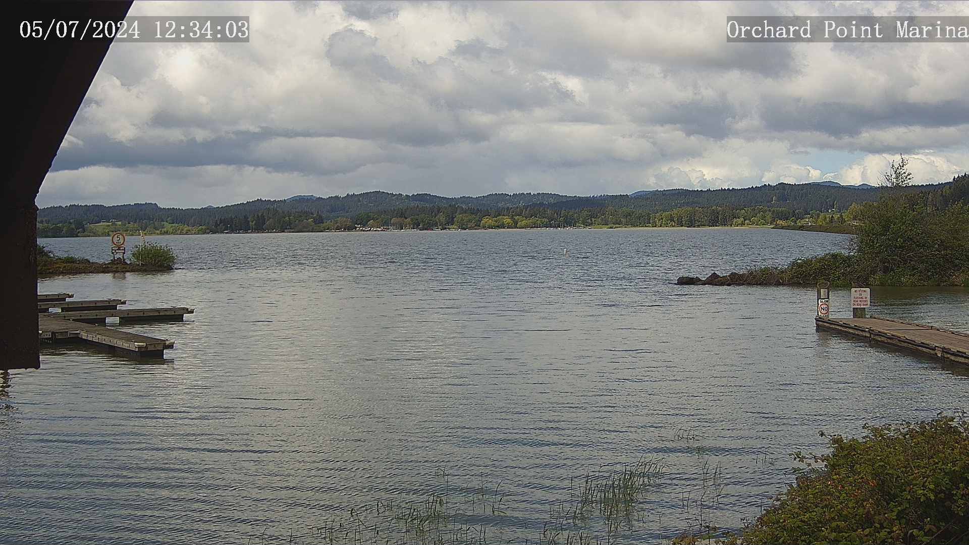
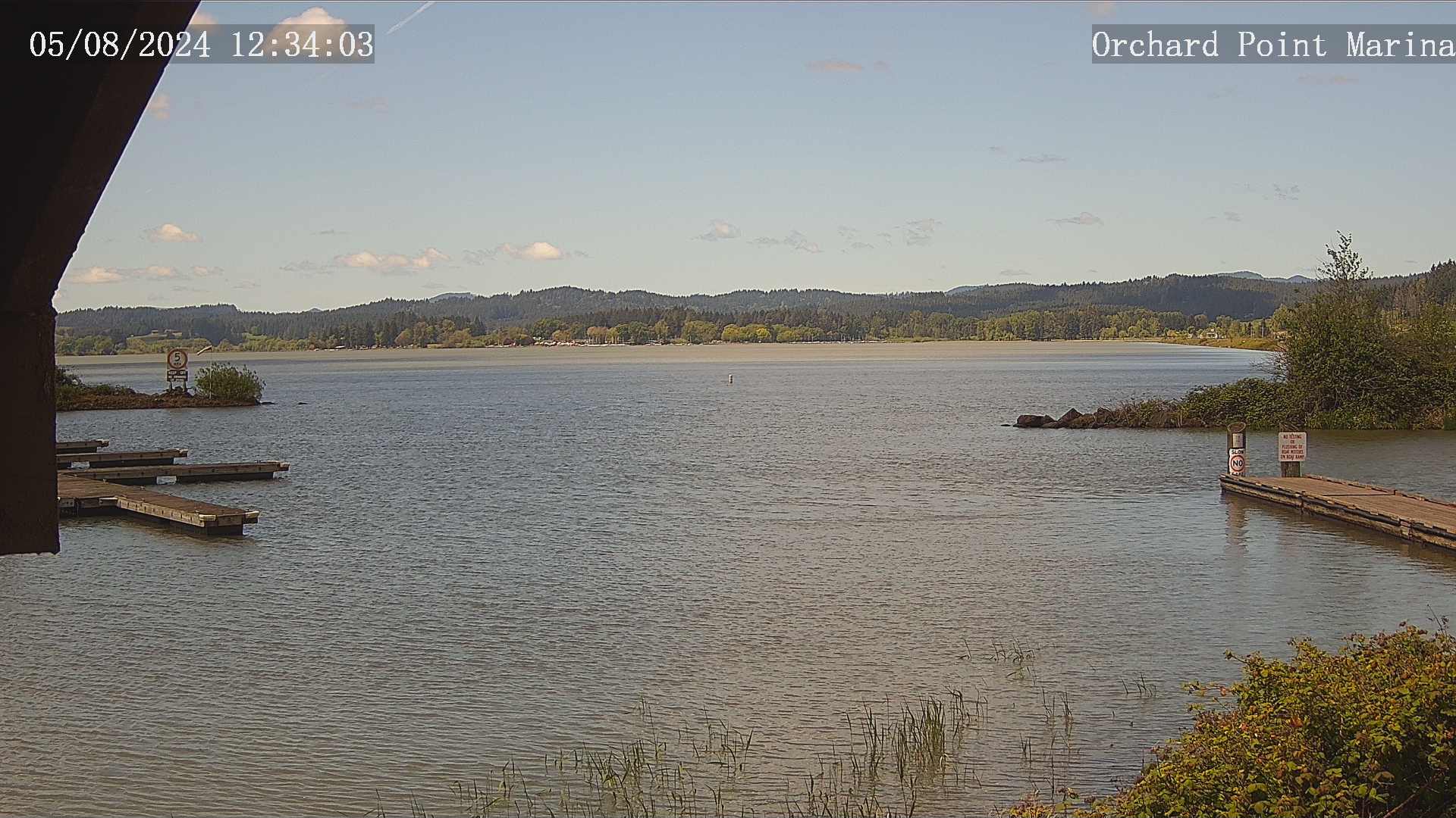
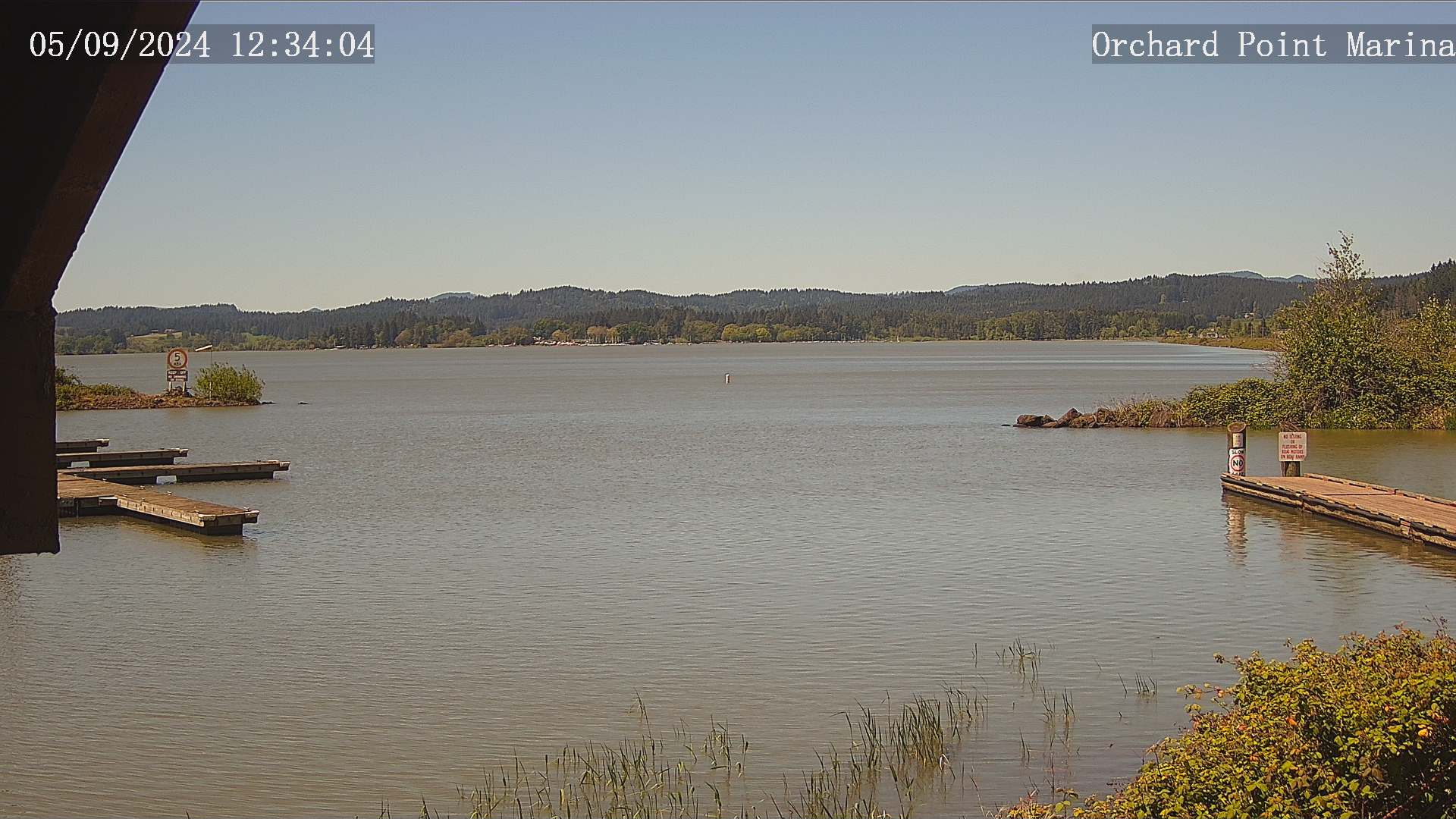
Eugene, Oregon, USA - 108.6 km da Civil Bend (historical): Lane County Parks - Orchard Point, Harbor Vista, Mount Pisgah
Operatore: Lane County
Gio. 15:34
Gio. 16:34
Gio. 17:34
Gio. 18:34
Gio. 19:34
Gio. 20:34
Gio. 21:34
Gio. 22:34
Gio. 23:34
Ven. 00:34
Ven. 01:34
Ven. 02:34
Ven. 03:34
Ven. 04:34
Ven. 05:34
Ven. 06:34
Ven. 07:34
Ven. 08:34
Ven. 09:34
Ven. 10:34
Ven. 11:34
Ven. 12:34
Ven. 13:34
Ven. 14:34
Gio. 11.4.
Ven. 12.4.
Sab. 13.4.
Dom. 14.4.
Lun. 15.4.
Mar. 16.4.
Mer. 17.4.
Gio. 18.4.
Ven. 19.4.
Sab. 20.4.
Dom. 21.4.
Lun. 22.4.
Mar. 23.4.
Mer. 24.4.
Gio. 25.4.
Ven. 26.4.
Sab. 27.4.
Dom. 28.4.
Lun. 29.4.
Mar. 30.4.
Mer. 1.5.
Gio. 2.5.
Ven. 3.5.
Sab. 4.5.
Dom. 5.5.
Lun. 6.5.
Mar. 7.5.
Mer. 8.5.
Gio. 9.5.
Ven. 10.5.
Operatore: Lane County
Gio. 15:34
Gio. 16:34
Gio. 17:34
Gio. 18:34
Gio. 19:34
Gio. 20:34
Gio. 21:34
Gio. 22:34

Gio. 23:34
Ven. 00:34

Ven. 01:34

Ven. 02:34

Ven. 03:34

Ven. 04:34
Ven. 05:34
Ven. 06:34
Ven. 07:34
Ven. 08:34
Ven. 09:34

Ven. 10:34
Ven. 11:34
Ven. 12:34
Ven. 13:34
Ven. 14:34
Gio. 11.4.
Ven. 12.4.

Sab. 13.4.
Dom. 14.4.
Lun. 15.4.
Mar. 16.4.
Mer. 17.4.
Gio. 18.4.
Ven. 19.4.
Sab. 20.4.
Dom. 21.4.
Lun. 22.4.
Mar. 23.4.
Mer. 24.4.
Gio. 25.4.
Ven. 26.4.

Sab. 27.4.
Dom. 28.4.
Lun. 29.4.
Mar. 30.4.
Mer. 1.5.
Gio. 2.5.
Ven. 3.5.
Sab. 4.5.
Dom. 5.5.
Lun. 6.5.
Mar. 7.5.
Mer. 8.5.
Gio. 9.5.

Ven. 10.5.

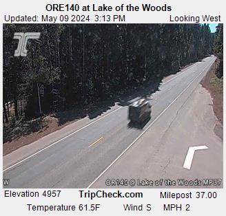
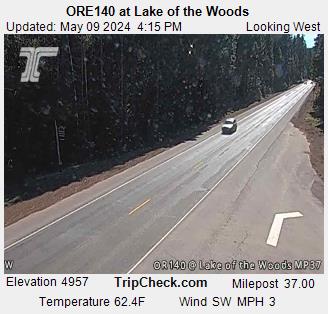
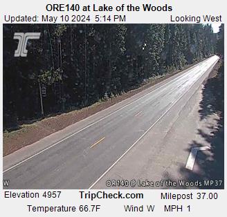
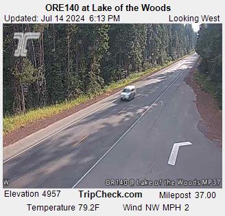
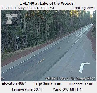
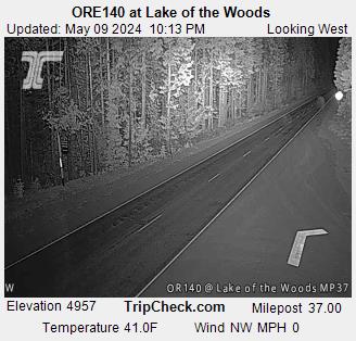
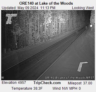
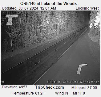
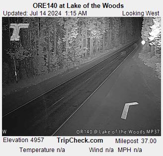
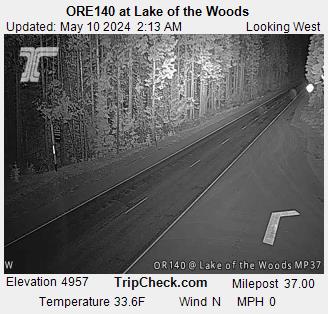
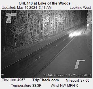
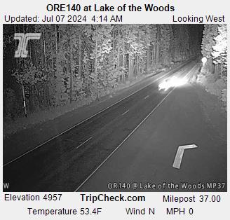
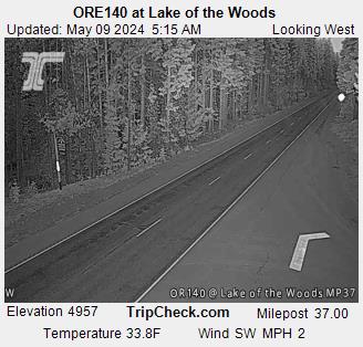
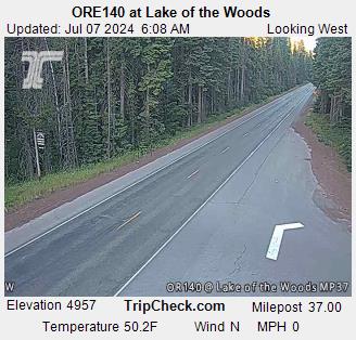
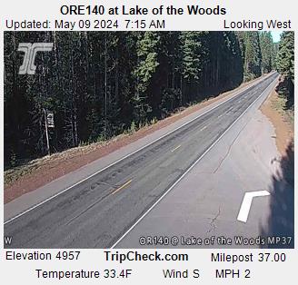
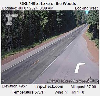
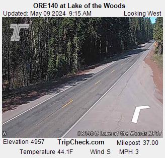
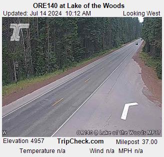
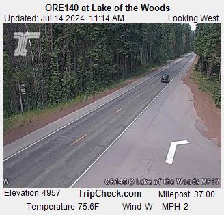
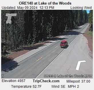
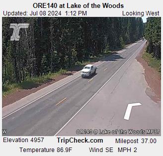
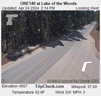
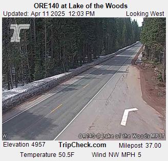
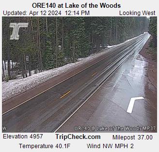
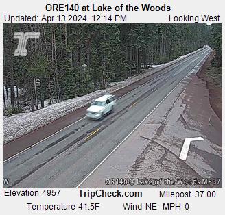
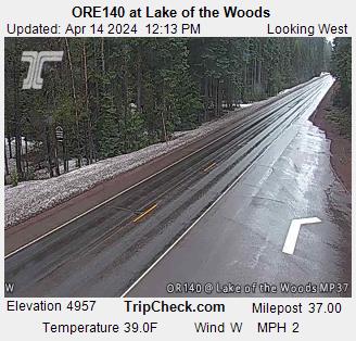
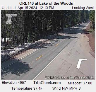
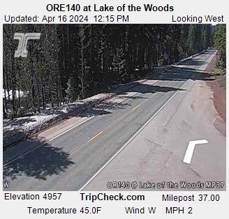
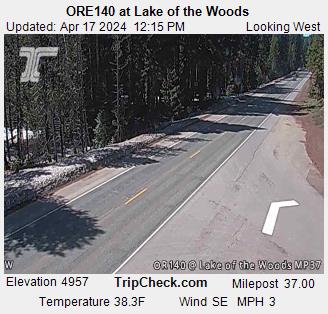
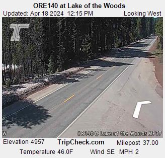
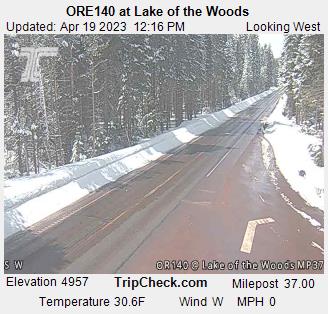
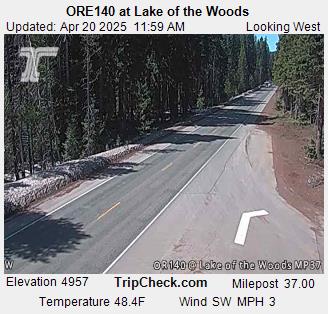
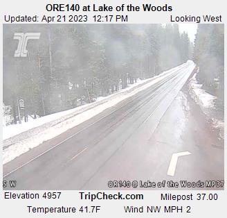
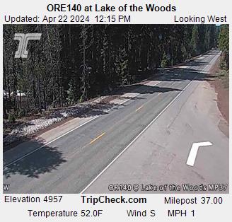
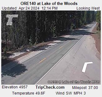
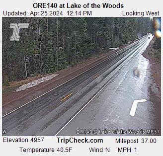
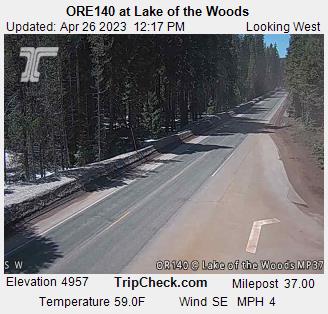
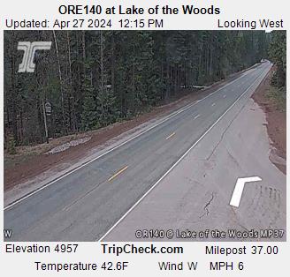
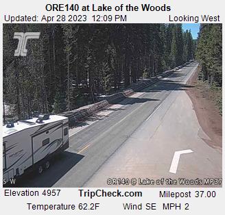
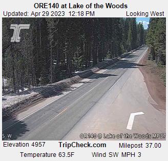
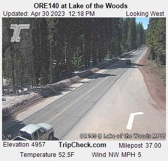
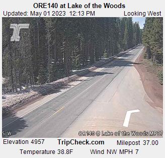
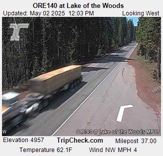
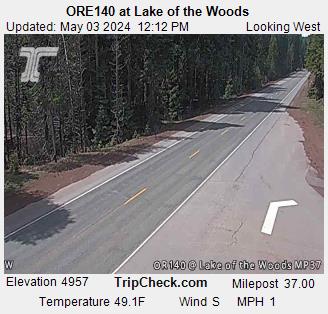
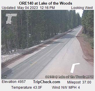
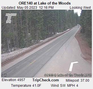
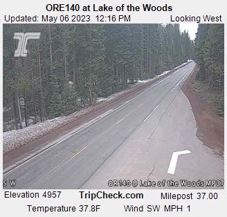
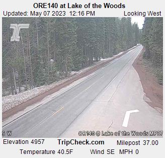
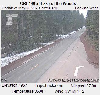
Lake of the Woods, Oregon, USA - 127.9 km da Civil Bend (historical): ORE140 at Lake of the Woods - Una vista sul traffico sul ORE140.
Operatore: Oregon Department of Transportation
Gio. 15:17
Gio. 16:17
Gio. 17:17
Gio. 18:17
Gio. 19:17
Gio. 20:17
Gio. 21:17
Gio. 22:17
Gio. 23:17
Ven. 00:17
Ven. 01:17
Ven. 02:17
Ven. 03:17
Ven. 04:17
Ven. 05:17
Ven. 06:17
Ven. 07:17
Ven. 08:17
Ven. 09:17
Ven. 10:17
Ven. 11:17
Ven. 12:17
Ven. 13:17
Ven. 14:17
Gio. 11.4.
Ven. 12.4.
Sab. 13.4.
Dom. 14.4.
Lun. 15.4.
Mar. 16.4.
Mer. 17.4.
Gio. 18.4.
Ven. 19.4.
Sab. 20.4.
Dom. 21.4.
Lun. 22.4.
Mar. 23.4.
Mer. 24.4.
Gio. 25.4.
Ven. 26.4.
Sab. 27.4.
Dom. 28.4.
Lun. 29.4.
Mar. 30.4.
Mer. 1.5.
Gio. 2.5.
Ven. 3.5.
Sab. 4.5.
Dom. 5.5.
Lun. 6.5.
Mar. 7.5.
Mer. 8.5.
Gio. 9.5.
Ven. 10.5.
Operatore: Oregon Department of Transportation
Gio. 15:17
Gio. 16:17
Gio. 17:17
Gio. 18:17
Gio. 19:17
Gio. 20:17
Gio. 21:17
Gio. 22:17
Gio. 23:17
Ven. 00:17
Ven. 01:17
Ven. 02:17
Ven. 03:17
Ven. 04:17
Ven. 05:17
Ven. 06:17
Ven. 07:17
Ven. 08:17
Ven. 09:17
Ven. 10:17
Ven. 11:17
Ven. 12:17
Ven. 13:17
Ven. 14:17
Gio. 11.4.
Ven. 12.4.
Sab. 13.4.
Dom. 14.4.
Lun. 15.4.
Mar. 16.4.
Mer. 17.4.
Gio. 18.4.
Ven. 19.4.
Sab. 20.4.
Dom. 21.4.
Lun. 22.4.

Mar. 23.4.
Mer. 24.4.
Gio. 25.4.
Ven. 26.4.
Sab. 27.4.
Dom. 28.4.
Lun. 29.4.
Mar. 30.4.
Mer. 1.5.
Gio. 2.5.
Ven. 3.5.
Sab. 4.5.
Dom. 5.5.
Lun. 6.5.
Mar. 7.5.
Mer. 8.5.

Gio. 9.5.

Ven. 10.5.

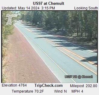
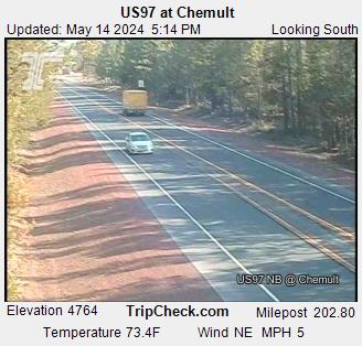
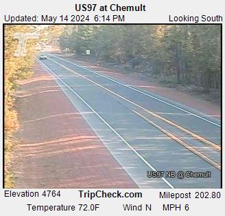
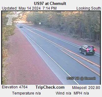
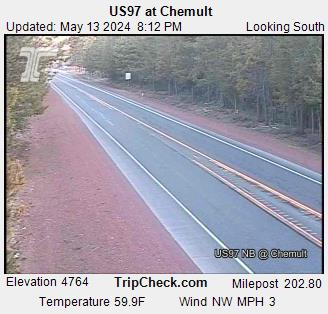
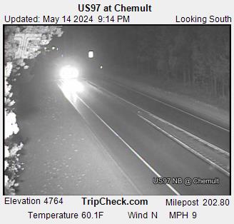
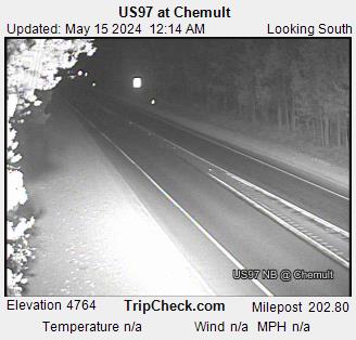
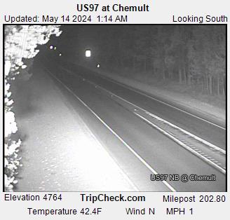
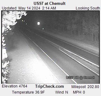
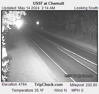
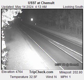
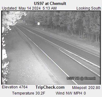
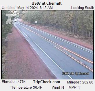
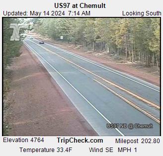
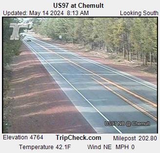
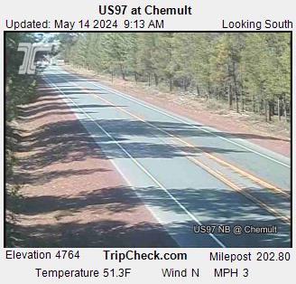
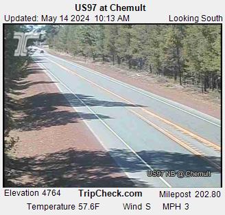
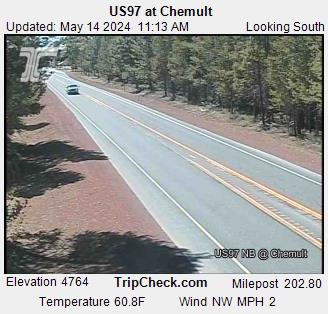
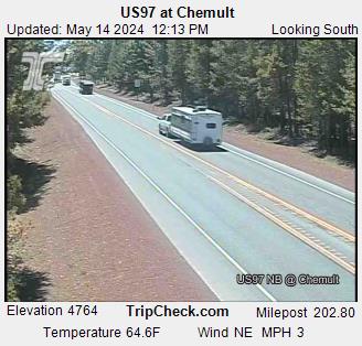
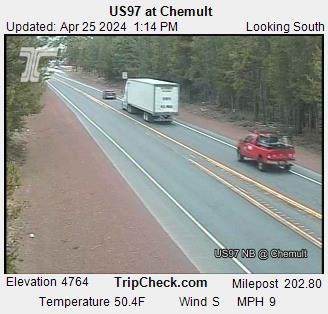
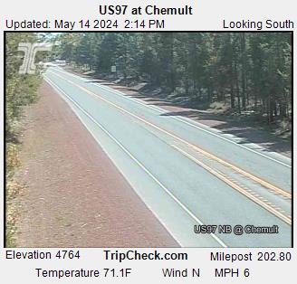
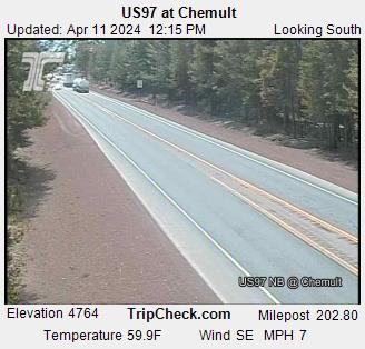
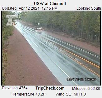
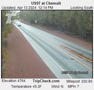
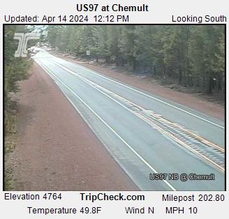
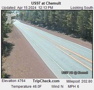
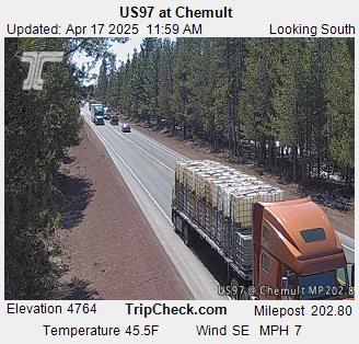
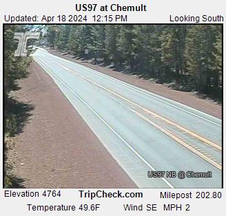
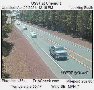
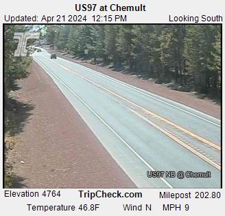
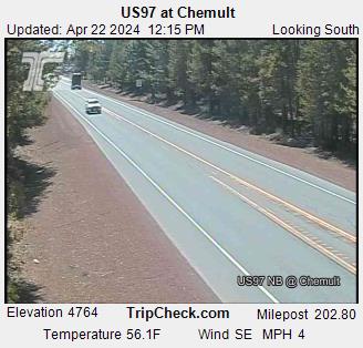
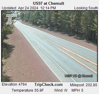
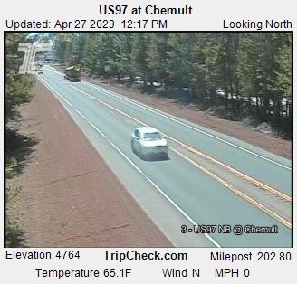
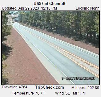
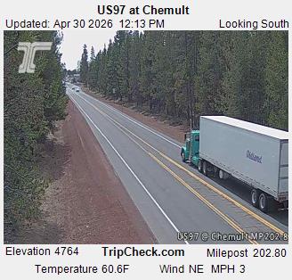
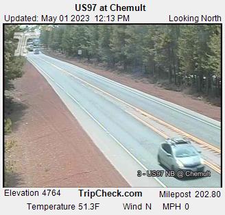
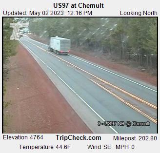
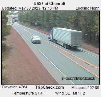
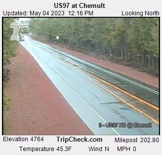
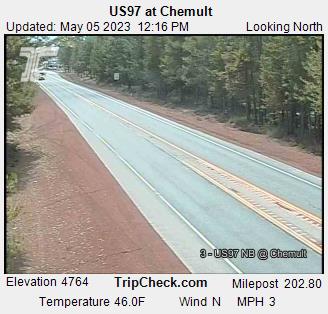
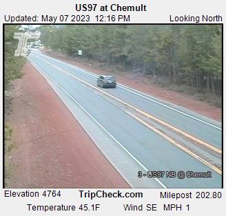
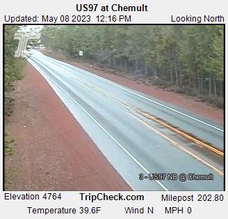
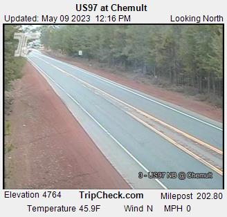
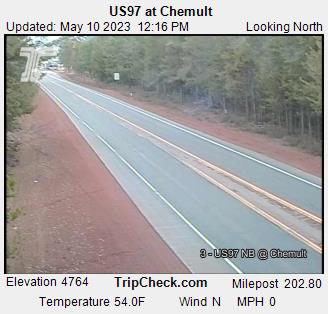
Chemult, Oregon, USA - 133.7 km da Civil Bend (historical): US97 at Chemult - Una vista sul traffico sul US97.
Operatore: Oregon Department of Transportation
Gio. 15:17
Gio. 16:17
Gio. 17:17
Gio. 18:17
Gio. 19:17
Gio. 20:17
Gio. 21:17
Gio. 22:17
Gio. 23:17
Ven. 00:17
Ven. 01:17
Ven. 02:17
Ven. 03:17
Ven. 04:17
Ven. 05:17
Ven. 06:17
Ven. 07:17
Ven. 08:17
Ven. 09:17
Ven. 10:17
Ven. 11:17
Ven. 12:17
Ven. 13:17
Ven. 14:17
Gio. 11.4.
Ven. 12.4.
Sab. 13.4.
Dom. 14.4.
Lun. 15.4.
Mar. 16.4.
Mer. 17.4.
Gio. 18.4.
Ven. 19.4.
Sab. 20.4.
Dom. 21.4.
Lun. 22.4.
Mar. 23.4.
Mer. 24.4.
Gio. 25.4.
Ven. 26.4.
Sab. 27.4.
Dom. 28.4.
Lun. 29.4.
Mar. 30.4.
Mer. 1.5.
Gio. 2.5.
Ven. 3.5.
Sab. 4.5.
Dom. 5.5.
Lun. 6.5.
Mar. 7.5.
Mer. 8.5.
Gio. 9.5.
Ven. 10.5.
Operatore: Oregon Department of Transportation
Gio. 15:17

Gio. 16:17
Gio. 17:17
Gio. 18:17
Gio. 19:17
Gio. 20:17
Gio. 21:17
Gio. 22:17
Gio. 23:17
Ven. 00:17
Ven. 01:17
Ven. 02:17
Ven. 03:17
Ven. 04:17
Ven. 05:17
Ven. 06:17
Ven. 07:17
Ven. 08:17
Ven. 09:17
Ven. 10:17
Ven. 11:17
Ven. 12:17
Ven. 13:17
Ven. 14:17
Gio. 11.4.
Ven. 12.4.
Sab. 13.4.
Dom. 14.4.
Lun. 15.4.

Mar. 16.4.
Mer. 17.4.
Gio. 18.4.

Ven. 19.4.
Sab. 20.4.
Dom. 21.4.
Lun. 22.4.

Mar. 23.4.
Mer. 24.4.

Gio. 25.4.

Ven. 26.4.
Sab. 27.4.

Dom. 28.4.
Lun. 29.4.
Mar. 30.4.
Mer. 1.5.
Gio. 2.5.
Ven. 3.5.
Sab. 4.5.
Dom. 5.5.

Lun. 6.5.
Mar. 7.5.
Mer. 8.5.
Gio. 9.5.
Ven. 10.5.
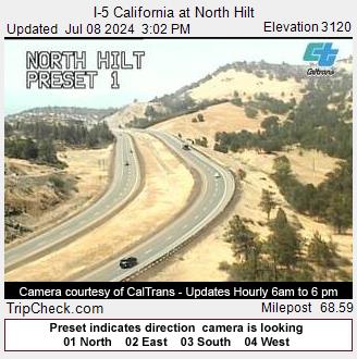
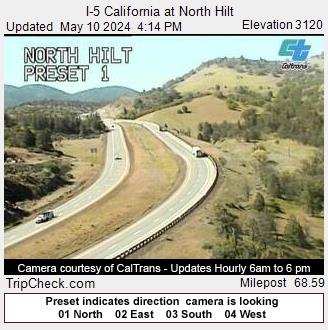
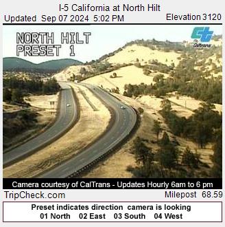
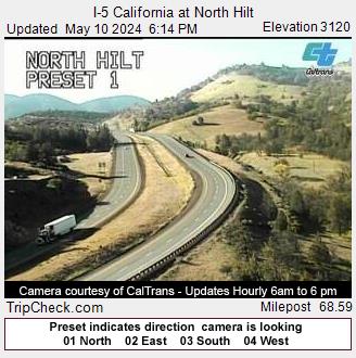
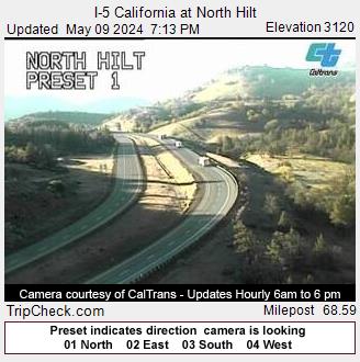
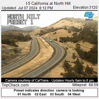
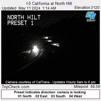
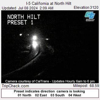
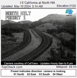
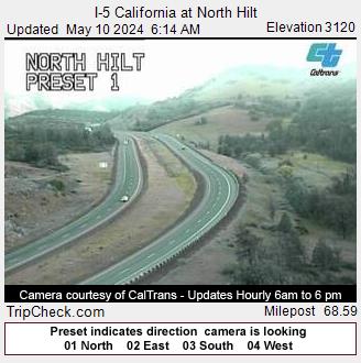
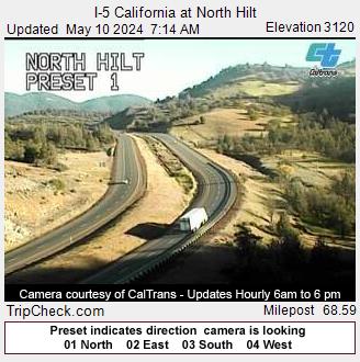
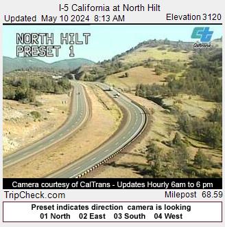
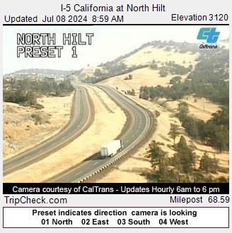
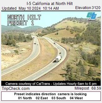
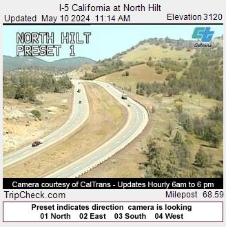
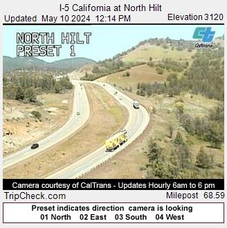
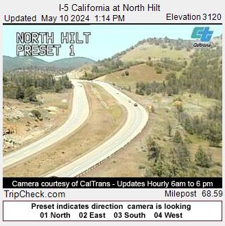
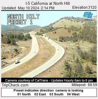
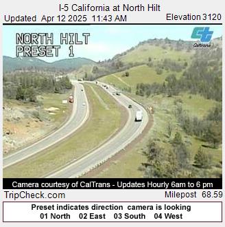
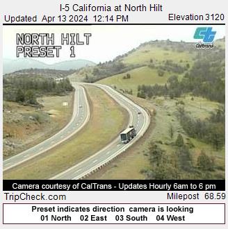
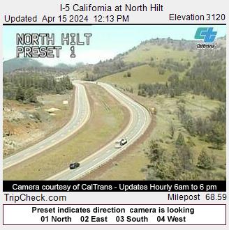
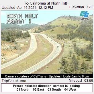
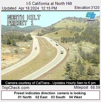
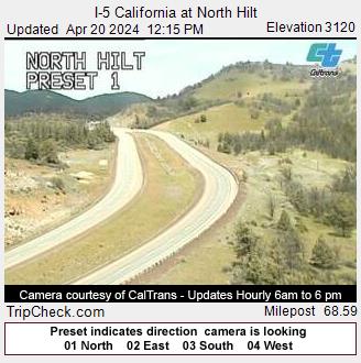
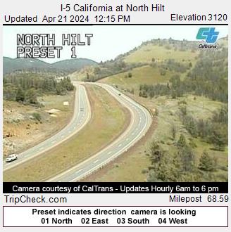
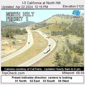
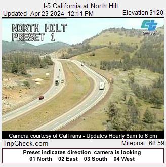
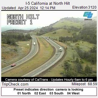
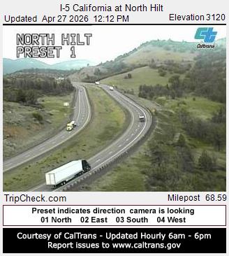
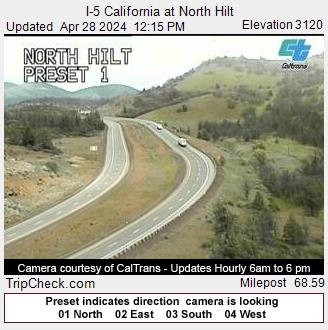
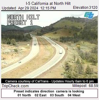
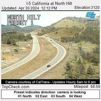
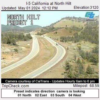
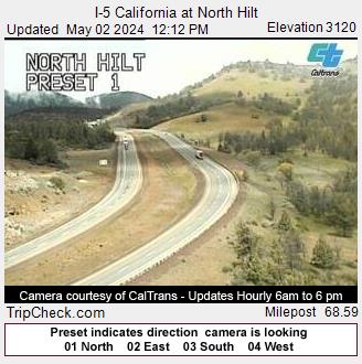
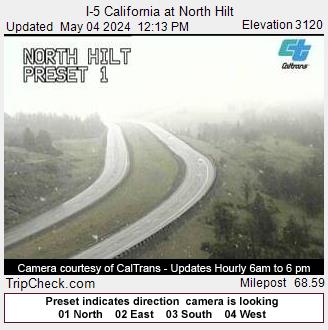
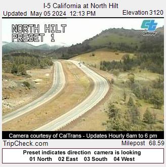
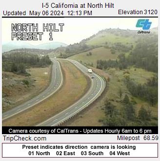
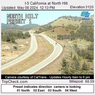
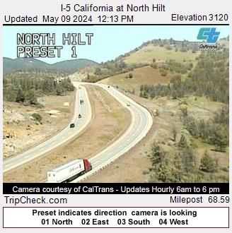
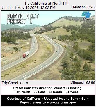
Hilt, California, USA - 140 km da Civil Bend (historical): I-5 California at North Hilt - Una vista sul traffico sul I-5.
Operatore: Oregon Department of Transportation
Gio. 15:17
Gio. 16:17
Gio. 17:17
Gio. 18:17
Gio. 19:17
Gio. 20:17
Gio. 21:17
Gio. 22:17
Gio. 23:17
Ven. 00:17
Ven. 01:17
Ven. 02:17
Ven. 03:17
Ven. 04:17
Ven. 05:17
Ven. 06:17
Ven. 07:17
Ven. 08:17
Ven. 09:17
Ven. 10:17
Ven. 11:17
Ven. 12:17
Ven. 13:17
Ven. 14:17
Gio. 11.4.
Ven. 12.4.
Sab. 13.4.
Dom. 14.4.
Lun. 15.4.
Mar. 16.4.
Mer. 17.4.
Gio. 18.4.
Ven. 19.4.
Sab. 20.4.
Dom. 21.4.
Lun. 22.4.
Mar. 23.4.
Mer. 24.4.
Gio. 25.4.
Ven. 26.4.
Sab. 27.4.
Dom. 28.4.
Lun. 29.4.
Mar. 30.4.
Mer. 1.5.
Gio. 2.5.
Ven. 3.5.
Sab. 4.5.
Dom. 5.5.
Lun. 6.5.
Mar. 7.5.
Mer. 8.5.
Gio. 9.5.
Ven. 10.5.
Operatore: Oregon Department of Transportation
Gio. 15:17
Gio. 16:17
Gio. 17:17
Gio. 18:17
Gio. 19:17
Gio. 20:17
Gio. 21:17

Gio. 22:17
Gio. 23:17
Ven. 00:17
Ven. 01:17
Ven. 02:17
Ven. 03:17
Ven. 04:17
Ven. 05:17
Ven. 06:17
Ven. 07:17
Ven. 08:17
Ven. 09:17
Ven. 10:17
Ven. 11:17
Ven. 12:17
Ven. 13:17
Ven. 14:17

Gio. 11.4.
Ven. 12.4.
Sab. 13.4.

Dom. 14.4.
Lun. 15.4.
Mar. 16.4.

Mer. 17.4.
Gio. 18.4.

Ven. 19.4.
Sab. 20.4.
Dom. 21.4.
Lun. 22.4.
Mar. 23.4.

Mer. 24.4.
Gio. 25.4.

Ven. 26.4.
Sab. 27.4.
Dom. 28.4.
Lun. 29.4.
Mar. 30.4.
Mer. 1.5.
Gio. 2.5.

Ven. 3.5.
Sab. 4.5.
Dom. 5.5.
Lun. 6.5.

Mar. 7.5.
Mer. 8.5.
Gio. 9.5.
Ven. 10.5.

Newport, Oregon, USA - 177.4 km da Civil Bend (historical): Yaquina Bay, Newport - Oregon Coast - Incantevole vista della Embarcadero Marina e della baia, sullo sfondo lo Yaquina Bay Bridge.
Operatore: Skyline Webcams
Gio. 15:18
Gio. 16:18
Gio. 17:18
Gio. 18:18
Gio. 19:18
Gio. 20:18
Gio. 21:18
Gio. 22:18
Gio. 23:18
Ven. 00:18
Ven. 01:18
Ven. 02:18
Ven. 03:18
Ven. 04:18
Ven. 05:18
Ven. 06:18
Ven. 07:18
Ven. 08:18
Ven. 09:18
Ven. 10:18
Ven. 11:18
Ven. 12:18
Ven. 13:18
Ven. 14:18
Gio. 11.4.
Ven. 12.4.
Sab. 13.4.
Dom. 14.4.
Lun. 15.4.
Mar. 16.4.
Mer. 17.4.
Gio. 18.4.
Ven. 19.4.
Sab. 20.4.
Dom. 21.4.
Lun. 22.4.
Mar. 23.4.
Mer. 24.4.
Gio. 25.4.
Ven. 26.4.
Sab. 27.4.
Dom. 28.4.
Lun. 29.4.
Mar. 30.4.
Mer. 1.5.
Gio. 2.5.
Ven. 3.5.
Sab. 4.5.
Dom. 5.5.
Lun. 6.5.
Mar. 7.5.
Mer. 8.5.
Gio. 9.5.
Ven. 10.5.
Operatore: Skyline Webcams

Gio. 15:18

Gio. 16:18

Gio. 17:18

Gio. 18:18

Gio. 19:18

Gio. 20:18

Gio. 21:18

Gio. 22:18

Gio. 23:18

Ven. 00:18

Ven. 01:18

Ven. 02:18

Ven. 03:18

Ven. 04:18

Ven. 05:18

Ven. 06:18

Ven. 07:18

Ven. 08:18

Ven. 09:18

Ven. 10:18

Ven. 11:18

Ven. 12:18

Ven. 13:18

Ven. 14:18

Gio. 11.4.

Ven. 12.4.

Sab. 13.4.

Dom. 14.4.

Lun. 15.4.

Mar. 16.4.

Mer. 17.4.

Gio. 18.4.

Ven. 19.4.

Sab. 20.4.

Dom. 21.4.

Lun. 22.4.

Mar. 23.4.

Mer. 24.4.

Gio. 25.4.

Ven. 26.4.

Sab. 27.4.

Dom. 28.4.

Lun. 29.4.

Mar. 30.4.

Mer. 1.5.

Gio. 2.5.

Ven. 3.5.

Sab. 4.5.

Dom. 5.5.

Lun. 6.5.

Mar. 7.5.

Mer. 8.5.

Gio. 9.5.

Ven. 10.5.

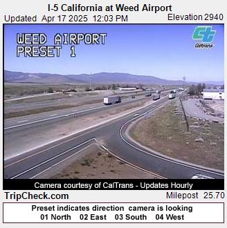
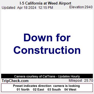
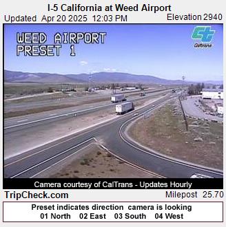
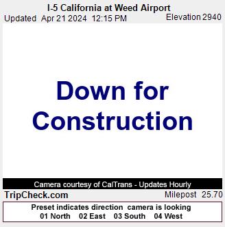
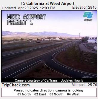
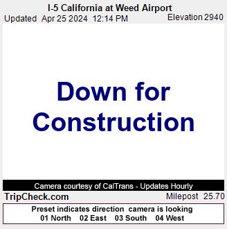
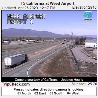
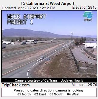
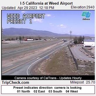
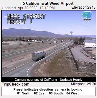
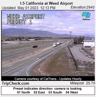
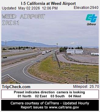
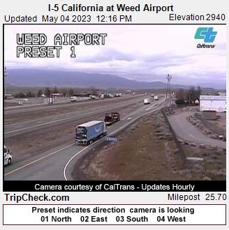
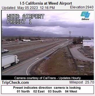
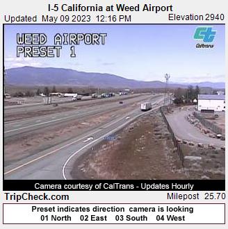
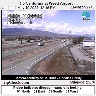
Weed, California, USA - 205.9 km da Civil Bend (historical): I-5 California at Weed Airport - Una vista sul traffico sul I-5.
Operatore: Oregon Department of Transportation
Gio. 15:17
Gio. 16:17
Gio. 17:17
Gio. 18:17
Gio. 19:17
Gio. 20:17
Gio. 21:17
Gio. 22:17
Gio. 23:17
Ven. 00:17
Ven. 01:17
Ven. 02:17
Ven. 03:17
Ven. 04:17
Ven. 05:17
Ven. 06:17
Ven. 07:17
Ven. 08:17
Ven. 09:17
Ven. 10:17
Ven. 11:17
Ven. 12:17
Ven. 13:17
Ven. 14:17
Gio. 11.4.
Ven. 12.4.
Sab. 13.4.
Dom. 14.4.
Lun. 15.4.
Mar. 16.4.
Mer. 17.4.
Gio. 18.4.
Ven. 19.4.
Sab. 20.4.
Dom. 21.4.
Lun. 22.4.
Mar. 23.4.
Mer. 24.4.
Gio. 25.4.
Ven. 26.4.
Sab. 27.4.
Dom. 28.4.
Lun. 29.4.
Mar. 30.4.
Mer. 1.5.
Gio. 2.5.
Ven. 3.5.
Sab. 4.5.
Dom. 5.5.
Lun. 6.5.
Mar. 7.5.
Mer. 8.5.
Gio. 9.5.
Ven. 10.5.
Operatore: Oregon Department of Transportation
Gio. 15:17

Gio. 16:17

Gio. 17:17

Gio. 18:17

Gio. 19:17

Gio. 20:17

Gio. 21:17

Gio. 22:17

Gio. 23:17

Ven. 00:17

Ven. 01:17

Ven. 02:17
Ven. 03:17

Ven. 04:17

Ven. 05:17

Ven. 06:17
Ven. 07:17

Ven. 08:17

Ven. 09:17

Ven. 10:17

Ven. 11:17

Ven. 12:17

Ven. 13:17

Ven. 14:17

Gio. 11.4.

Ven. 12.4.

Sab. 13.4.

Dom. 14.4.

Lun. 15.4.

Mar. 16.4.
Mer. 17.4.
Gio. 18.4.

Ven. 19.4.
Sab. 20.4.
Dom. 21.4.

Lun. 22.4.
Mar. 23.4.

Mer. 24.4.
Gio. 25.4.
Ven. 26.4.

Sab. 27.4.
Dom. 28.4.
Lun. 29.4.
Mar. 30.4.
Mer. 1.5.
Gio. 2.5.

Ven. 3.5.
Sab. 4.5.
Dom. 5.5.

Lun. 6.5.

Mar. 7.5.

Mer. 8.5.
Gio. 9.5.
Ven. 10.5.
Alcuni altri luoghi in questo paese: Buck Fork (historical) - Hoaglin (historical) - Oak Creek (historical) - Amos (historical) - Wallace (historical) - Calvert (historical) - Brownlee - Greenback (historical) - Ripplebrook - Bull Run