Webcam nella Regione di Summit, South Dakota, USA
La lista delle webcam vicino a Summit, South Dakota, USA:
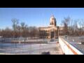
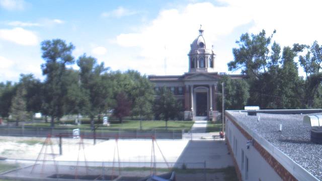
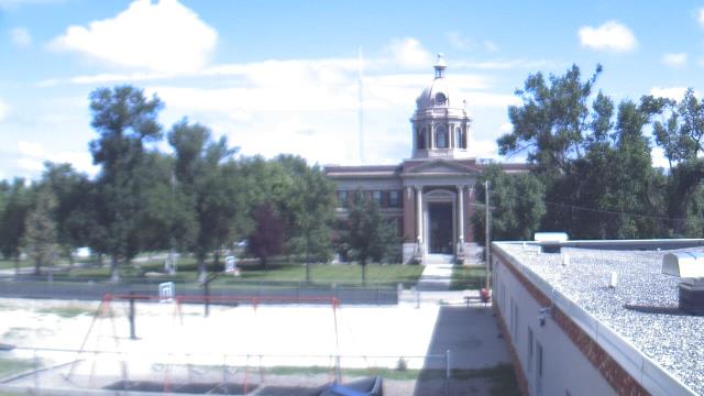
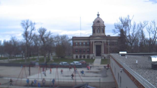
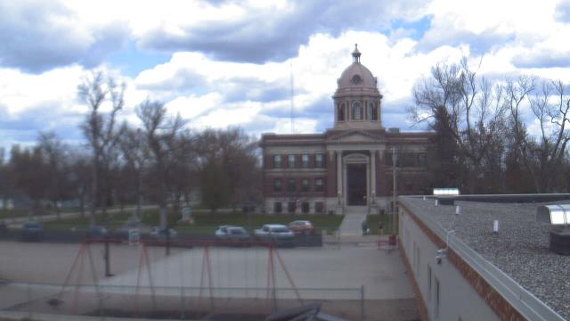
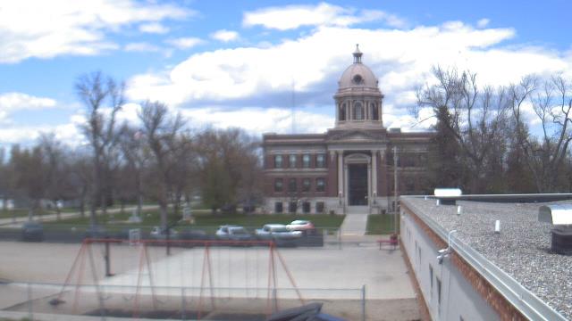
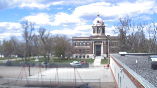
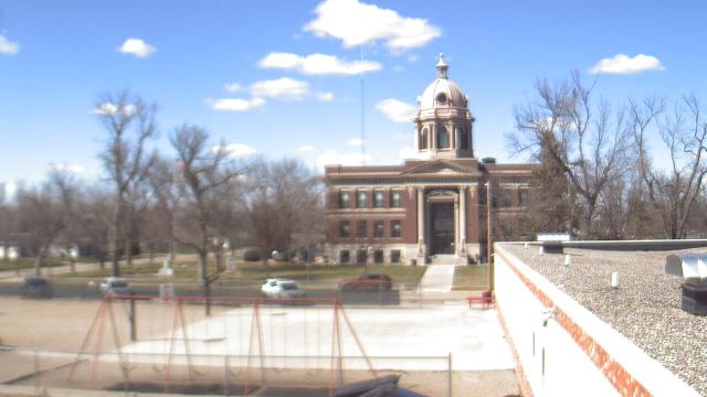
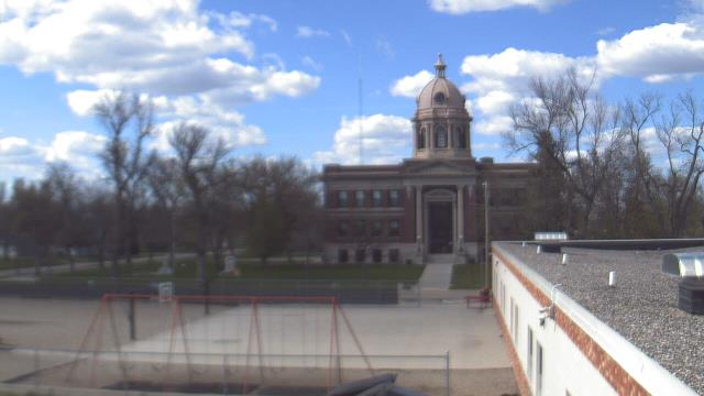
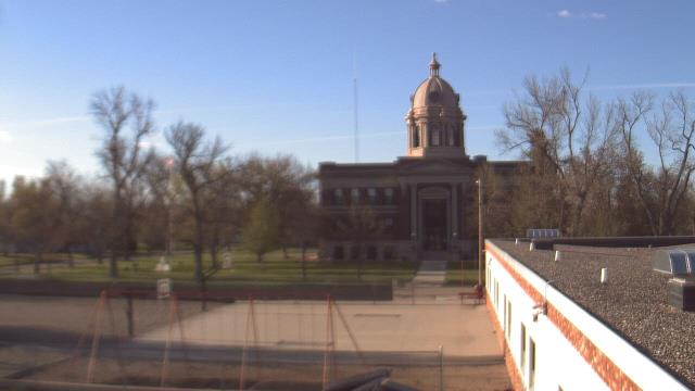
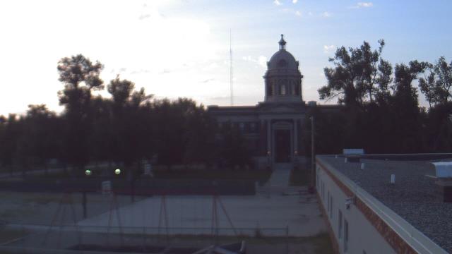
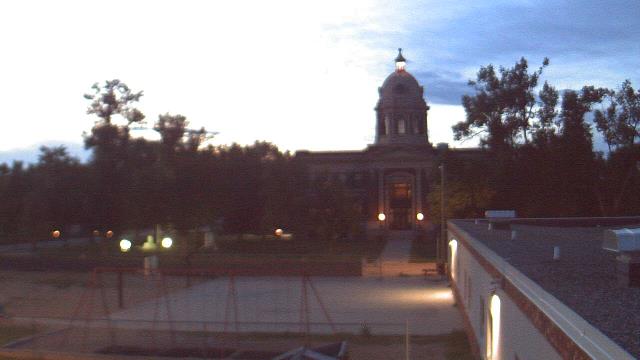
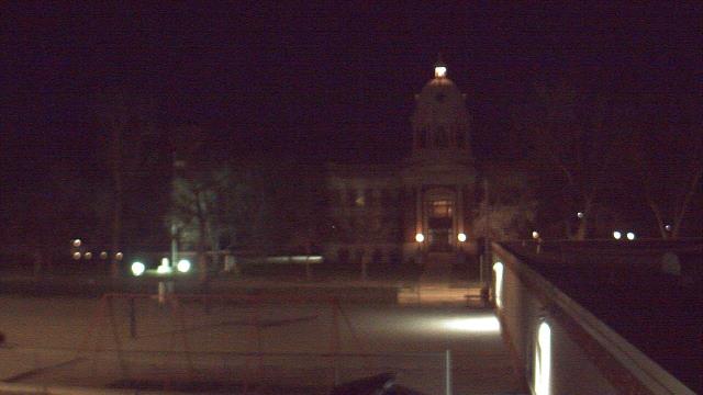
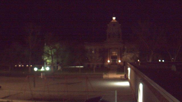
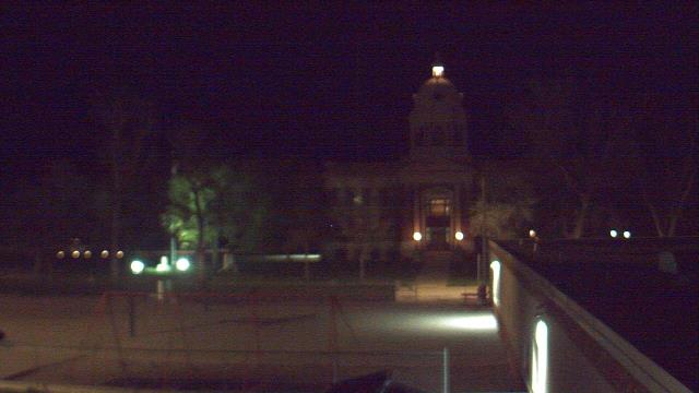
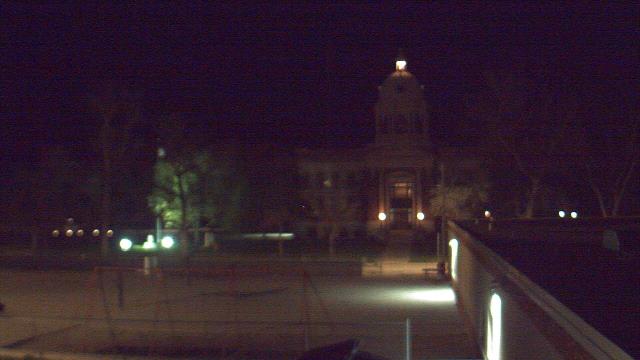
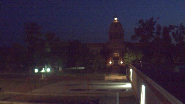
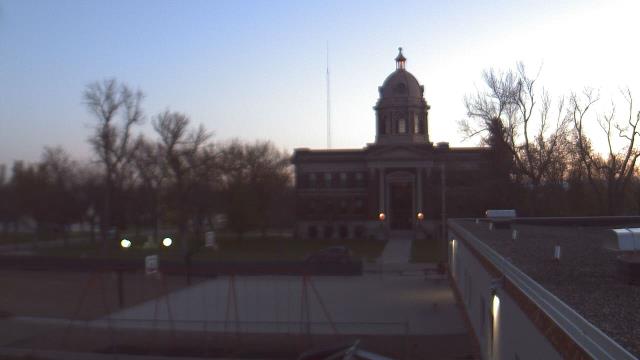
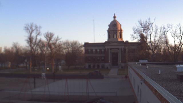
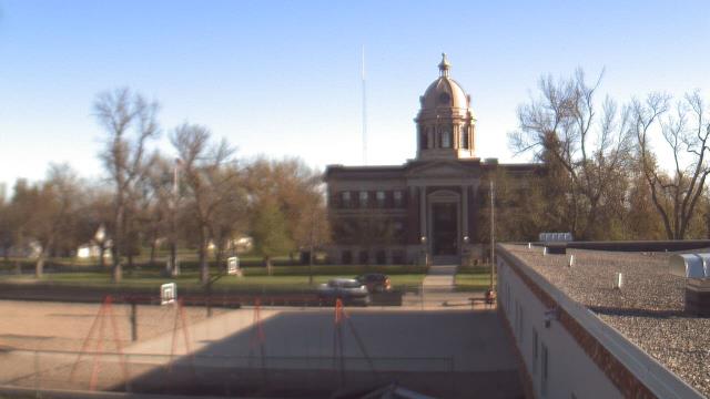
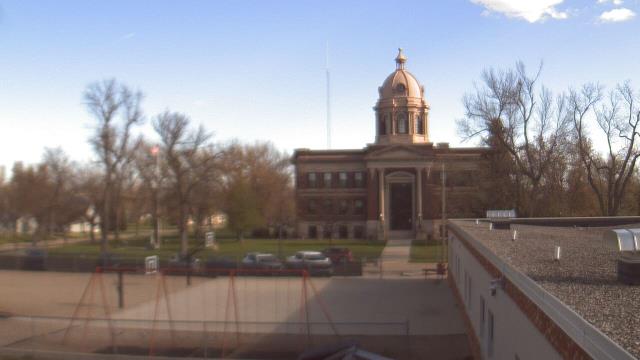
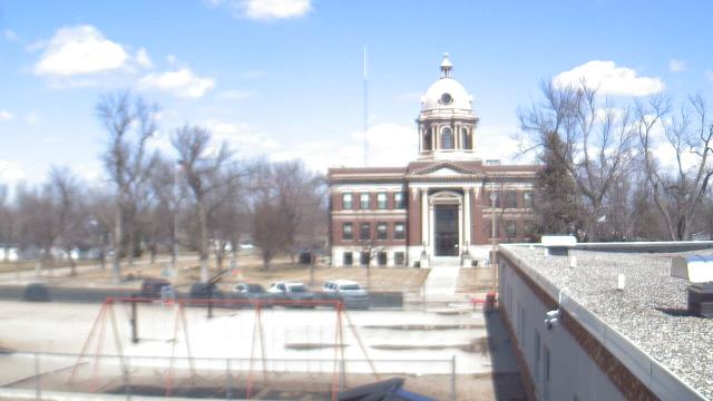
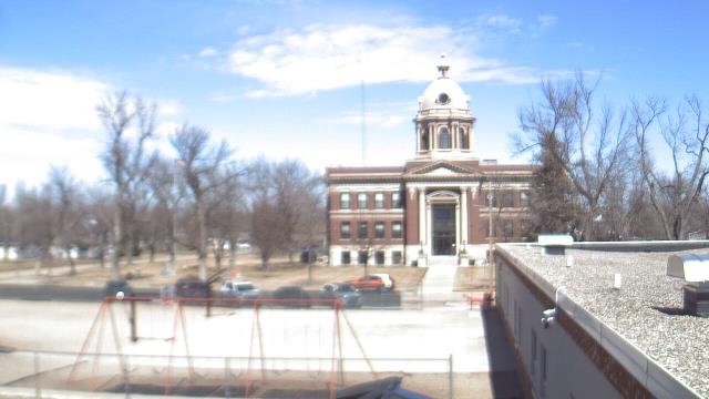
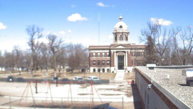
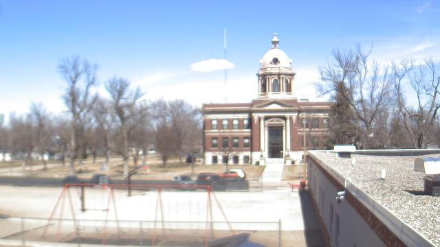
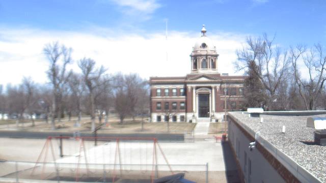
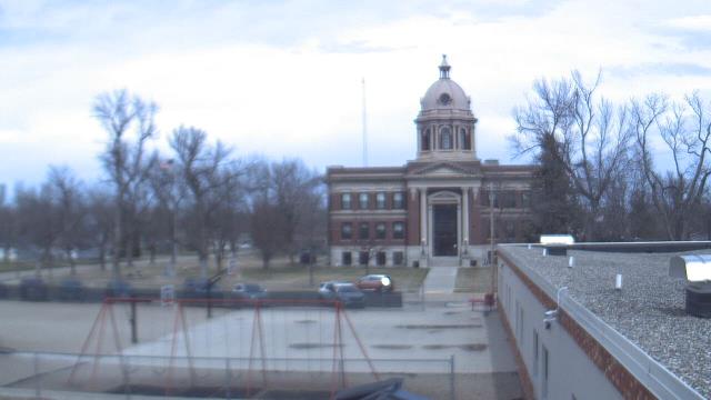
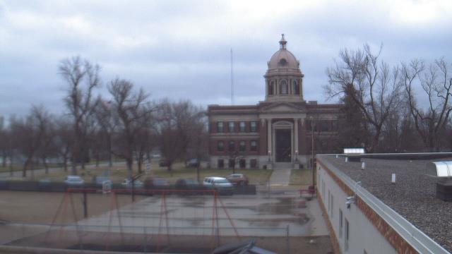
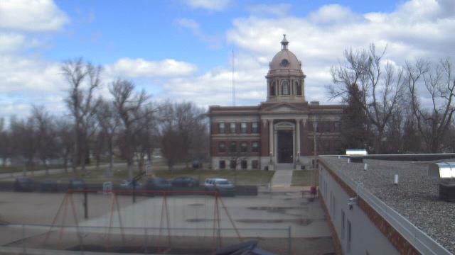
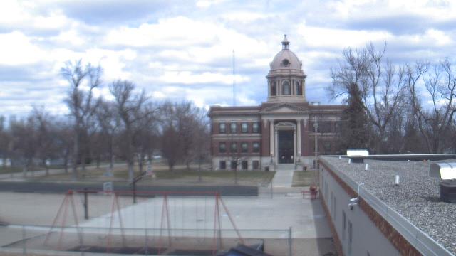
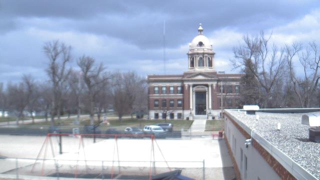
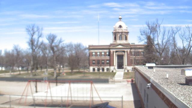
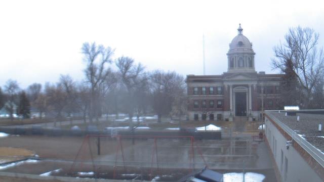
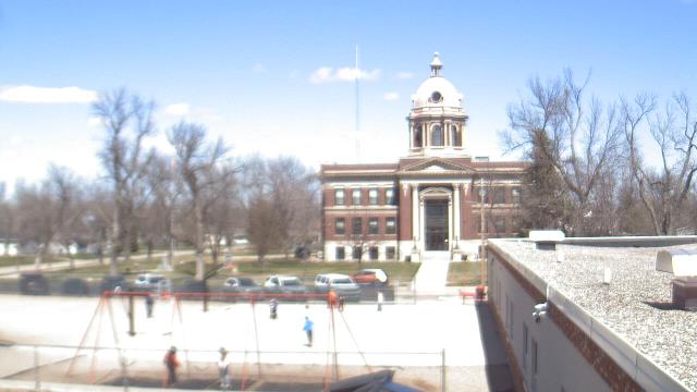
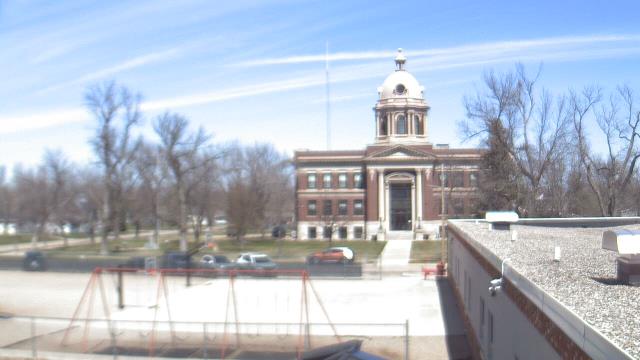
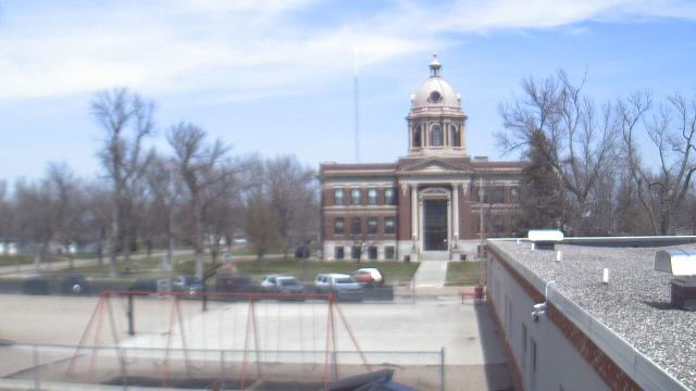
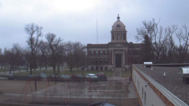
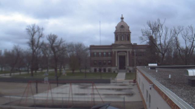
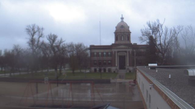
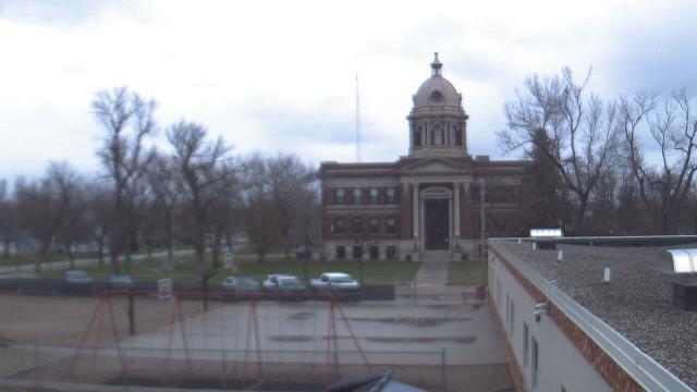
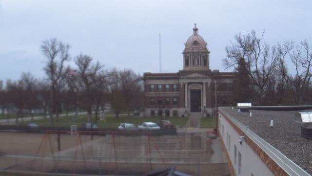
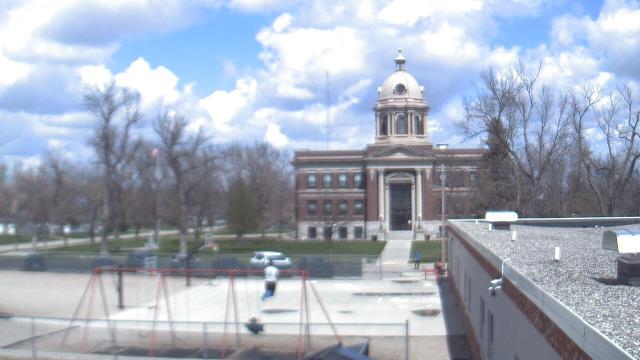
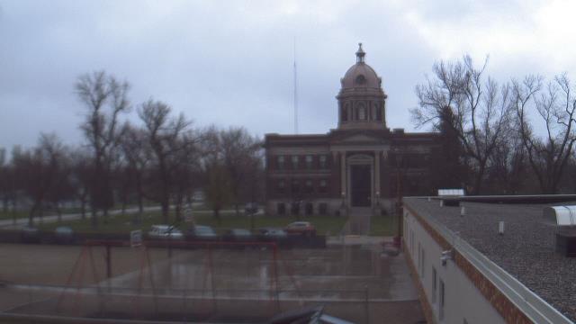
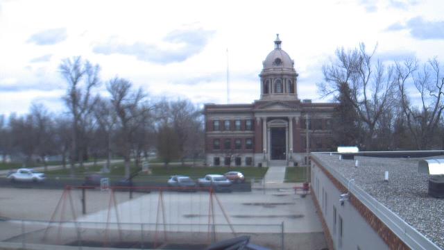
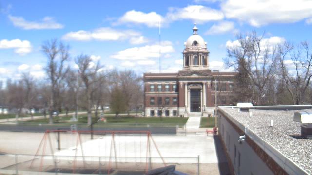
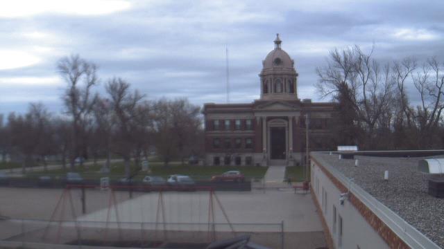
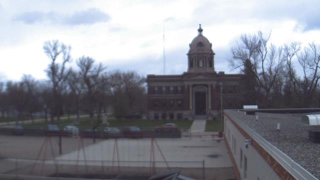
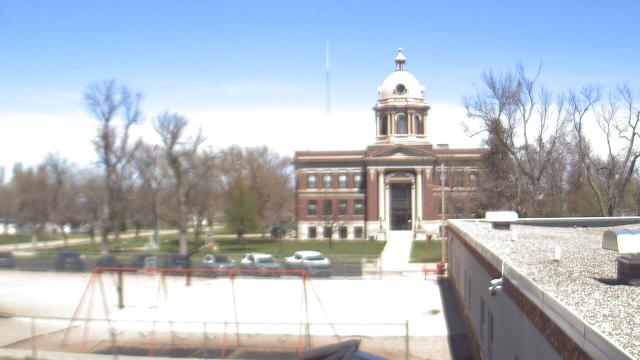
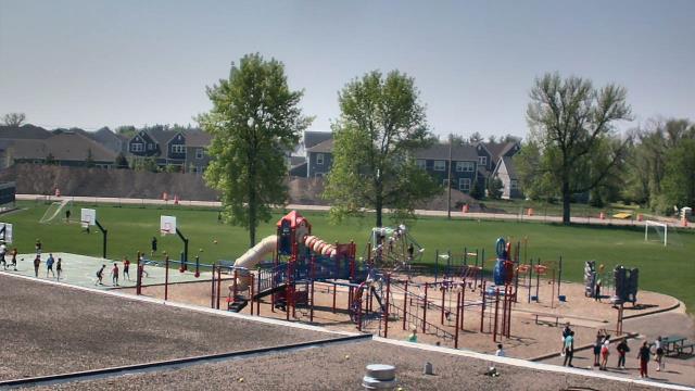
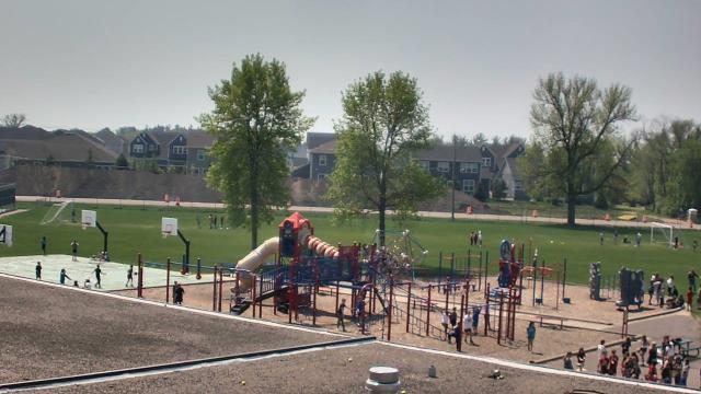
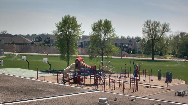
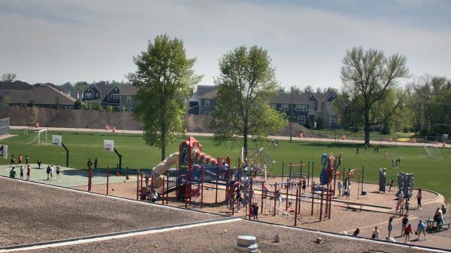
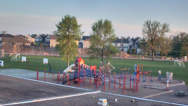
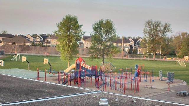
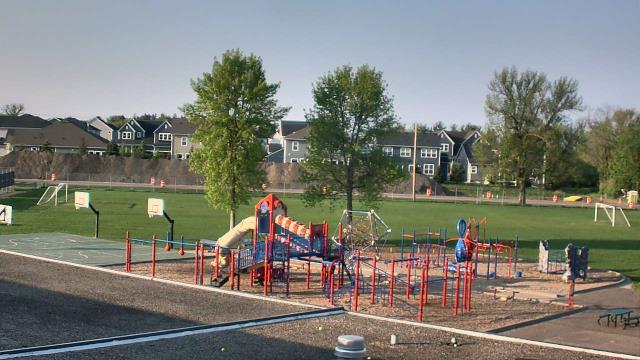
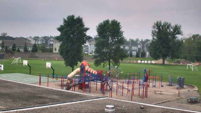
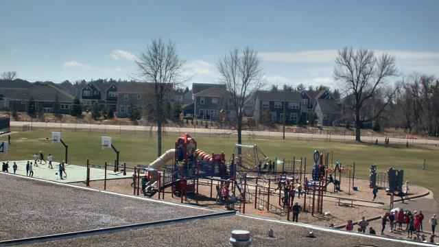
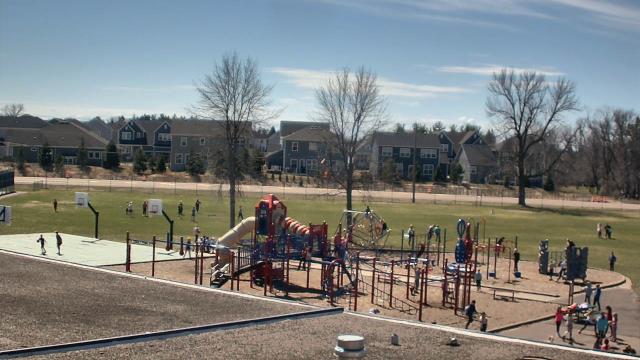
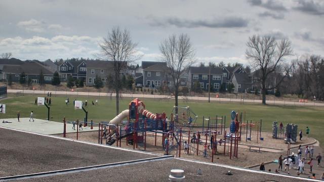
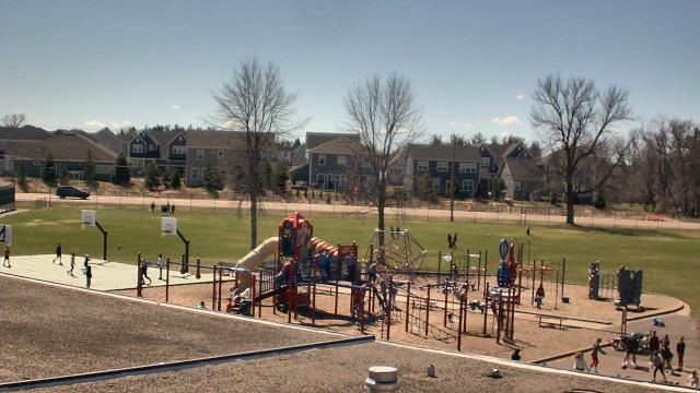
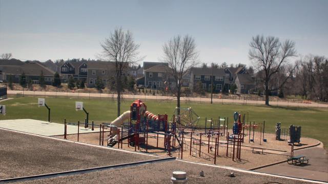
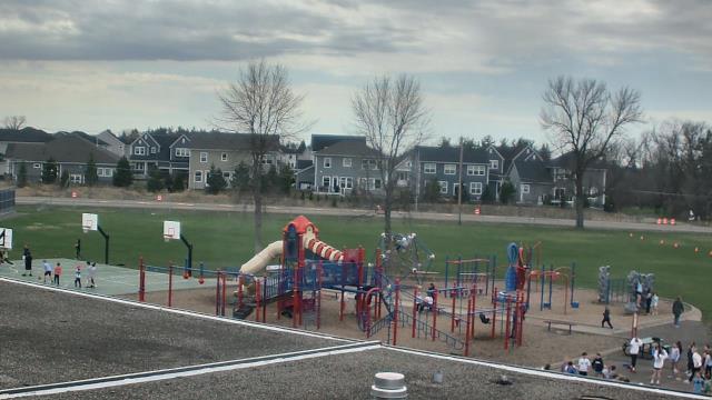
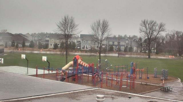
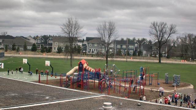
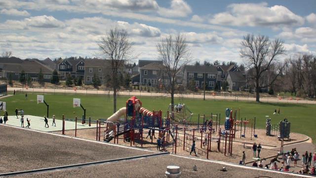
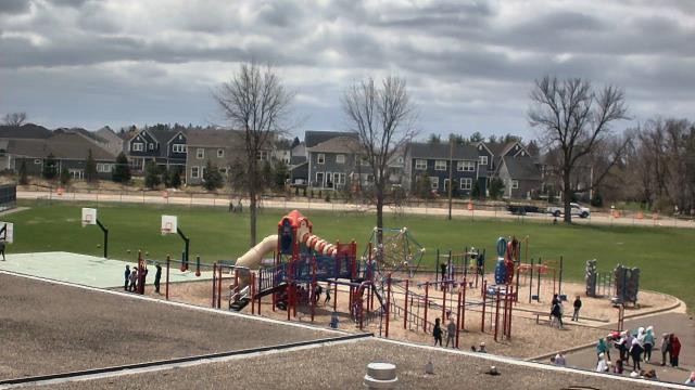
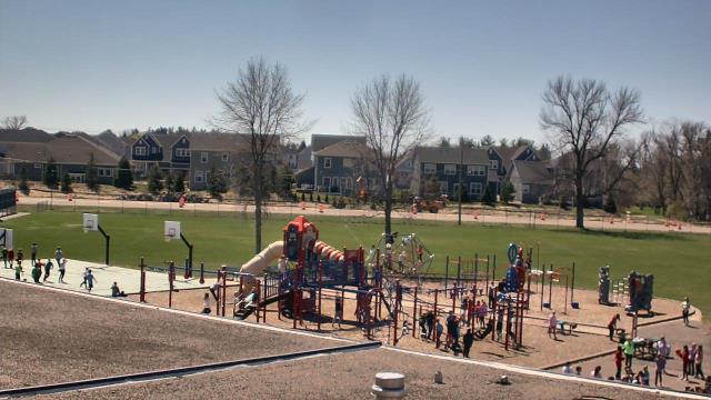
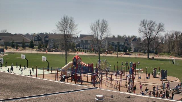
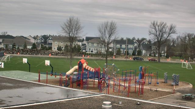
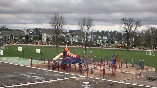
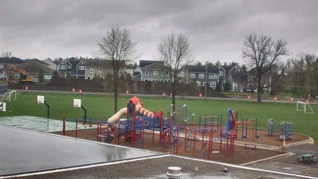
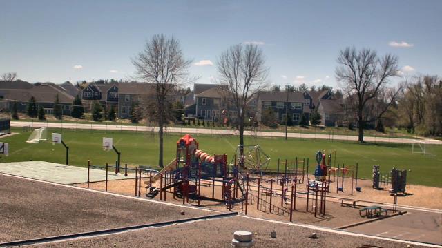
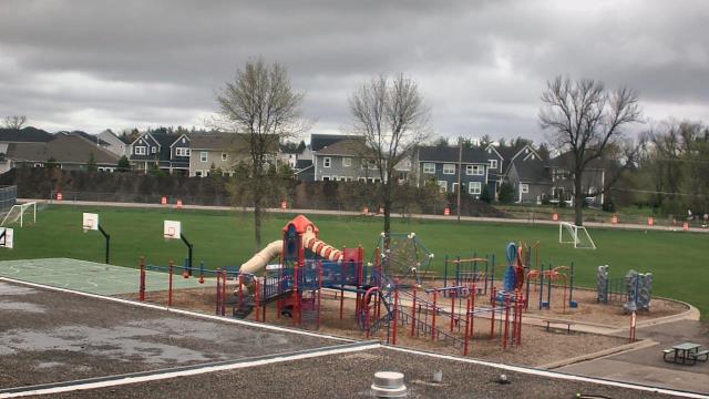
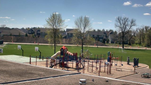
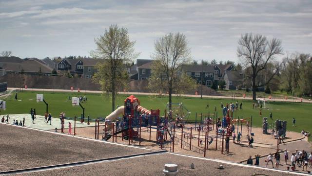
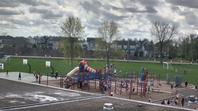
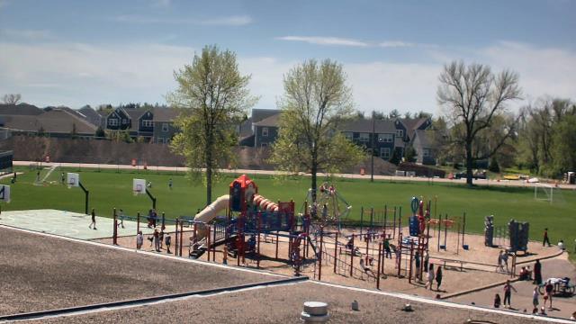
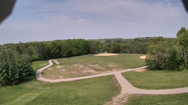
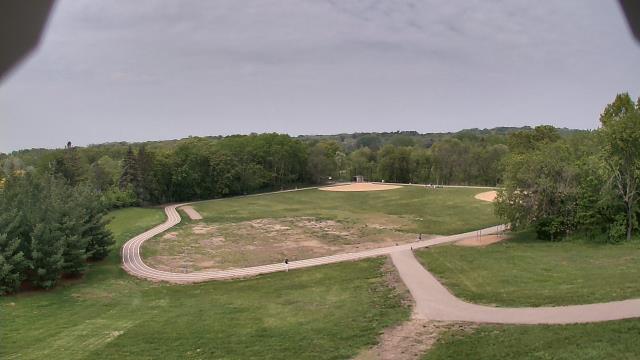
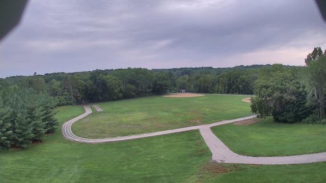
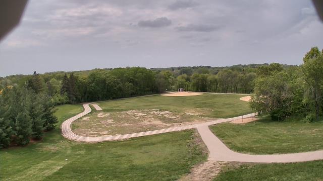
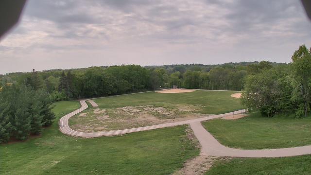
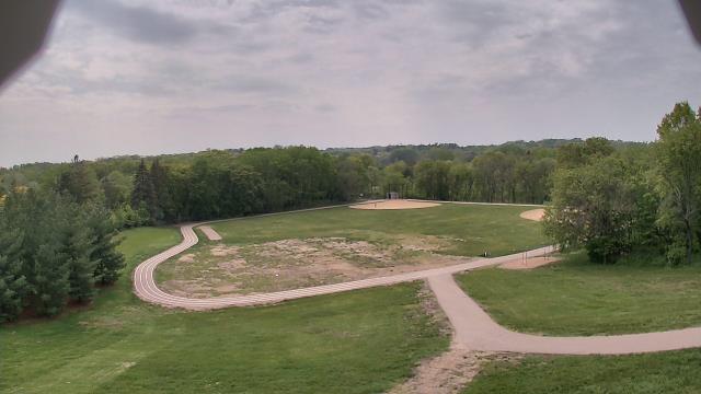
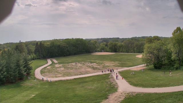
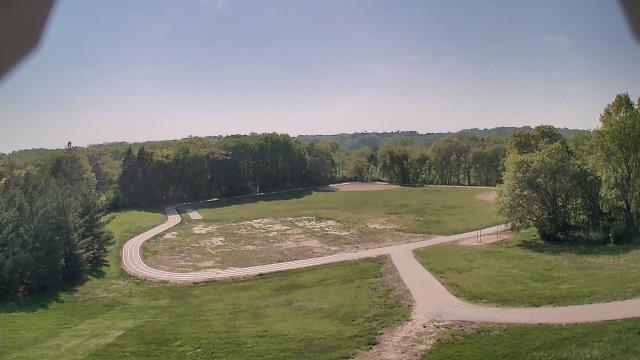
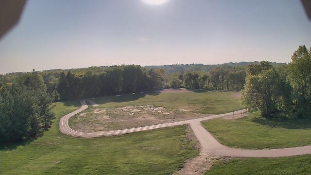
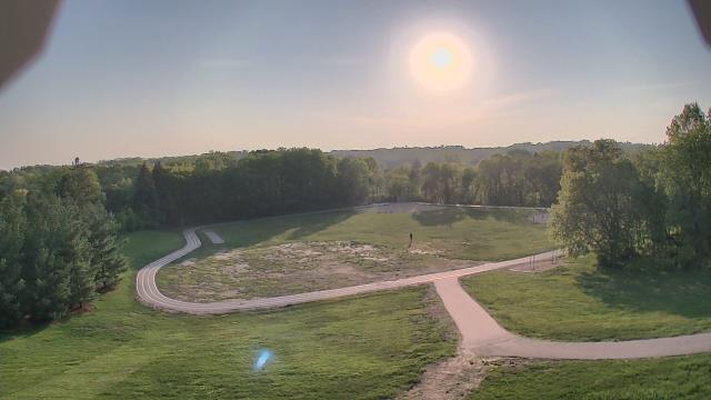
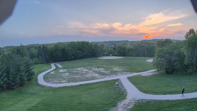
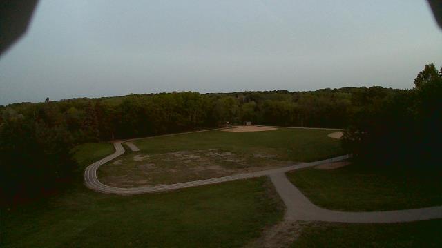
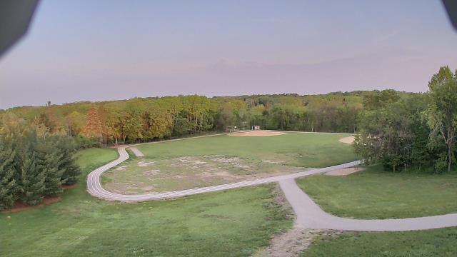
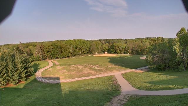
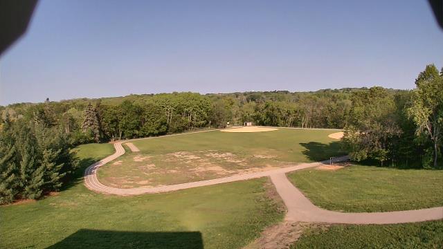
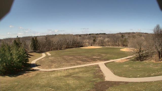
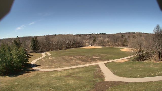
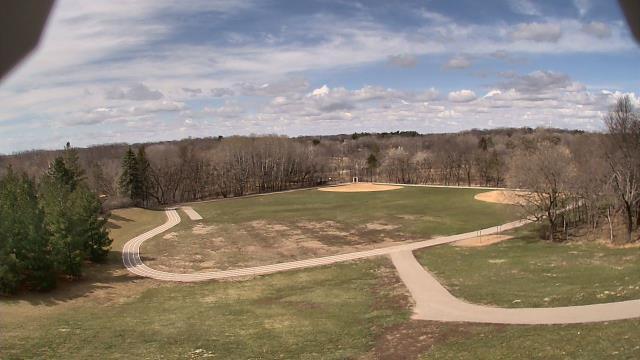
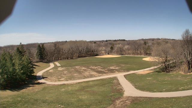
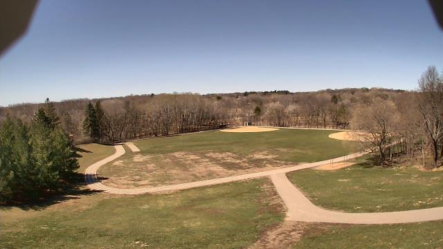
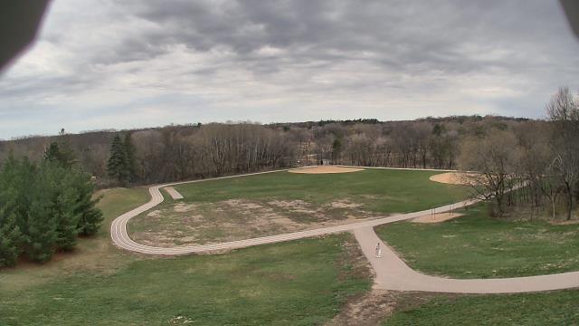
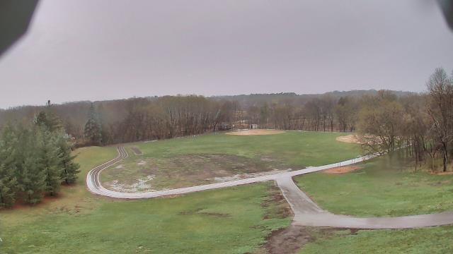
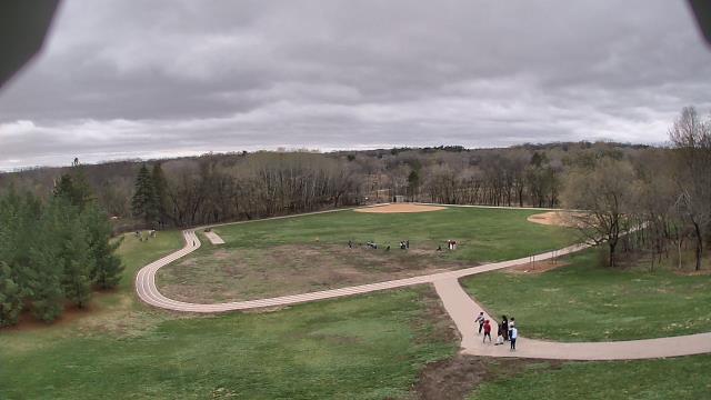
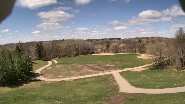
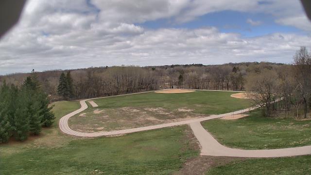
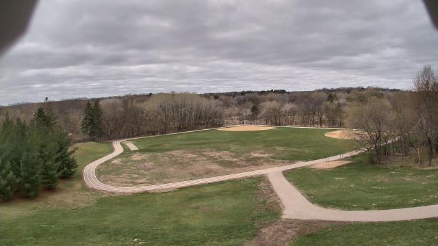
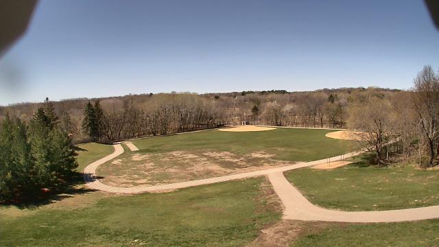
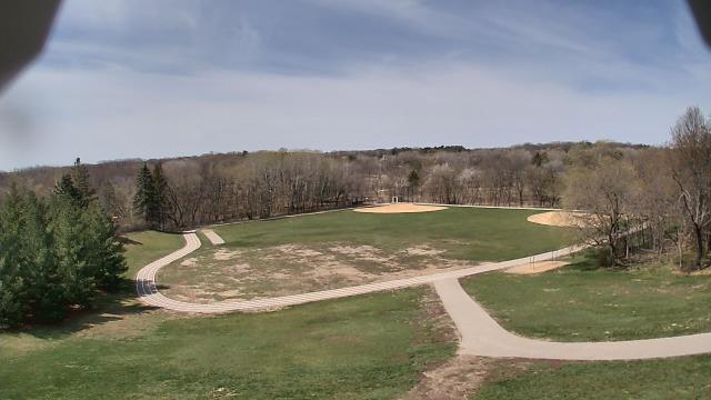
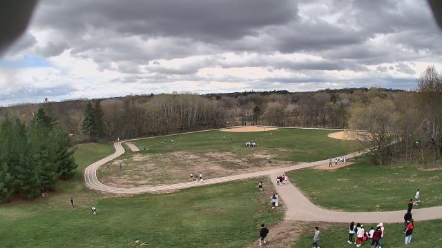
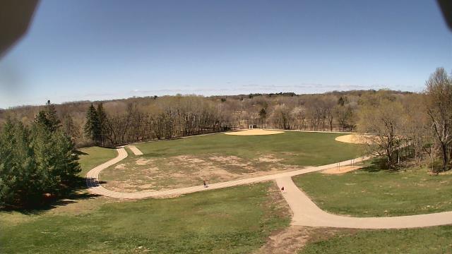
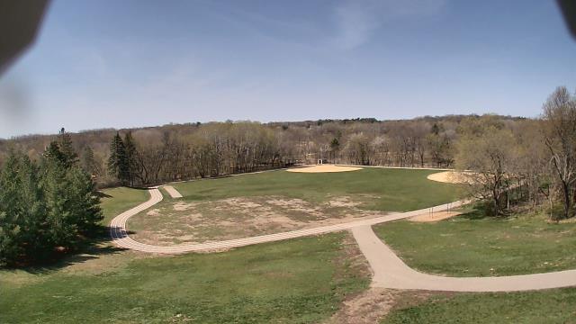
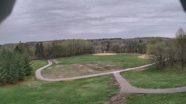
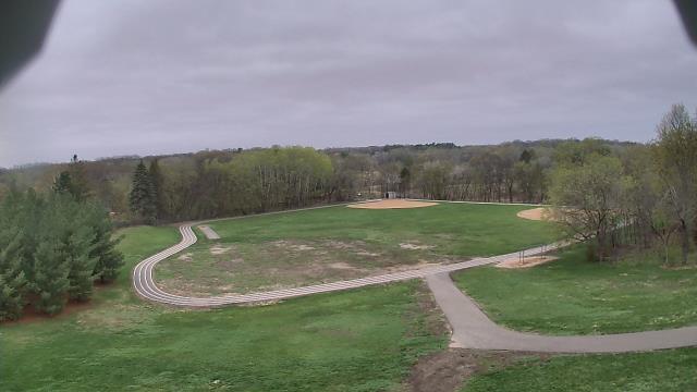
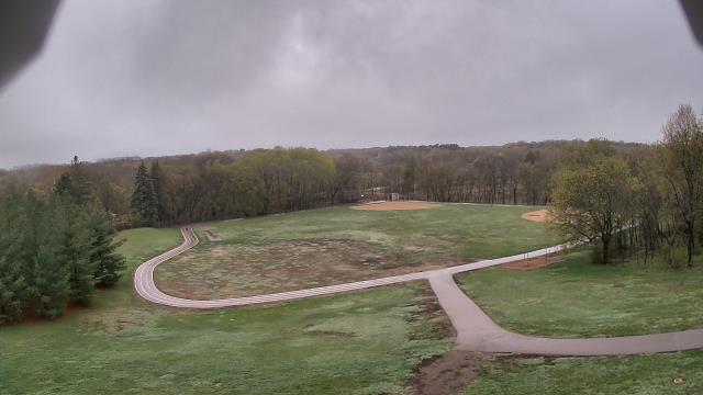
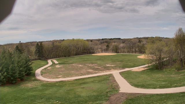
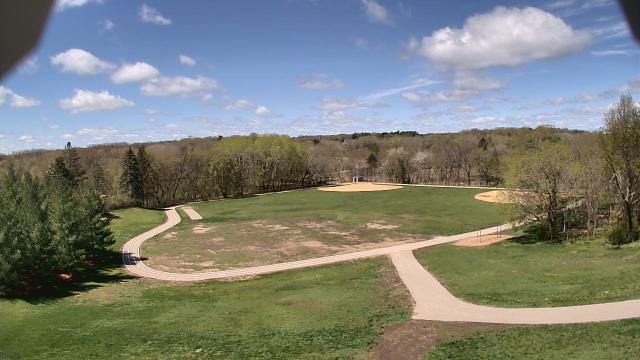
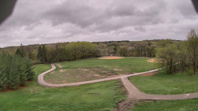
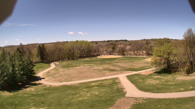
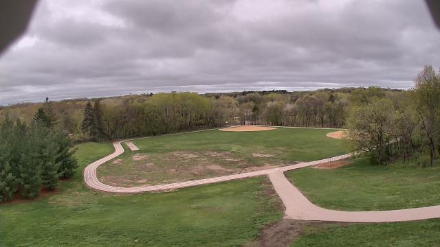
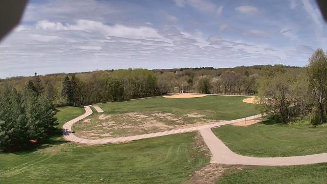
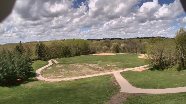
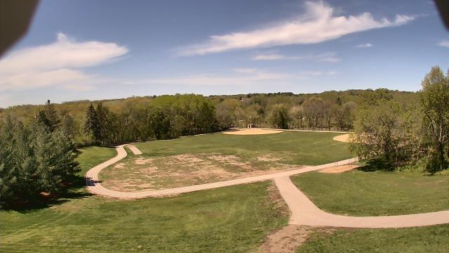
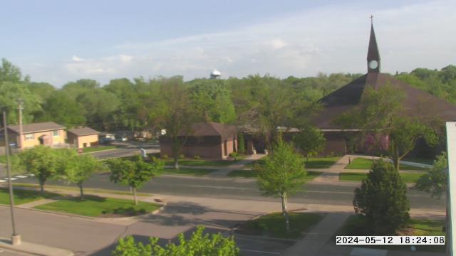
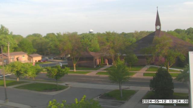
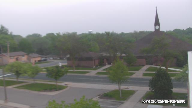
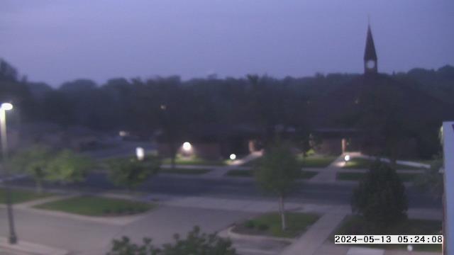
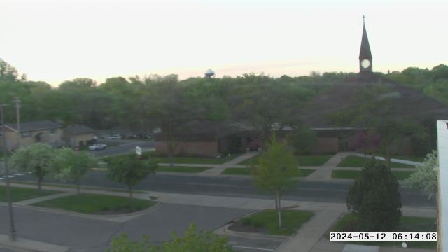
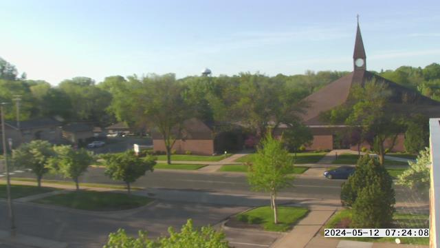
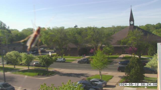
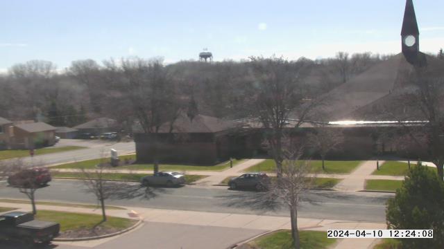
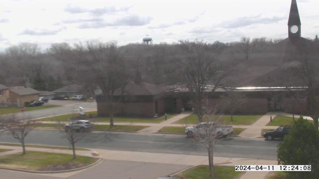
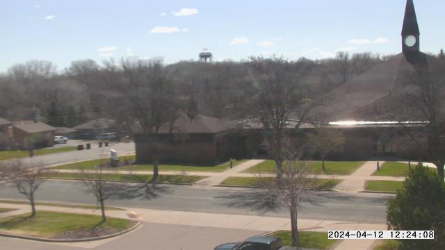
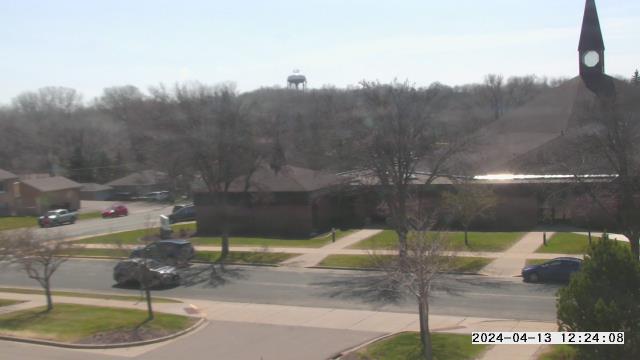
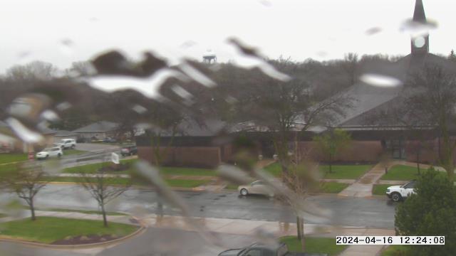
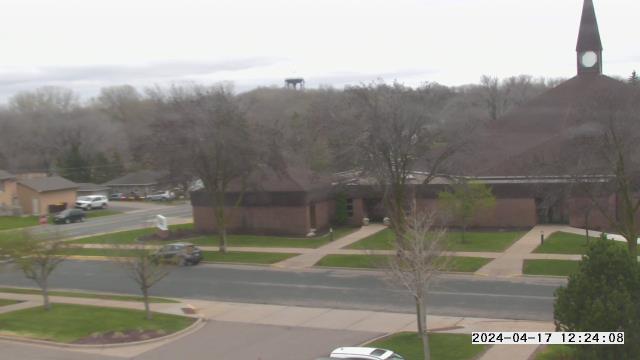
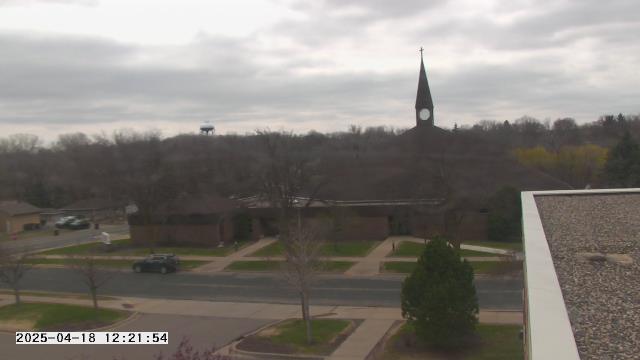
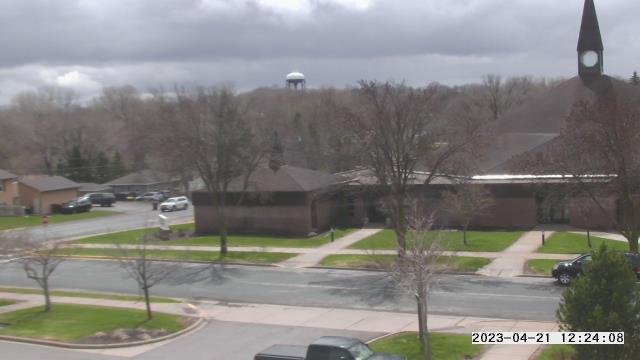
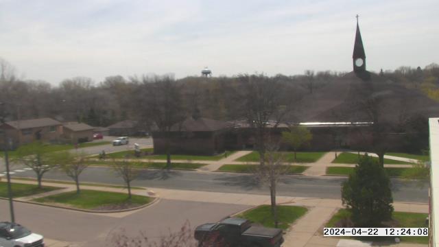
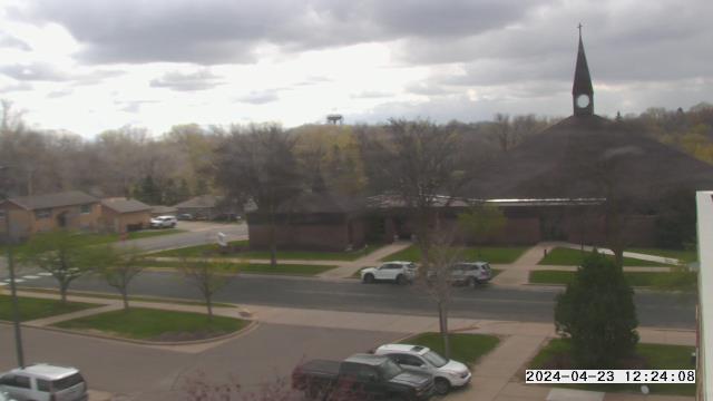
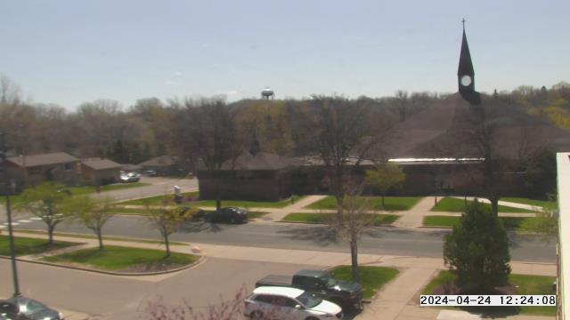
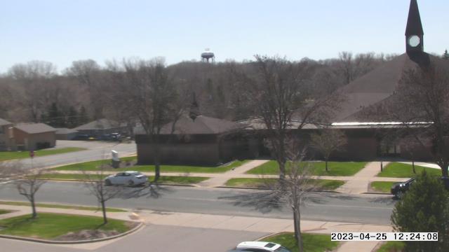
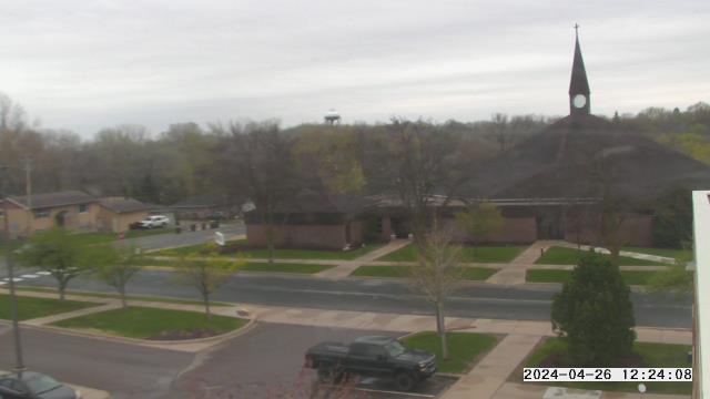
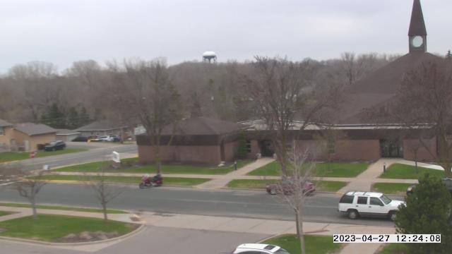
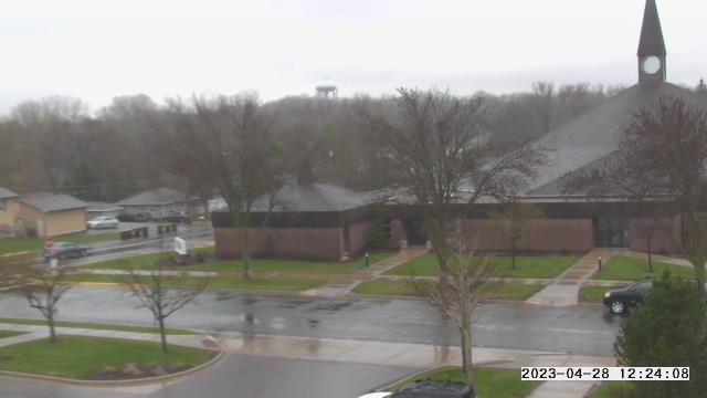
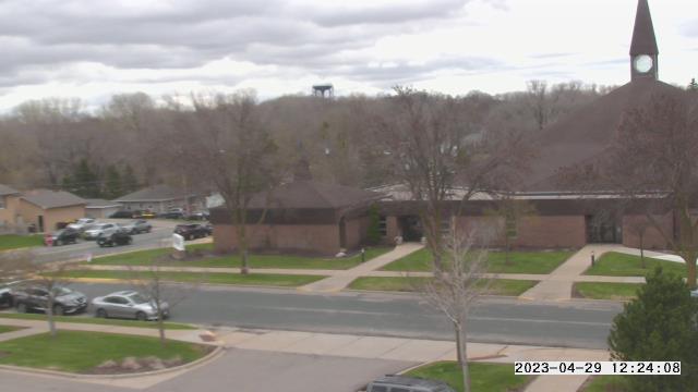
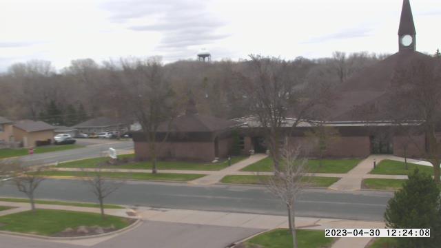
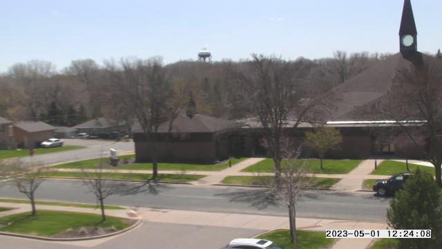
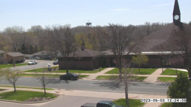
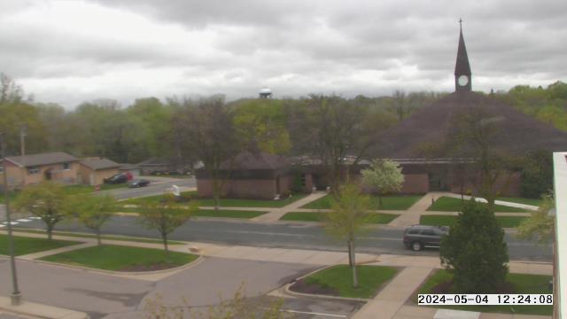
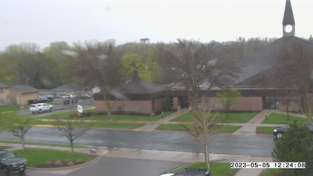
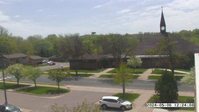
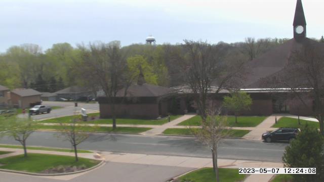
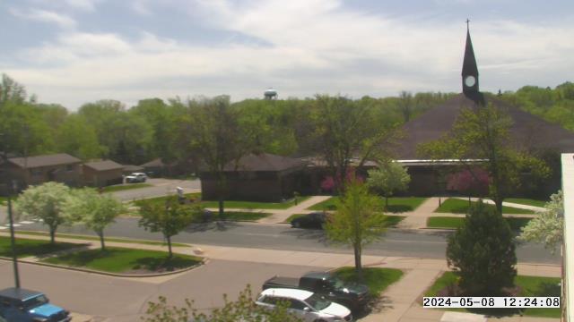
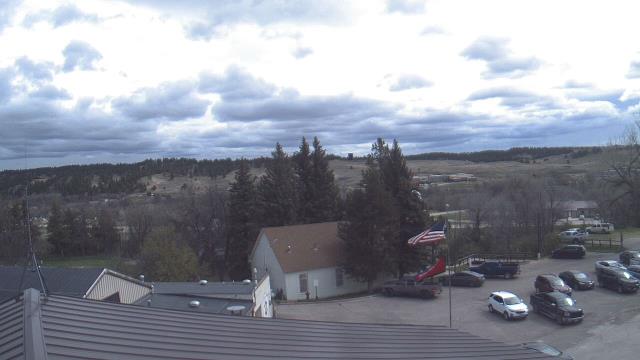
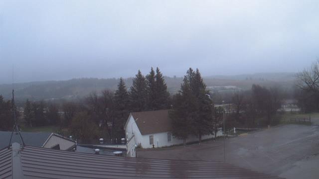
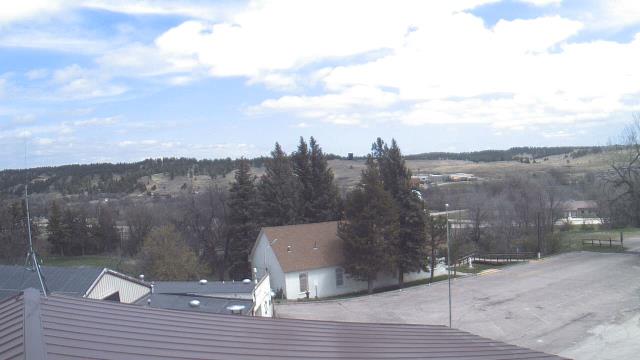
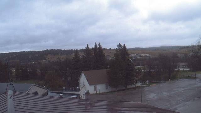
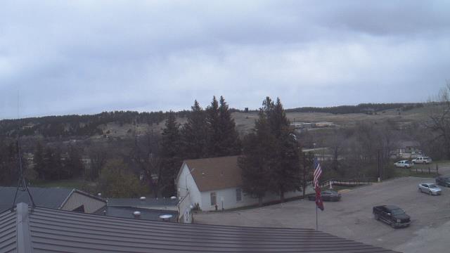
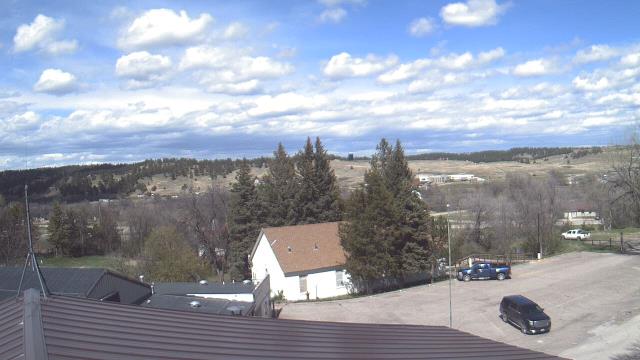
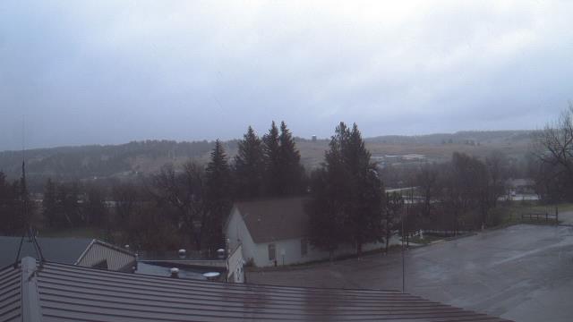
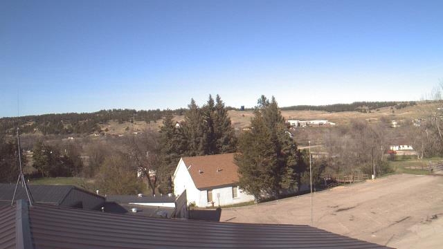
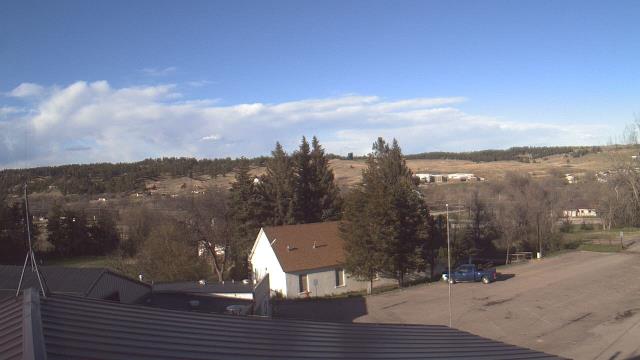
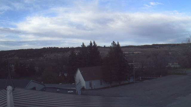
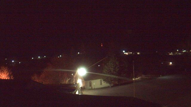
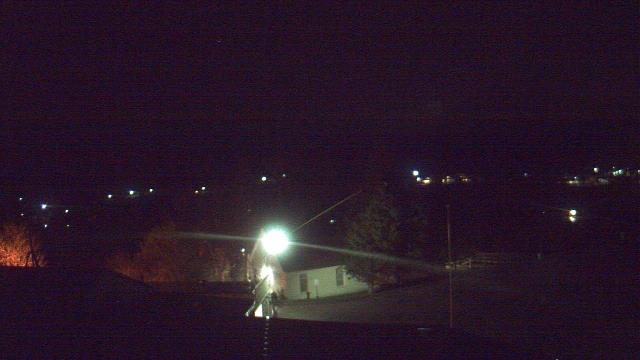
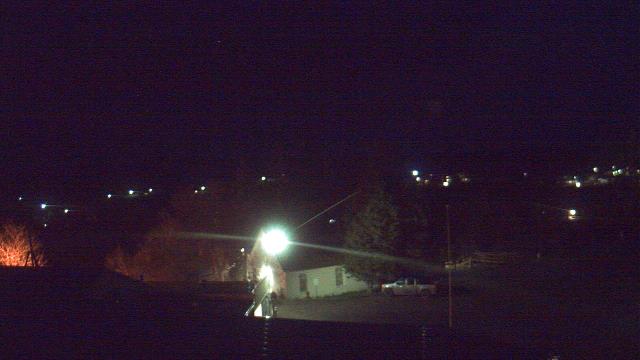
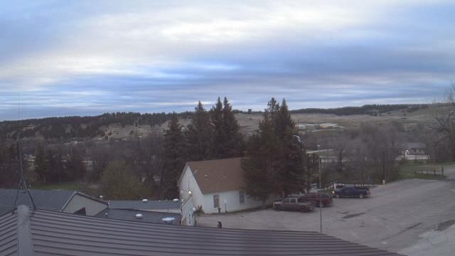
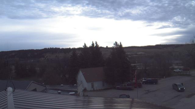
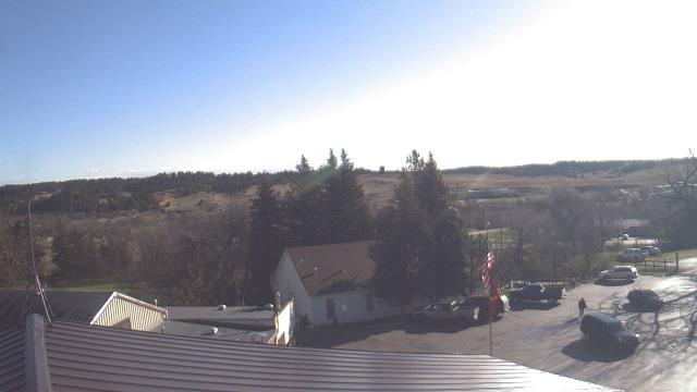
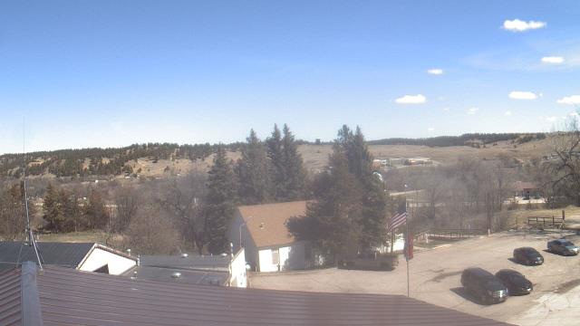
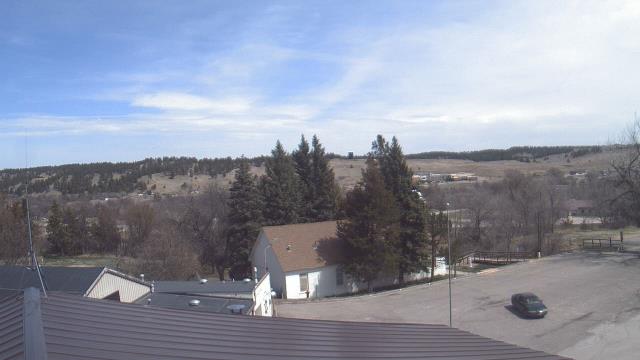
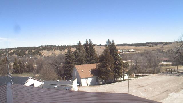
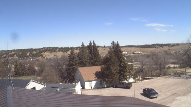
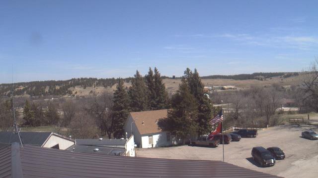
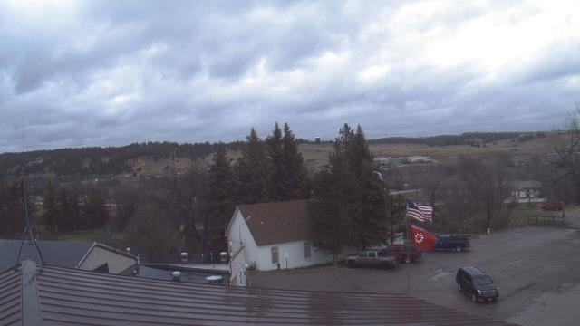
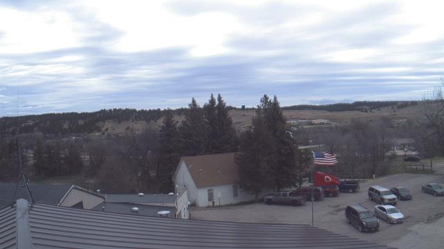
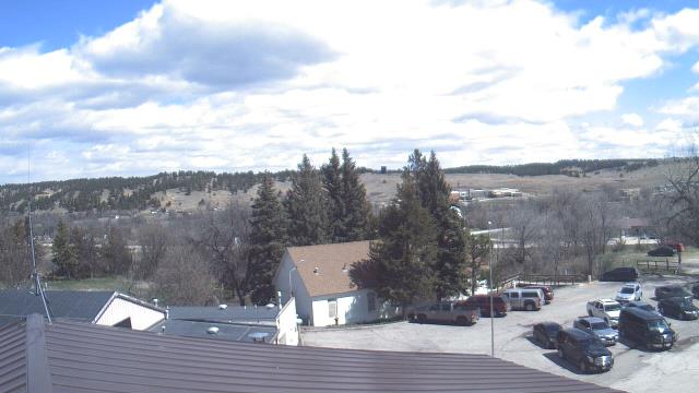
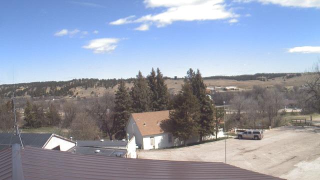
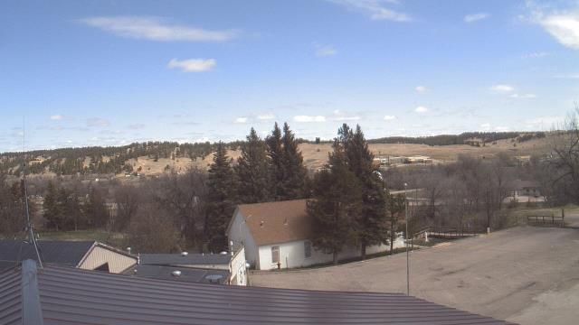
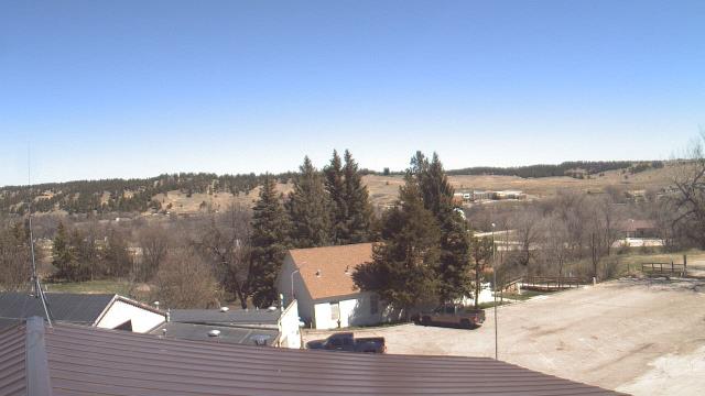
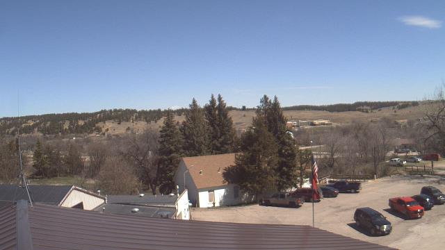
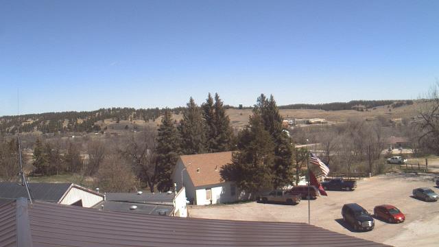
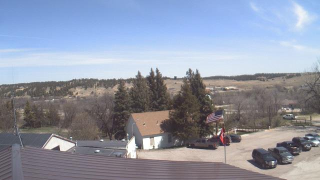
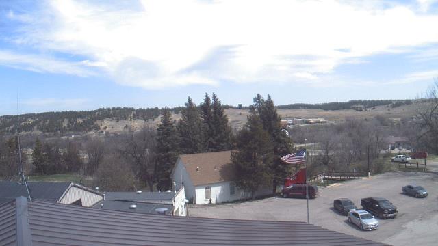
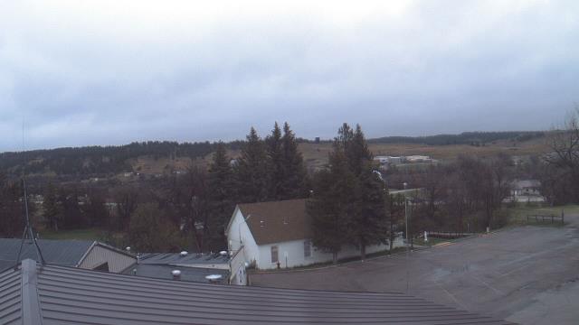
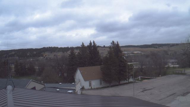
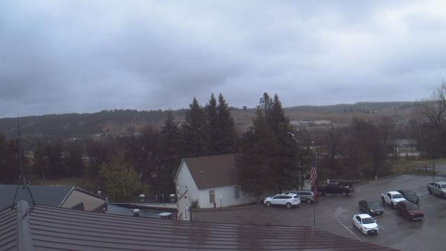
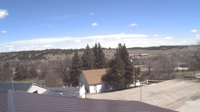
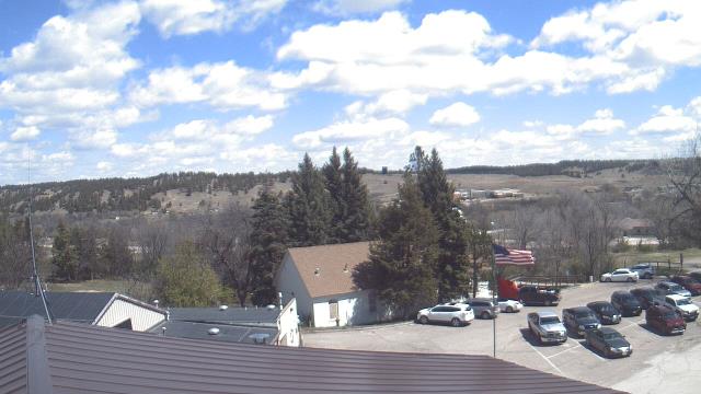
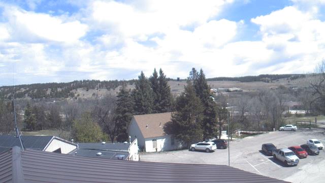
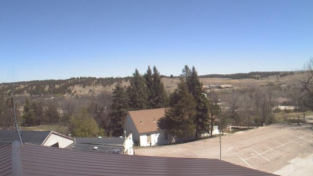
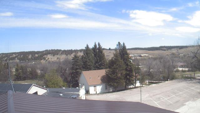
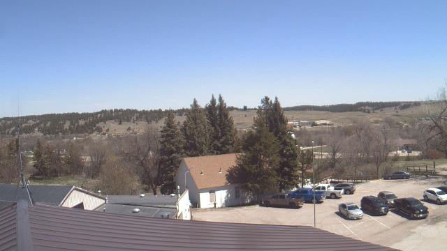
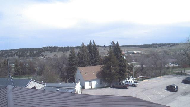
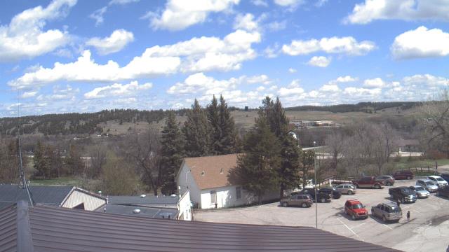
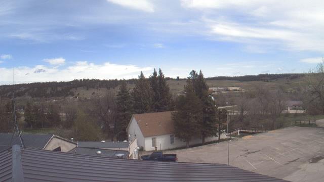
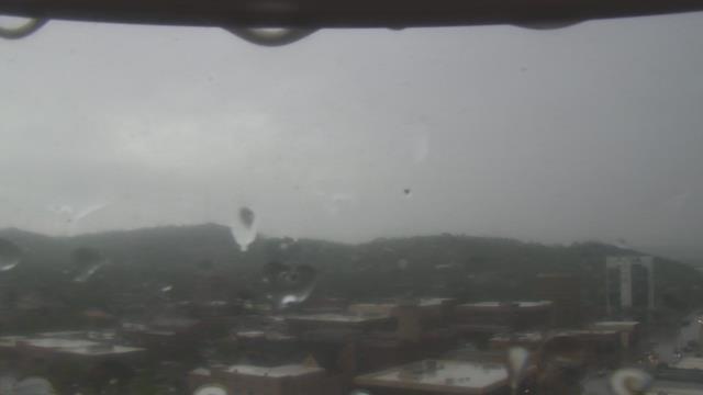
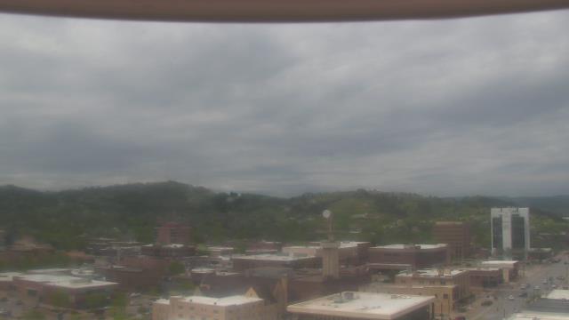
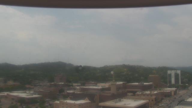
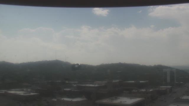
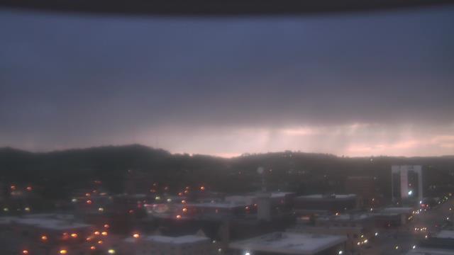
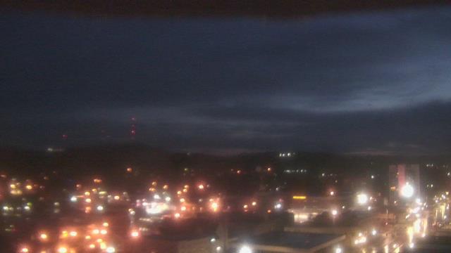
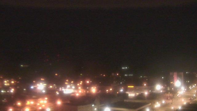
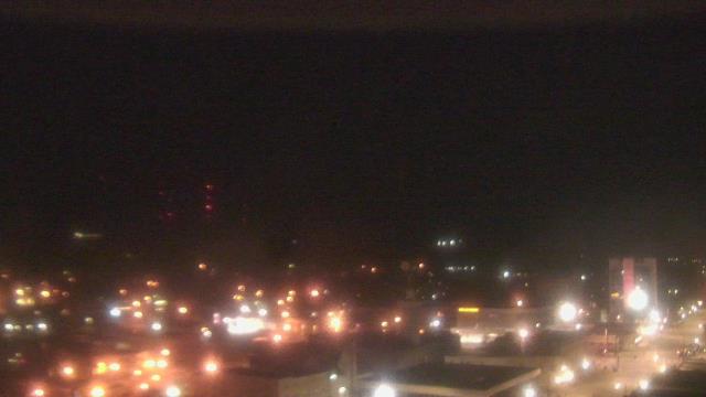
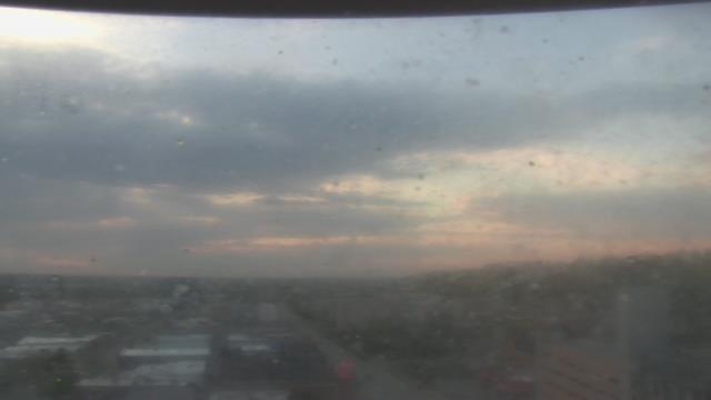
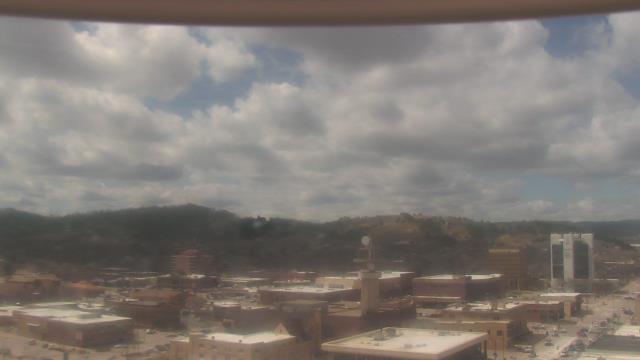
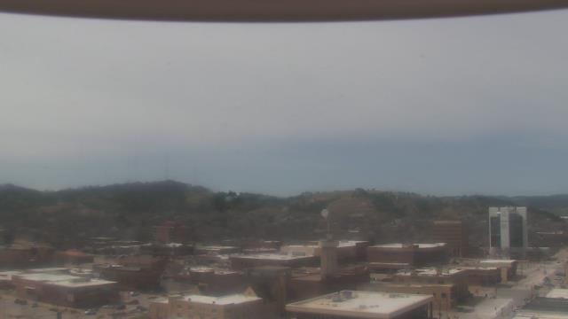
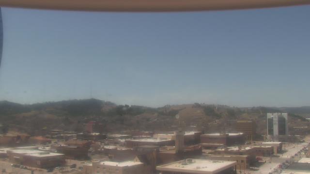
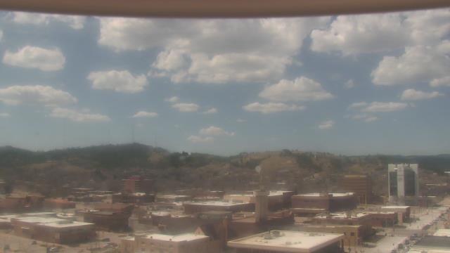
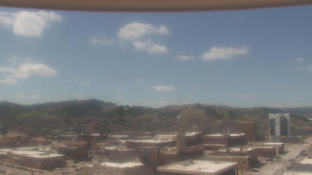
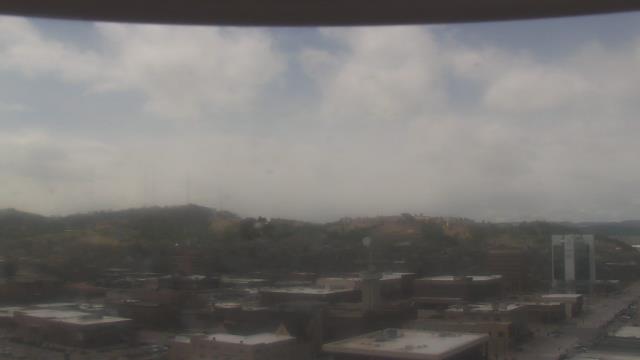
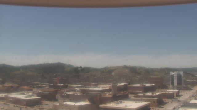
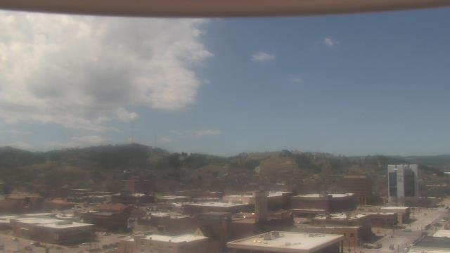
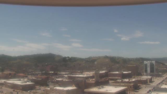
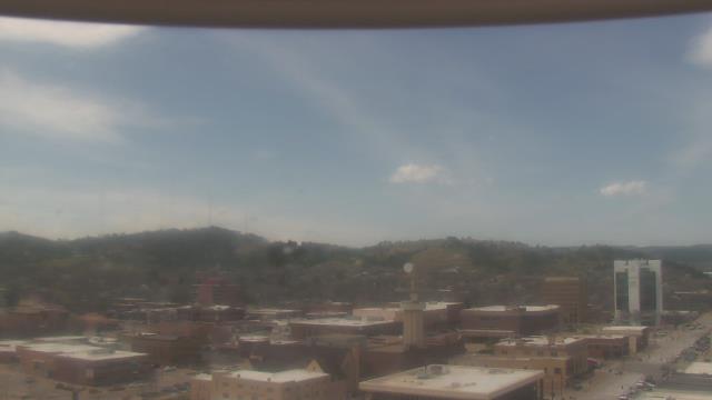
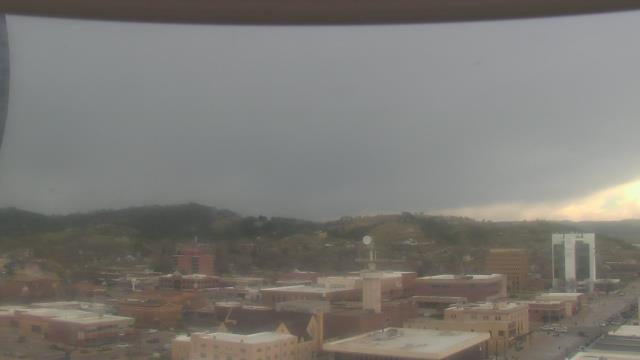
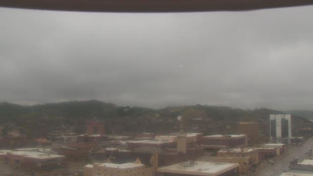
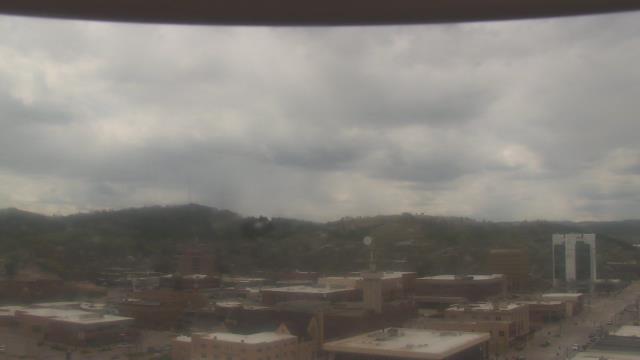
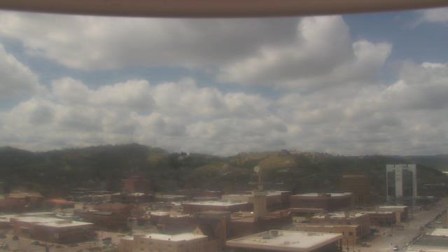
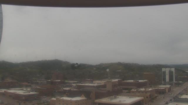
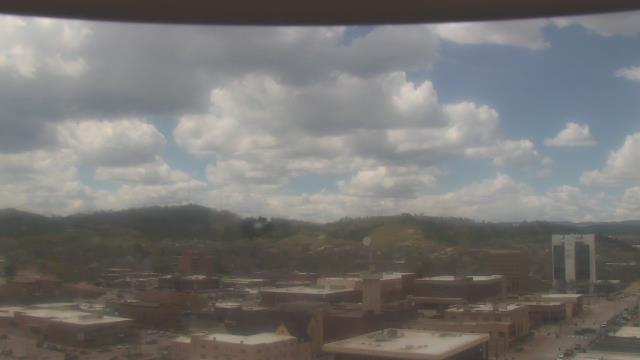
Ellendale, North Dakota, USA - 139.5 km da Summit: Ellendale High School - Una webcam a Ellendale, North Dakota - posizione della camera: Ellendale High School.
Operatore: WeatherBug

Mer. 09:58
Mer. 10:58
Mer. 11:58
Mer. 12:58
Mer. 13:58
Mer. 14:58
Mer. 15:58
Mer. 16:58
Mer. 17:58
Mer. 18:58
Mer. 19:58
Mer. 20:58
Mer. 21:58
Mer. 22:58
Mer. 23:58
Gio. 00:58
Gio. 01:58
Gio. 02:58
Gio. 03:58
Gio. 04:58
Gio. 05:58
Gio. 06:58
Gio. 07:58
Gio. 08:58
Mar. 9.4.
Mer. 10.4.
Gio. 11.4.
Ven. 12.4.
Sab. 13.4.
Dom. 14.4.
Lun. 15.4.
Mar. 16.4.
Mer. 17.4.
Gio. 18.4.
Ven. 19.4.
Sab. 20.4.
Dom. 21.4.
Lun. 22.4.
Mar. 23.4.
Mer. 24.4.
Gio. 25.4.
Ven. 26.4.
Sab. 27.4.
Dom. 28.4.
Lun. 29.4.
Mar. 30.4.
Mer. 1.5.
Gio. 2.5.
Ven. 3.5.
Sab. 4.5.
Dom. 5.5.
Lun. 6.5.
Mar. 7.5.
Mer. 8.5.
Operatore: WeatherBug
Mer. 09:58
Mer. 10:58
Mer. 11:58
Mer. 12:58
Mer. 13:58
Mer. 14:58
Mer. 15:58
Mer. 16:58

Mer. 17:58
Mer. 18:58

Mer. 19:58
Mer. 20:58
Mer. 21:58
Mer. 22:58
Mer. 23:58

Gio. 00:58

Gio. 01:58
Gio. 02:58
Gio. 03:58
Gio. 04:58
Gio. 05:58
Gio. 06:58
Gio. 07:58
Gio. 08:58
Mar. 9.4.
Mer. 10.4.
Gio. 11.4.
Ven. 12.4.
Sab. 13.4.

Dom. 14.4.
Lun. 15.4.
Mar. 16.4.
Mer. 17.4.
Gio. 18.4.
Ven. 19.4.
Sab. 20.4.
Dom. 21.4.

Lun. 22.4.
Mar. 23.4.
Mer. 24.4.
Gio. 25.4.
Ven. 26.4.
Sab. 27.4.
Dom. 28.4.
Lun. 29.4.
Mar. 30.4.
Mer. 1.5.
Gio. 2.5.
Ven. 3.5.
Sab. 4.5.

Dom. 5.5.
Lun. 6.5.
Mar. 7.5.
Mer. 8.5.
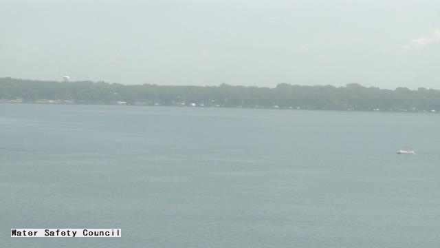
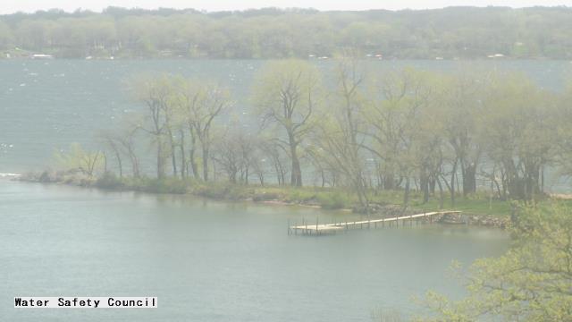
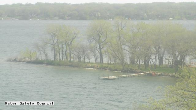
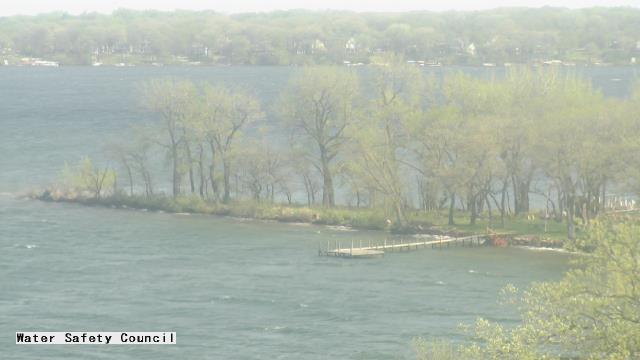
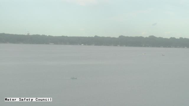
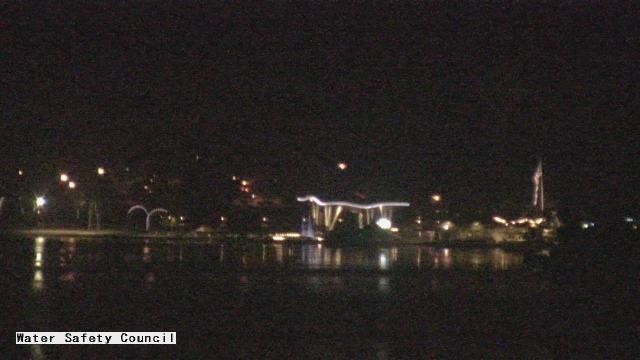
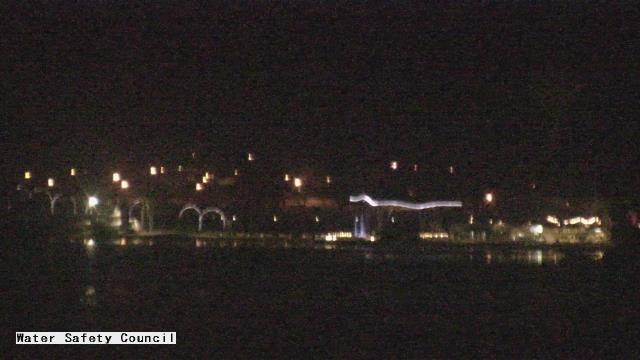
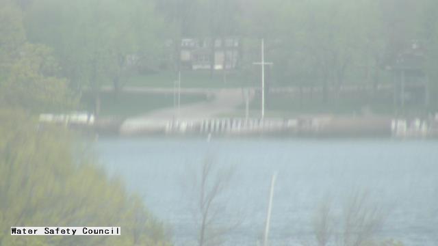
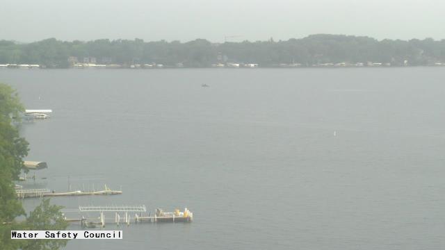
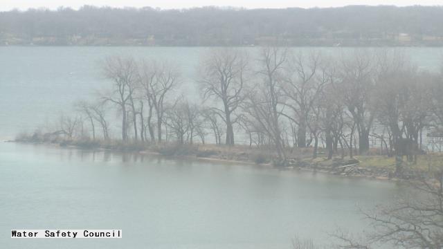
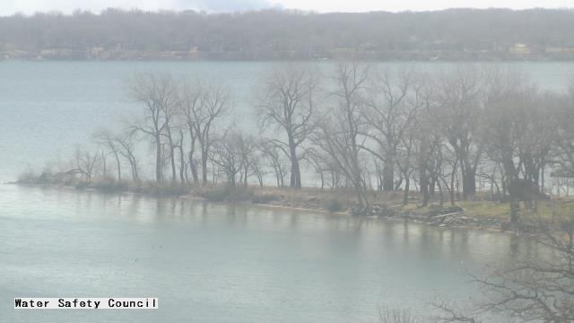
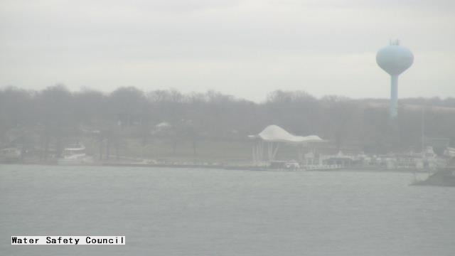
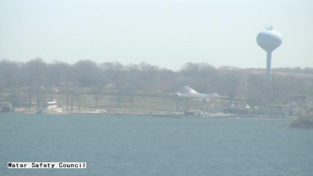
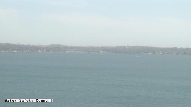
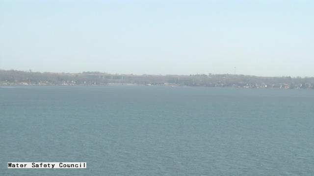
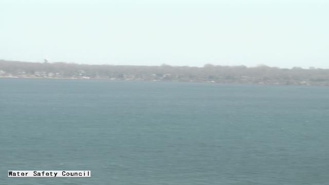
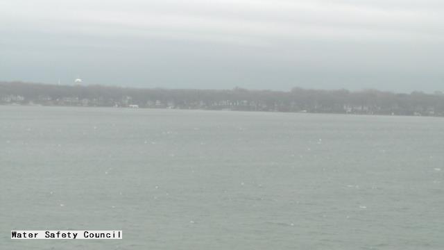
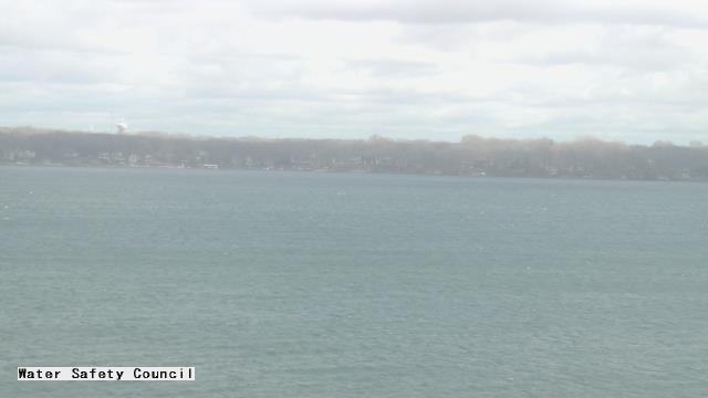
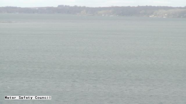
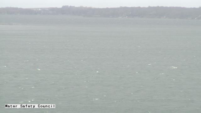
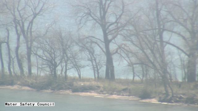
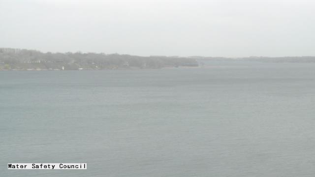
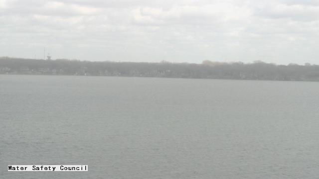
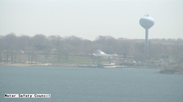
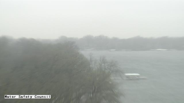
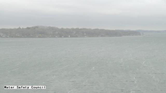
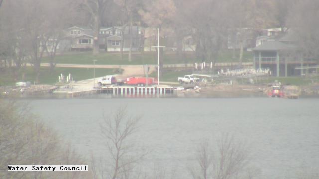
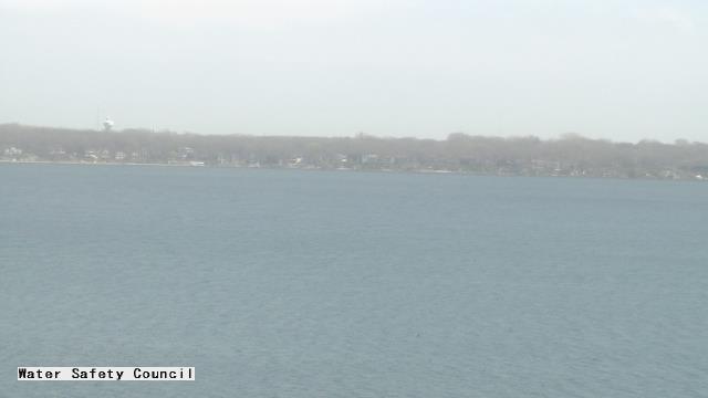
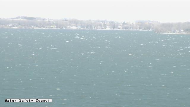
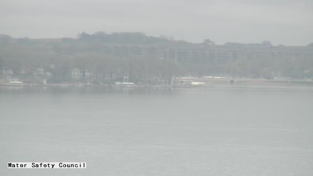
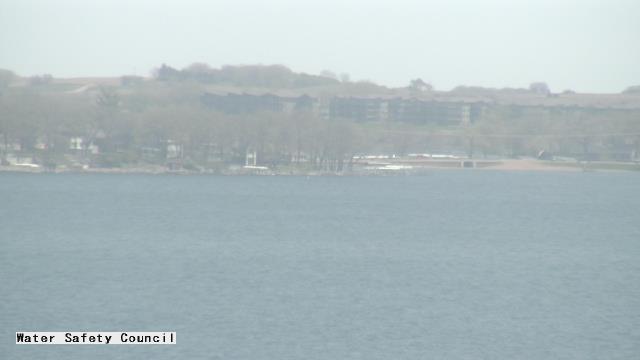
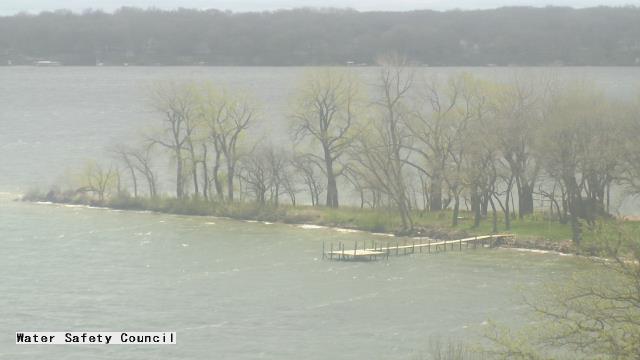
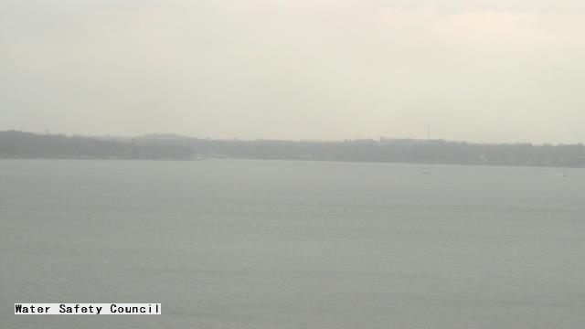
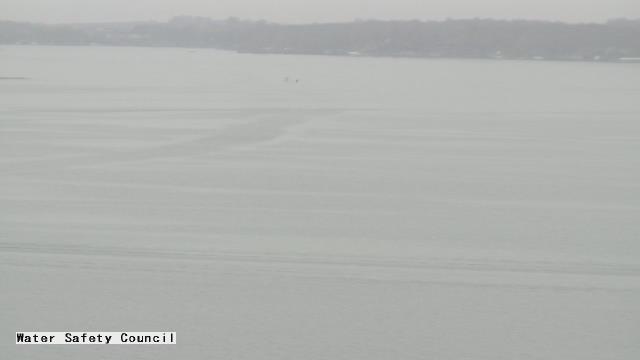
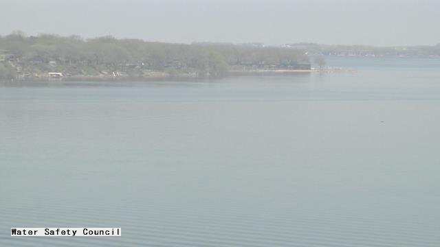
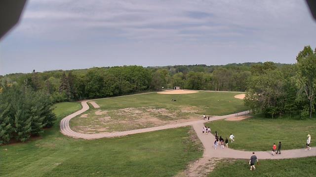
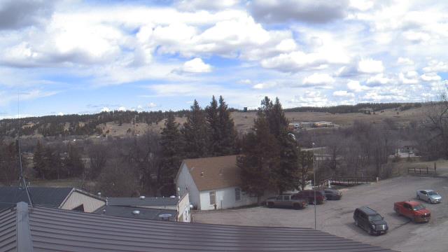
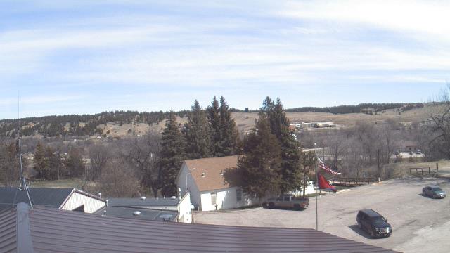
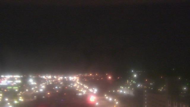
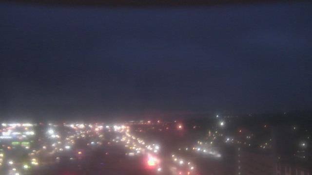
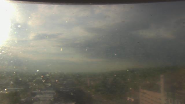
Okoboji, Iowa, USA - 260.8 km da Summit: Iowa Great Lakes Water Safety Council - Una webcam a Okoboji, Iowa - posizione della camera: Iowa Great Lakes Water Safety Council.
Operatore: WeatherBug
Mer. 09:53
Mer. 10:53
Mer. 11:53
Mer. 12:53
Mer. 13:53
Mer. 14:53
Mer. 15:53
Mer. 16:53
Mer. 17:53
Mer. 18:53
Mer. 19:53
Mer. 20:53
Mer. 21:53
Mer. 22:53
Mer. 23:53
Gio. 00:53
Gio. 01:53
Gio. 02:53
Gio. 03:53
Gio. 04:53
Gio. 05:53
Gio. 06:53
Gio. 07:53
Gio. 08:53
Mar. 9.4.
Mer. 10.4.
Gio. 11.4.
Ven. 12.4.
Sab. 13.4.
Dom. 14.4.
Lun. 15.4.
Mar. 16.4.
Mer. 17.4.
Gio. 18.4.
Ven. 19.4.
Sab. 20.4.
Dom. 21.4.
Lun. 22.4.
Mar. 23.4.
Mer. 24.4.
Gio. 25.4.
Ven. 26.4.
Sab. 27.4.
Dom. 28.4.
Lun. 29.4.
Mar. 30.4.
Mer. 1.5.
Gio. 2.5.
Ven. 3.5.
Sab. 4.5.
Dom. 5.5.
Lun. 6.5.
Mar. 7.5.
Mer. 8.5.
Operatore: WeatherBug

Mer. 09:53

Mer. 10:53

Mer. 11:53
Mer. 12:53
Mer. 13:53
Mer. 14:53
Mer. 15:53

Mer. 16:53
Mer. 17:53
Mer. 18:53
Mer. 19:53

Mer. 20:53
Mer. 21:53
Mer. 22:53
Mer. 23:53

Gio. 00:53
Gio. 01:53
Gio. 02:53
Gio. 03:53
Gio. 04:53

Gio. 05:53

Gio. 06:53
Gio. 07:53
Gio. 08:53
Mar. 9.4.
Mer. 10.4.
Gio. 11.4.
Ven. 12.4.
Sab. 13.4.
Dom. 14.4.
Lun. 15.4.
Mar. 16.4.
Mer. 17.4.
Gio. 18.4.
Ven. 19.4.

Sab. 20.4.
Dom. 21.4.
Lun. 22.4.
Mar. 23.4.
Mer. 24.4.
Gio. 25.4.
Ven. 26.4.
Sab. 27.4.
Dom. 28.4.
Lun. 29.4.
Mar. 30.4.
Mer. 1.5.
Gio. 2.5.
Ven. 3.5.
Sab. 4.5.
Dom. 5.5.

Lun. 6.5.
Mar. 7.5.
Mer. 8.5.
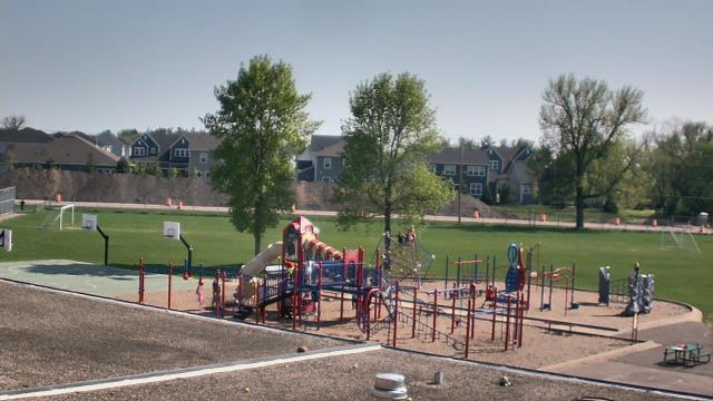
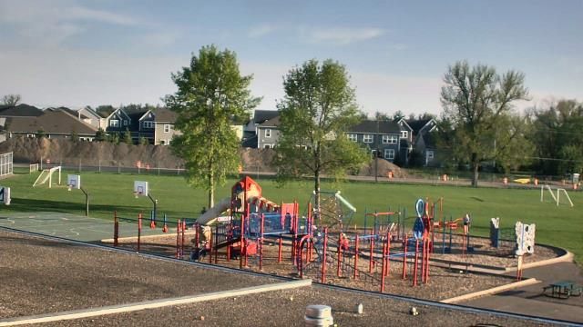
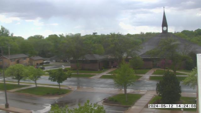
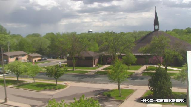
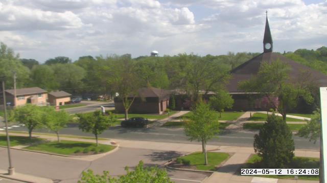
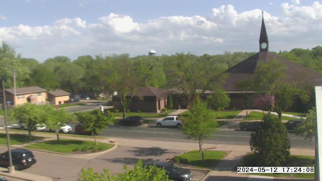
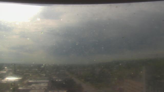
Long Lake, Minnesota, USA - 274 km da Summit: Orono Intermediate School - Una webcam a Long Lake, Minnesota - posizione della camera: Orono Intermediate School.
Operatore: WeatherBug
Mer. 09:20
Mer. 10:20
Mer. 11:20
Mer. 12:20
Mer. 13:20
Mer. 14:20
Mer. 15:20
Mer. 16:20
Mer. 17:20
Mer. 18:20
Mer. 19:20
Mer. 20:20
Mer. 21:20
Mer. 22:20
Mer. 23:20
Gio. 00:20
Gio. 01:20
Gio. 02:20
Gio. 03:20
Gio. 04:20
Gio. 05:20
Gio. 06:20
Gio. 07:20
Gio. 08:20
Mar. 9.4.
Mer. 10.4.
Gio. 11.4.
Ven. 12.4.
Sab. 13.4.
Dom. 14.4.
Lun. 15.4.
Mar. 16.4.
Mer. 17.4.
Gio. 18.4.
Ven. 19.4.
Sab. 20.4.
Dom. 21.4.
Lun. 22.4.
Mar. 23.4.
Mer. 24.4.
Gio. 25.4.
Ven. 26.4.
Sab. 27.4.
Dom. 28.4.
Lun. 29.4.
Mar. 30.4.
Mer. 1.5.
Gio. 2.5.
Ven. 3.5.
Sab. 4.5.
Dom. 5.5.
Lun. 6.5.
Mar. 7.5.
Mer. 8.5.
Operatore: WeatherBug
Mer. 09:20
Mer. 10:20
Mer. 11:20
Mer. 12:20

Mer. 13:20
Mer. 14:20
Mer. 15:20
Mer. 16:20
Mer. 17:20
Mer. 18:20
Mer. 19:20
Mer. 20:20
Mer. 21:20

Mer. 22:20

Mer. 23:20

Gio. 00:20

Gio. 01:20

Gio. 02:20

Gio. 03:20

Gio. 04:20
Gio. 05:20
Gio. 06:20
Gio. 07:20
Gio. 08:20
Mar. 9.4.
Mer. 10.4.
Gio. 11.4.
Ven. 12.4.
Sab. 13.4.

Dom. 14.4.
Lun. 15.4.
Mar. 16.4.
Mer. 17.4.
Gio. 18.4.
Ven. 19.4.
Sab. 20.4.
Dom. 21.4.
Lun. 22.4.
Mar. 23.4.
Mer. 24.4.
Gio. 25.4.
Ven. 26.4.
Sab. 27.4.
Dom. 28.4.
Lun. 29.4.
Mar. 30.4.
Mer. 1.5.
Gio. 2.5.
Ven. 3.5.
Sab. 4.5.
Dom. 5.5.
Lun. 6.5.
Mar. 7.5.
Mer. 8.5.

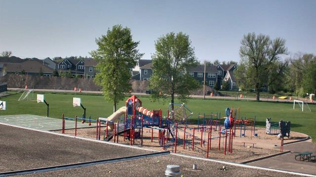
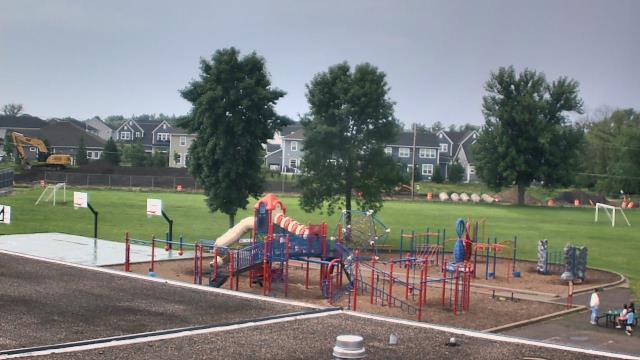
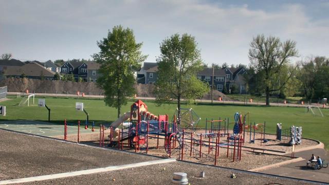
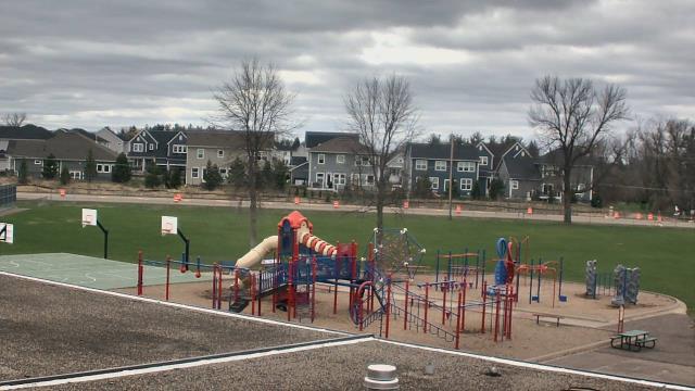
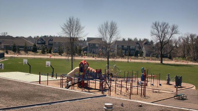
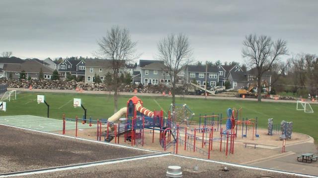
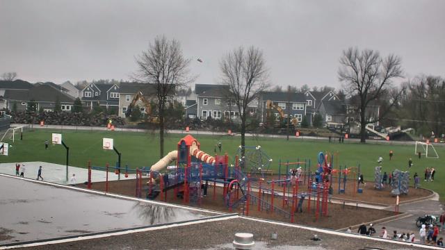
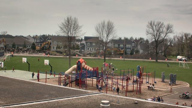
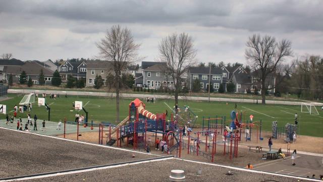
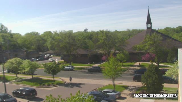
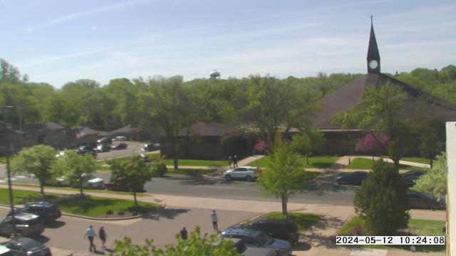
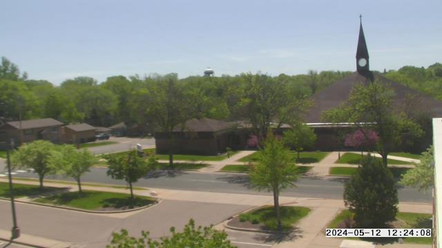
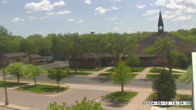
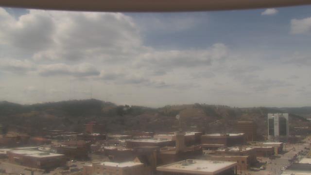
Minnetonka, Minnesota, USA - 282 km da Summit: Scenic Heights Elementary School - Una webcam a Minnetonka, Minnesota - posizione della camera: Scenic Heights Elementary School.
Operatore: WeatherBug
Mer. 09:25
Mer. 10:25
Mer. 11:25
Mer. 12:25
Mer. 13:25
Mer. 14:25
Mer. 15:25
Mer. 16:25
Mer. 17:25
Mer. 18:25
Mer. 19:25
Mer. 20:25
Mer. 21:25
Mer. 22:25
Mer. 23:25
Gio. 00:25
Gio. 01:25
Gio. 02:25
Gio. 03:25
Gio. 04:25
Gio. 05:25
Gio. 06:25
Gio. 07:25
Gio. 08:25
Mar. 9.4.
Mer. 10.4.
Gio. 11.4.
Ven. 12.4.
Sab. 13.4.
Dom. 14.4.
Lun. 15.4.
Mar. 16.4.
Mer. 17.4.
Gio. 18.4.
Ven. 19.4.
Sab. 20.4.
Dom. 21.4.
Lun. 22.4.
Mar. 23.4.
Mer. 24.4.
Gio. 25.4.
Ven. 26.4.
Sab. 27.4.
Dom. 28.4.
Lun. 29.4.
Mar. 30.4.
Mer. 1.5.
Gio. 2.5.
Ven. 3.5.
Sab. 4.5.
Dom. 5.5.
Lun. 6.5.
Mar. 7.5.
Mer. 8.5.
Operatore: WeatherBug
Mer. 09:25
Mer. 10:25
Mer. 11:25
Mer. 12:25
Mer. 13:25
Mer. 14:25
Mer. 15:25
Mer. 16:25
Mer. 17:25
Mer. 18:25
Mer. 19:25
Mer. 20:25
Mer. 21:25

Mer. 22:25

Mer. 23:25

Gio. 00:25

Gio. 01:25

Gio. 02:25

Gio. 03:25

Gio. 04:25
Gio. 05:25
Gio. 06:25
Gio. 07:25
Gio. 08:25
Mar. 9.4.
Mer. 10.4.
Gio. 11.4.

Ven. 12.4.
Sab. 13.4.
Dom. 14.4.
Lun. 15.4.
Mar. 16.4.
Mer. 17.4.
Gio. 18.4.
Ven. 19.4.
Sab. 20.4.
Dom. 21.4.
Lun. 22.4.
Mar. 23.4.
Mer. 24.4.
Gio. 25.4.
Ven. 26.4.

Sab. 27.4.
Dom. 28.4.
Lun. 29.4.
Mar. 30.4.
Mer. 1.5.
Gio. 2.5.
Ven. 3.5.
Sab. 4.5.

Dom. 5.5.
Lun. 6.5.
Mar. 7.5.
Mer. 8.5.
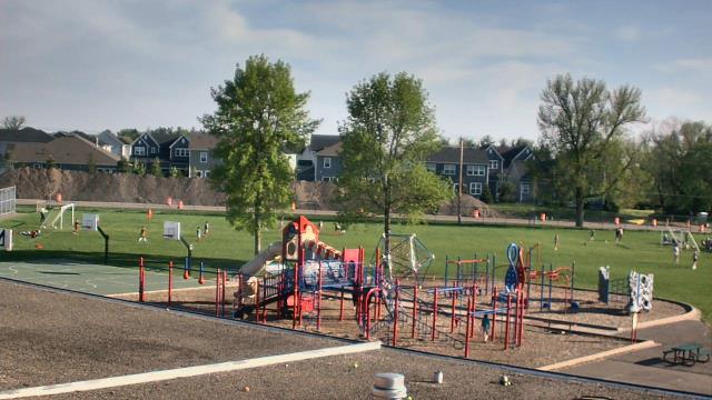
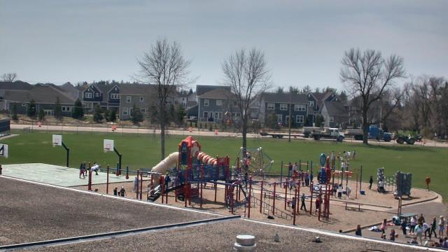
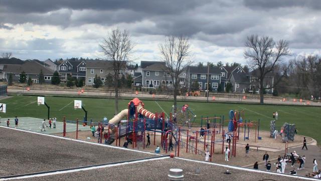
Prior Lake, Minnesota, USA - 291.6 km da Summit: St. Michael Catholic School - Una webcam a Prior Lake, Minnesota - posizione della camera: St. Michael Catholic School.
Operatore: WeatherBug
Mer. 09:25
Mer. 10:25
Mer. 11:25
Mer. 12:25
Mer. 13:25
Mer. 14:25
Mer. 15:25
Mer. 16:25
Mer. 17:25
Mer. 18:25
Mer. 19:25
Mer. 20:25
Mer. 21:25
Mer. 22:25
Mer. 23:25
Gio. 00:25
Gio. 01:25
Gio. 02:25
Gio. 03:25
Gio. 04:25
Gio. 05:25
Gio. 06:25
Gio. 07:25
Gio. 08:25
Mar. 9.4.
Mer. 10.4.
Gio. 11.4.
Ven. 12.4.
Sab. 13.4.
Dom. 14.4.
Lun. 15.4.
Mar. 16.4.
Mer. 17.4.
Gio. 18.4.
Ven. 19.4.
Sab. 20.4.
Dom. 21.4.
Lun. 22.4.
Mar. 23.4.
Mer. 24.4.
Gio. 25.4.
Ven. 26.4.
Sab. 27.4.
Dom. 28.4.
Lun. 29.4.
Mar. 30.4.
Mer. 1.5.
Gio. 2.5.
Ven. 3.5.
Sab. 4.5.
Dom. 5.5.
Lun. 6.5.
Mar. 7.5.
Mer. 8.5.
Operatore: WeatherBug
Mer. 09:25
Mer. 10:25

Mer. 11:25
Mer. 12:25
Mer. 13:25
Mer. 14:25
Mer. 15:25
Mer. 16:25
Mer. 17:25
Mer. 18:25
Mer. 19:25
Mer. 20:25
Mer. 21:25
Mer. 22:25
Mer. 23:25
Gio. 00:25

Gio. 01:25

Gio. 02:25
Gio. 03:25

Gio. 04:25
Gio. 05:25
Gio. 06:25
Gio. 07:25
Gio. 08:25

Mar. 9.4.
Mer. 10.4.
Gio. 11.4.
Ven. 12.4.
Sab. 13.4.

Dom. 14.4.

Lun. 15.4.
Mar. 16.4.
Mer. 17.4.
Gio. 18.4.

Ven. 19.4.

Sab. 20.4.
Dom. 21.4.
Lun. 22.4.
Mar. 23.4.
Mer. 24.4.
Gio. 25.4.
Ven. 26.4.
Sab. 27.4.
Dom. 28.4.
Lun. 29.4.
Mar. 30.4.
Mer. 1.5.

Gio. 2.5.
Ven. 3.5.
Sab. 4.5.
Dom. 5.5.
Lun. 6.5.
Mar. 7.5.
Mer. 8.5.
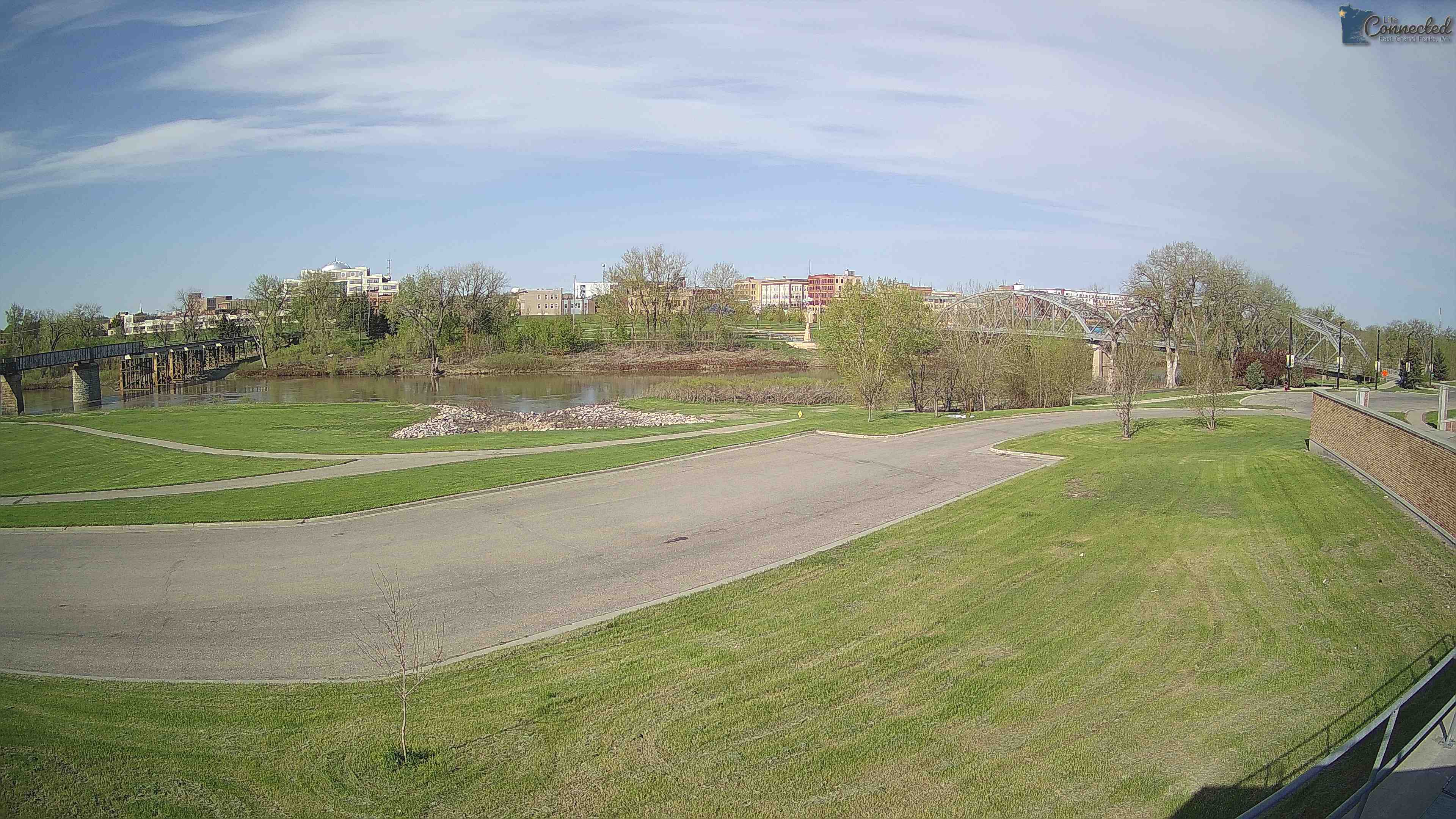
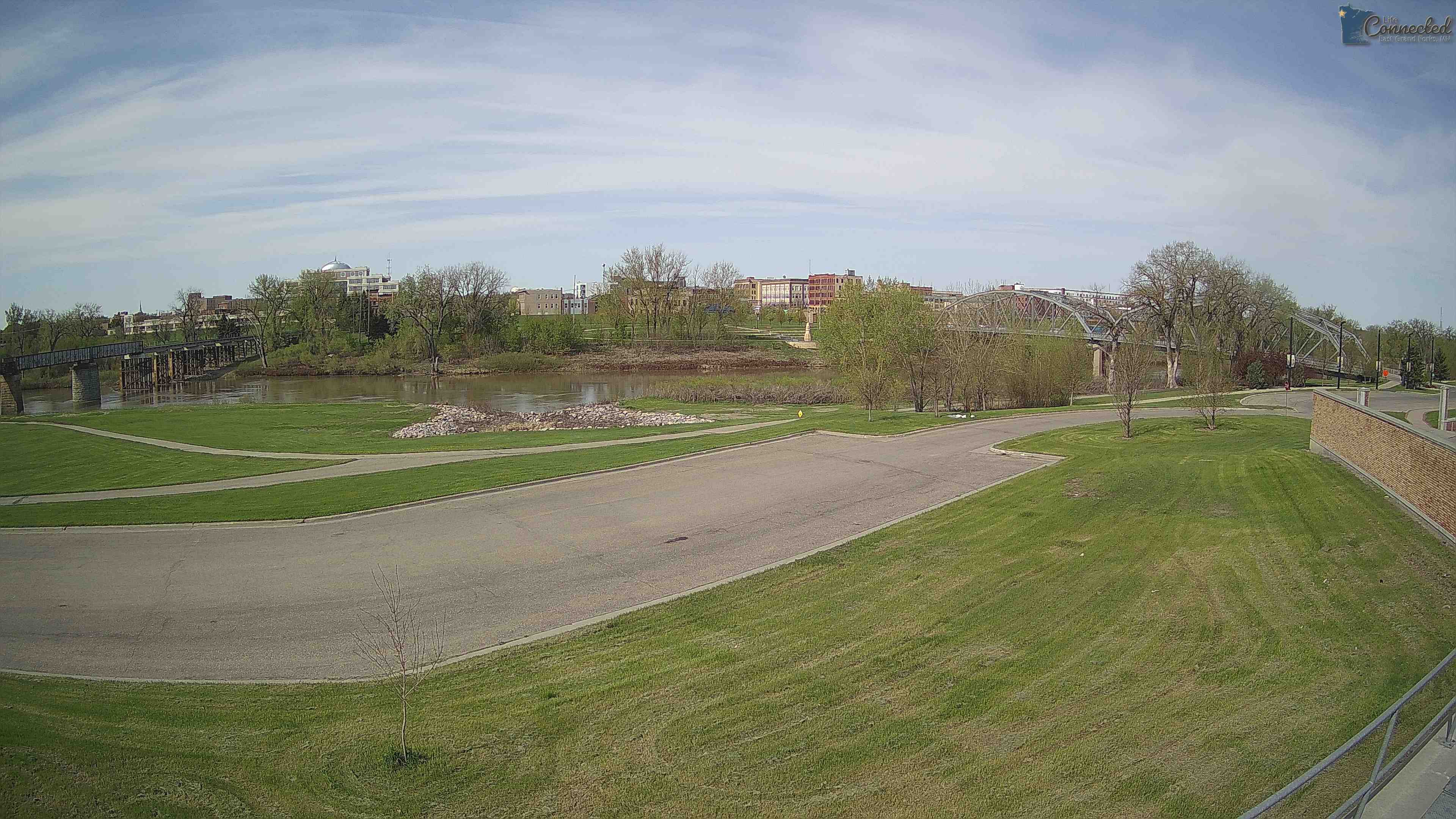
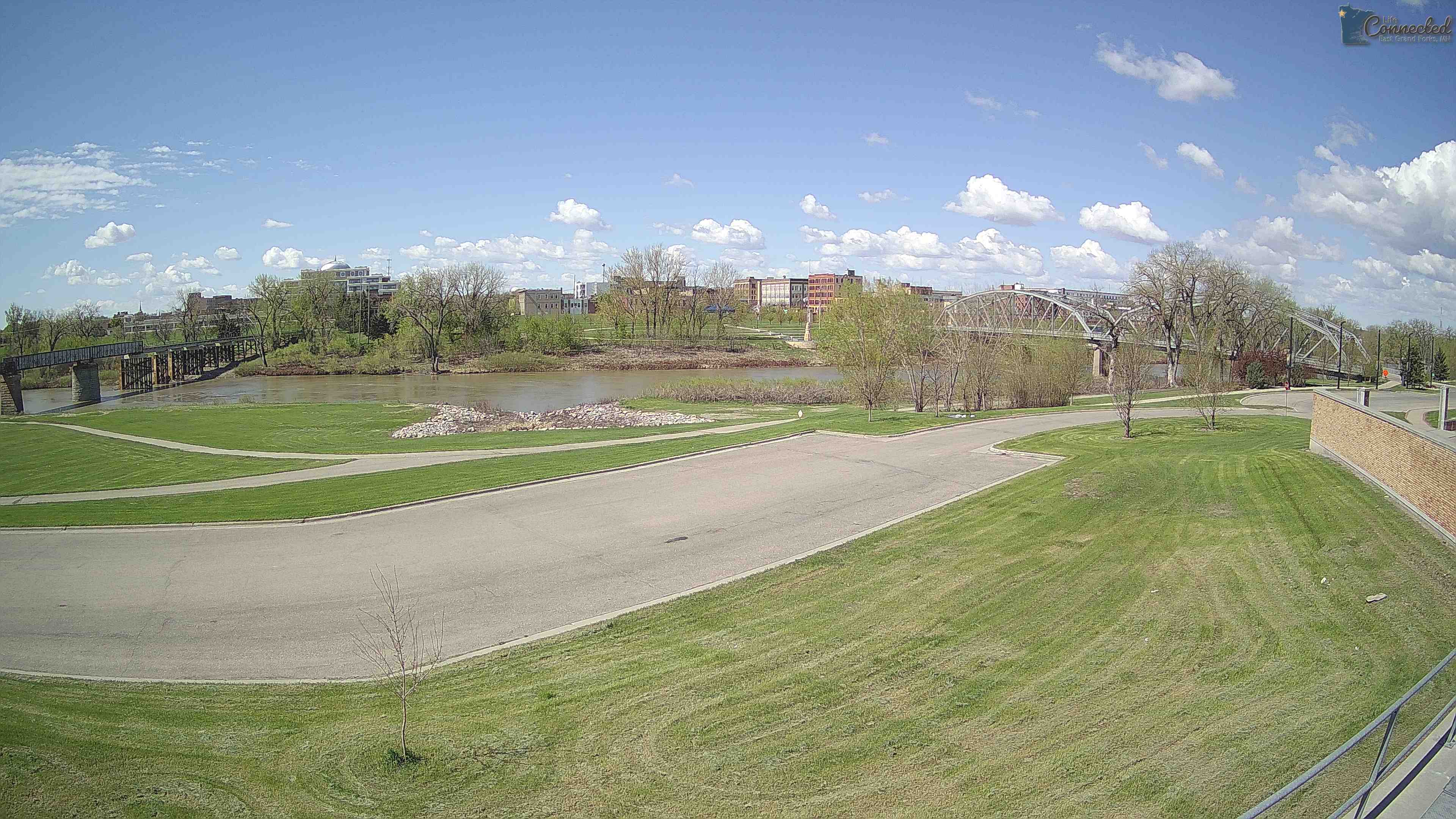
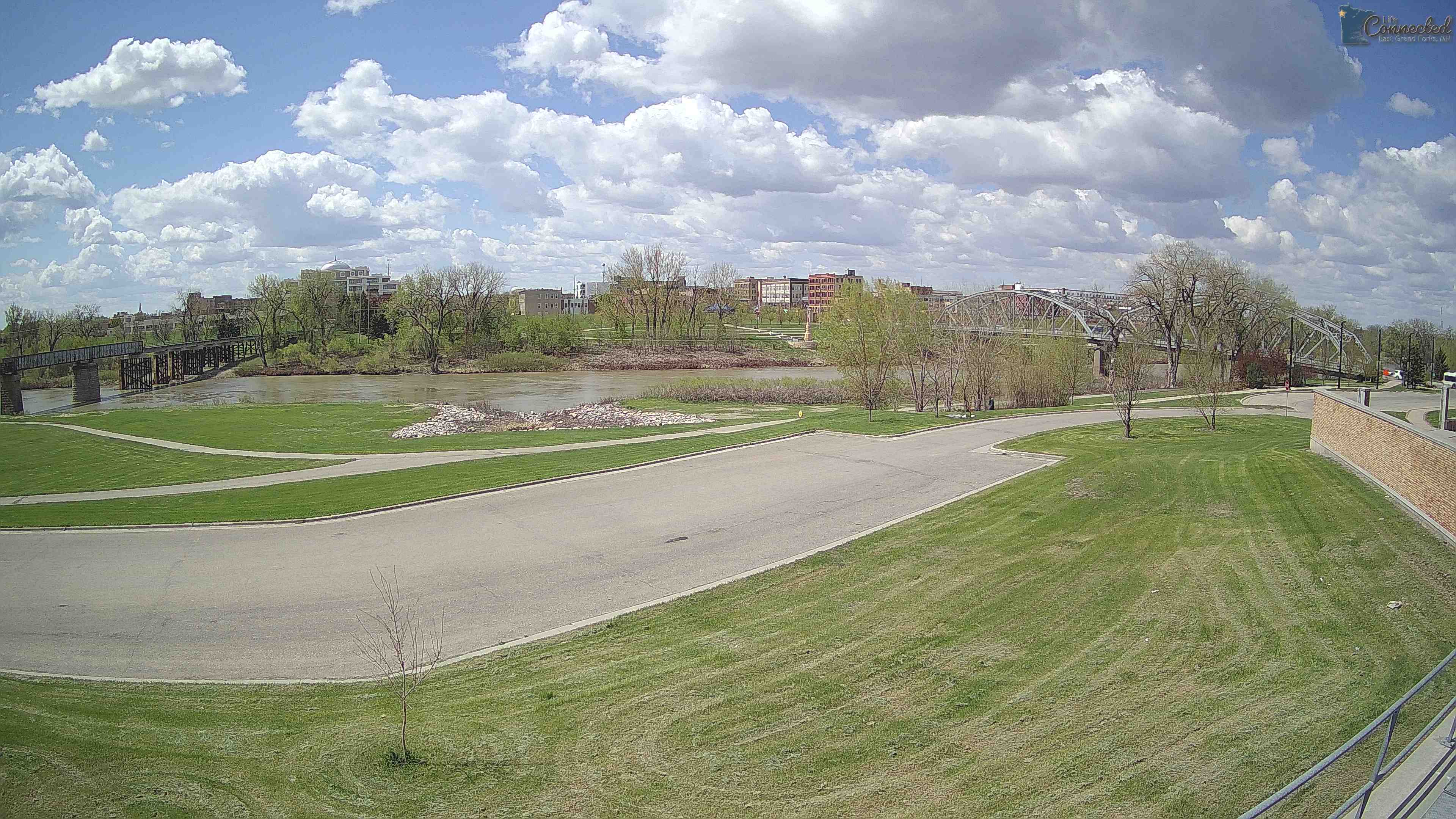
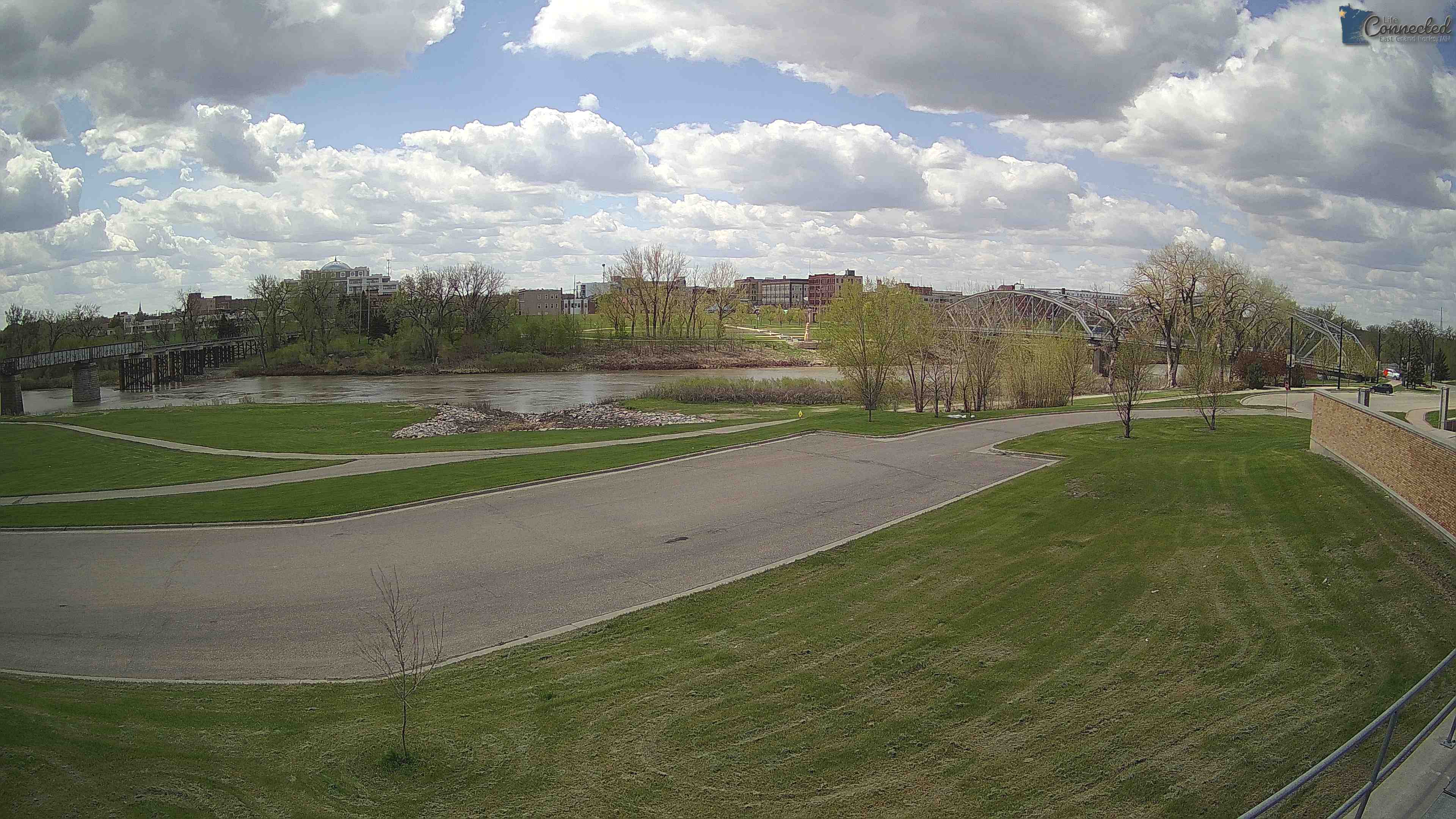
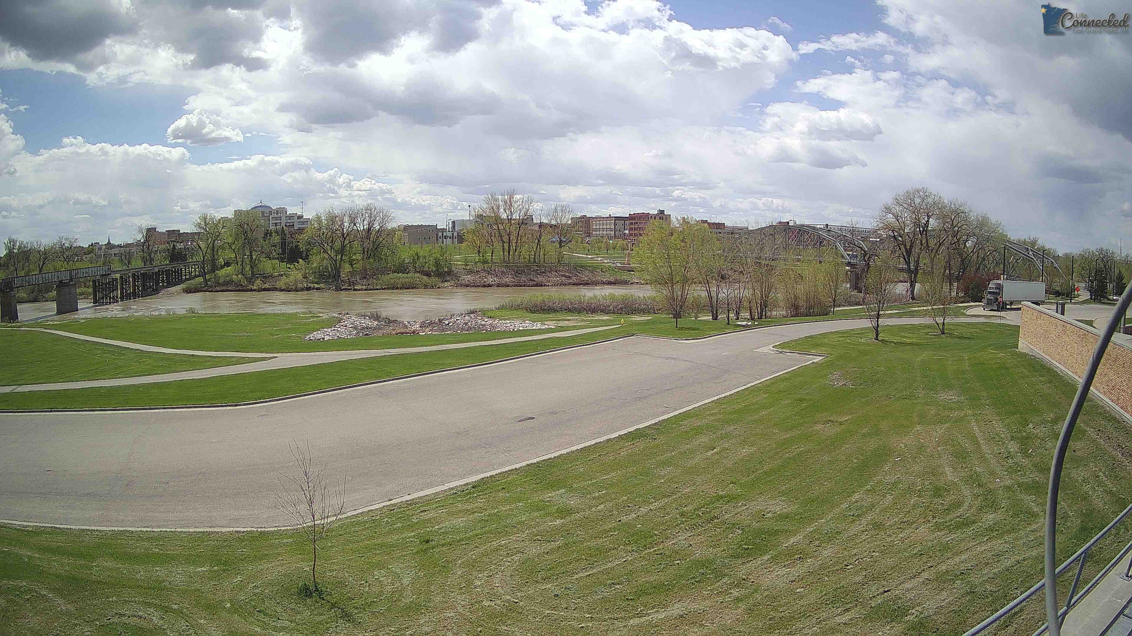
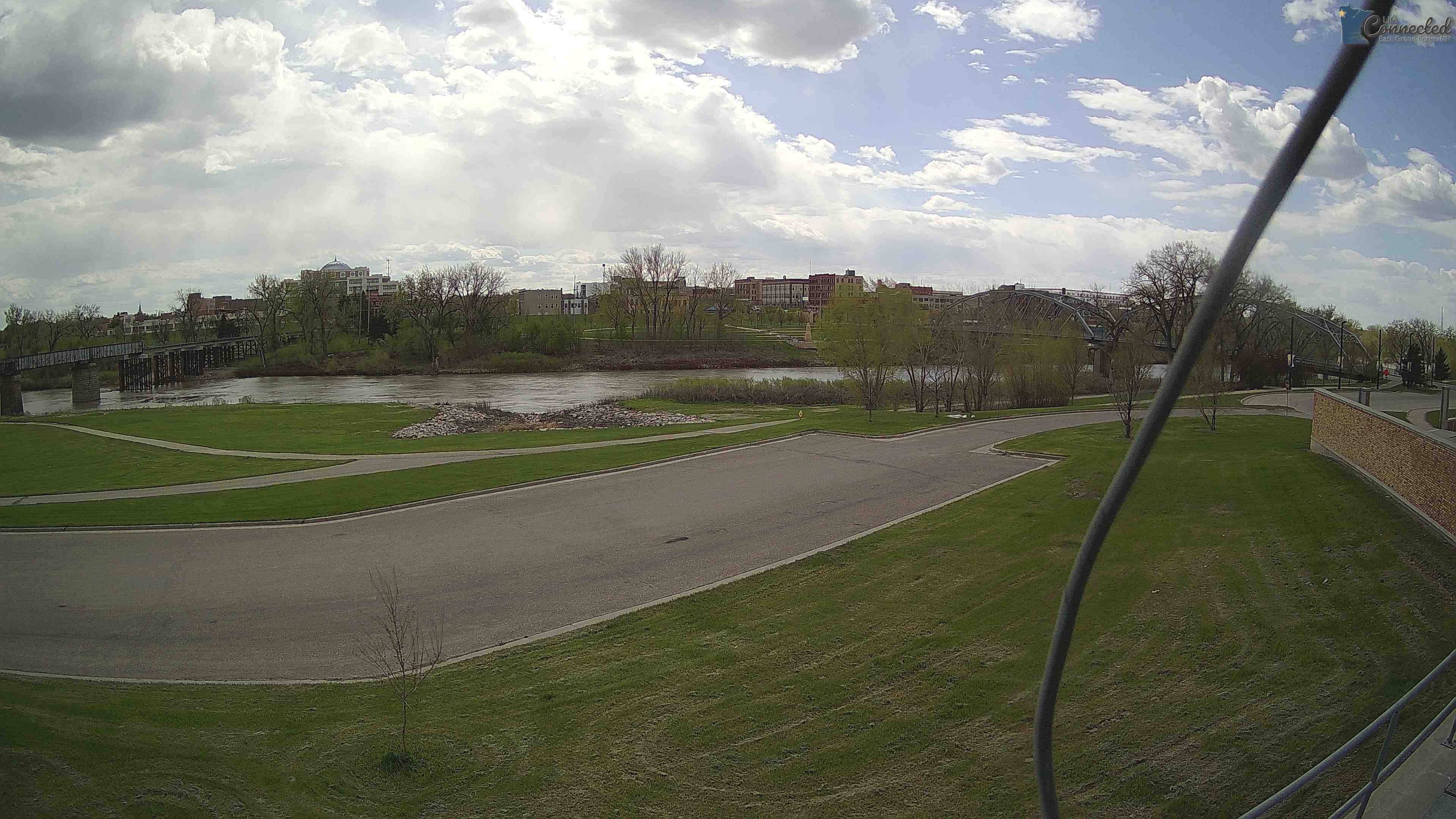
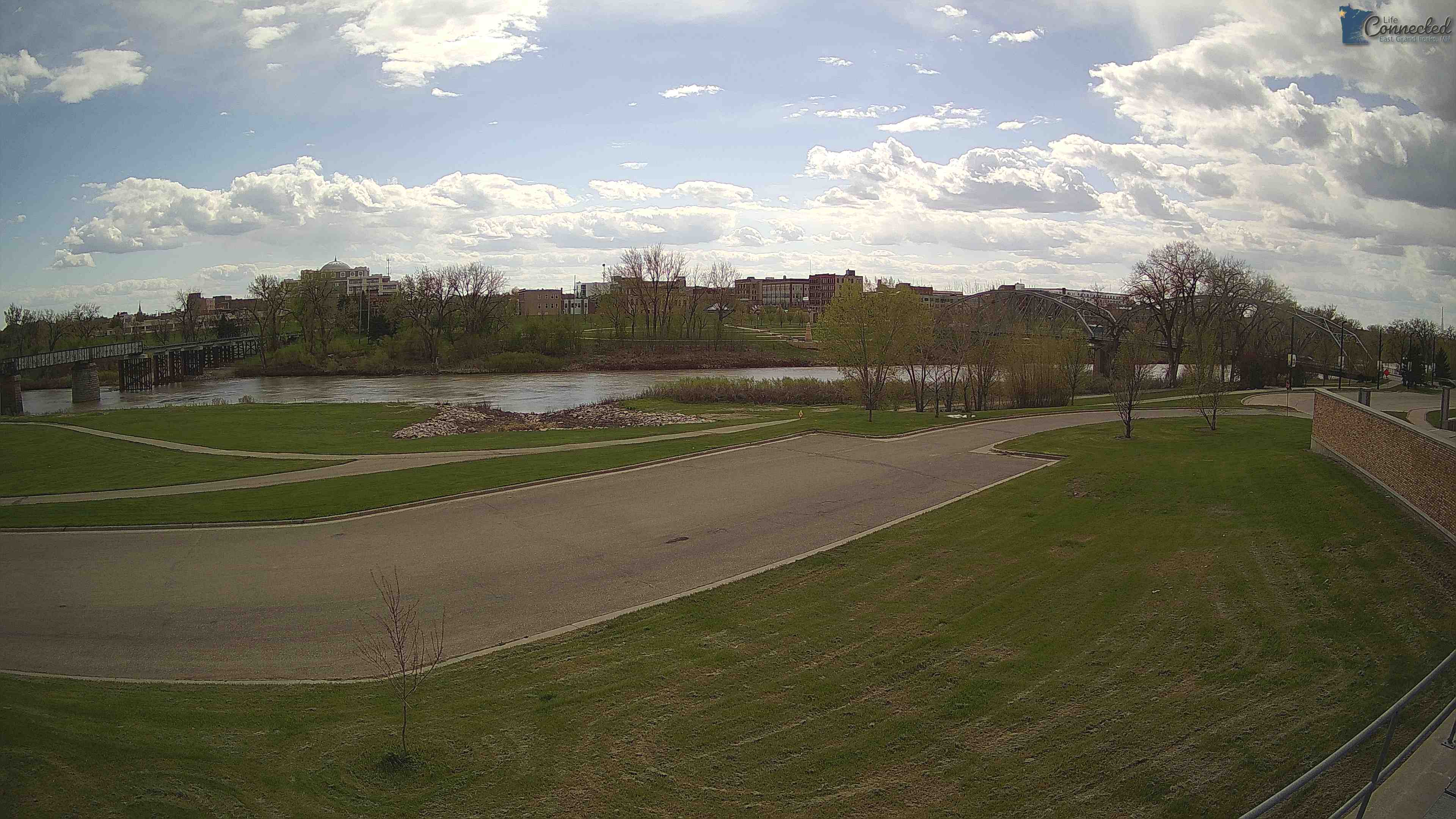
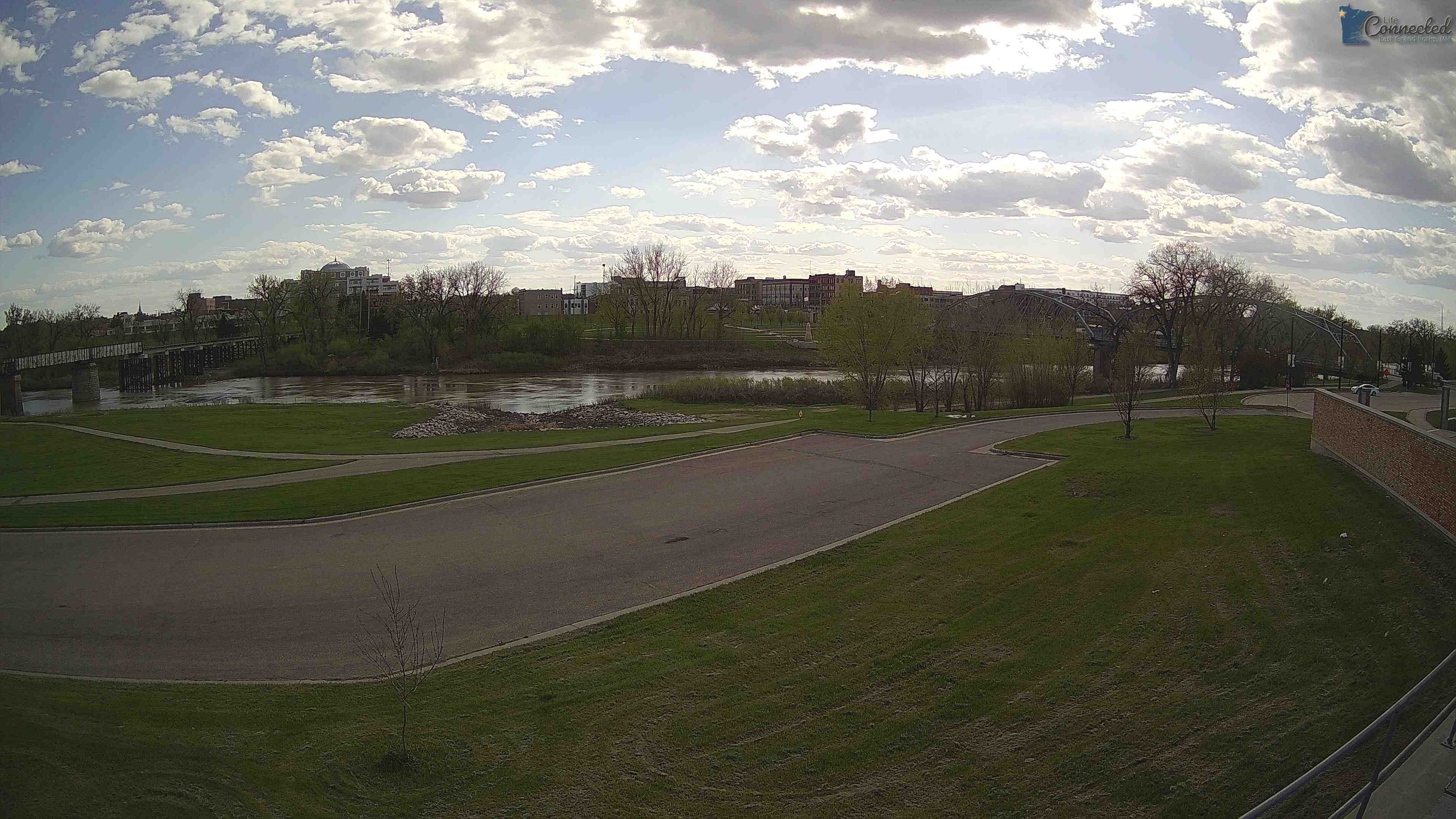
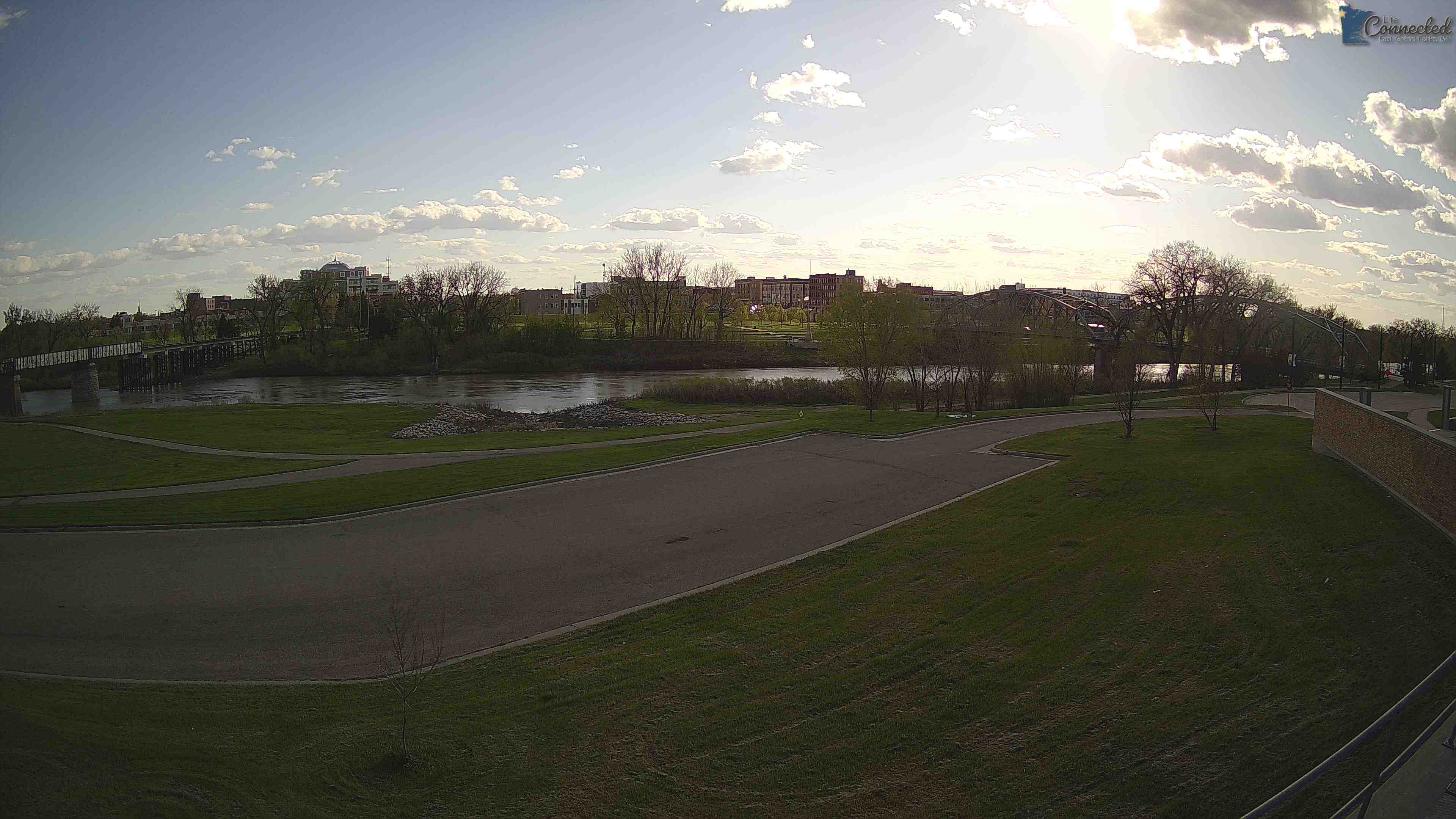
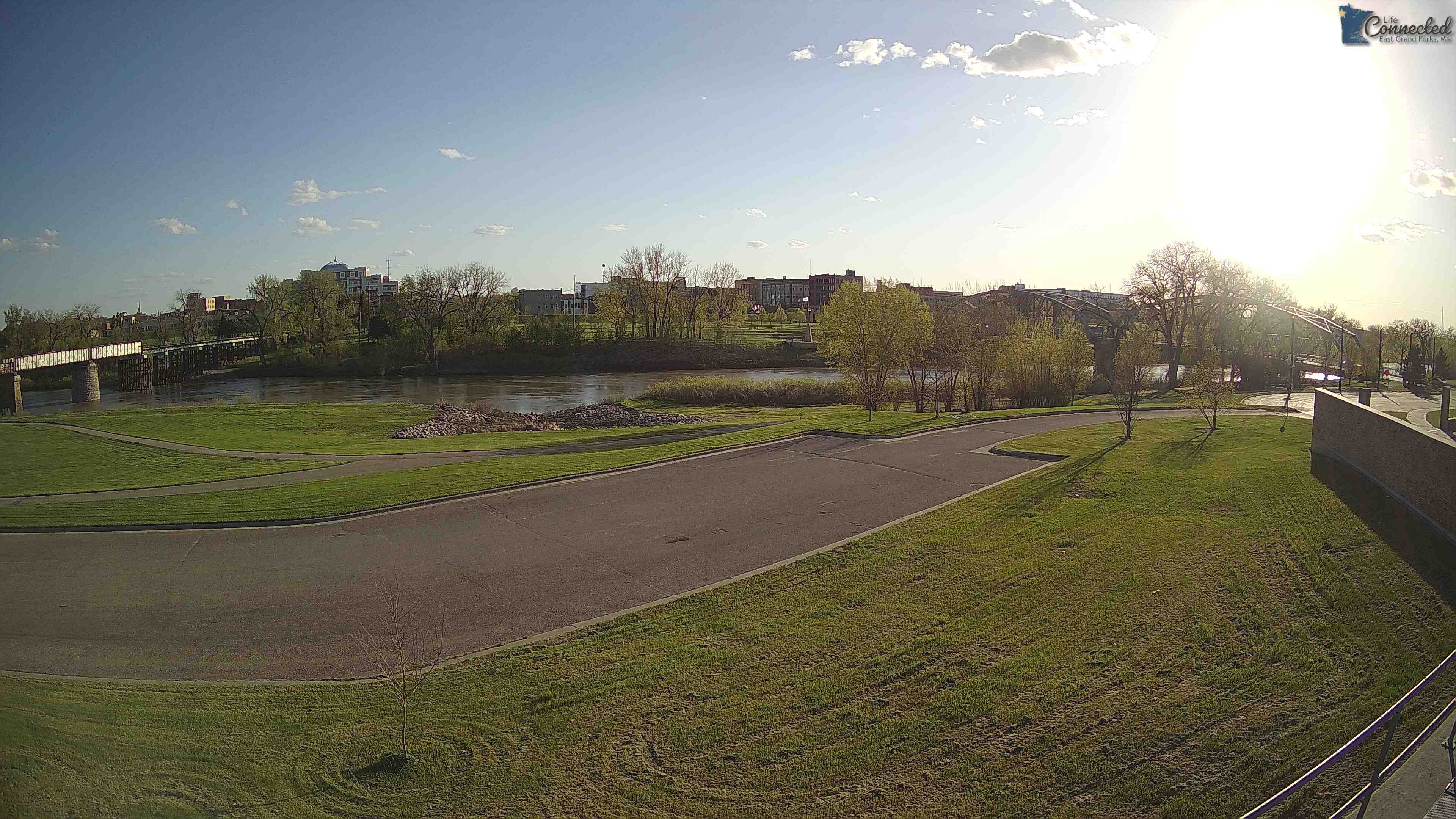
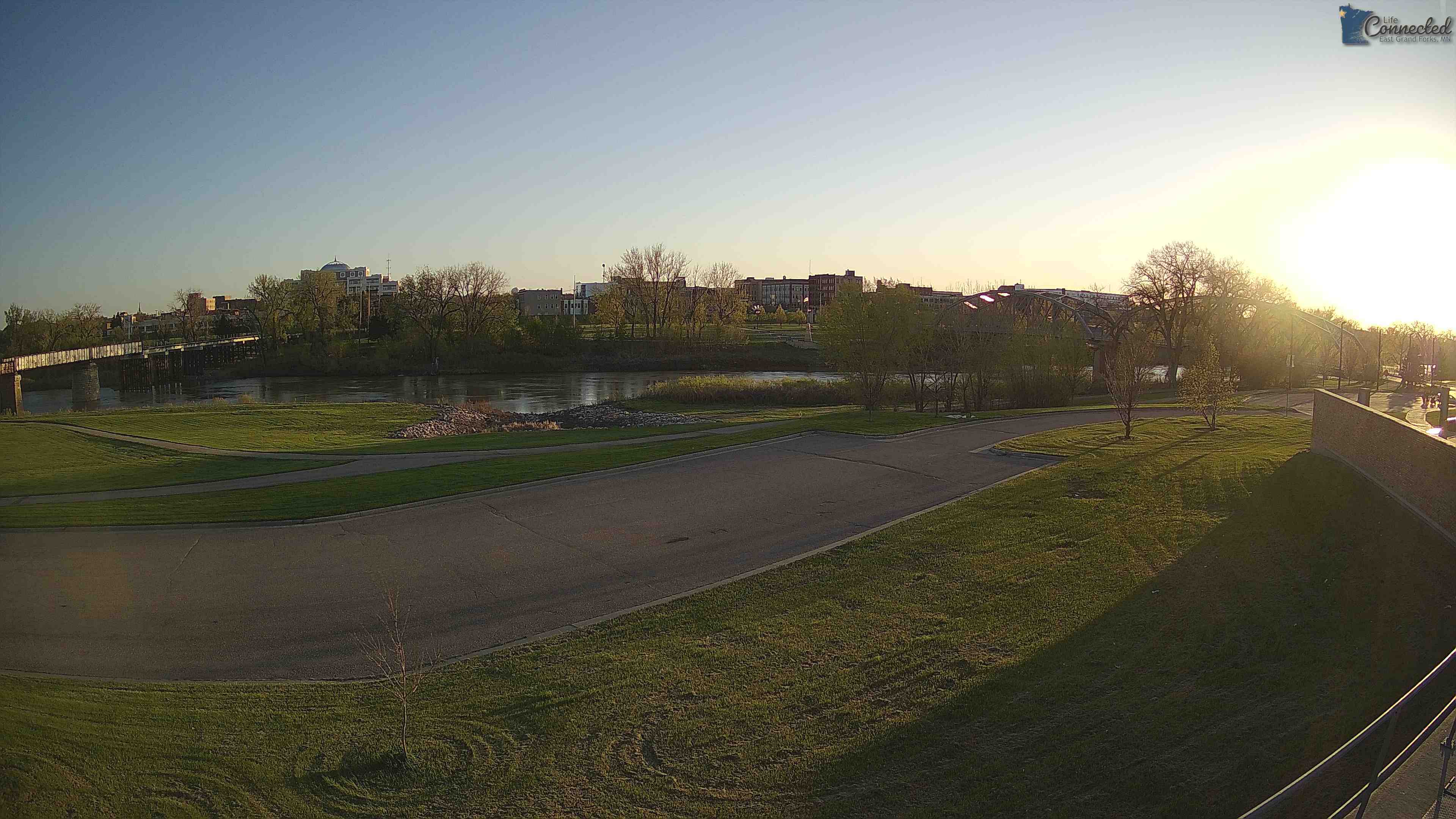
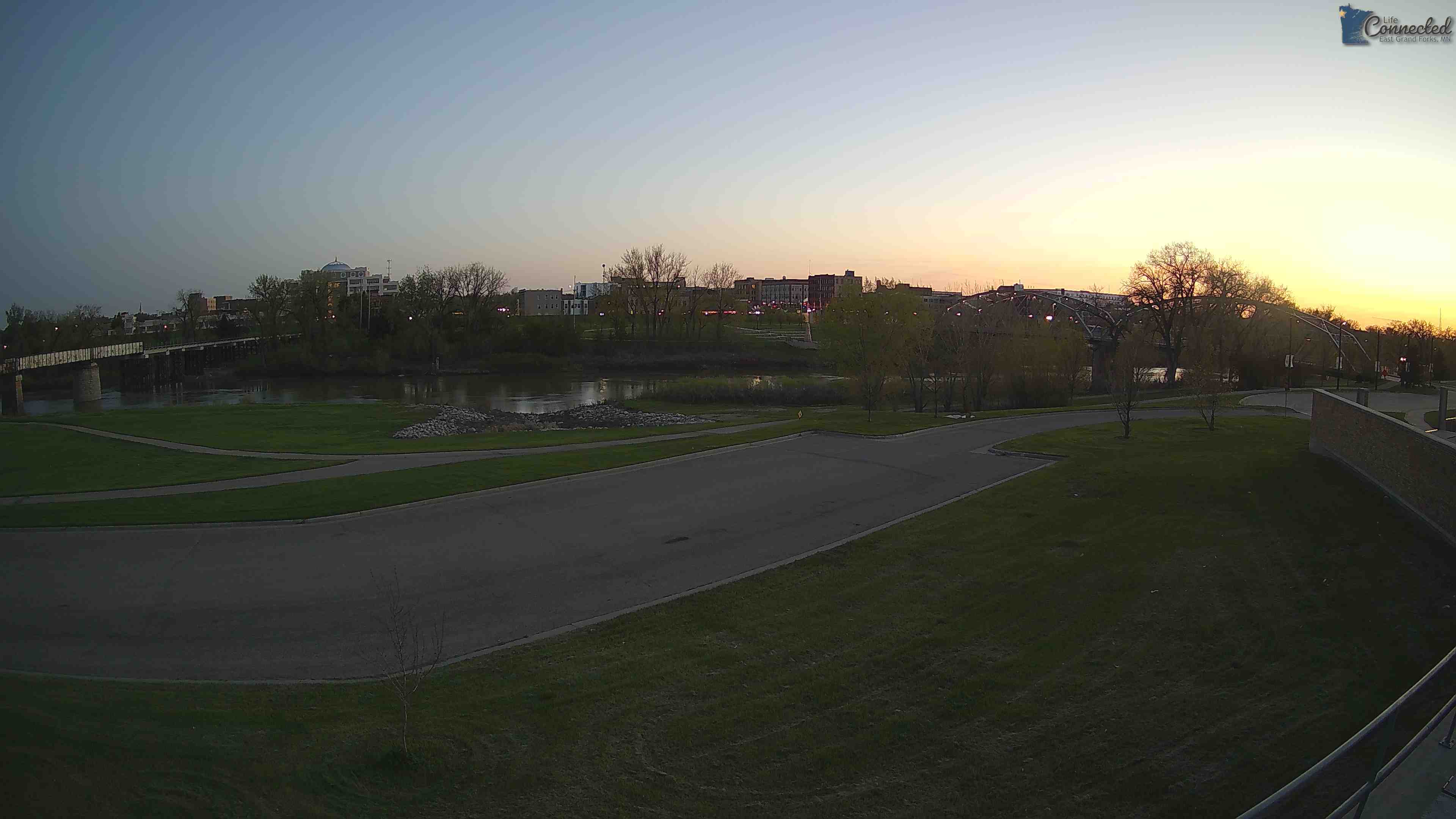
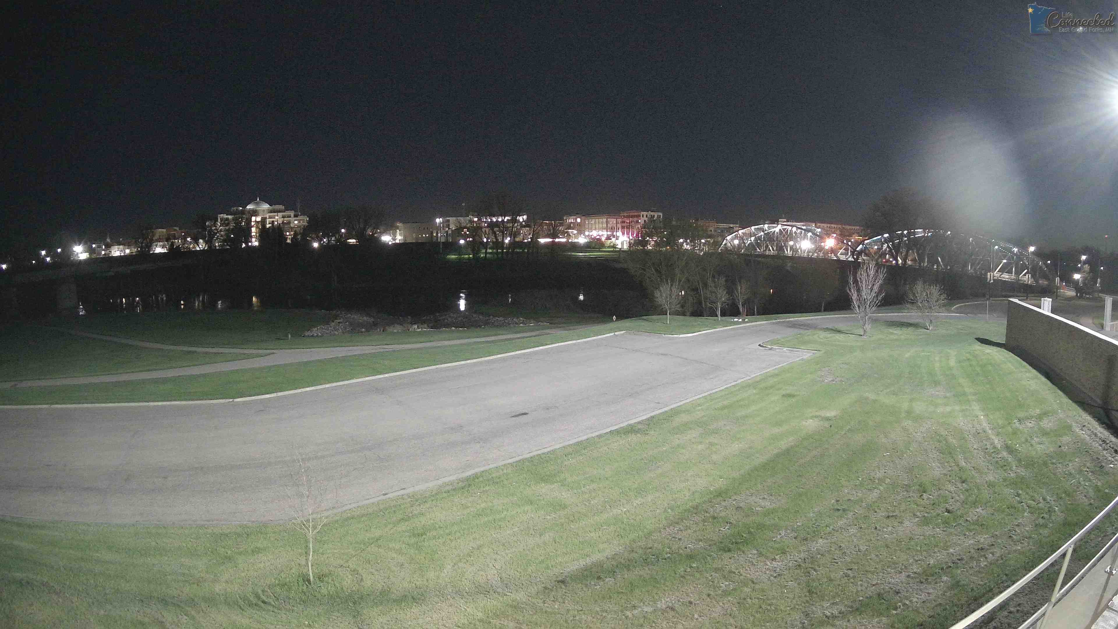
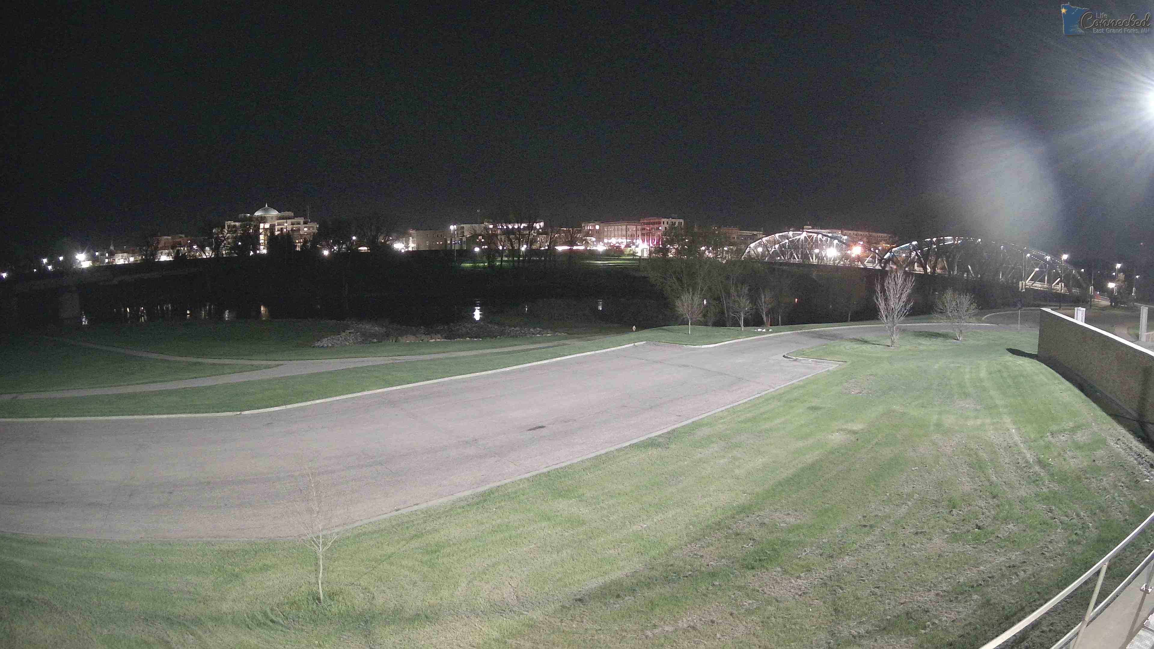
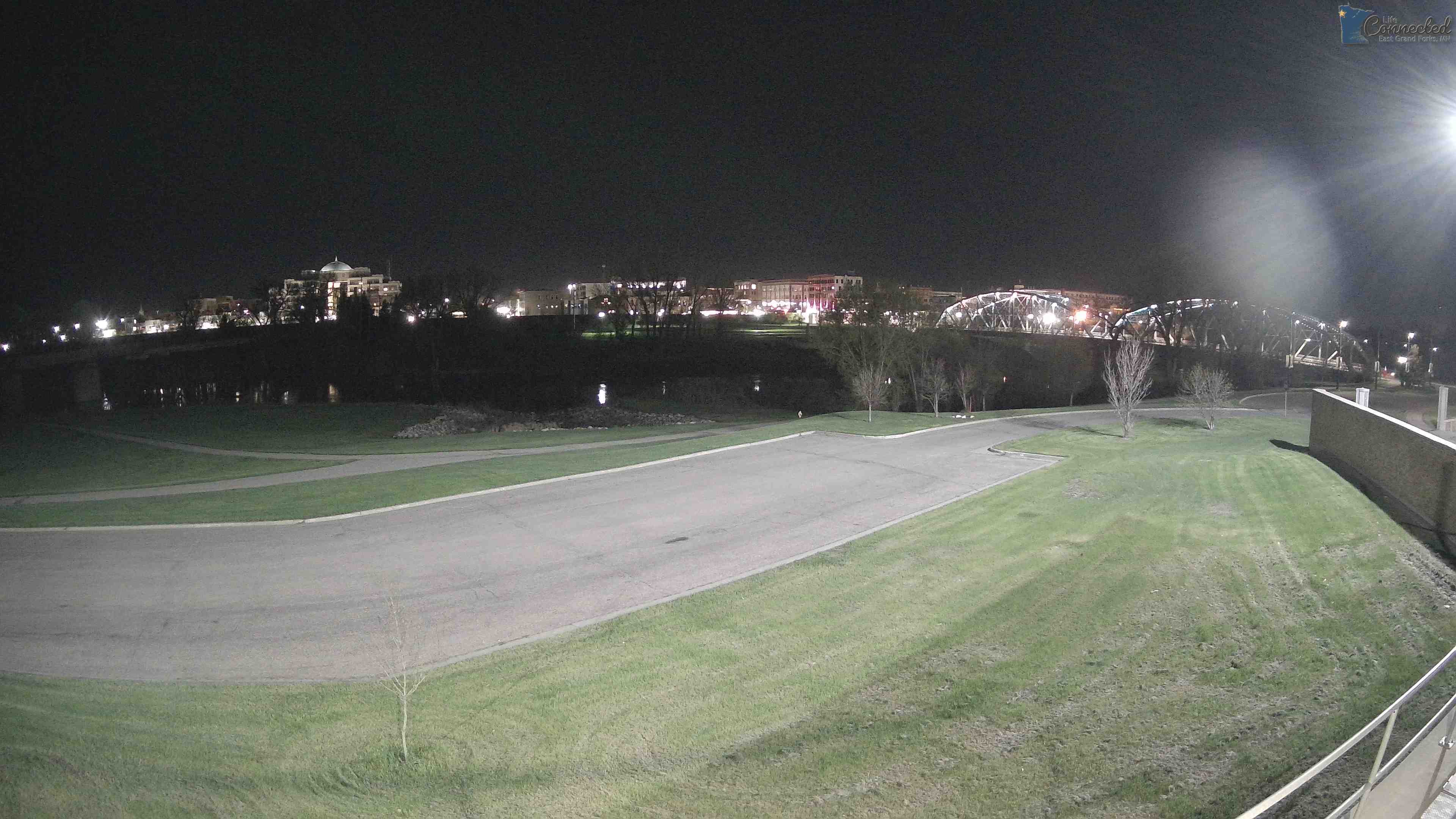
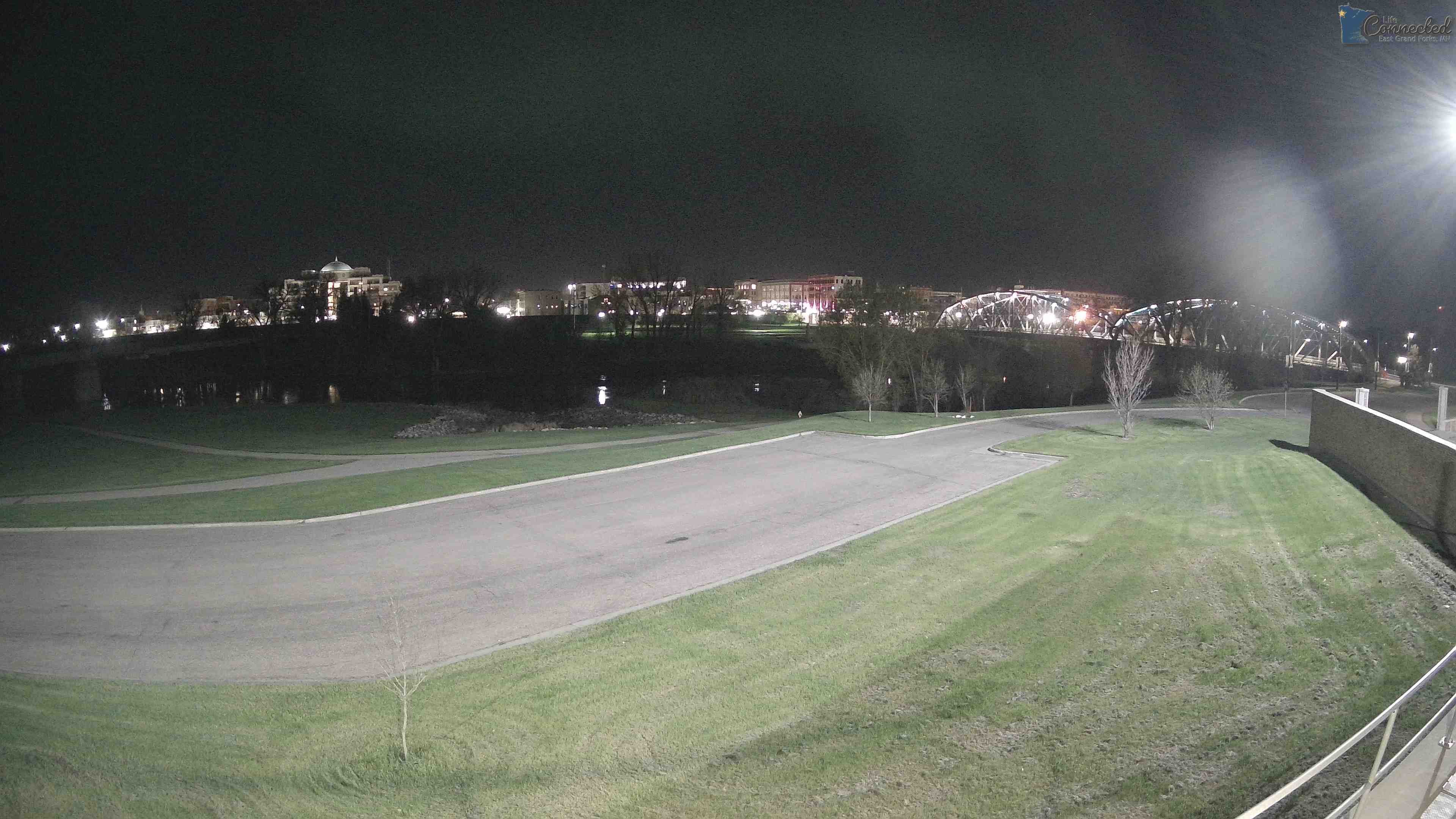
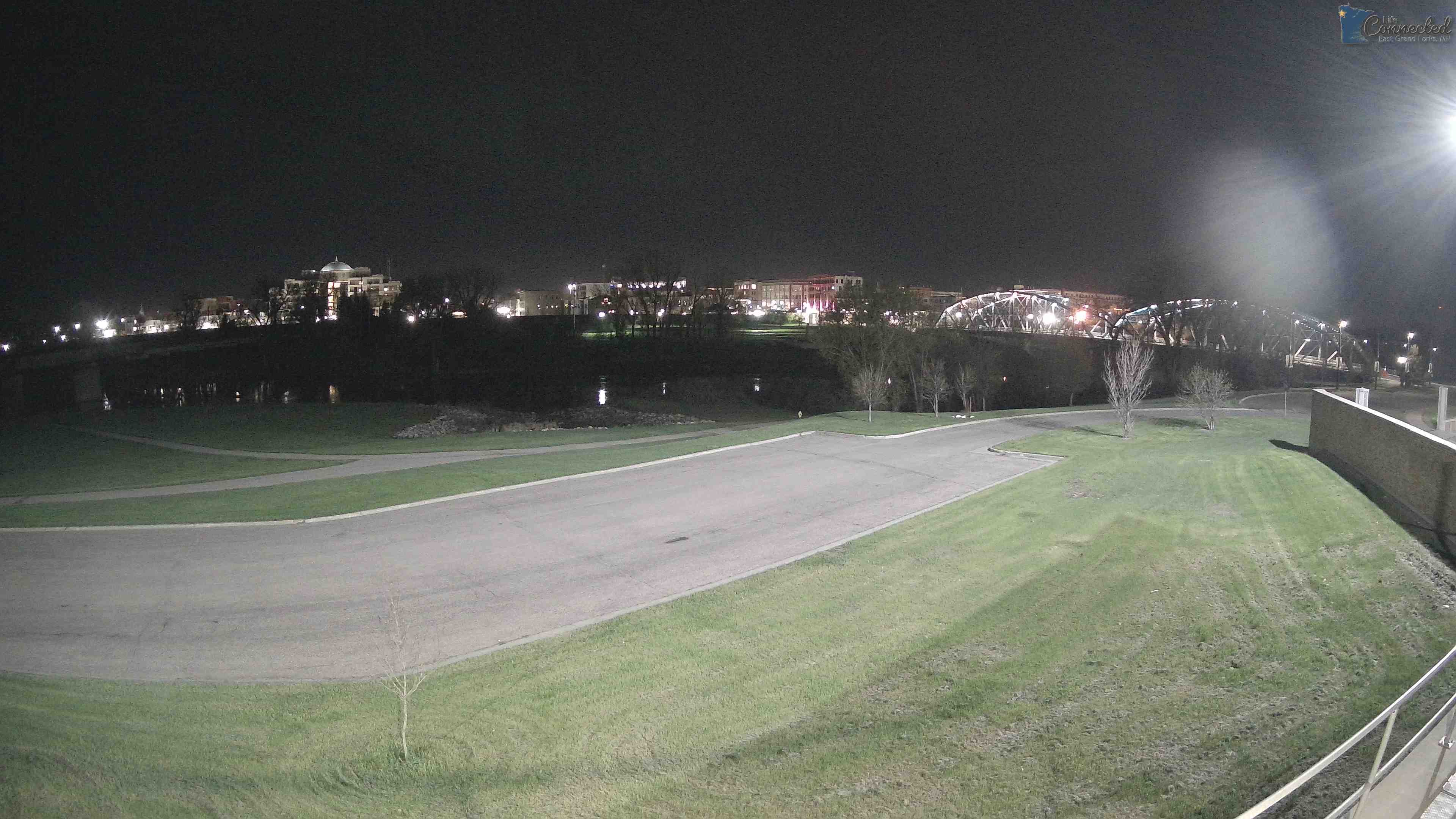
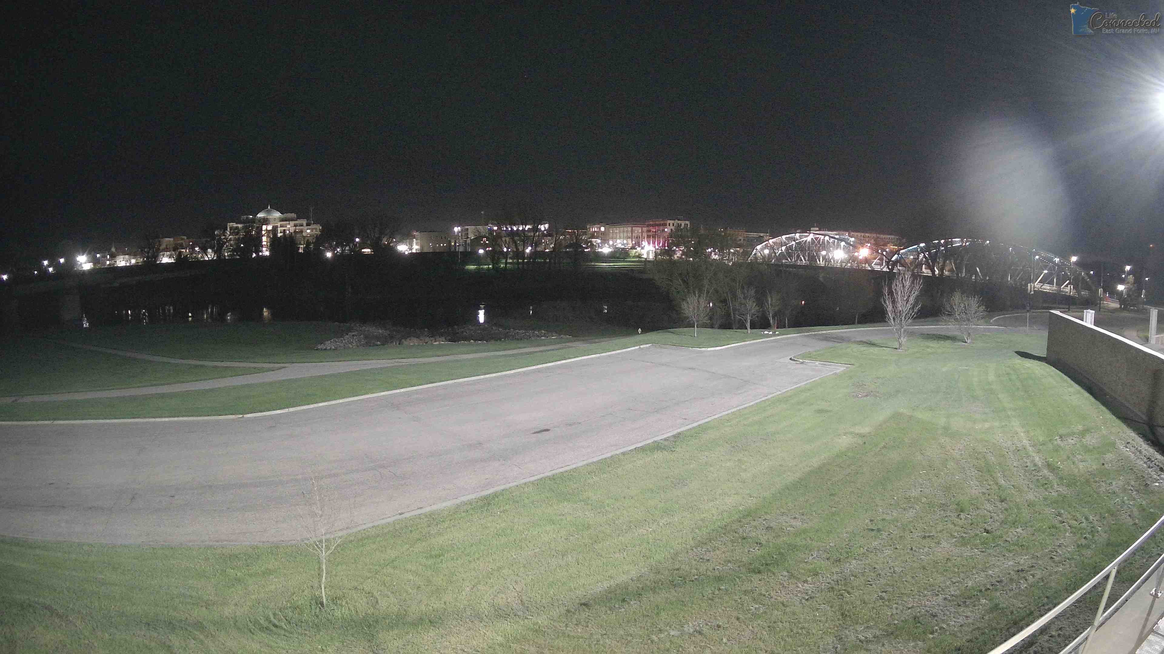
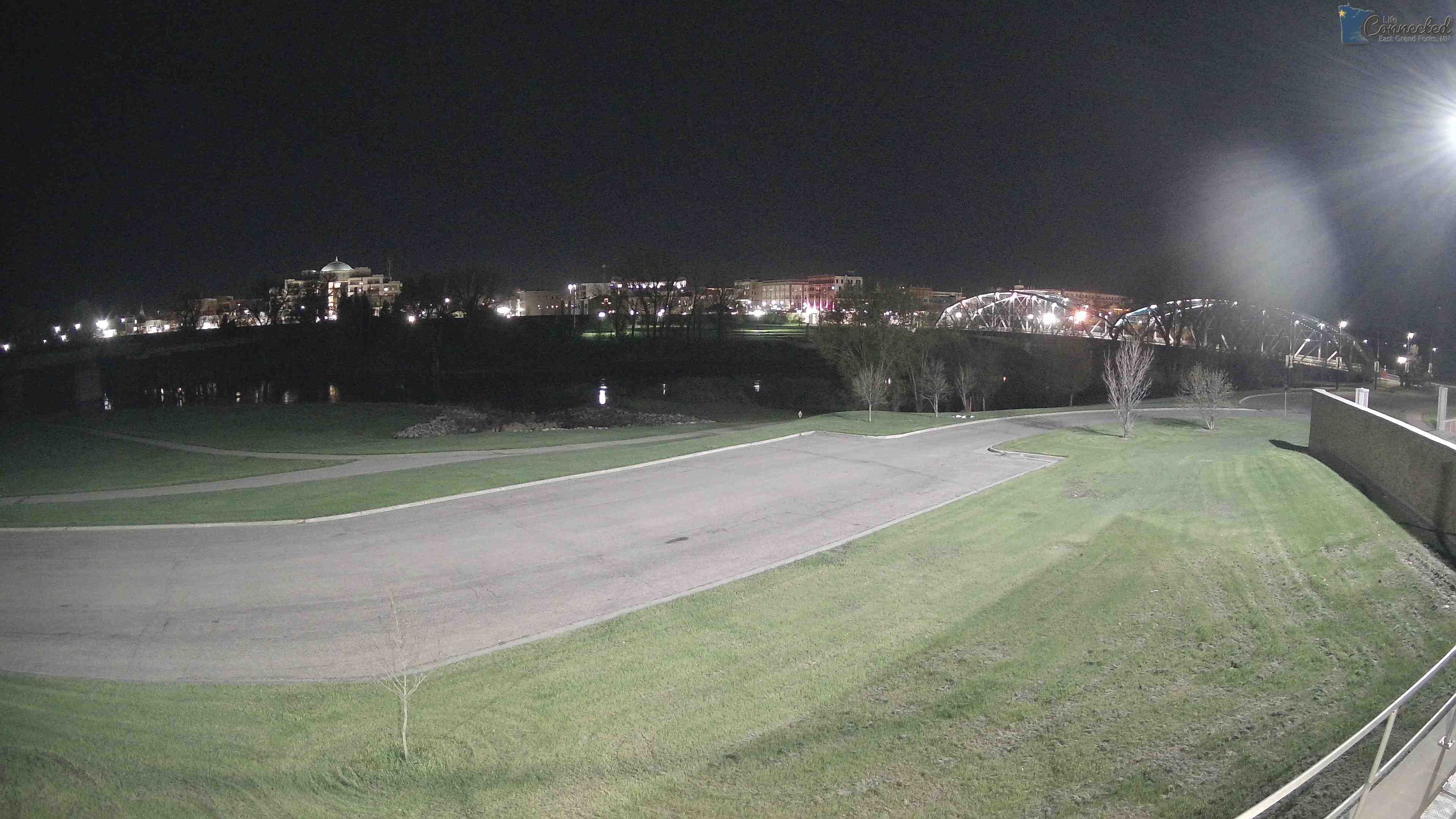
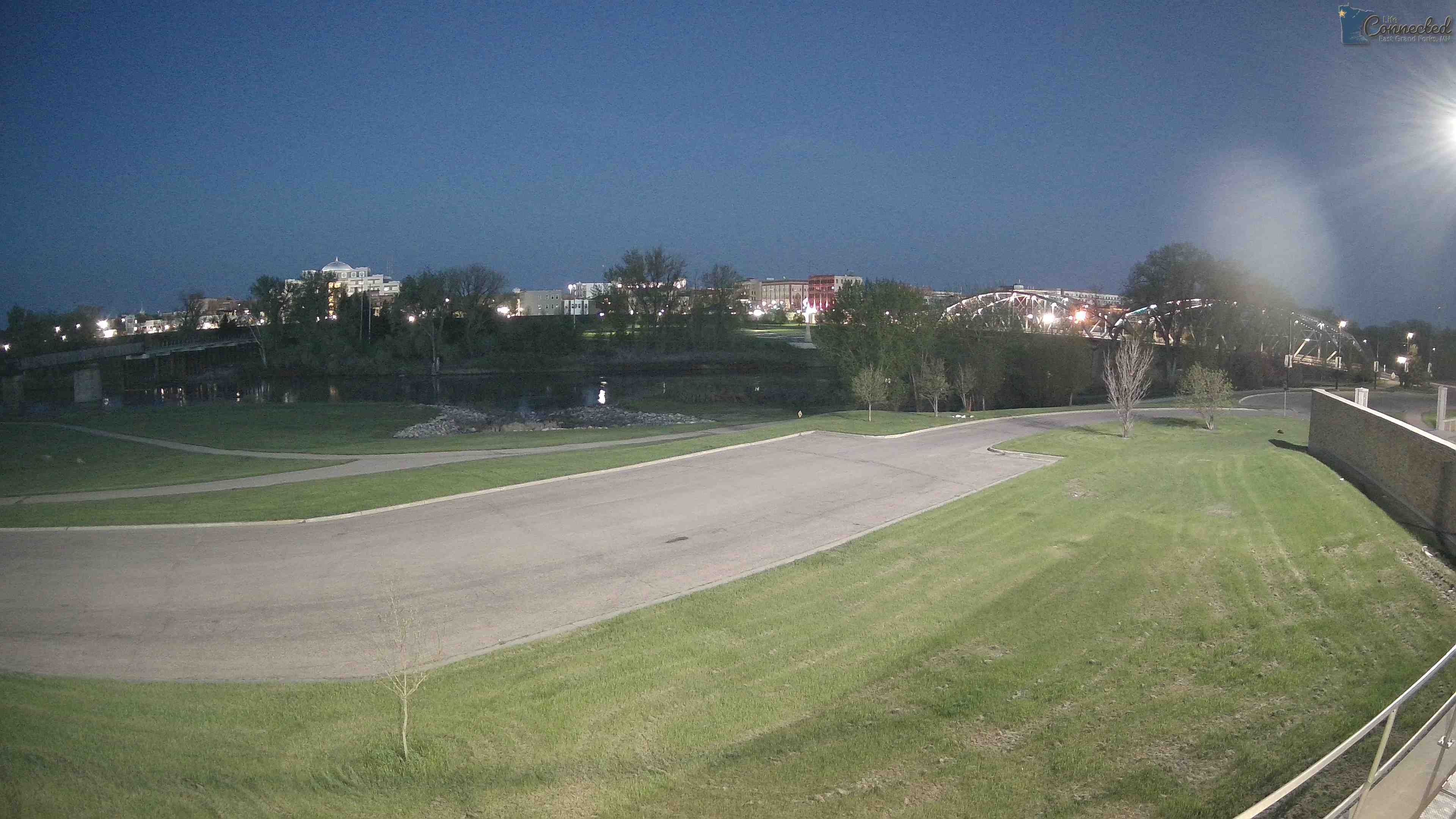
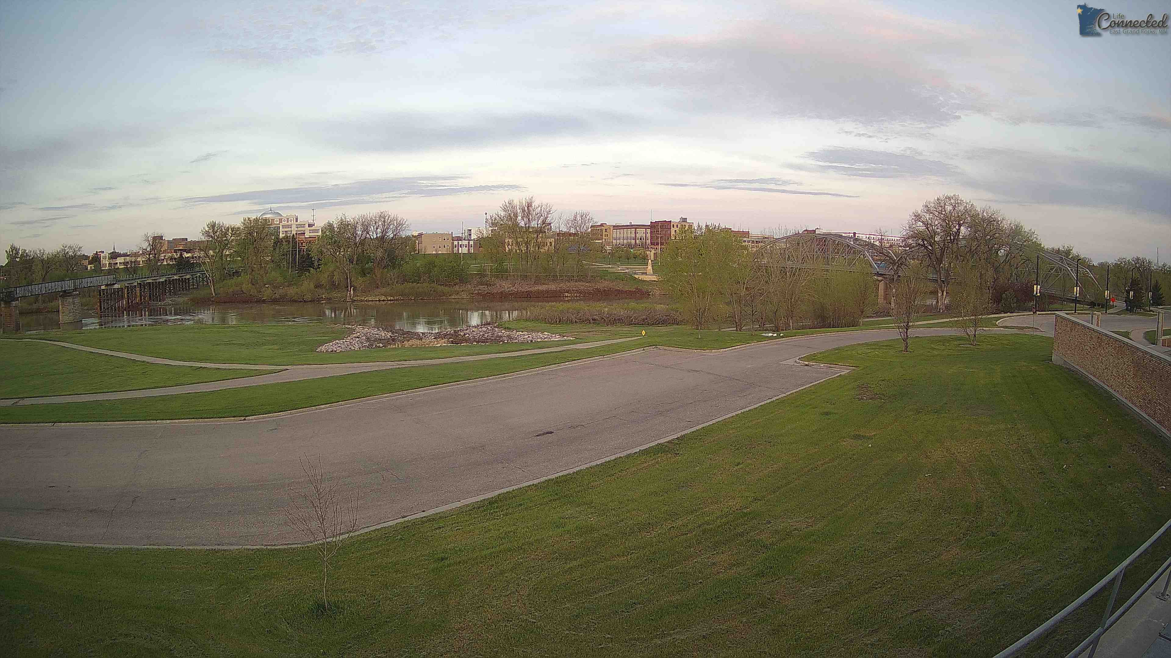
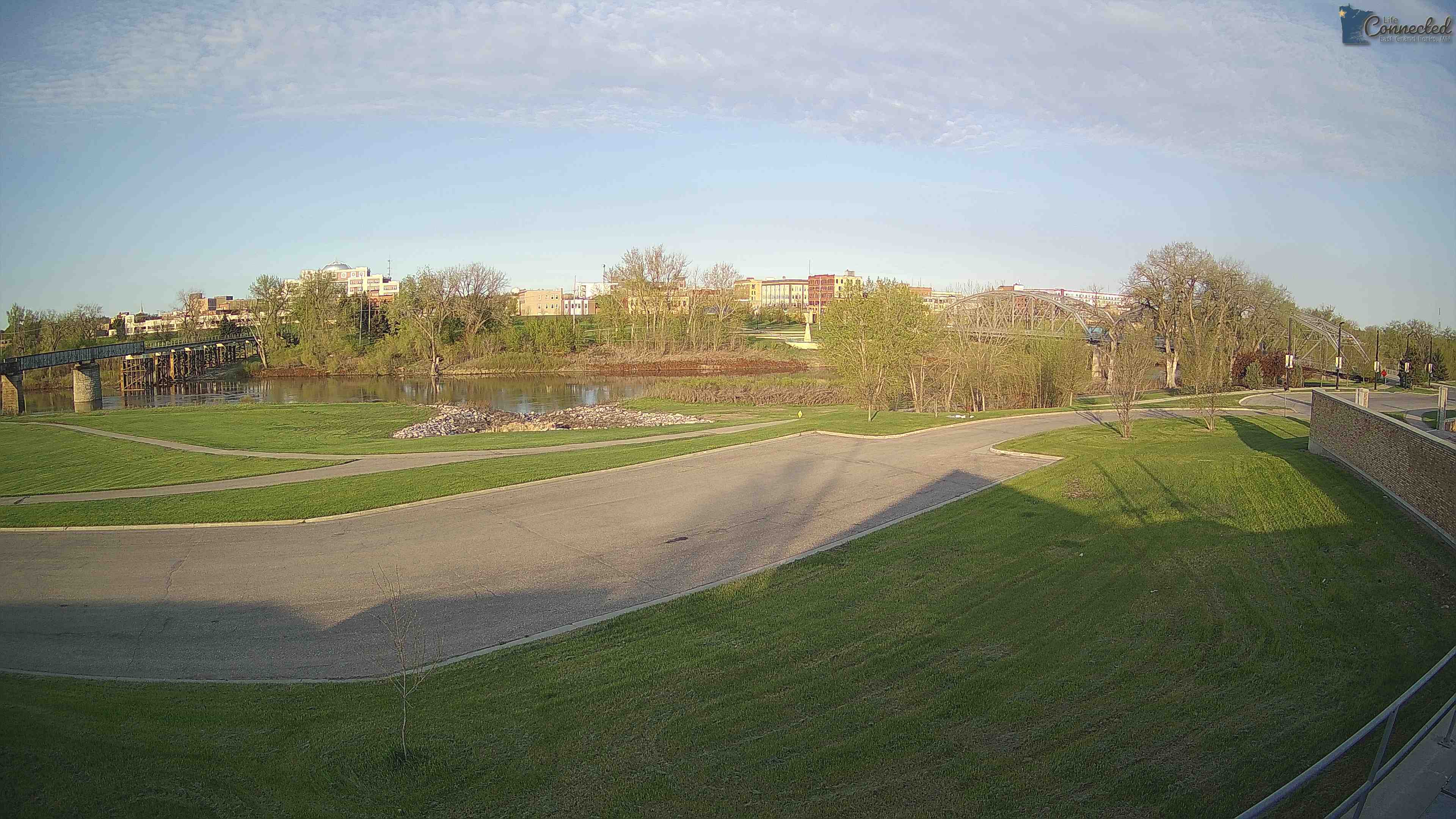
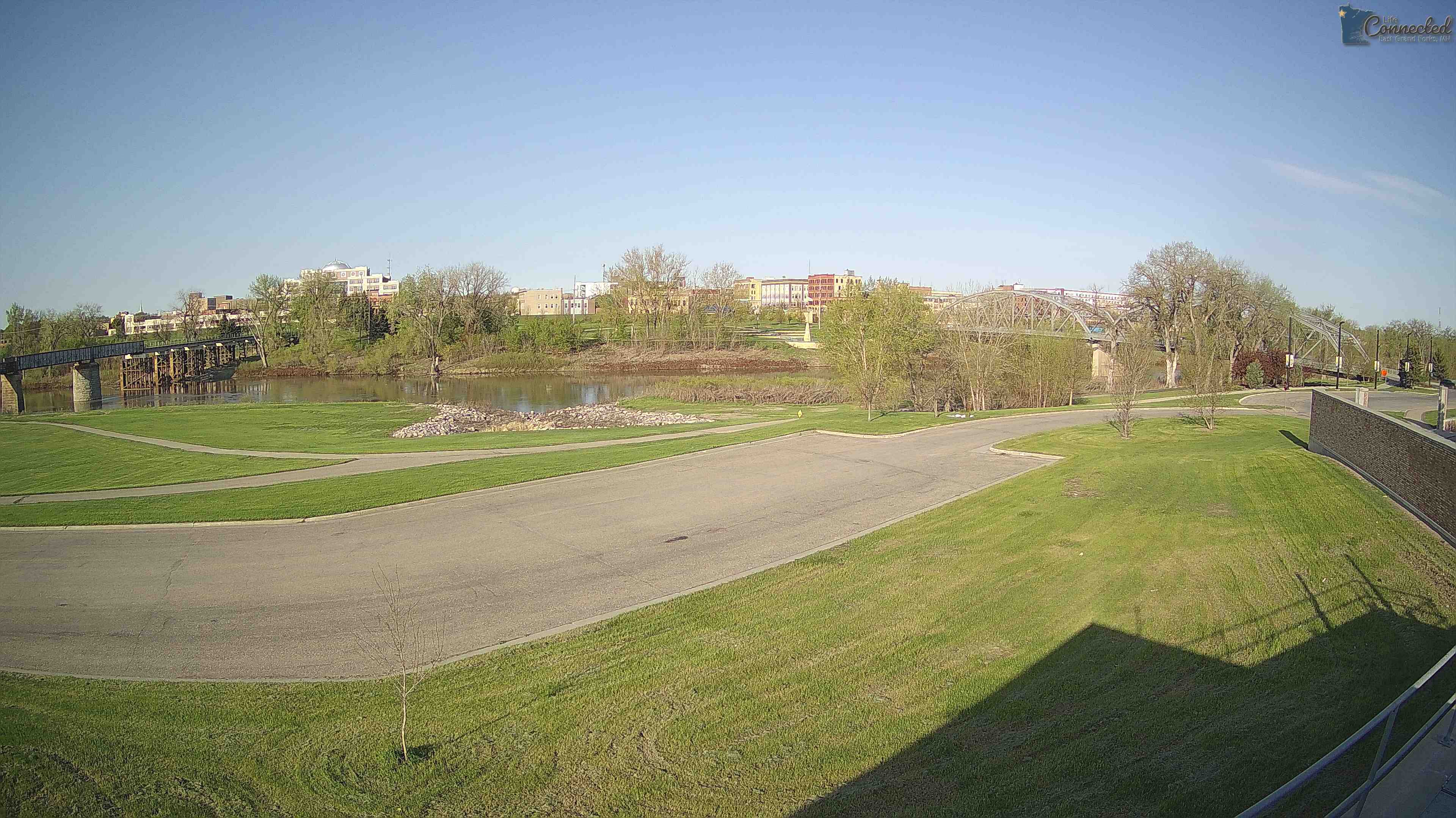
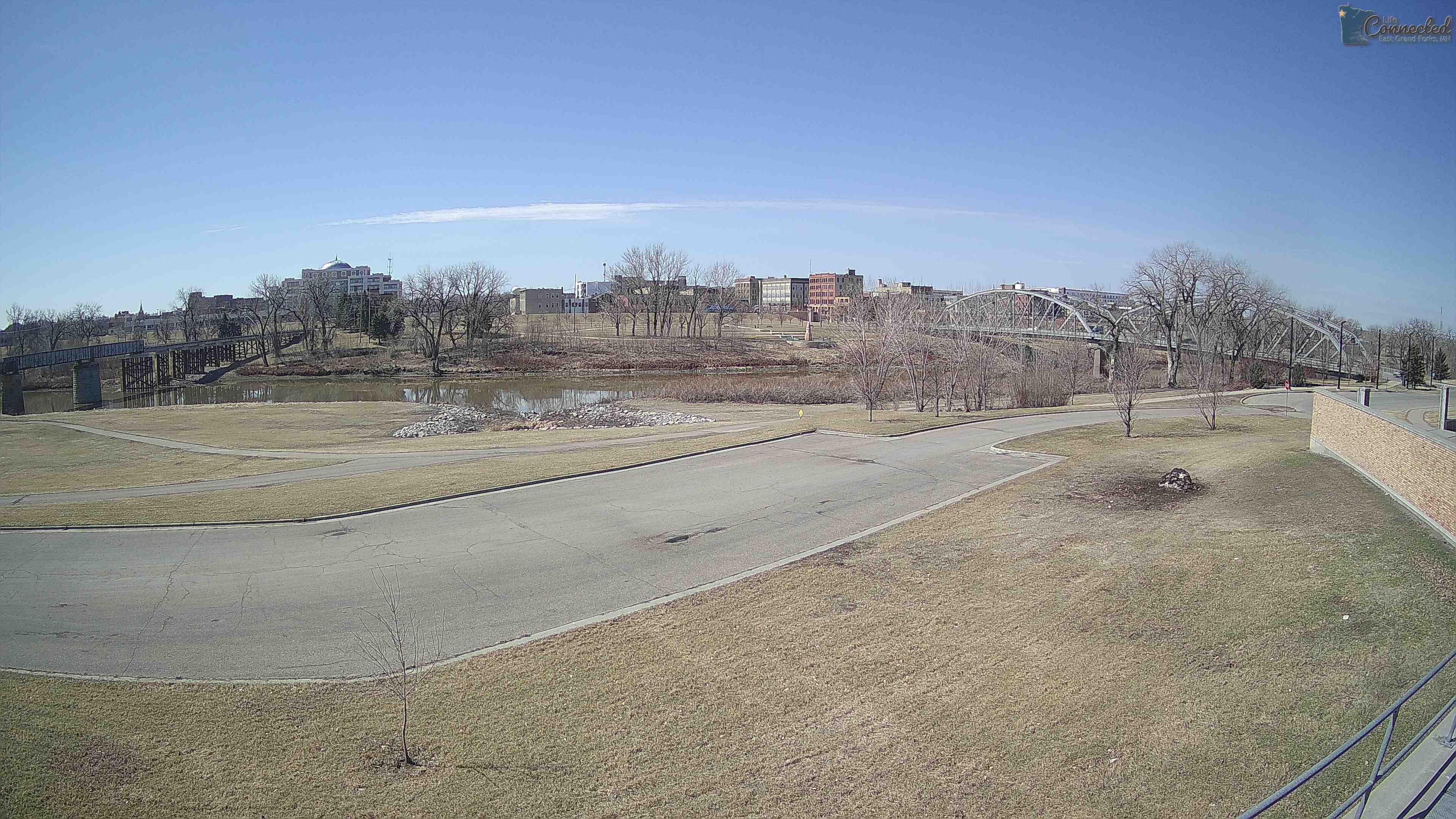
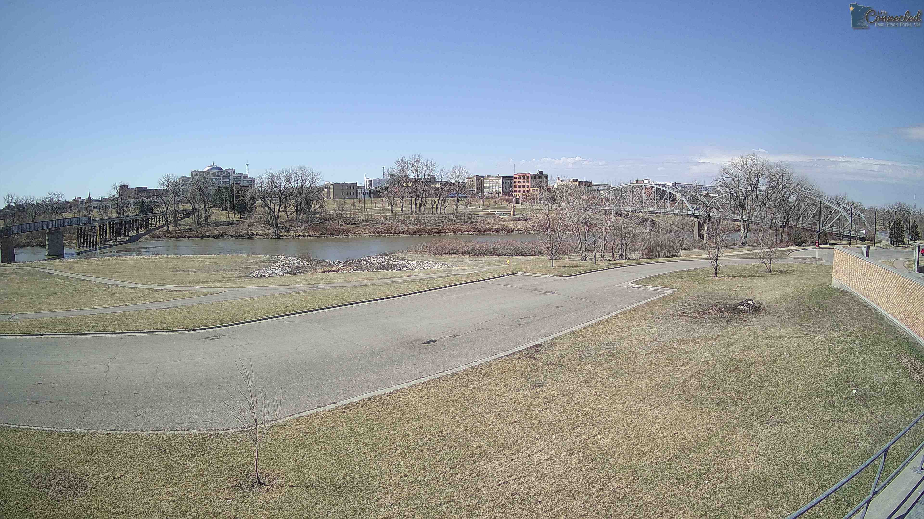
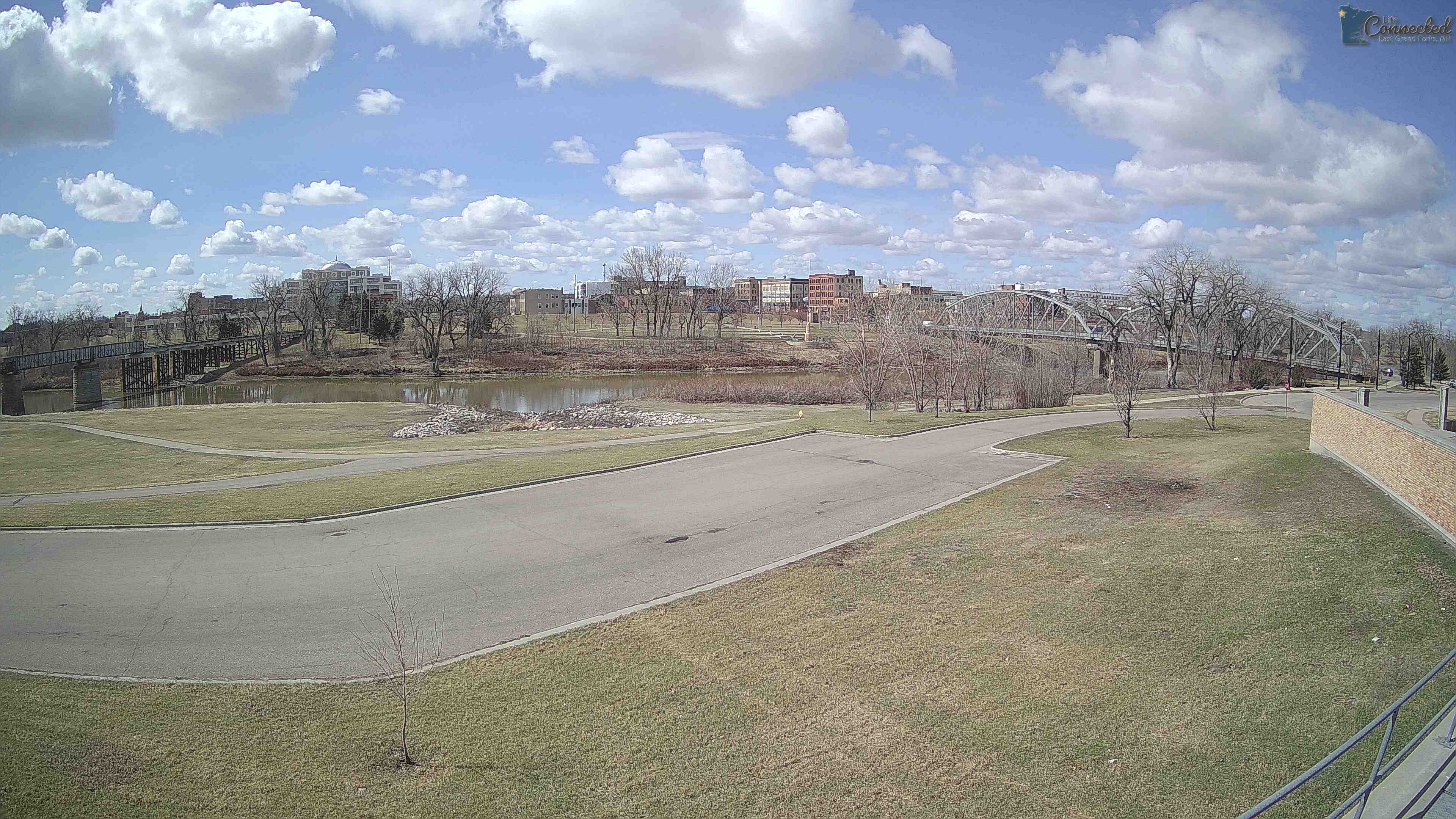
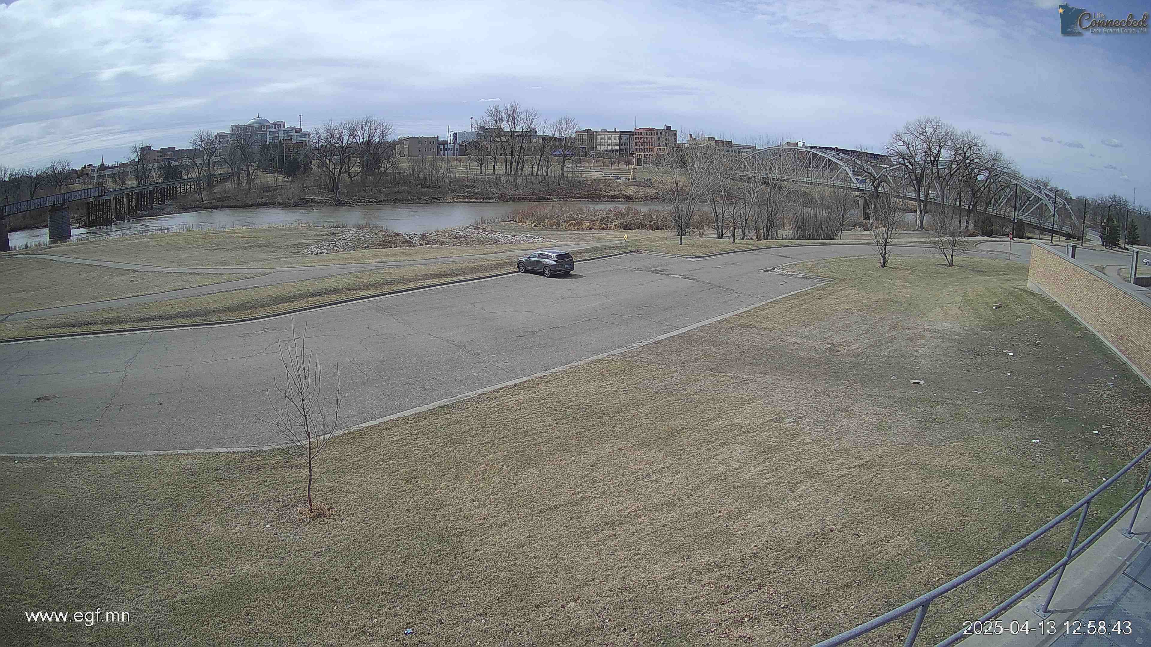
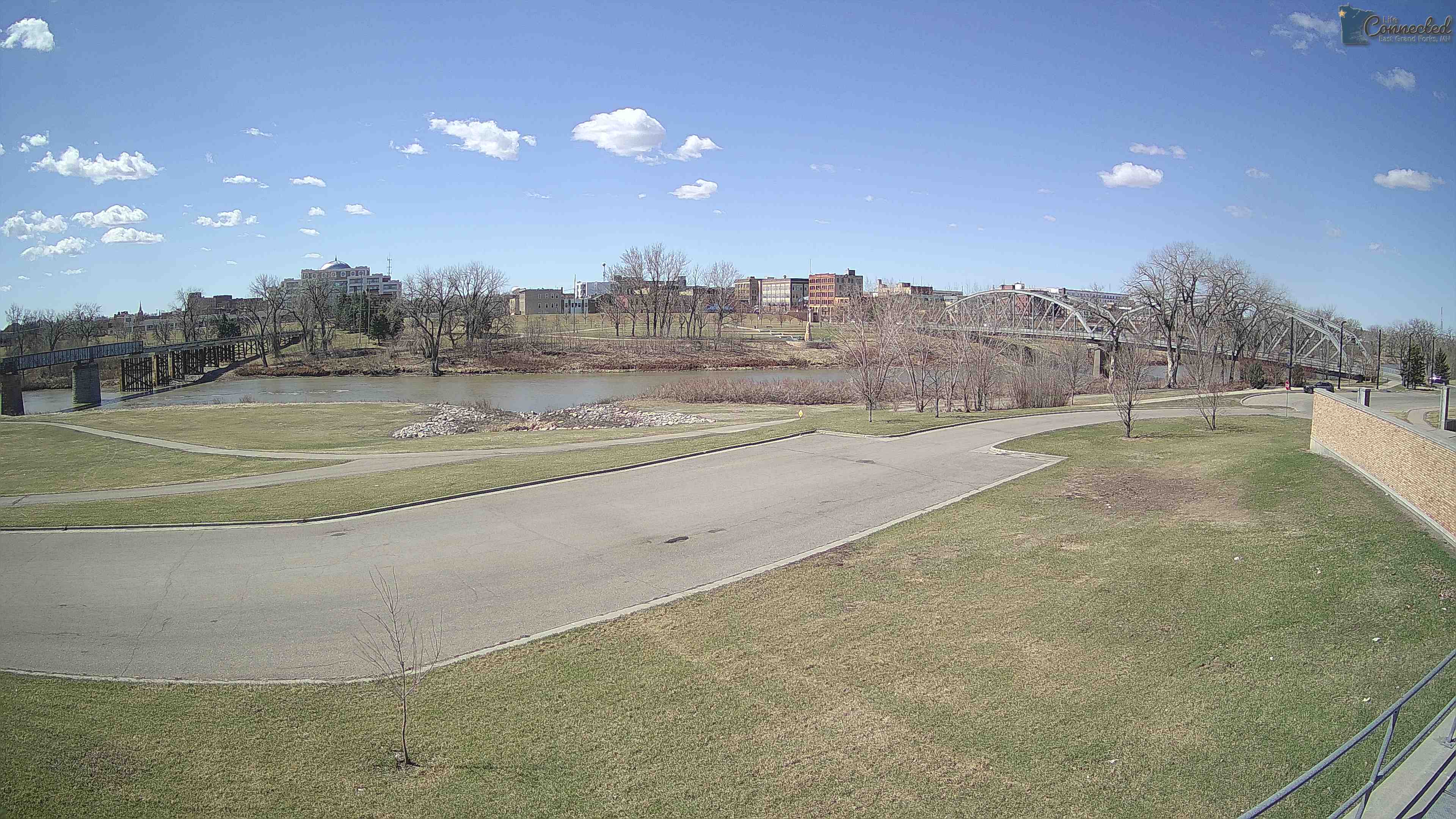
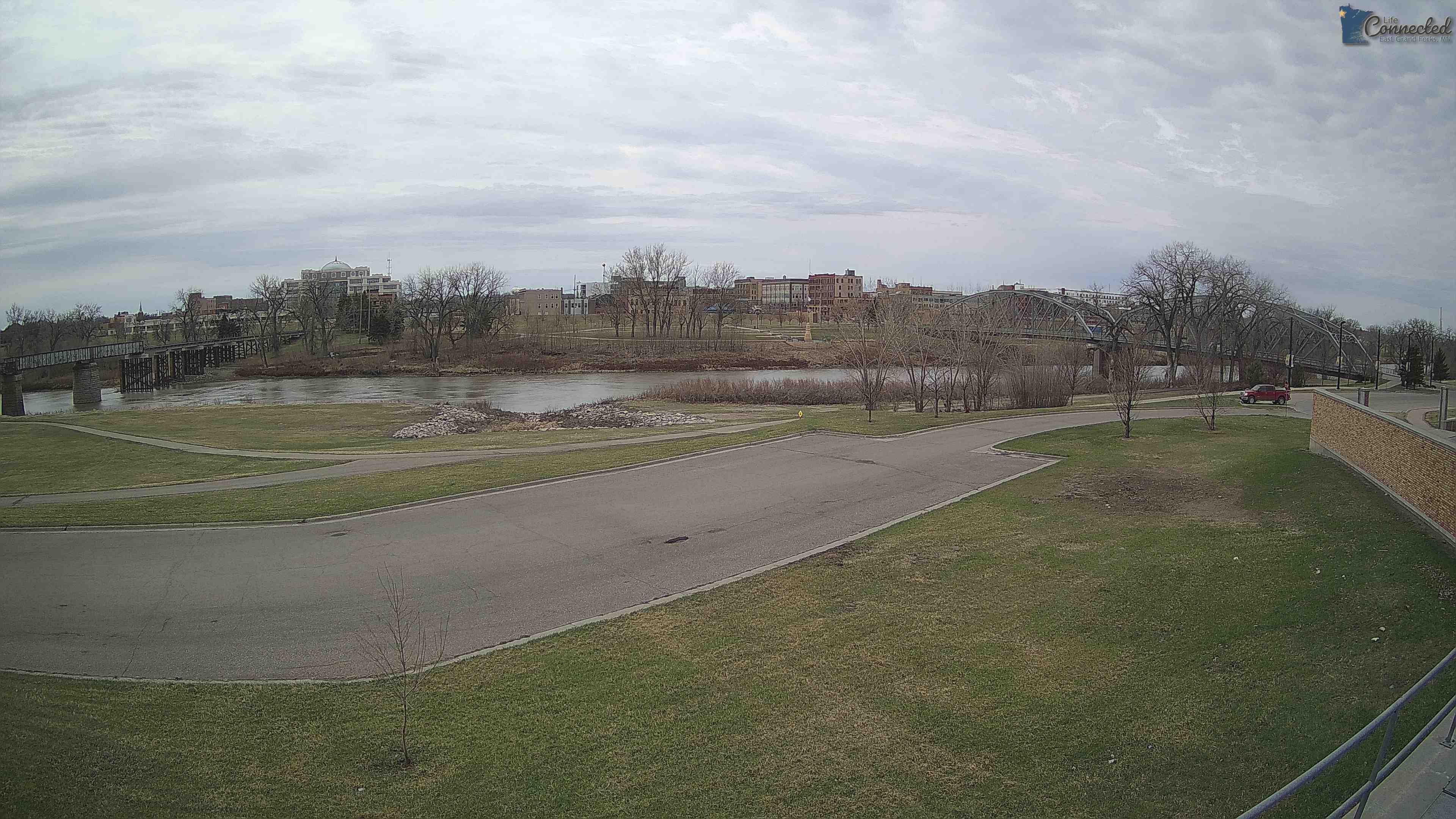
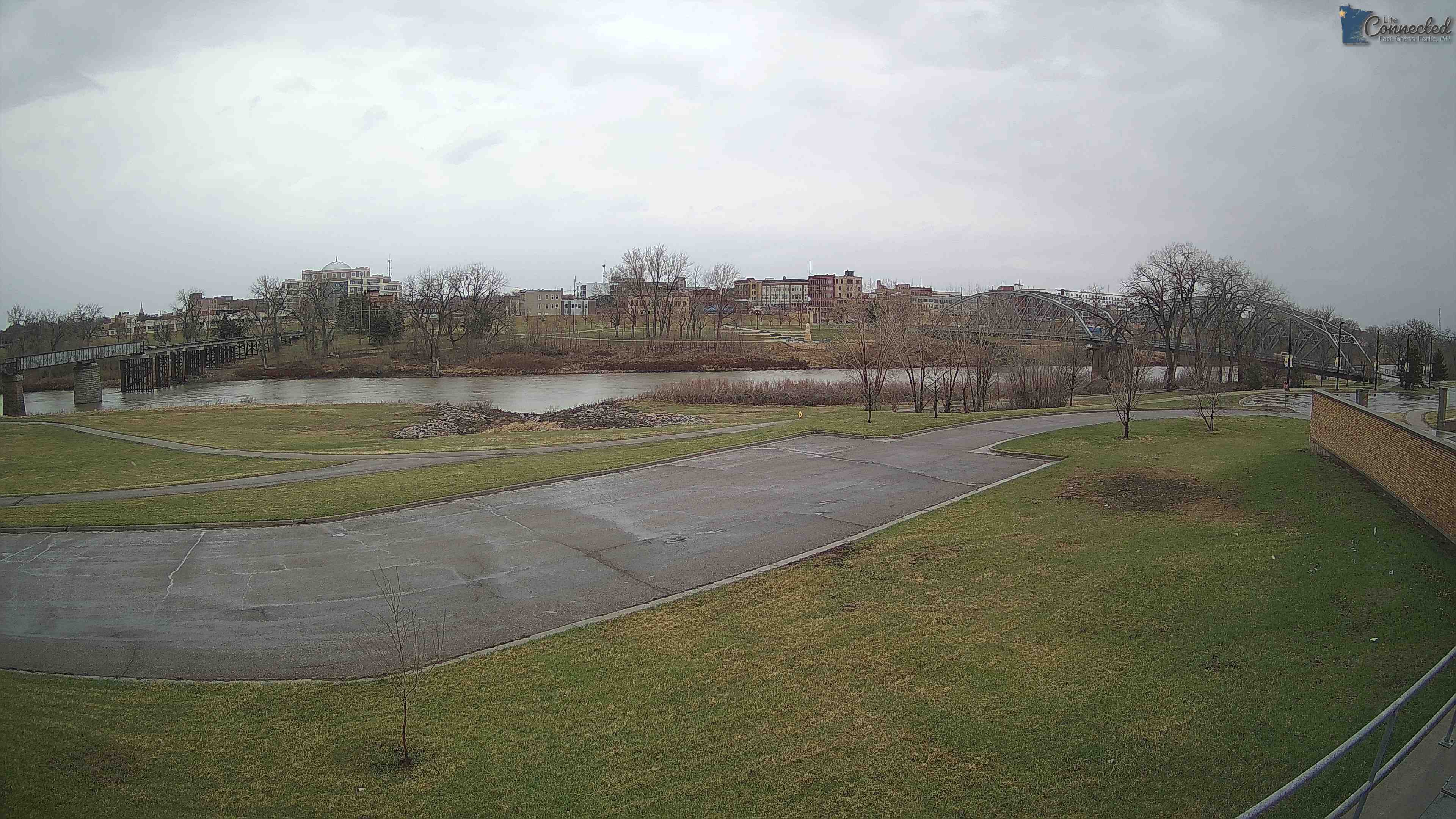
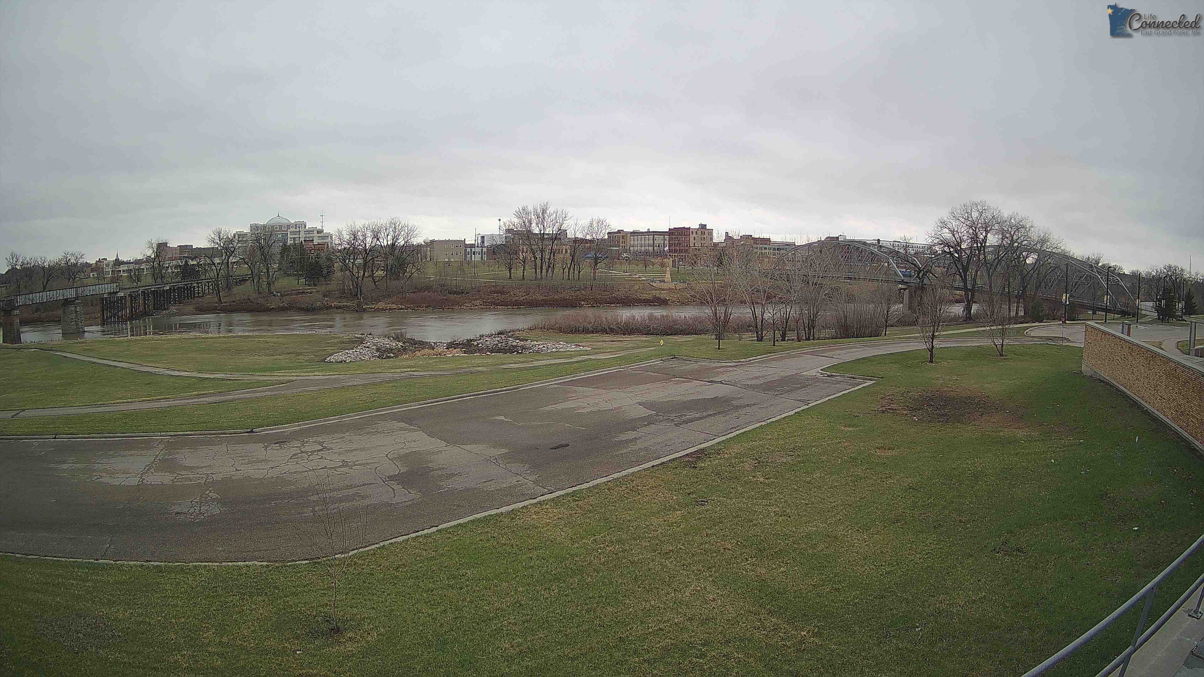
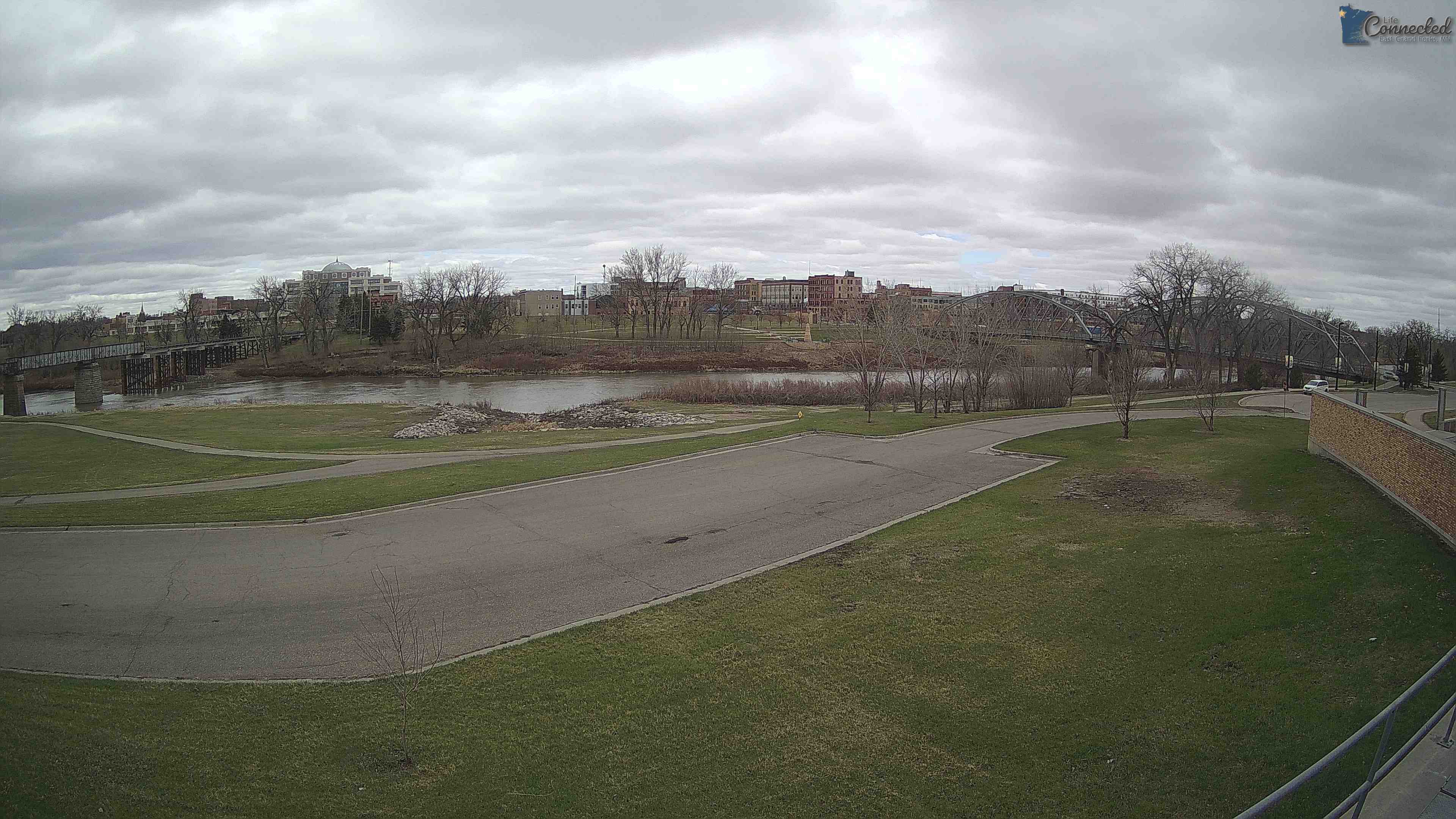
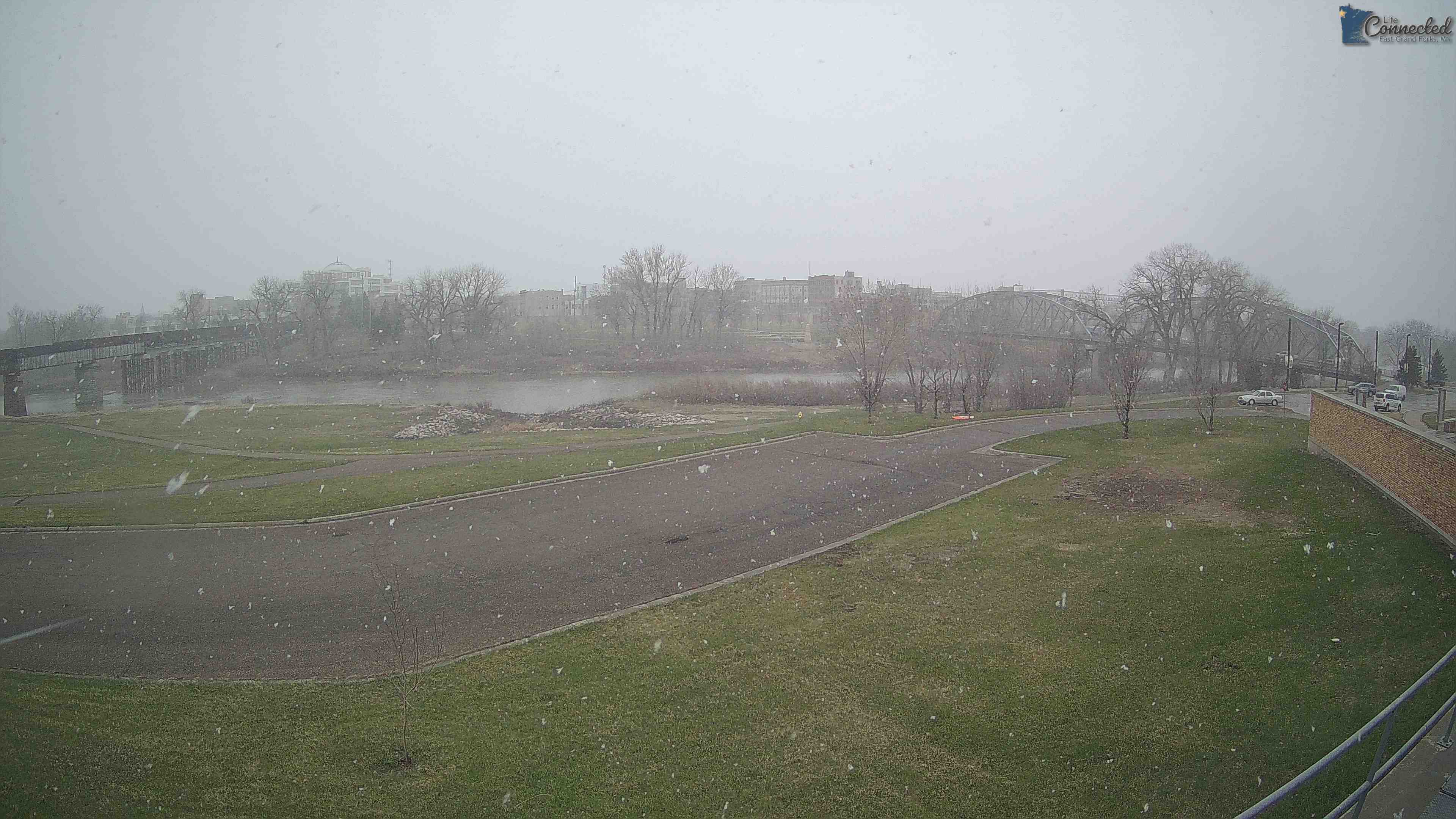
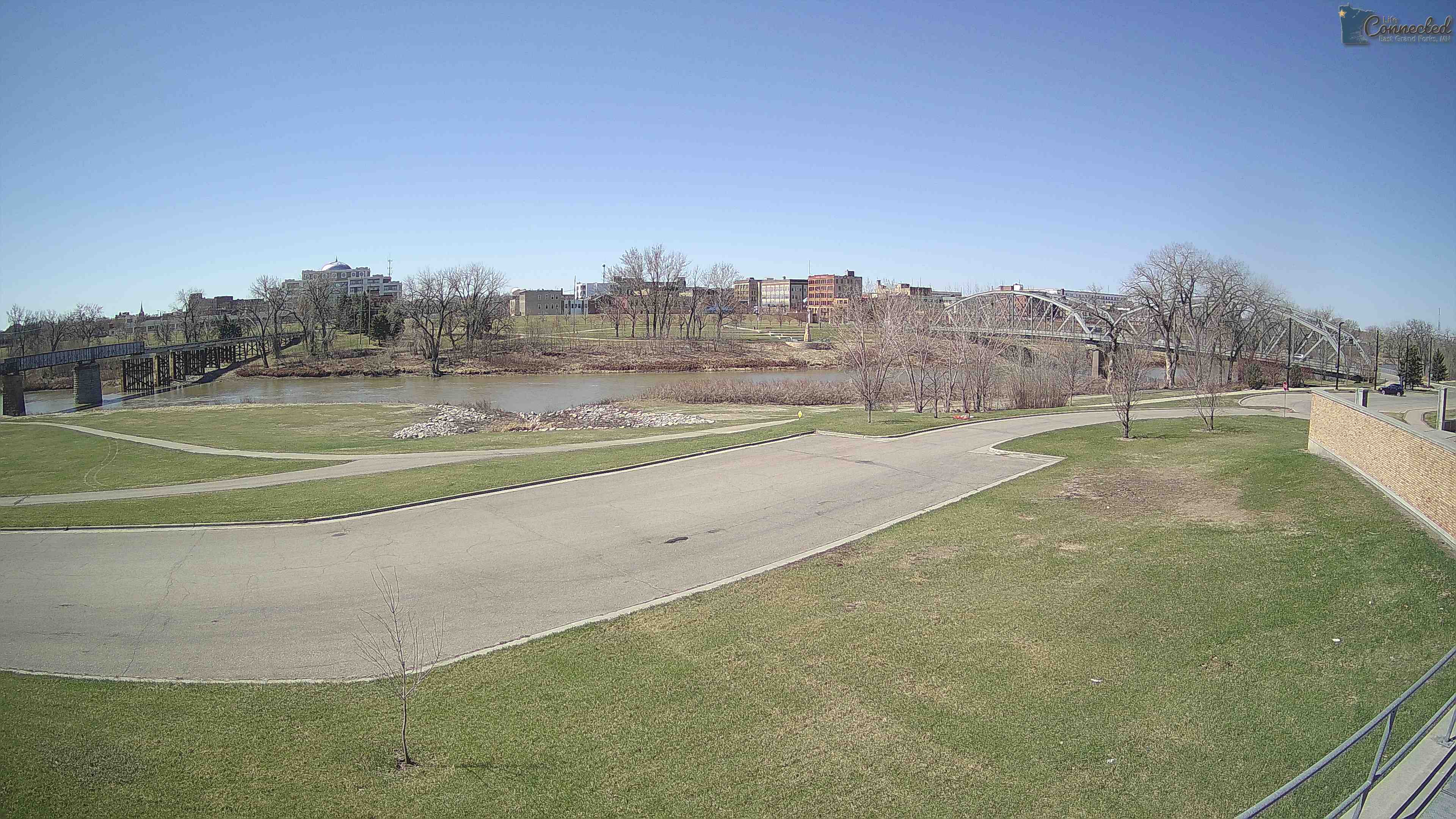
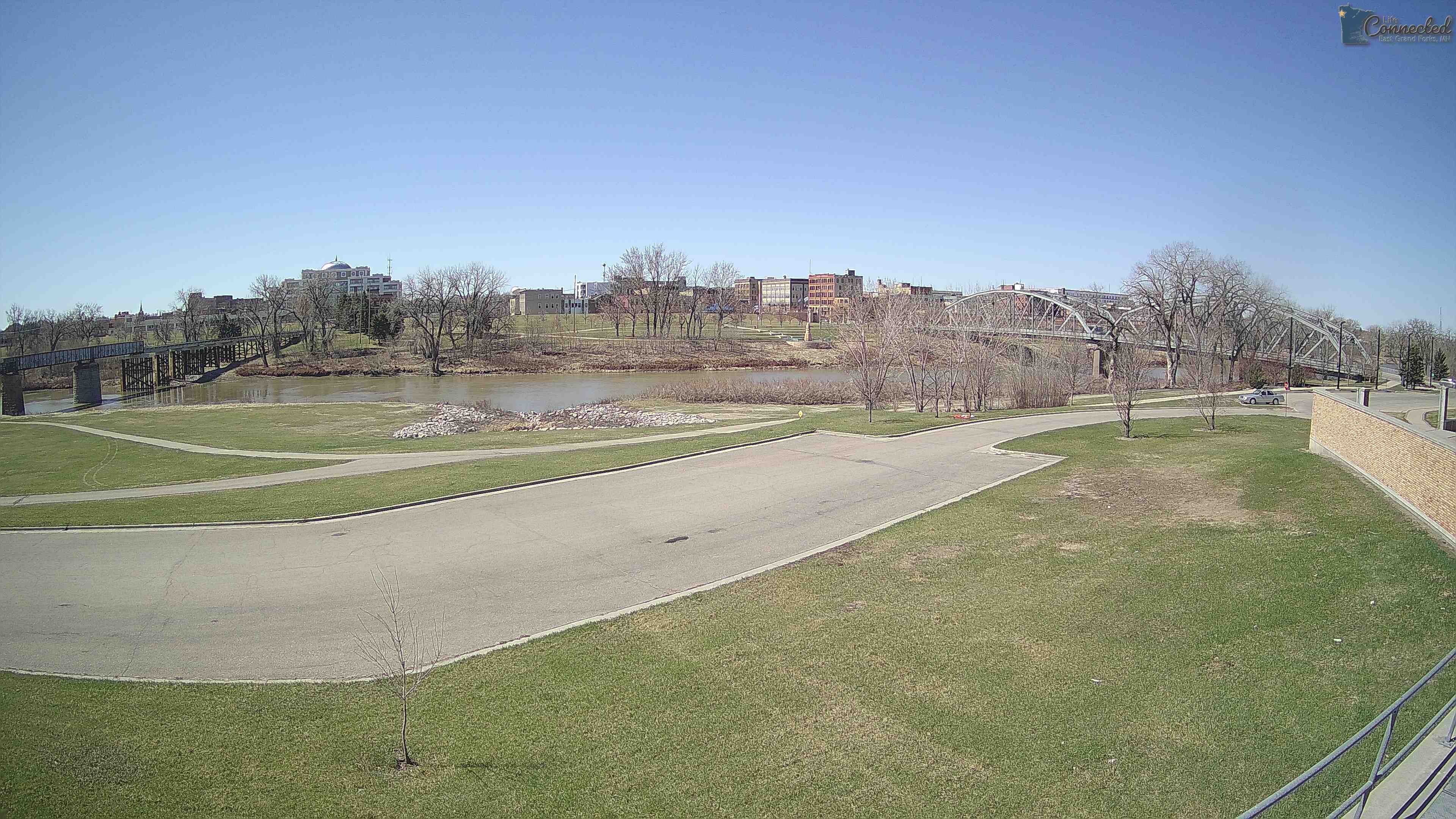
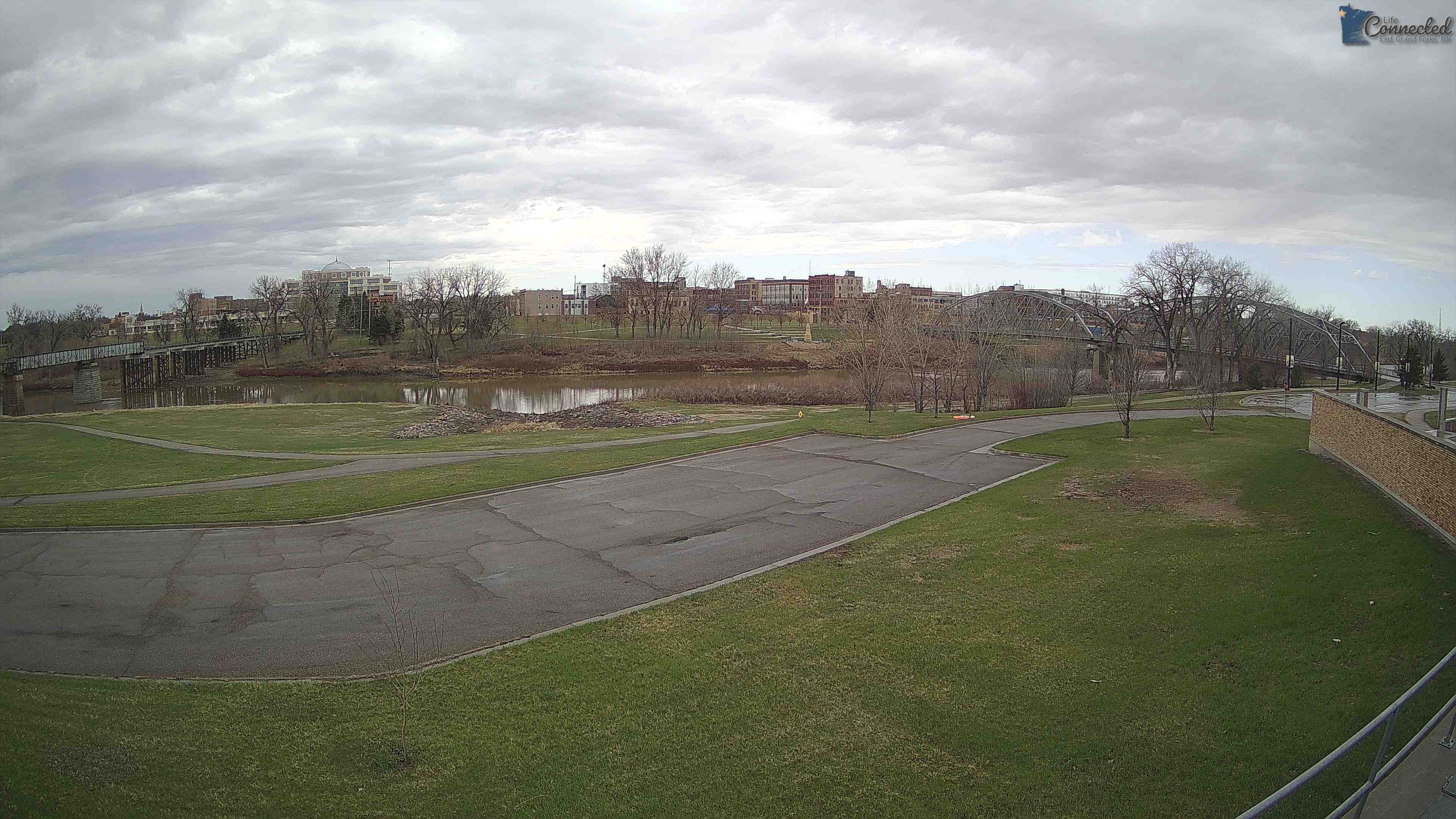
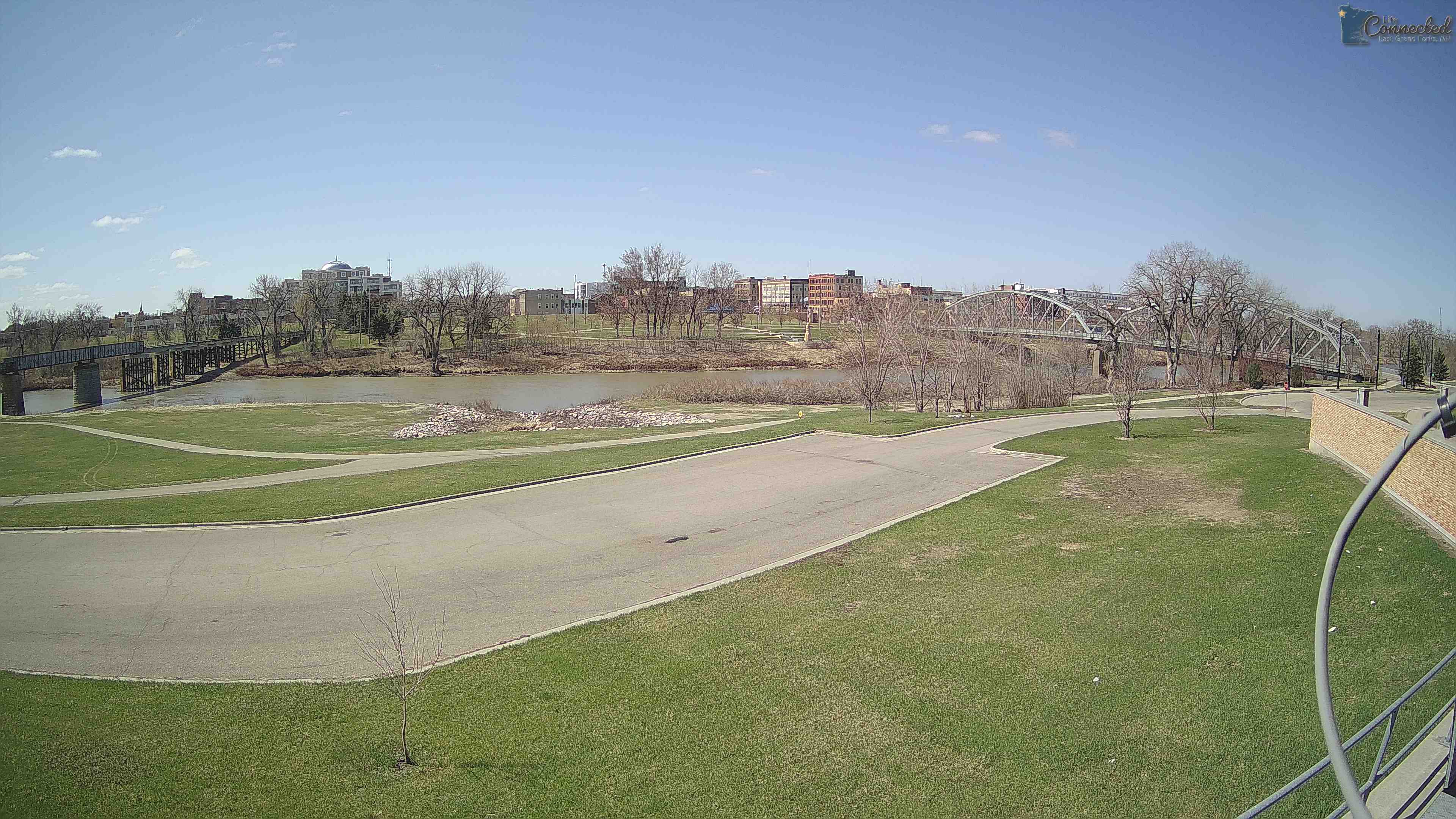
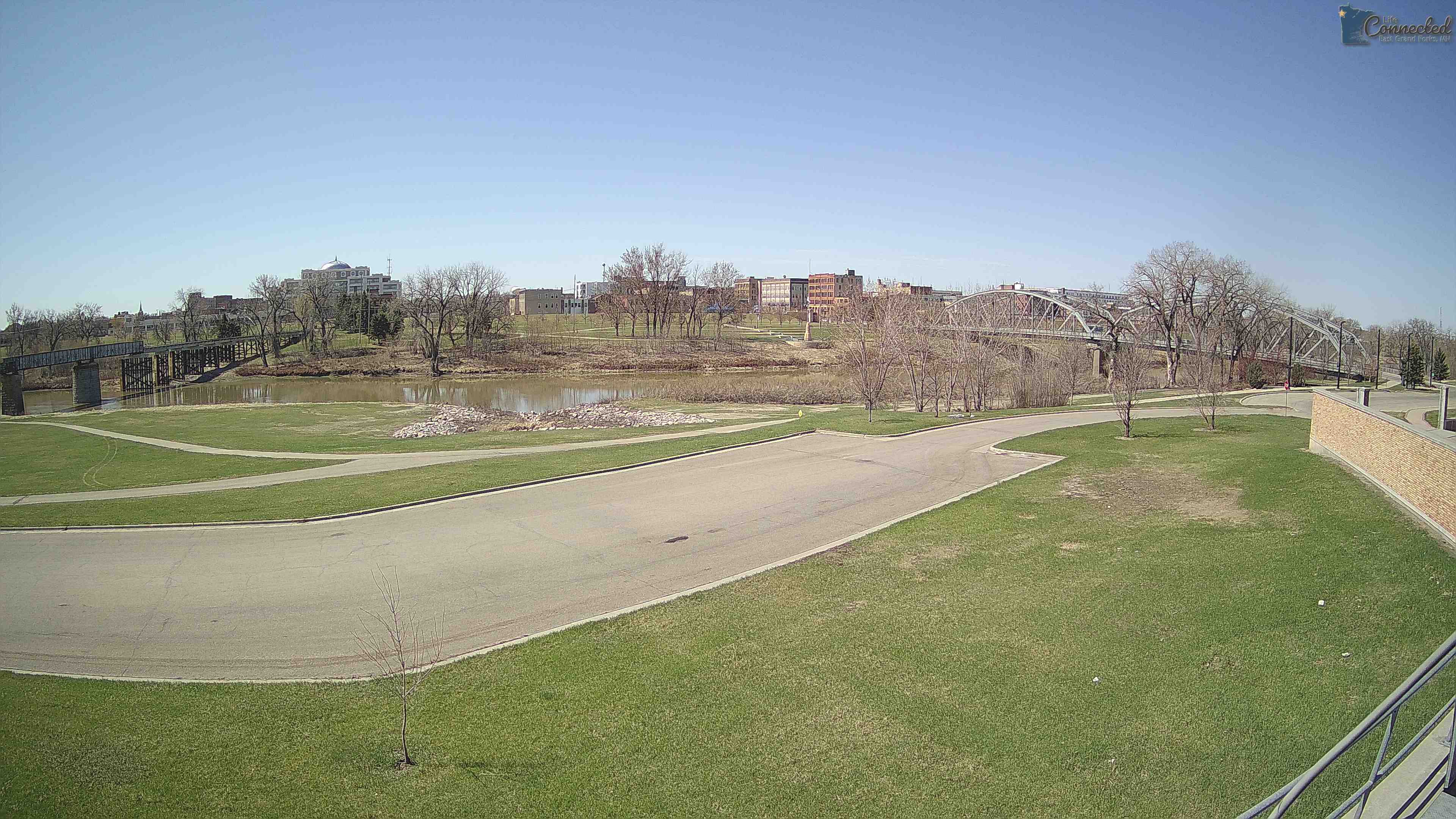
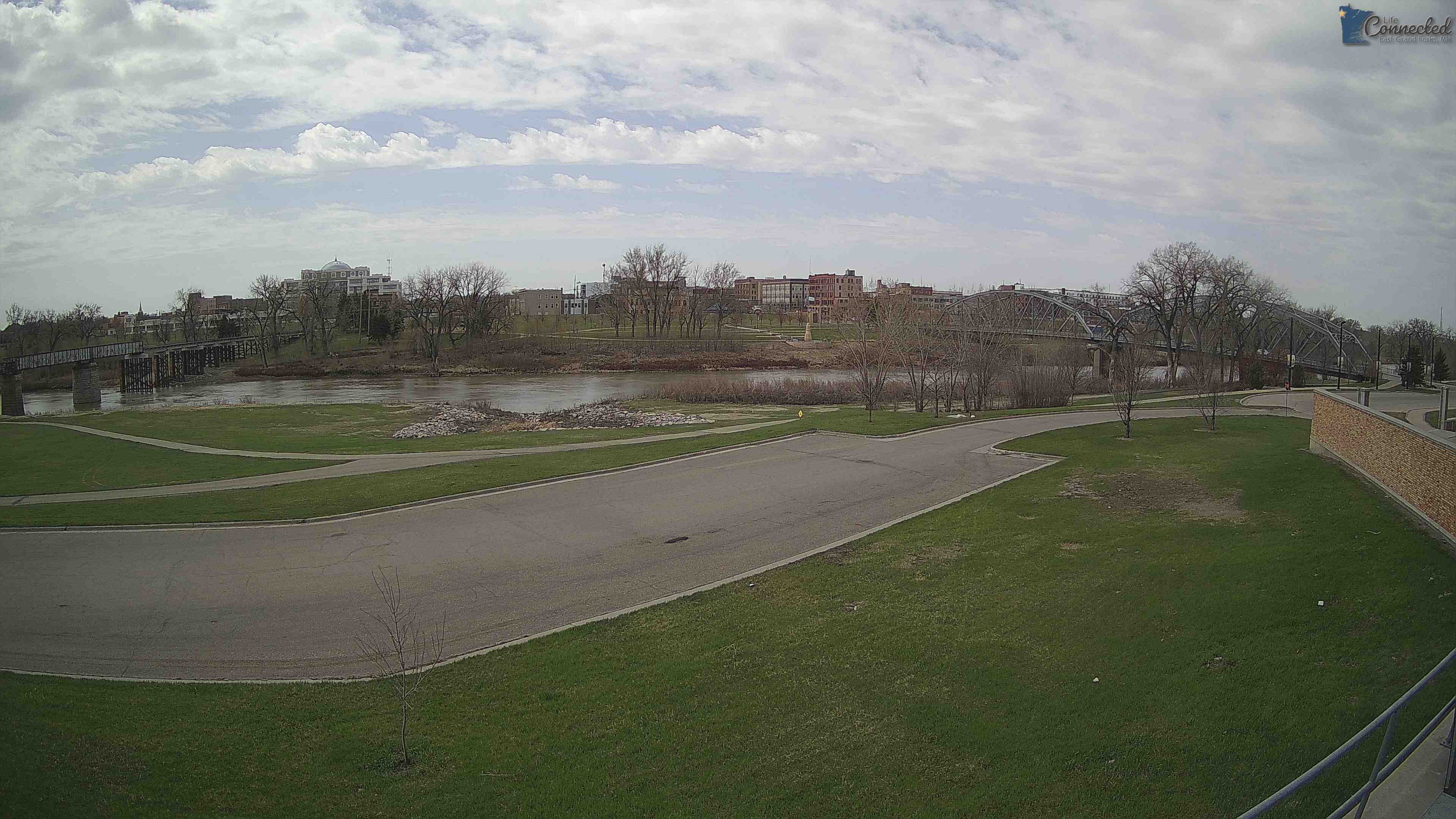
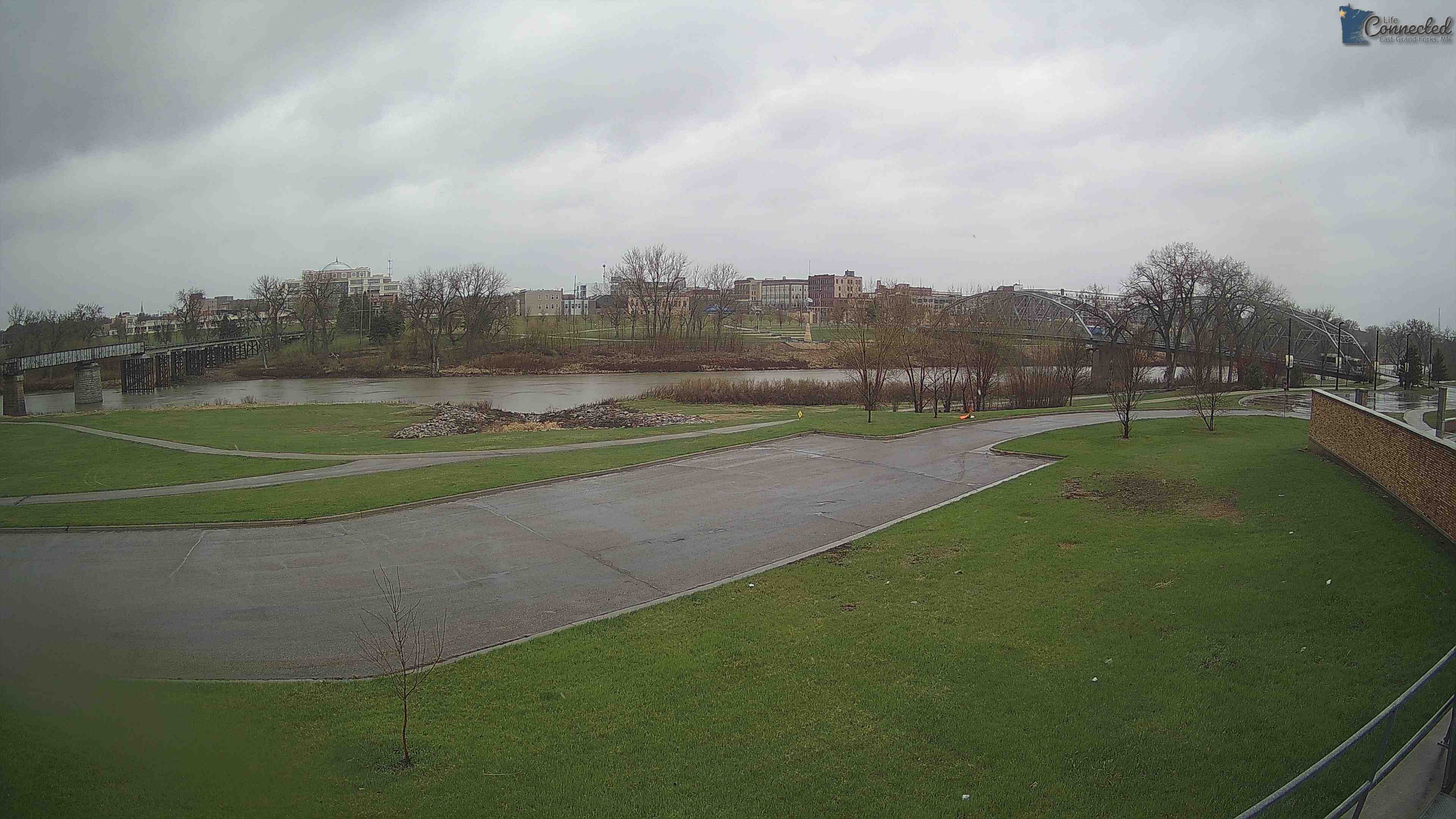
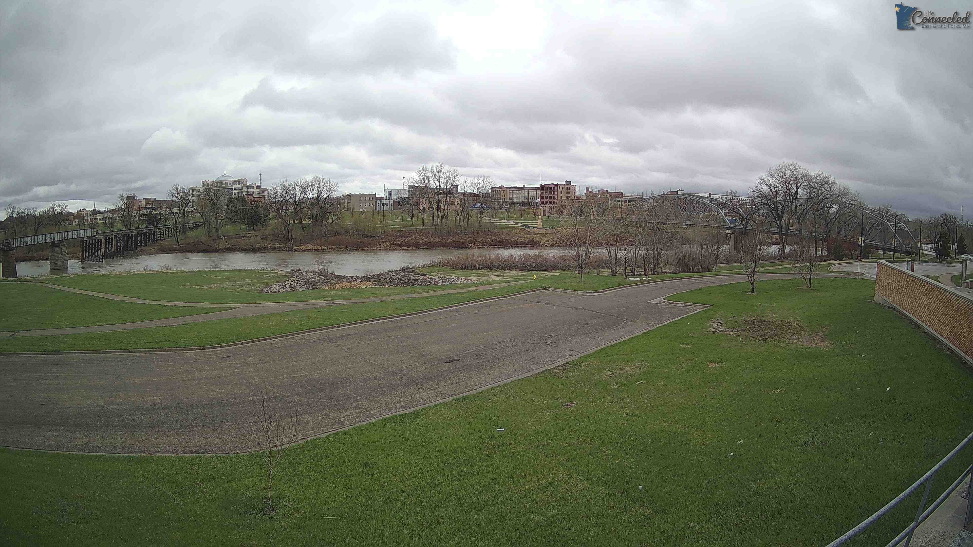
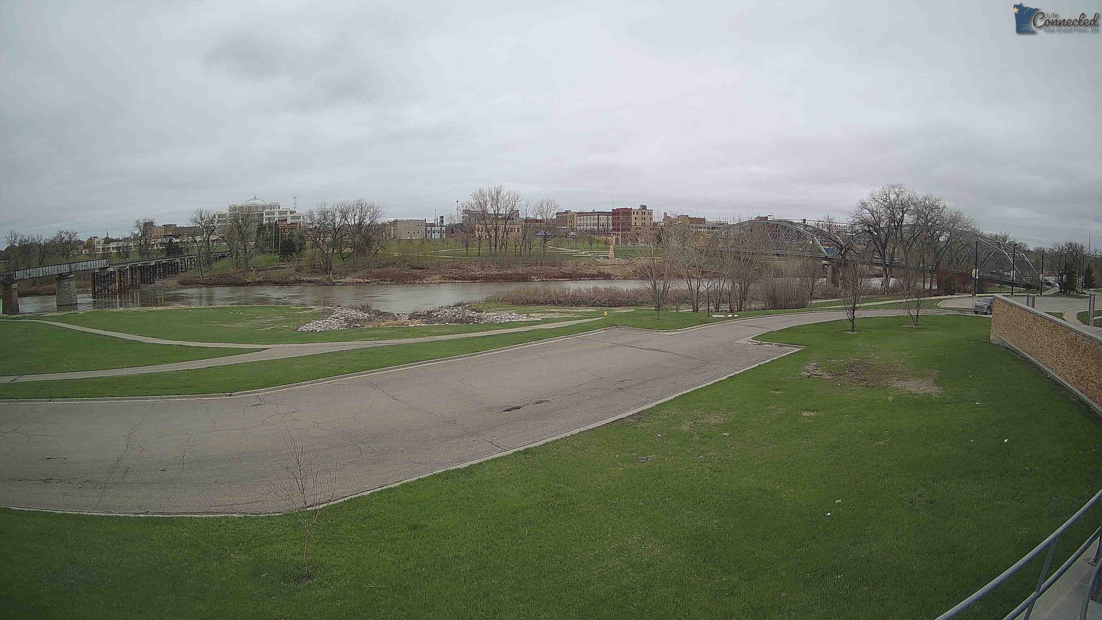
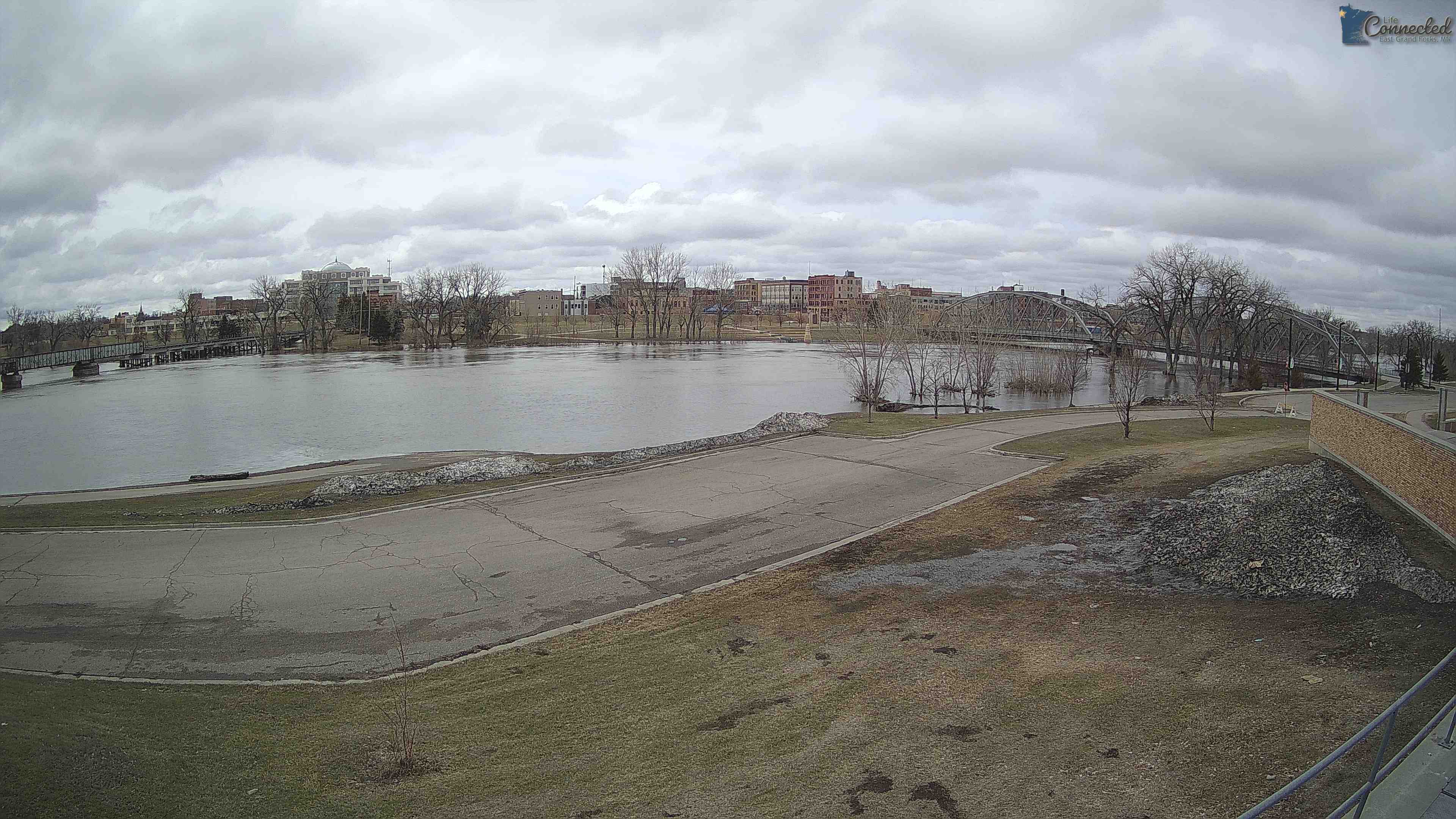
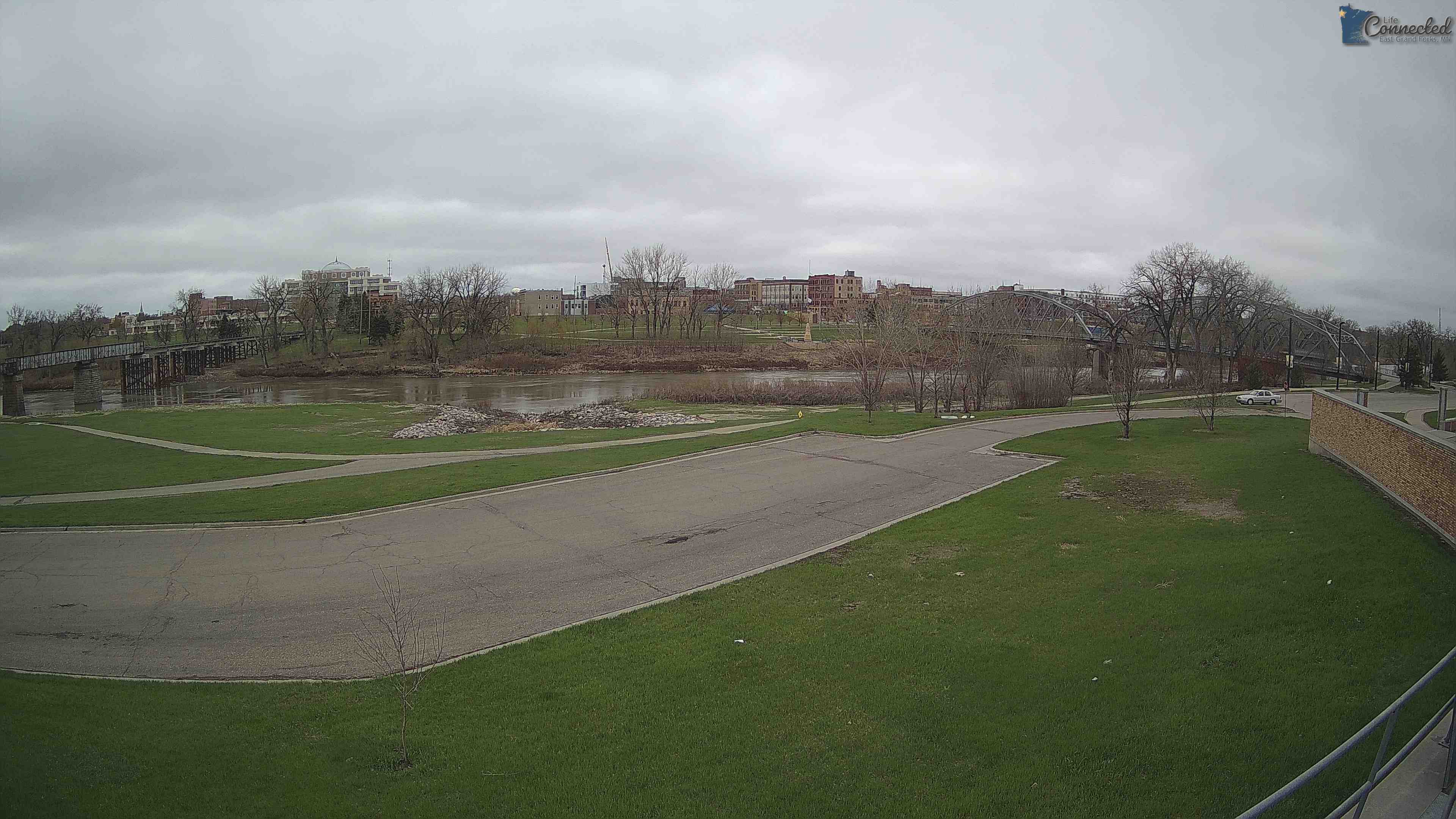
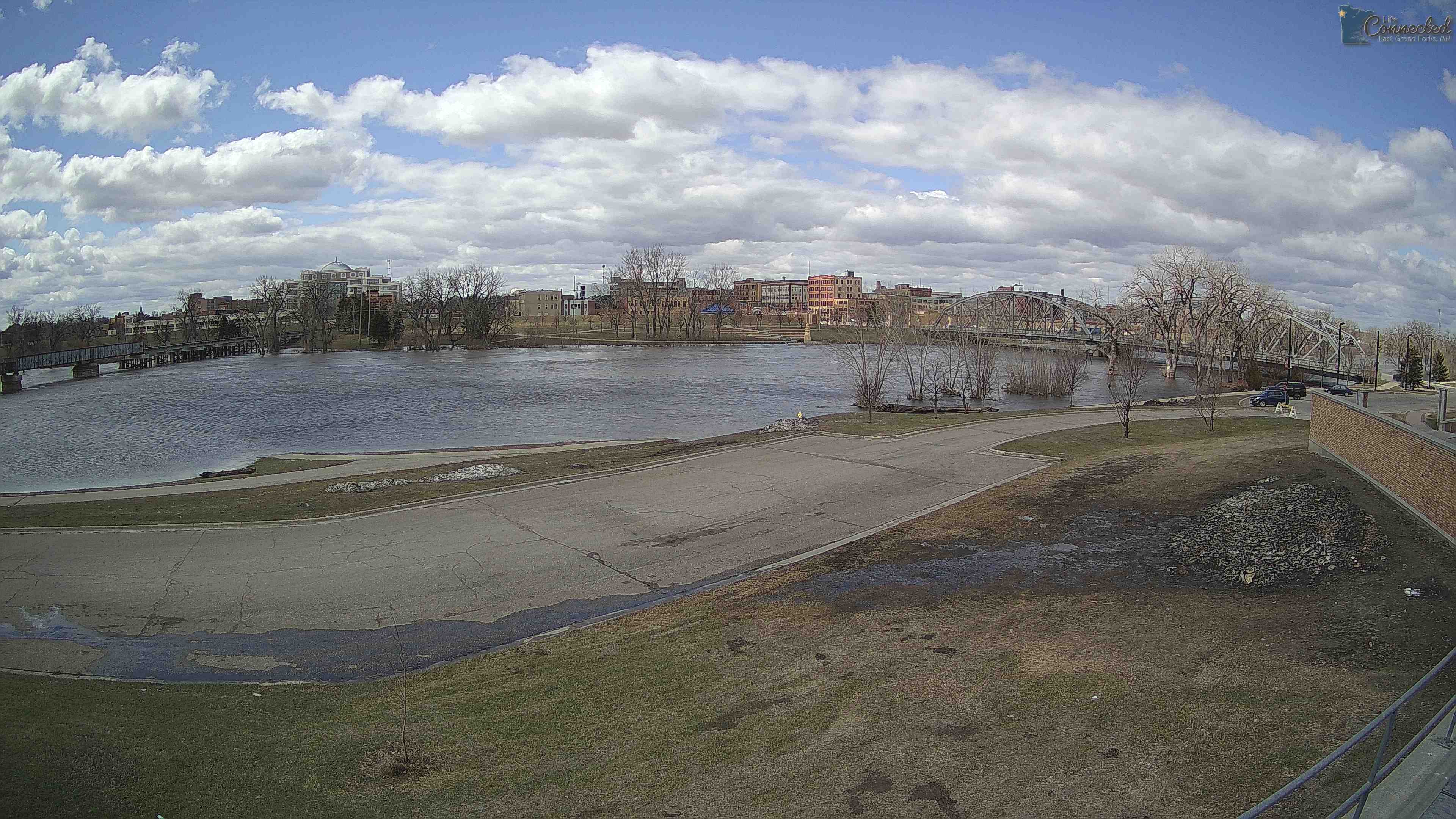
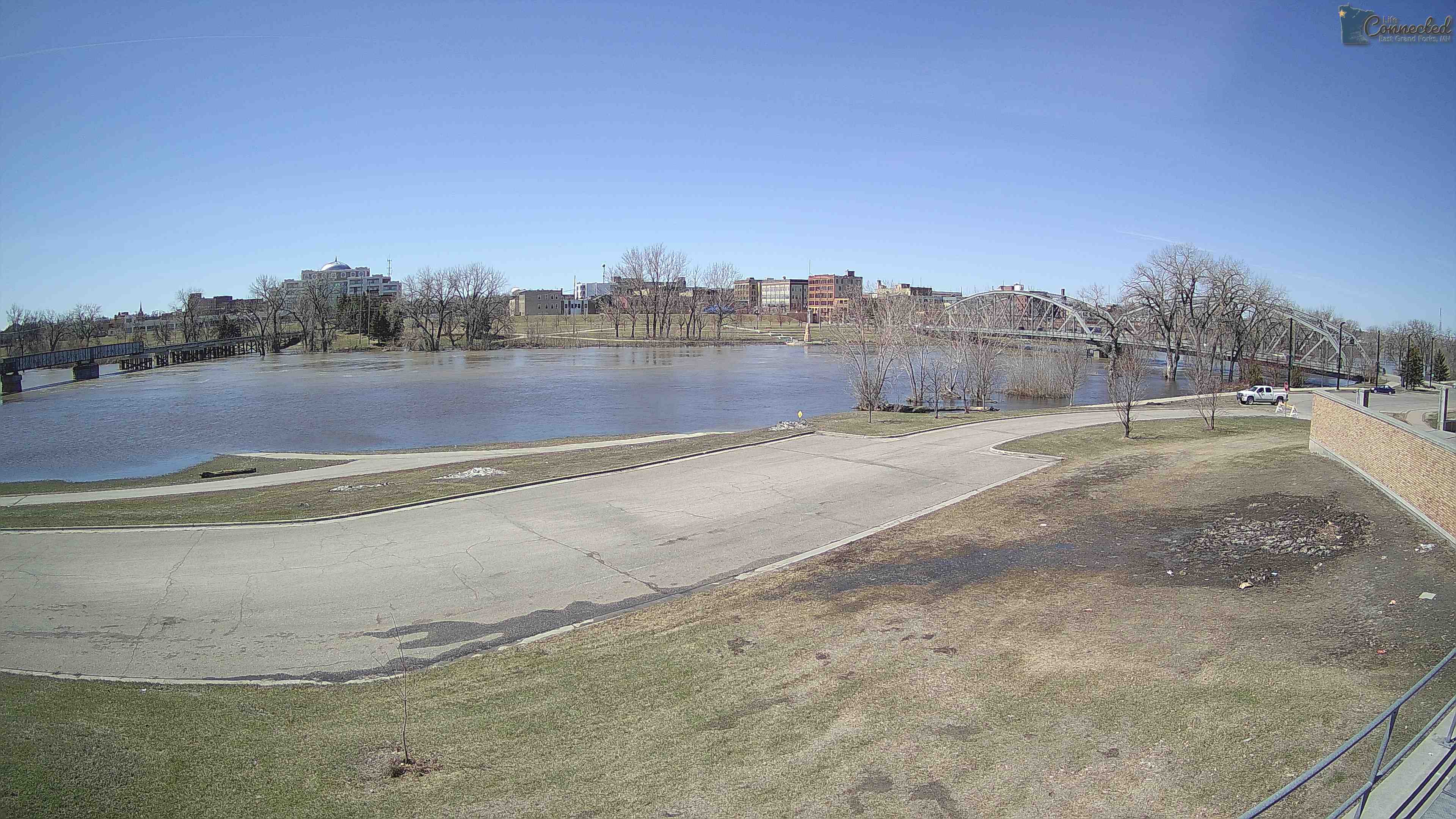
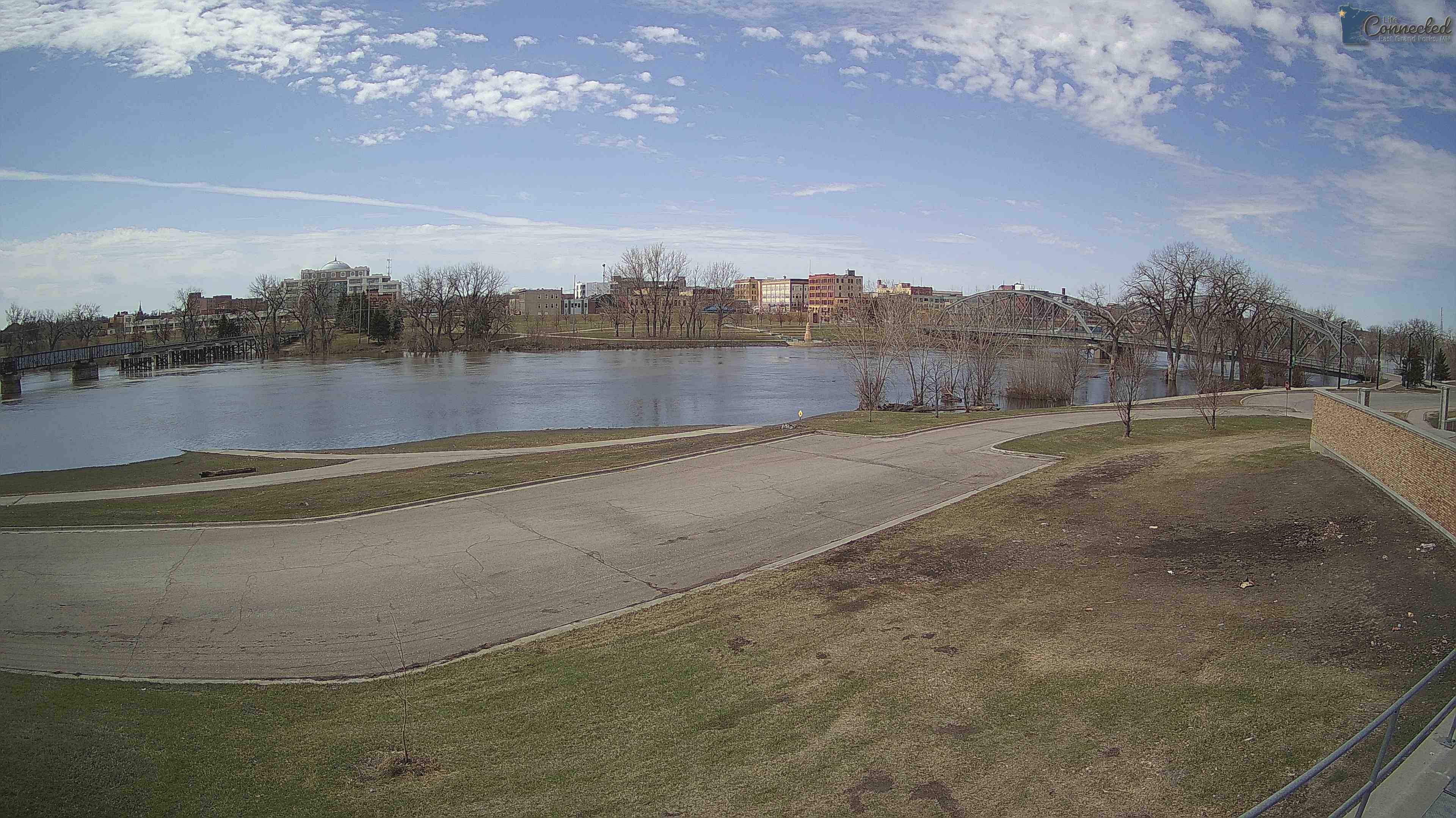
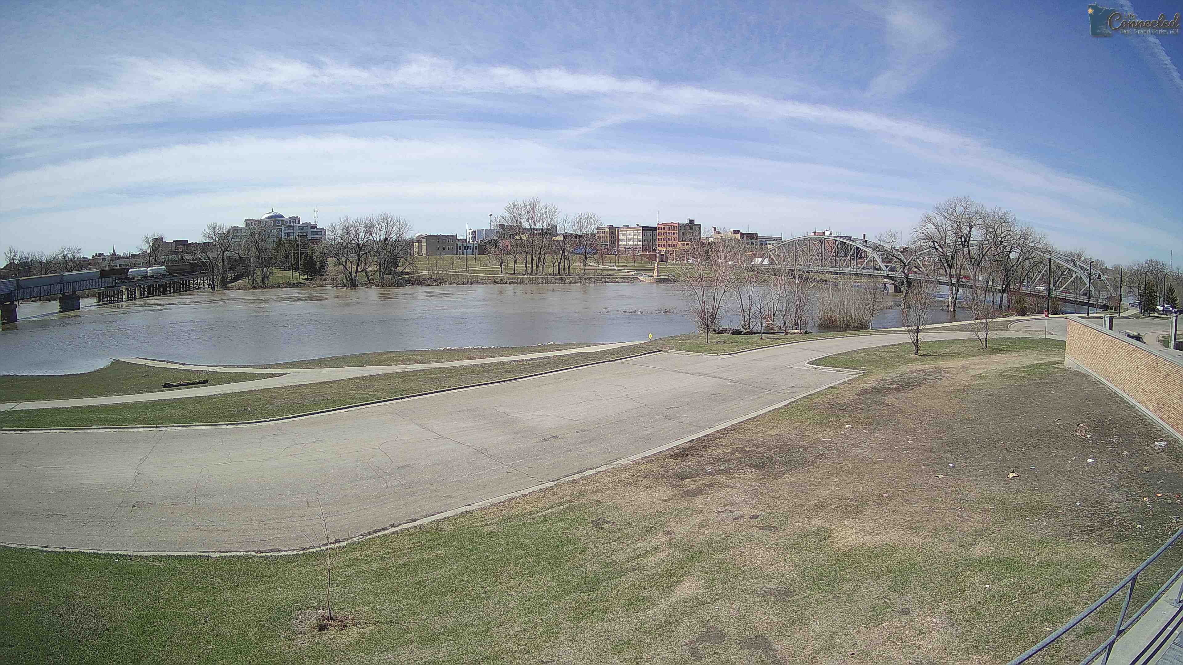
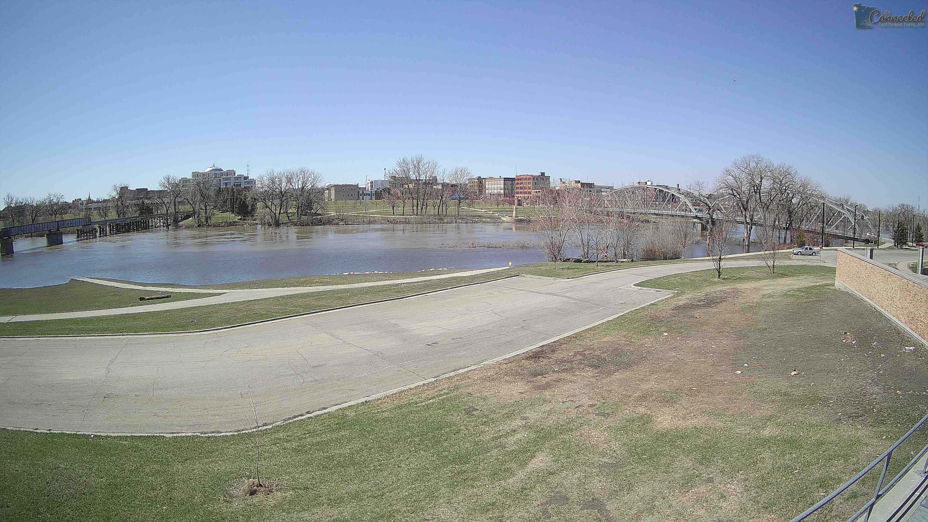
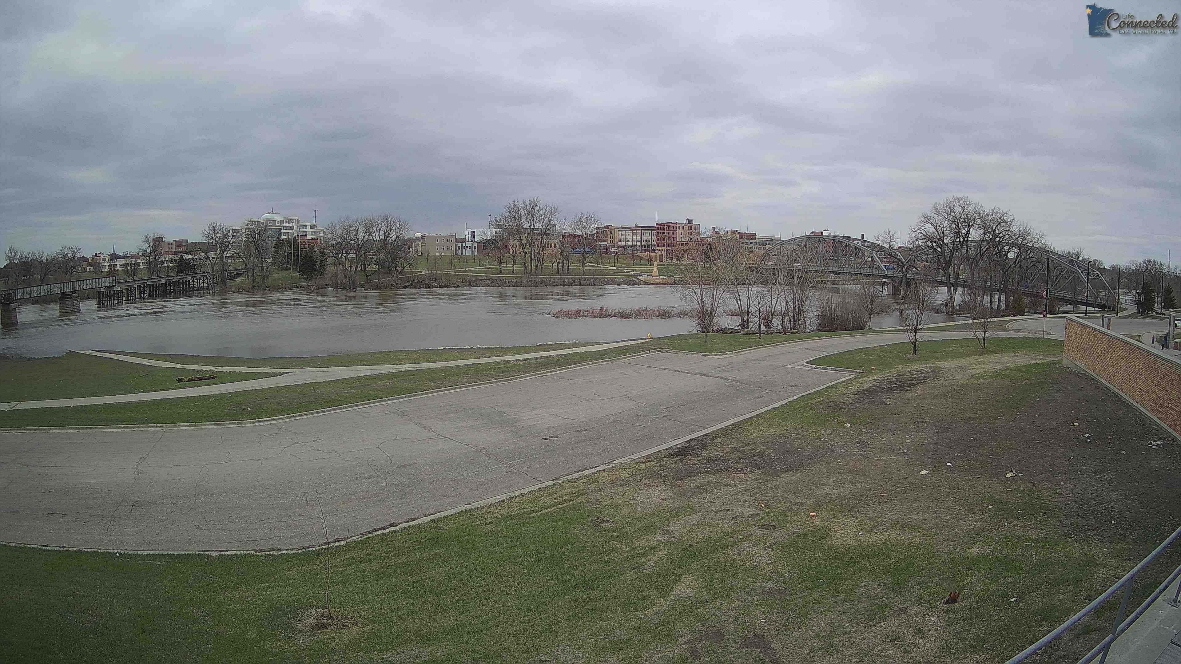
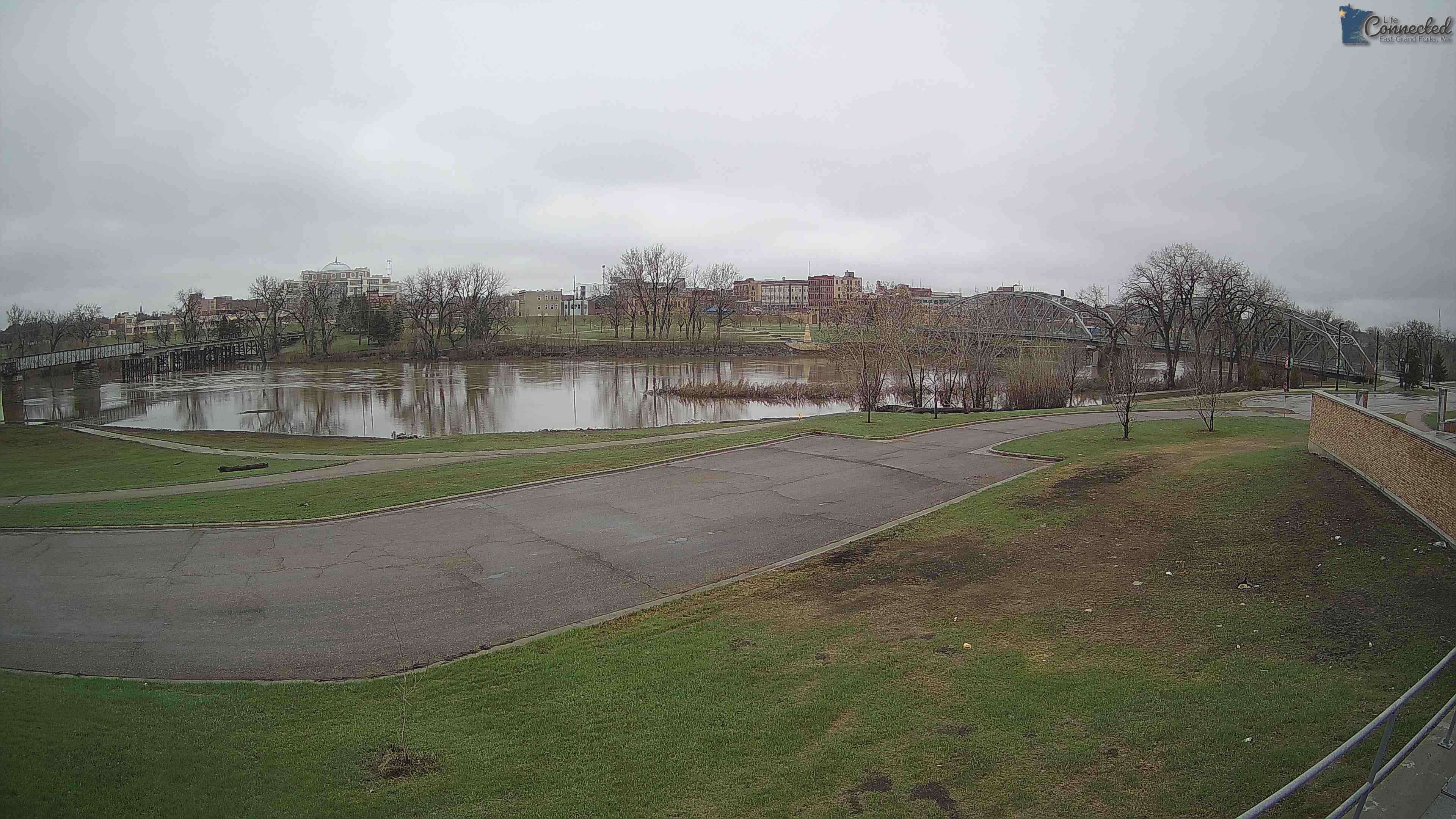
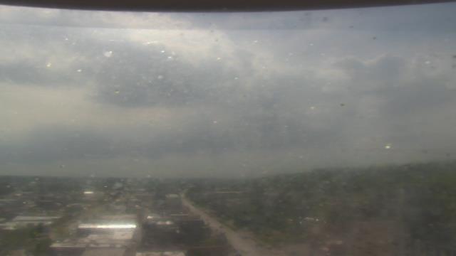
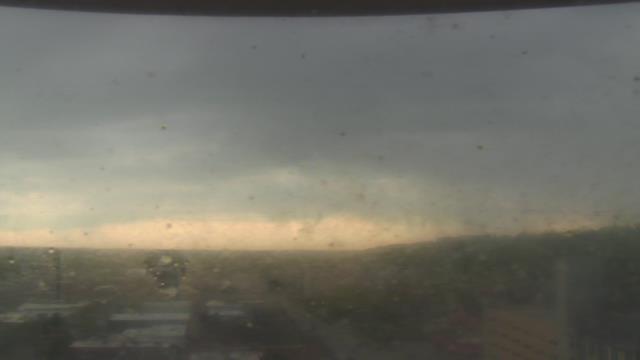
East Grand Forks, Minnesota, USA - 291.9 km da Summit: Sorlie Bridge - Il Sorlie Bridge sopra il Red River.
Operatore: City of East Grand Forks
Mer. 09:08
Mer. 10:08
Mer. 11:08
Mer. 12:08
Mer. 13:08
Mer. 14:08
Mer. 15:08
Mer. 16:08
Mer. 17:08
Mer. 18:08
Mer. 19:08
Mer. 20:08
Mer. 21:08
Mer. 22:08
Mer. 23:08
Gio. 00:08
Gio. 01:08
Gio. 02:08
Gio. 03:08
Gio. 04:08
Gio. 05:08
Gio. 06:08
Gio. 07:08
Gio. 08:08
Mar. 9.4.
Mer. 10.4.
Gio. 11.4.
Ven. 12.4.
Sab. 13.4.
Dom. 14.4.
Lun. 15.4.
Mar. 16.4.
Mer. 17.4.
Gio. 18.4.
Ven. 19.4.
Sab. 20.4.
Dom. 21.4.
Lun. 22.4.
Mar. 23.4.
Mer. 24.4.
Gio. 25.4.
Ven. 26.4.
Sab. 27.4.
Dom. 28.4.
Lun. 29.4.
Mar. 30.4.
Mer. 1.5.
Gio. 2.5.
Ven. 3.5.
Sab. 4.5.
Dom. 5.5.
Lun. 6.5.
Mar. 7.5.
Mer. 8.5.
Operatore: City of East Grand Forks
Mer. 09:08
Mer. 10:08
Mer. 11:08
Mer. 12:08
Mer. 13:08
Mer. 14:08
Mer. 15:08
Mer. 16:08
Mer. 17:08
Mer. 18:08
Mer. 19:08
Mer. 20:08
Mer. 21:08
Mer. 22:08
Mer. 23:08
Gio. 00:08
Gio. 01:08
Gio. 02:08
Gio. 03:08
Gio. 04:08
Gio. 05:08
Gio. 06:08
Gio. 07:08
Gio. 08:08
Mar. 9.4.
Mer. 10.4.

Gio. 11.4.
Ven. 12.4.
Sab. 13.4.
Dom. 14.4.
Lun. 15.4.
Mar. 16.4.
Mer. 17.4.
Gio. 18.4.
Ven. 19.4.
Sab. 20.4.
Dom. 21.4.
Lun. 22.4.
Mar. 23.4.
Mer. 24.4.
Gio. 25.4.
Ven. 26.4.
Sab. 27.4.
Dom. 28.4.
Lun. 29.4.
Mar. 30.4.
Mer. 1.5.
Gio. 2.5.
Ven. 3.5.
Sab. 4.5.
Dom. 5.5.
Lun. 6.5.

Mar. 7.5.
Mer. 8.5.

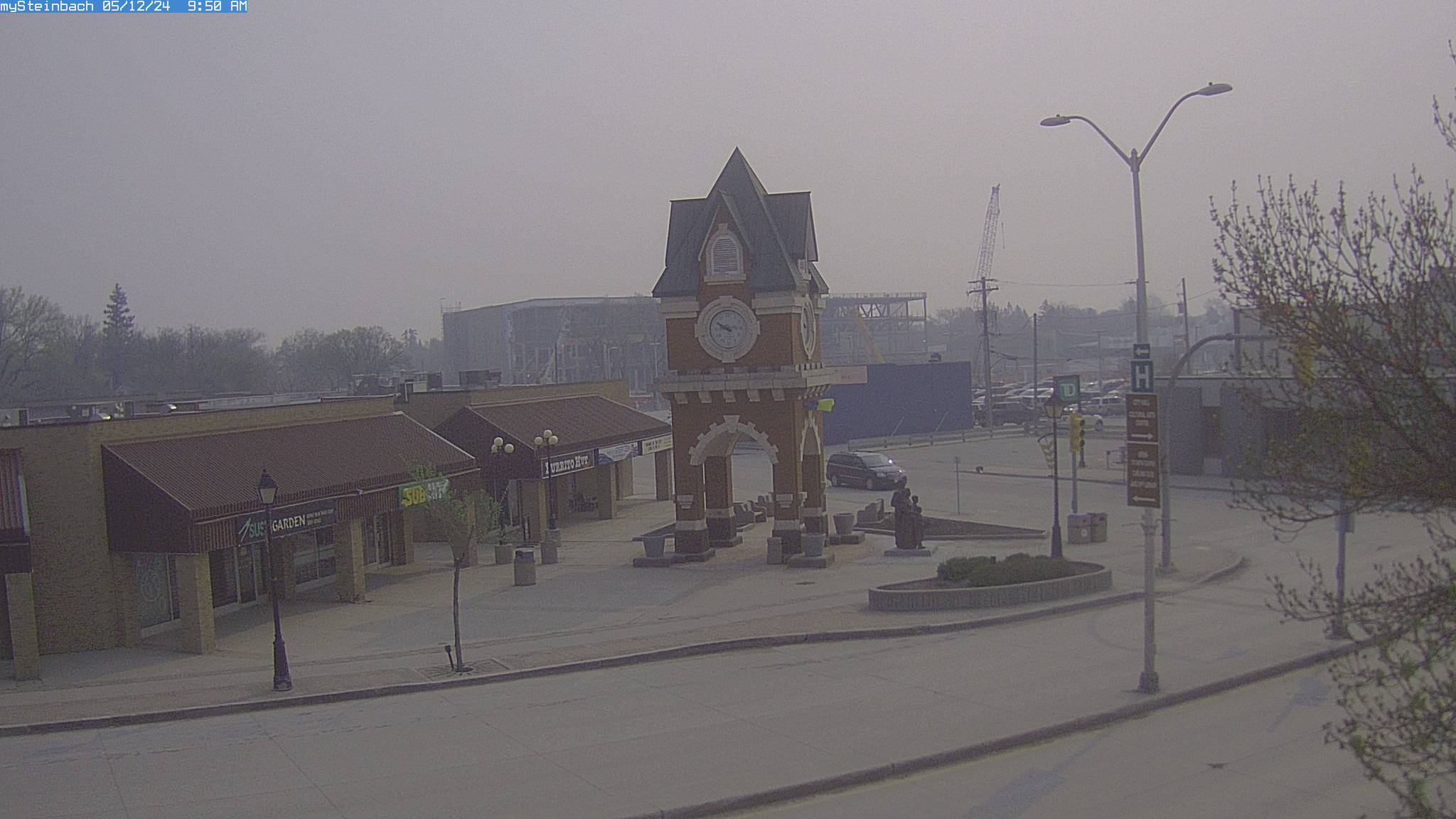
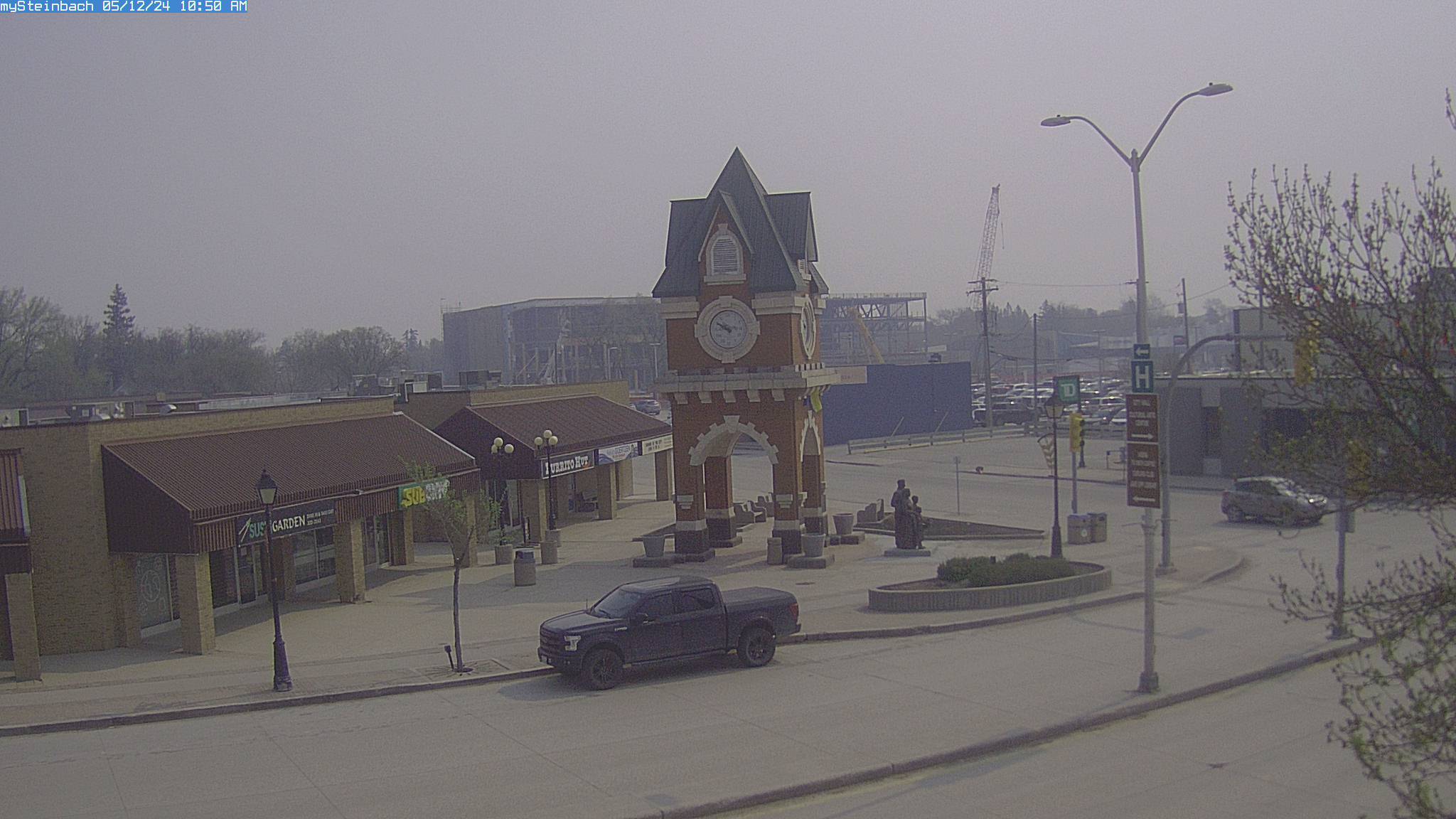
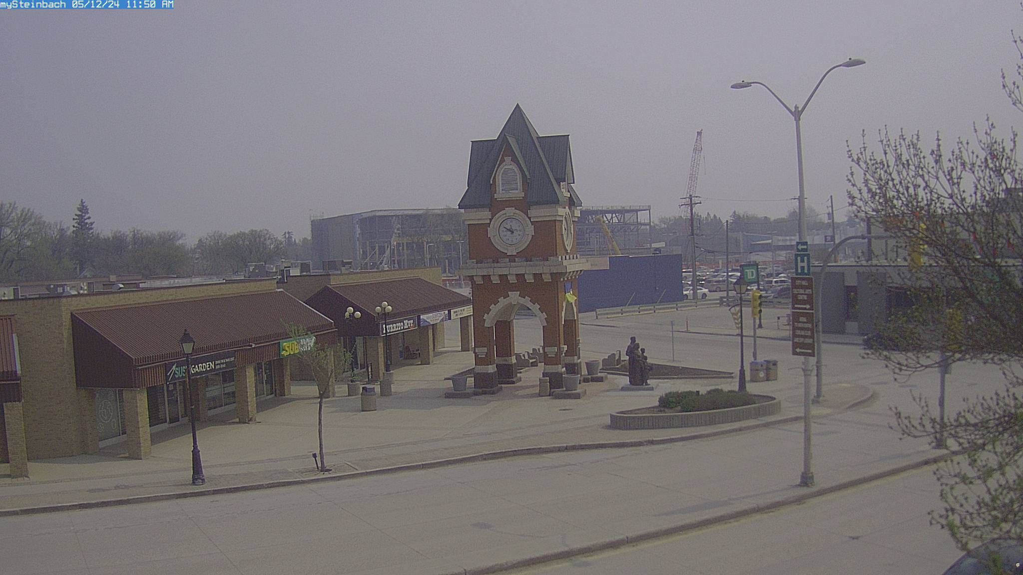
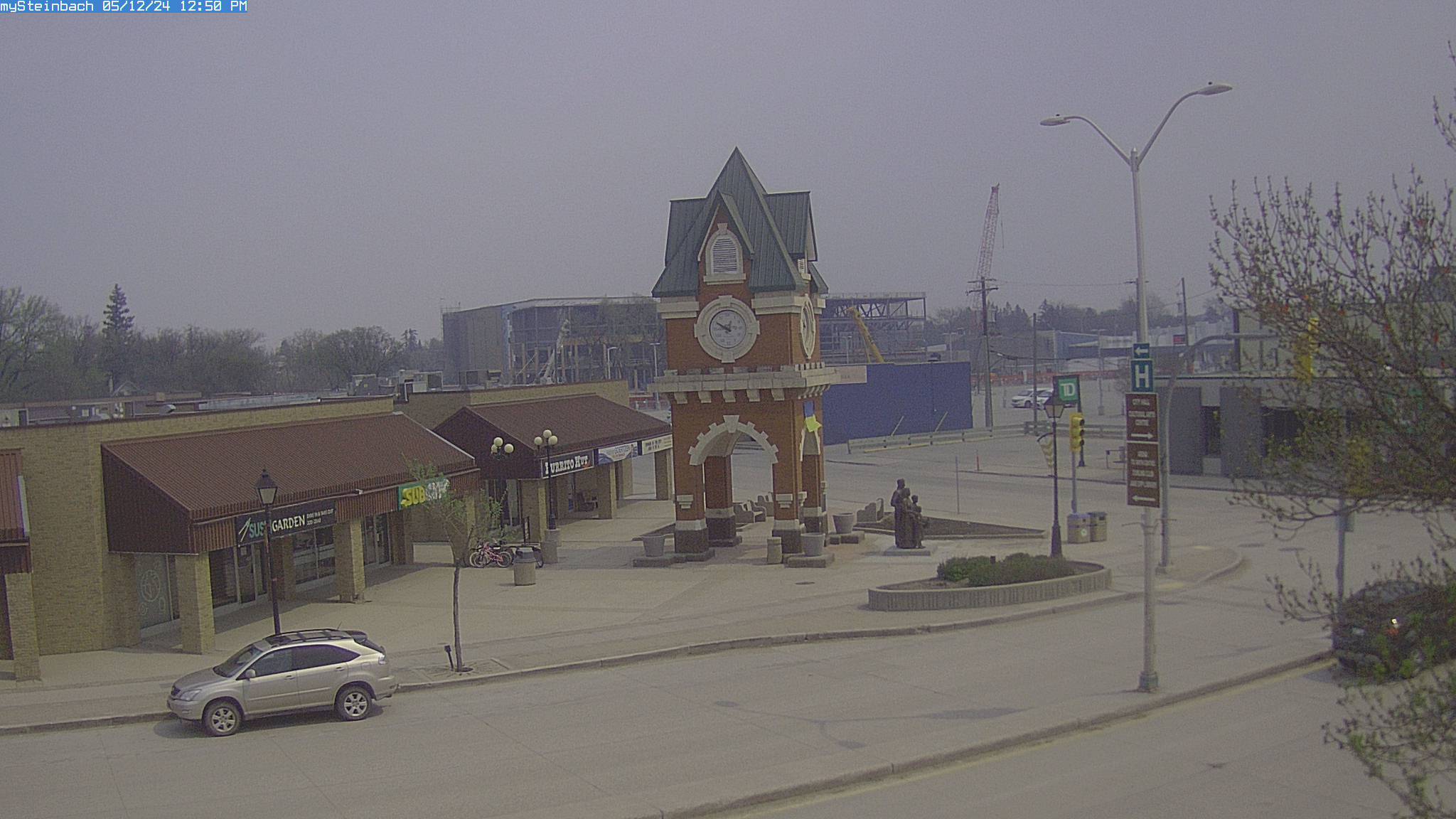
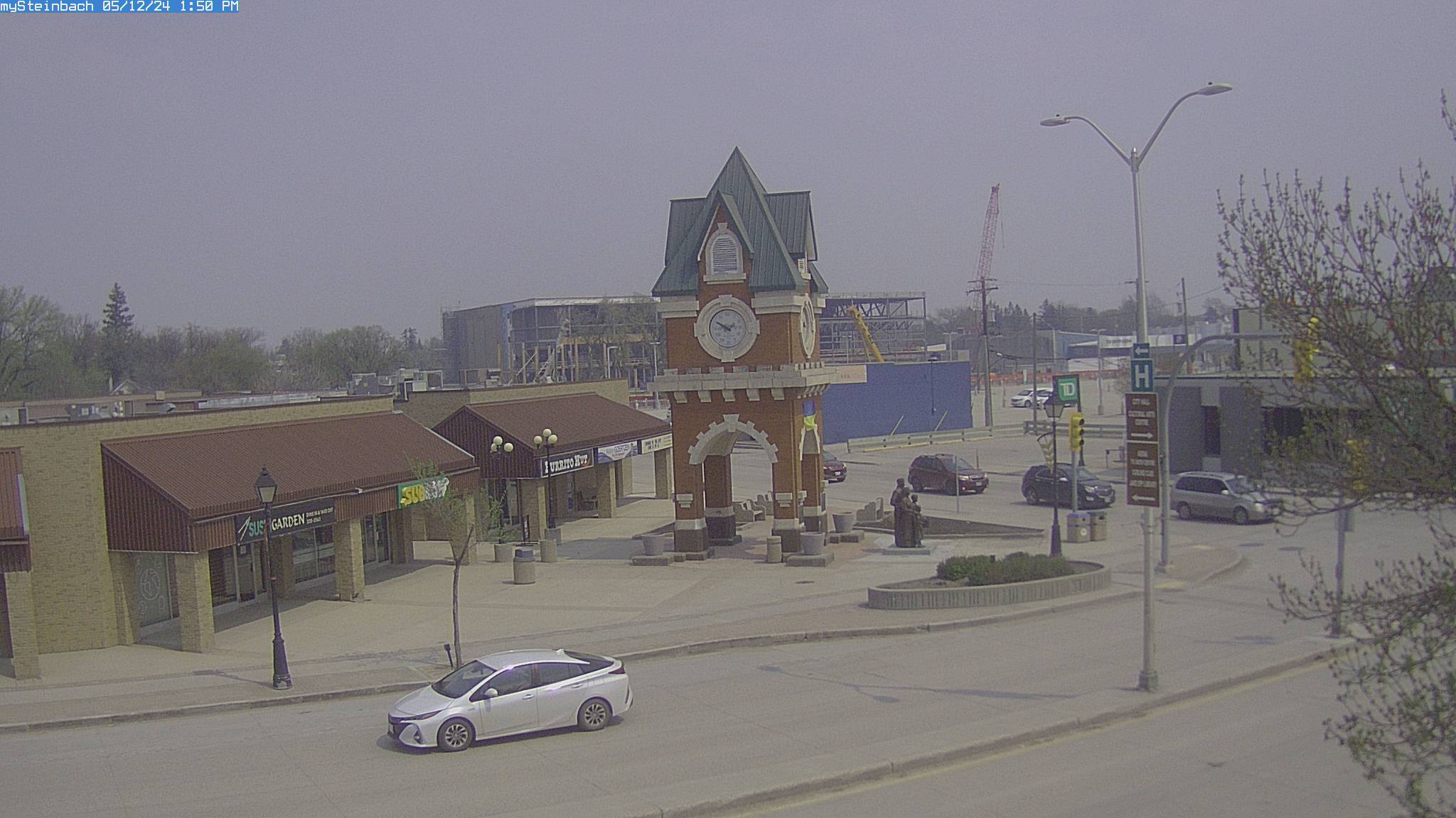
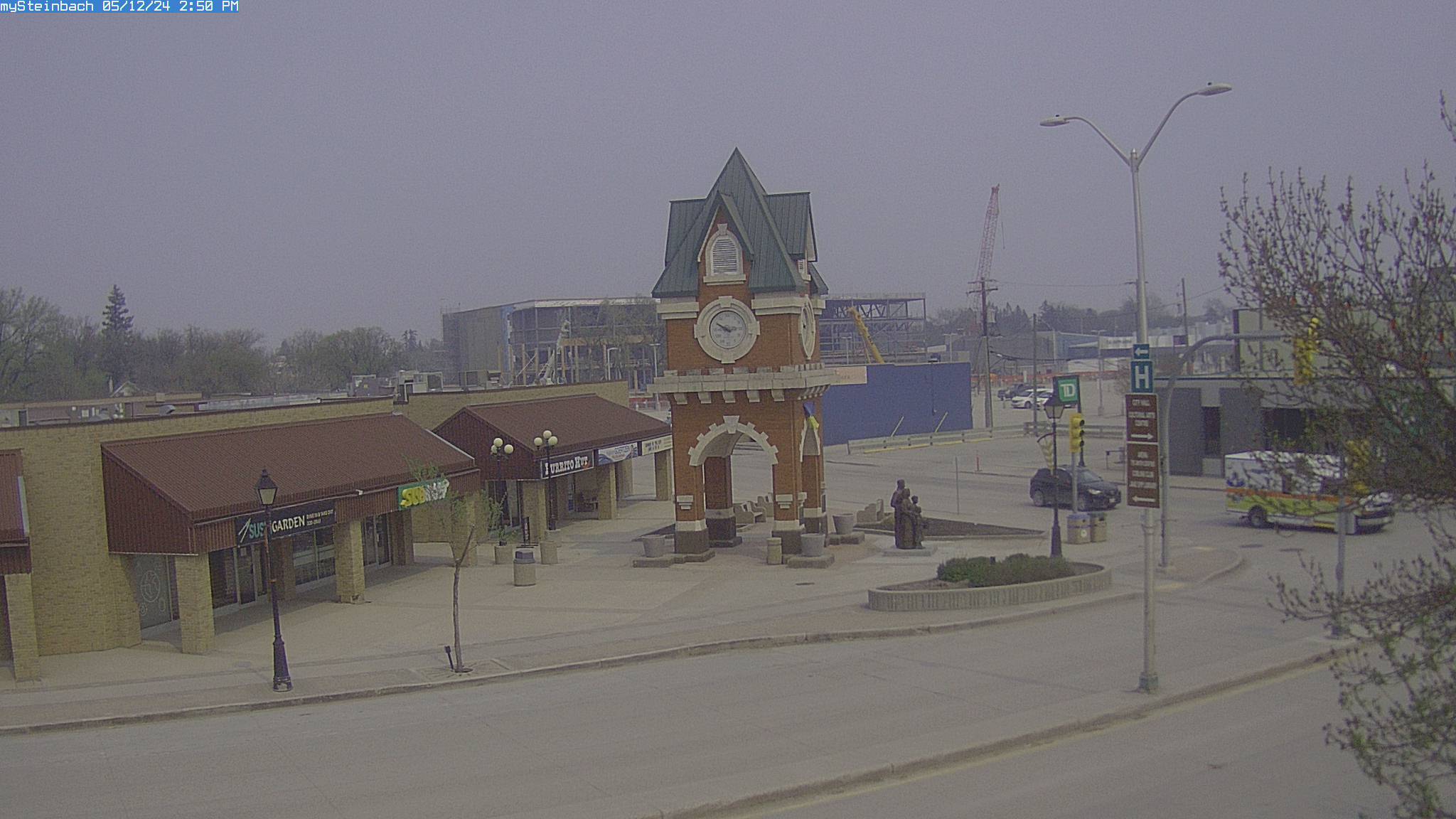
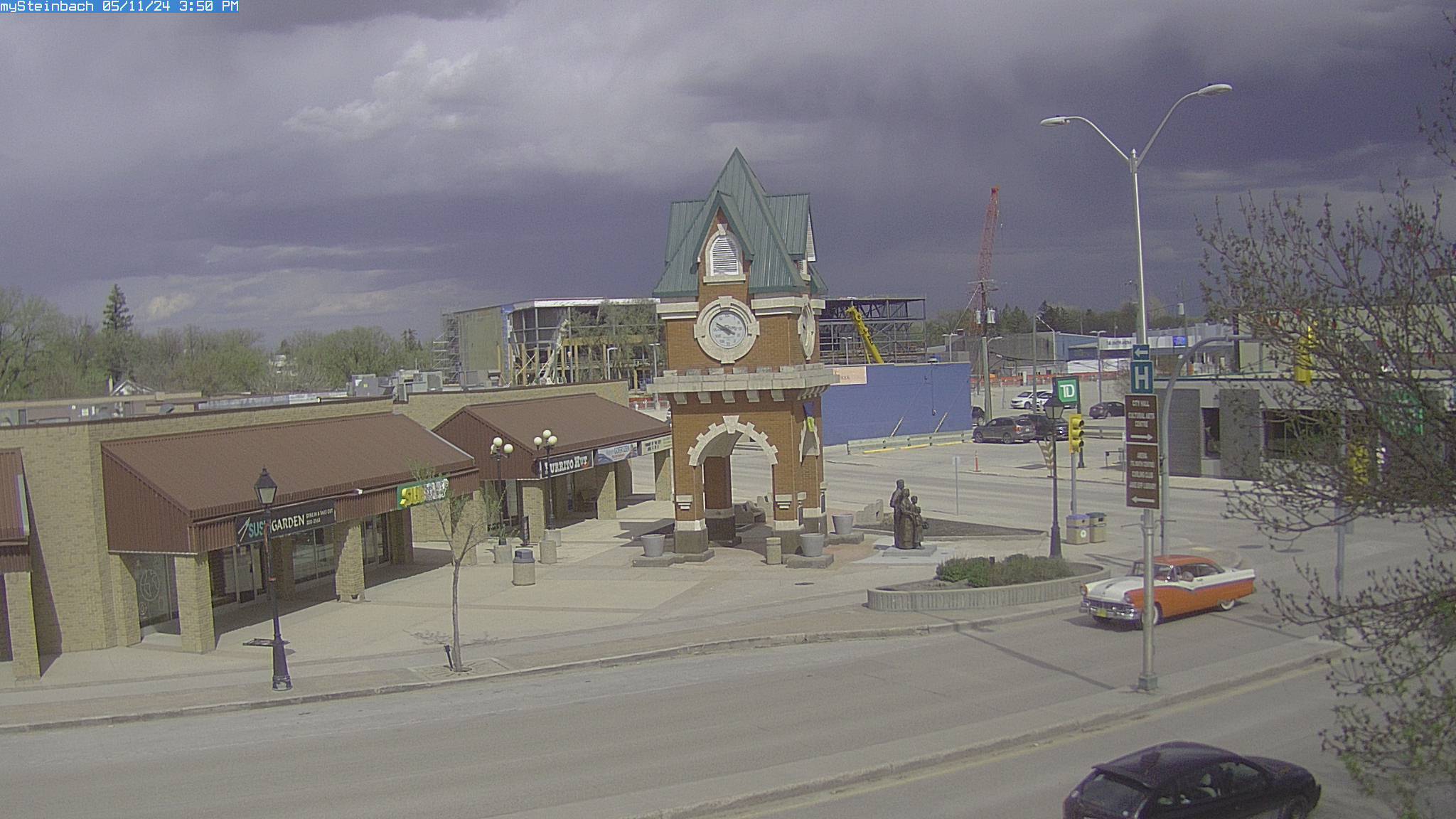
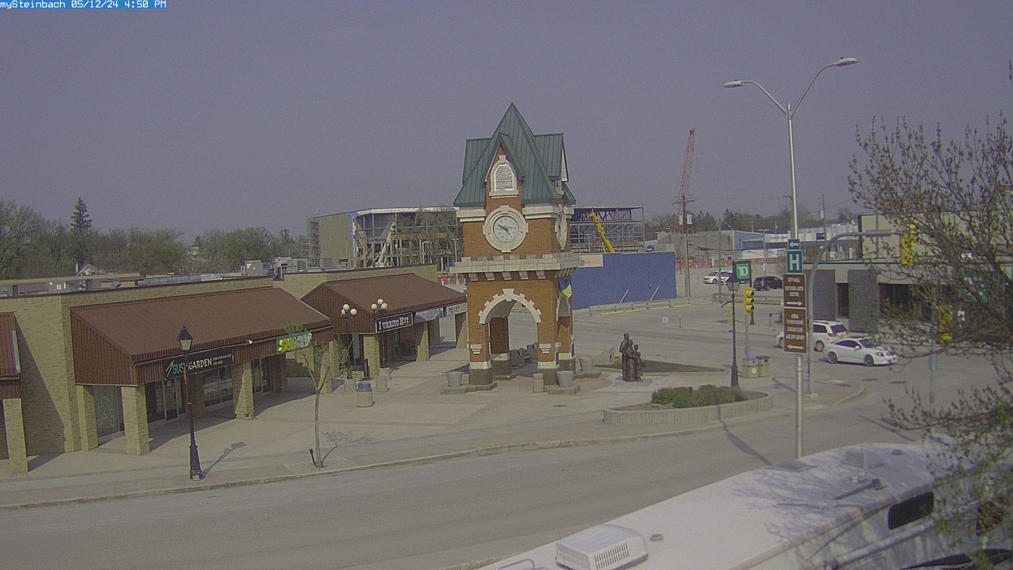
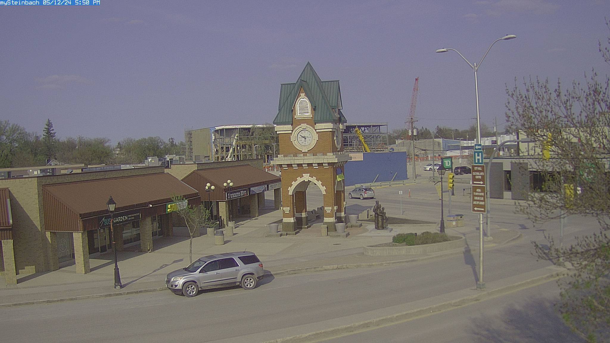
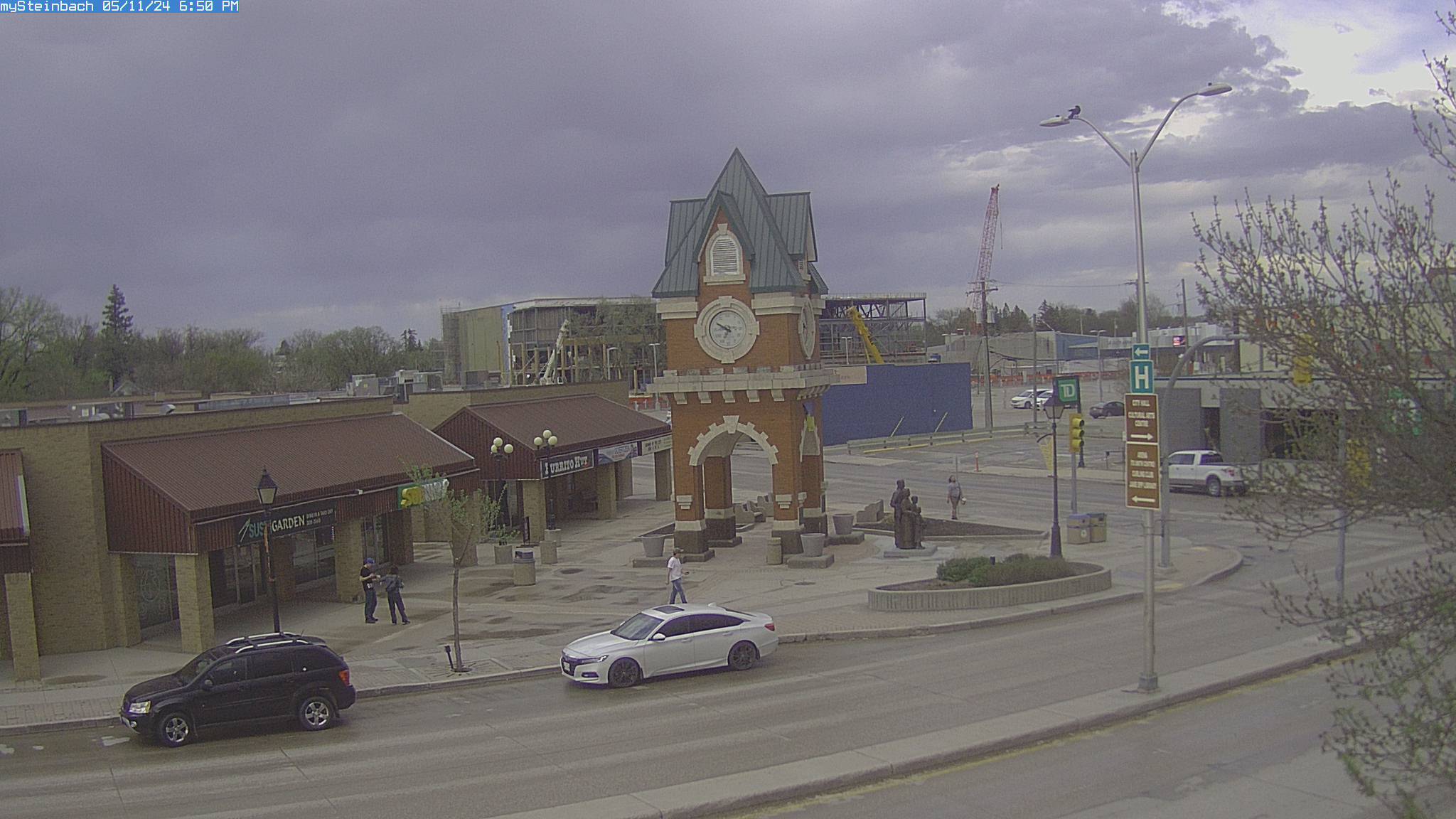
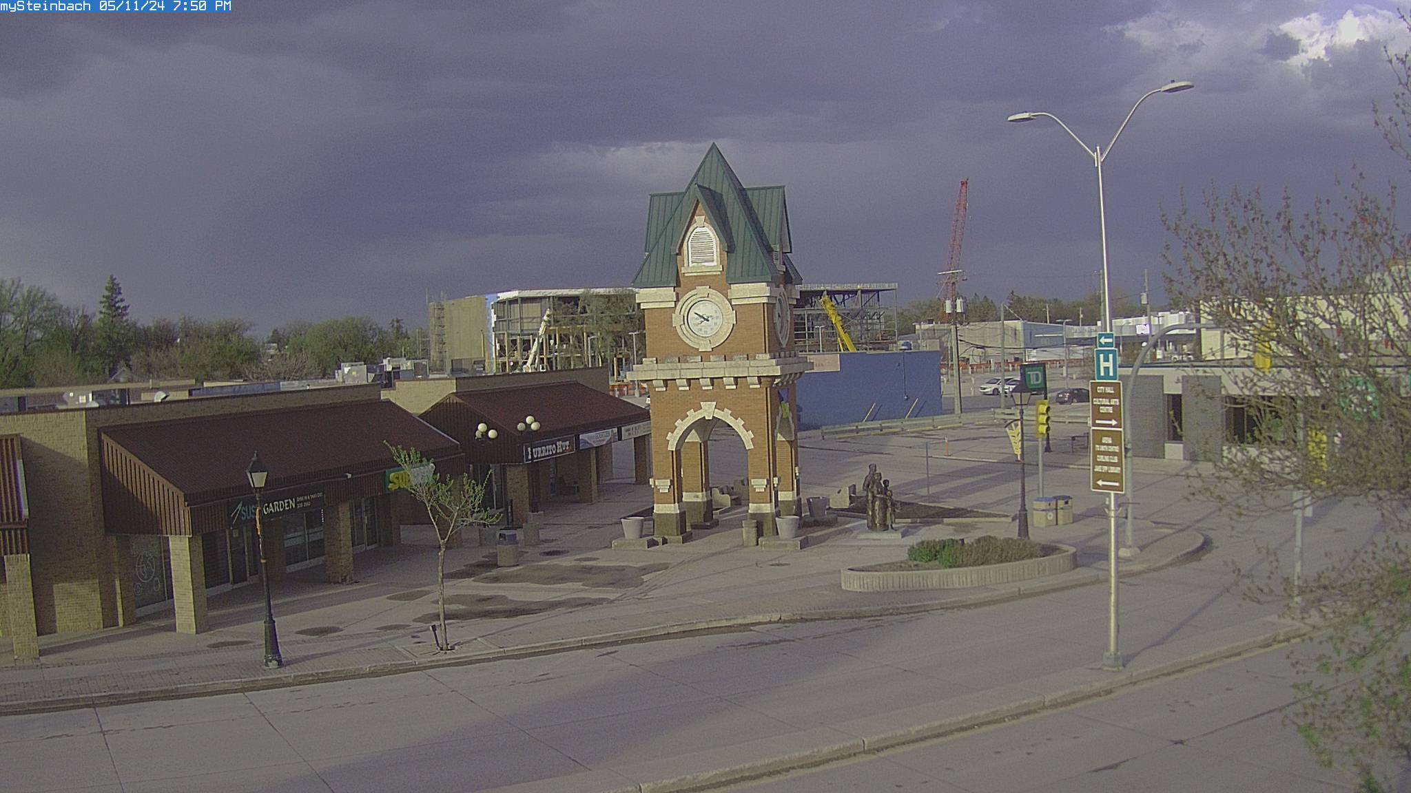
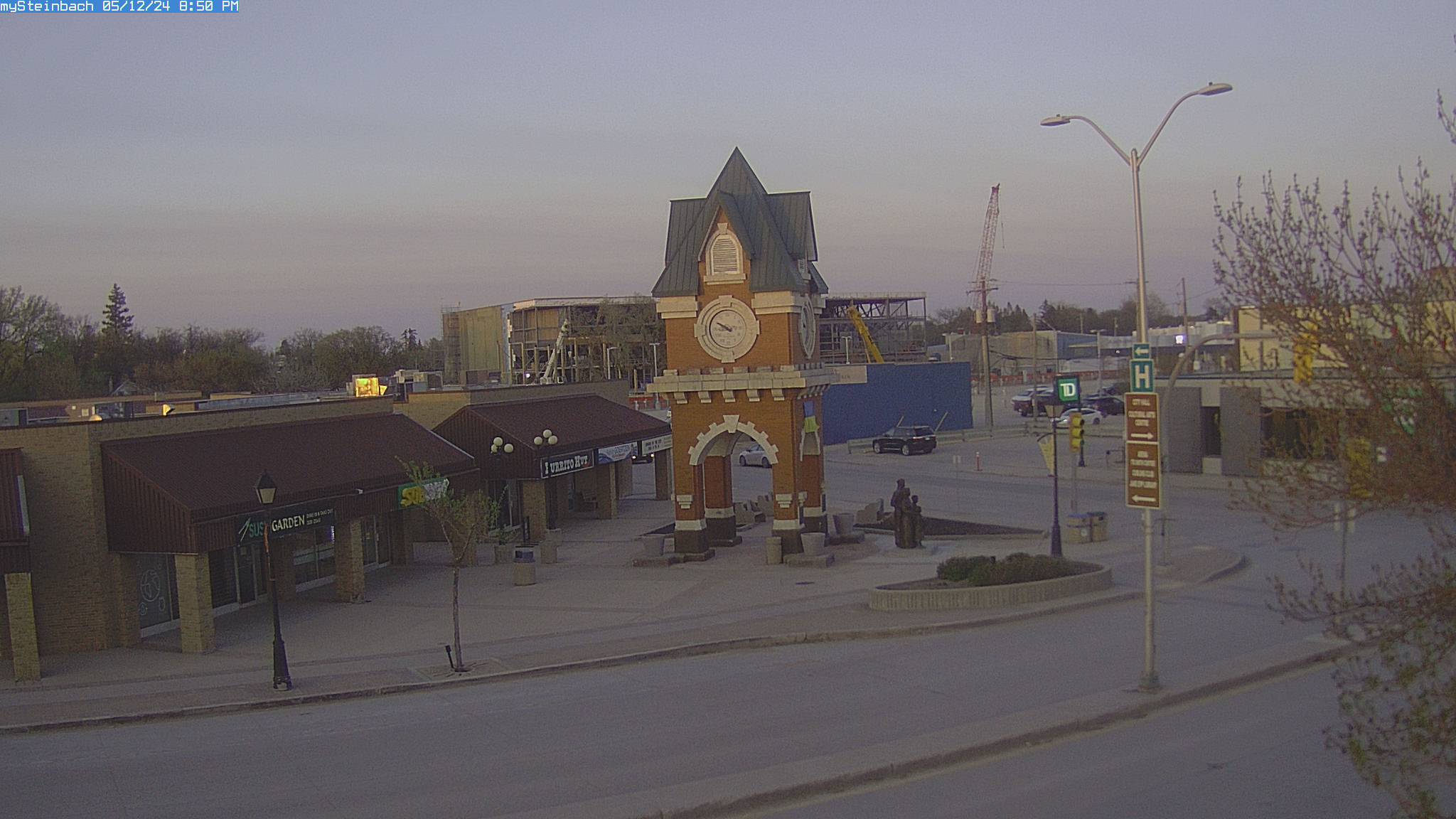
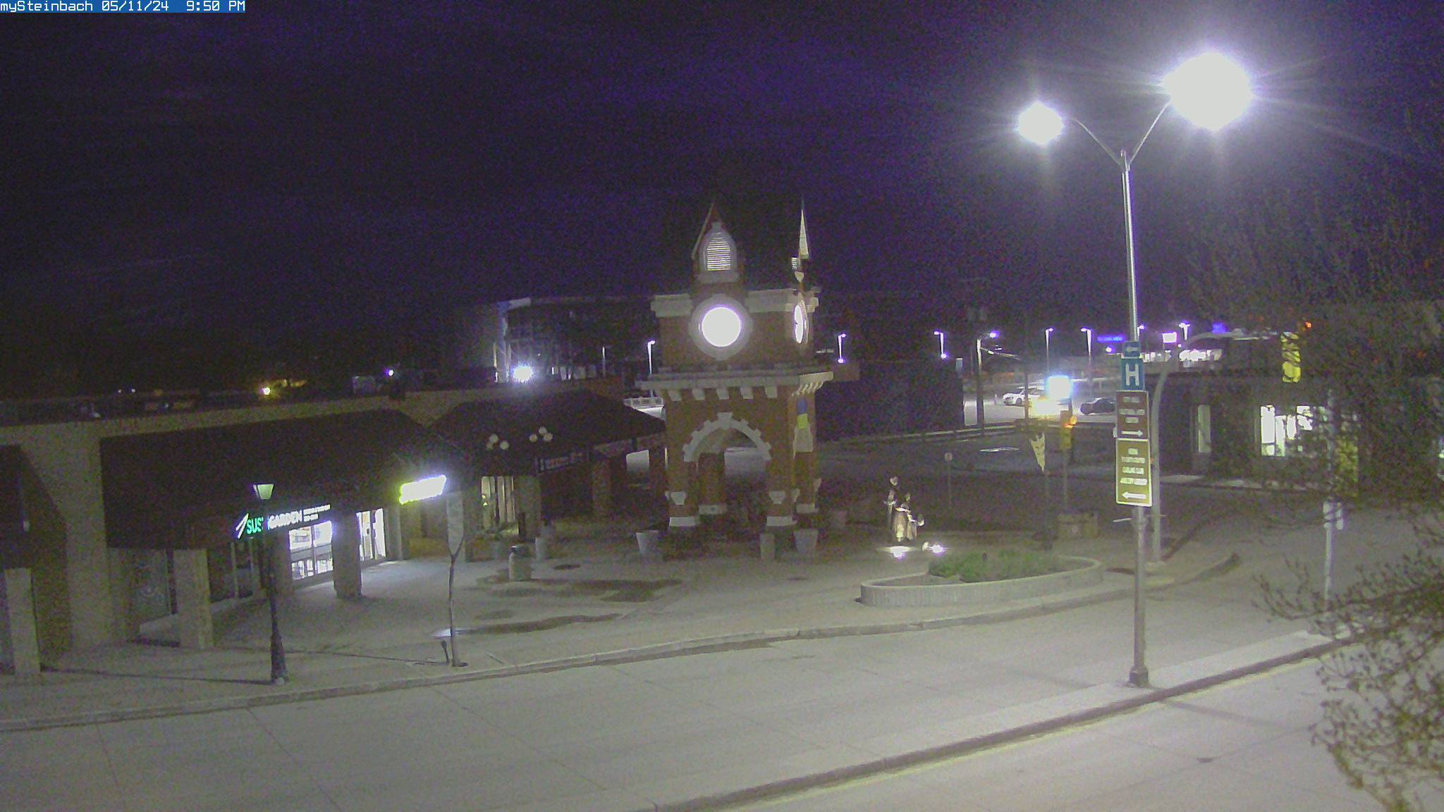
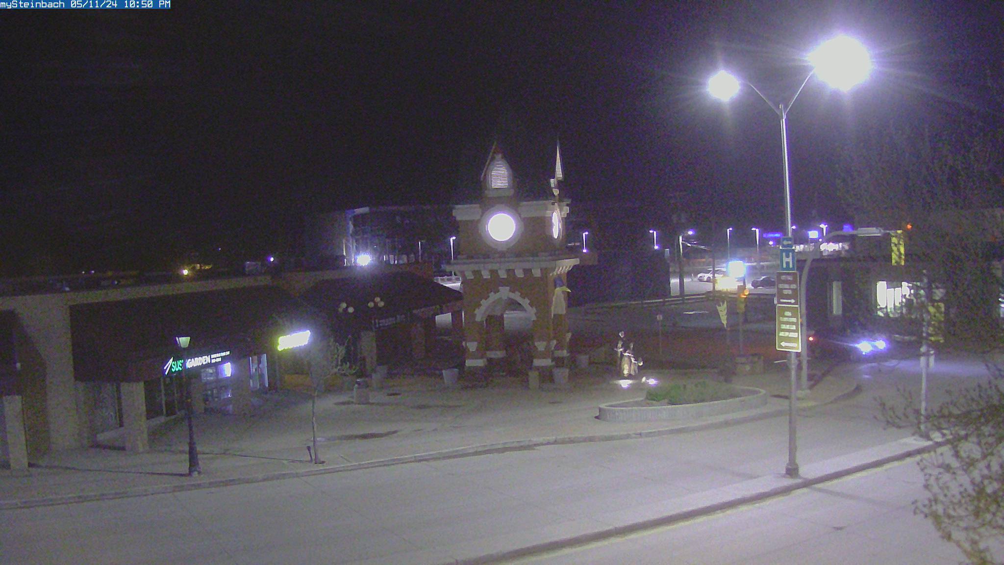
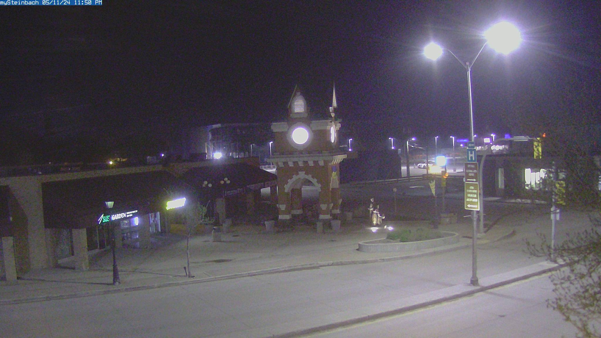
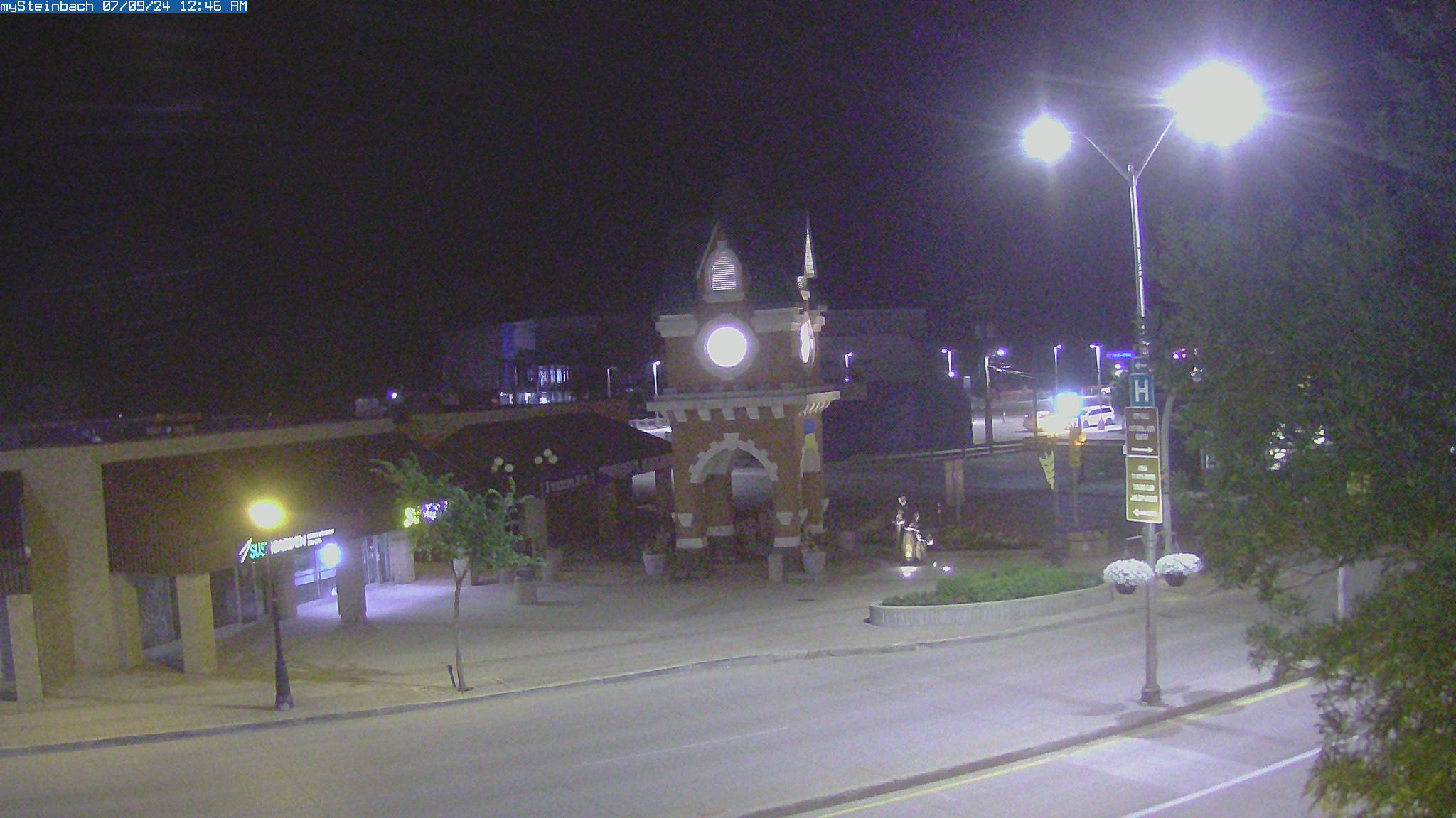
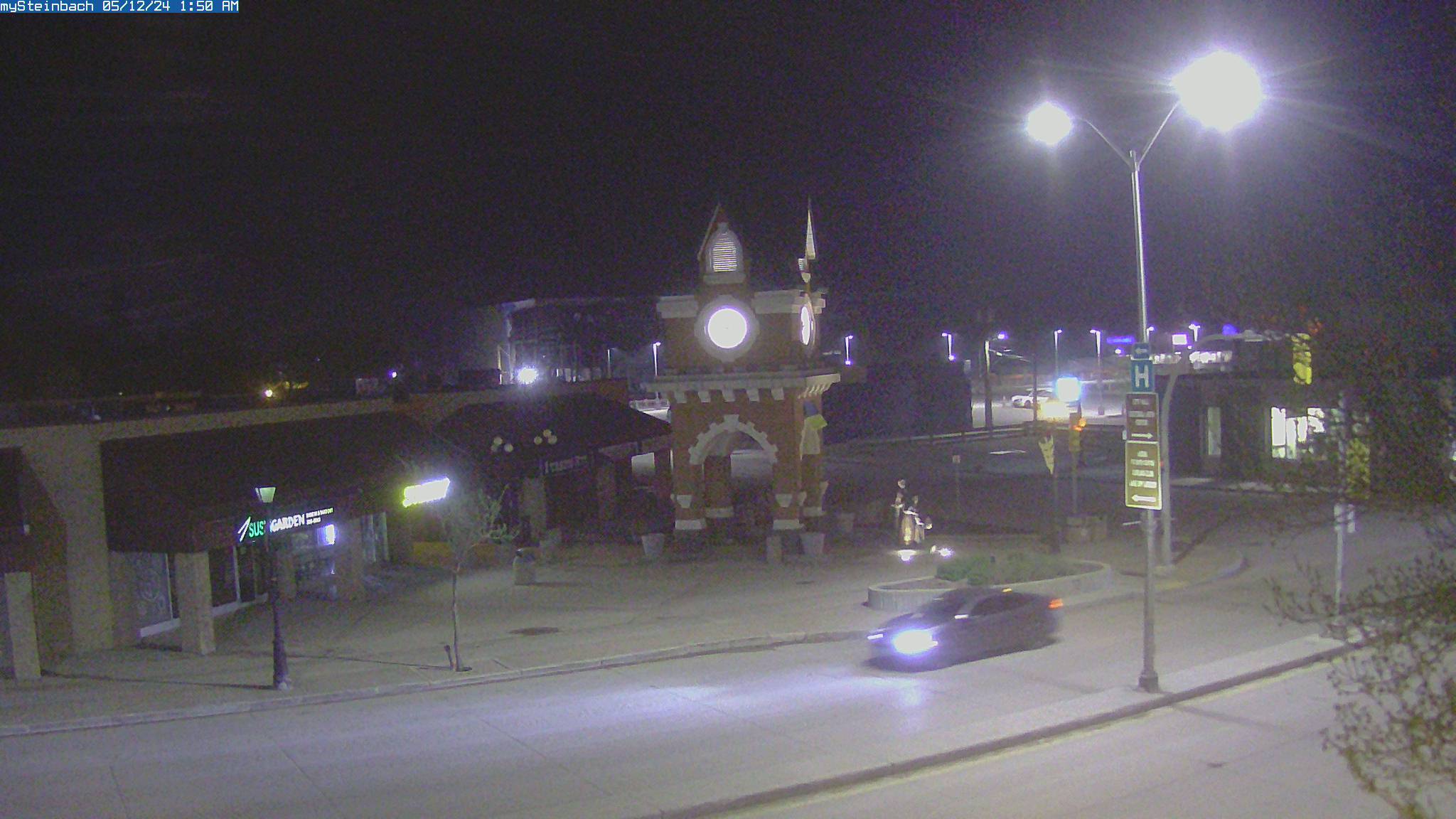
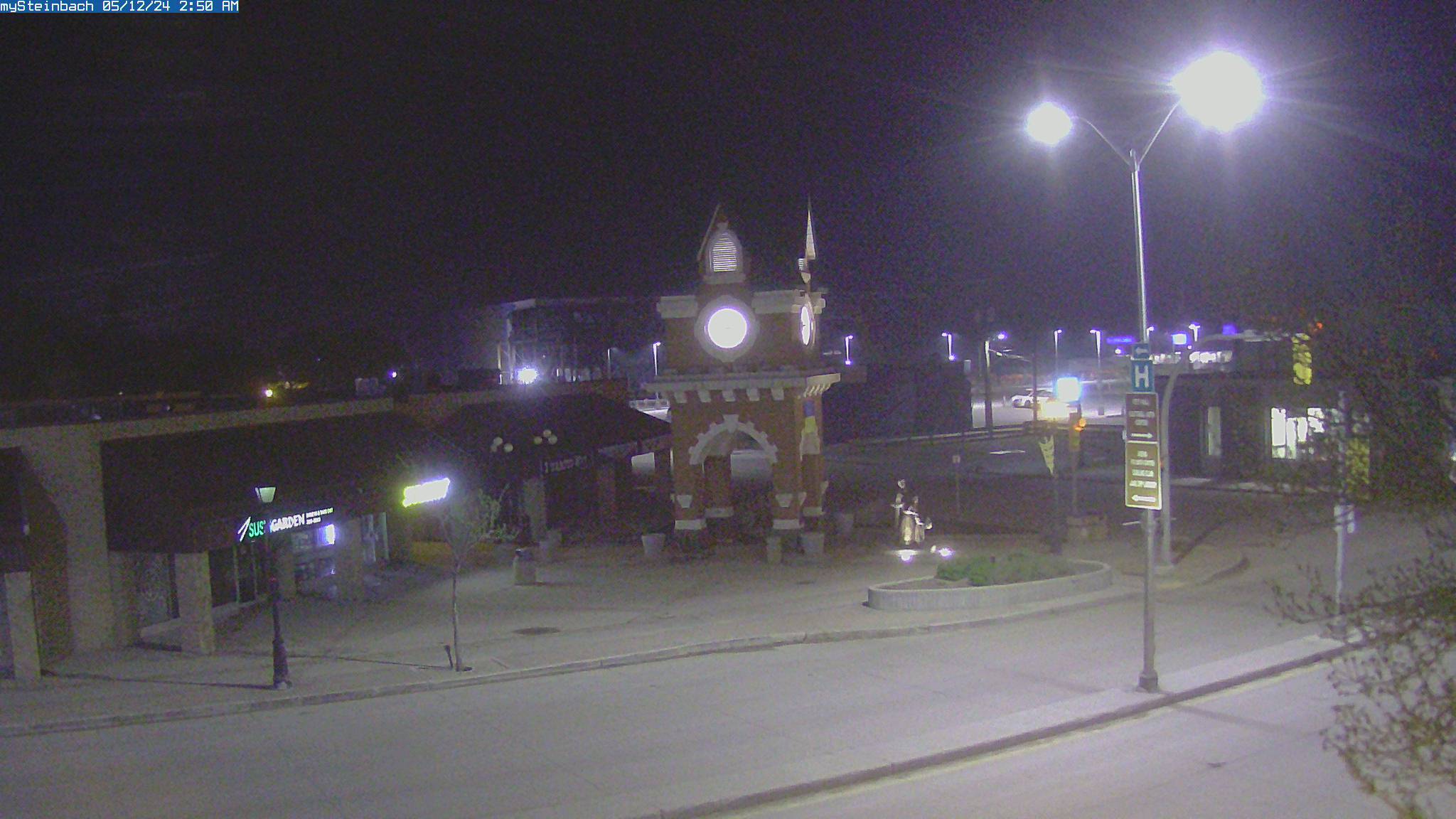
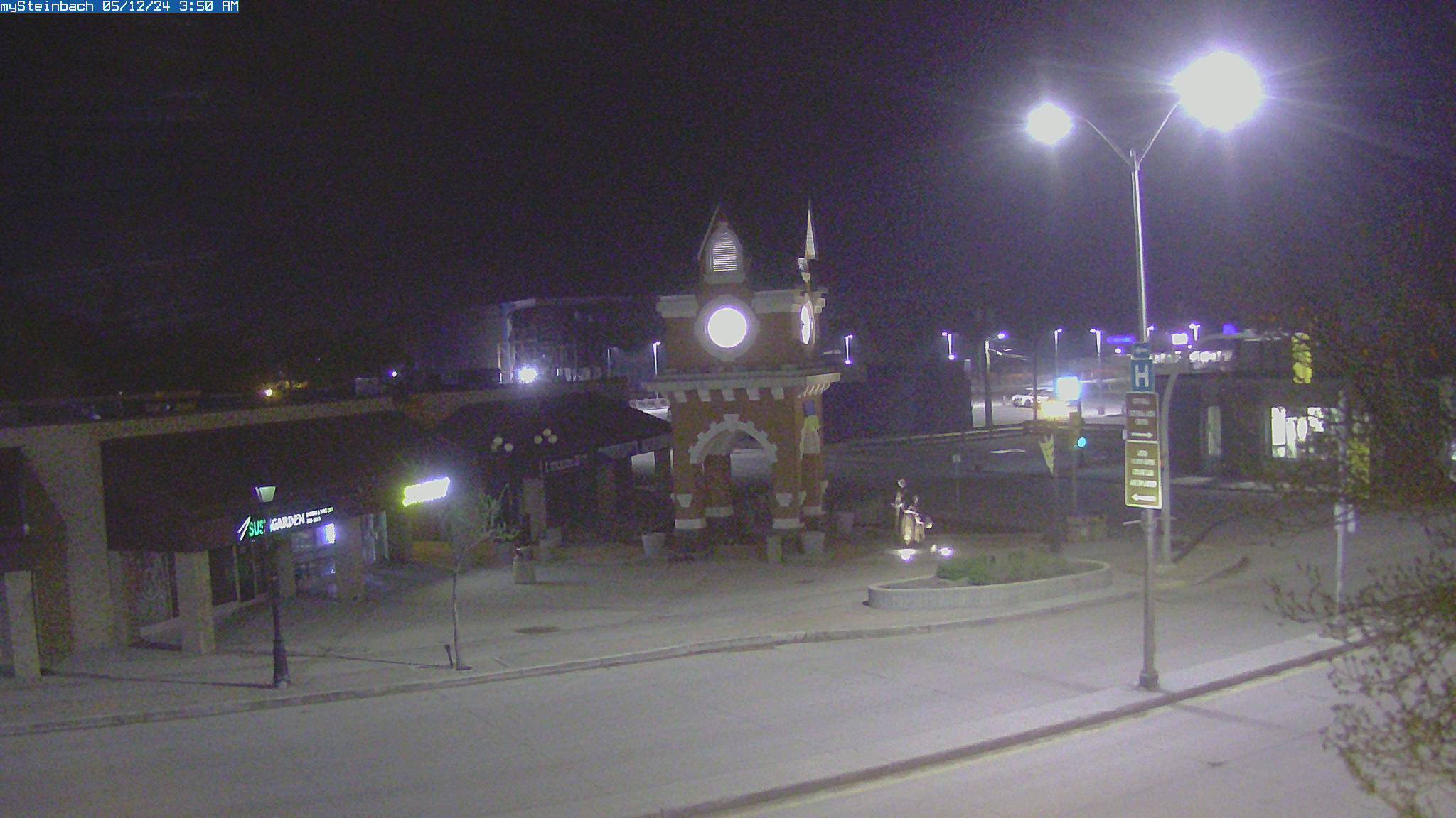
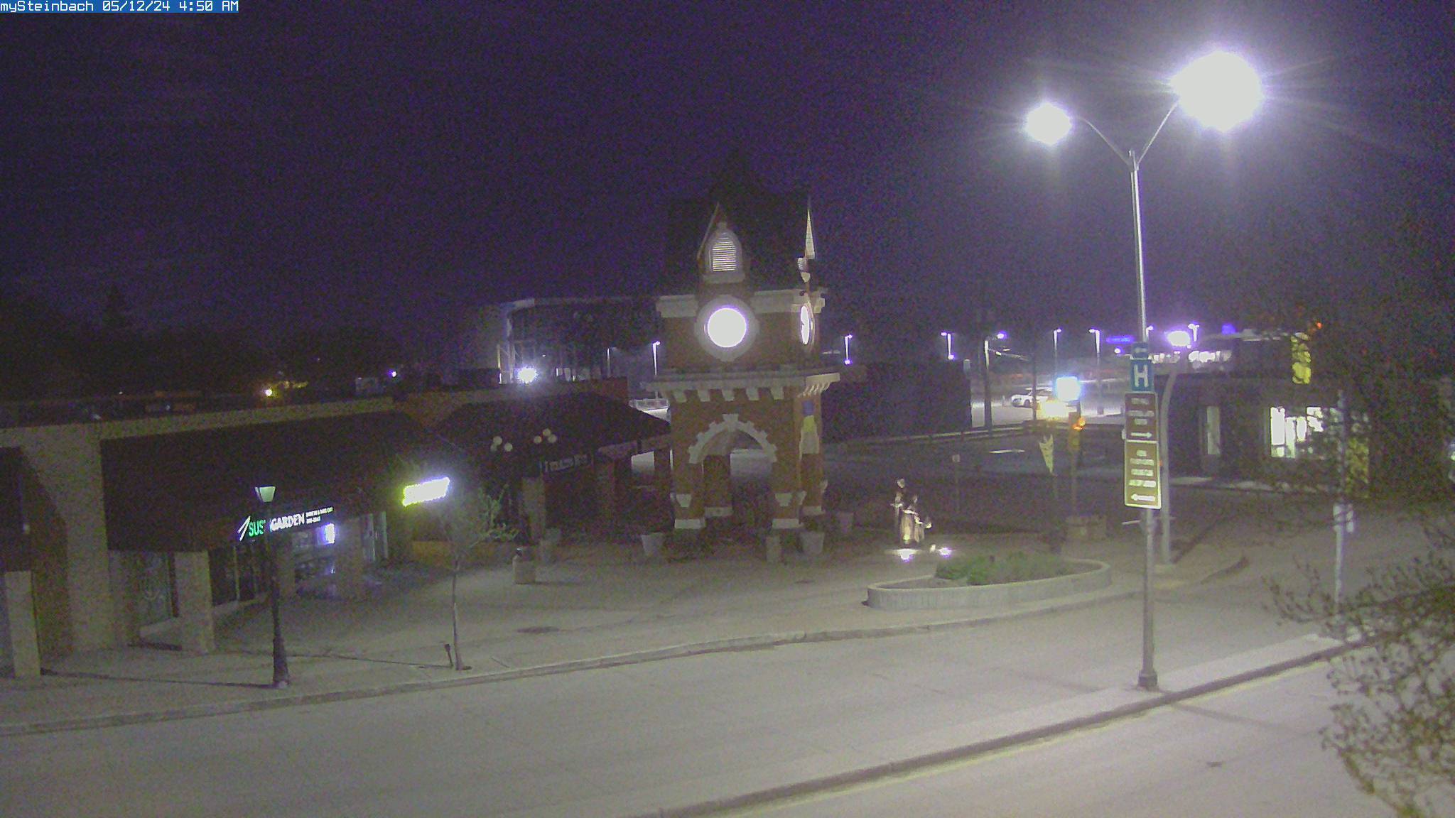
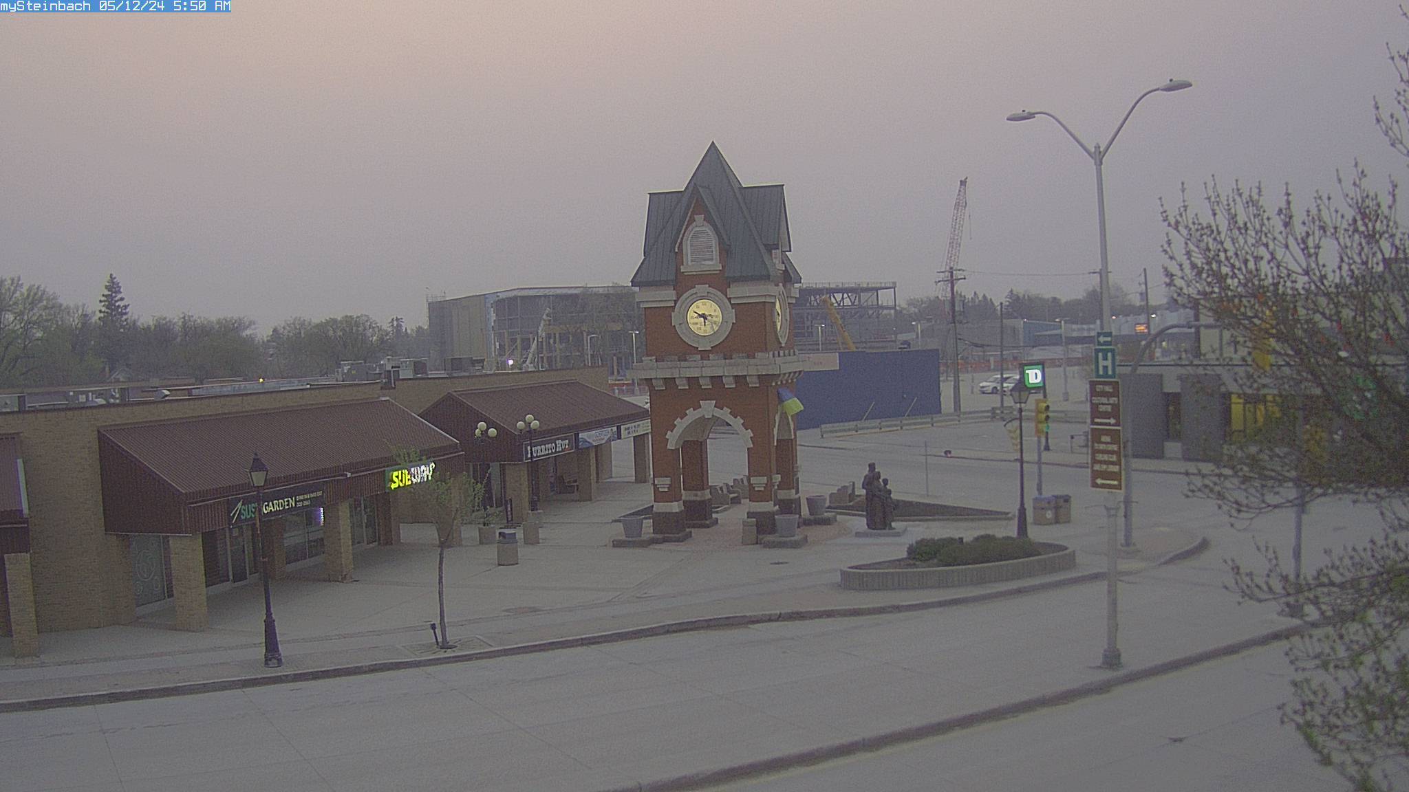
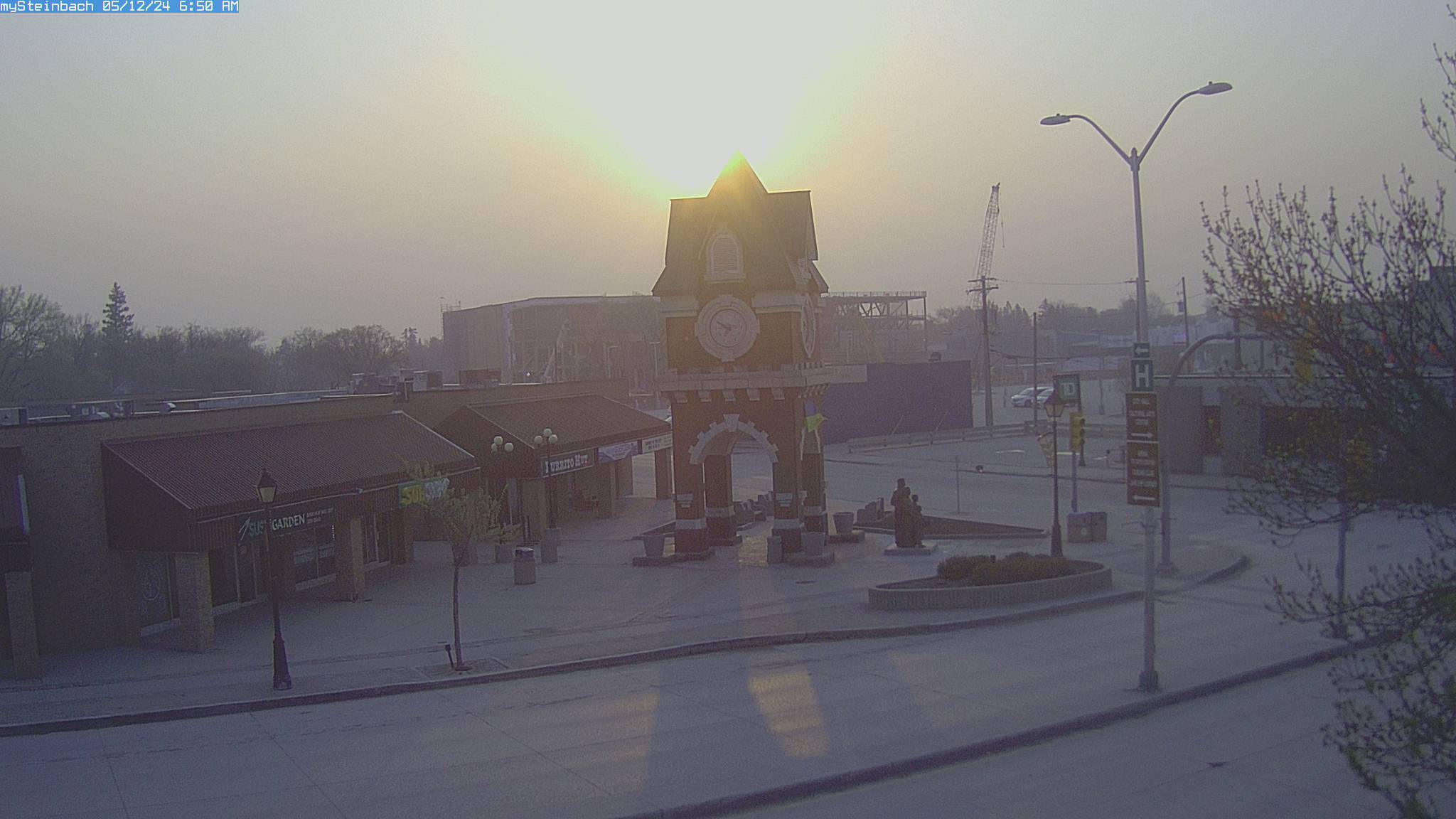
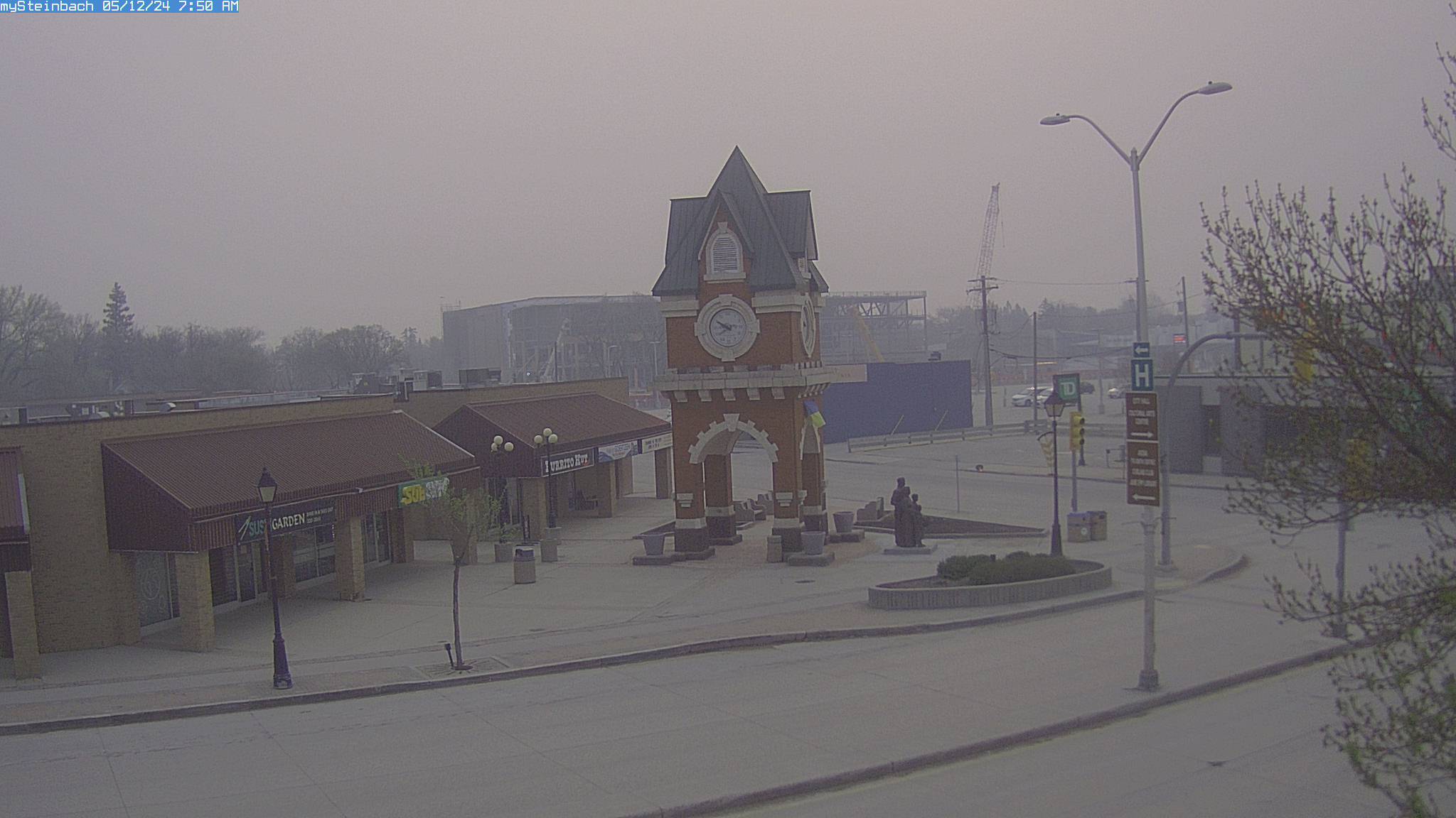
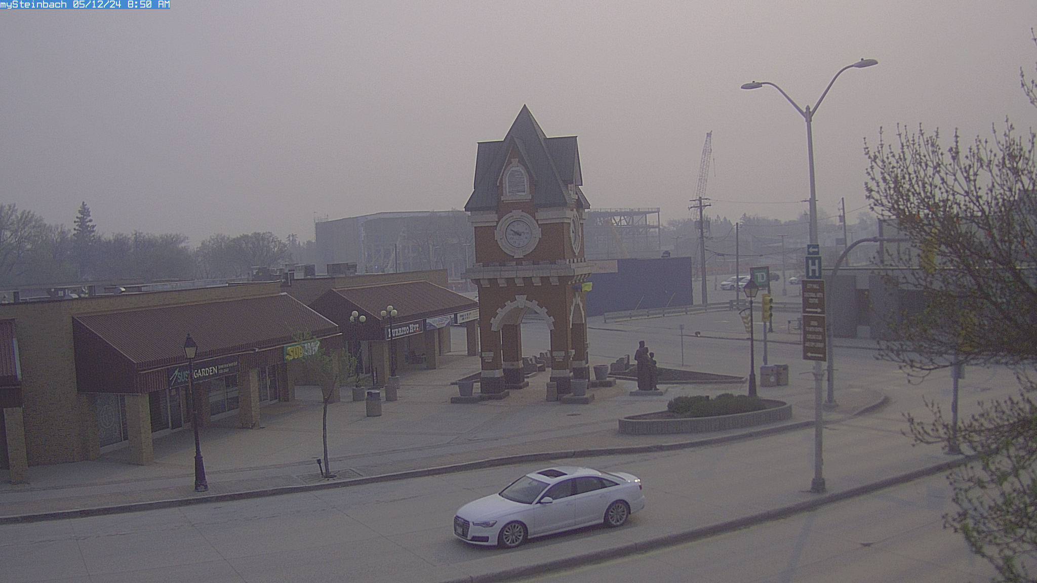
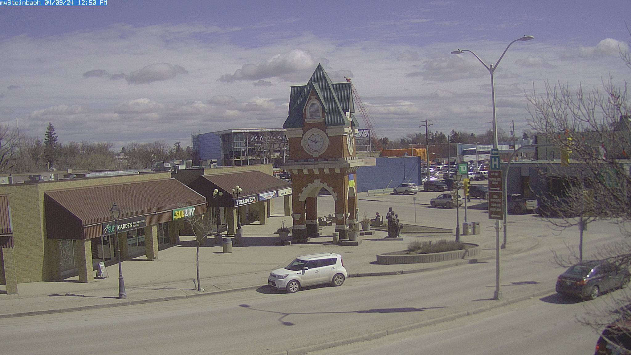
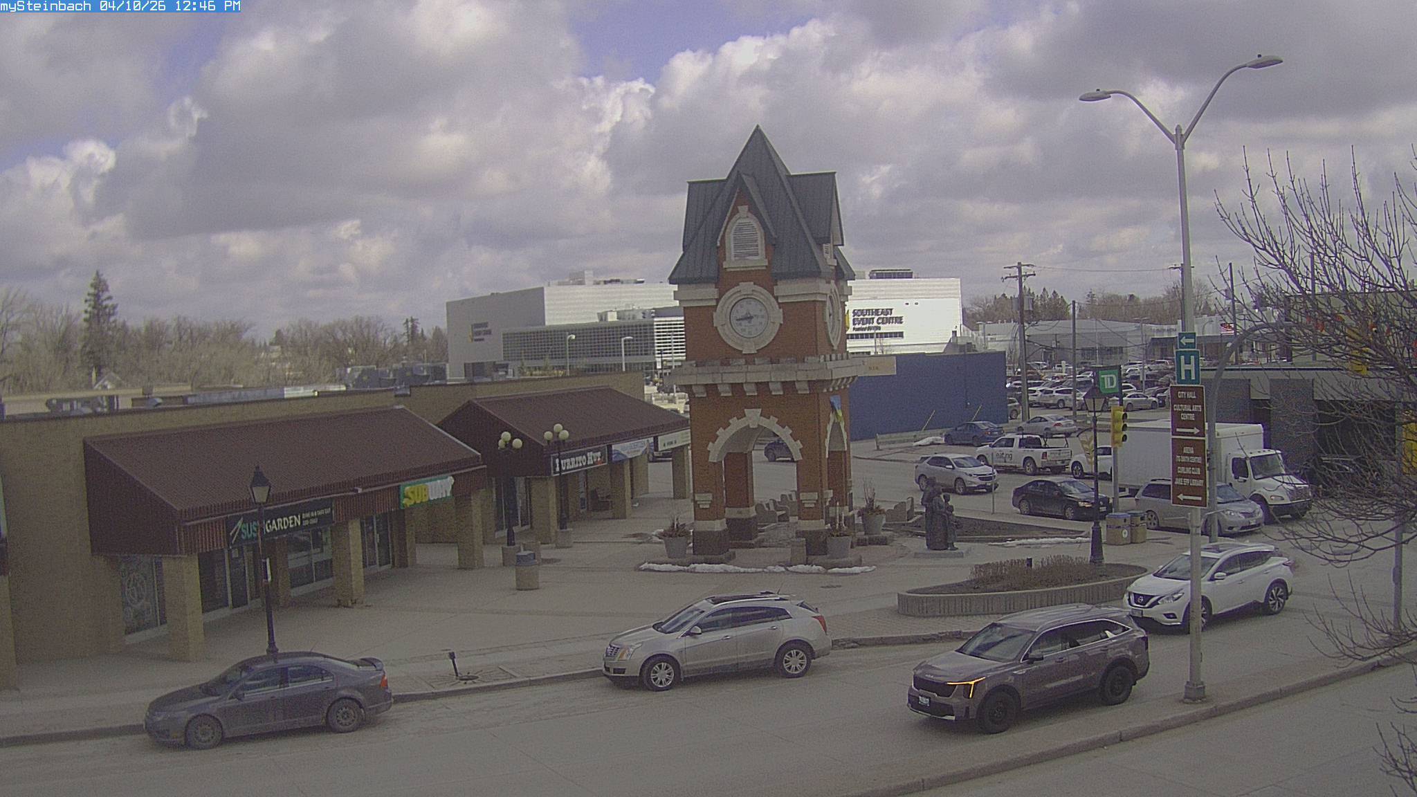
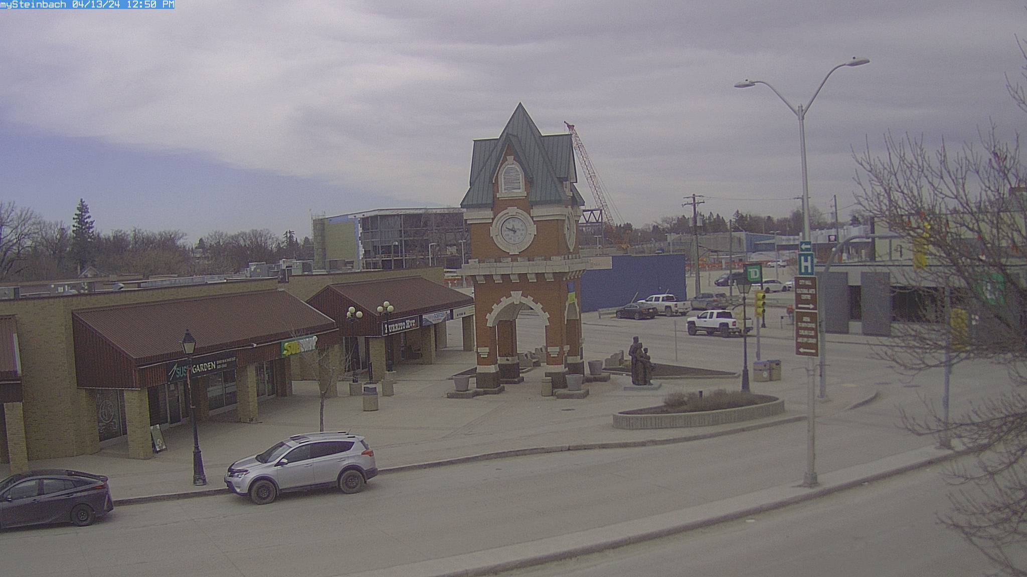
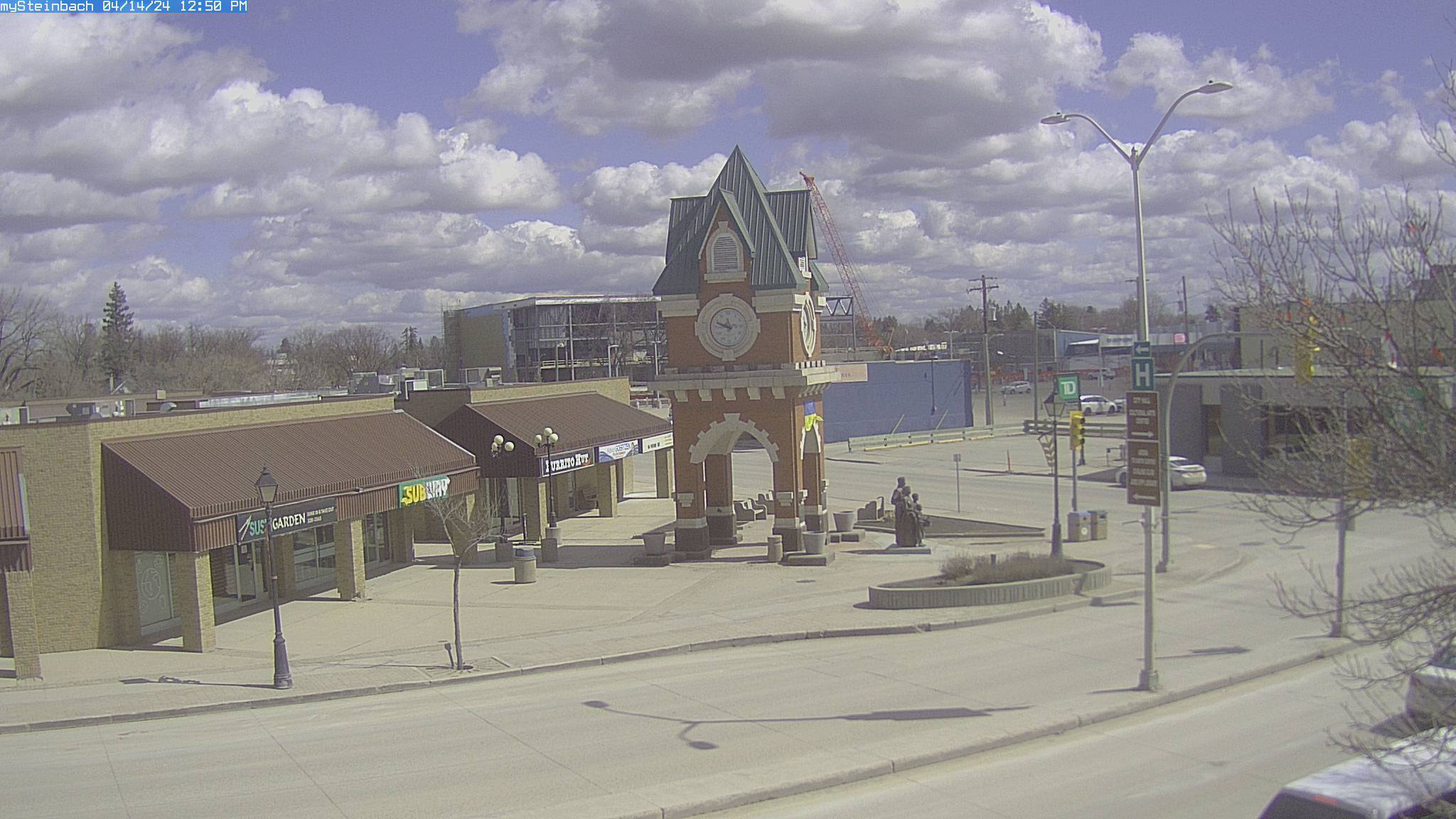
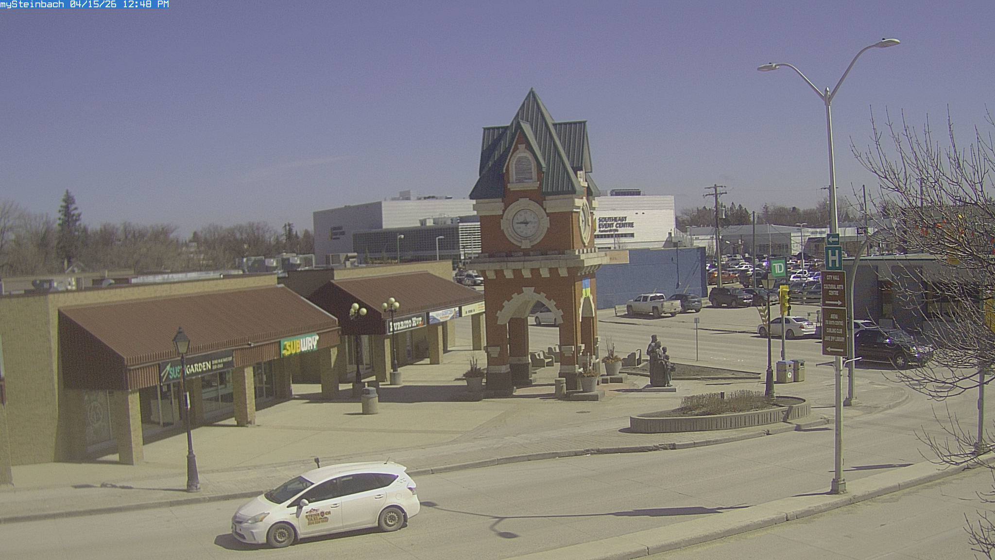
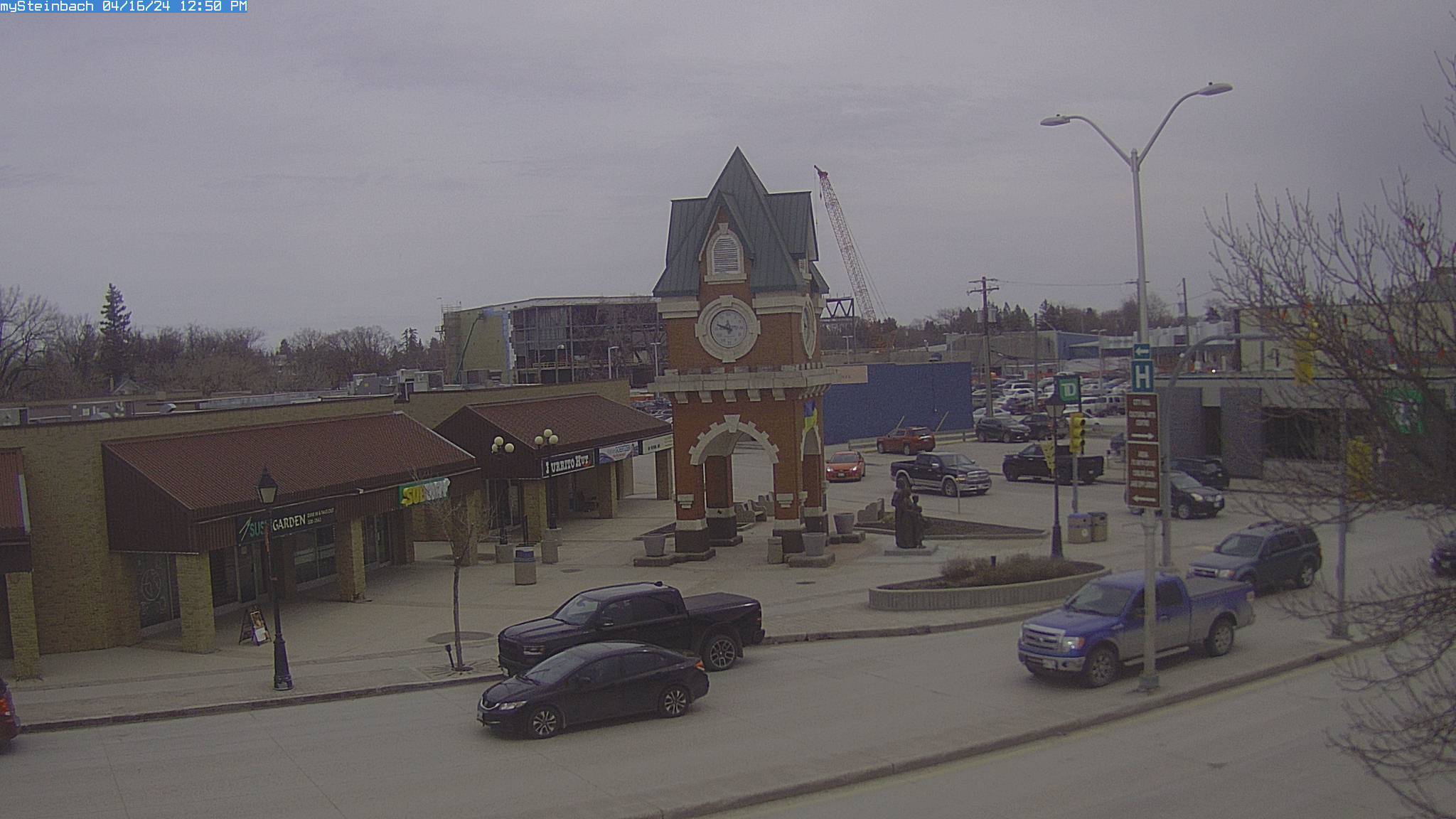
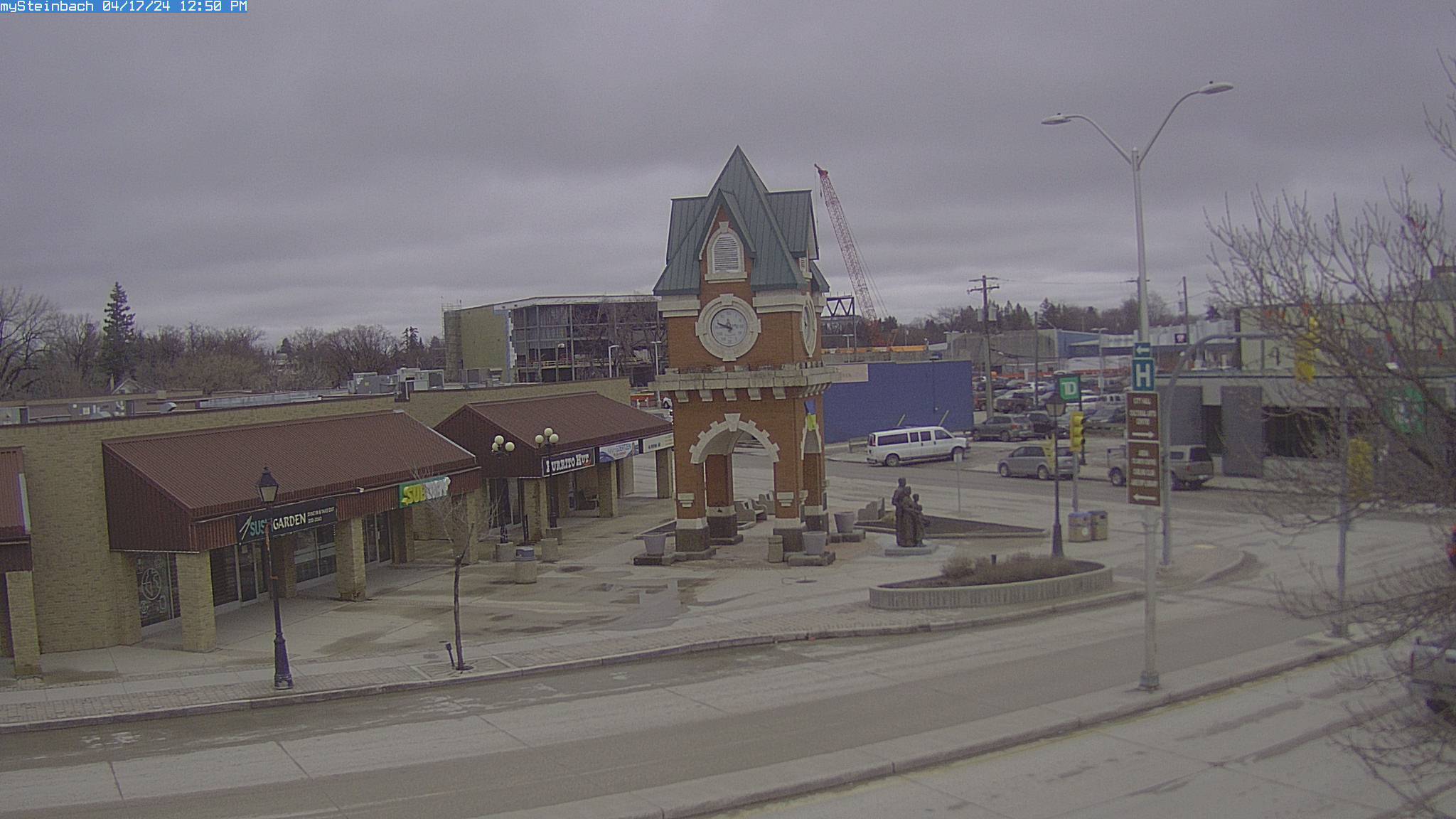
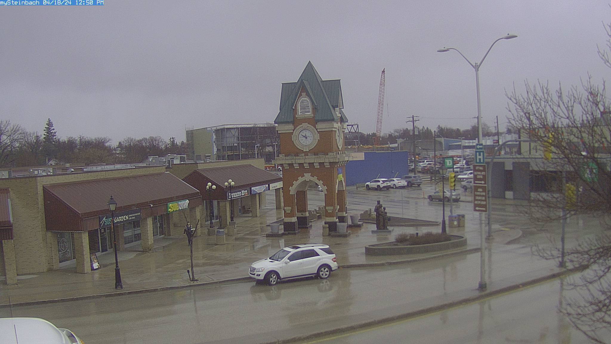
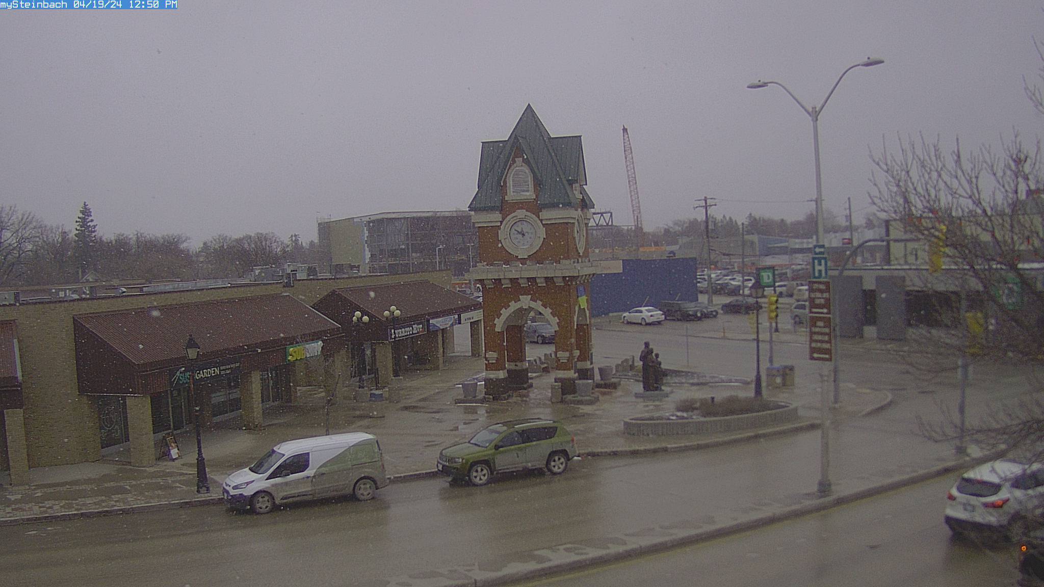
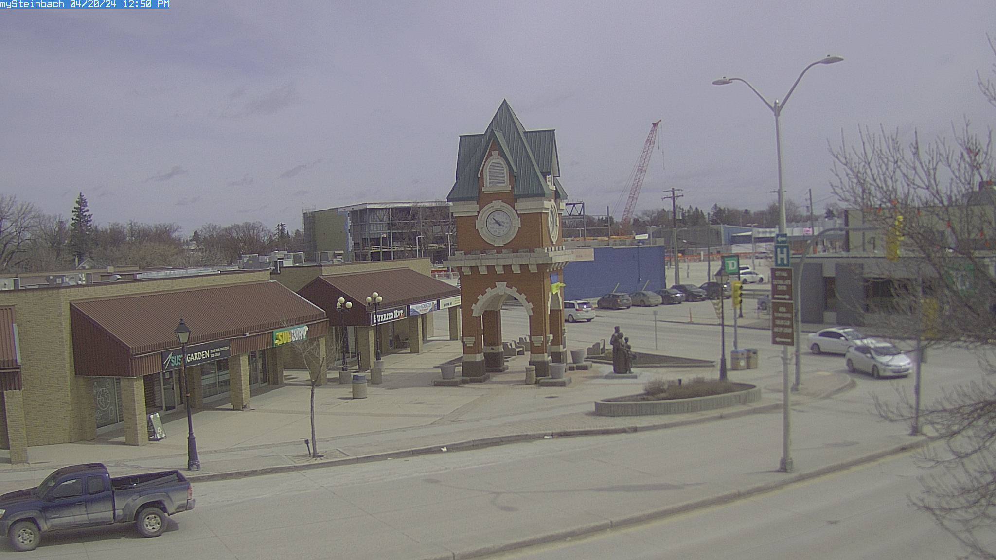
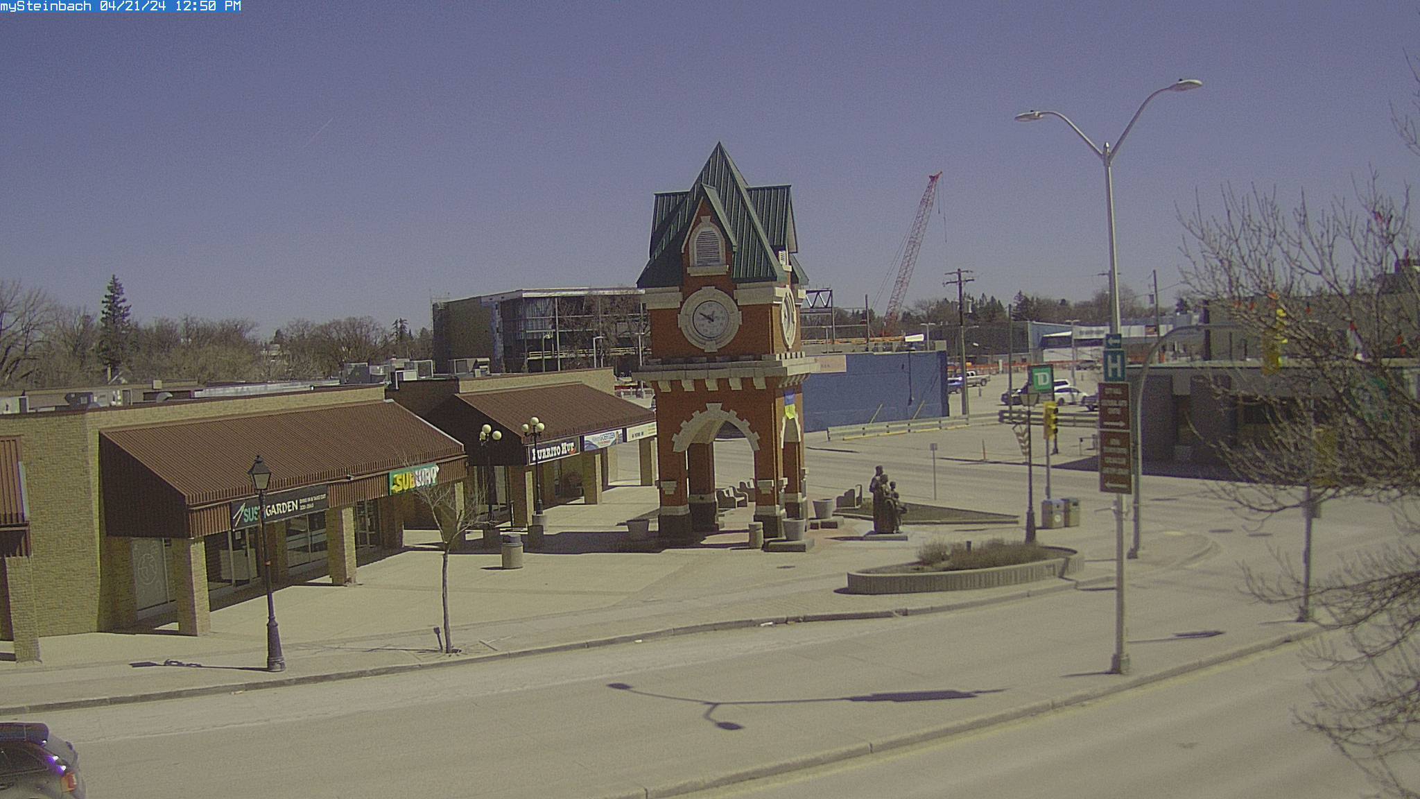
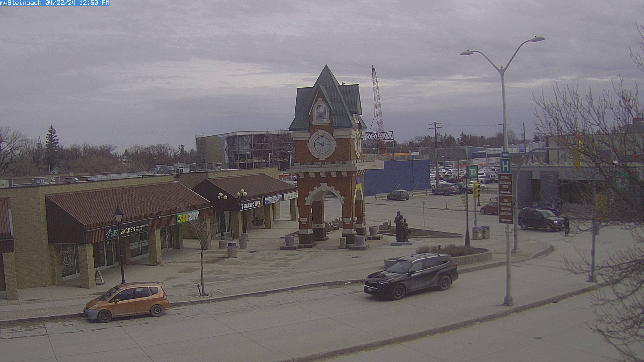
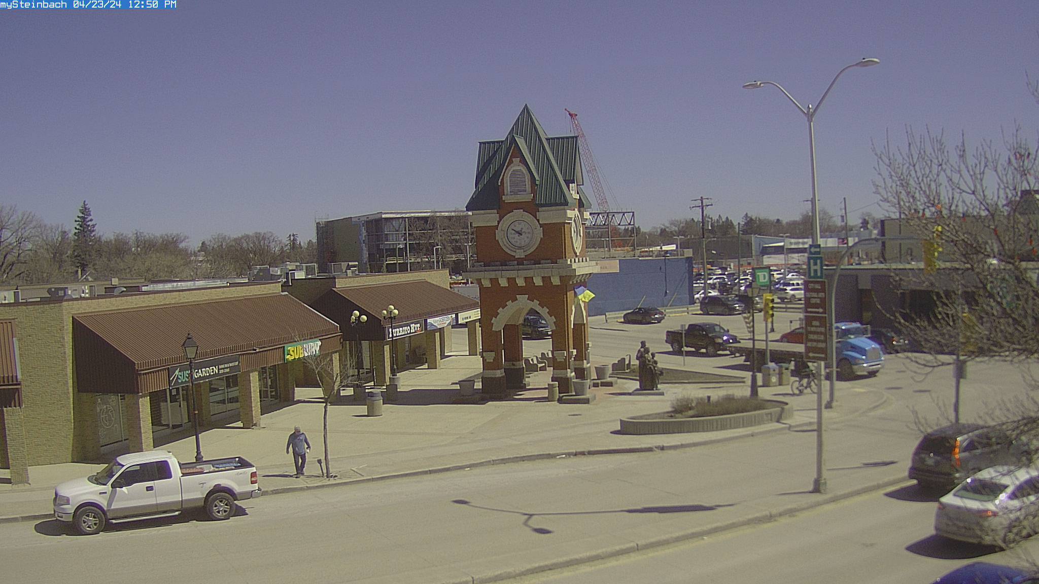
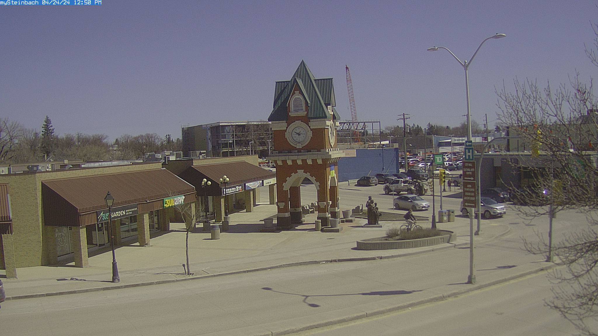
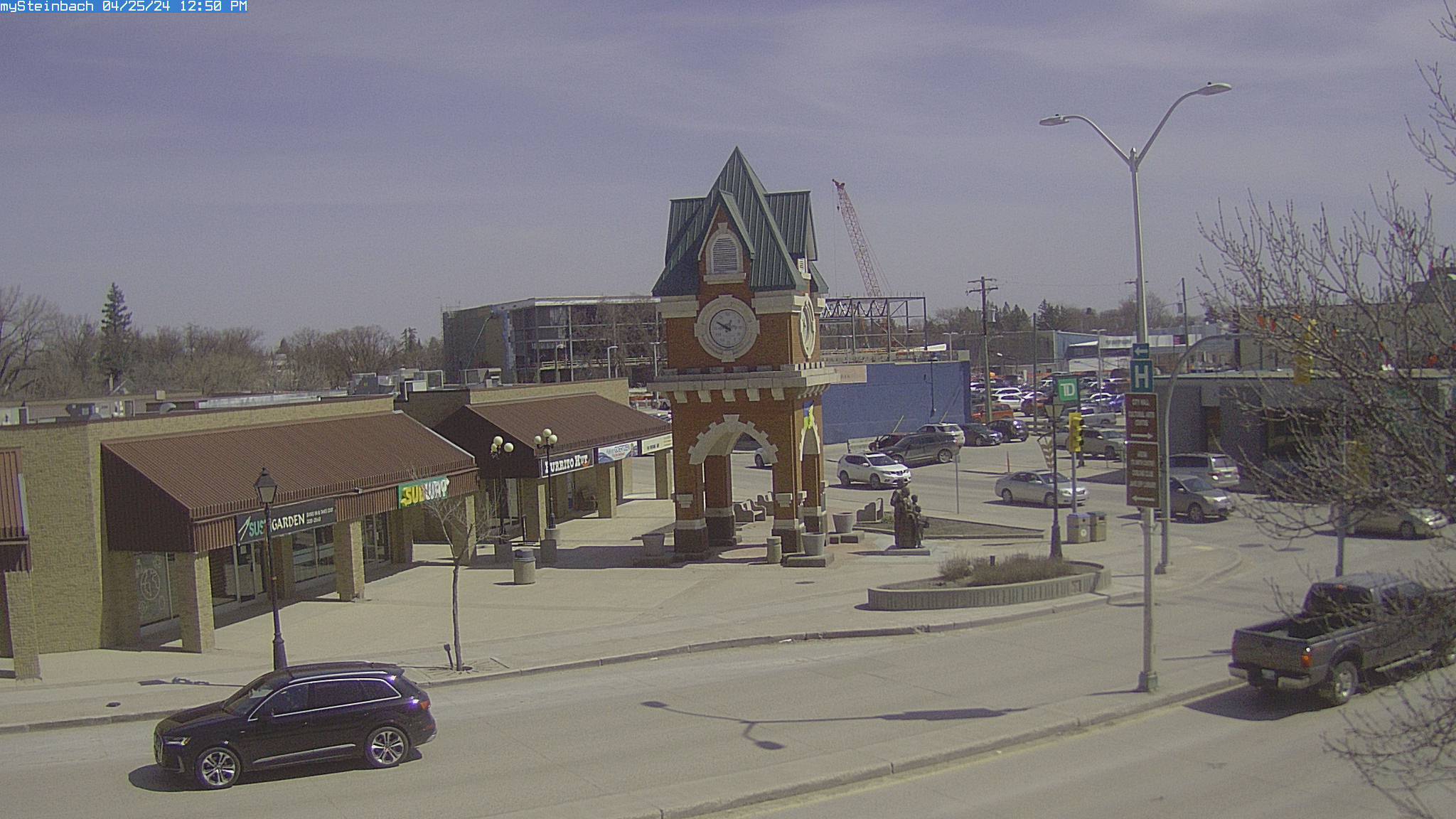
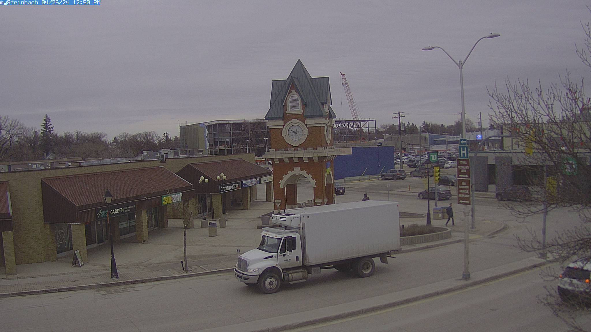
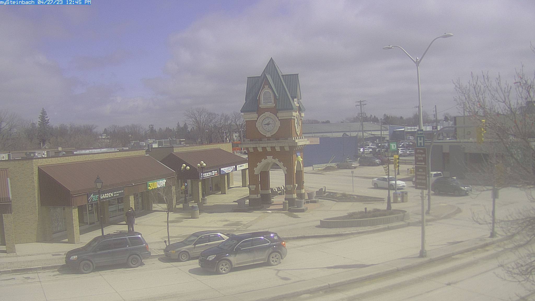
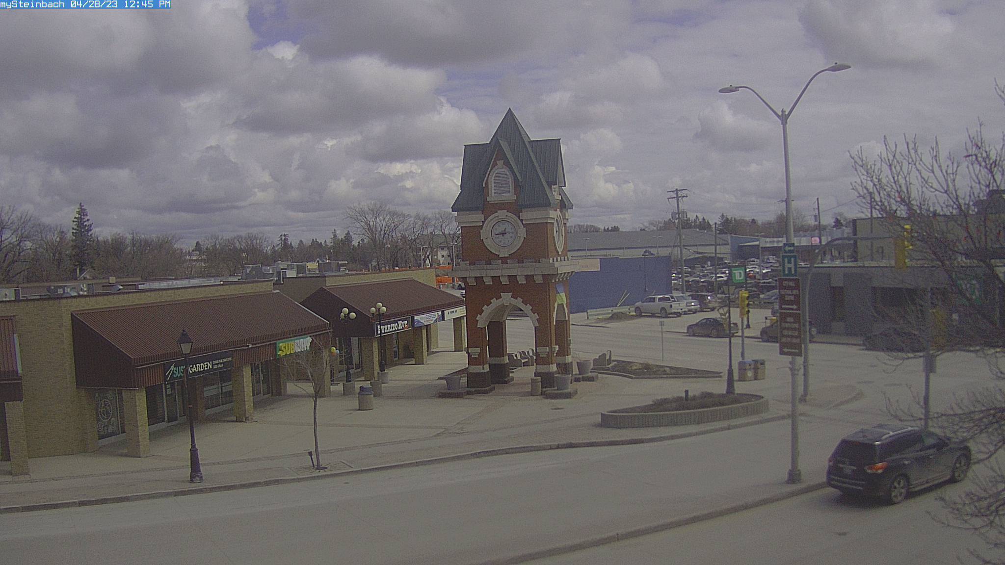
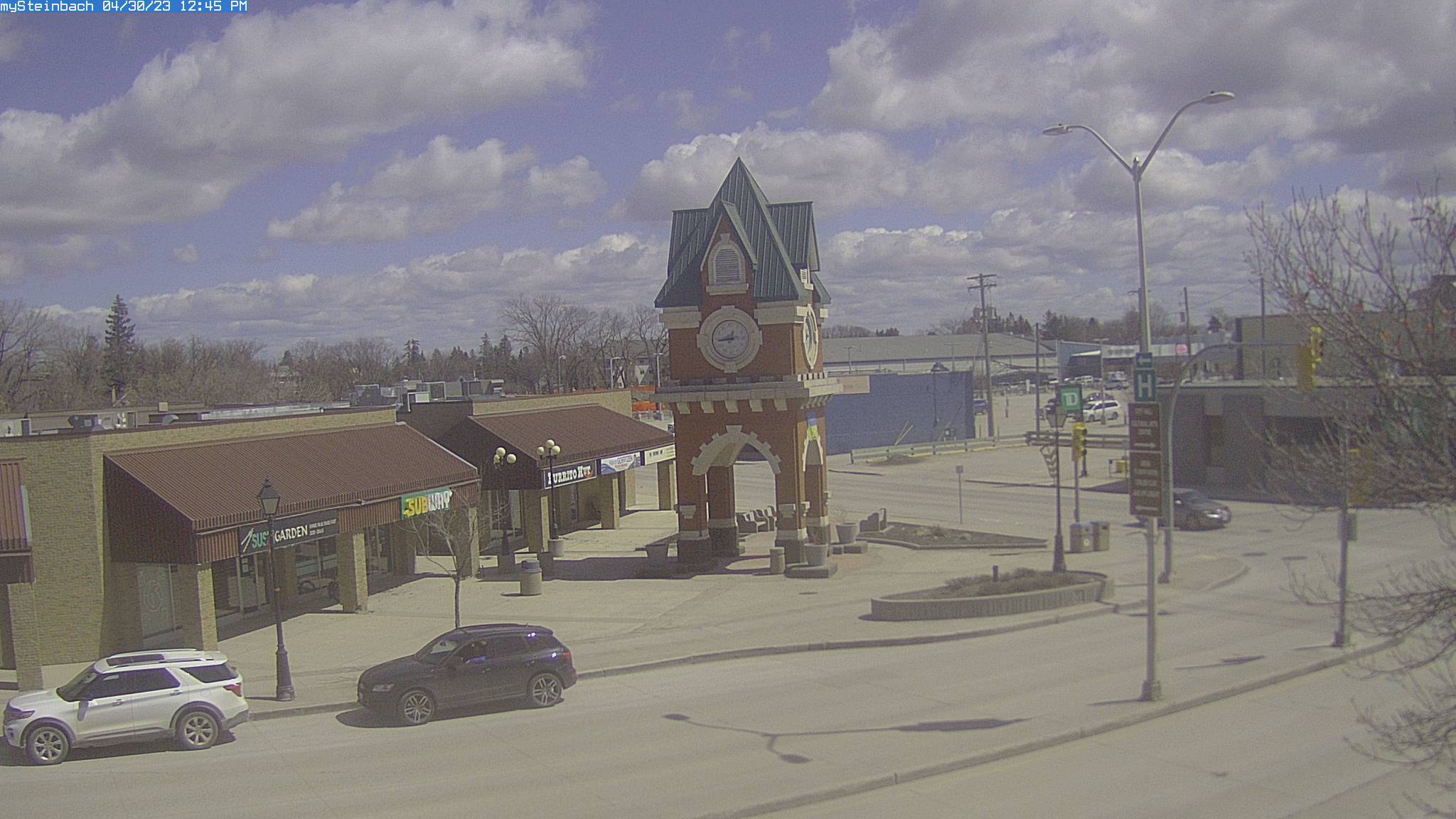
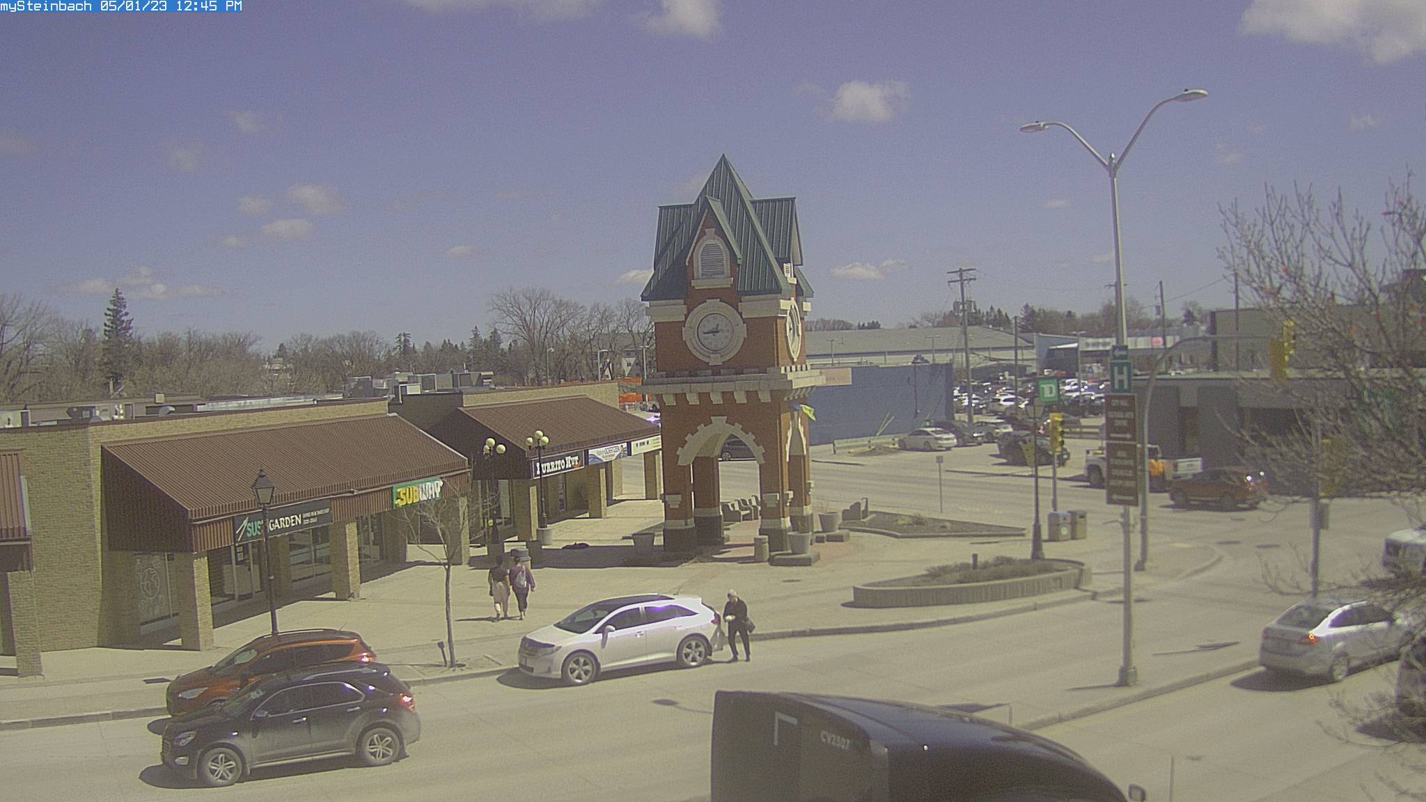
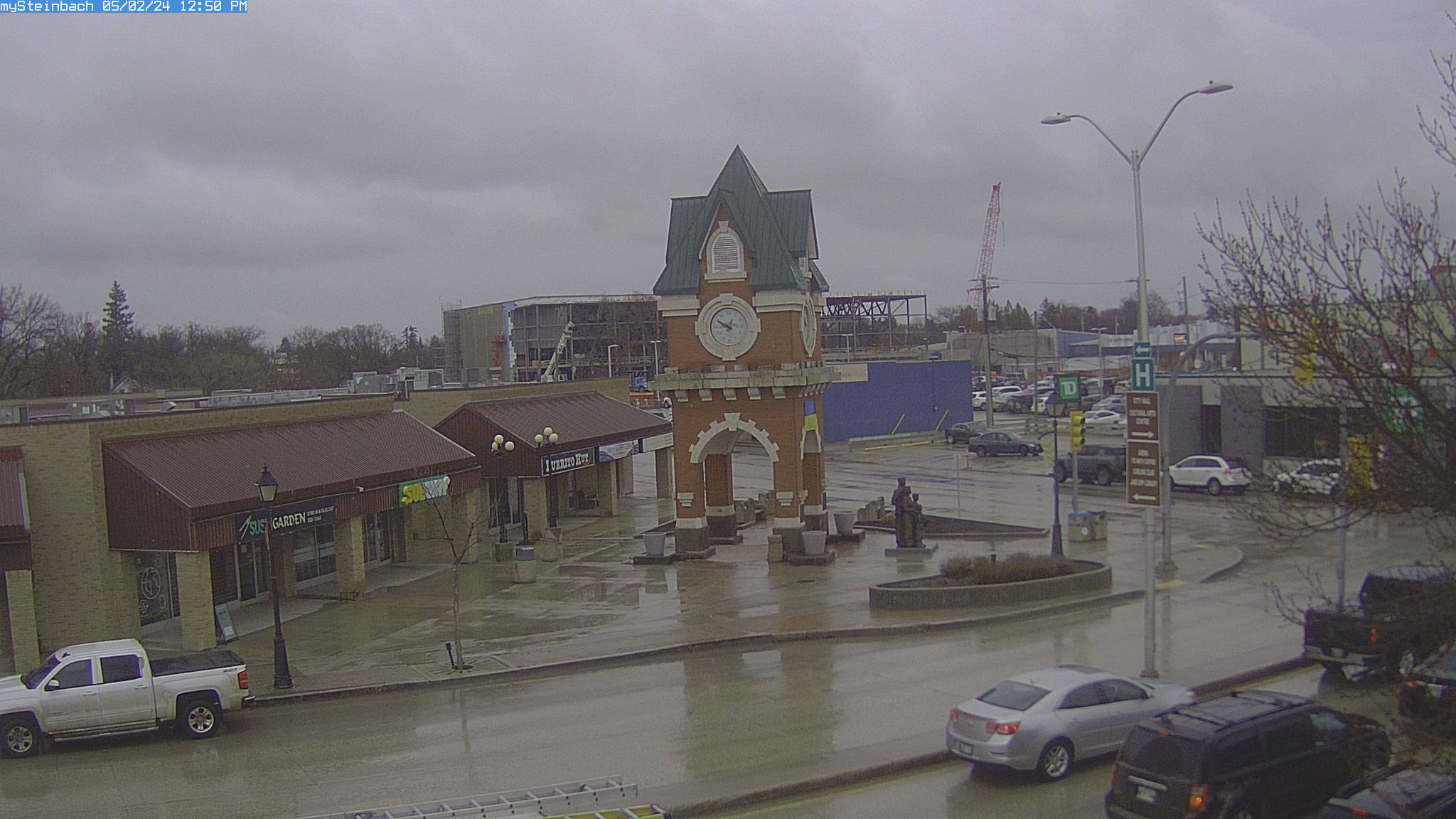
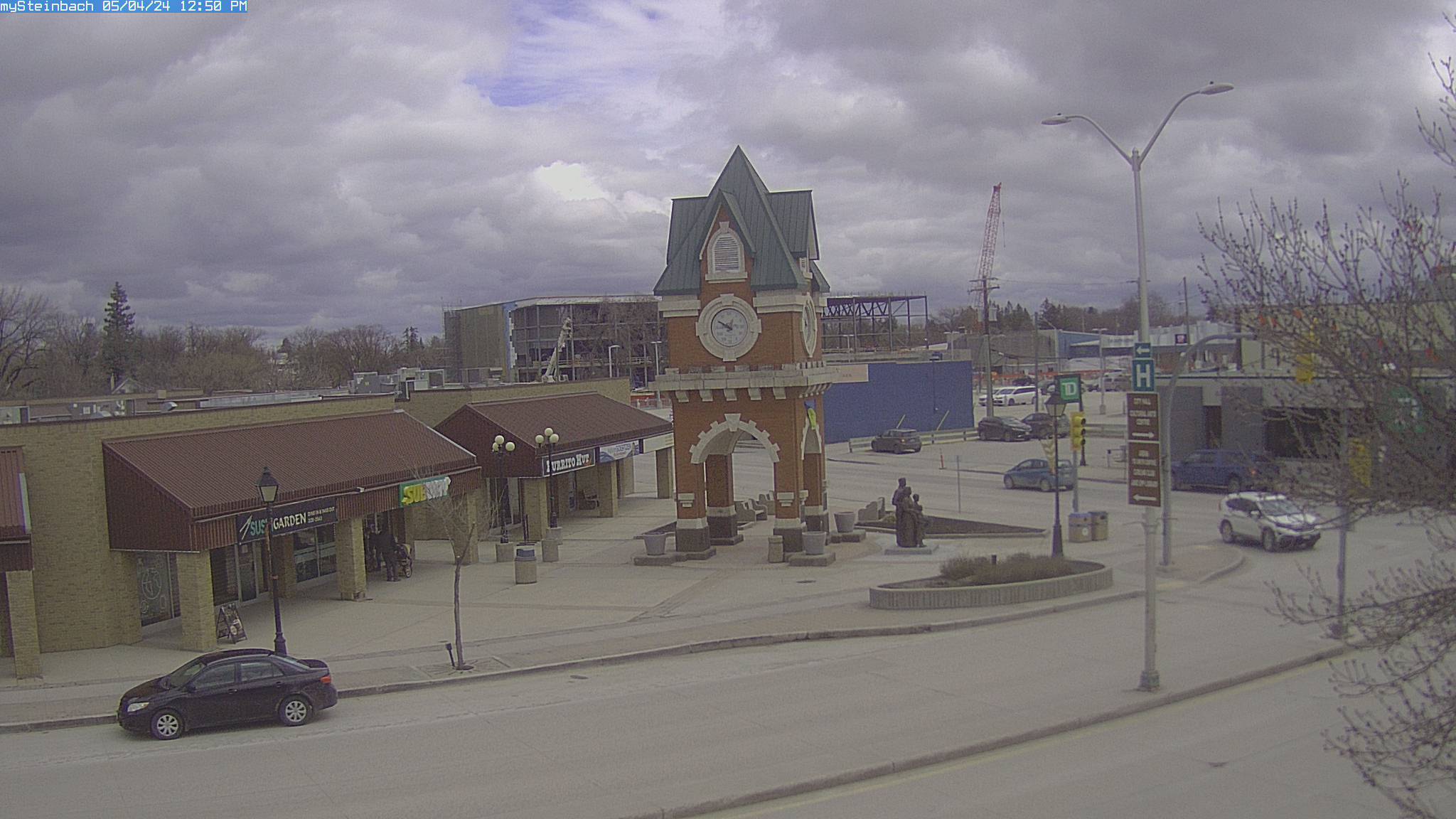
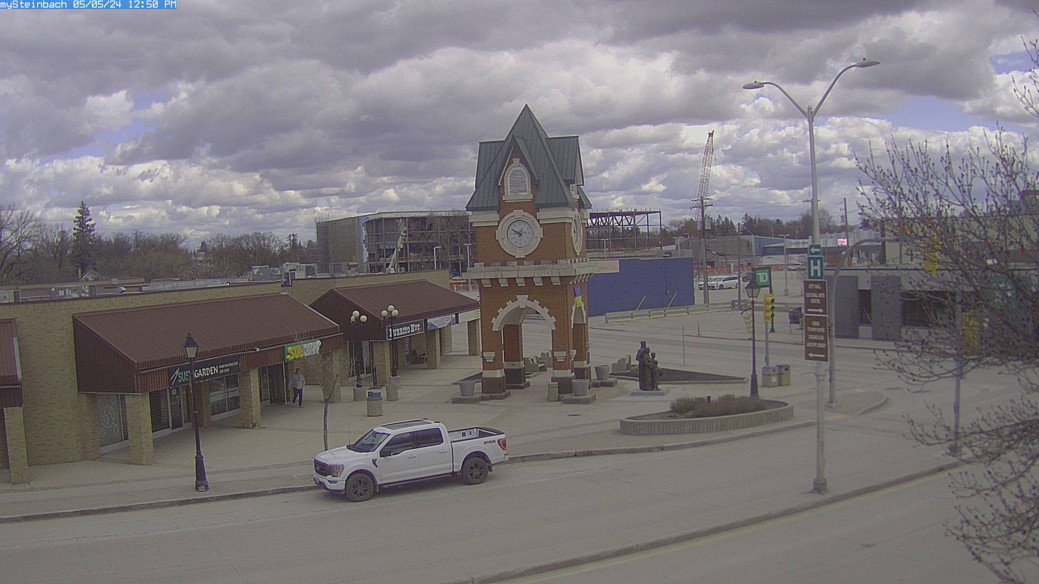
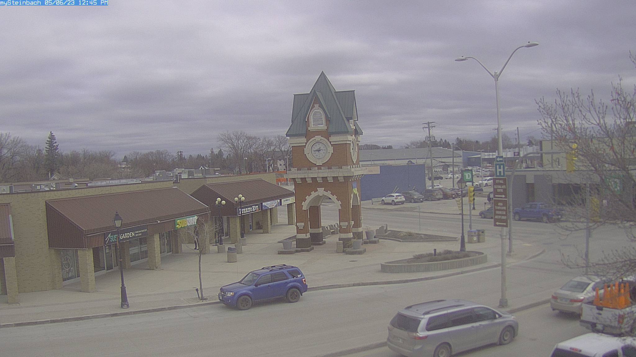
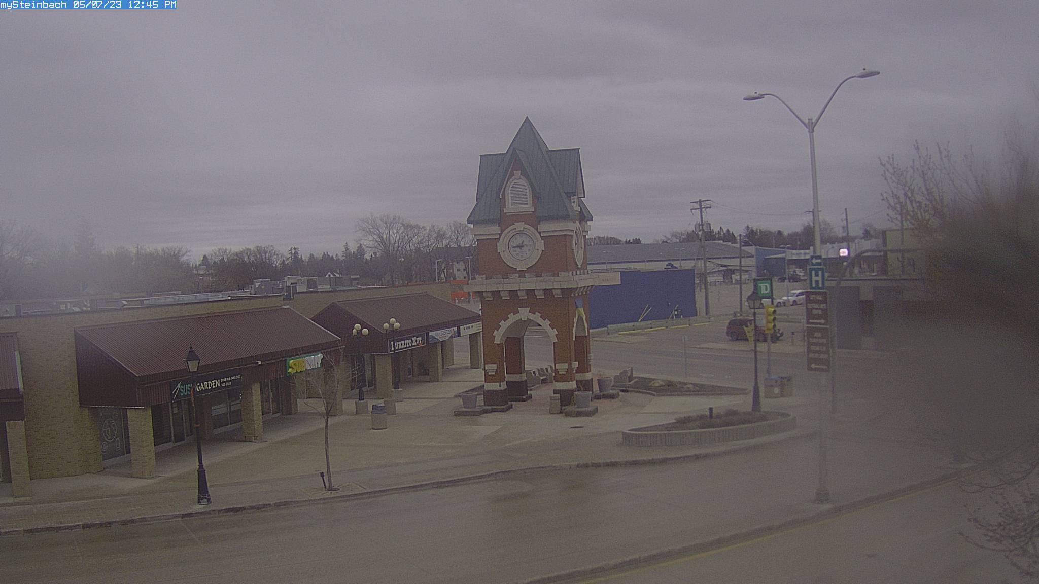
Steinbach, Kanada - 470.3 km da Summit: mySteinbach Web Cam - Una vista del centro della città di Steinbach, Manitoba, Canada.
Operatore: mySteinbach.ca
Mer. 09:50
Mer. 10:50
Mer. 11:50
Mer. 12:50
Mer. 13:50
Mer. 14:50
Mer. 15:50
Mer. 16:50
Mer. 17:50
Mer. 18:50
Mer. 19:50
Mer. 20:50
Mer. 21:50
Mer. 22:50
Mer. 23:50
Gio. 00:50
Gio. 01:50
Gio. 02:50
Gio. 03:50
Gio. 04:50
Gio. 05:50
Gio. 06:50
Gio. 07:50
Gio. 08:50
Mar. 9.4.
Mer. 10.4.
Gio. 11.4.
Ven. 12.4.
Sab. 13.4.
Dom. 14.4.
Lun. 15.4.
Mar. 16.4.
Mer. 17.4.
Gio. 18.4.
Ven. 19.4.
Sab. 20.4.
Dom. 21.4.
Lun. 22.4.
Mar. 23.4.
Mer. 24.4.
Gio. 25.4.
Ven. 26.4.
Sab. 27.4.
Dom. 28.4.
Lun. 29.4.
Mar. 30.4.
Mer. 1.5.
Gio. 2.5.
Ven. 3.5.
Sab. 4.5.
Dom. 5.5.
Lun. 6.5.
Mar. 7.5.
Mer. 8.5.
Operatore: mySteinbach.ca
Mer. 09:50
Mer. 10:50
Mer. 11:50
Mer. 12:50
Mer. 13:50
Mer. 14:50
Mer. 15:50
Mer. 16:50
Mer. 17:50
Mer. 18:50
Mer. 19:50
Mer. 20:50
Mer. 21:50
Mer. 22:50
Mer. 23:50
Gio. 00:50
Gio. 01:50
Gio. 02:50
Gio. 03:50
Gio. 04:50
Gio. 05:50
Gio. 06:50
Gio. 07:50
Gio. 08:50
Mar. 9.4.
Mer. 10.4.

Gio. 11.4.

Ven. 12.4.
Sab. 13.4.
Dom. 14.4.
Lun. 15.4.
Mar. 16.4.
Mer. 17.4.
Gio. 18.4.
Ven. 19.4.
Sab. 20.4.
Dom. 21.4.
Lun. 22.4.
Mar. 23.4.
Mer. 24.4.
Gio. 25.4.
Ven. 26.4.
Sab. 27.4.
Dom. 28.4.

Lun. 29.4.
Mar. 30.4.
Mer. 1.5.
Gio. 2.5.

Ven. 3.5.
Sab. 4.5.
Dom. 5.5.
Lun. 6.5.
Mar. 7.5.

Mer. 8.5.
Porcupine, South Dakota, USA - 479.6 km da Summit: Our Lady of Lourdes Elementary - Una webcam a Porcupine, South Dakota - posizione della camera: Our Lady of Lourdes Elementary.
Operatore: WeatherBug
Mer. 09:01
Mer. 10:01
Mer. 11:01
Mer. 12:01
Mer. 13:01
Mer. 14:01
Mer. 15:01
Mer. 16:01
Mer. 17:01
Mer. 18:01
Mer. 19:01
Mer. 20:01
Mer. 21:01
Mer. 22:01
Mer. 23:01
Gio. 00:01
Gio. 01:01
Gio. 02:01
Gio. 03:01
Gio. 04:01
Gio. 05:01
Gio. 06:01
Gio. 07:01
Gio. 08:01
Mar. 9.4.
Mer. 10.4.
Gio. 11.4.
Ven. 12.4.
Sab. 13.4.
Dom. 14.4.
Lun. 15.4.
Mar. 16.4.
Mer. 17.4.
Gio. 18.4.
Ven. 19.4.
Sab. 20.4.
Dom. 21.4.
Lun. 22.4.
Mar. 23.4.
Mer. 24.4.
Gio. 25.4.
Ven. 26.4.
Sab. 27.4.
Dom. 28.4.
Lun. 29.4.
Mar. 30.4.
Mer. 1.5.
Gio. 2.5.
Ven. 3.5.
Sab. 4.5.
Dom. 5.5.
Lun. 6.5.
Mar. 7.5.
Mer. 8.5.
Operatore: WeatherBug
Mer. 09:01
Mer. 10:01
Mer. 11:01
Mer. 12:01
Mer. 13:01
Mer. 14:01
Mer. 15:01
Mer. 16:01
Mer. 17:01
Mer. 18:01
Mer. 19:01

Mer. 20:01
Mer. 21:01
Mer. 22:01
Mer. 23:01

Gio. 00:01
Gio. 01:01
Gio. 02:01
Gio. 03:01
Gio. 04:01
Gio. 05:01
Gio. 06:01
Gio. 07:01
Gio. 08:01
Mar. 9.4.
Mer. 10.4.
Gio. 11.4.
Ven. 12.4.
Sab. 13.4.
Dom. 14.4.
Lun. 15.4.
Mar. 16.4.
Mer. 17.4.
Gio. 18.4.
Ven. 19.4.
Sab. 20.4.
Dom. 21.4.
Lun. 22.4.
Mar. 23.4.
Mer. 24.4.
Gio. 25.4.
Ven. 26.4.
Sab. 27.4.
Dom. 28.4.
Lun. 29.4.
Mar. 30.4.
Mer. 1.5.
Gio. 2.5.
Ven. 3.5.
Sab. 4.5.
Dom. 5.5.
Lun. 6.5.
Mar. 7.5.

Mer. 8.5.

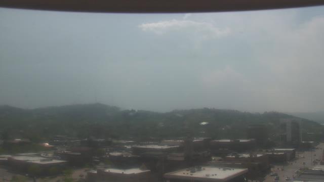
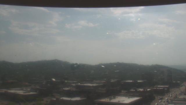
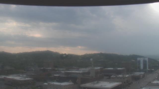
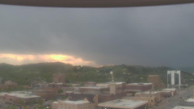
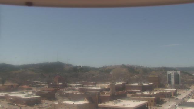
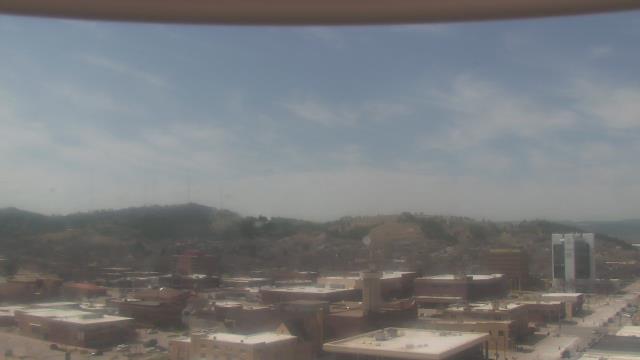
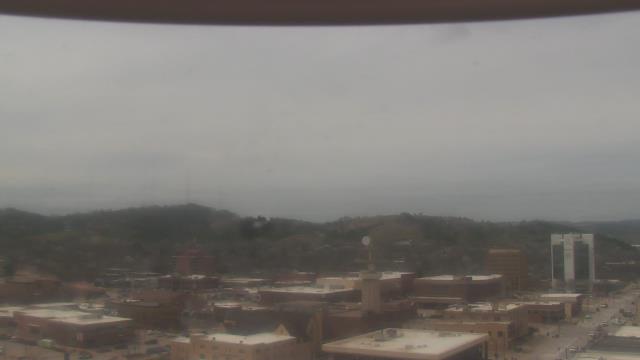
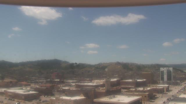
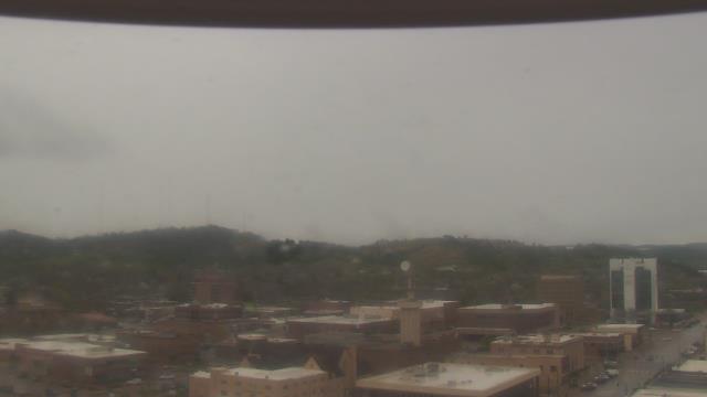
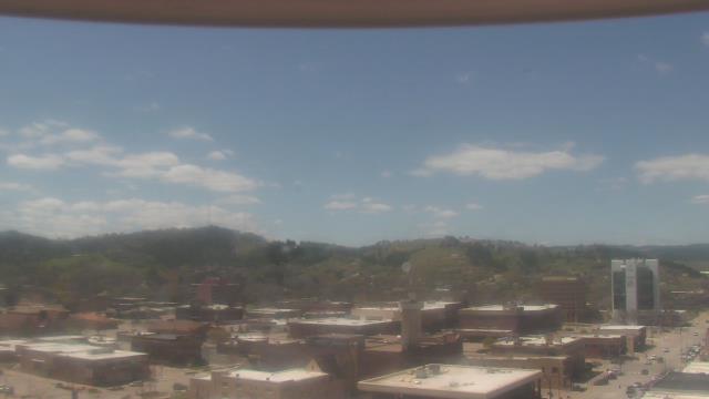
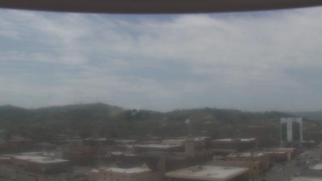
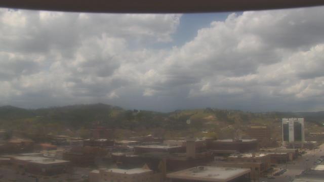
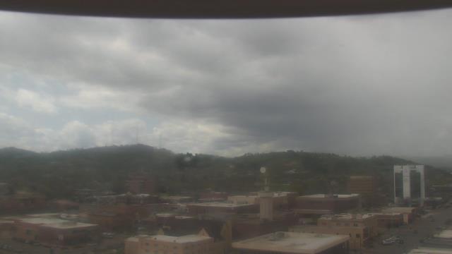
Rapid City, South Dakota, USA - 508.1 km da Summit: KOTA-TV - Una webcam a Rapid City, South Dakota - posizione della camera: KOTA-TV.
Operatore: WeatherBug
Mer. 08:55
Mer. 09:55
Mer. 10:55
Mer. 11:55
Mer. 12:55
Mer. 13:55
Mer. 14:55
Mer. 15:55
Mer. 16:55
Mer. 17:55
Mer. 18:55
Mer. 19:55
Mer. 20:55
Mer. 21:55
Mer. 22:55
Mer. 23:55
Gio. 00:55
Gio. 01:55
Gio. 02:55
Gio. 03:55
Gio. 04:55
Gio. 05:55
Gio. 06:55
Gio. 07:55
Mar. 9.4.
Mer. 10.4.
Gio. 11.4.
Ven. 12.4.
Sab. 13.4.
Dom. 14.4.
Lun. 15.4.
Mar. 16.4.
Mer. 17.4.
Gio. 18.4.
Ven. 19.4.
Sab. 20.4.
Dom. 21.4.
Lun. 22.4.
Mar. 23.4.
Mer. 24.4.
Gio. 25.4.
Ven. 26.4.
Sab. 27.4.
Dom. 28.4.
Lun. 29.4.
Mar. 30.4.
Mer. 1.5.
Gio. 2.5.
Ven. 3.5.
Sab. 4.5.
Dom. 5.5.
Lun. 6.5.
Mar. 7.5.
Mer. 8.5.
Operatore: WeatherBug
Mer. 08:55
Mer. 09:55
Mer. 10:55
Mer. 11:55
Mer. 12:55

Mer. 13:55
Mer. 14:55
Mer. 15:55
Mer. 16:55
Mer. 17:55
Mer. 18:55
Mer. 19:55
Mer. 20:55

Mer. 21:55
Mer. 22:55
Mer. 23:55
Gio. 00:55
Gio. 01:55

Gio. 02:55
Gio. 03:55
Gio. 04:55
Gio. 05:55
Gio. 06:55
Gio. 07:55
Mar. 9.4.
Mer. 10.4.
Gio. 11.4.
Ven. 12.4.
Sab. 13.4.
Dom. 14.4.
Lun. 15.4.
Mar. 16.4.

Mer. 17.4.
Gio. 18.4.
Ven. 19.4.
Sab. 20.4.
Dom. 21.4.
Lun. 22.4.
Mar. 23.4.
Mer. 24.4.
Gio. 25.4.

Ven. 26.4.

Sab. 27.4.
Dom. 28.4.
Lun. 29.4.
Mar. 30.4.
Mer. 1.5.
Gio. 2.5.
Ven. 3.5.
Sab. 4.5.
Dom. 5.5.
Lun. 6.5.

Mar. 7.5.
Mer. 8.5.

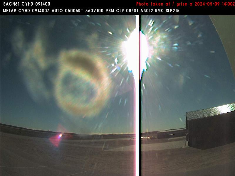
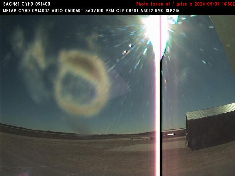
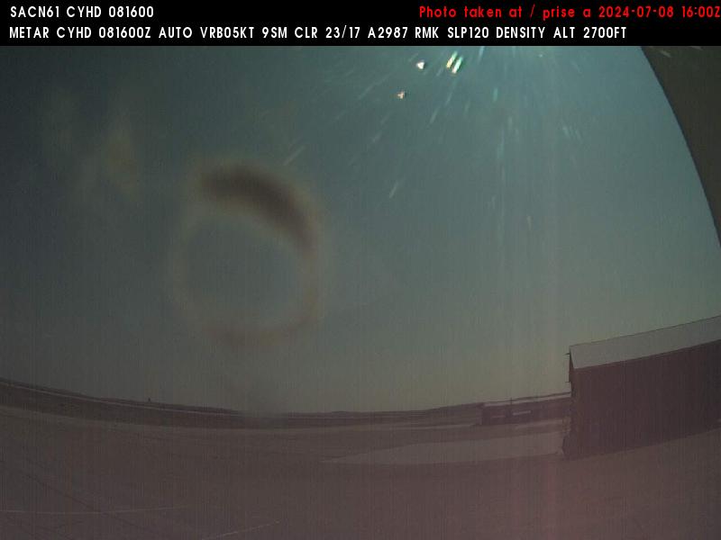
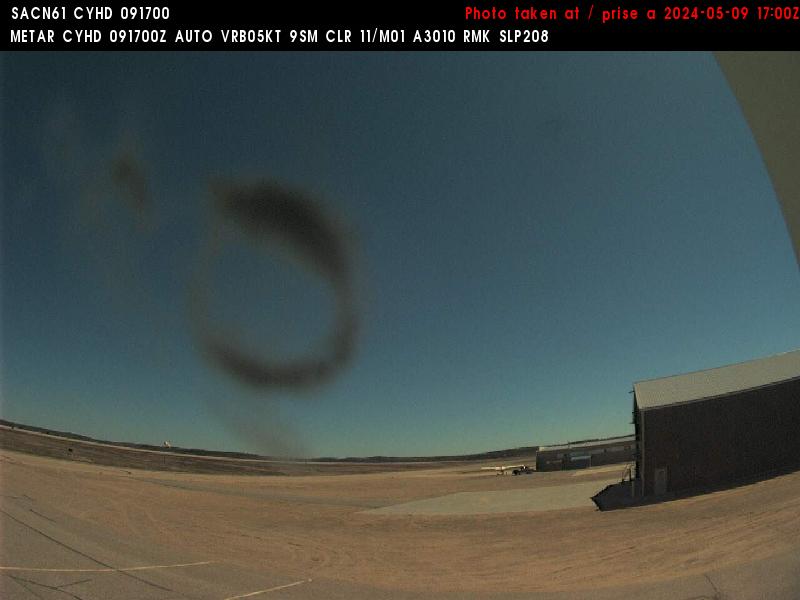
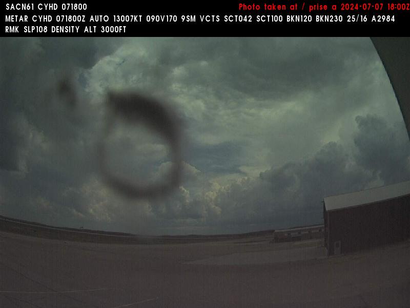
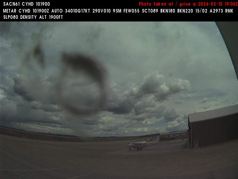
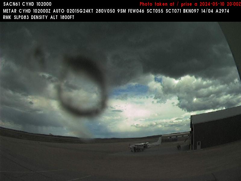
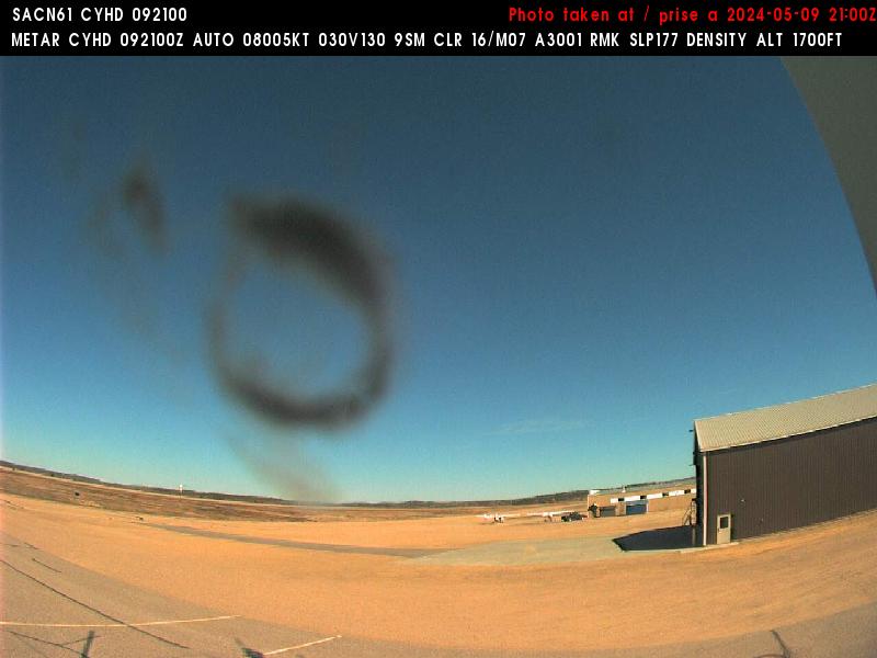
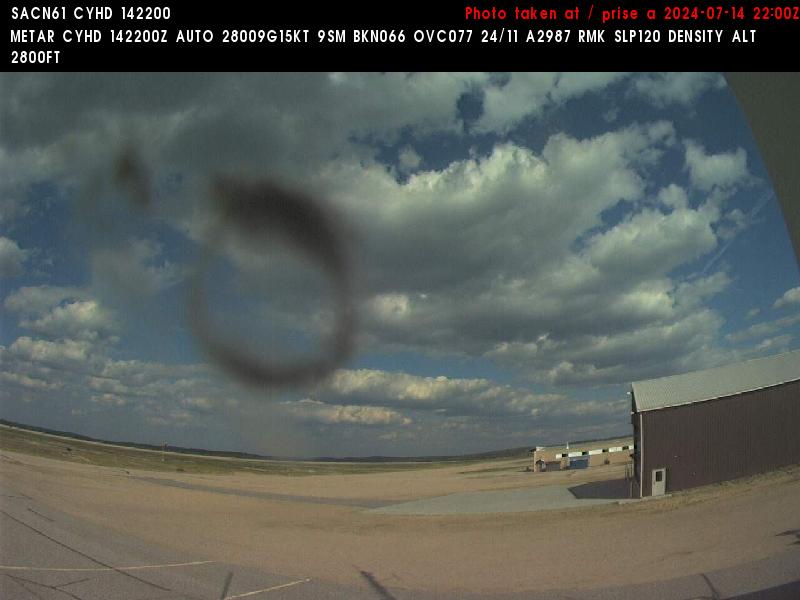
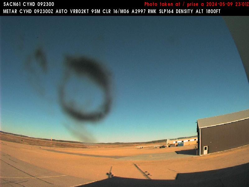
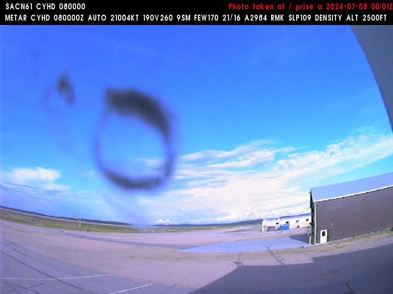
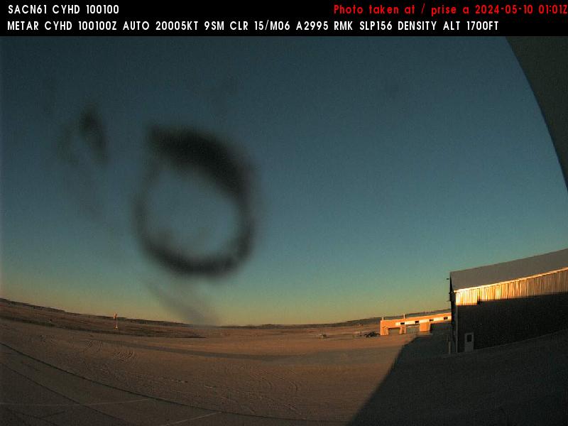
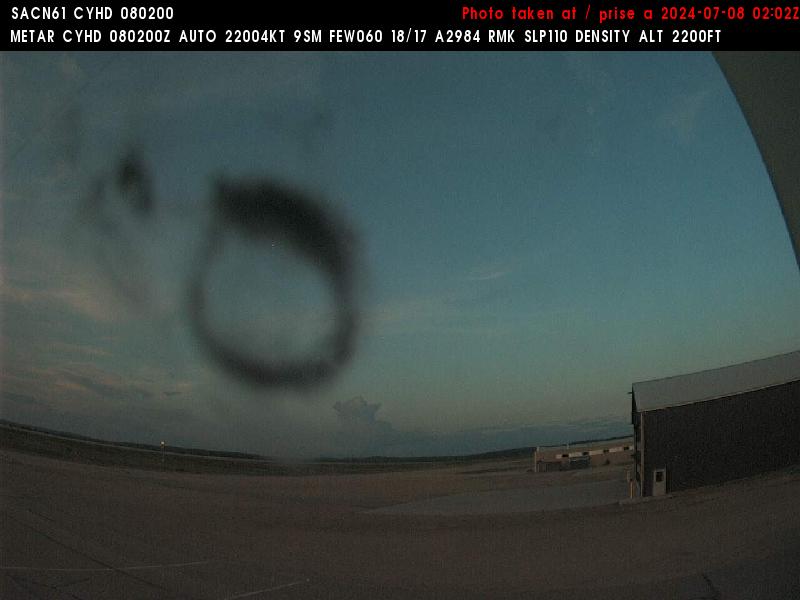
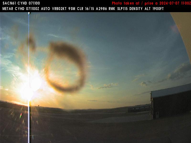
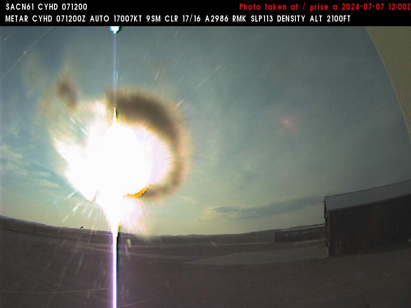
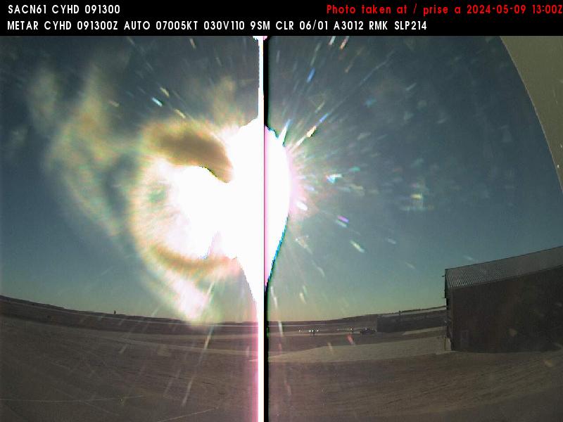
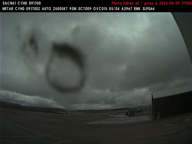
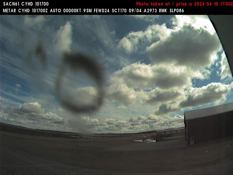
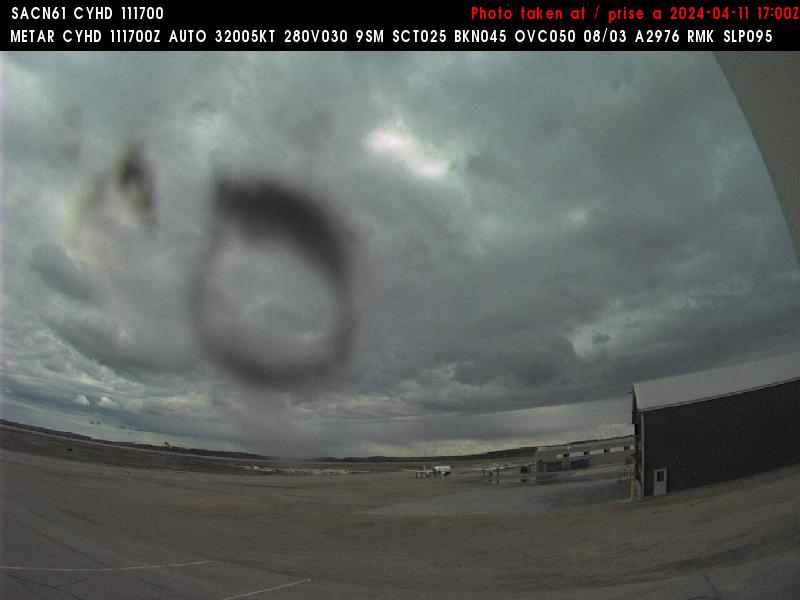
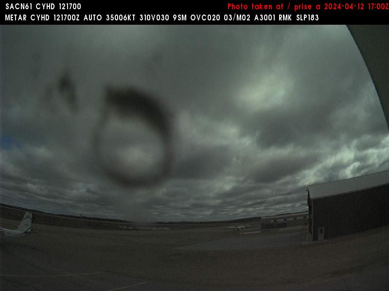
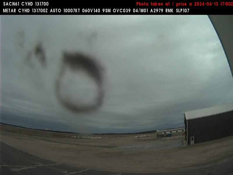
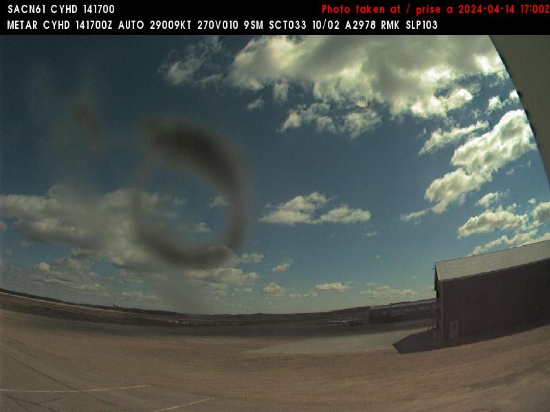
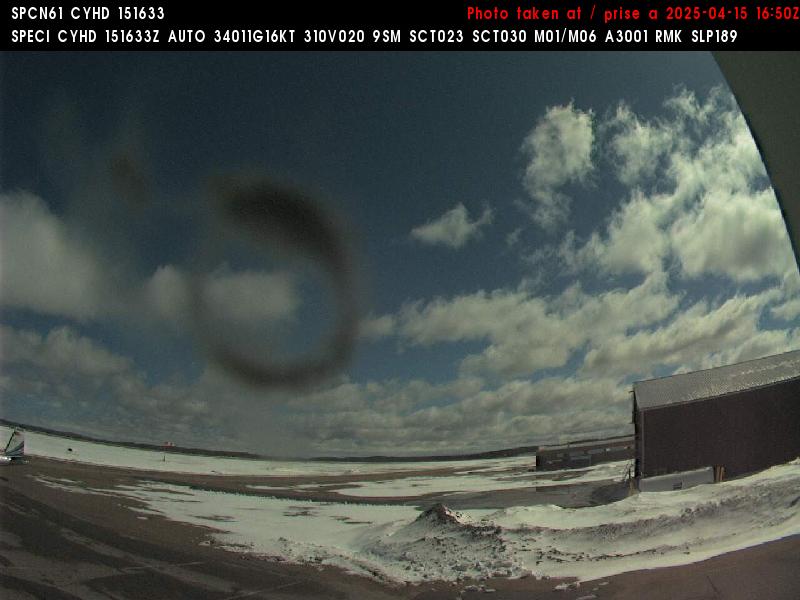
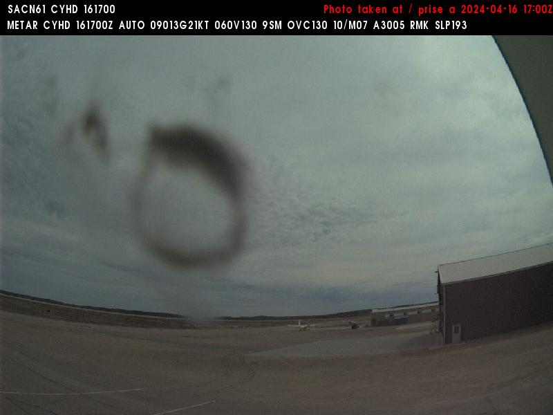
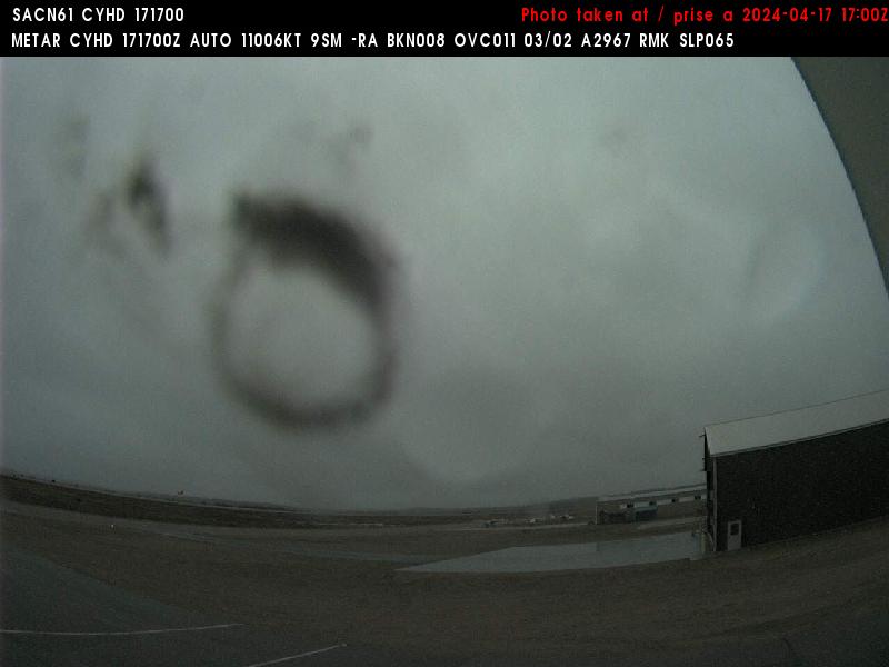
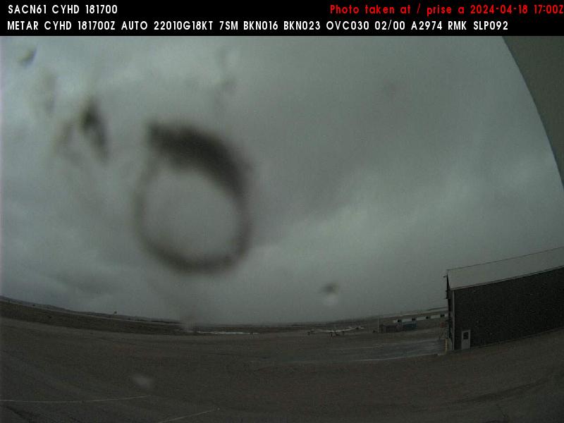
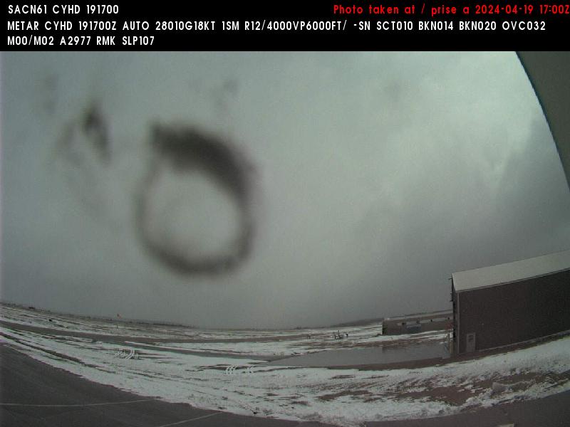
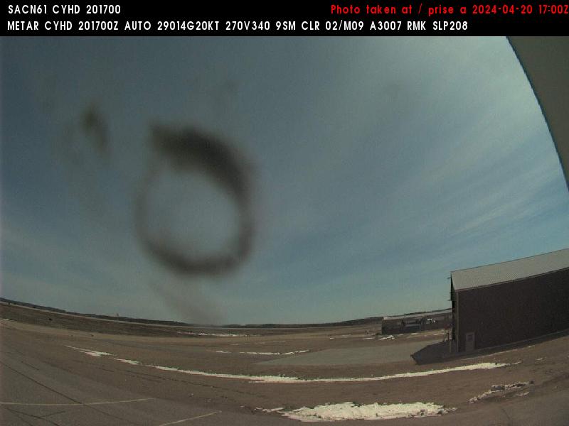
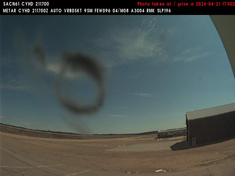
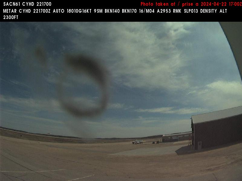
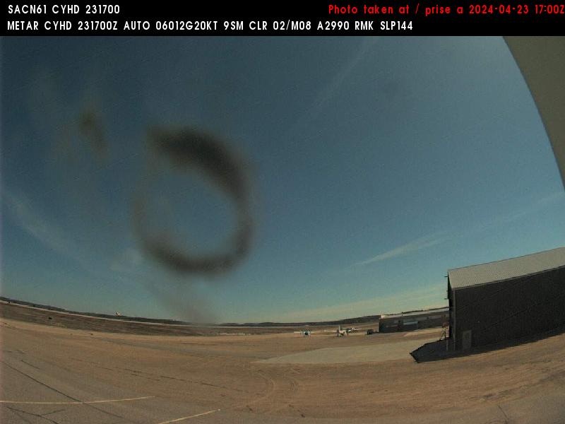
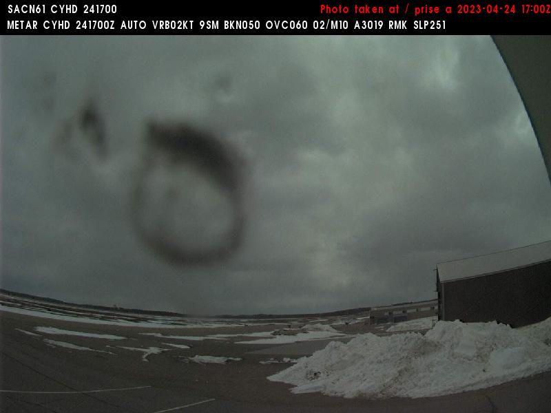
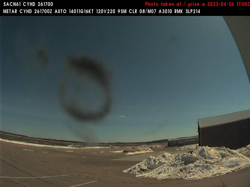
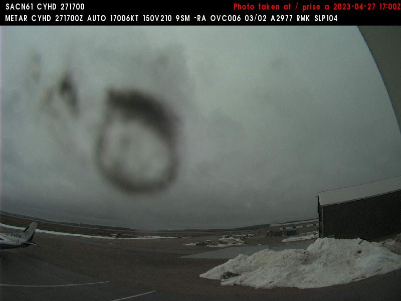
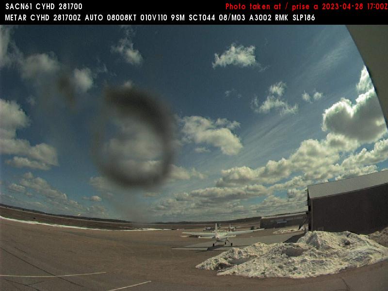
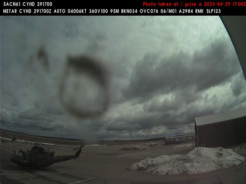
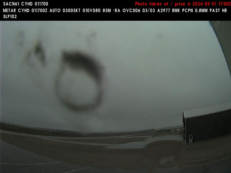
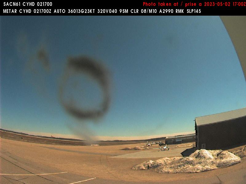
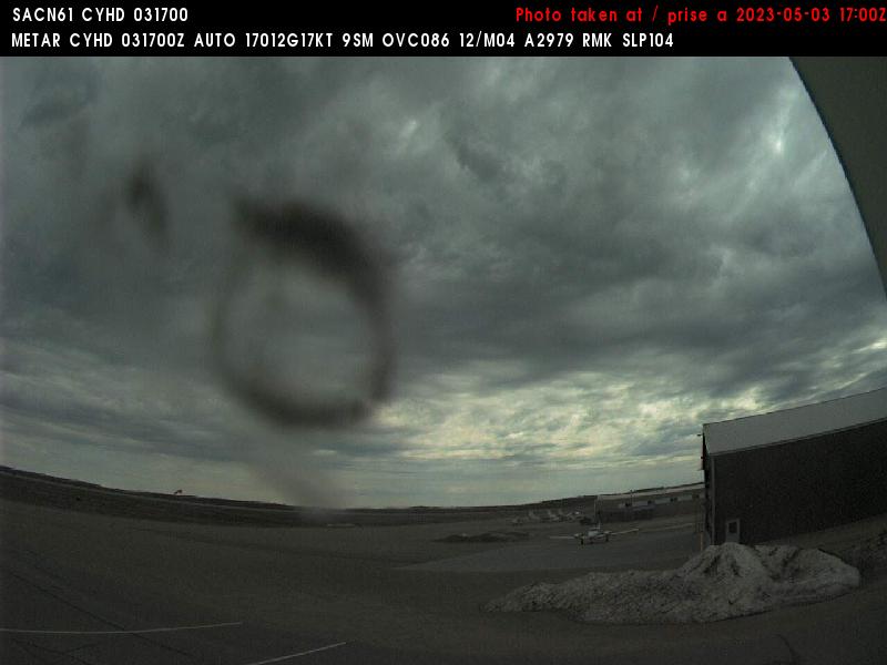
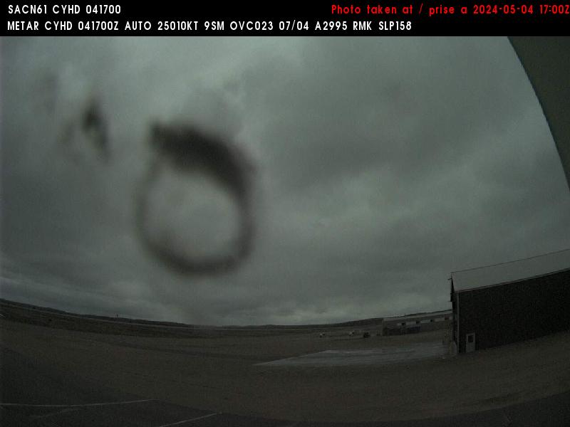
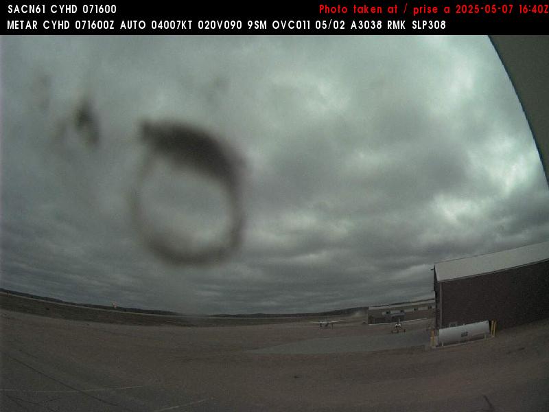
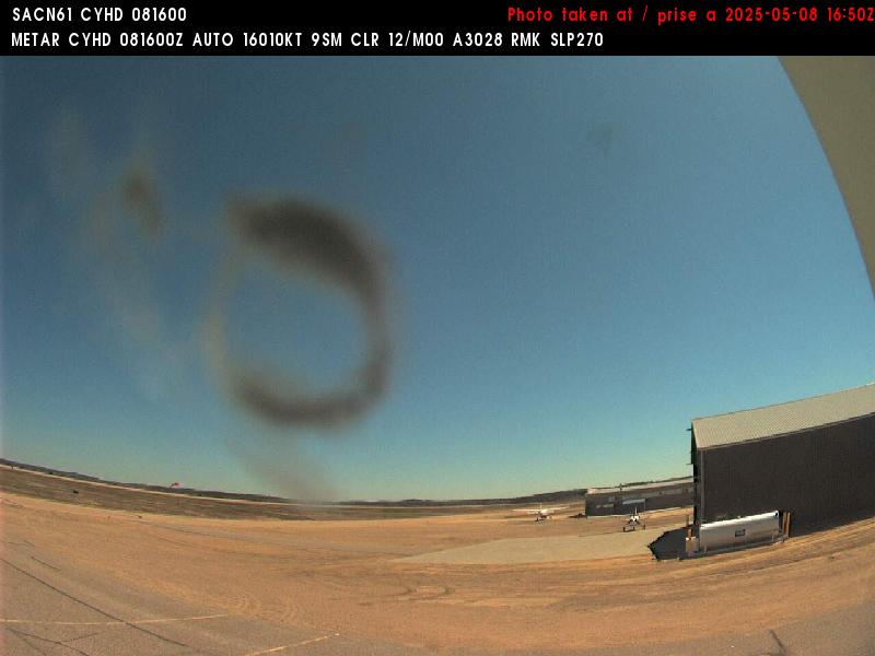
Dryden, Kanada - 588.9 km da Summit: Dryden Regional Airport (CYHD) - Una vista verso l'Est.
Operatore: NAV CANADA
Mer. 09:11
Mer. 10:11
Mer. 11:11
Mer. 12:11
Mer. 13:11
Mer. 14:11
Mer. 15:11
Mer. 16:11
Mer. 17:11
Mer. 18:11
Mer. 19:11
Mer. 20:11
Mer. 21:11
Mer. 22:11
Mer. 23:11
Gio. 00:11
Gio. 01:11
Gio. 02:11
Gio. 03:11
Gio. 04:11
Gio. 05:11
Gio. 06:11
Gio. 07:11
Gio. 08:11
Mar. 9.4.
Mer. 10.4.
Gio. 11.4.
Ven. 12.4.
Sab. 13.4.
Dom. 14.4.
Lun. 15.4.
Mar. 16.4.
Mer. 17.4.
Gio. 18.4.
Ven. 19.4.
Sab. 20.4.
Dom. 21.4.
Lun. 22.4.
Mar. 23.4.
Mer. 24.4.
Gio. 25.4.
Ven. 26.4.
Sab. 27.4.
Dom. 28.4.
Lun. 29.4.
Mar. 30.4.
Mer. 1.5.
Gio. 2.5.
Ven. 3.5.
Sab. 4.5.
Dom. 5.5.
Lun. 6.5.
Mar. 7.5.
Mer. 8.5.
Operatore: NAV CANADA
Mer. 09:11
Mer. 10:11
Mer. 11:11
Mer. 12:11
Mer. 13:11
Mer. 14:11
Mer. 15:11
Mer. 16:11
Mer. 17:11
Mer. 18:11
Mer. 19:11
Mer. 20:11
Mer. 21:11
Mer. 22:11
Mer. 23:11
Gio. 00:11

Gio. 01:11
Gio. 02:11

Gio. 03:11
Gio. 04:11
Gio. 05:11
Gio. 06:11
Gio. 07:11
Gio. 08:11
Mar. 9.4.
Mer. 10.4.
Gio. 11.4.
Ven. 12.4.
Sab. 13.4.
Dom. 14.4.
Lun. 15.4.
Mar. 16.4.
Mer. 17.4.
Gio. 18.4.
Ven. 19.4.
Sab. 20.4.
Dom. 21.4.
Lun. 22.4.
Mar. 23.4.
Mer. 24.4.

Gio. 25.4.
Ven. 26.4.
Sab. 27.4.
Dom. 28.4.
Lun. 29.4.

Mar. 30.4.
Mer. 1.5.
Gio. 2.5.
Ven. 3.5.
Sab. 4.5.

Dom. 5.5.

Lun. 6.5.
Mar. 7.5.
Mer. 8.5.
Alcuni altri luoghi in questo paese: Ramona - Turton - Warbonnet - Waubay - Wounded Knee - Chase - Dupree - Kyle - Lakota Homes - Allison Crossing